 Block
Abigail, Kentucky
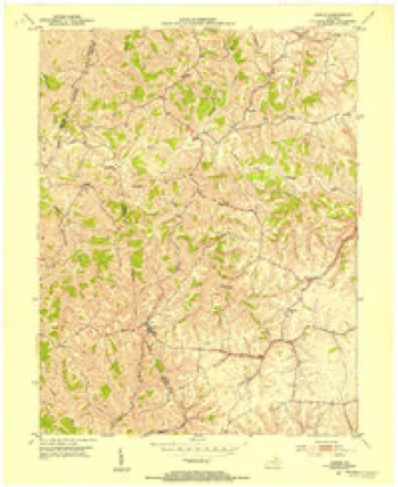
10 topographic sheets cover this place, the earliest surveyed in 1915 and the latest in 1991. It stands in the Mount Olivet census division. It lies in ZIP code area 41044. It stands on Wolf Run. The Survey maps it on the Sardis quadrangle.
Topographic sheets covering this place
7 surveys from 10 printed sheetsMatched by testing this settlement's coordinate against the published boundary of every sheet in the United States Geological Survey's historical collection. Each opens the scanned sheet at the Survey.
- 1915 USGS Maysville quadrangle1:62500
- 1919 USGS Maysville quadrangle1:62500
- 1952 USGS Sardis quadrangle1:24000, 2 printings
- 1957 USGS Huntington quadrangle1:250000, 3 printings
- 1960 USGS Huntington quadrangle1:250000
- 1986 USGS Maysville quadrangle1:100000
- 1991 USGS Maysville quadrangle1:100000
Storms near this place
4 since 2006Regional context, not property-specific evidence. The National Weather Service names Abigail in 4 storm reports between 2006 and 2022: 3 thunderstorm wind, 1 hail. No death or injury is recorded in these reports. Each account below is quoted exactly as the forecast office filed it, from the NOAA Storm Events Database, and each date opens the federal record of that event.
| When | Event | Place named | Harm | What the report says |
|---|---|---|---|---|
| June 2008 | Thunderstorm Wind | Abigail | $40,000 | Several homes sustained roof damage and the loss of vinyl siding to the northeast of Mount Olivet. One home has a second story window with broken glass with the window frame blown inwards. Several barns had outer walls collapsed with the loss of metal roof panels. These barns appeared to be older and poorly constructed. Numerous trees were snapped at the trunk or completely uprooted. Investigation determined this damage was caused by a microburst with maximum winds at 85 mph. |
| October 2022 | Thunderstorm Wind | Abigail | $5,000 | A few trees were downed along U.S. 62, just west of Sardis. A barn roof was also damaged. |
| May 2006 | Thunderstorm Wind | Abigail | $3,000 | Trees were downed. |
| April 2015 | Hail | Abigail | - | no account filed |
Nearest settlements
The eight closest, with where each one stands in the county. Distances are straight-line, computed from the Geographic Names Information System coordinates.
| Map | Place | Distance | Sheets |
|---|---|---|---|
| Linville (historical) | 2.7 miles | 6 | |
| Brierly Ridge (historical) | 3.3 miles | 6 | |
| Mount Olivet | 4.3 miles | 6 | |
| Hittville | 4.4 miles | 6 | |
| Ogden Ridge (historical) | 4.4 miles | 10 | |
| Five Lick Creek (historical) | 4.5 miles | 10 | |
| Bratton | 6.0 miles | 6 | |
| Mount Pleasant (historical) | 6.1 miles | 5 |
Provenance
This settlement is recorded in the Geographic Names Information System as feature 507368. The sheet list is computed by point-in-boundary test against the United States Geological Survey's historical topographic inventory. Both are works of the United States government and carry no copyright under 17 U.S.C. 105.
Storms. NOAA National Centers for Environmental Information, Storm Events Database https://www.ncei.noaa.gov/stormevents/ A work of the United States government, no copyright under 17 U.S.C. 105. Narratives are quoted verbatim from the National Weather Service report and are not edited or summarised.