 Block
Alvaton, Kentucky
13 topographic sheets cover this place, the earliest surveyed in 1921 and the latest in 1985. It stands in the Alvaton census division. It lies in ZIP code area 42122. It stands on Trammel Creek. The Survey maps it on the Allen Springs quadrangle. It stands 663 feet above sea level.
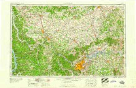
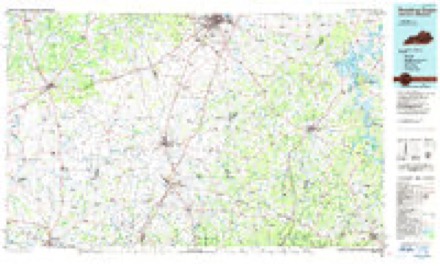
Topographic sheets covering this place
6 surveys from 13 printed sheetsMatched by testing this settlement's coordinate against the published boundary of every sheet in the United States Geological Survey's historical collection. Each opens the scanned sheet at the Survey.
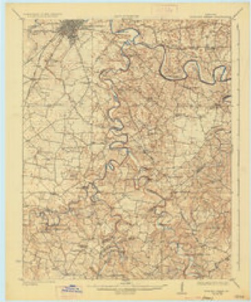
- 1921 USGS Bowling Green quadrangle1:62500
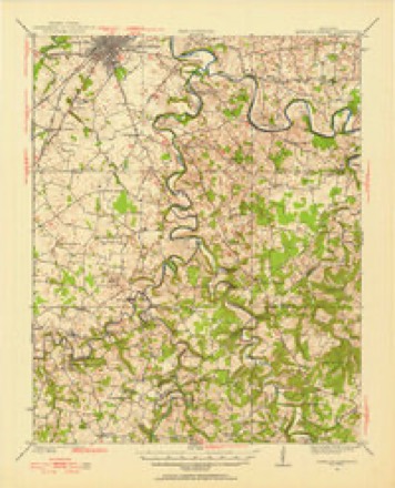
- 1923 USGS Bowling Green quadrangle1:62500, 4 printings
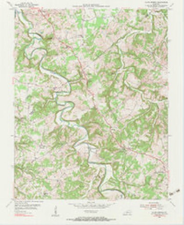
- 1954 USGS Allen Springs quadrangle1:24000, 2 printings
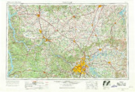
- 1956 USGS Nashville quadrangle1:250000, 2 printings
- 1959 USGS Nashville quadrangle1:250000
- 1985 USGS Bowling Green quadrangle1:100000, 3 printings
Fires near this place
5 since 1999Regional context, not property-specific evidence. The federal wildfire occurrence database lists 5 fires within 5 miles of Alvaton between 1999 and 2016, burning about 8 acres in total. None started naturally. None was recorded as arson. Distance is straight-line from the map coordinates, so a fire counted here may appear on a neighbouring settlement's page as well.
| Reported cause | Fires |
|---|---|
| Recreation and ceremony | 3 |
| Debris and open burning | 1 |
| Missing data/not specified/undetermined | 1 |
The most recent of them, most recent first, with the day each was reported and the service that recorded it.
| Date | Cause | Size | Reported by | Name on the report |
|---|---|---|---|---|
| 7 April 2010 | Missing data/not specified/undetermined | 1.0 acres | Kentucky Division of Forestry | not named |
| 21 March 2014 | Recreation and ceremony | under an acre | Kentucky Division of Forestry | TOWER FIRE |
| 17 March 2016 | Recreation and ceremony | 4.0 acres | Kentucky Division of Forestry | COSBY FIRE |
| 26 October 1999 | Debris and open burning | 3.0 acres | Kentucky Division of Forestry | not named |
| 24 October 2016 | Recreation and ceremony | under an acre | Kentucky Division of Forestry | DEWEY LAKE RD |
Settlements close enough to share some of these fires:
Storms near this place
18 since 1997Regional context, not property-specific evidence. The National Weather Service names Alvaton in 18 storm reports between 1997 and 2025: 7 hail, 5 thunderstorm wind, 4 flood, 2 tornado. No death or injury is recorded in these reports. Each account below is quoted exactly as the forecast office filed it, from the NOAA Storm Events Database, and each date opens the federal record of that event.
| When | Event | Place named | Harm | What the report says |
|---|---|---|---|---|
| March 2020 | Tornado (EF2) | Alvaton | $200,000 | Most of the damage was around the southeastern portion of the Alvaton community, east of Bowling Green. Several trees were either uprooted or pushed over, facing from the west-southwest to the east-northeast just west of Highway 231 on Fairview Road. The wind swath was about 200 yards wide. Just east of Highway 231 a large 40 x 60 storage barn for a camper had its roof partially lifted downwind to the east northeast. The metal siding was flung up to 150 yards into the trees. The tree damage continued along Alvaton- Scottsville Road into Marble Gate Ct. Several homes sustained roof damage, with several porches partially lifted up causing structural damage. One home on Marble Gate Court had four 20-pound steel chairs flung about 50 yards and the 35-pound table thrown 25 yards. Portions of the porch covering were blown 125 yards into the yard of their next-door neighbors yard, 2 of which punctured the house like a flying 2 by 4 missile. There were also portions of the deck impaled in the ground. The damage swatch then increased to about 225 yards and winds increased to 80 to 85 mph. There were at least three trees laying on homes.||Just east off Claypool Boyce Road... there was a distinct change in the tree pattern. Instead of just going to the northeast trees were now going to the northwest, north and northeast. A large 2 x 8 went flying and got wedged between the windshield wiper and the windshield but incredibly did not crack the windshield. This is where a small tornado formed within the straight-line wind path, with winds between 80 and 85 mph. Residents reported half inch hail, followed by a surge in lightning, then quiet, then a 20 second loud roar with popping in their ears followed by complete silence again. Further east in the 500 block of Kara Court, there was significant tree damage with the back of the house being uplifted and insulation being thrown upwind and downwind around the back of the house. Trees were laying in all directions with lots of twisting and many snapped trees. At the 200 block of Cross Creek Court, the clearest evidence of trees are facing all eight inter-cardinal headings. In this area, trees were snapped and uprooted all over the place. ||The survey team estimated well over 500 trees in a 1 mile stretch had been uprooted snapped or pushed over. Two of the snapped trees landed on pick up trucks. Winds increased to EF1 range of 95 mph and a width of 225 yards. At the 2400 block of WG Talley Road was the most significant damage of the entire survey. Three barns were destroyed, 2 of them were concreted in strong firm footers. One of the barns was 30 x 80, one was 150 x 100, and one was 12 x 16 along with numerous sheds destroyed, and debris was thrown in all directions downwind up to 500 yards. A 5000 pound horse trailer was thrown to the northwest 70 yards. ||A very well-built family residence took a direct hit from an EF2 tornado, with the front side of the home having the plywood exposed and with most of the shingles gone but the rest of the house fully intact due to the house having all the proper clips, braces, and rebar. Wind speeds at this point were 116 mph with a width of 250 yards. EF-1 Tree damage continued into Allen County along Allen Springs Road. The tornado lifted just north of Bailey School Road in far NW Allen County. |
| March 2012 | Tornado (EF1) | Alvaton | $50,000 | A supercell thunderstorm that earlier caused straight line wind damage to Simpson County brought golf ball sized hail that penetrated siding on numerous houses near Alvaton. A tornado touched down just east of Alvaton along State Highway 961. It destroyed a barn and tool shed along a one half mile track just along the north side of State Highway 961. |
| March 2020 | Thunderstorm Wind | Alvaton | $30,000 | Multiple trees were reported down, and there was significant roof damage to two homes. |
| May 2004 | Thunderstorm Wind | Alvaton | $10,000 | A couple of homes had roof damage near Alvaton School. |
| April 2025 | Thunderstorm Wind | Alvaton | - | Multiple trees and large limbs were down on the 6400 block of Old Scottsville Road. |
| May 2022 | Thunderstorm Wind | Alvaton | - | Several trees were blown down and the overhang of a building collapsed along Old Scottsville Road. |
| January 2021 | Thunderstorm Wind | Alvaton | - | Video from a security camera showed 18 trees with foliage getting blown over by high winds. |
| February 2015 | Flood | Alvaton | - | Heavy rain and melting snow combined to bring minor flooding to Drake's Creek at Alvaton. The river was in flood for only 4 hours, peaking at 22.2 feet just before noon. Flood stage is 22 feet. |
| April 2014 | Flood | Alvaton | - | Minor flooding on Drake's Creek near Alvaton resulted from heavy rains around Bowling Green on the 3rd and 4th of April. Flood stage is 22 feet. Drake's Creek crested at 23.6 feet during the early morning hours on April 4th. |
| April 2014 | Flood | Alvaton | - | Heavy rains on the 28th led to minor flooding of Drake's Creek at Alvaton. Flood state is 22 feet. The creek reached 25.8 feet during the afternoon of the 29th. |
| April 2013 | Flood | Alvaton | - | Heavy rains on the evening of April 27, led to minor flooding of Drake's Creek at Alvaton. This creek has a flood stage of 22 feet. It reached a crest of 29.1 feet during the early evening hours on the 28th of April. |
| July 2012 | Hail | Alvaton | - | A spotter reported quarter sized hail near Alvaton. |
| April 2017 | Hail | Alvaton | - | no account filed |
| April 2011 | Hail | Alvaton | - | no account filed |
| February 2009 | Hail | Alvaton | - | no account filed |
| February 2009 | Hail | Alvaton | - | no account filed |
| March 2002 | Hail | Alvaton | - | no account filed |
| March 1997 | Hail | Alvaton | - | no account filed |
Nearest settlements
The eight closest, with where each one stands in the county. Distances are straight-line, computed from the Geographic Names Information System coordinates.
| Map | Place | Distance | Sheets |
|---|---|---|---|
| White Kitchen (historical) | 2.7 miles | 16 | |
| Greenhill | 3.1 miles | 13 | |
| Boyce | 3.2 miles | 14 | |
| Plano | 3.5 miles | 16 | |
| Drake | 4.0 miles | 14 | |
| Motley | 4.2 miles | 13 | |
| Old Union (historical) | 4.8 miles | 14 | |
| Hardcastle | 4.9 miles | 13 |
Elsewhere
Matched on this settlement's Geographic Names Information System number rather than its name, so it cannot be a different place of the same name in another state.
| Wikipedia article on Alvaton | An encyclopaedic summary. Its text is share-alike, so it is linked here rather than copied. |
| Wikidata item Q14690018 | The structured record the population and elevation above come from. Public domain (CC0). |
Provenance
This settlement is recorded in the Geographic Names Information System as feature 485916. The sheet list is computed by point-in-boundary test against the United States Geological Survey's historical topographic inventory. Both are works of the United States government and carry no copyright under 17 U.S.C. 105.
Wildfire. Short, Karen C. 2022. Spatial wildfire occurrence data for the United States, 1992-2020 [FPA_FOD_20221014]. 6th Edition. Fort Collins, CO: Forest Service Research Data Archive. https://doi.org/10.2737/RDS-2013-0009.6 Collected with United States Government funding and usable without additional permissions or fees.
Storms. NOAA National Centers for Environmental Information, Storm Events Database https://www.ncei.noaa.gov/stormevents/ A work of the United States government, no copyright under 17 U.S.C. 105. Narratives are quoted verbatim from the National Weather Service report and are not edited or summarised.