Block
From the record
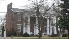
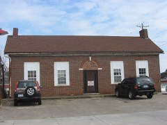
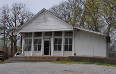
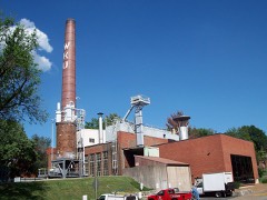
102 National Register listings published here.
Sources: the National Register database, National Park Service
81 topographic sheets and 9 fire insurance atlases across 1 place.
102 National Register listings published here.
Sources: the National Register database, National Park Service
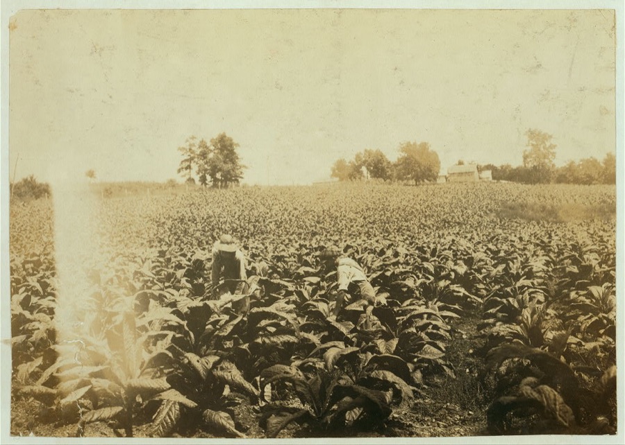
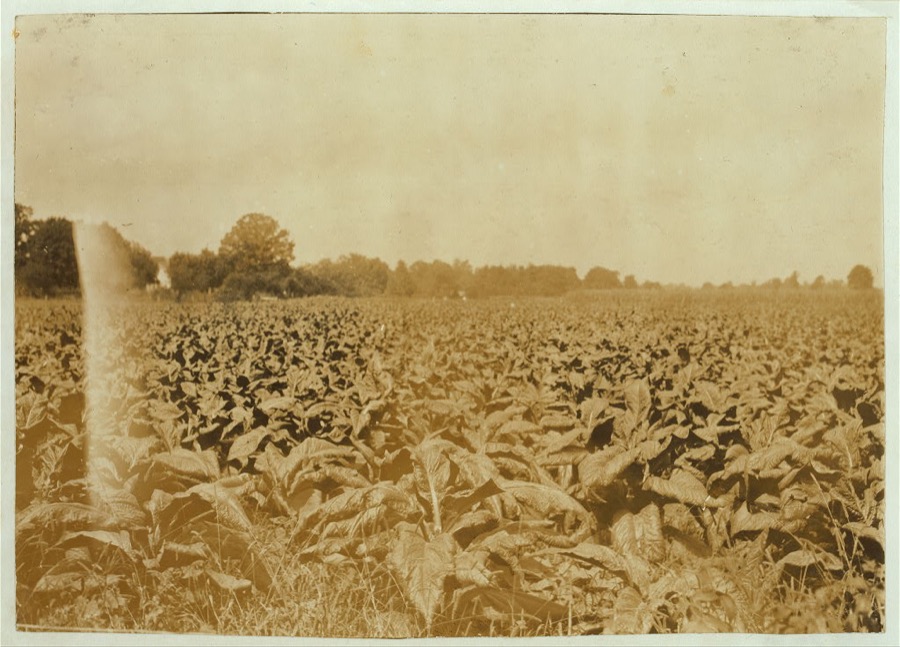
Taken for the Office of War Information and the Farm Security Administration, who photographed the country between 1935 and 1944. Works of United States government photographers, with no known restriction on use. Each opens its catalogue record.




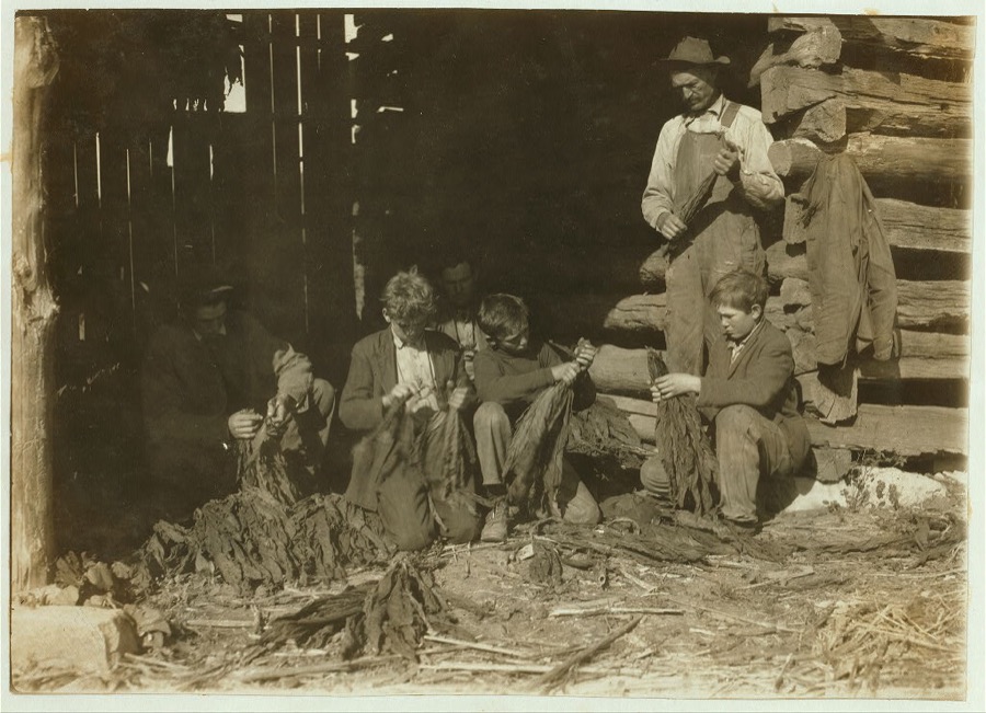
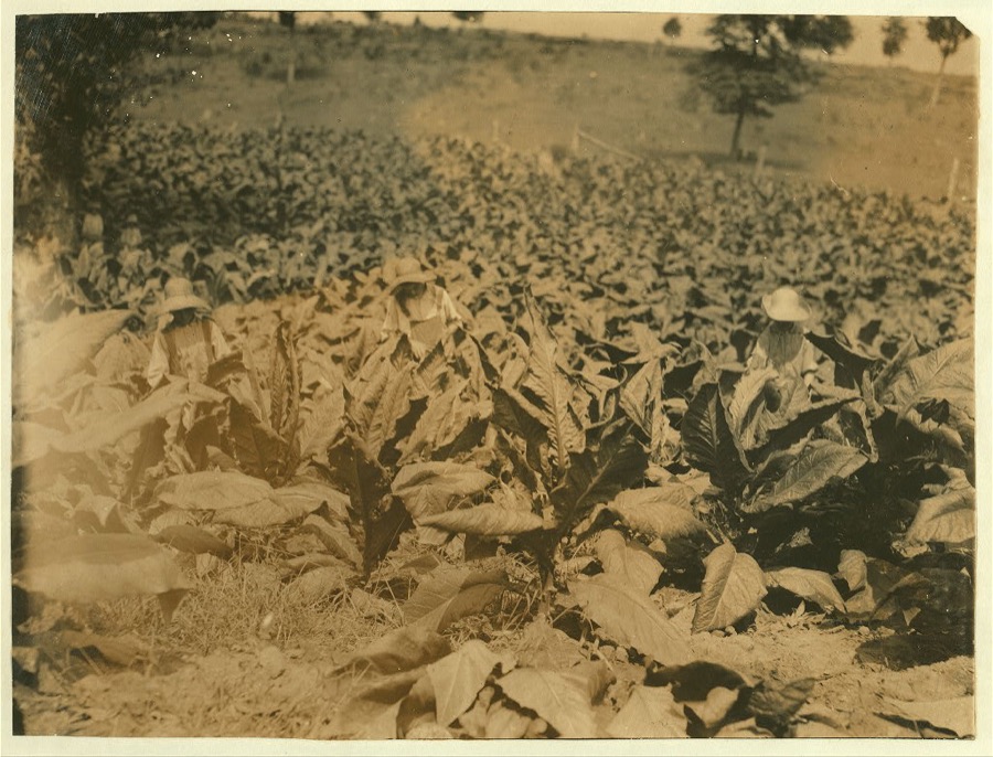

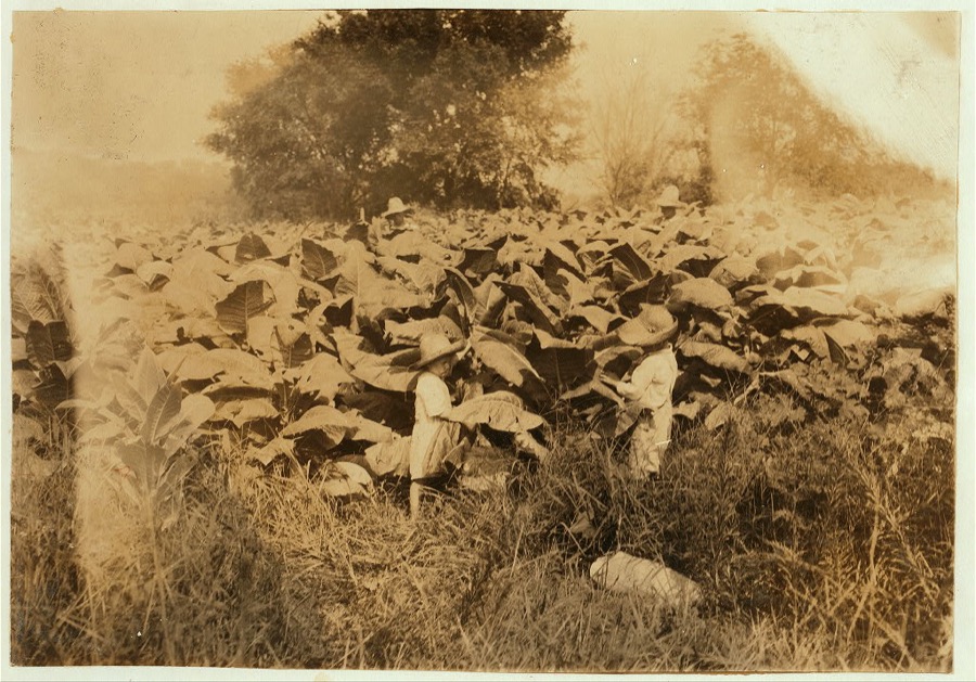
![[Family of J.H. Burch, Route 1, Rockfield, Ky. Boys 12, 14 and 17 (stripping tobacco) working during school hours. Have been out a good deal. Go to Quarry School (6-12). Two families represented in photo. See special card and Kentucky report. Location: [Warren County--Rockfield, Kentucky](assets/locph_2018678515.jpg)


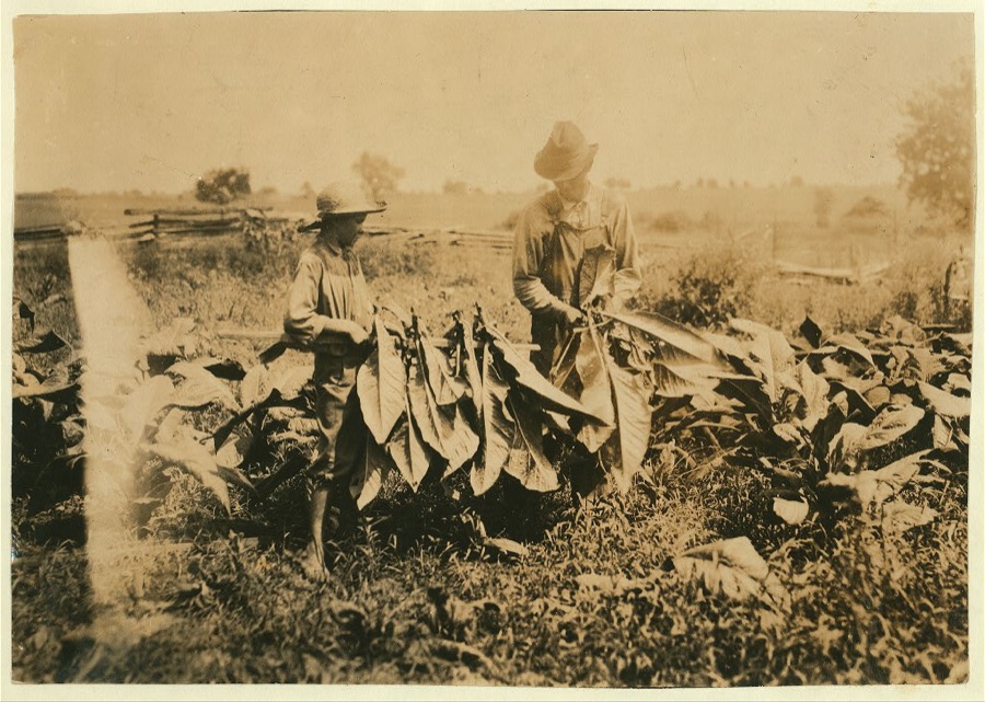


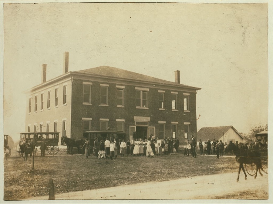
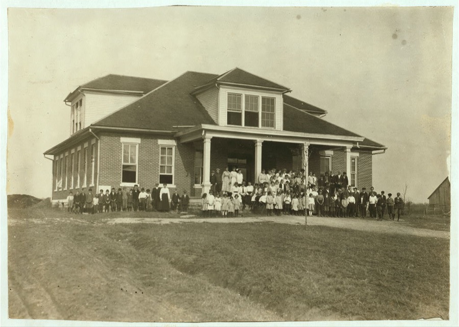
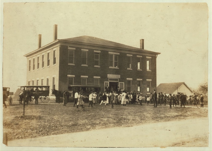
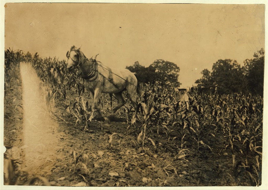

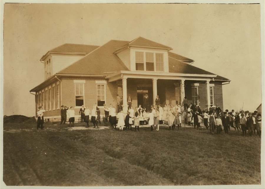




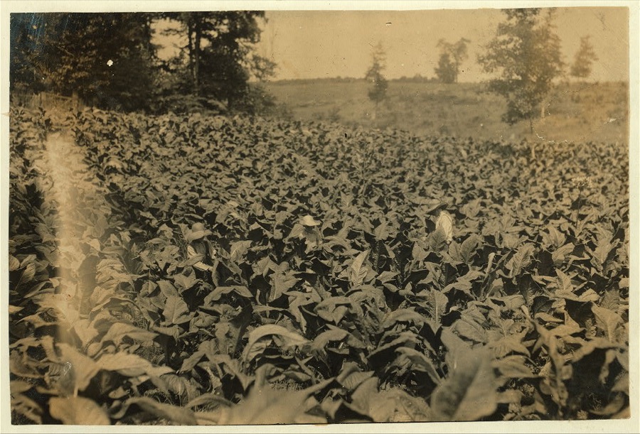

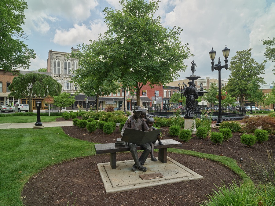
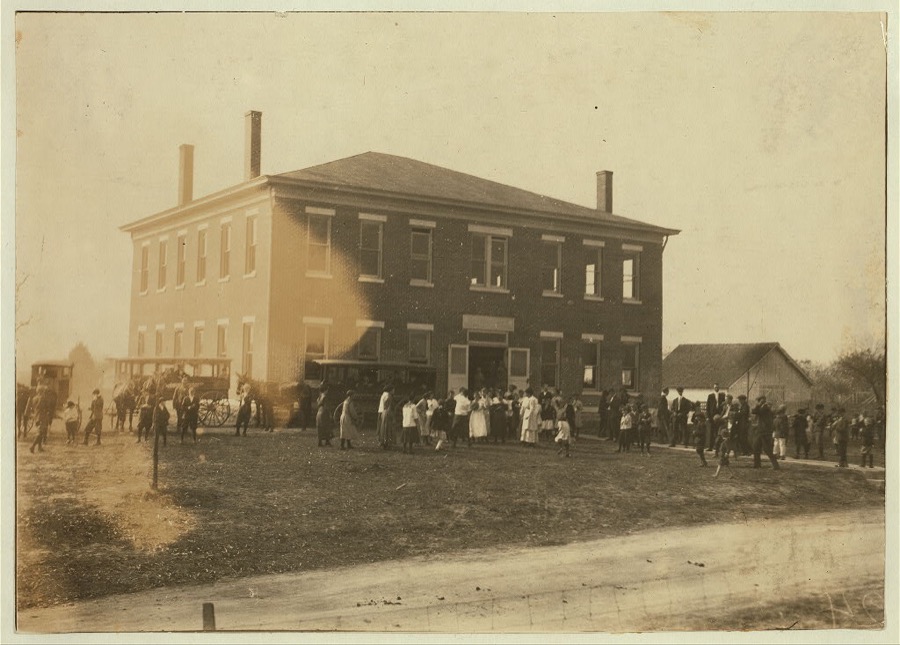
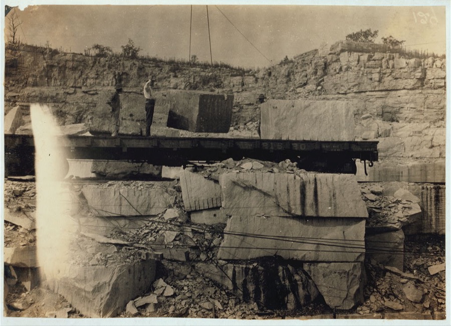
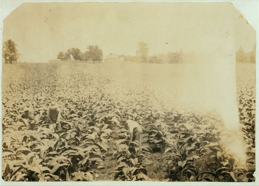
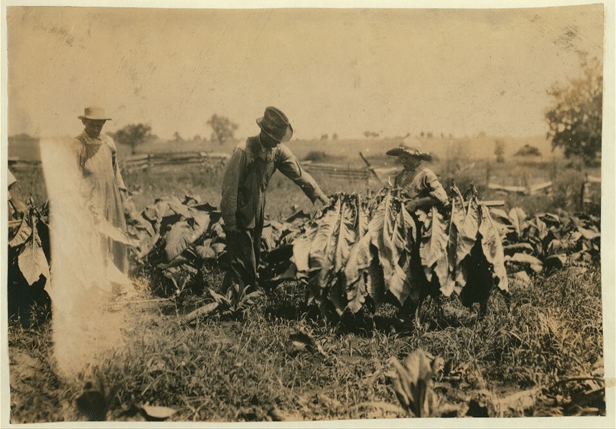
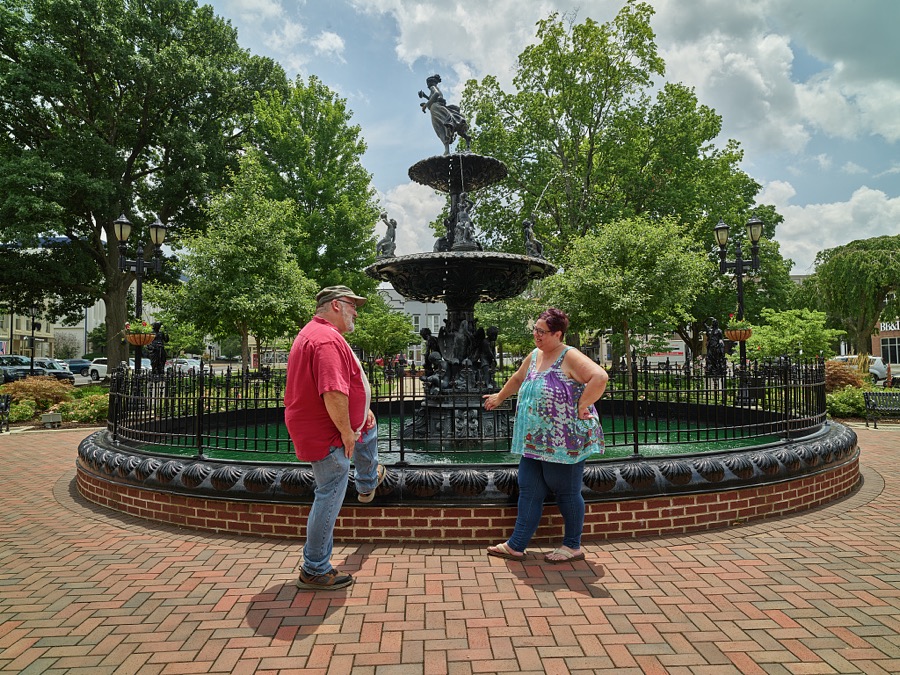
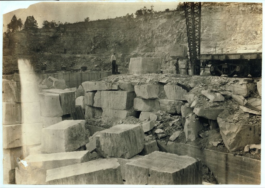
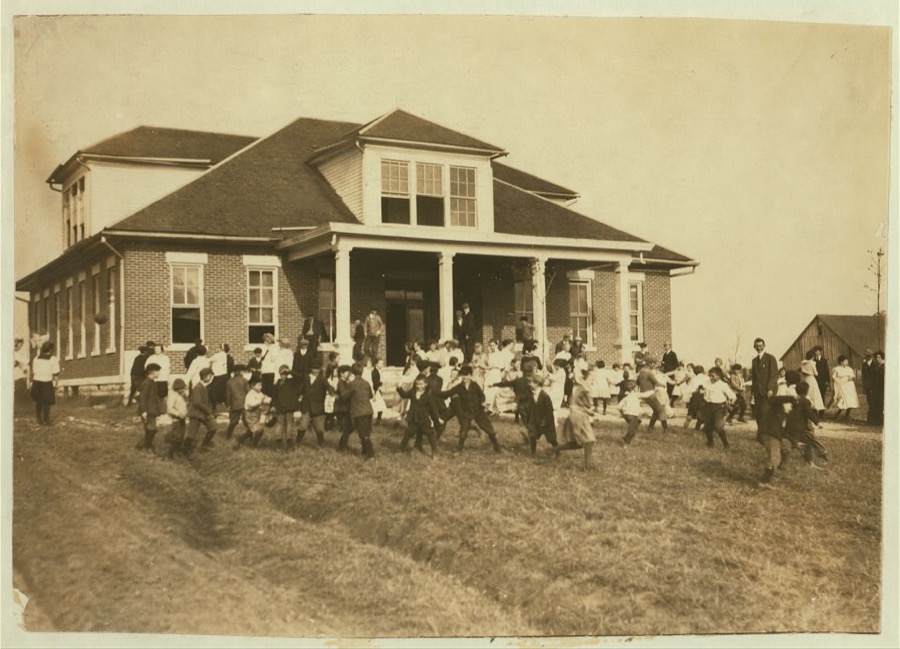



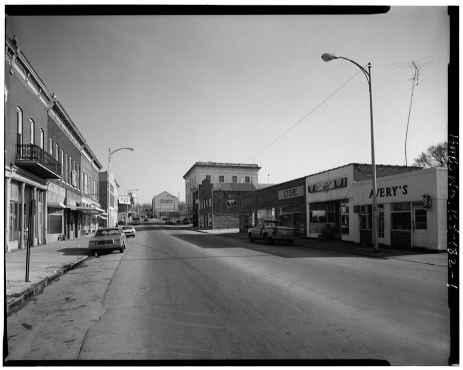
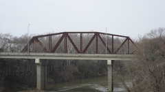
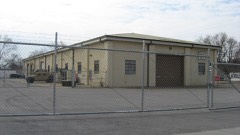
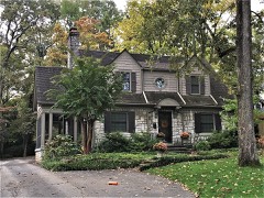
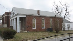
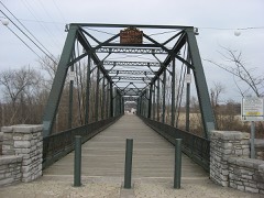
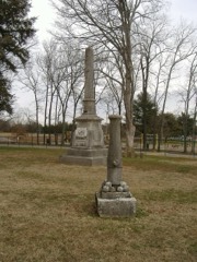
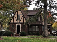
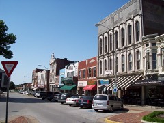
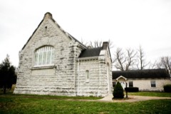
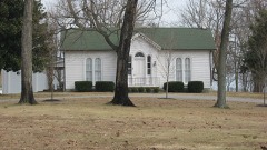
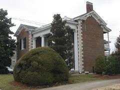
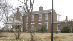
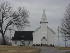
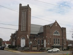
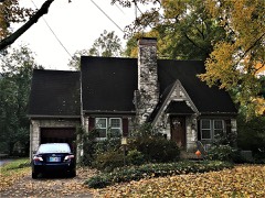
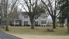
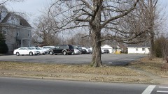
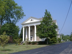
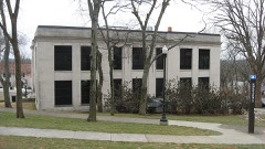
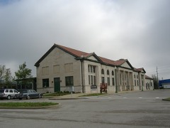
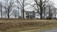
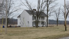
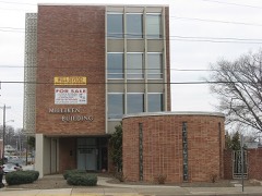
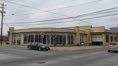
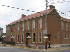
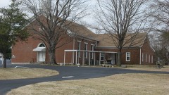
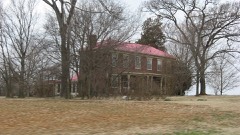
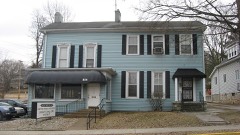
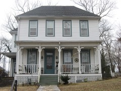
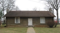
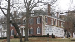
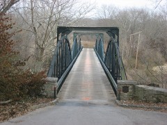
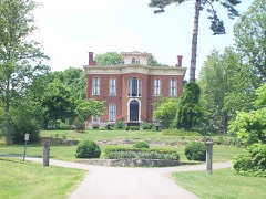
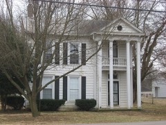
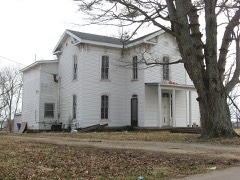
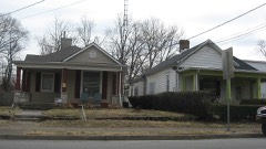
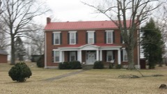
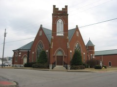
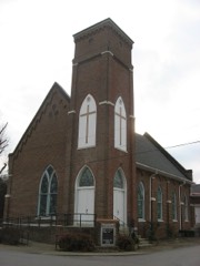
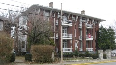
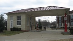
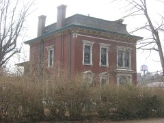
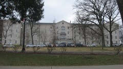
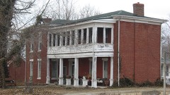
Every property in this county listed on the National Register of Historic Places, with the year it was listed and the federal nomination document.
Drawn when these were printed as single large sheets: the town seen from the air, and the county divided into its farms with every owner named. Each opens the original at the Library of Congress.

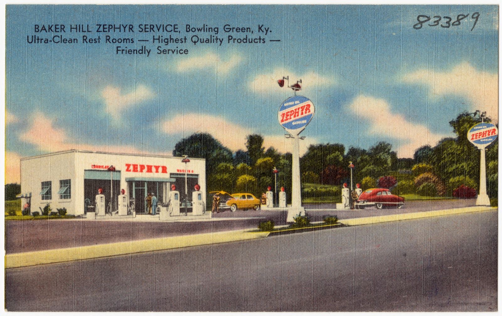
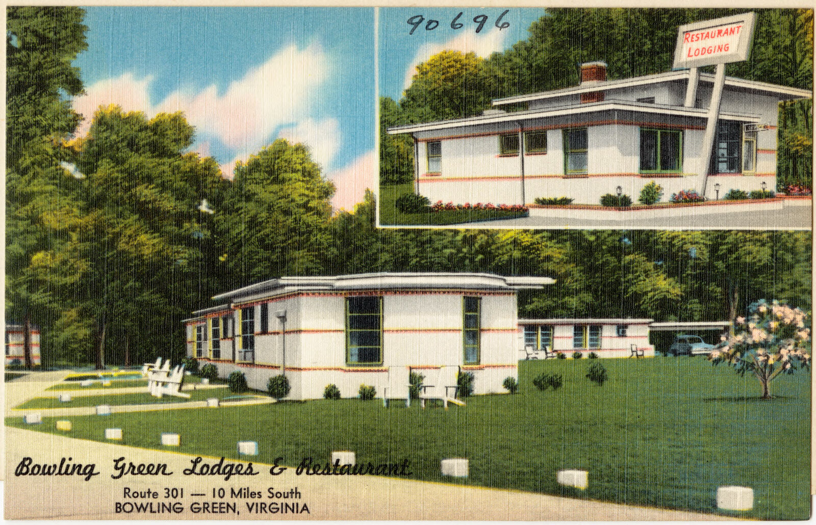
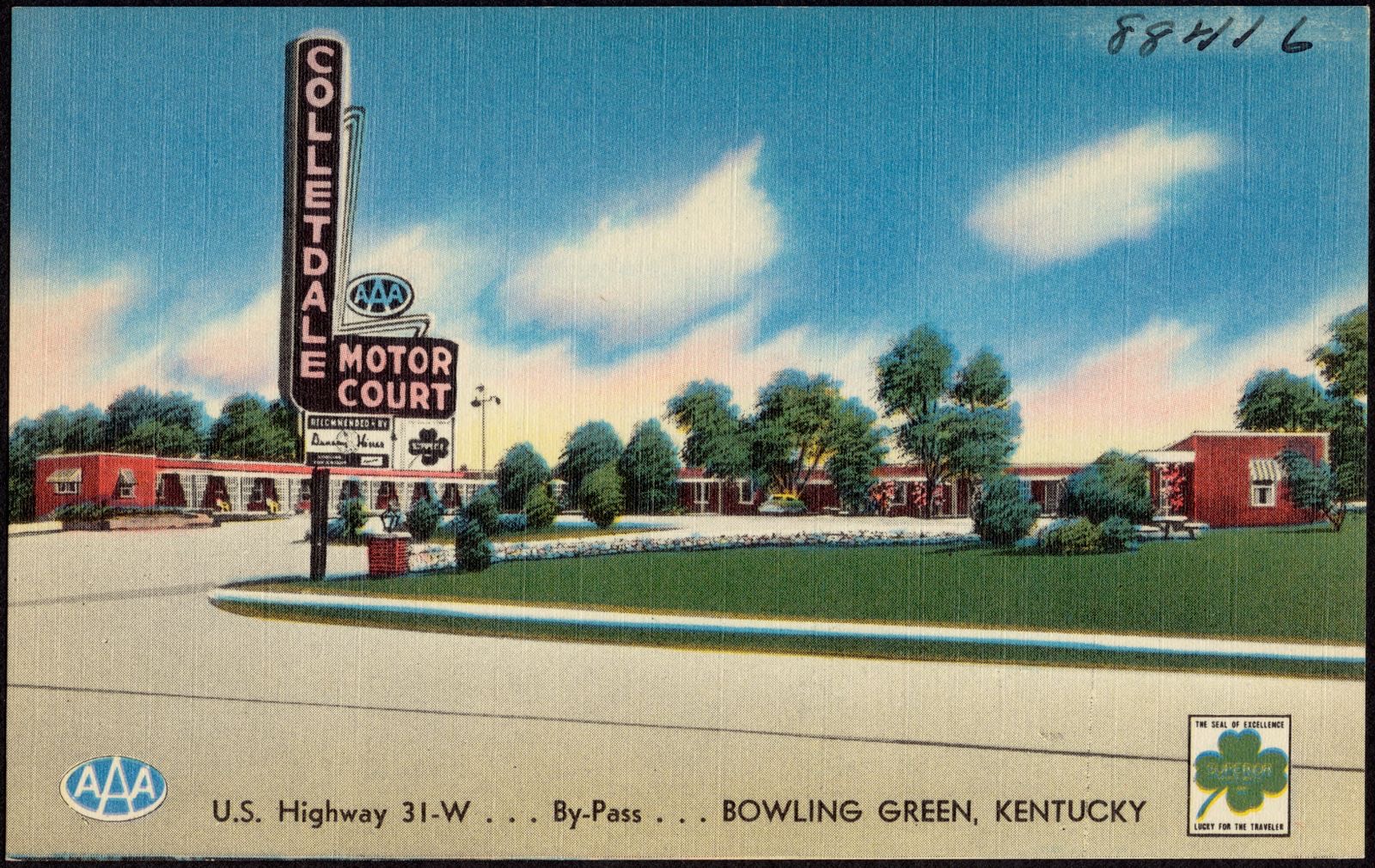
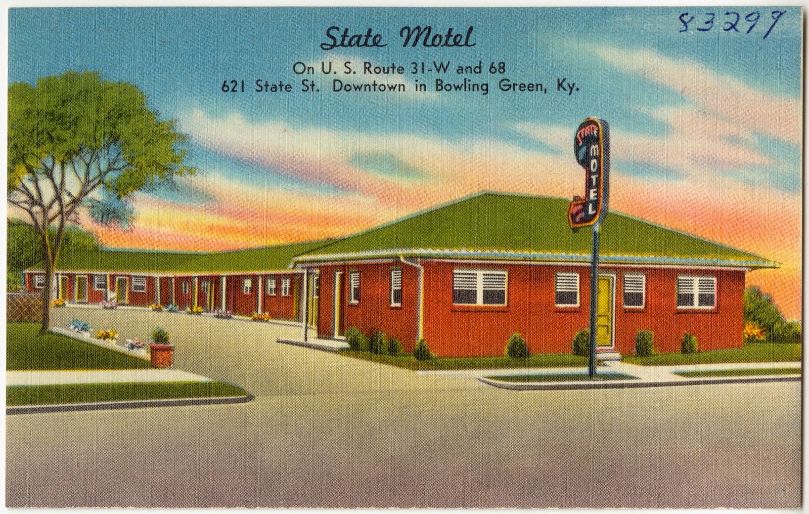
Selected from the Digital Public Library of America's 18 image records catalogued for this county. Every one shown here carries a public-domain status or a licence that permits reuse on a site that carries advertising; non-commercial, share-alike and restricted images are excluded. The selection is spread across the county's towns (at most eight per town), so no single institution's bulk upload crowds out the rest. Each opens the holding library's record, and the complete set at the Digital Public Library of America is one click away.


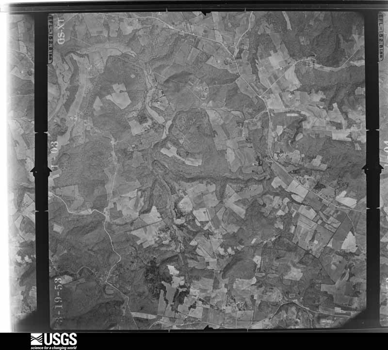
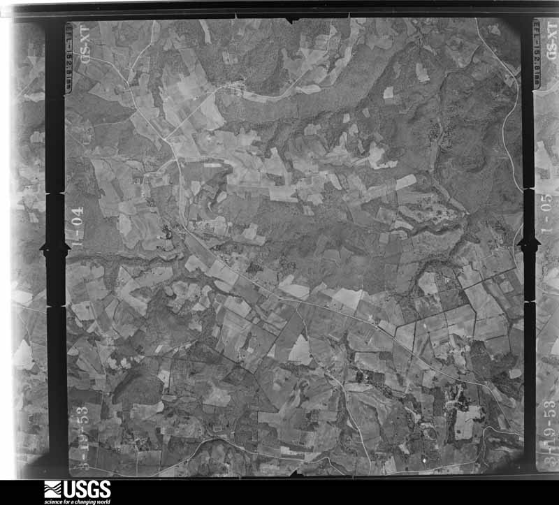
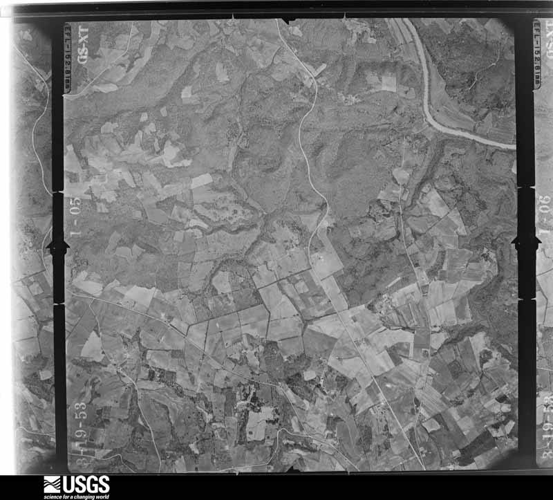
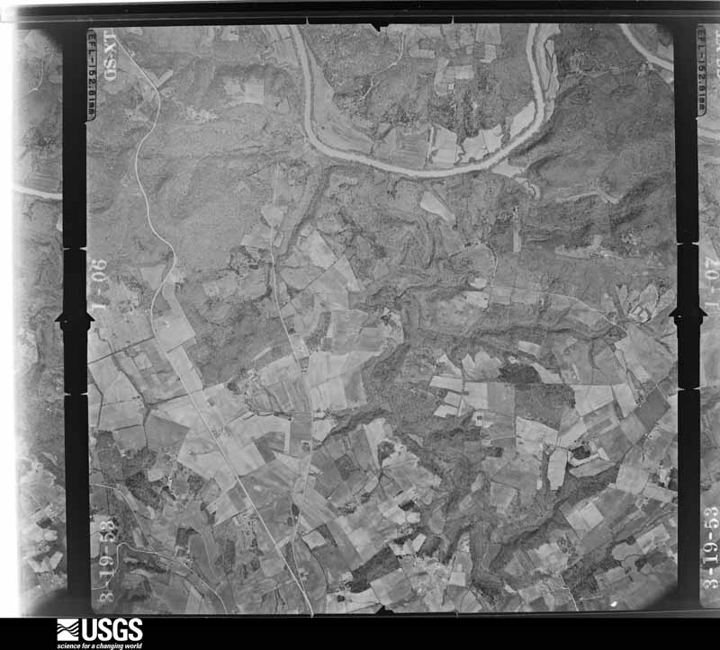
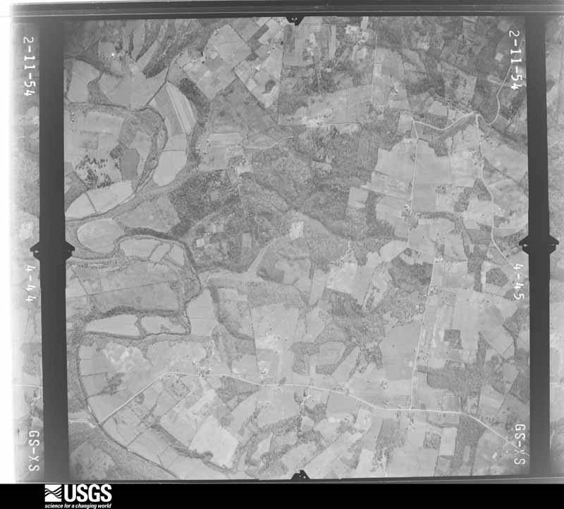
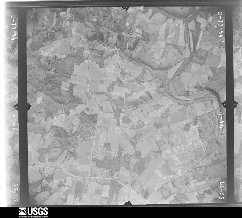
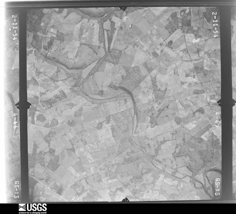
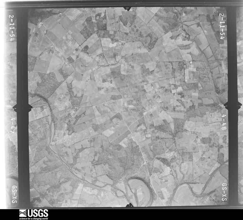
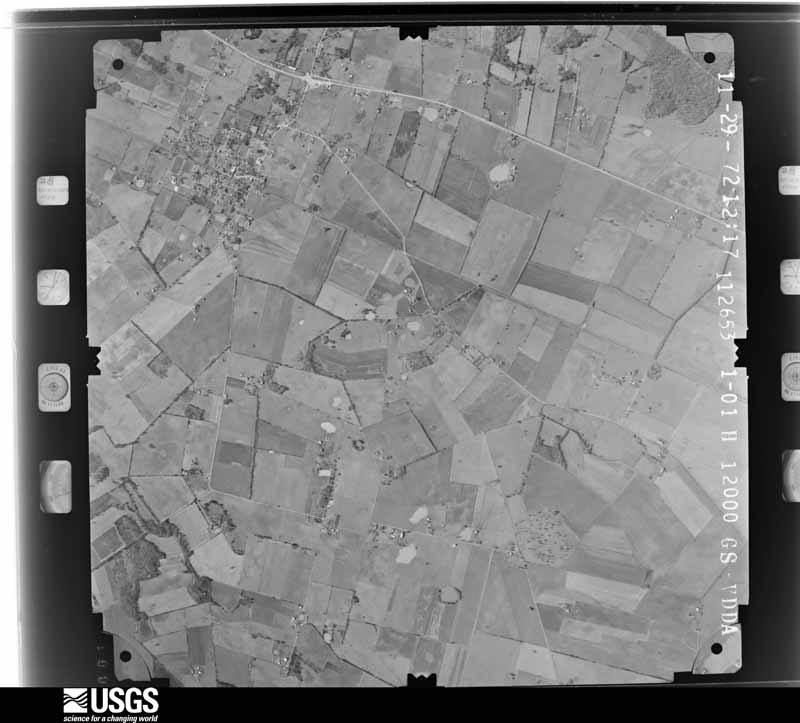
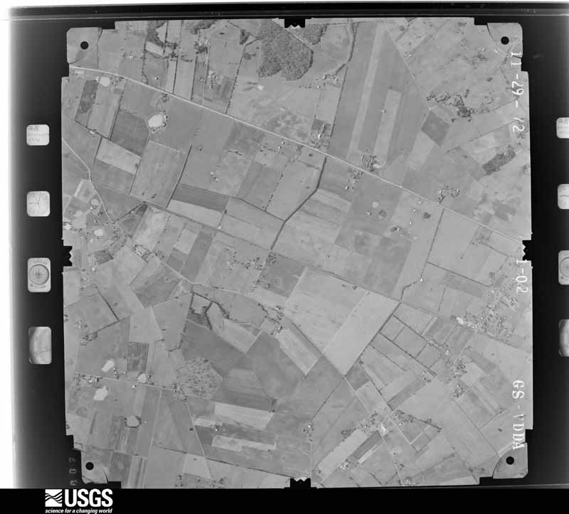
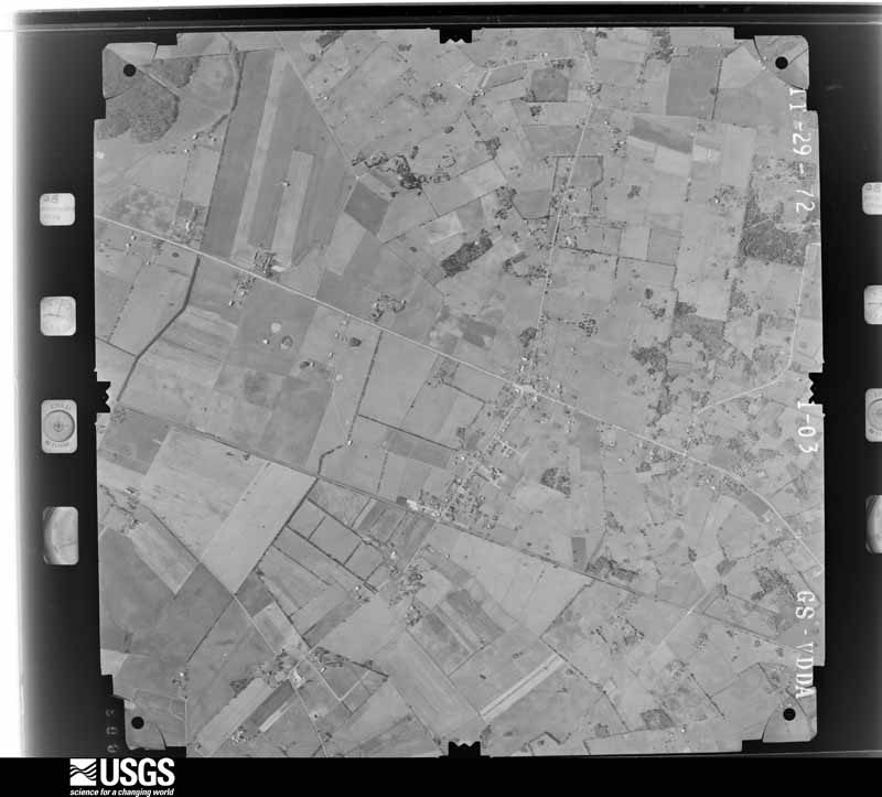
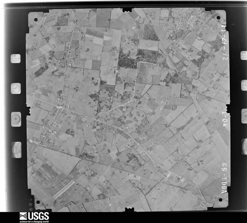
Flown by the U.S. Geological Survey between 1937 and 1989, the Aerial Photo Single Frames collection is the definitive mid-century view of the land: fields, roads and rivers as the camera saw them. The Survey holds 1,028 frames inside the rectangle that bounds this county; the 26 frames below were taken over the county itself, chosen across the decades of flights (at most four a year from that rectangle), so one flight cannot crowd out the rest. The full set is free to browse and download at EarthExplorer under the dataset Aerial Photo Single Frames.
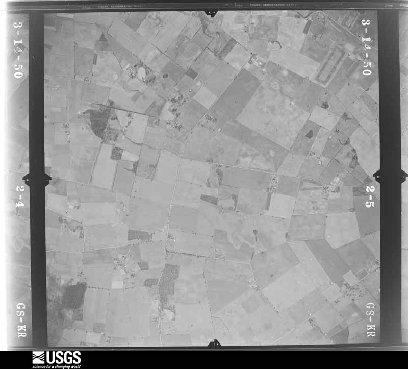
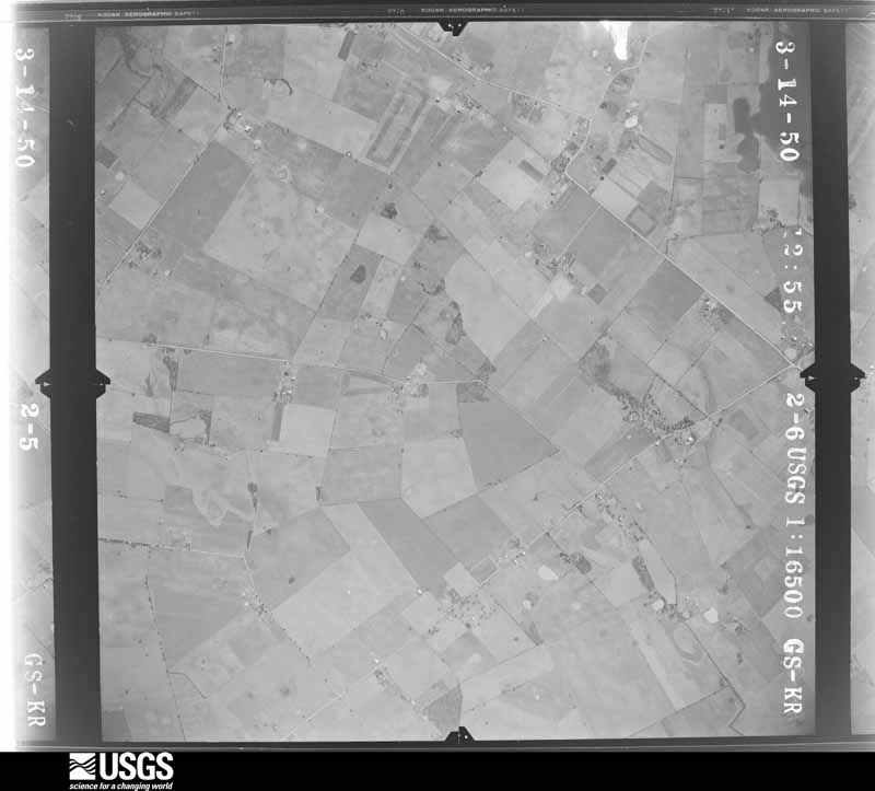
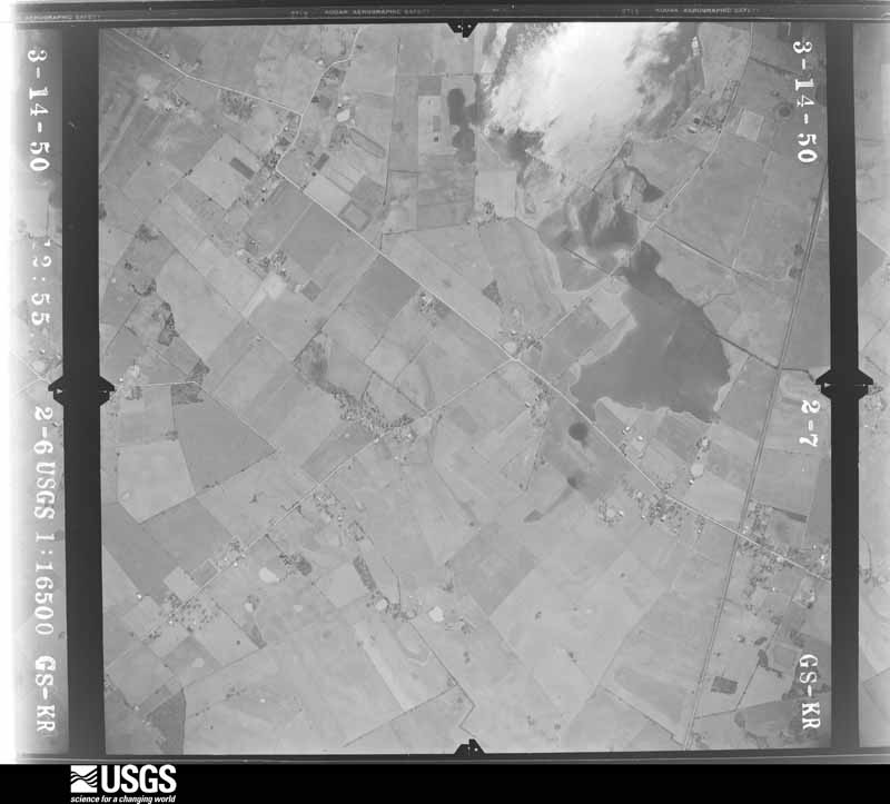
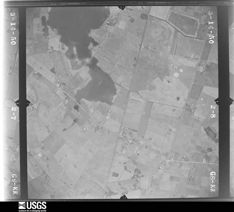
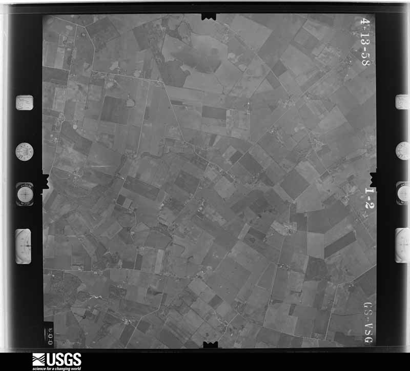
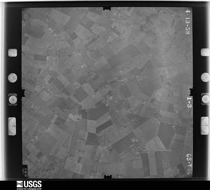
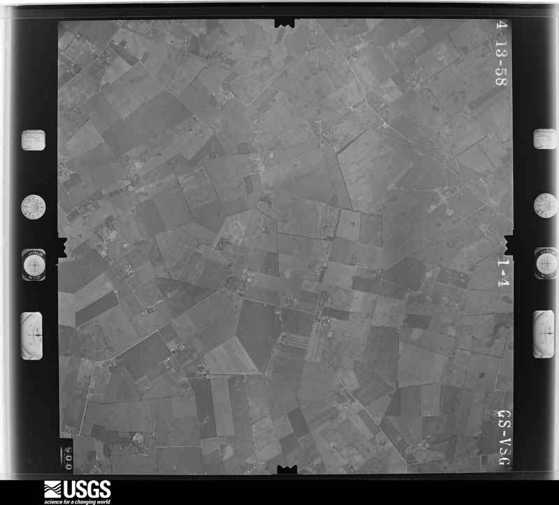
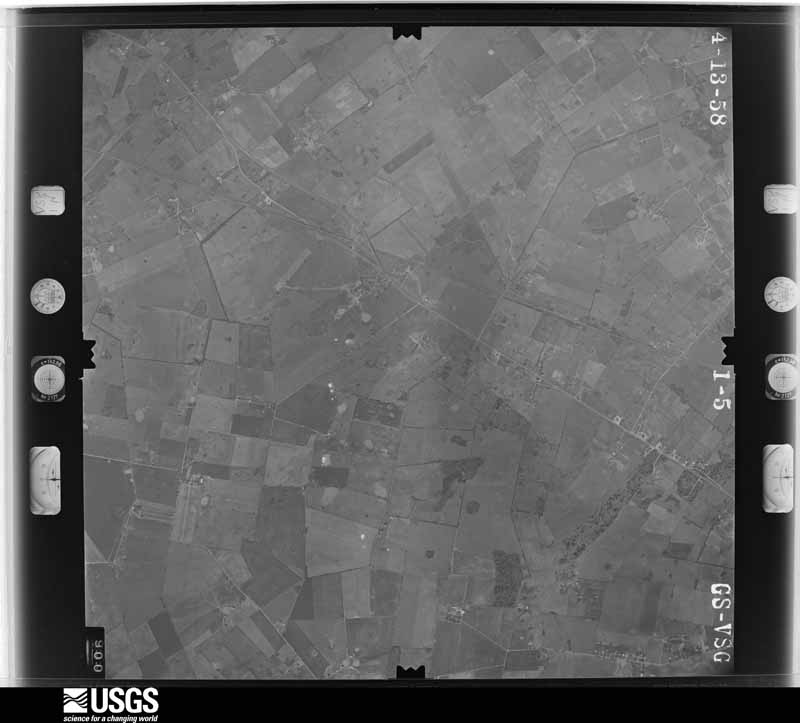
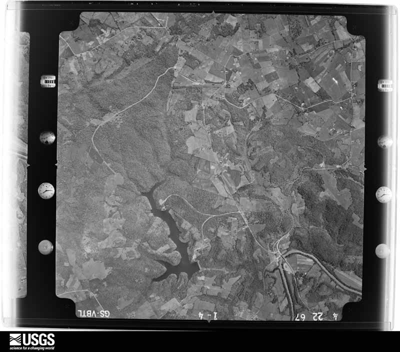
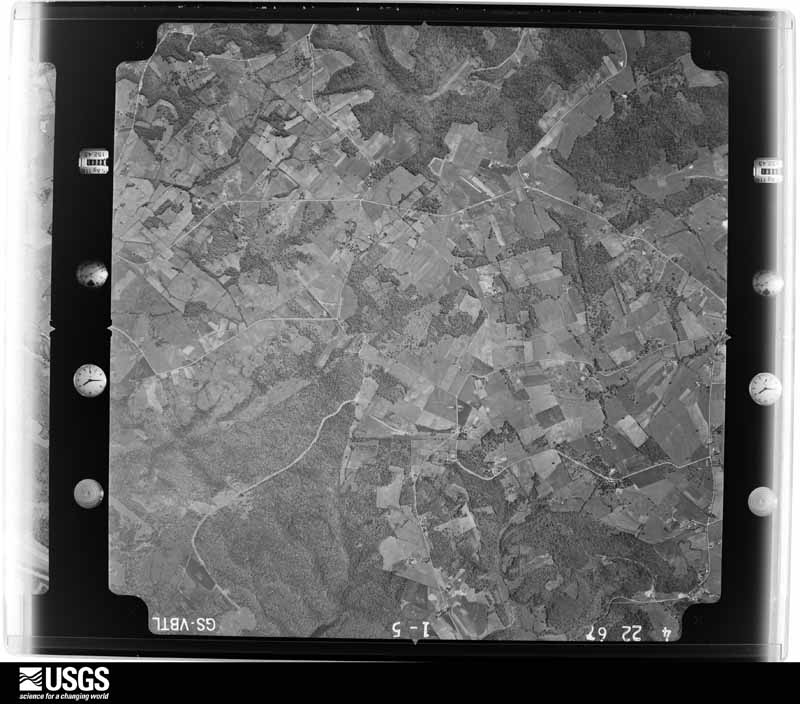
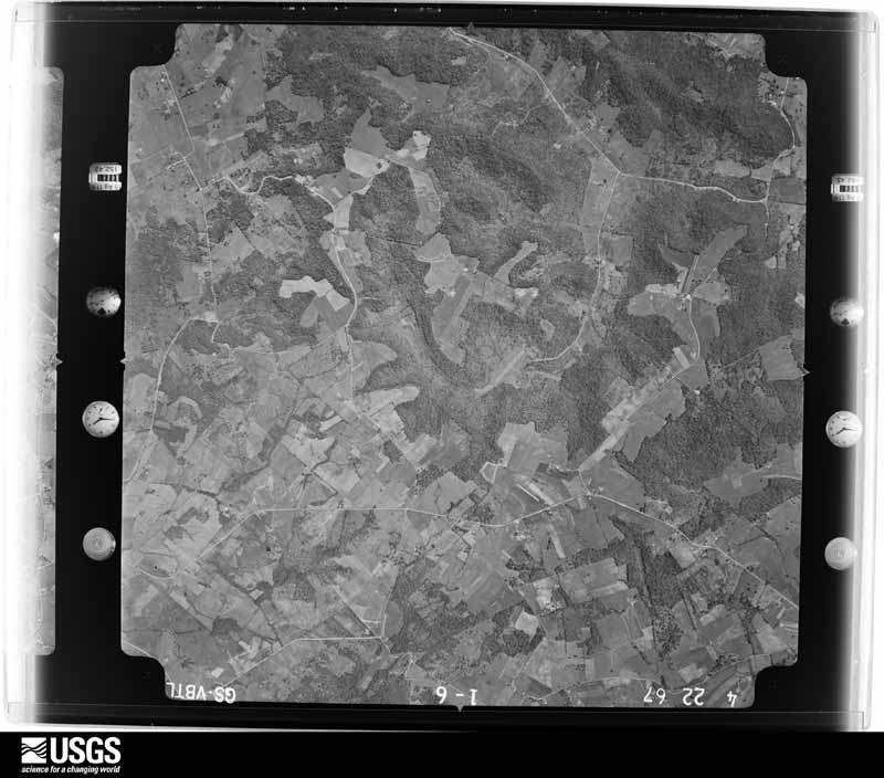
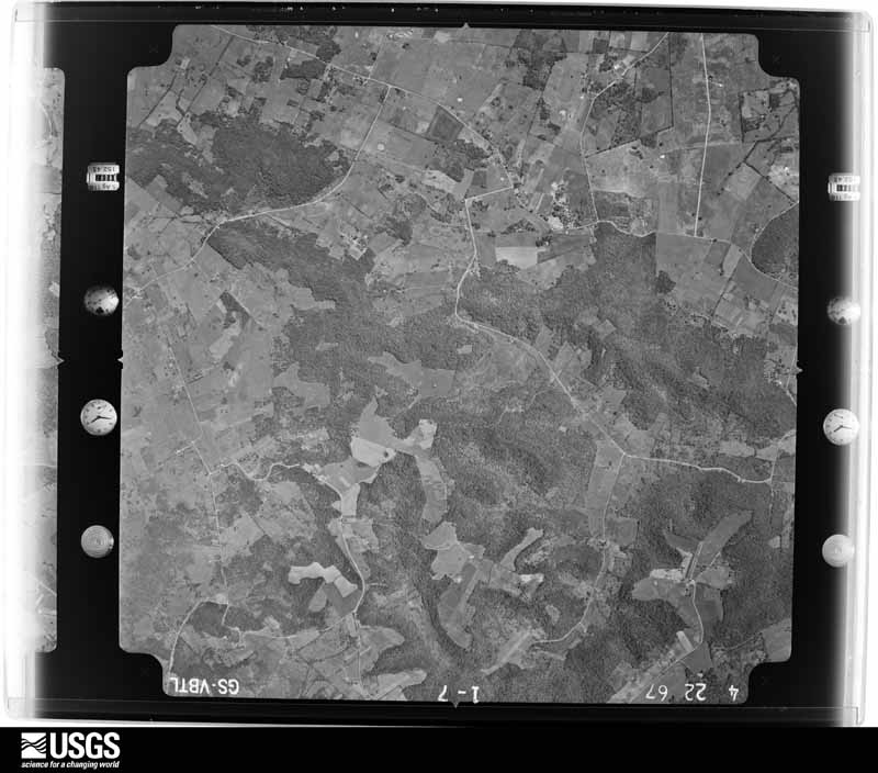


The thermometers that kept this county's weather, and the gages that measured the flow of its streams, as the federal records hold them. The extremes below are measured values from those records, not estimates.
Who lived here in 1950, one enumeration district at a time, as the Census Bureau described each district. Each row opens its official National Archives result, with Population Schedules and ED Maps available there.
Every wildfire the federal occurrence database records inside this county: 72 of them, burning about 838 acres. None started naturally and 4 were recorded as arson. Each settlement page carries the fires within five miles of it.
| Reported cause | Fires |
|---|---|
| Missing data/not specified/undetermined | 30 |
| Recreation and ceremony | 17 |
| Debris and open burning | 13 |
| Railroad operations and maintenance | 5 |
| Arson/incendiarism | 4 |
| Smoking | 3 |
The five largest, by the area the report gives. Three of them were set deliberately.
| Date | Cause | Size | Reported by | Name on the report |
|---|---|---|---|---|
| 19 November 1999 | Arson/incendiarism | 85 acres | Kentucky Division of Forestry | not named |
| 24 March 1997 | Arson/incendiarism | 80 acres | Kentucky Division of Forestry | not named |
| 17 September 2008 | Railroad operations and maintenance | 75 acres | Kentucky Division of Forestry | not named |
| 24 March 1997 | Arson/incendiarism | 70 acres | Kentucky Division of Forestry | not named |
| 22 March 2014 | Recreation and ceremony | 60 acres | Kentucky Division of Forestry | LOUISVILLE ROAD FIRE |
| 25 March 2007 | Missing data/not specified/undetermined | 43 acres | Kentucky Division of Forestry | not named |
| 28 August 1999 | Debris and open burning | 26 acres | Kentucky Division of Forestry | not named |
| 25 March 2004 | Missing data/not specified/undetermined | 25 acres | Kentucky Division of Forestry | not named |
Every settlement page carries the fires within five miles of it - see the settlement index below.
The NOAA Storm Events Database holds 586 reports for this county, causing 19 deaths, 120 injuries and about $520,652,300 in recorded property damage. Each settlement page carries the reports that name it.
| Kind of event | Reports |
|---|---|
| Thunderstorm Wind | 318 |
| Hail | 131 |
| Flash Flood | 55 |
| Flood | 42 |
| Tornado | 33 |
| Lightning | 4 |
| Funnel Cloud | 2 |
| Heavy Rain | 1 |
The most serious of them, by death, then injury, then recorded damage. The accounts are quoted exactly as the forecast office filed them.
| When | Event | Place named | Harm | What the report says |
|---|---|---|---|---|
| December 2021 | Tornado (EF3) | Petros | 16 killed, 63 hurt | The National Weather Service in Louisville surveyed a tornadic supercell over the course of 6 days in Warren County which directly struck Bowling Green. The tornado first touched down in rural southwestern Warren County just south of the intersection of Wimpee Smith Road and Petros Browning Rd. It tracked to the northeast for approximately 26 miles before entering Edmonson County. The tornado continued approximately 3.6 miles into Edmonson before dissipating at 0138 CST. At the tornado's beginning in Warren County, the tornado twisted, snapped, topped and uprooted softwood and hardwood trees. The tornado was about 200 yards wide, with EF1 winds of 90 mph. Aerial photography confirmed the tornado was continuous in this rugged area of southwest Warren County. The tornado increased to EF2, between 120 and 125 mph, doing major damage to several older barns along Tommy Smith Road. It threw a 1700 pound cattle trailer, 300 yards into a creek ravine.The NWS drone showed a distinct narrow main funnel within the larger funnel. This 30 to 35 yard funnel was clearly seen scouring the corn field and produced the most concentrated damage. The narrow funnel crossed Browning Rd and hit a well constructed house. The only major part of the house that survived was an interior bathroom and hallway. Winds were estimated at 135 mph, and areas outside the narrow funnel had damage of 100 mph, and the entire overall width was 250 yards wide. The survey team found extensive tree damage along Van Meter Rd and Fuqua Rd and aerial photography confirmed the tornado was continuous in this rugged, mainly forested area. The tornado did minor roof damage to some homes along Blue Level Road with winds of 86 to 90 mph but did more substantial roof and side damage to several barns with winds of 90 to 95 mph. Based on drone technology, there appeared to be two distinct areas of damage, and likely had a smaller satellite tornado. There was extensive roof damage to the Zomi Agape fellowship center with insulation thrown both downwind and on the upwind side of the building. The tornado increased in speed when it was over Old Tramm Rd by Rembrandt Court and Powell Road. One house on Rembrandt Court was knocked off its foundation by the garage attachment and slid about 15 feet. Other homes were knocked down to just interior bathrooms and hallways remaining, but there were some foundation construction concerns. EF2 winds of 130 to 135 mph were evidenced in this area. Several houses were knocked down to the foundation, but there were foundation construction concerns. In addition, farm equipment from a barn on the right side of Powell St was thrown directly into homes on the left side of Powell Rd. The survey team found significant house damage to dozens of homes in the Creekwood subdivision. This included exterior collapsed walls, roofs blown off, foundations severely compromised, garages blown in, insulation blown on all four sides of houses, and garages severely damaged or destroyed. In fact, they were dozens of double garages damaged, where one garage door blew in and the other garage door blew out. There were hundreds of powerlines and snapped power poles down throughout the county. Trees were uprooted snapped and twisted facing in all directions. Dozens of cars were flipped, twisted, turned, and thrown into homes. 2 x 4s were thrown into the ground, like missiles. Several splintered boards were impaled into vehicle windshields, tires, and along the hood grills. Most of the damage was rated EF2 from 115 to 135 mph except for 8 homes near Mossy Creek. The survey team brought in engineers from WKU to look at 8 homes, which were wiped down to the foundation from Moss Creek to Mossy Stone. Engineers helped in determining winds speeds were 160 mph for these houses, a high EF3 rating. Tragically, several fatalities occurred in the subdivision area. The tornado was 250 yards wide in Creekwood, but increased to about 350 yards wide before crossing Veterans Parkway. The tornado crossed the William Natcher Parkway and hit large townhouses along Veterans Parkway. There were numerous windows shattered and some roof damage. One of the town houses was shifted off the foundation, but there were no bricks or other support on it. The tornado crossed Russellville Rd hitting many businesses. At Royal Motor Cars, several storage buildings were destroyed, major loss of roof panels at Cabreras Mexican restaurant and an auto parts store. At Plumbers Supply company at 2321 Russellville Rd. The garage was blown in and collapsed. The main building had a shifted foundation, and a partial collapse of some exterior cinderblock walls, tractors and trailers were twisted and flipped, and there was numerous power poles snapped. The Shell gas station had major damage to service station canopy and store, as well as walls of an Enterprise car rental. The tornado increased to quarter mile wide and went from EF2 of 130 mph, from Royal Motorcars to AutoZone, and then decreased to EF2, 115-120 mph and narrowed to 1/8th of a mile with major tree and roof damage along Lealand Street, Cedar Ridge, and University Drive. A fully loaded dumpster was thrown 250 yards. At Russell Road and Springhill Avenue, a Marathon gas station had its pumps destroyed, and most of the exterior walls were destroyed. The tornado missed Western Kentucky University by 225 yards, but debris was thrown all over the campus including some impaled debris into buildings. The tornado went along 31W including doing significant damage to roof at Bobas lounge, a liquor store, and a smoke shop. This was estimated to be 110 to 120 mph winds, and tornado width decreased to 250 yards by Walgreens and Taco Bell. The tornado, appeared to be slightly elevated, doing mainly tree damage, power poles, and house roofing and siding along Magnolia Ave and Nutwood St. It crossed Lehman, went along Covington, with wind speeds mainly of 95 to 110 mph. The owner of 708 Nutwood said, your warning saved our lives, as our house was violently shaking, but we sought shelter and lived. Much of the tree damage was facing from the northeast to the northwest. The tornado paralleled Cemetery Rd doing roof and gutter damage along with power lines and tree damage. The tornadoes speed and winds increased along Cherokee Dr. with roofs removed and large healthy hardwood trees uprooted. The width increased to 300 yards and speeds to 105 mph with width of 225 yards. The narrow 175 yard funnel, hit the Indian Hills golf course, twisting, snapping, and topping numerous pines and cedars with winds speeds of 86 to 90 mph. The tornado then crossed the Barren River and increased in speed along Old Porter Pike to EF2, between 111 and 120 mph. Huge diameter hardwood trees were snapped and uprooted, including several very tall oak trees. There was also extensive roof damage to some well built homes. It weakened as it approached exit 28, doing EF1 damage of 90-95 mph to Hucks gas station and damaged a very tall Wendys sign. On the north side of 31 W, a fully loaded 18 wheeler facing west, was knocked over and was dragged 15 yards to a northwesterly directly. Winds were increased to EF2, of 115 mph. At the Corvette plant there was significant roof damage, with metal sheeting, insulation, HVAC units, and other debris thrown hundreds of yards downwind. Light poles in the parking lot were snapped, One of the security checkpoints at the Corvette plant was totally destroyed with large sections of the building being thrown several hundred yards, and weighing over 100 pounds, striking several vehicles. Winds were mainly in the 110 to 120 mph range. The tornado continued to parallel I 65, just west of the interstate. It struck several homes at Bristow Rd and Friendship Rd. Most of the damage was done to roofs siding and gutters and destroyed a well- built greenhouse. Numerous power poles and lines were down and the debris pattern was facing from southeasterly, all the way to northwesterly. There was some barn and tree damage near Kelly Road and the CSX railroad crossing. Winds were 85 to 90 mph and width of 200 yards. The tornado really increased across the TransPark at Exit 30. A few metal building structures at the peak intensity of the tornado sustained heavy damage. The middle building totally collapsed. Analysis showed that building was well constructed, but the shearing force from the intense tornado ripped the metal frame from the anchoring plates of the building. Analysis of the third building showed the tornado had weakened some at this point, down to EF2 levels. The WSR-8D radar showed a Tornadic Debris Signature downstream of this area, which was lofted to around 18 kft, right at the high end of EF3 of 165 mph. The tornado weakened further downstream as it caused roofing and siding damage to several structures and tree damage into southeast Edmonson County. Civil Air Patrol imagery helped identify the end point of this tornado. |
| April 1974 | Tornado (F3) | not stated | 2 killed, 45 hurt, $2,500,000 | no account filed |
| March 1997 | Flash Flood | Countywide | 1 killed | no account filed |
| August 1983 | Tornado (F1) | not stated | 6 hurt, $25,000 | no account filed |
| April 2008 | Thunderstorm Wind | Blue Level | 3 hurt, $50,000 | One mobile home shifted 15 to 20 feet off foundation. Other mobile homes flipped over or were destroyed in the Petros and Browning community where three injuries occurred. Many trees were also downed. |
| November 2000 | Thunderstorm Wind | Bowling Green | 1 hurt, $75,000 | A female was injured when the vehicle she was in was blown around by thunderstorm winds. |
| May 2010 | Lightning | (Bwg)Bowling Green A | 1 hurt | A 13-year old male was hit by lightning while standing next to a tree in the front yard of a friend. The boy's friend, who had gone briefly into his home, heard a loud clap of thunder, then immediately emerged to find the victim lying on the ground next to a tree where they were playing, with his hair singed. The friend and his 18-year old brother - an Eagle Scout - performed CPR until several neighbors, including a paramedic, came to assist. |
| April 2007 | Lightning | Bowling Green | 1 hurt | no account filed |
| April 1998 | Hail | Bowling Green | $510,000,000 | no account filed |
| March 1991 | Tornado (F2) | not stated | $2,500,000 | no account filed |
| May 2010 | Flood | Mt Victor | $750,000 | The Barren River at Bowling Green crested at 43.7 feet around 315 PM EST on May 3. Flood stage at Bowling Green is 28 feet. Moderate flooding occurs at this level, which is about 1.3 feet below the major flood stage. Several homes were flooded, the Beech Bend Racetrack was flooded, as were the approaches to the Kentucky 185 bridge. |
| November 2005 | Tornado (F1) | Woodburn | $500,000 | A supercell thunderstorm developed over northern Tennessee and moved into south central Kentucky during the early evening hours of November 15. It produced multiple, short-lived tornado touchdowns along its path, which stretched for nearly 25 miles across three counties. The third and final touchdown was in Warren County in the Woodburn area. The tornado was on the ground for approximately a mile, and did F1 damage to at least three businesses, six homes, and numerous barns and outbuildings. |
| January 2013 | Tornado (EF2) | Oakland | $400,000 | An EF-2 tornado touched down just to the east of Interstate 65 around 3 miles southwest of Smith's Grove. After damaging several outbuildings, it encountered a set of 4 grain silos just to the south of Glasgow Road. It destroyed all 4 silos and threw their remains several hundred yards to the east. The tornado stayed on the ground for 3 miles, eventually crossing Interstate 65 just south of Smith's Grove. This tornado overturned a semi-trailer on the interstate. Before lifting up just to the east of Smith's Grove, it destroyed an older wooden barn and a large well constructed dairy barn, ripping steel I-beams out of their concrete base, scattering its roof, and collapsing its southern and eastern cinder block walls. |
| May 1995 | Tornado (F2) | Bowling Green | $303,000 | An F2 tornado was intermittently on the ground over a one and one-half mile length. Numerous homes and businesses were damaged or destroyed on the north side of Bowling Green. |
| February 2018 | Tornado (EF1) | Hays | $250,000 | The tornado touched down near the intersection of Hays Pondsville Rd and FH Roundtree Rd, destroying a small metal shed, overturning a trailer, flattening a fence, and causing minor roof damage to a home. The very narrow tornado - only 30 to 50 yards wide - continued northeast, uprooting trees and damaging outbuildings on neighboring property, including breaking out all of the windows of one building. The path continued northeast over open countryside, snapping tree limbs of several trees. It then tore the porch off the east side of a home on the south side of Highway 68-80, depositing debris into nearby woods. ||Crossing 68-80, the tornado did its greatest damage, tearing a very large pine tree out of the ground and tossing it 100 feet over a home, spattering the front of the home with mud, ripping holes in the roof, and destroying the attached garage. Despite this intense damage, an open-sided outbuilding just 25 yards away suffered no visible damage. Continuing northeast, the tornado snapped several more trees before destroying two more outbuildings, scattering debris a quarter of a mile downwind. The tornado also damaged the roof of a home 100 feet east of the outbuildings, and did porch, deck, and roof damage to the neighboring residence, plastering the east side of the home with insulation. Crossing over Lewis Rd into Barren County, the roof of a sunroom was torn of the next home and an outbuilding destroyed. The tornado then moved over open countryside where drone footage showed it deposited the remainder of its debris. The total path length of the tornado in both counties was 1.9 miles. |
| March 2017 | Tornado (EF1) | Motley | $250,000 | The NWS in conjunction with Warren County Emergency Management determined a high end EF-1 tornado touched down in southeastern Warren County, east of I-65 near Claypool community. Several structures, residences, and barns saw extensive damage along Cemetery Rd and Martinsville Ford Road. The tornado tracked for approximately 3 miles, was 125 yards at its widest point, and had peak estimated wind speed of 110 mph. |
| July 1984 | Tornado (F1) | not stated | $250,000 | no account filed |
| March 2020 | Tornado (EF2) | Alvaton | $200,000 | Most of the damage was around the southeastern portion of the Alvaton community, east of Bowling Green. Several trees were either uprooted or pushed over, facing from the west-southwest to the east-northeast just west of Highway 231 on Fairview Road. The wind swath was about 200 yards wide. Just east of Highway 231 a large 40 x 60 storage barn for a camper had its roof partially lifted downwind to the east northeast. The metal siding was flung up to 150 yards into the trees. The tree damage continued along Alvaton- Scottsville Road into Marble Gate Ct. Several homes sustained roof damage, with several porches partially lifted up causing structural damage. One home on Marble Gate Court had four 20-pound steel chairs flung about 50 yards and the 35-pound table thrown 25 yards. Portions of the porch covering were blown 125 yards into the yard of their next-door neighbors yard, 2 of which punctured the house like a flying 2 by 4 missile. There were also portions of the deck impaled in the ground. The damage swatch then increased to about 225 yards and winds increased to 80 to 85 mph. There were at least three trees laying on homes.||Just east off Claypool Boyce Road... there was a distinct change in the tree pattern. Instead of just going to the northeast trees were now going to the northwest, north and northeast. A large 2 x 8 went flying and got wedged between the windshield wiper and the windshield but incredibly did not crack the windshield. This is where a small tornado formed within the straight-line wind path, with winds between 80 and 85 mph. Residents reported half inch hail, followed by a surge in lightning, then quiet, then a 20 second loud roar with popping in their ears followed by complete silence again. Further east in the 500 block of Kara Court, there was significant tree damage with the back of the house being uplifted and insulation being thrown upwind and downwind around the back of the house. Trees were laying in all directions with lots of twisting and many snapped trees. At the 200 block of Cross Creek Court, the clearest evidence of trees are facing all eight inter-cardinal headings. In this area, trees were snapped and uprooted all over the place. ||The survey team estimated well over 500 trees in a 1 mile stretch had been uprooted snapped or pushed over. Two of the snapped trees landed on pick up trucks. Winds increased to EF1 range of 95 mph and a width of 225 yards. At the 2400 block of WG Talley Road was the most significant damage of the entire survey. Three barns were destroyed, 2 of them were concreted in strong firm footers. One of the barns was 30 x 80, one was 150 x 100, and one was 12 x 16 along with numerous sheds destroyed, and debris was thrown in all directions downwind up to 500 yards. A 5000 pound horse trailer was thrown to the northwest 70 yards. ||A very well-built family residence took a direct hit from an EF2 tornado, with the front side of the home having the plywood exposed and with most of the shingles gone but the rest of the house fully intact due to the house having all the proper clips, braces, and rebar. Wind speeds at this point were 116 mph with a width of 250 yards. EF-1 Tree damage continued into Allen County along Allen Springs Road. The tornado lifted just north of Bailey School Road in far NW Allen County. |
| January 2008 | Thunderstorm Wind | Memphis Jct | $200,000 | Thunderstorm winds caused structural damage to several homes at the Hidden River Estates off Elrod Road. The roof was blown off one home, and several other homes had extensive roof damage. |
| May 1995 | Tornado (F2) | Bowling-Green | $140,000 | An F2 tornado was intermittently on the ground over a two and one-half mile length. Several homes and businesses were damaged or destroyed. |
| July 2019 | Lightning | Three Spgs | $100,000 | Lightning caused a structure fire on the 400 block of Cambridge Grove Circle. |
| May 2018 | Lightning | Memphis Jct | $100,000 | There was an apartment building damaged by a lightning strike. |
| March 2017 | Thunderstorm Wind | Bowling Green | $100,000 | Local broadcast media reported that multiple structures were damaged on Cemetery Road. |
| April 1998 | Tornado (F1) | Bowling Green | $100,000 | no account filed |
| May 1995 | Tornado (F2) | Bowling-Green | $80,000 | An F2 tornado was intermittently on the ground over a five mile length. Several homes and businesses were damaged or destroyed. |
| March 2017 | Thunderstorm Wind | Claypool | $75,000 | The public reported that severe thunderstorm winds snapped and uprooted several mature trees which blocked Martinsville Ford Road, and damaged a wooden fence. There were also several outbuildings damaged. |
| May 1995 | Hail | Countywide | $75,000 | Numerous reports of golf ball-size hail were received from across the county. |
| May 1995 | Hail | Bowling Green | $75,000 | no account filed |
| May 1995 | Hail | Rich Pond | $75,000 | no account filed |
| May 1995 | Hail | Bowling Green | $75,000 | no account filed |
| May 1995 | Hail | Countywide | $75,000 | no account filed |
| January 1999 | Thunderstorm Wind | Bowling Green | $60,000 | 55 homes, 12 barns damaged, trees down, some trees on cars, numerous mobile homes blown over |
| March 2017 | Thunderstorm Wind | Rockfield | $50,000 | Local broadcast media reported severe thunderstorm winds destroyed a barn. |
| March 2017 | Thunderstorm Wind | Oakland | $50,000 | Multiple structures were damaged due to severe thunderstorm winds. |
| March 2017 | Thunderstorm Wind | Three Forks | $50,000 | The public reported multiple structures damaged near 292 Martinsville Road due to severe thunderstorm winds. |
| March 2012 | Tornado (EF1) | Alvaton | $50,000 | A supercell thunderstorm that earlier caused straight line wind damage to Simpson County brought golf ball sized hail that penetrated siding on numerous houses near Alvaton. A tornado touched down just east of Alvaton along State Highway 961. It destroyed a barn and tool shed along a one half mile track just along the north side of State Highway 961. |
| July 2012 | Thunderstorm Wind | (Bwg)Bowling Green A | $50,000 | A downburst flipped and damaged a light weight plane at the Bowling Green Airport. Several trees were reported down in the vicinity. The ASOS instrument at the airport measured a gust of 46 mph. |
| March 2006 | Thunderstorm Wind | Bowling Green | $50,000 | Roof damage was reported in the Stonehenge Apartment complex. Trees and power lines were downed throughout the city. |
| February 1993 | Thunderstorm Wind | not stated | $50,000 | A tobacco barn warehouse was damaged by thunderstorms in Bowling Green. Gutters, awnings, and roofs were also damaged. Several trees were blown down and power poles were damaged. |
| October 2010 | Tornado (EF1) | Mt Victor | $40,000 | A NWS storm survey team confirmed an EF-1 tornado in Warren county. The tornado touched down 3.2 miles southeast of Bowling Green at 11:08 am CDT and lifted 4.5 miles east-southeast of Bowling Green at 11:11 am CDT. Peak winds were around 90 mph with a path width of 60 yards. A tree was uprooted at the beginning of the path with a home damaged along Cemetery Rd. The tornado intensified as it progressed northeast, with a barn destroyed near the end of its track. |
| March 2020 | Thunderstorm Wind | Alvaton | $30,000 | Multiple trees were reported down, and there was significant roof damage to two homes. |
| April 2017 | Thunderstorm Wind | Smiths Grove | $30,000 | A trained spotter reported that a home sustained roof damage and a camper was overturned along Highway 31W near KY 101 due to severe thunderstorm winds. |
| July 2011 | Thunderstorm Wind | Bowling Green | $30,000 | Strong winds associated with a thunderstorm overturned two small planes at the Bowling Green-Warren County Regional Airport. |
| January 2008 | Thunderstorm Wind | Greenwood | $30,000 | Thunderstorm winds blew a tree on to a house on Browning Street. |
| February 2018 | Thunderstorm Wind | Bowling Green | $25,000 | The public reported trees down on power lines near the corner of Cabell Drive and Chestnut Street. |
| March 2017 | Thunderstorm Wind | Rockfield | $25,000 | The public reported that severe thunderstorm winds flattened a barn. |
| March 2017 | Thunderstorm Wind | Claypool | $25,000 | The public reported trees down and houses damaged on Jack Johnson Road due to severe thunderstorm winds. |
| April 2017 | Thunderstorm Wind | Mt Victor | $25,000 | A homeowner reported significant roof damage due to severe thunderstorm winds. |
| November 2016 | Thunderstorm Wind | Bowling Green | $25,000 | Local law enforcement reported trees and tree limbs down across town due to strong thunderstorm winds. There were several power lines down as well according to utility companies. |
| May 2003 | Thunderstorm Wind | Richardsville | $25,000 | A tree was uprooted and crushed two cars. |
| August 2003 | Thunderstorm Wind | Bowling Green | $25,000 | Trees and power lines were downed. One large tree was blown on to a home. |
| November 2000 | Thunderstorm Wind | Bowling Green | $25,000 | no account filed |
| May 1995 | Hail | Bowling Green | $25,000 | no account filed |
| May 1968 | Tornado (F2) | not stated | $25,000 | no account filed |
| July 2020 | Flood | Bowling Green | $20,000 | Two vehicles were in high water at Adams Street and Veterans Memorial Lane. |
| June 2019 | Thunderstorm Wind | Bowling Green | $20,000 | A tree and power lines came down along the 400 block of West 12th Avenue. |
| July 2018 | Thunderstorm Wind | Memphis Jct | $20,000 | A tree blew down on a power line at Shawnee Estates in Bowling Green. |
| April 2017 | Thunderstorm Wind | Anna | $20,000 | Trained spotters reported power lines down due to severe thunderstorm winds. |
| July 2016 | Thunderstorm Wind | Anna | $20,000 | The public reported metal siding and a roof blown off a building near Anna. |
| July 2016 | Thunderstorm Wind | Barren River | $20,000 | Local law enforcement reported a barn fully engulfed in flames due to severe thunderstorm winds. |
The Survey's mineral resources record lists 4 workings inside this county. 2 still produce and 2 are closed or unrecorded. Each settlement page carries the workings within five miles of it.
| Commodity | Workings |
|---|---|
| Stone, Crushed/Broken | 4 |
The least common of them first, because a county's hundredth gravel pit says nothing its first ten did not.
| Where | Site | Commodity | Status | Recorded |
|---|---|---|---|---|
| Bowling Green Quarry | Stone, Crushed/Broken | Producer | ||
| Bowling Green Quarry | Stone, Crushed/Broken | Past Producer | ||
| Gary Brothers Quarry | Stone, Crushed/Broken | Producer | ||
| Smith Grove No. 3 Quarry | Stone, Crushed/Broken | Past Producer |
Named settlements recorded in the Geographic Names Information System, each with the topographic sheets covering it. Villages, hamlets and abandoned places alike. Each is shown with the nearest named watercourse or landform and the survey quadrangle it falls on. The 1 place that was also surveyed for fire insurance comes first, with the number of atlases and photographs held for them.
Bowling Green census division · 42101 · Near Reservoir Hill · Bowling Green South quadrangle
16 sheets, 1921 to 1993
Fire insurance: 9 atlases
Alvaton census division · 42122 · On Trammel Creek · Allen Springs quadrangle
13 sheets, 1921 to 1985
Smiths Grove census division · 42171 · Near Smiths Grove Knob · Smiths Grove quadrangle
24 sheets, 1922 to 1981
No longer a settlement
Sand Hill-Girkin census division · 42101 · Bowling Green North quadrangle
15 sheets, 1922 to 1993
Greencastle census division · 42101 · Near Snowbirds Point · Hadley quadrangle
13 sheets, 1914 to 1981
Bowling Green census division · 42103 · Near Reservoir Hill · Bowling Green South quadrangle
16 sheets, 1921 to 1993
Hadley-Browning census division · 42101 · Near Sprouse Ridge · Riverside quadrangle
14 sheets, 1914 to 1981
Alvaton census division · 42103 · By Cheechako Ridge · Meador quadrangle
9 sheets, 1926 to 1985
Smiths Grove census division · 42103 · On Drakes Creek · Polkville quadrangle
13 sheets, 1921 to 1985
No longer a settlement
Bowling Green census division · 42101 · Bowling Green South quadrangle
16 sheets, 1921 to 1993
Bowling Green census division · 42101 · Near Wilkerson Island · Bowling Green North quadrangle
15 sheets, 1922 to 1993
Alvaton census division · 42122 · On Middle Fork Drakes Creek · Drake quadrangle
14 sheets, 1921 to 1985
Bowling Green census division · 42104 · Bowling Green South quadrangle
16 sheets, 1921 to 1993
Sand Hill-Girkin census division · 42101 · On Clay Lick · Reedyville quadrangle
14 sheets, 1922 to 1981
Greencastle census division · 42101 · On Taylor Branch · Bowling Green North quadrangle
15 sheets, 1922 to 1993
Bowling Green census division · 42103 · Bowling Green South quadrangle
16 sheets, 1921 to 1993
Hadley-Browning census division · 42101 · Near Flippo Hill · Hadley quadrangle
13 sheets, 1914 to 1981
Hadley-Browning census division · 42101 · On Belcher Creek · Hadley quadrangle
13 sheets, 1914 to 1981
Smiths Grove census division · 42171 · On Sinking Branch · Smiths Grove quadrangle
24 sheets, 1922 to 1981
Bowling Green census division · 42103 · Bowling Green South quadrangle
16 sheets, 1921 to 1993
Smiths Grove census division · 42159 · Near High Point · Smiths Grove quadrangle
24 sheets, 1922 to 1981
No longer a settlement
Bowling Green census division · 42101 · Bowling Green South quadrangle
16 sheets, 1921 to 1993
Smiths Grove census division · 42159 · On Bays Fork · Meador quadrangle
9 sheets, 1926 to 1985
Bowling Green census division · 42101 · Bowling Green South quadrangle
16 sheets, 1921 to 1993
Bowling Green census division · 42103 · Bowling Green South quadrangle
16 sheets, 1921 to 1993
Greencastle census division · 42101 · Near Little Barn Knob · Riverside quadrangle
14 sheets, 1914 to 1981
No longer a settlement
Bowling Green census division · 42103 · On Drakes Creek · Bowling Green South quadrangle
16 sheets, 1921 to 1993
Smiths Grove census division · 42159 · Near Smiths Grove Knob · Smiths Grove quadrangle
24 sheets, 1922 to 1981
Bowling Green census division · 42104 · Bowling Green South quadrangle
16 sheets, 1921 to 1993
No longer a settlement
Woodburn census division · 42104 · On West Fork Drakes Creek · Drake quadrangle
14 sheets, 1921 to 1985
No longer a settlement
Woodburn census division · 42170 · Woodburn quadrangle
9 sheets, 1951 to 1985
No longer a settlement
Sand Hill-Girkin census division · 42101 · Bristow quadrangle
15 sheets, 1922 to 1981
No longer a settlement
Woodburn census division · 42170 · Woodburn quadrangle
9 sheets, 1951 to 1985
No longer a settlement
Bowling Green census division · 42101 · Near Unbanar Island · Bowling Green North quadrangle
15 sheets, 1922 to 1993
Smiths Grove census division · 42171 · On Sinking Creek · Meador quadrangle
9 sheets, 1926 to 1985
Bowling Green census division · 42101 · On Rays Branch · Bowling Green North quadrangle
15 sheets, 1922 to 1993
No longer a settlement
Greencastle census division · 42101 · Bowling Green North quadrangle
15 sheets, 1922 to 1993
Greencastle census division · 42101 · On Long Branch · Riverside quadrangle
14 sheets, 1914 to 1981
Hadley-Browning census division · 42101 · Near Sallys Rock · Hadley quadrangle
13 sheets, 1914 to 1981
Sand Hill-Girkin census division · 42101 · Bowling Green North quadrangle
15 sheets, 1922 to 1993
Bowling Green census division · 42104 · Bowling Green South quadrangle
16 sheets, 1921 to 1993
Smiths Grove census division · 42101 · Bristow quadrangle
15 sheets, 1922 to 1981
No longer a settlement
Smiths Grove census division · 42171 · Near Little Knob · Smiths Grove quadrangle
24 sheets, 1922 to 1981
Bowling Green census division · 42101 · Bowling Green South quadrangle
16 sheets, 1921 to 1993
Smiths Grove census division · 42171 · Near Pilot Knob · Smiths Grove quadrangle
24 sheets, 1922 to 1981
No longer a settlement
Bowling Green census division · 42104 · Bowling Green South quadrangle
16 sheets, 1921 to 1993
Alvaton census division · 42104 · On West Fork Drakes Creek · Drake quadrangle
14 sheets, 1921 to 1985
No longer a settlement
Alvaton census division · 42103 · Bowling Green South quadrangle
16 sheets, 1921 to 1993
No longer a settlement
The vanished settlements of Warren County: the places named above that are no longer on the map.
16 topographic sheets and 9 fire insurance atlases, 1886 to 1948
The complete index, with nothing left out. Each of these is a separate record with its own page: a federal survey report, or the case file that argued a property on to the National Register. Both are public domain and reproduced word for word.
The vanished settlements of Warren County, the places these records name that are no longer on the map.