 Block
Amos, Kentucky
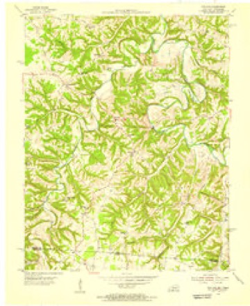
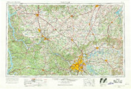
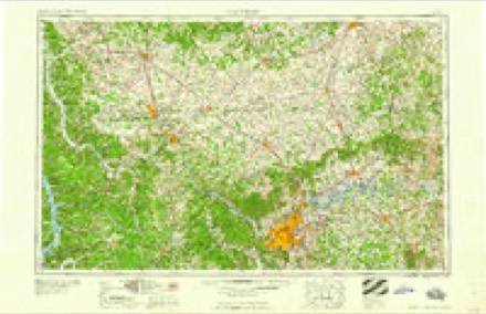
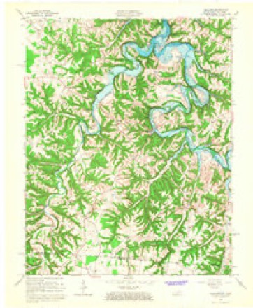
10 topographic sheets cover this place, the earliest surveyed in 1931 and the latest in 1985. It stands in the Holland census division. It lies in ZIP code area 42164. It stands on Doddy Branch. The Survey maps it on the Holland quadrangle.
Topographic sheets covering this place
6 surveys from 10 printed sheetsMatched by testing this settlement's coordinate against the published boundary of every sheet in the United States Geological Survey's historical collection. Each opens the scanned sheet at the Survey.
- 1931 USGS Lafayette quadrangle1:62500, 2 printings
- 1954 USGS Holland quadrangle1:24000
- 1956 USGS Nashville quadrangle1:250000, 2 printings
- 1959 USGS Nashville quadrangle1:250000
- 1965 USGS Holland quadrangle1:24000
- 1985 USGS Bowling Green quadrangle1:100000, 3 printings

Fires near this place
8 since 1999Regional context, not property-specific evidence. The federal wildfire occurrence database lists 8 fires within 5 miles of Amos between 1999 and 2016, burning about 36 acres in total. None started naturally. 5 were recorded as arson. Distance is straight-line from the map coordinates, so a fire counted here may appear on a neighbouring settlement's page as well.
| Reported cause | Fires |
|---|---|
| Arson/incendiarism | 5 |
| Debris and open burning | 2 |
| Smoking | 1 |
The most recent of them, most recent first, with the day each was reported and the service that recorded it.
| Date | Cause | Size | Reported by | Name on the report |
|---|---|---|---|---|
| 20 April 2016 | Debris and open burning | 4.6 acres | Tennessee Division of Forestry | OAK KNOB FIRE |
| 21 March 1999 | Debris and open burning | 3.0 acres | Tennessee Division of Forestry | not named |
| 20 March 2009 | Arson/incendiarism | 5.2 acres | Tennessee Division of Forestry | GREEN VALLEY |
| 18 March 2005 | Arson/incendiarism | 4.0 acres | Tennessee Division of Forestry | not named |
| 17 December 2006 | Arson/incendiarism | 7.1 acres | Tennessee Division of Forestry | not named |
| 5 November 2005 | Arson/incendiarism | 4.0 acres | Tennessee Division of Forestry | not named |
| 19 November 1999 | Arson/incendiarism | 6.8 acres | Tennessee Division of Forestry | not named |
| 24 October 1999 | Smoking | 1.0 acres | Kentucky Division of Forestry | not named |
Settlements close enough to share some of these fires:
Mines and quarries near this place
1 within 5 milesRegional context, not property-specific evidence. The federal mineral resources record lists 1 working within 5 miles of Amos: 1 occurrence. None of them still produces. What was taken out: Uranium, Oil Shale. Distance is straight-line from the map coordinates, so a quarry counted here may appear on a neighbouring settlement's page as well.
| Where | Site | Commodity | Status | Recorded |
|---|---|---|---|---|
| Outcrop Sample For Uranium | Uranium, Oil Shale | Occurrence |
Storms near this place
4 since 2000Regional context, not property-specific evidence. The National Weather Service names Amos in 4 storm reports between 2000 and 2019: 2 tornado, 1 thunderstorm wind, 1 hail. The reports record 4 deaths and 11 injuries. Each account below is quoted exactly as the forecast office filed it, from the NOAA Storm Events Database, and each date opens the federal record of that event.
| When | Event | Place named | Harm | What the report says |
|---|---|---|---|---|
| February 2008 | Tornado (EF3) | Amos | 4 killed, 11 hurt, $1,250,000 | The tornado destroyed 12 homes and mobile homes, mainly in the Amos community and in the Tracy Lane area. Many other homes and buildings were damaged. Four people were killed in the Tracy Lane area, and eleven others were injured in southeast Allen County. The tornado continued through rural and wooded sections of eastern Allen County, and crossed into Monroe County, Kentucky near the town of Fountain Run. |
| June 2019 | Tornado (EF1) | Amos | $300,000 | The National Weather Service conducted a storm damage survey across southeast Allen County to assess damage from the storms on Friday Evening, June 21. There was a significant amount of straight line wind damage across southern Allen County. Most of this damage had wind speeds between 60-65 mph all facing east southeast direction. There were two significant areas of straight line wind damage. There was a barn north of Amos on Highway 99. The second was two large barns just north of Hayesville, TN. ||Interspersed among the straight line wind damage was a tornado which first touched down a half mile east of Amos. A family farm had numerous trees twisted, snapped, and uprooted. Several barns sustained severe structural damage to the roofs. A dozen or so portions of two by fours were impaled into the ground in multiple directions. ||Further southeast on Highland Church Road numerous trees were uprooted and snapped with trees facing from the north northeast to the southeast direction. There was clear evidence that the tornado went to the Tennessee state line in Macon County as we could see trees snapped and uprooted on the state line which correlates well with the NWS Nashville storm survey across the Macon County line. ||At 2592 Highland Church Road (Highland General Baptist Church) there was significant brick damage on the west, south, and east sides of the church due to open vents. The survey crew zig zagged across roads south of Scottsville to Highway 31 but only found sporadic straight line tree and barn damage all facing a southeasterly direction. ||The very last concentrated area of damage the team found was at 444 Old Buck Creek Road were there was numerous softwood tree damage at the residence with power poles down across the road. |
| March 2002 | Hail | Amos | - | no account filed |
| July 2000 | Thunderstorm Wind | Amos | - | no account filed |
Nearest settlements
The eight closest, with where each one stands in the county. Distances are straight-line, computed from the Geographic Names Information System coordinates.
| Map | Place | Distance | Sheets |
|---|---|---|---|
| Mount Zion | 2.7 miles | 10 | |
| Mount Union (historical) | 3.0 miles | 12 | |
| Holland | 3.4 miles | 10 | |
| Forest Springs | 3.9 miles | 12 | |
| Oak Forest | 4.4 miles | 10 | |
| Walnut Hill | 5.4 miles | 10 | |
| Walnut Grove | 7.2 miles | 12 | |
| Maynard | 8.1 miles | 12 |
Provenance
This settlement is recorded in the Geographic Names Information System as feature 485927. The sheet list is computed by point-in-boundary test against the United States Geological Survey's historical topographic inventory. Both are works of the United States government and carry no copyright under 17 U.S.C. 105.
Wildfire. Short, Karen C. 2022. Spatial wildfire occurrence data for the United States, 1992-2020 [FPA_FOD_20221014]. 6th Edition. Fort Collins, CO: Forest Service Research Data Archive. https://doi.org/10.2737/RDS-2013-0009.6 Collected with United States Government funding and usable without additional permissions or fees.
Mines and quarries. USGS Mineral Resources Data System (MRDS) https://mrdata.usgs.gov/mrds/ A work of the United States government, no copyright under 17 U.S.C. 105.
Storms. NOAA National Centers for Environmental Information, Storm Events Database https://www.ncei.noaa.gov/stormevents/ A work of the United States government, no copyright under 17 U.S.C. 105. Narratives are quoted verbatim from the National Weather Service report and are not edited or summarised.