 Block
Ashville, Kentucky
17 topographic sheets cover this place, the earliest surveyed in 1907 and the latest in 1986. It stands in the South Jefferson census division. It lies in ZIP code area 40291. It stands on Little Cedar Creek. The Survey maps it on the Jeffersontown quadrangle.
On record in Ashville
Buildings and businesses the archive holds for this place. Each opens its own page, with the source record it came from.
On the National Register within a mile 2 records
The National Register names another town for these. They stand within one mile of this settlement's coordinate.
- Levin Bates Houselisted 1980 · 0.5 miles away
- Snapp Houselisted 1980 · 0.5 miles away
Topographic sheets covering this place
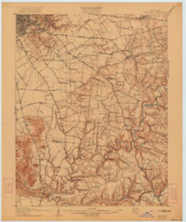
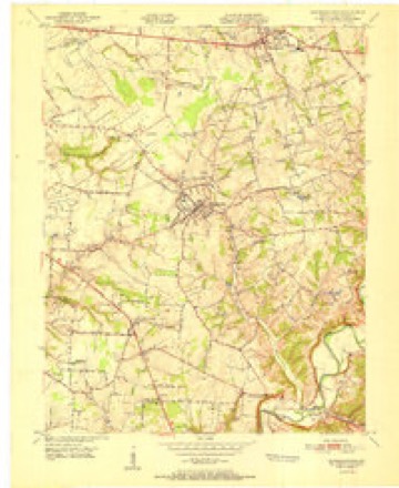
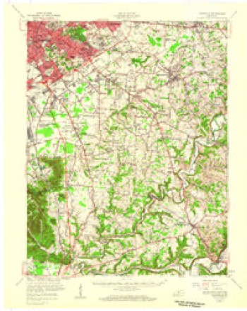
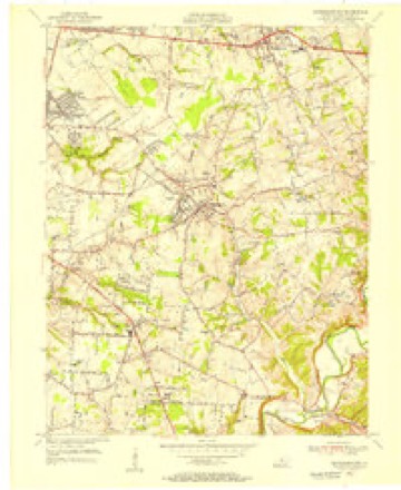
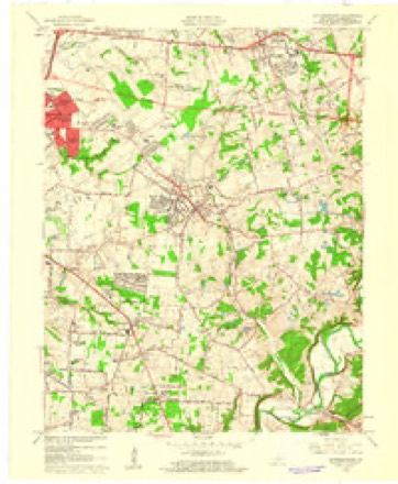
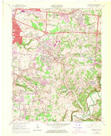
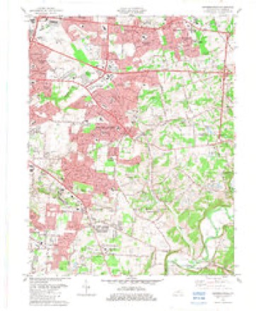
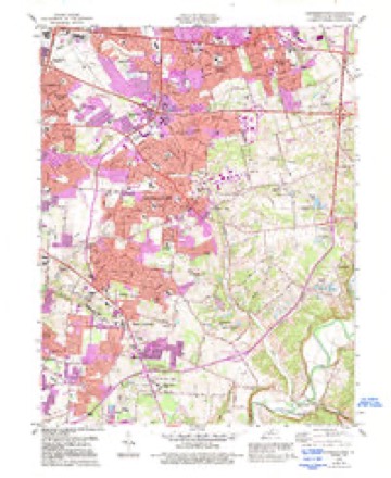
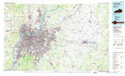
11 surveys from 17 printed sheetsMatched by testing this settlement's coordinate against the published boundary of every sheet in the United States Geological Survey's historical collection. Each opens the scanned sheet at the Survey.
- 1907 USGS Louisville quadrangle1:62500, 3 printings
- 1951 USGS Jeffersontown quadrangle1:24000
- 1951 USGS Louisville quadrangle1:62500
- 1955 USGS Jeffersontown quadrangle1:24000
- 1956 USGS Louisville quadrangle1:250000, 2 printings
- 1960 USGS Jeffersontown quadrangle1:24000
- 1964 USGS Jeffersontown quadrangle1:24000, 2 printings
- 1964 USGS Louisville quadrangle1:250000
- 1982 USGS Jeffersontown quadrangle1:24000
- 1984 USGS Jeffersontown quadrangle1:24000, 2 printings
- 1986 USGS Louisville quadrangle1:100000, 2 printings


Fires near this place
2 since 2001Regional context, not property-specific evidence. The federal wildfire occurrence database lists 2 fires within 5 miles of Ashville between 2001 and 2014, burning about 11 acres in total. None started naturally. None was recorded as arson. Distance is straight-line from the map coordinates, so a fire counted here may appear on a neighbouring settlement's page as well.
| Reported cause | Fires |
|---|---|
| Missing data/not specified/undetermined | 1 |
| Debris and open burning | 1 |
The most recent of them, most recent first, with the day each was reported and the service that recorded it.
| Date | Cause | Size | Reported by | Name on the report |
|---|---|---|---|---|
| 14 March 2014 | Missing data/not specified/undetermined | 10 acres | Kentucky Division of Forestry | BROAD RUN |
| 3 October 2001 | Debris and open burning | 1.0 acres | Kentucky Division of Forestry | not named |
Settlements close enough to share some of these fires:
Storms near this place
5 since 2010Regional context, not property-specific evidence. The National Weather Service names Ashville in 5 storm reports between 2010 and 2024: 3 hail, 1 thunderstorm wind, 1 tornado. No death or injury is recorded in these reports. Each account below is quoted exactly as the forecast office filed it, from the NOAA Storm Events Database, and each date opens the federal record of that event.
| When | Event | Place named | Harm | What the report says |
|---|---|---|---|---|
| June 2023 | Hail | Ashville | - | Quarter sized hail was observed along Bardstown Road south of Fern Creek. |
| April 2022 | Tornado (EF1) | Ashville | - | A concentrated area of intense straight-line winds developed in the Okolona area, with the National Weather Service office anemometer measuring 72 mph. Part of the NWS security fence was knocked down, and some large limbs were knocked down off the Smyrna Road exit towards McNeely Lake Park. Several trees fell down in the Hillview area near the Bullitt County line. All of the trees were facing from the west southwest to the east northeasterly direction.||The tornado initially touched down just east of Beulah Church Rd, near Adams Run Road which is just south of I-265. Trees were facing from the northeast through the southeast primarily in a 100 yard swath with a lot of straight line winds surrounding the 80 mph twister. Two barns sustained roof panel damage.||The tornado became very intermittent along Cedar Creek Road to Gentry Lane with tops of pine and cedar trees sheared off and with shingle and sporadic roof damage on some homes. Winds were 75 to 80 mph in this area.||The tornado increased to EF1 in the Glenmary Reserves subdivision. The tornado drone video showing a distinct swirl in the trees from the north through the southeasterly directions. Trees were snapped, uprooted, and laying on top of power lines. Winds were around 90 mph in this area, with a width of 150 yards. There was extensive shingle damage, gutter damage, flashing, at several homes. The tornado increased in width to 175 yards and speed along Providence Road. There was more extensive damage to the roofing structures of several homes. One house in particular had wind enter its roof soffit, blowing building material out the western side. The house insulation was thrown around three sides of the home. Wind speeds in this area were estimated to be 97 mph with a width of 125 yards. A Ford Ranger, parked in another driveway was picked up and slid 11 yards, with house insulation on three sides of the truck.||There were several road signs twisted and mangled too. The tornado continued towards the entrance of the Glenmary Reserves subdivision off Bardstown Road. There was extensive tree damage, especially cedars and pines, facing from the north-northeast, through the southeasterly direction. Trees were uprooted, snapped, and slightly sheared off. The 88-D radar showed a distinct debris ball in the area we found the tornado.||The tornado crossed Bardstown Road striking at least two vehicles, thankfully there were no injuries. The tornado continued in the Glenmary subdivision with numerous homes having shingle and roof damamge along with plenty of trees down. One home in particular had the 85-90 mph wind get in through the attached garage. This caused a massive structural failure in the roofing structure, with roof decking and insulation thrown up into the trees from a northerly to a southeasterly direction. Insulation was thrown around three sides of the house.||The owner of the house described intense ear pressure when the tornado went over his house.The tornado weakened by the far eastern part of the Glenmary subdivision lifted at that point. There was still one and two story home damage. Most of the damage to the homes was related to shingle, flashing, and siding. Winds were generally around 80 mph. Wind speeds, along the sporadic tree damage, at the end point were 75 mph by Hidden Valley Way with a width of 100 yards.||South Louisville (Big Run Creek to Turkey Run Park)...||Very sporadic tree damage was found with drones and binoculars around the park. Park Rangers took us through the park and it was very hard to find more than isolated damage points here and there. Winds were EFO with winds in the 75-80 mph range.||The tornado really became more distinct on the eastern entrance of Turkey Run Park and especially along Echo Trail Road. At 7401 Echo Trail numerous trees were topped, sheared off, and twisted, and facing from north northeast to east southeast. Winds were 80 to 85 mph in this area. Shingle and gutter damage was noted along Echo Trail and then it headed into the hilly rugged area of Echo Trail Rd and Hickory Valley Road. Larger hardwood trees were snapped and uprooted, an outbuilding lost its roof and 2 deer stands were destroyed. Wind in this area were 90 mph EF1 with a width of 75 yards. Residents heard a distinct freight train sound and ears were popping. |
| August 2010 | Thunderstorm Wind | Ashville | - | A tree was blown down and blocking half of Johnson School Rd. |
| March 2024 | Hail | Ashville | - | no account filed |
| March 2024 | Hail | Ashville | - | no account filed |
Nearest settlements
The eight closest, with where each one stands in the county. Distances are straight-line, computed from the Geographic Names Information System coordinates.
| Map | Place | Distance | Sheets |
|---|---|---|---|
| Brentlinger | 0.4 miles | 17 | |
| Glenmary | 0.6 miles | 17 | |
| Fairmount | 1.4 miles | 15 | |
| Fern Creek | 1.8 miles | 17 | |
| Highview | 2.4 miles | 17 | |
| Thixton | 2.5 miles | 15 | |
| Hollow Creek | 2.6 miles | 17 | |
| Spring Mill | 2.7 miles | 17 |
Provenance
This settlement is recorded in the Geographic Names Information System as feature 486106. The sheet list is computed by point-in-boundary test against the United States Geological Survey's historical topographic inventory. Both are works of the United States government and carry no copyright under 17 U.S.C. 105.
Wildfire. Short, Karen C. 2022. Spatial wildfire occurrence data for the United States, 1992-2020 [FPA_FOD_20221014]. 6th Edition. Fort Collins, CO: Forest Service Research Data Archive. https://doi.org/10.2737/RDS-2013-0009.6 Collected with United States Government funding and usable without additional permissions or fees.
Storms. NOAA National Centers for Environmental Information, Storm Events Database https://www.ncei.noaa.gov/stormevents/ A work of the United States government, no copyright under 17 U.S.C. 105. Narratives are quoted verbatim from the National Weather Service report and are not edited or summarised.