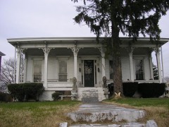
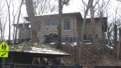
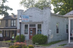
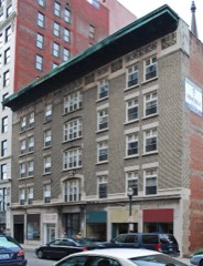
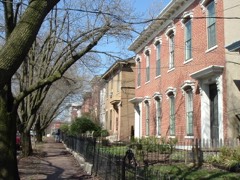
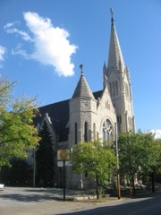
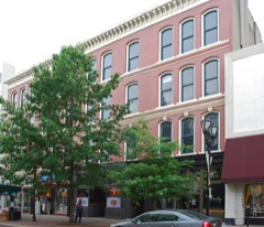
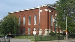
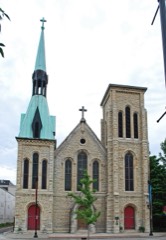
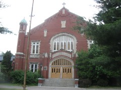
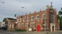
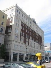
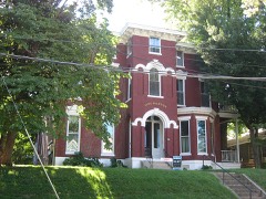
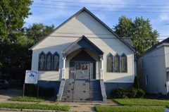
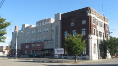
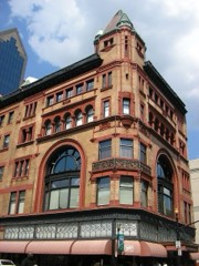
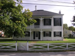
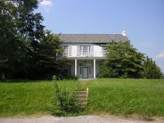
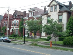
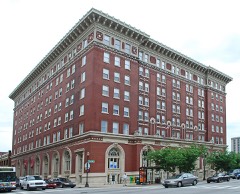
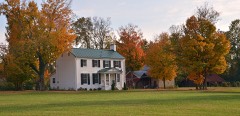
Block
From the record
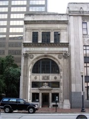
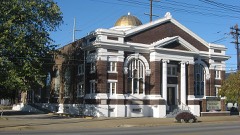
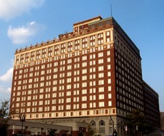
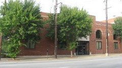
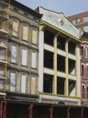
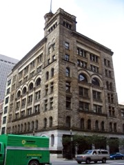
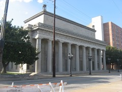
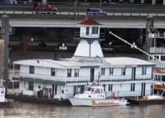
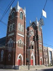
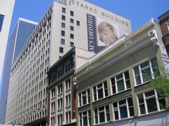
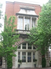
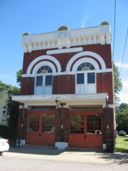
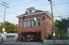
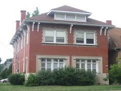
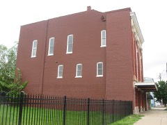
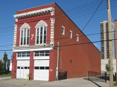
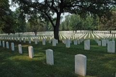
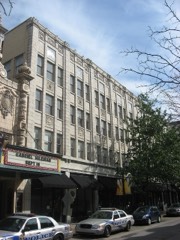
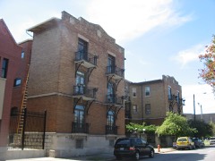
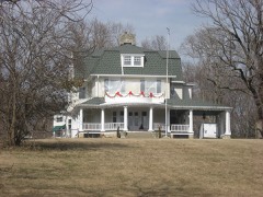
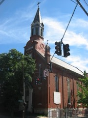
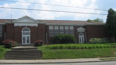
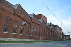
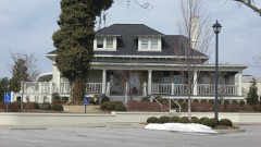
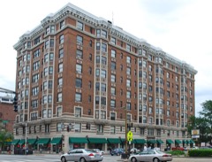
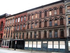
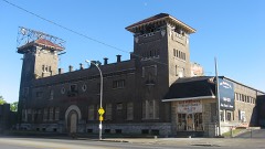
526 National Register listings published here, 8 of them National Historic Landmarks.
Sources: the National Register database, National Park Service
129 topographic sheets and 40 fire insurance atlases across 4 places.
526 National Register listings published here, 8 of them National Historic Landmarks.
Sources: the National Register database, National Park Service
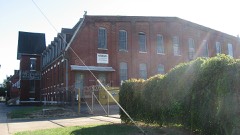
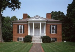
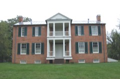
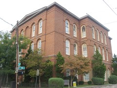
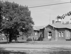
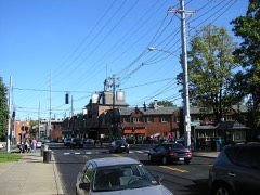
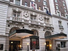
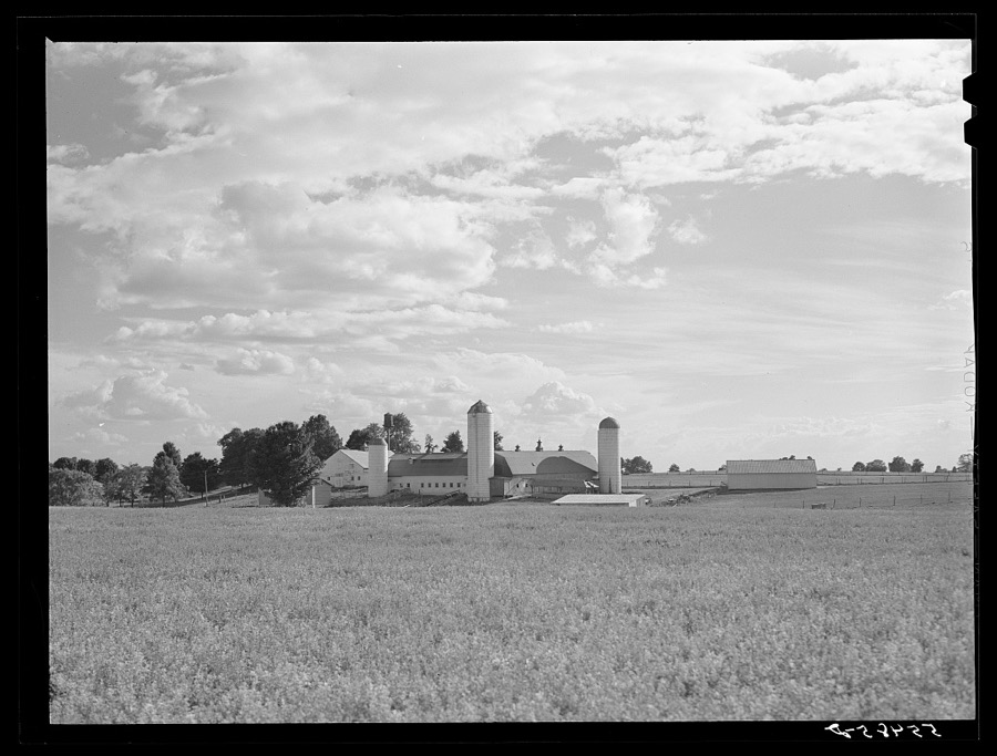
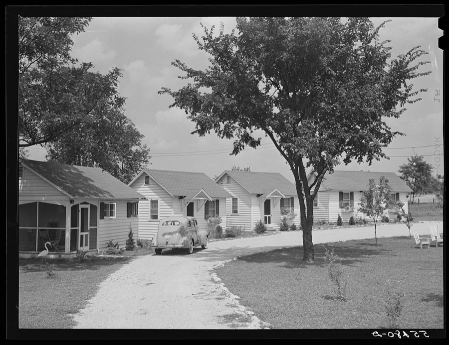
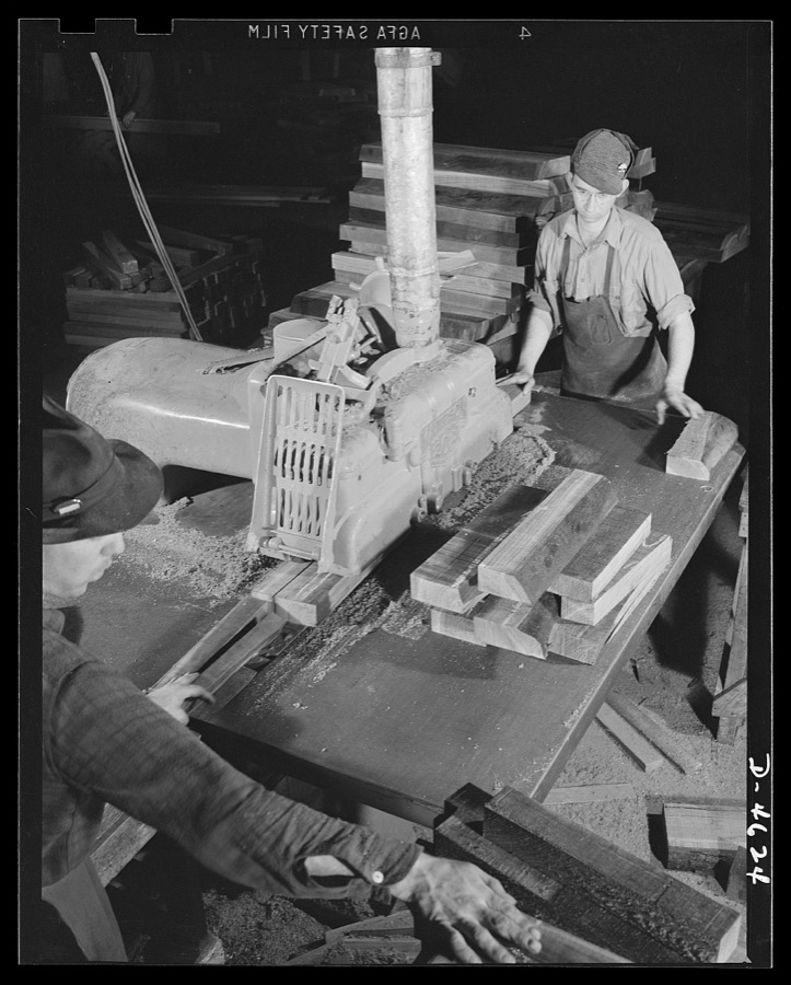
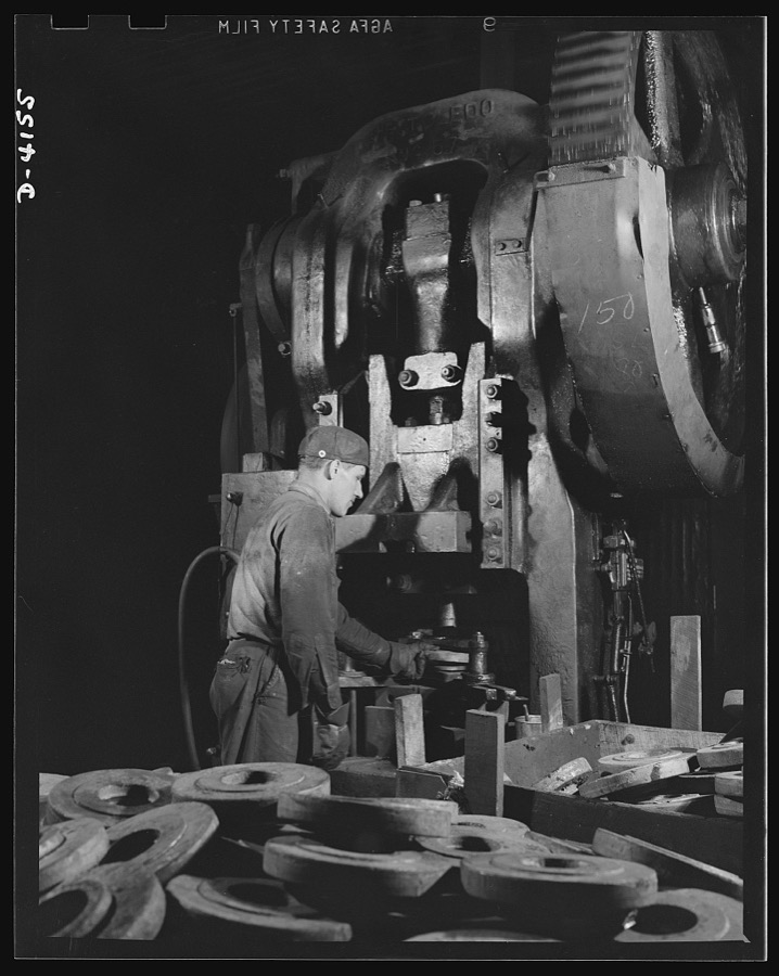
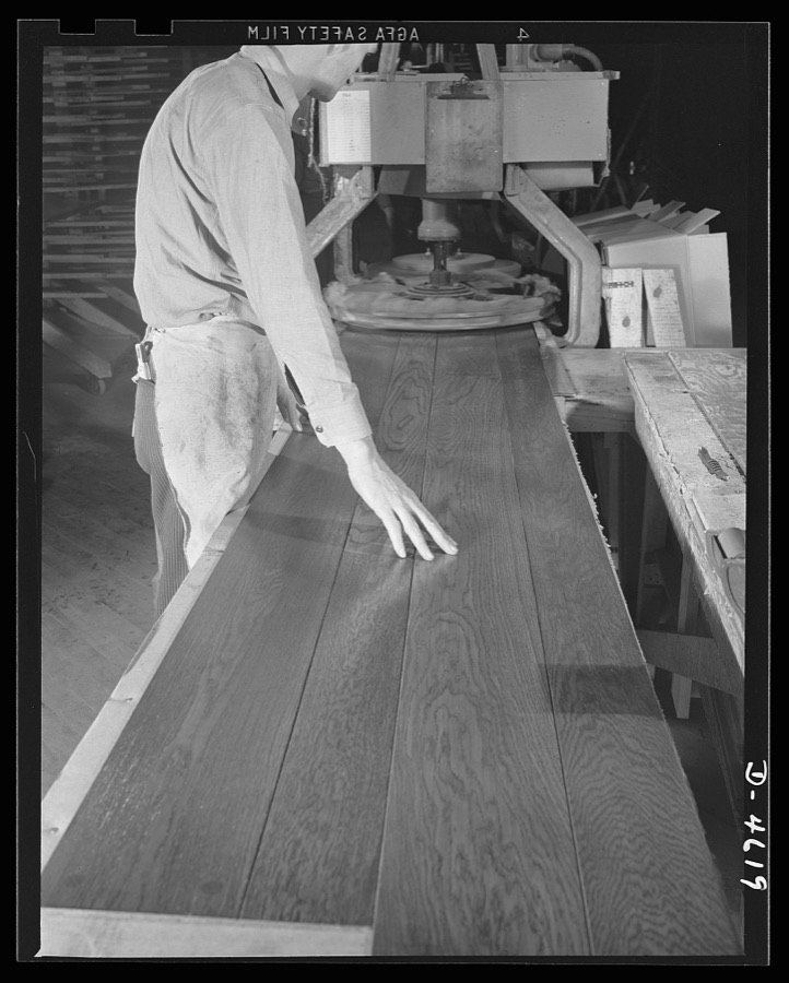
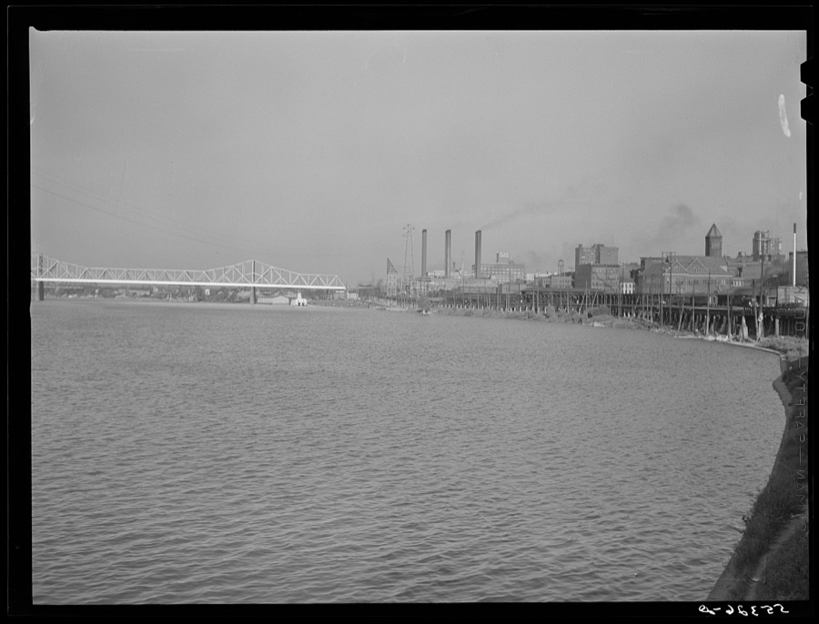
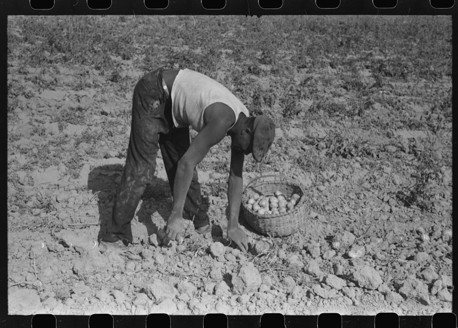
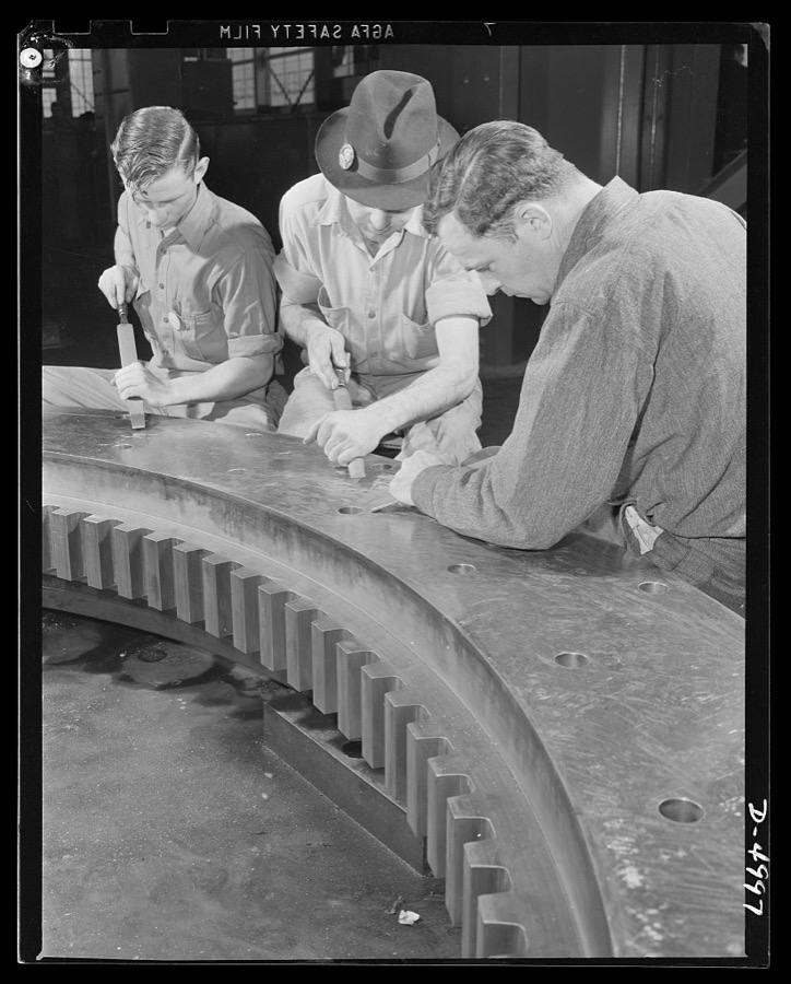
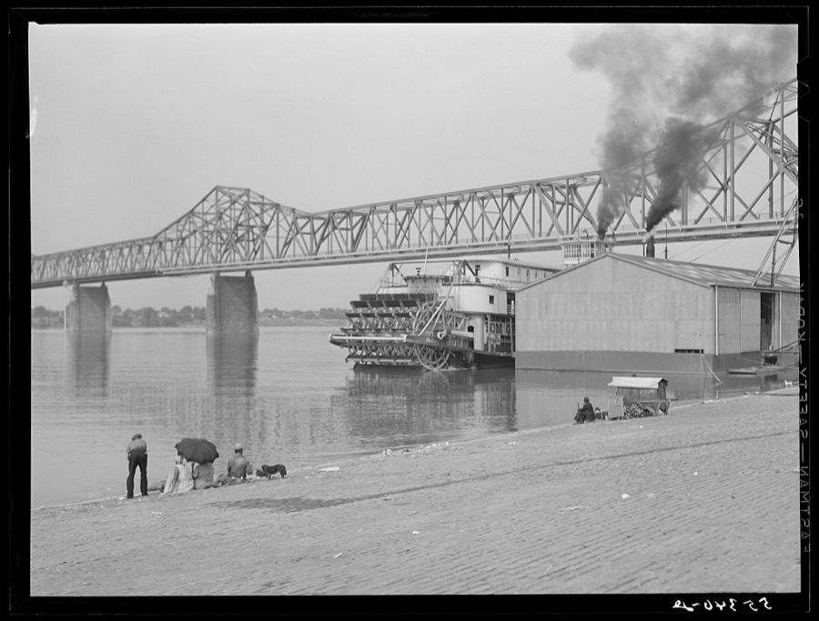
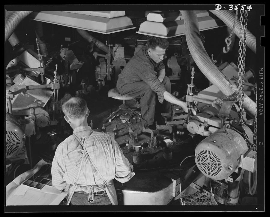
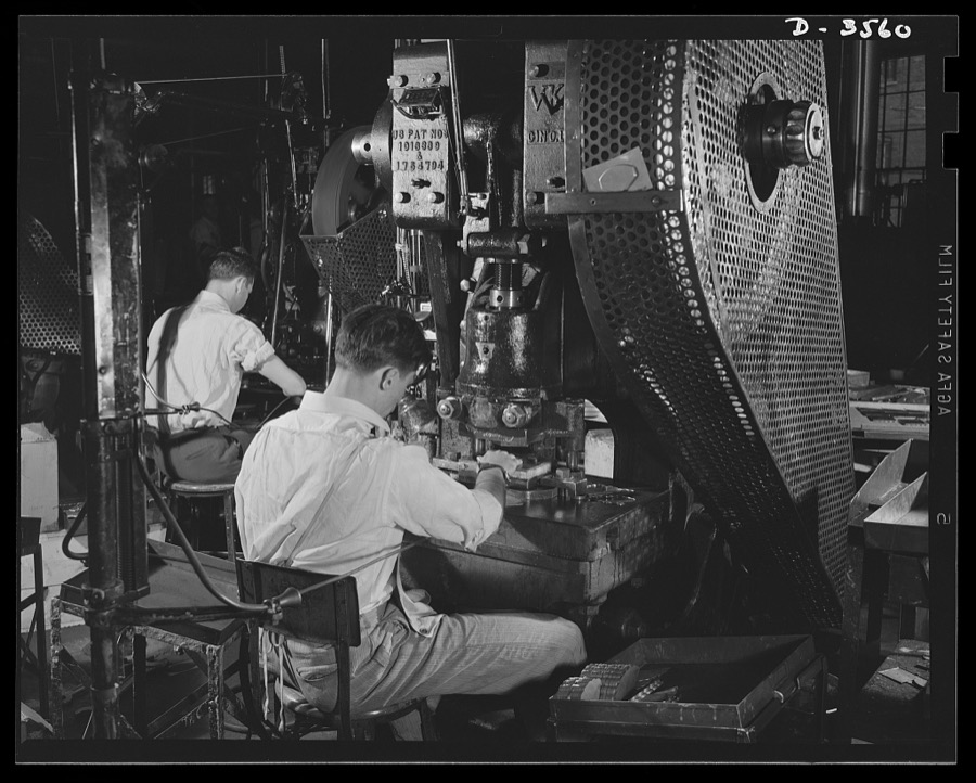
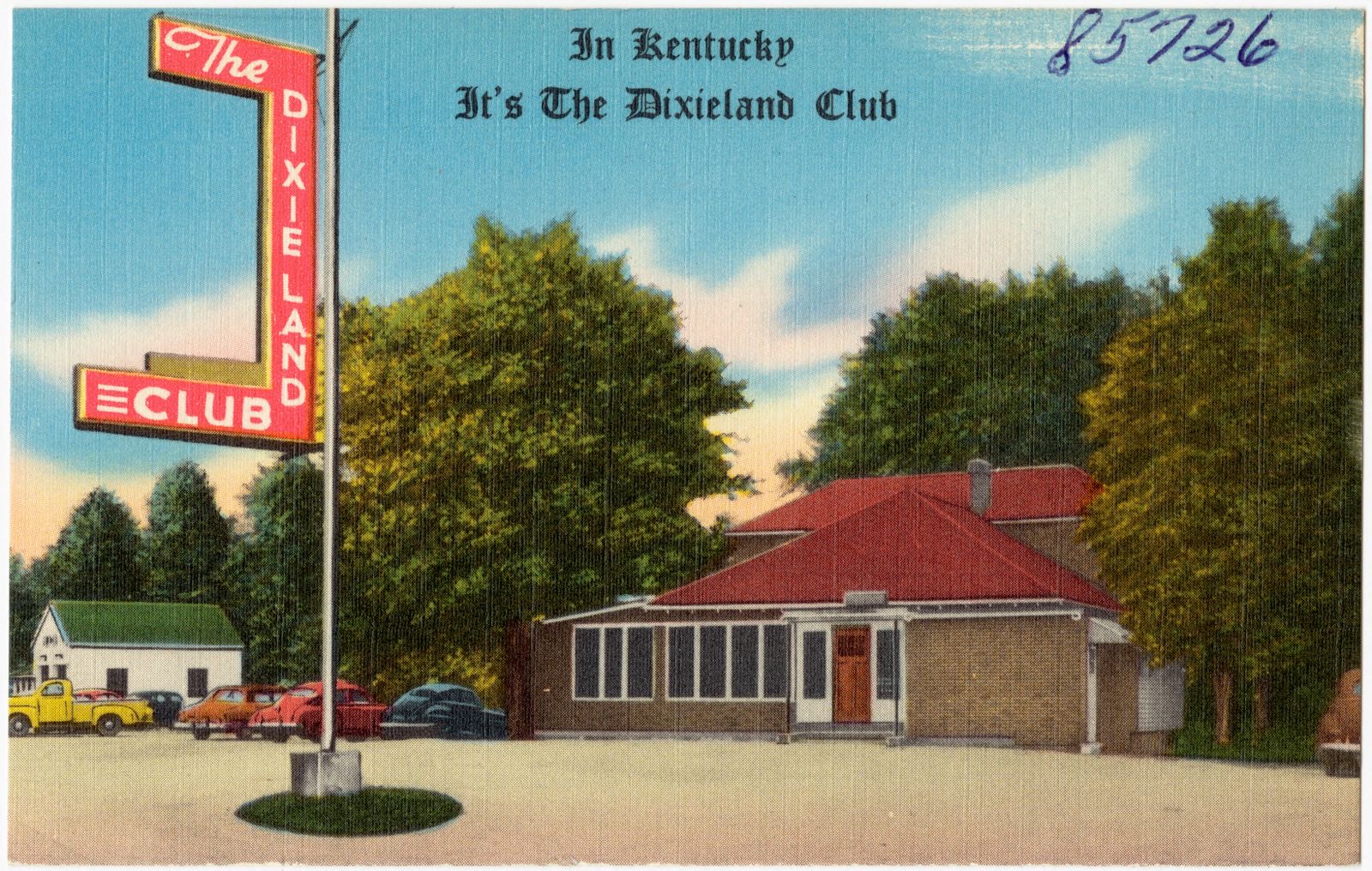
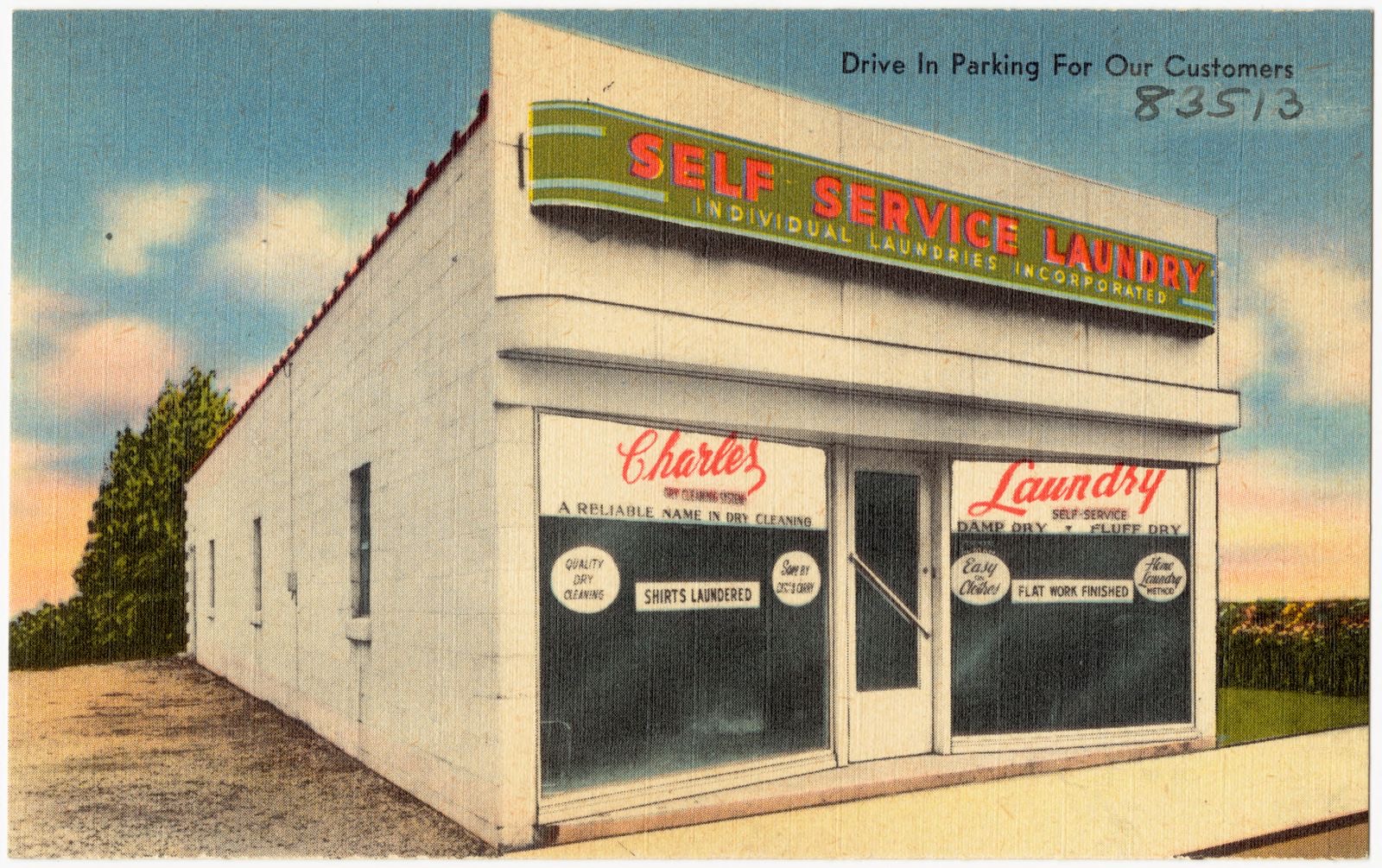
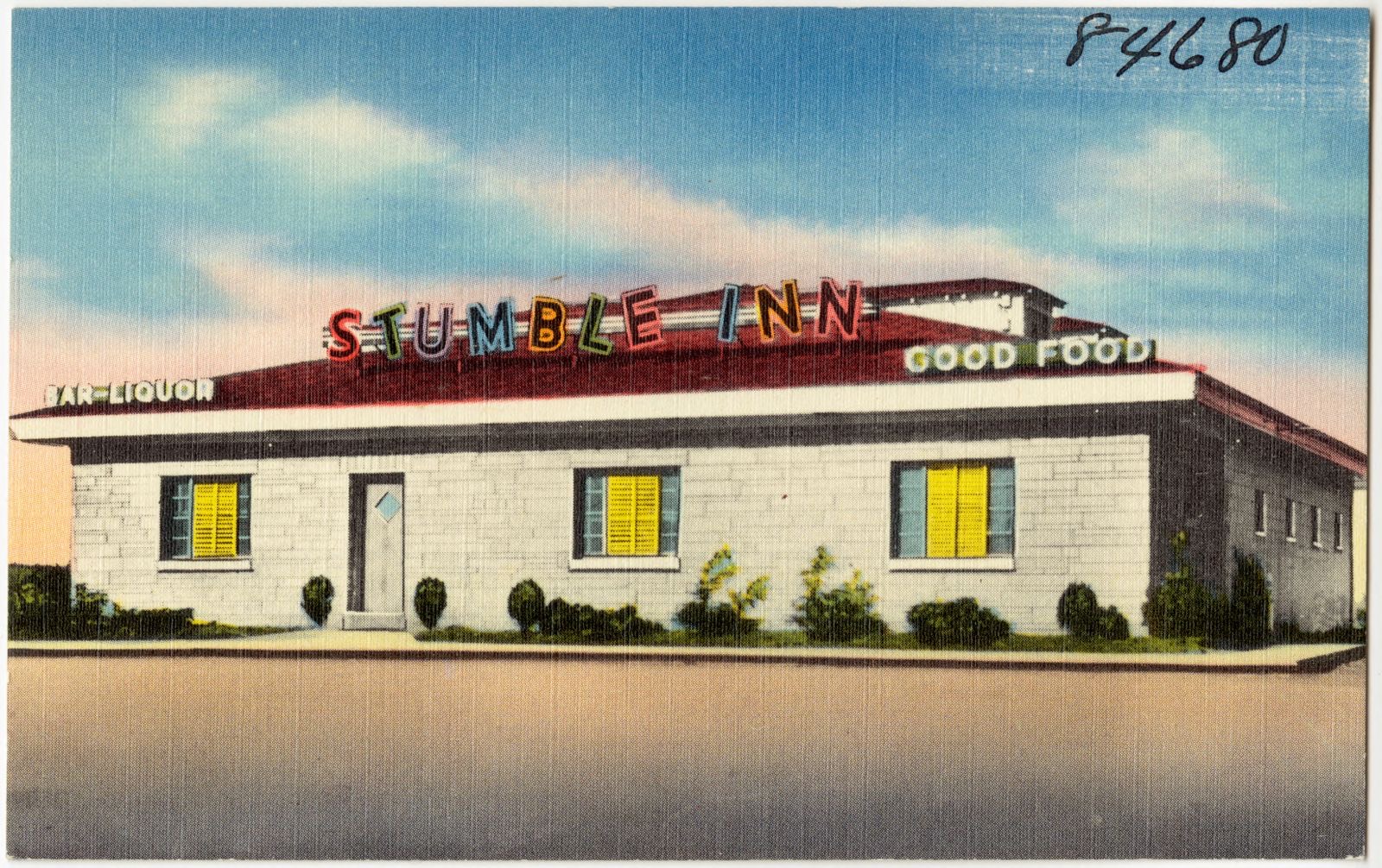
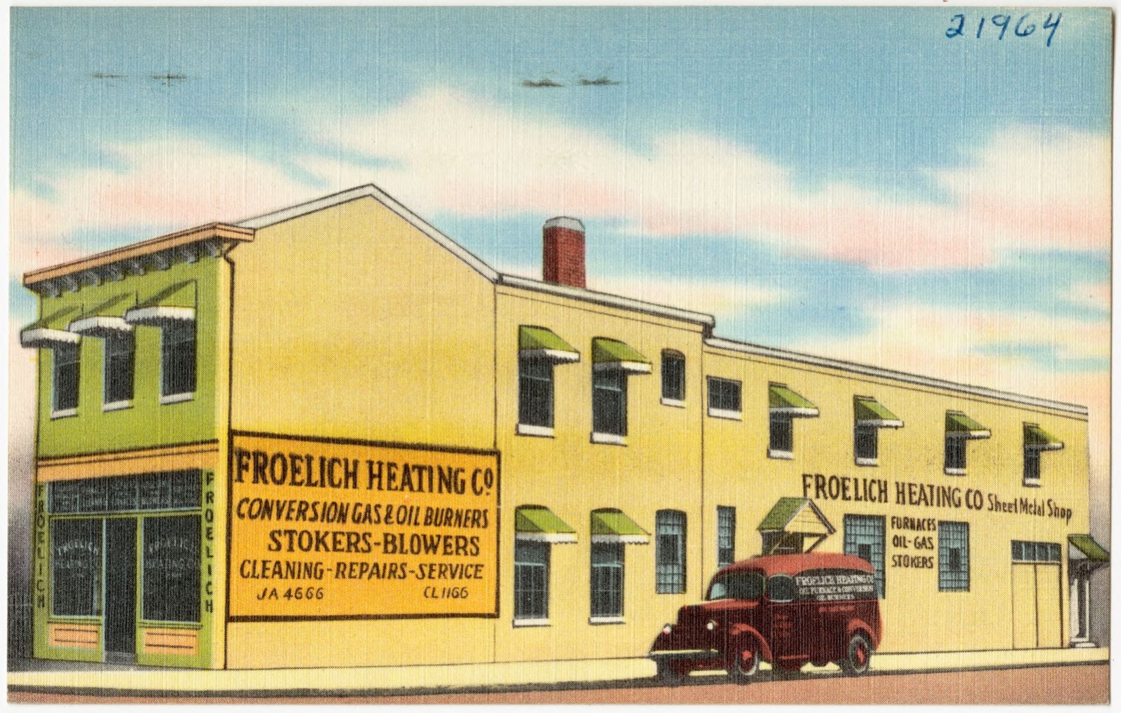
Taken for the Office of War Information and the Farm Security Administration, who photographed the country between 1935 and 1944. Works of United States government photographers, with no known restriction on use. Each opens its catalogue record.
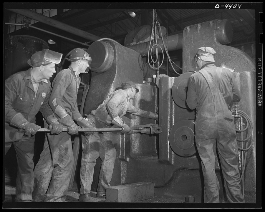
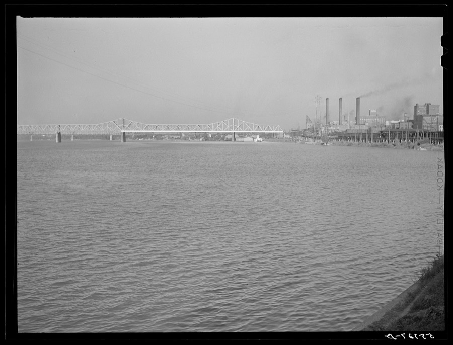
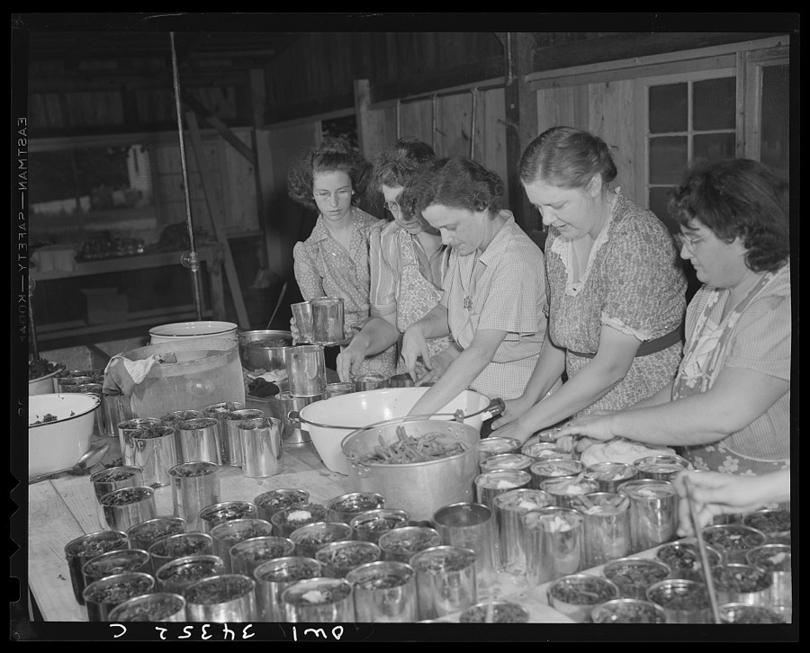
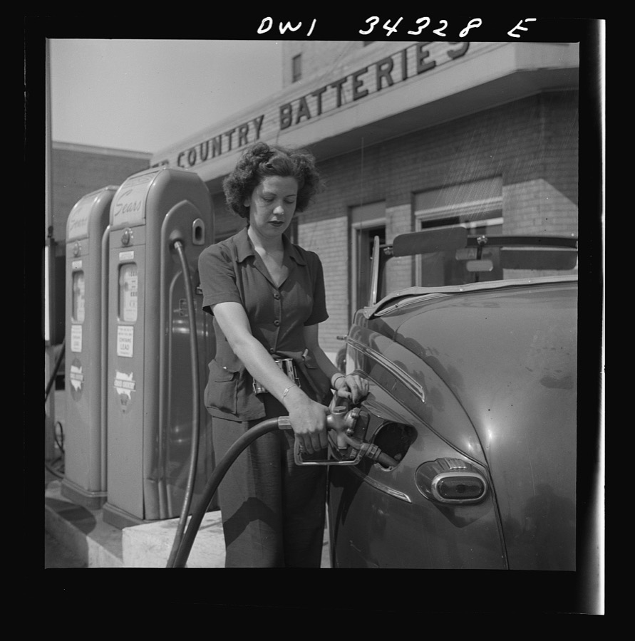
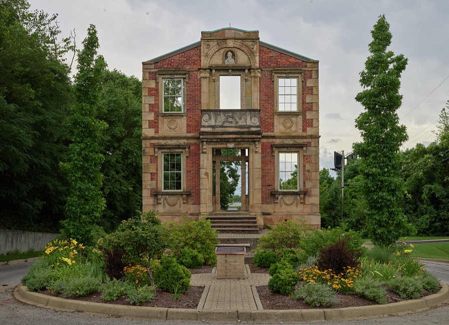

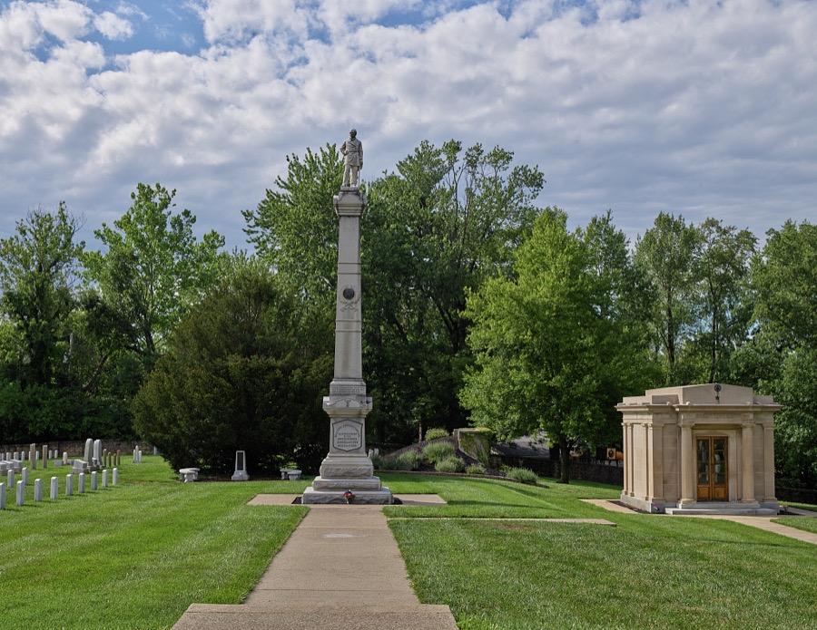


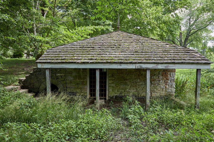
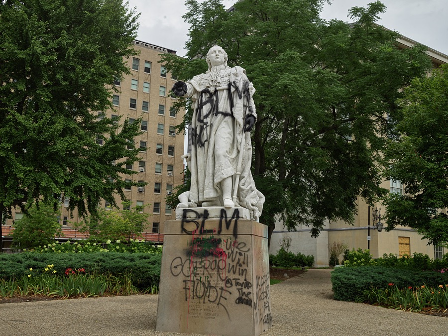
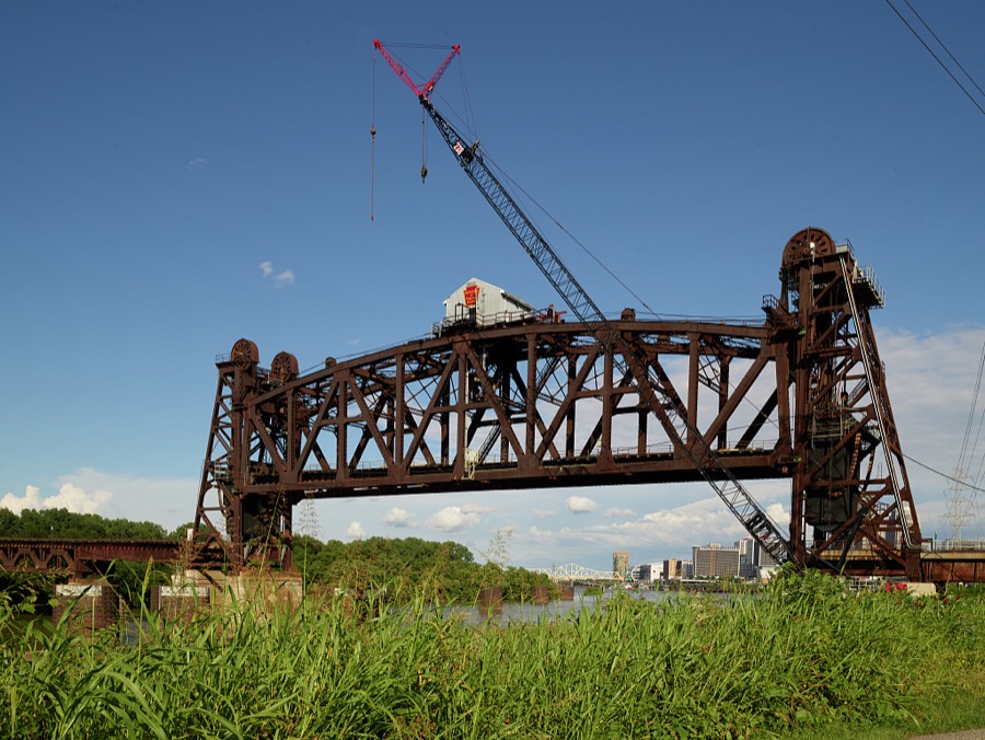

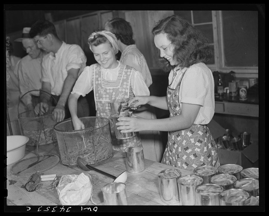
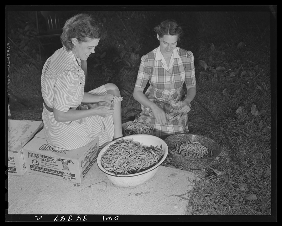
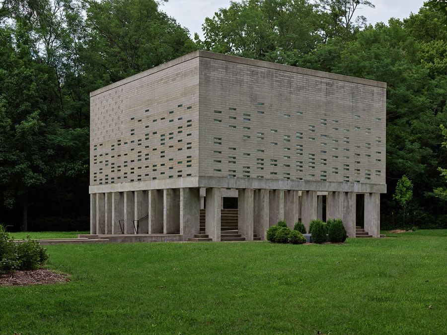
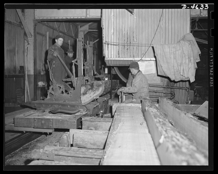
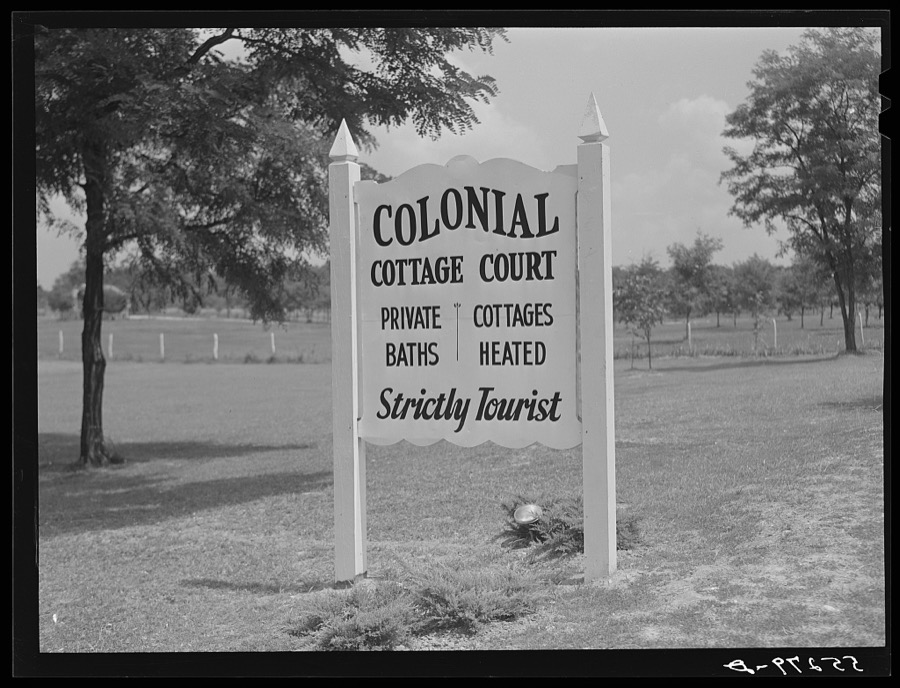
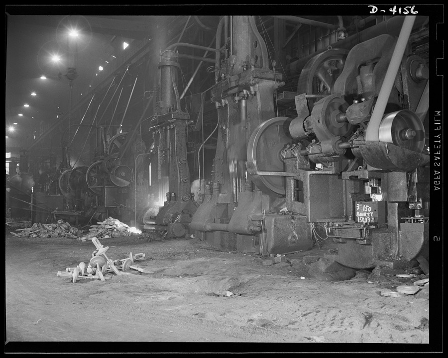

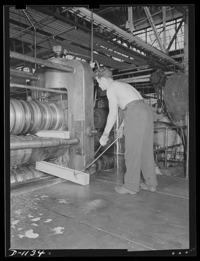
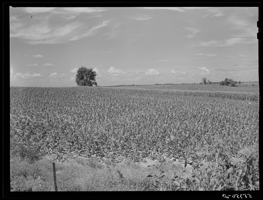
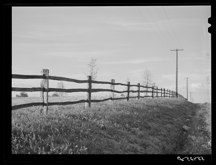
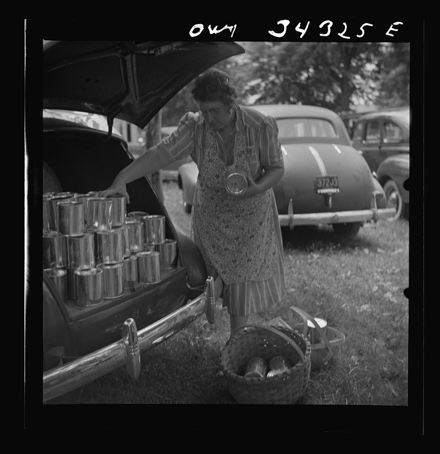
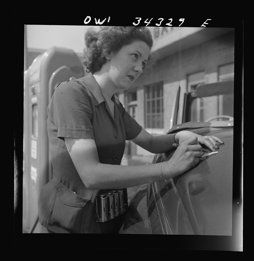
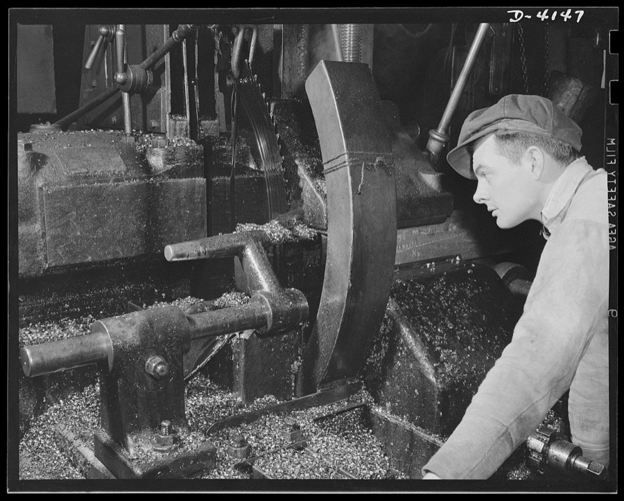
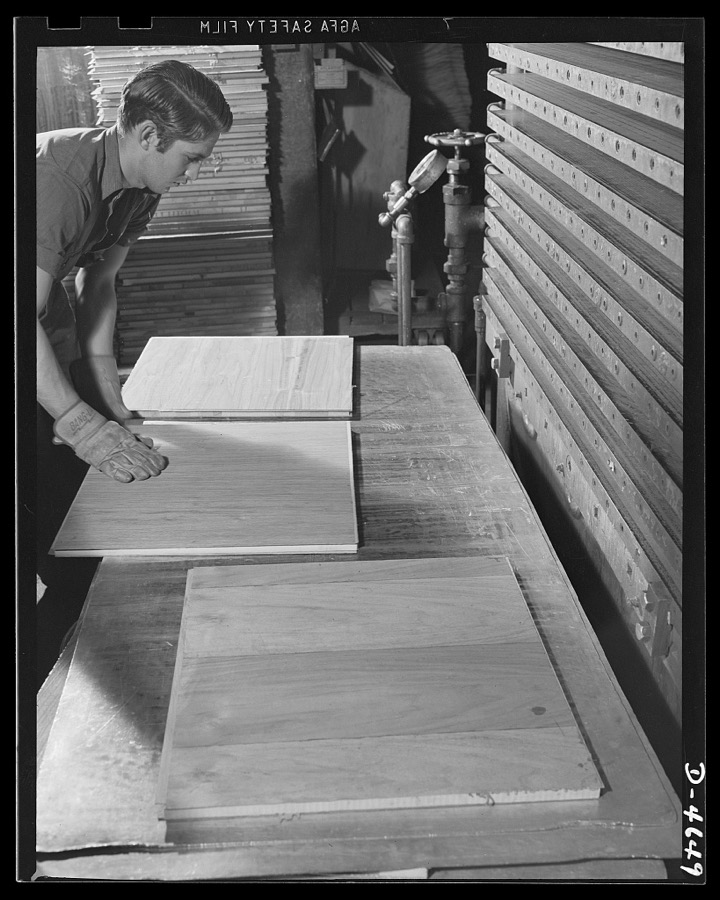
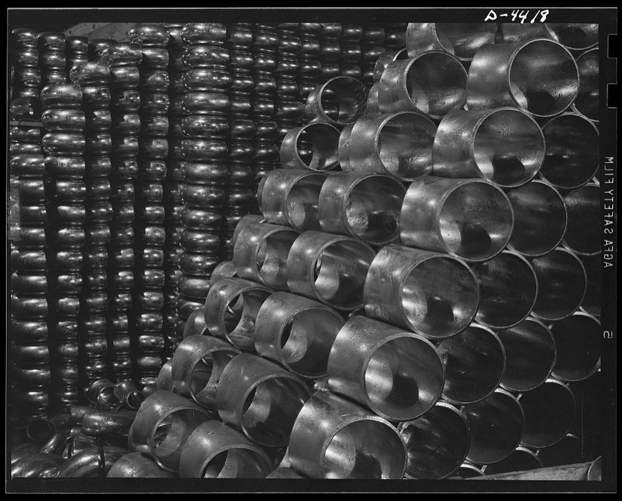
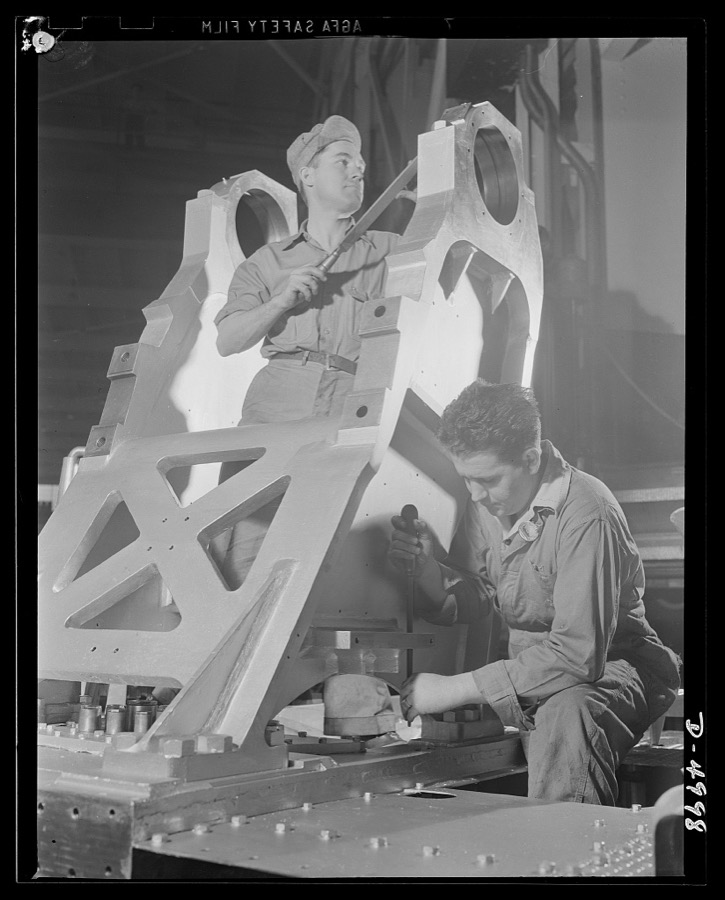
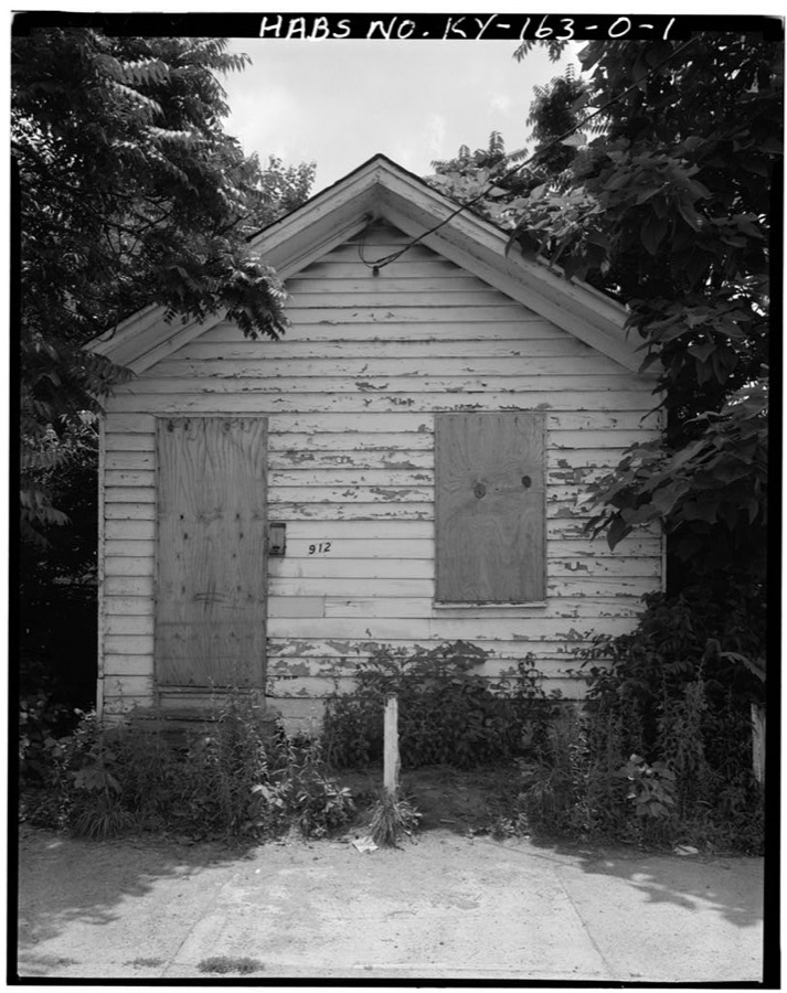
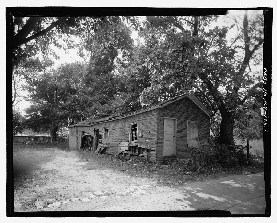
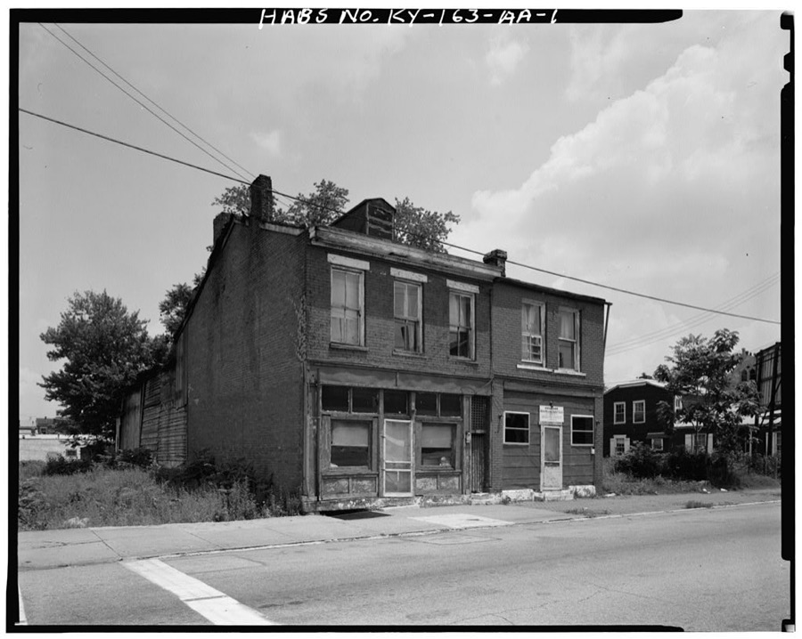
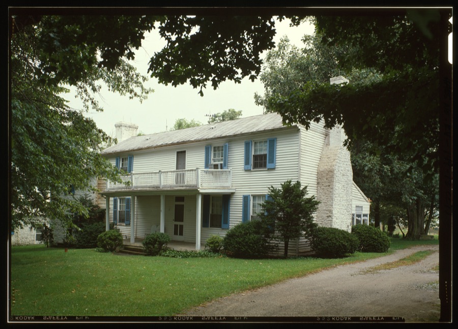
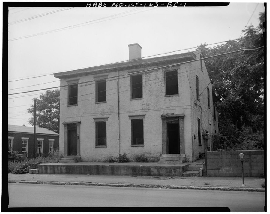
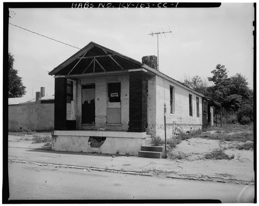
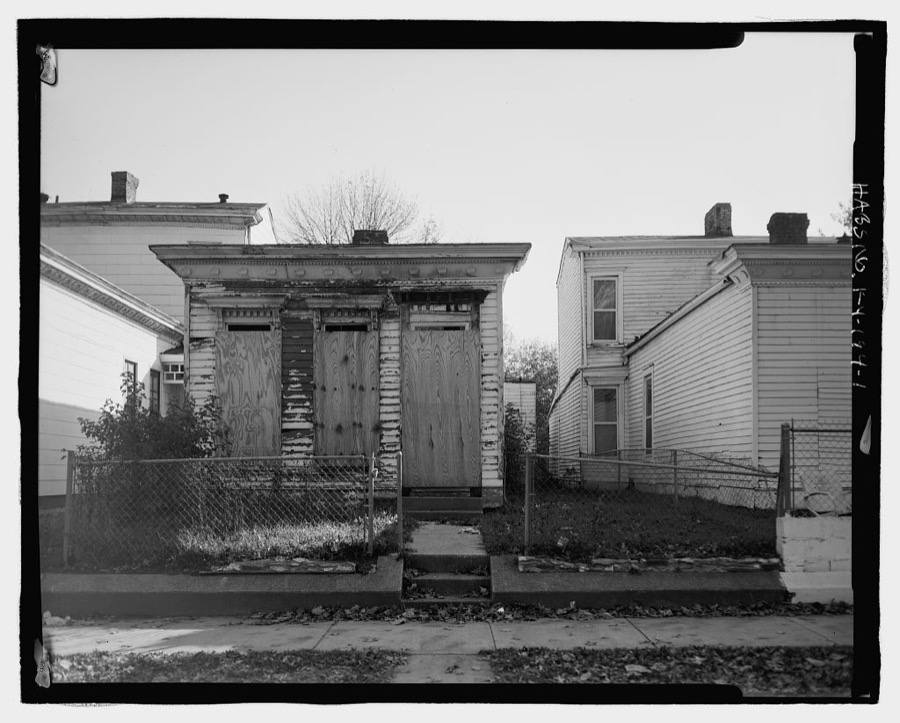
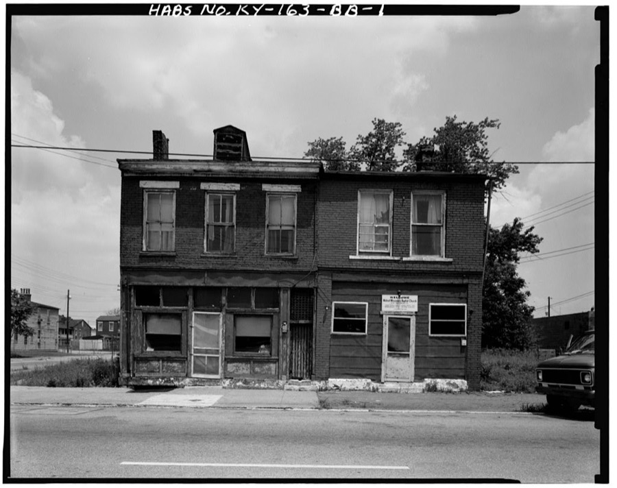
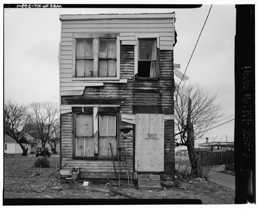

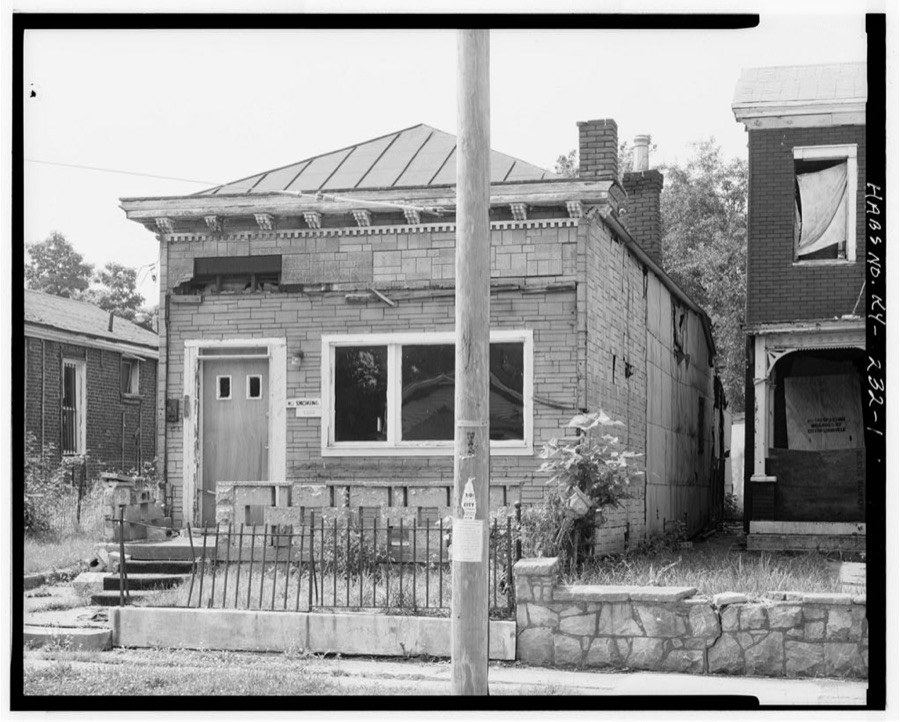
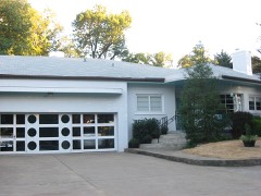
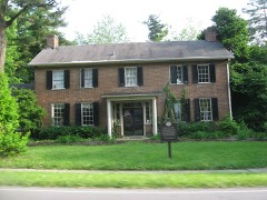
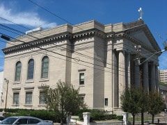
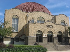
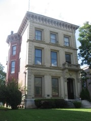
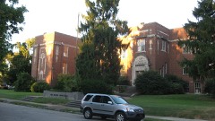
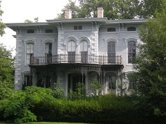
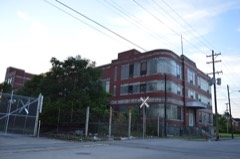
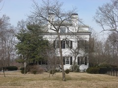
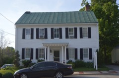
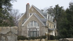
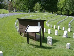
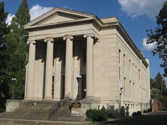
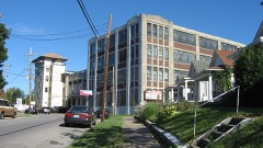
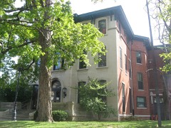
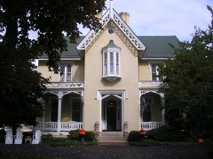
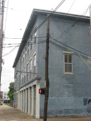
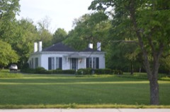
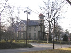
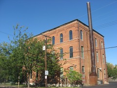
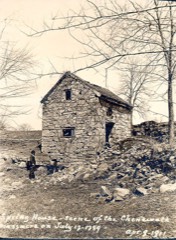
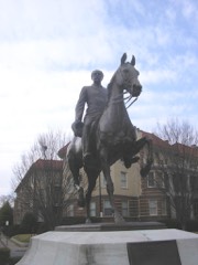
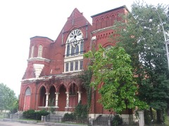
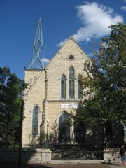
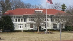
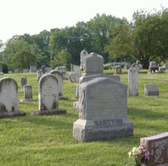
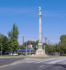
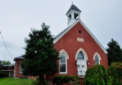
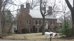
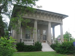
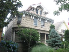
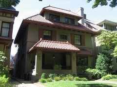
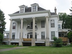
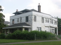
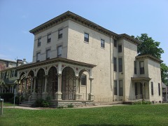
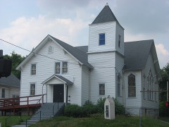
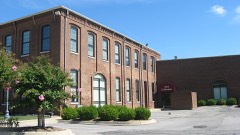
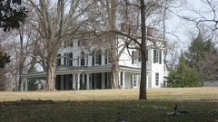
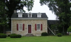
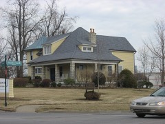
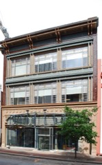
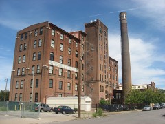
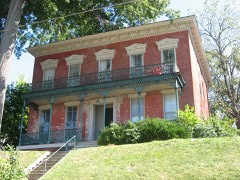
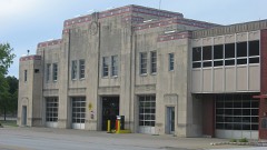
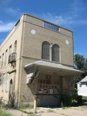
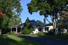
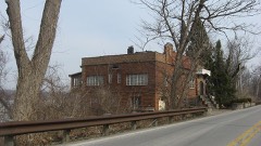
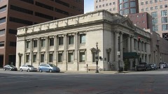
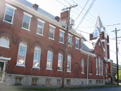
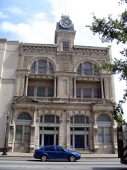
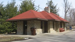
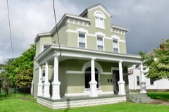
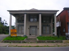
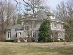
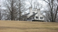
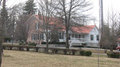
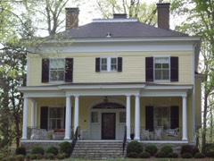
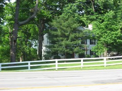
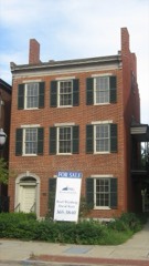
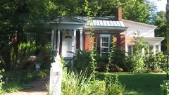
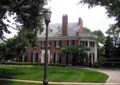
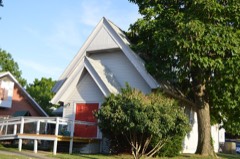
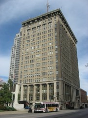
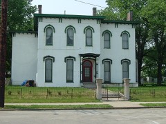
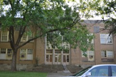
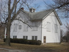
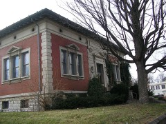
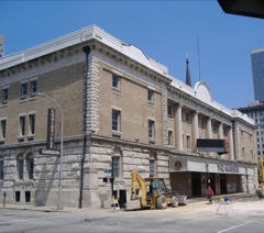
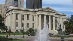
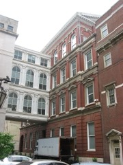
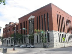
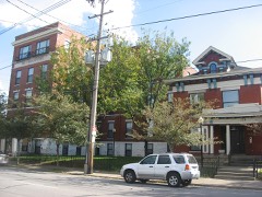
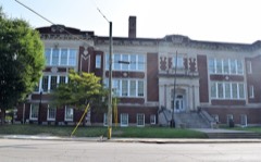
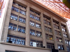
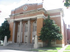
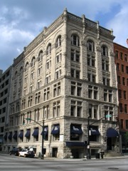
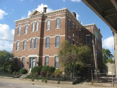
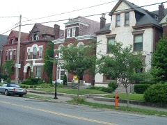
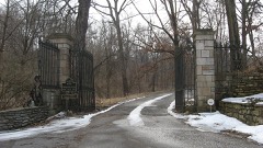
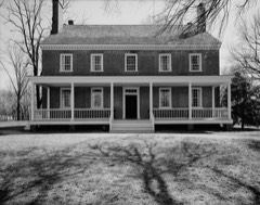
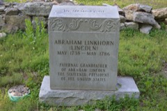
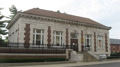
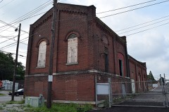
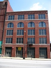
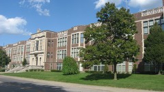
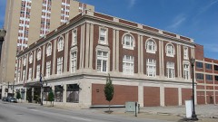
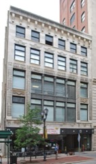
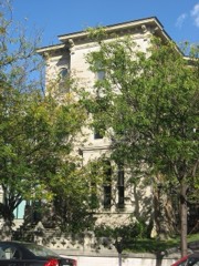
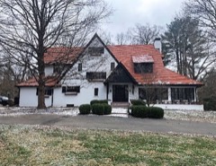
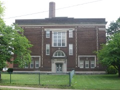
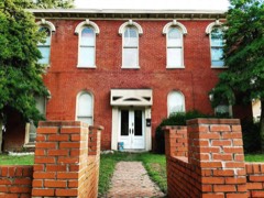
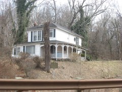
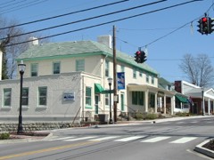
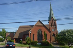
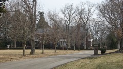
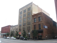
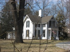
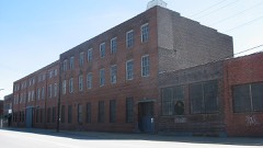
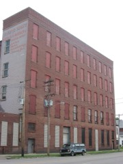
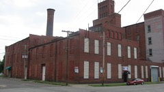
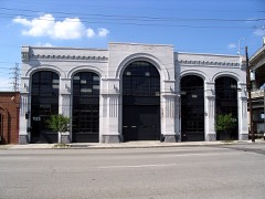
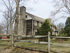
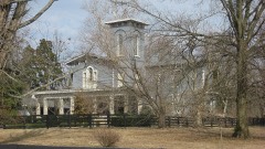
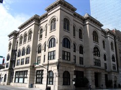
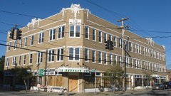
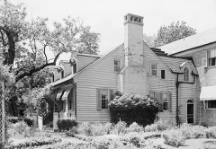
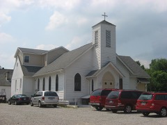
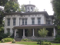
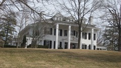
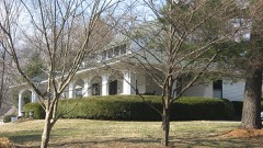
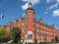
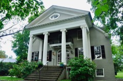
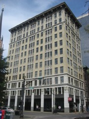
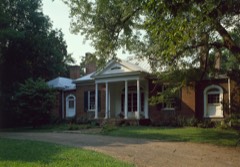
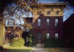
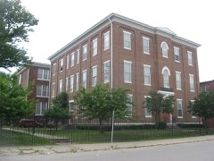
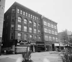
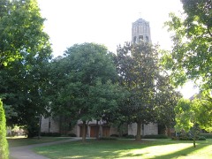
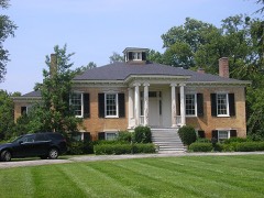
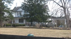
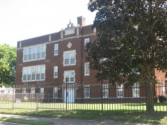
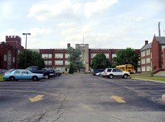
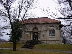
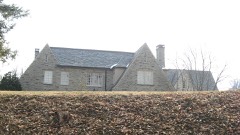
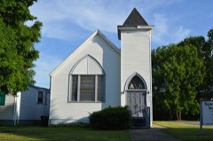
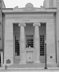
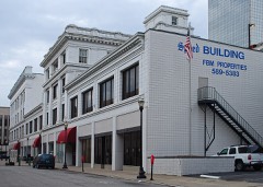
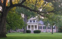
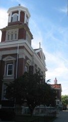
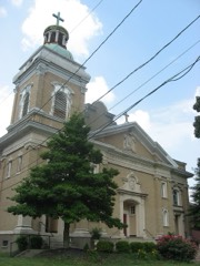
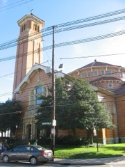
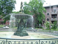
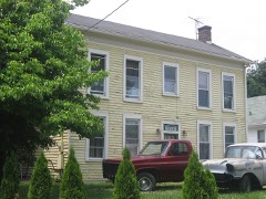
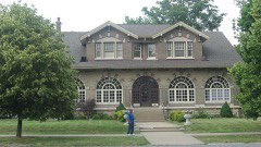
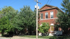
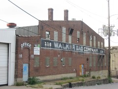
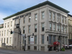
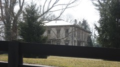
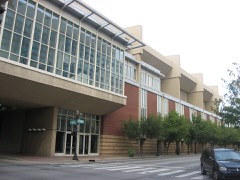
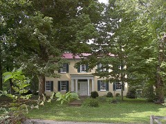
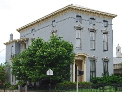
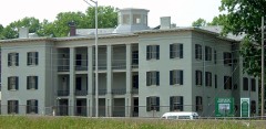
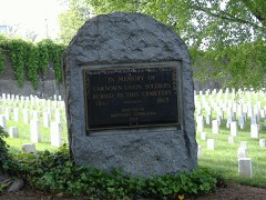
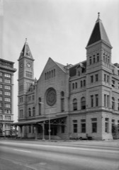
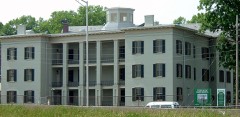
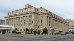
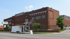
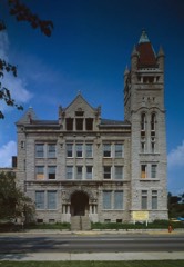
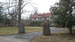
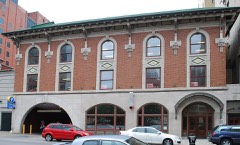
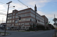
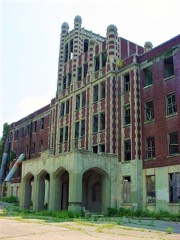
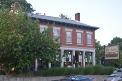
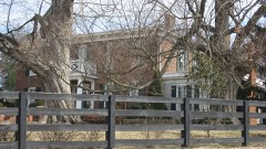
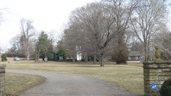
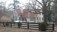
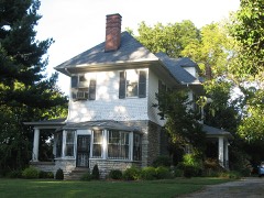
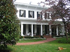
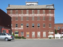
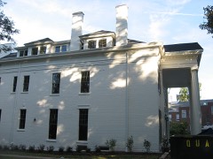
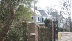
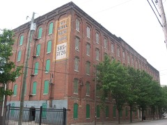
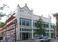
Every property in this county listed on the National Register of Historic Places, with the year it was listed and the federal nomination document.
Sampled issues, machine-read from the Library of Congress scan and published page by page, so every headline and column is searchable text.
[Louisville, Ky.], 1904 to ????. Machine-read from the Library of Congress scan.
Louisville, Ky., 1847 to 1849. Machine-read from the Library of Congress scan.
Louisville, Ky., 1851 to 186?. Machine-read from the Library of Congress scan.
Louisville [Ky.], 1869 to Current. Machine-read from the Library of Congress scan.
Louisville, Ky., 1878 to 19??. Machine-read from the Library of Congress scan.
Louisville, Ky., 1833 to 1868. Machine-read from the Library of Congress scan.
Louisville, Ky., 1846 to 1868. Machine-read from the Library of Congress scan.
Louisville [Ky.], 1874 to 1917. Machine-read from the Library of Congress scan.
Louisville, Ky., 1897 to 19??. Machine-read from the Library of Congress scan.
Louisville, Ky., 1898 to 1968. Machine-read from the Library of Congress scan.
Louisville, Ky., 1879 to 19??. Machine-read from the Library of Congress scan.
Drawn when these were printed as single large sheets: the town seen from the air, and the county divided into its farms with every owner named. Each opens the original at the Library of Congress.
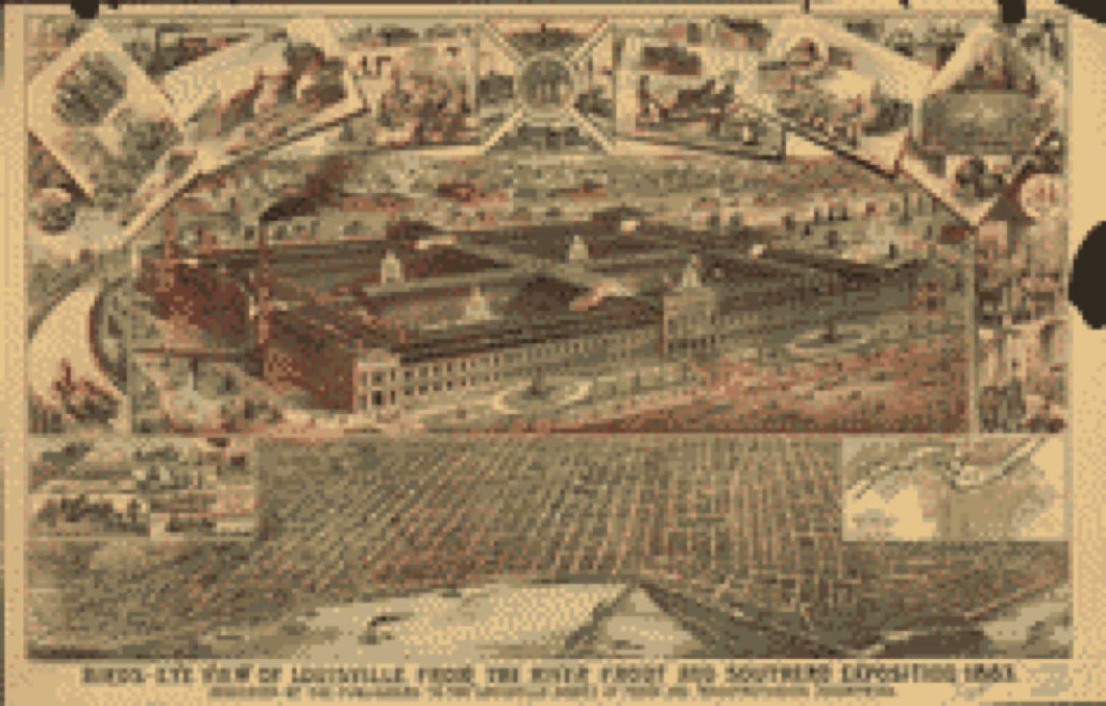
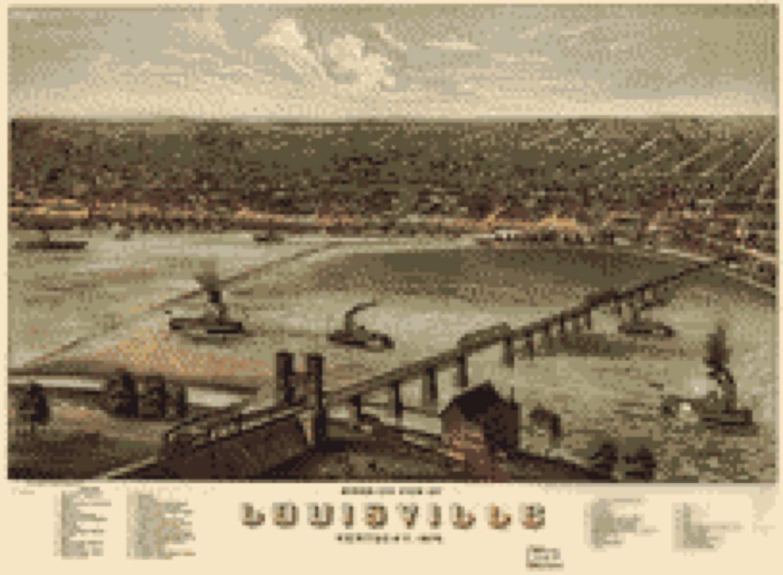
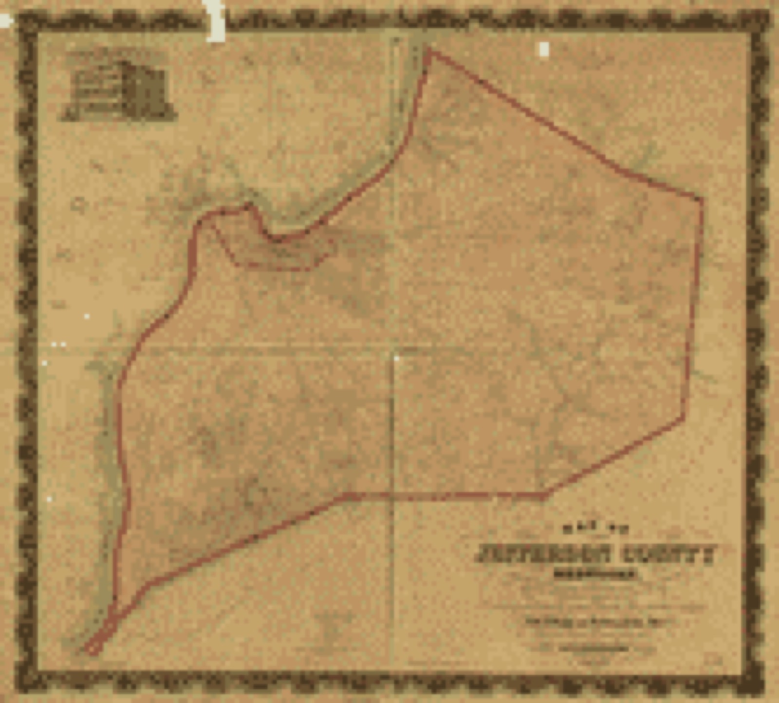
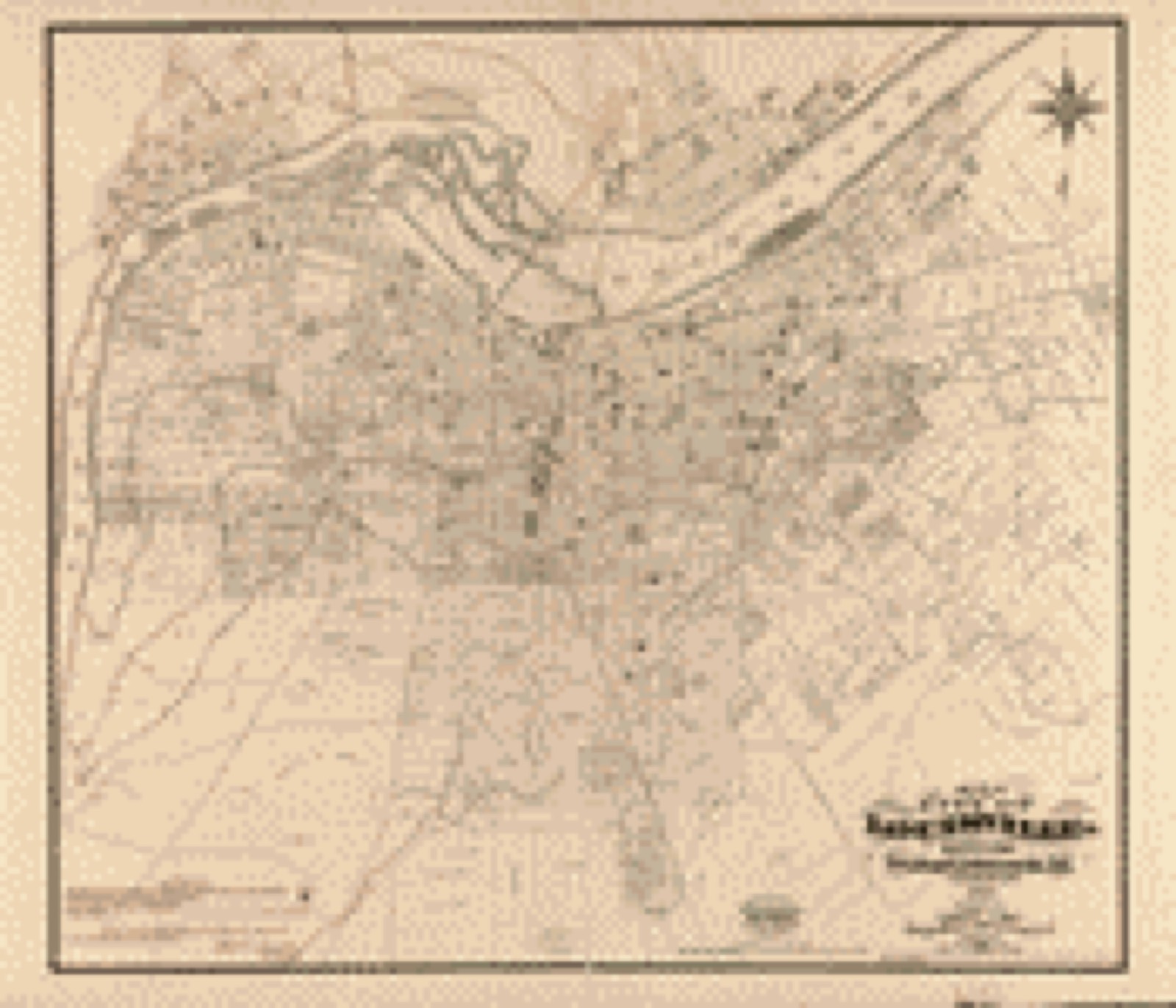
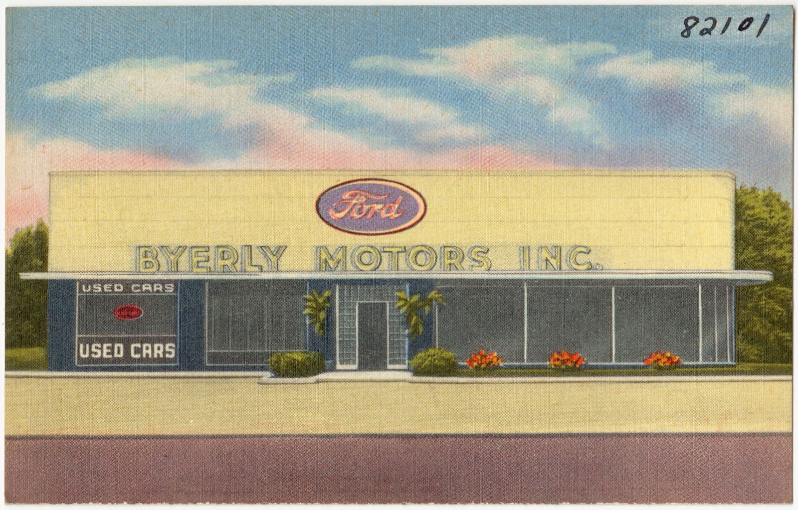
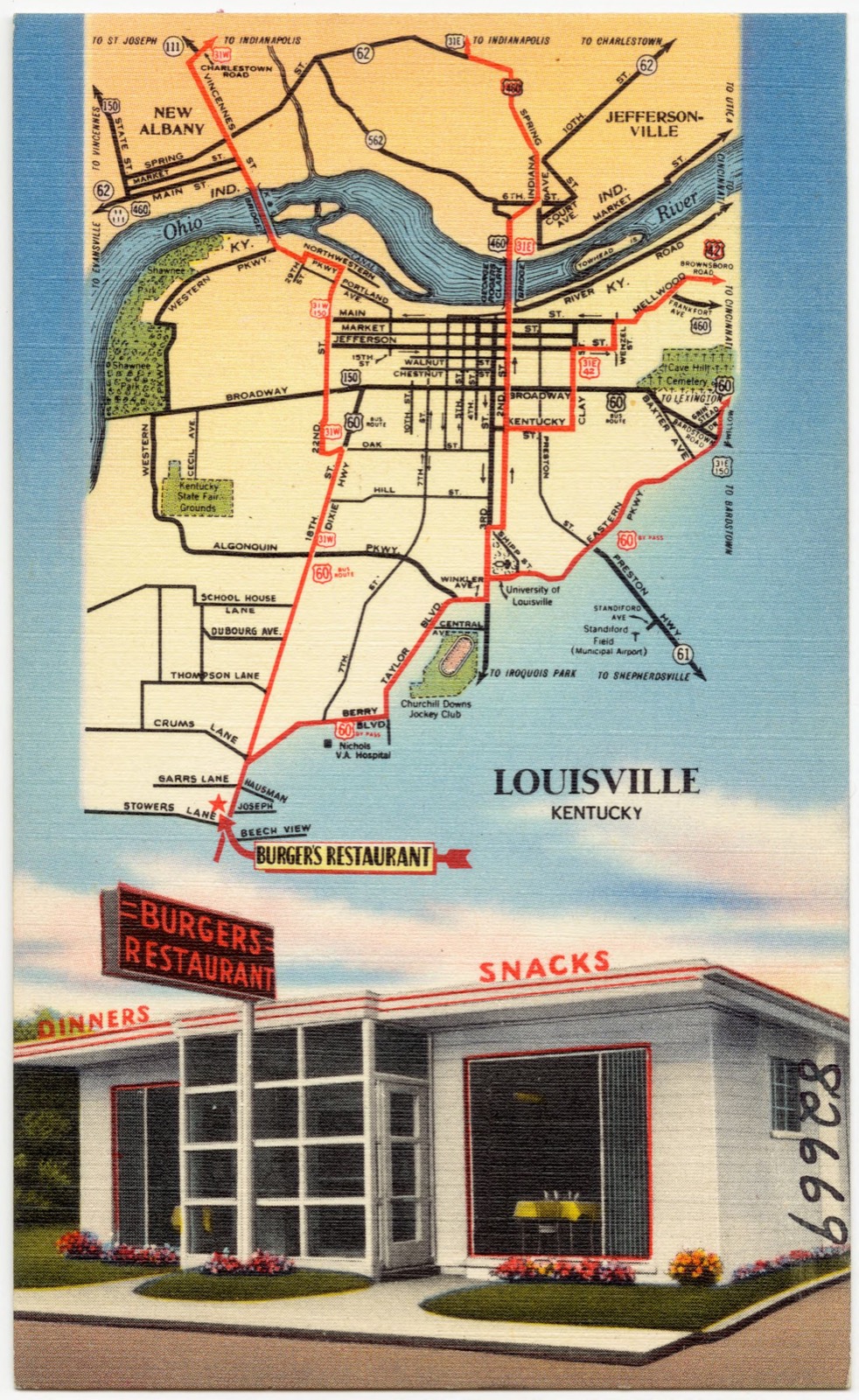
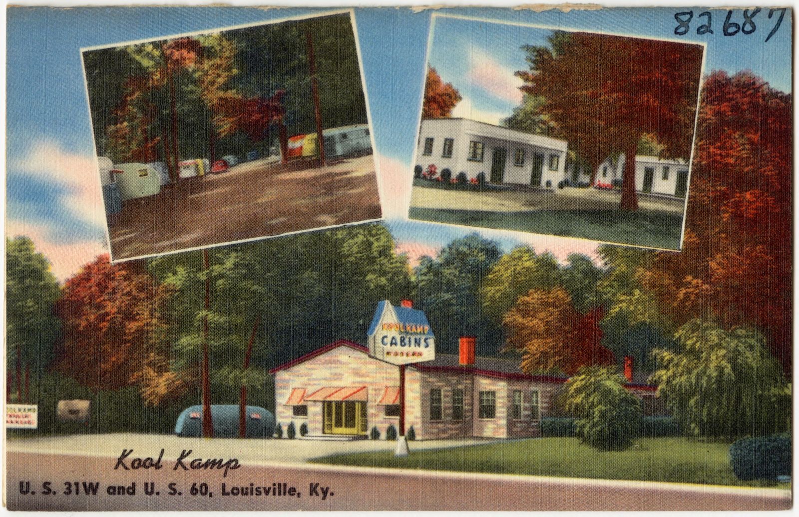
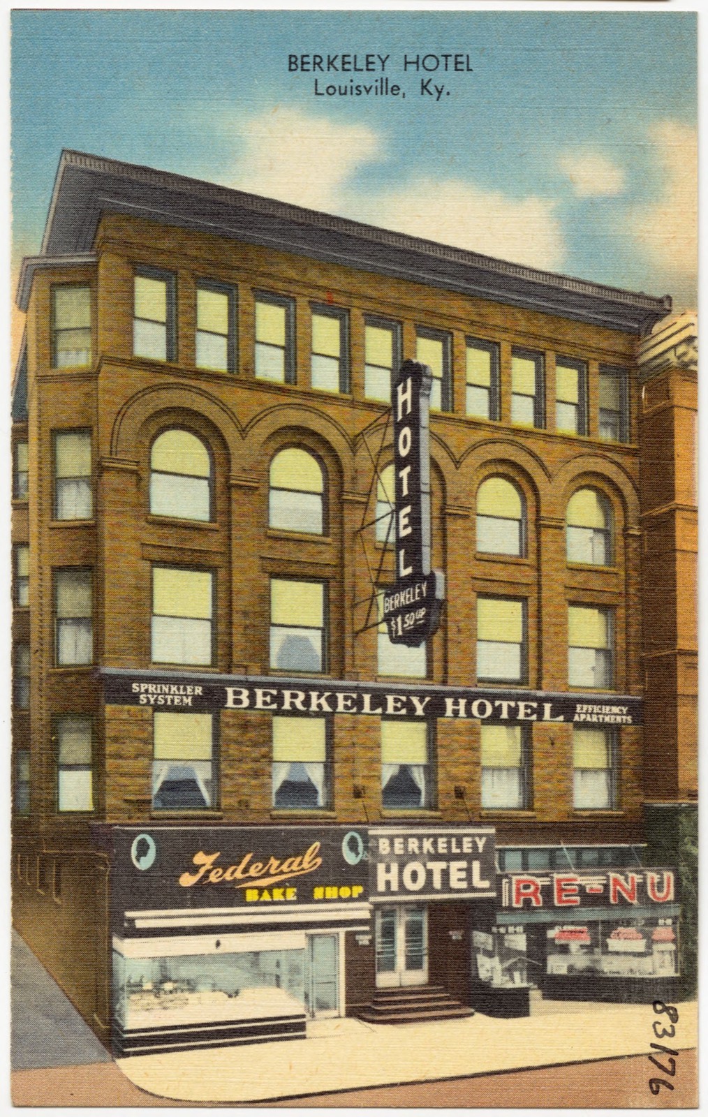
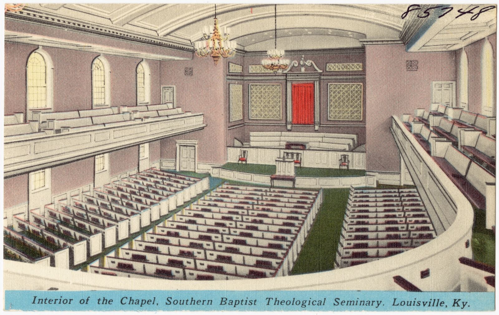
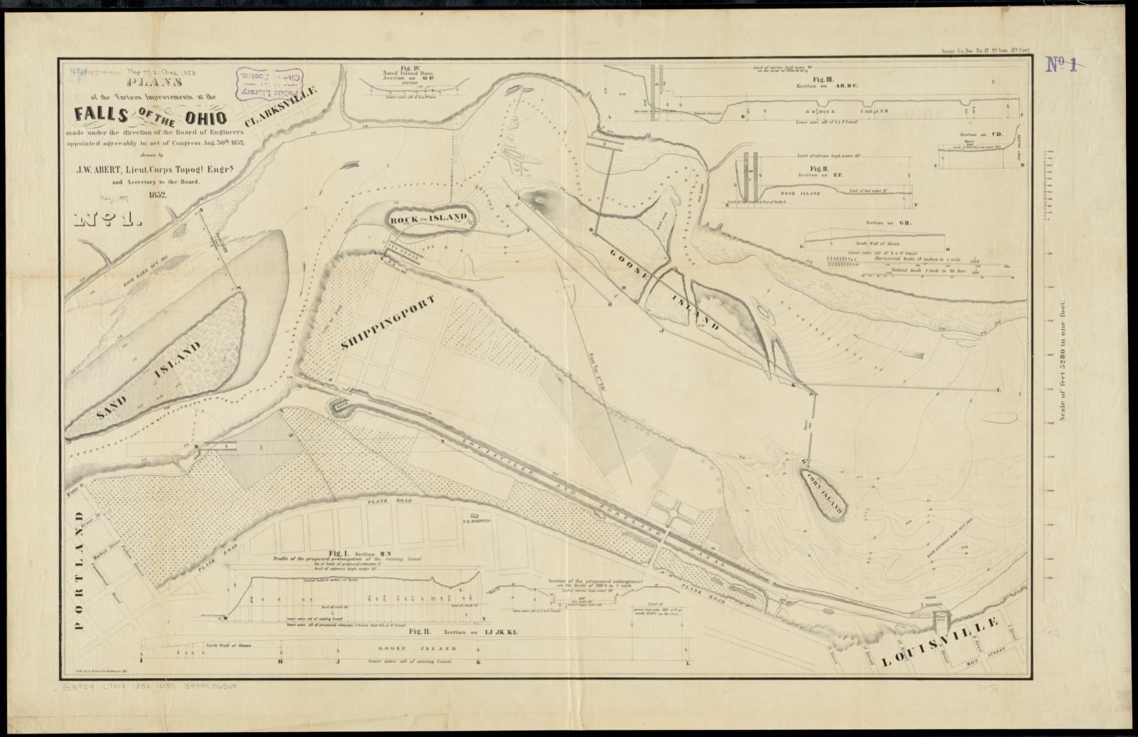
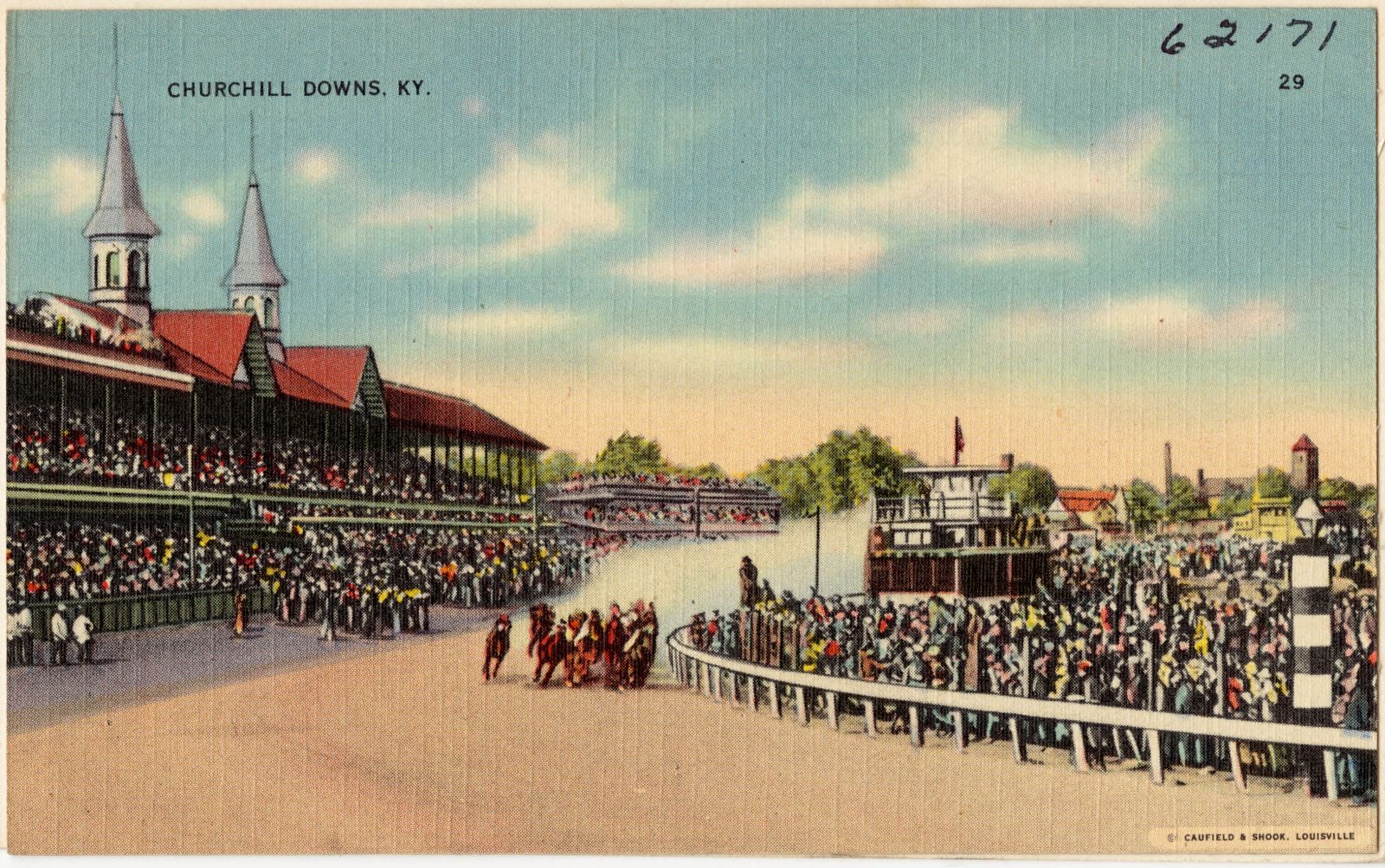
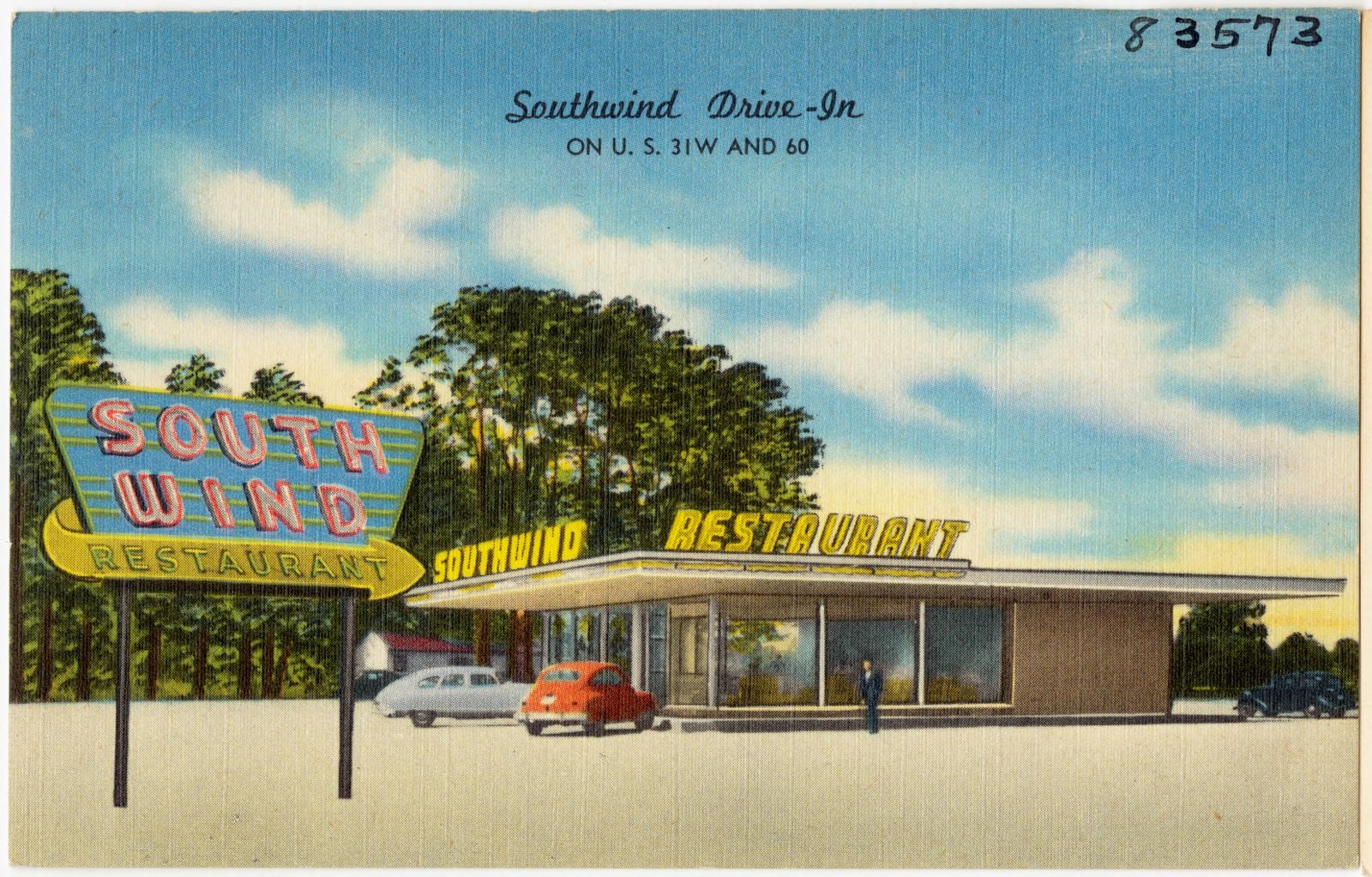
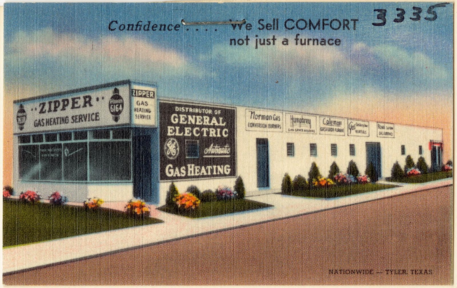
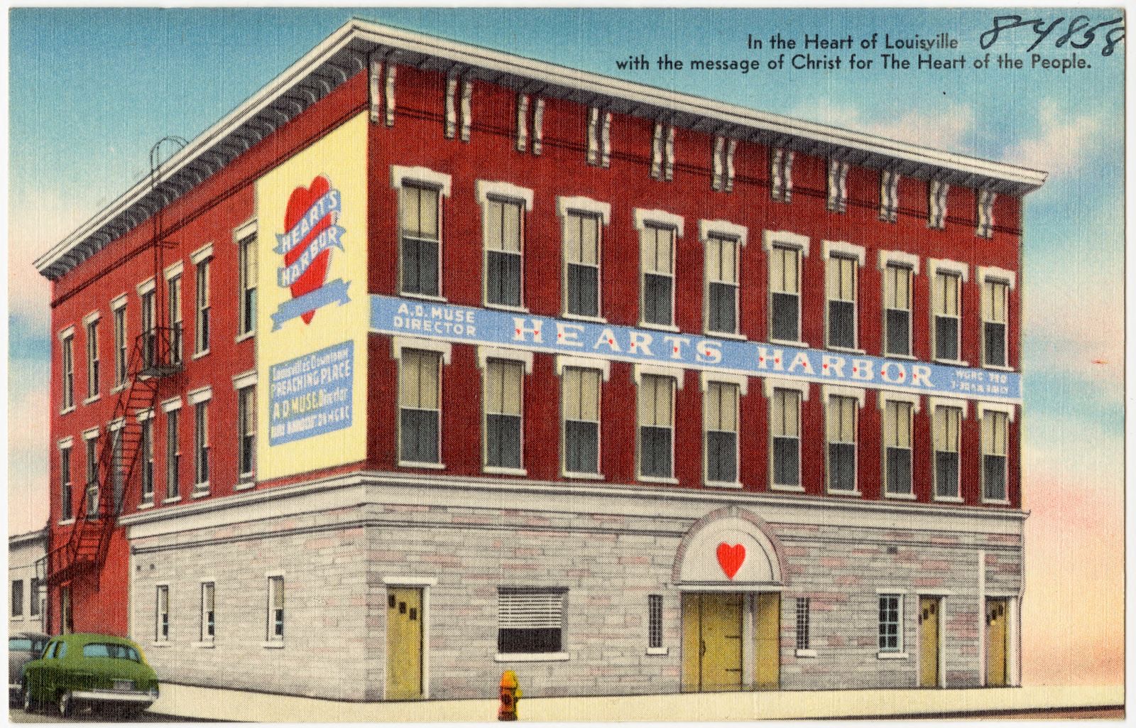
Selected from the Digital Public Library of America's 126 image records catalogued for this county. Every one shown here carries a public-domain status or a licence that permits reuse on a site that carries advertising; non-commercial, share-alike and restricted images are excluded. The selection is spread across the county's towns (at most eight per town), so no single institution's bulk upload crowds out the rest. Each opens the holding library's record, and the complete set at the Digital Public Library of America is one click away.
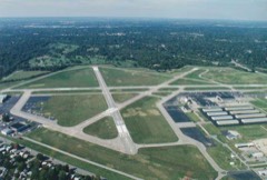
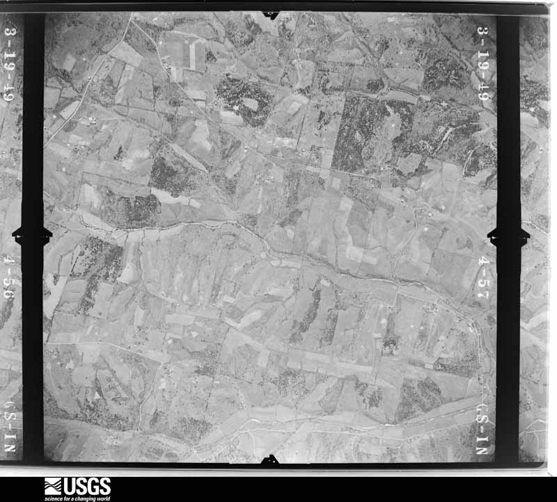
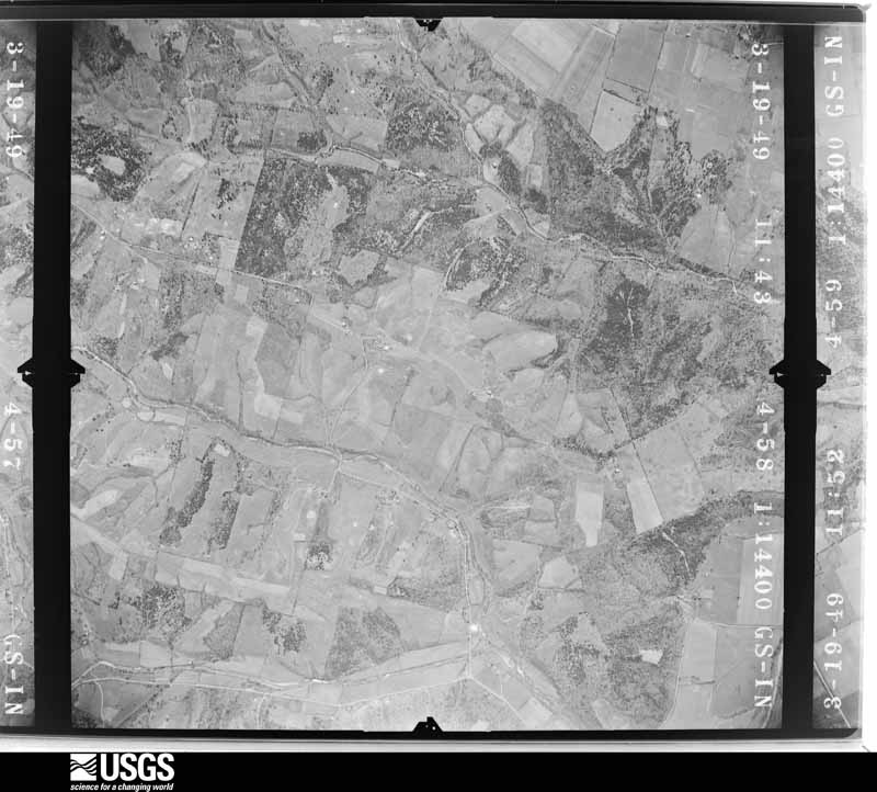
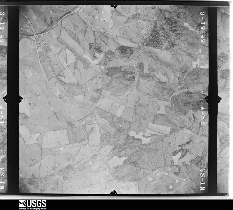
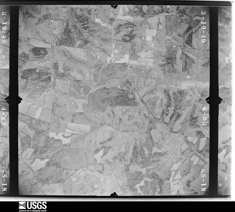
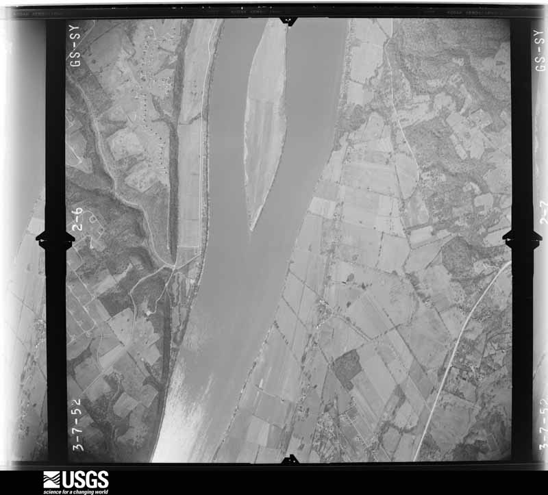
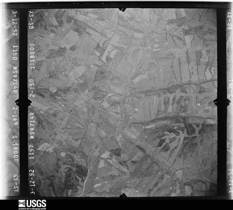
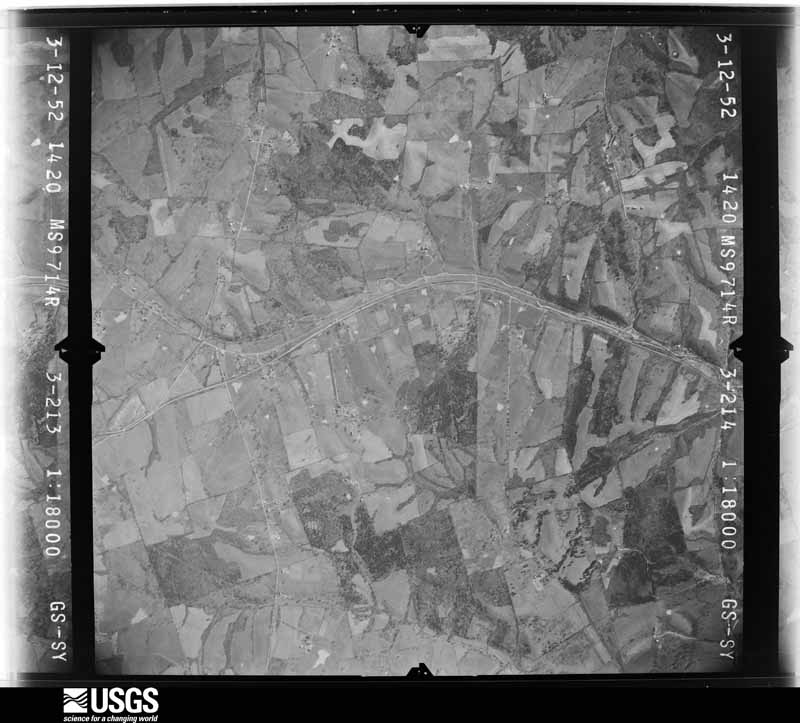
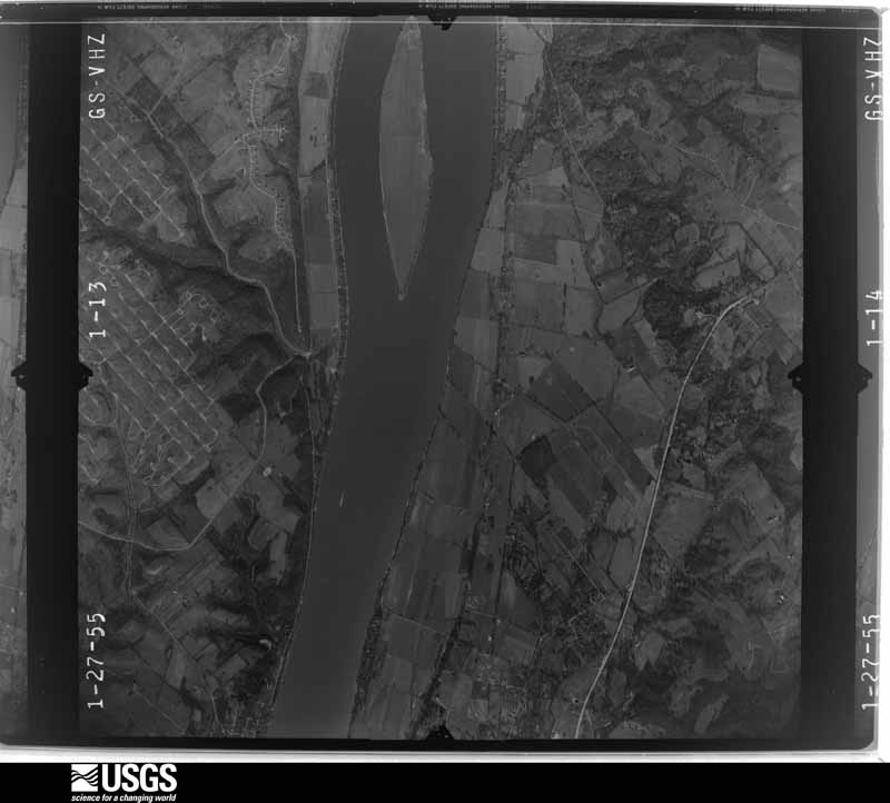
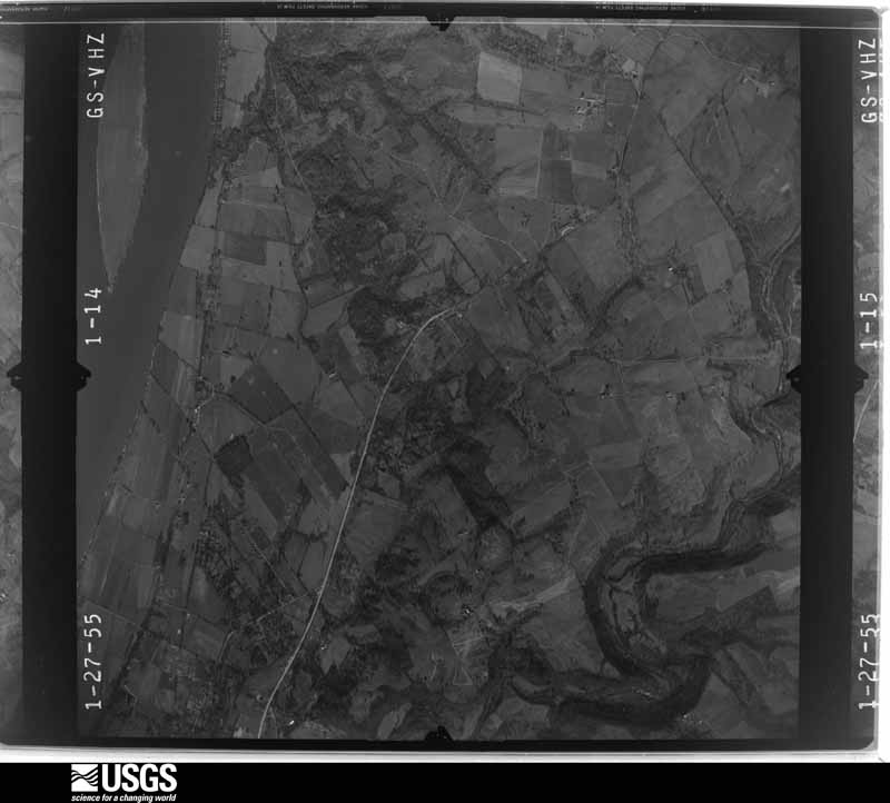
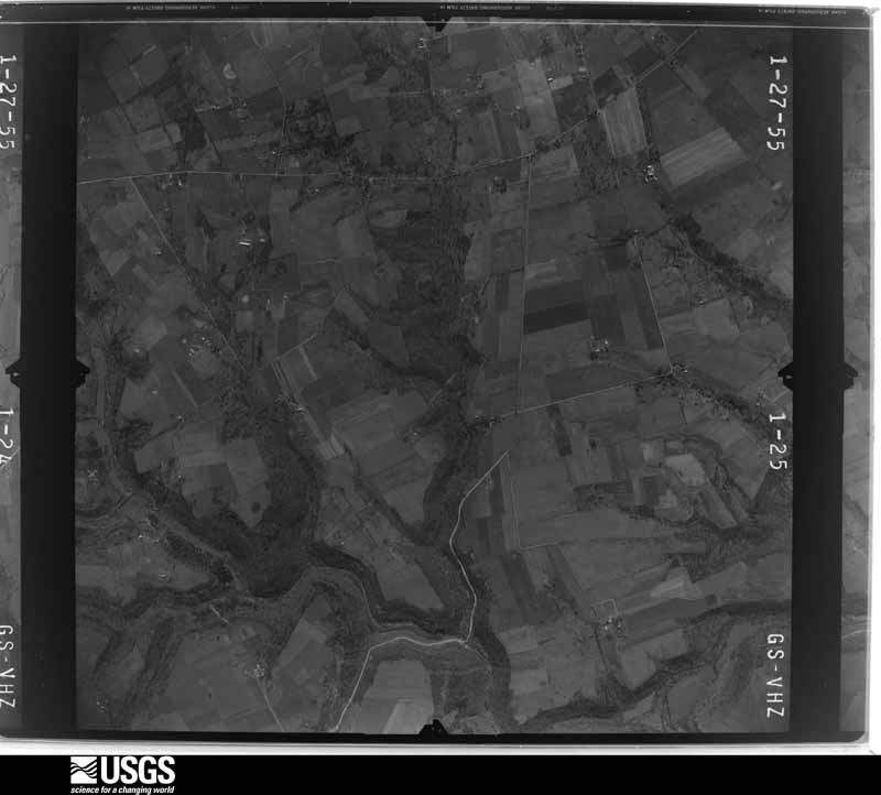
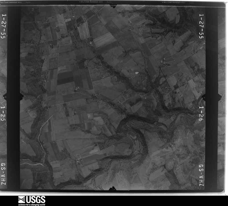
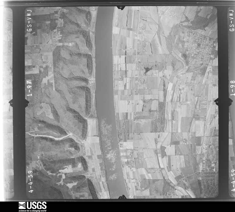
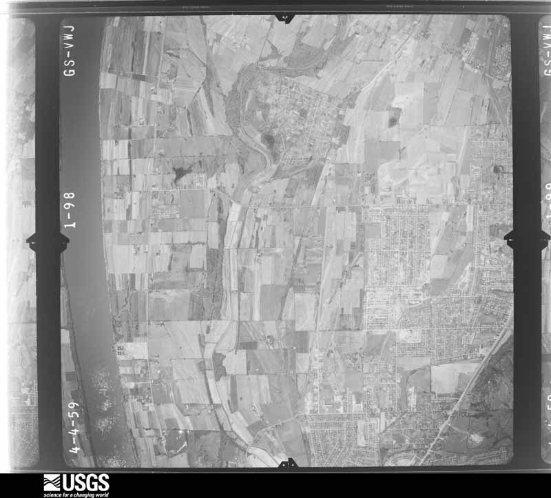
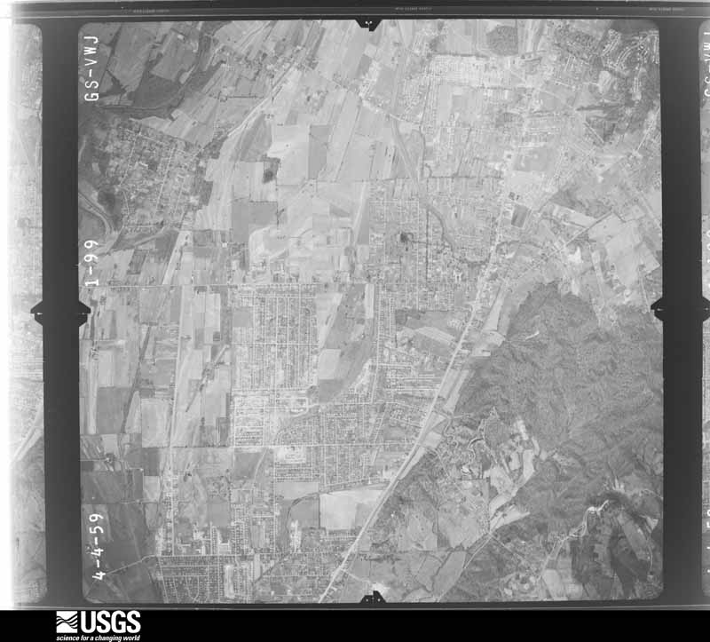
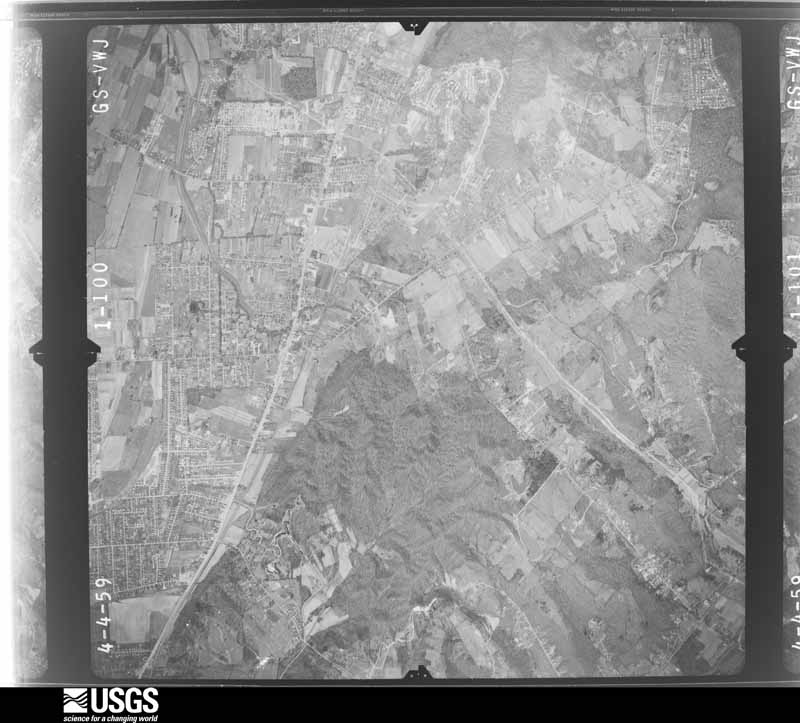
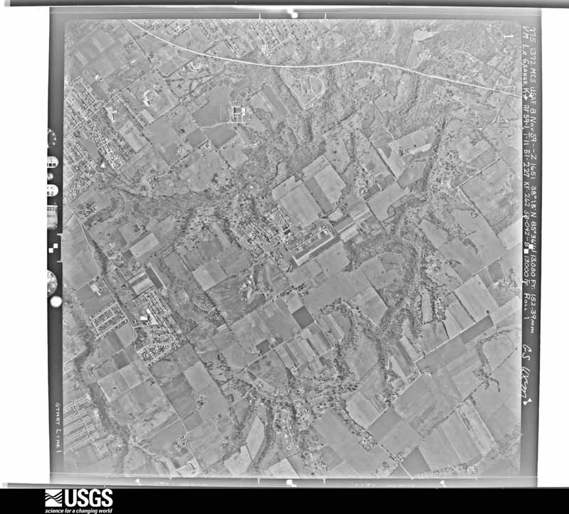
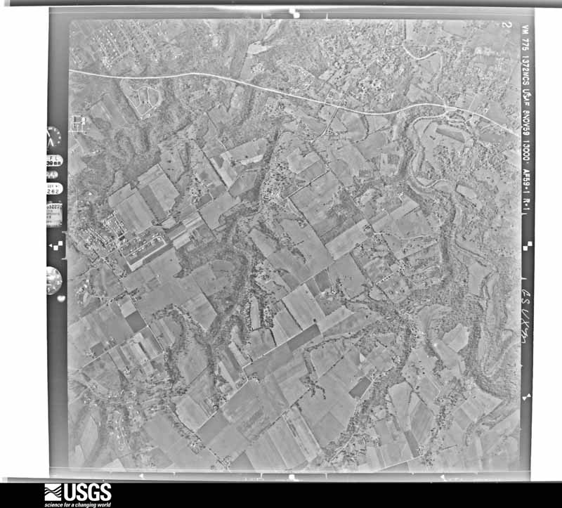
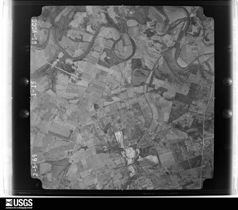
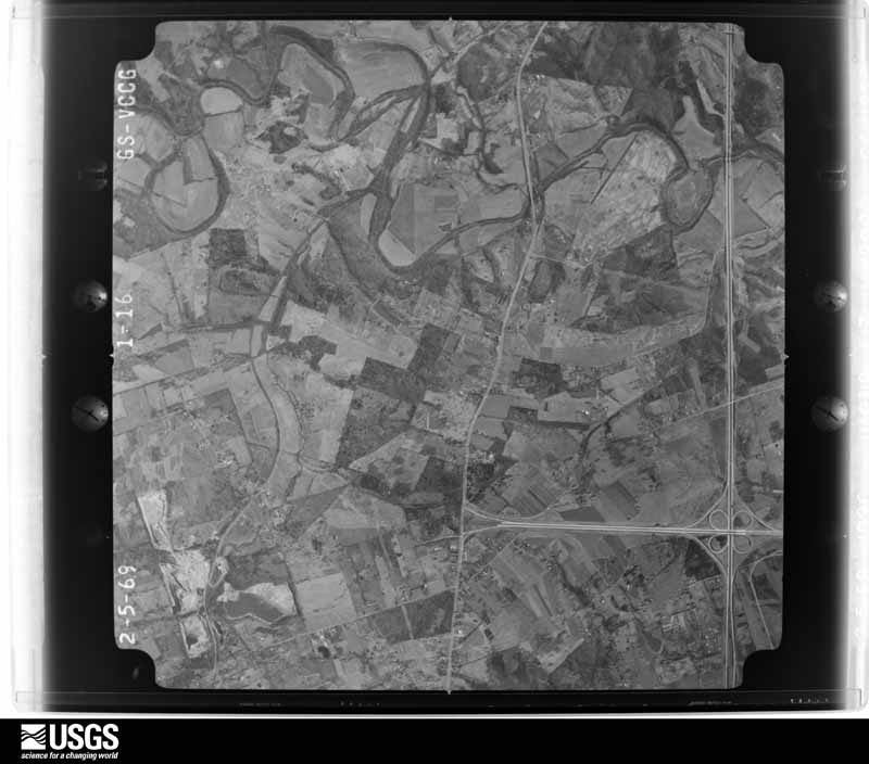
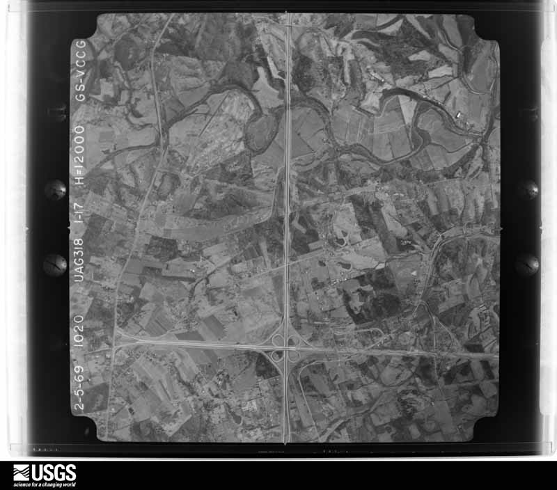
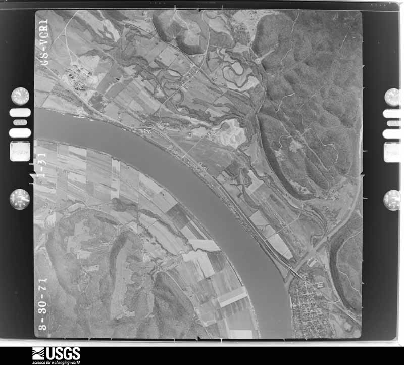
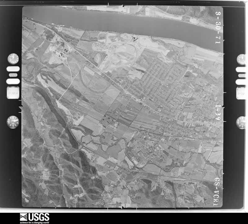
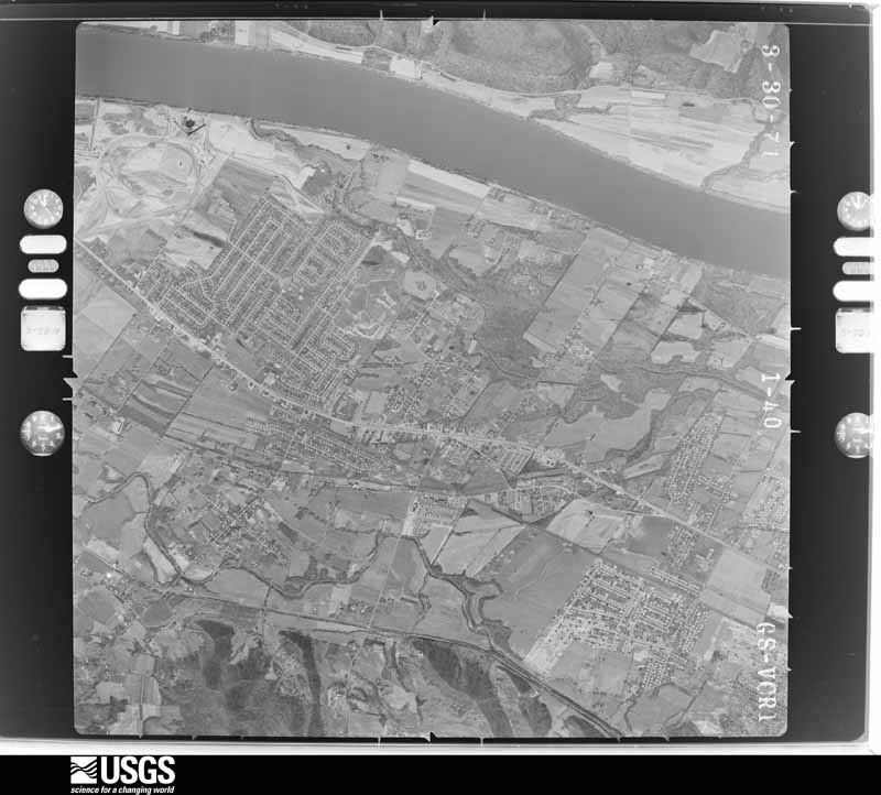
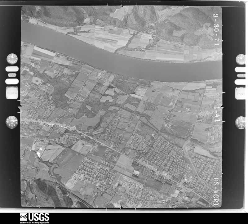
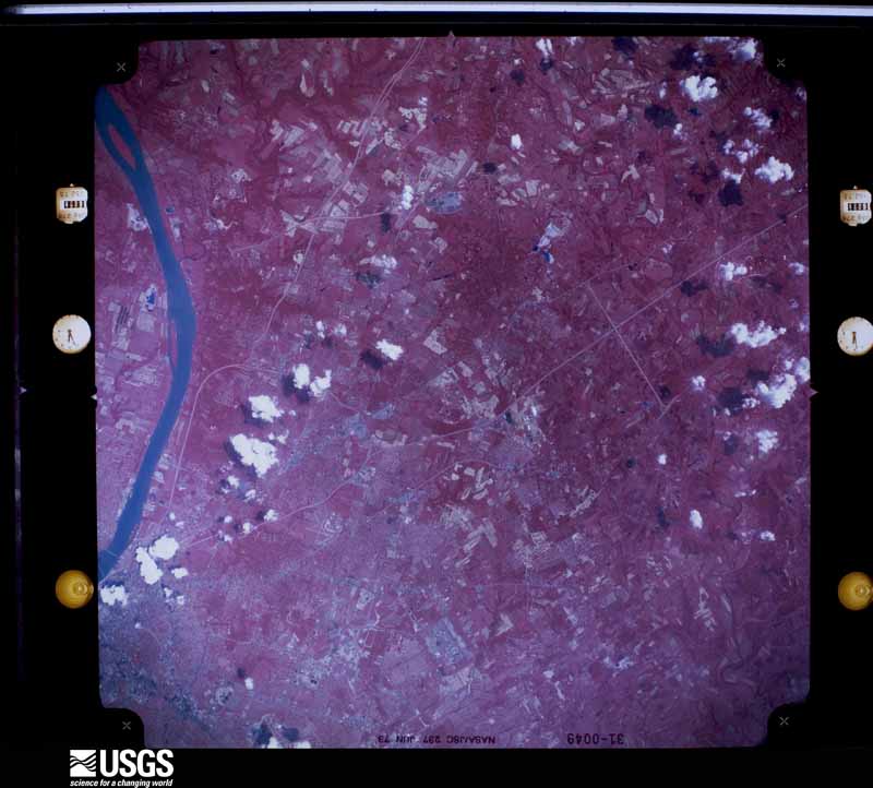
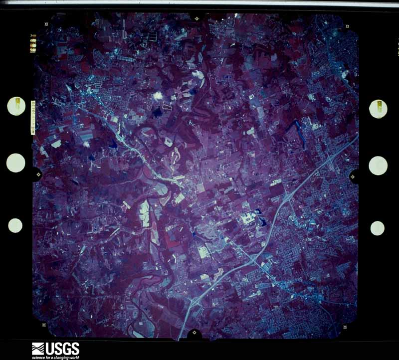
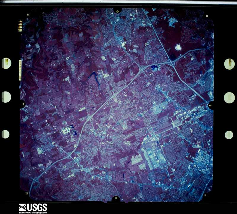
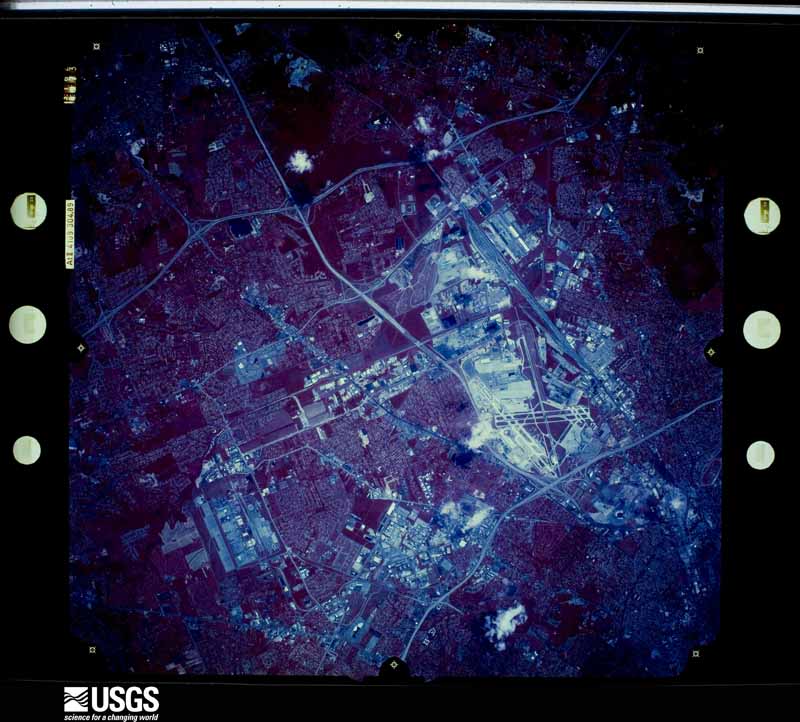
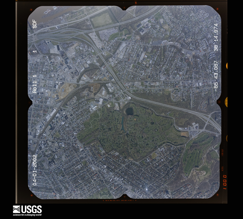
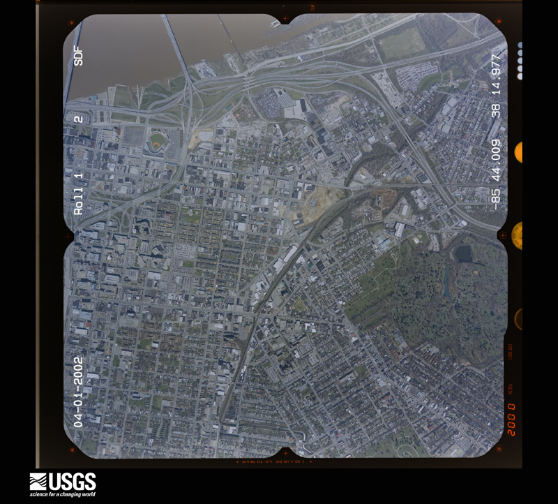
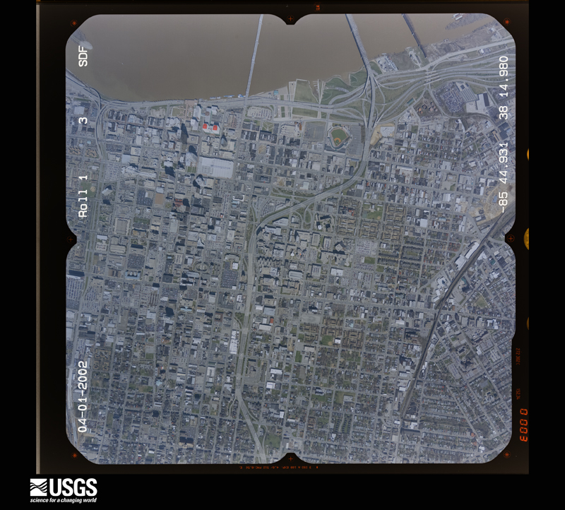
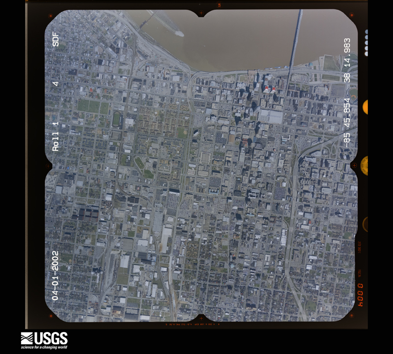
Flown by the U.S. Geological Survey between 1937 and 1989, the Aerial Photo Single Frames collection is the definitive mid-century view of the land: fields, roads and rivers as the camera saw them. The Survey holds 2,397 frames inside the rectangle that bounds this county; the 46 frames below were taken over the county itself, chosen across the decades of flights (at most four a year from that rectangle), so one flight cannot crowd out the rest. The full set is free to browse and download at EarthExplorer under the dataset Aerial Photo Single Frames.

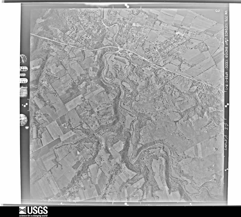
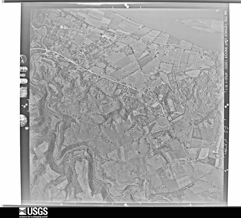
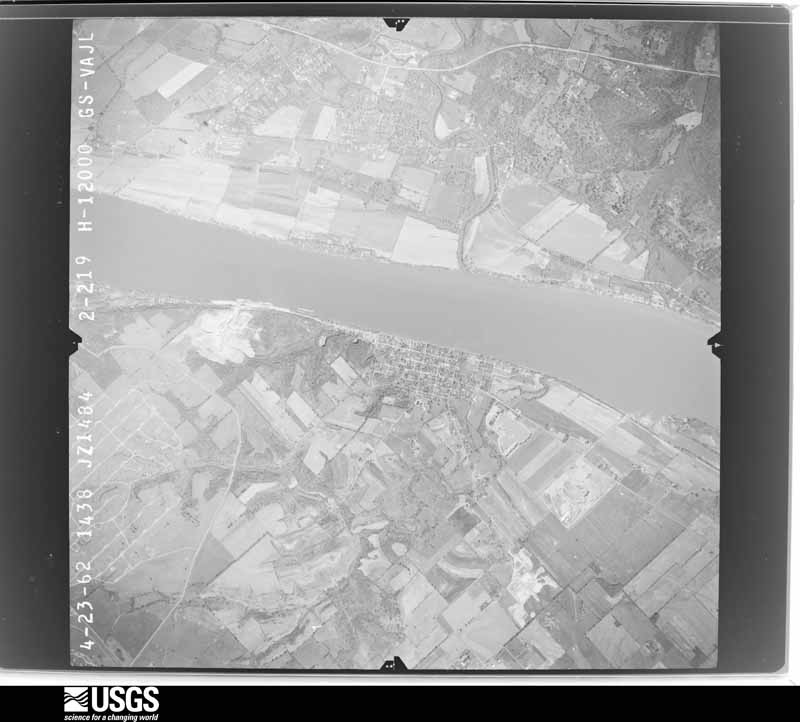
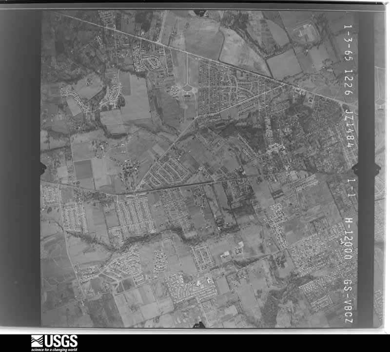
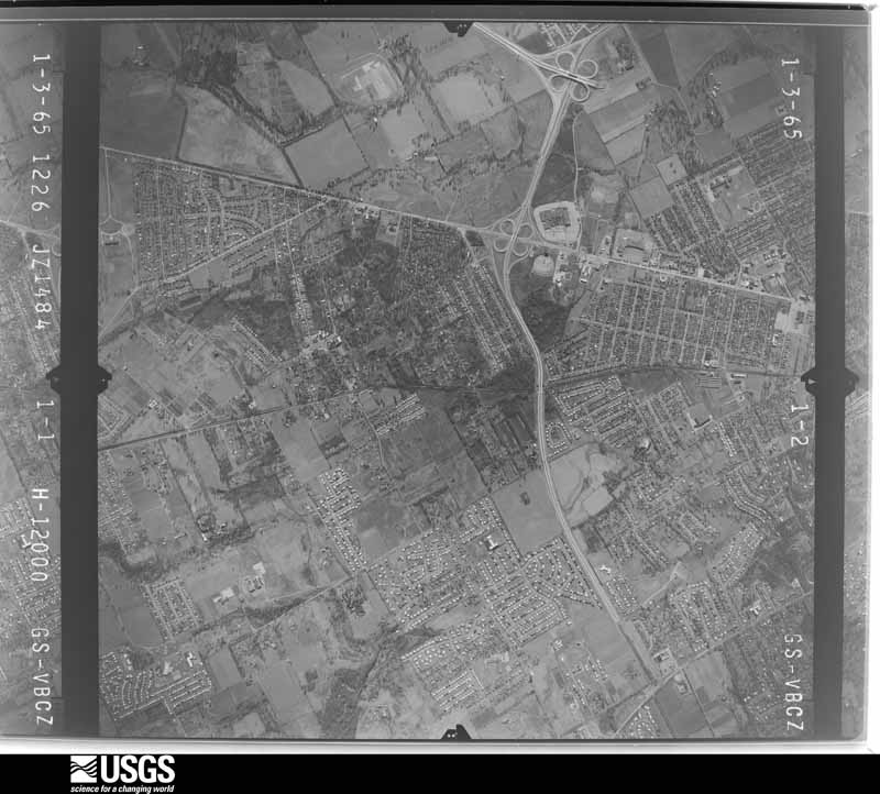
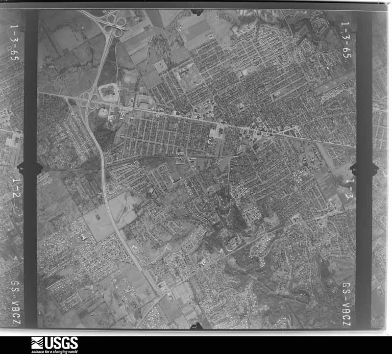
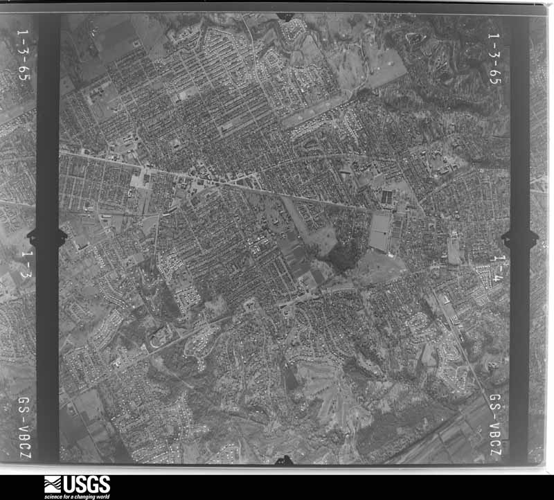
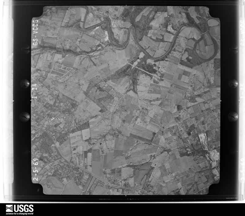





The thermometers that kept this county's weather, and the gages that measured the flow of its streams, as the federal records hold them. The extremes below are measured values from those records, not estimates.
Who lived here in 1950, one enumeration district at a time, as the Census Bureau described each district. Each row opens its official National Archives result, with Population Schedules and ED Maps available there.
Every wildfire the federal occurrence database records inside this county: 7 of them, burning about 52 acres. 2 started naturally and none was recorded as arson. Each settlement page carries the fires within five miles of it.
| Reported cause | Fires |
|---|---|
| Missing data/not specified/undetermined | 2 |
| Recreation and ceremony | 2 |
| Natural | 2 |
| Debris and open burning | 1 |
The five largest, by the area the report gives. None of them was recorded as arson.
| Date | Cause | Size | Reported by | Name on the report |
|---|---|---|---|---|
| 22 November 2010 | Recreation and ceremony | 17 acres | Kentucky Division of Forestry | BLEVINS GAP |
| 10 April 2011 | Natural | 11 acres | Kentucky Division of Forestry | BEARCAMP RD. FIRE |
| 14 March 2014 | Missing data/not specified/undetermined | 10 acres | Kentucky Division of Forestry | BROAD RUN |
| 12 March 2007 | Recreation and ceremony | 8.0 acres | Kentucky Division of Forestry | not named |
| 27 February 2006 | Missing data/not specified/undetermined | 4.0 acres | Kentucky Division of Forestry | not named |
| 20 August 2020 | Natural | 1.0 acres | Kentucky Division of Forestry | FAIRDALE HIGH FIRE |
| 3 October 2001 | Debris and open burning | 1.0 acres | Kentucky Division of Forestry | not named |
Every settlement page carries the fires within five miles of it - see the settlement index below.
The NOAA Storm Events Database holds 1,159 reports for this county, causing 8 deaths, 259 injuries and about $78,507,600 in recorded property damage. Each settlement page carries the reports that name it.
| Kind of event | Reports |
|---|---|
| Thunderstorm Wind | 661 |
| Hail | 207 |
| Flash Flood | 166 |
| Flood | 56 |
| Tornado | 34 |
| Lightning | 24 |
| Heavy Rain | 10 |
| Funnel Cloud | 1 |
The most serious of them, by death, then injury, then recorded damage. The accounts are quoted exactly as the forecast office filed them.
| When | Event | Place named | Harm | What the report says |
|---|---|---|---|---|
| April 1974 | Tornado (F4) | not stated | 3 killed, 225 hurt | no account filed |
| April 2000 | Thunderstorm Wind | Louisville | 1 killed, $15,000 | An elderly woman was killed when a tree was blown on to a mobile home at the Pioneer Mobile Home Park. |
| September 2018 | Flash Flood | Louisville | 1 killed, $10,000 | A Yellow Cab taxi driver tried to drive through standing water underneath a railroad overpass at 13th Street and Oak Street. When the vehicle he was driving stalled, the driver made several calls to 911, but provided an incorrect location for rescuers. He drowned due to the quickly rising flood waters in that low spot. |
| May 2024 | Thunderstorm Wind | Lyndon | 1 killed | A large swath of straight line wind damage was observed across northeastern parts of Louisville, consistent with 75 to 80 mph winds. Numerous trees and power lines were downed by strong winds across the city. A 34 year old man was killed by debris on Hobbs Station Road in Anchorage. |
| March 2015 | Flood | Harrods Creek | 1 killed | A 67-year old male was preparing to leave his home along the banks of the Ohio River as flood waters rose on March 14. Before he could reach his car, however, the flood waters overcame him. He was found 6 days later not far from his home. |
| July 2013 | Thunderstorm Wind | Indian Hills | 1 killed | Thunderstorm winds in excess of 60 mph caused a large tree branch to fall on and kill a child at the intersection of Deerfield Avenue and Rudy lane. |
| April 2024 | Tornado (EF2) | Transylvania Beach | 22 hurt | The National Weather Service in Louisville surveyed storm damage in southeast Clark County IN, through far northeast Jefferson KY, and into western Oldham County. Specifically the tornado traveled just southeast of the Clark County Indiana Airport, east through Utica, crossing the Ohio River into Prospect, and lifting just east of the Sleepy Hollow Golf Course in Oldham County. The tornado was its strongest in Jefferson County, KY where it was an EF2 with 120 mph winds and 450 yards wide.||Jefferson County KY... As the tornado crossed the Ohio River, it strengthened and widened in Prospect KY. The Beechland Beach neighborhood had multiple homes with extensive damage. Three 2 stories well built homes had significant roof sections pulled|away, along with broken windows, air conditions twisted and torn off from side of homes. Three large pin oak trees were snapped and uprooted. One home had a collapsed back wall that faces against the path of the tornado. Damage in this neighborhood indicated that the tornado was an EF2 with 120 mph winds, and a|width of 400 yards. All homeowners heeded the tornado warning and sought shelter in a safe place.||From here, the tornado crossed through Hays Kennedy Park and into the northwest Prospect community and The Sutherlands neighborhood. Many homes incurred an array of roof damage, downed power lines, snapped power poles, uprooted trees, and trees |falling on homes. The tornado in this area was 110 mph, EF1, with maximum width of 450 yards. One homeowner on Shirley Avenue was trapped in his basement after a tree fell on his home. Surrounding neighbors worked to free the homeowner. Nearby a 7 foot large section of a locust tree was pulled away and thrown 20 yards and impaled in the ground some 4 feet. ||As the tornado cut through the Hunting Creek neighborhood, it strengthened to an EF2 with a maximum of 115 mph winds, with a width of 250 yards. Many trees had been uprooted or snapped, few homes had roof structures peeled back and two homes lost there entire roof. There was also mostly broken windows, inverted garage doors, blown mud and insulation around all 4 sides of the homes, and extensive shingle, gutter, and soffit damage. After passing through the neighborhood, the tornado exited Jefferson County into Oldham County. |
| May 1994 | Thunderstorm Wind | St. Matthews | 3 hurt, $500,000 | A severe weather spotter reported an overturned trailer and uprooted trees 5 to 10 miles East of Louisville. A meteorologist with WHAS-TV relayed a report of a twisted off sign being blown through a window of a Sizzler restaurant in the same vicinity as the overturned trailer, three people were injured. |
| July 1992 | Thunderstorm Wind | not stated | 2 hurt | no account filed |
| January 2012 | Tornado (EF1) | Indian Hills | 1 hurt, $300,000 | An EF-1 tornado with estimated winds of 95 mph did considerable damage along a nearly 8 mile path across the northeastern suburbs of Louisville. The twister first touched down just east of the intersection of Interstate 264 and Brownsboro Road. It did considerable roof damage to many homes to the south of Brownsboro Road and snapped numerous large trees which toppled onto the heavily traveled roadway near Ten Broeck Way. After briefly lifting over a shopping complex near the intersection of Brownsboro and Hurstbourne Roads, the tornado touched down again, tearing a large exterior wall from an indoor tennis facility, then flipped two semi trailers as it crossed Interstate 265, injuring the driver of one. After crossing the interstate, it continued to skip northeast for another 4 miles into Oldham County, doing primarily roof damage in addition to snapping and uprooting taller trees. The last major damage occurred near the corner of Ballardsville Rd and Murphy Lane, where the roof of a large horse barn was partially torn off. |
| March 1964 | Tornado (F2) | not stated | 1 hurt, $250,000 | no account filed |
| May 2004 | Thunderstorm Wind | Fairdale | 1 hurt, $150,000 | At the Autumn Lake mobile home park, around six mobile homes received extensive damage. A man was taken to the hospital with a back injury. Numerous trees were downed. |
| March 2025 | Tornado (EF1) | Fairdale | 1 hurt | The National Weather Service conducted a storm survey for south Louisville near the Fairdale community and determined an EF-1 tornado with maximum winds of 100 mph occurred the evening of March 30th, 2025. The tornado had a path length of 5.43 miles and a width of 30 yards. ||Minor tree damage and structural damage was observed just south of the Gene Snyder Freeway off the Stonestreet exit along Bear Camp road and Blevins Gap Road and was determined to be straight line wind damage. The first observable tornado damage was along Mitchell Hill Road and Keys Ferry Road near Fairdale Elementary School. Large branches were snapped and twisted in varying directions within the tree, as well as trees snapped with a rolled shed nearby. Some of the most notable damage occurred near a few homes along Mitchell Hill Road, where several trees were twisted, uprooted, and snapped. Winds in this location were determined to have been between 85 and 100 mph. An injury was reported to have happened to a resident in this vicinity, where a man was trying to hold a door closed when the wind was strong and hurt his arm.||The tornado continued across Mitchell Hill Road across neighborhoods where several properties observed tree damage and fence damage. The most notable damage was to a garage that was moved off a foundation with estimated wind speeds of 97 mph. The |tornado continued across Mount Holly Road and did damage near a church. A garage lost roofing material and it was lofted into nearby trees. Pockets of tree damage occurred along Wilson Creek and continued near Holly Avenue. Damage occurred to a garage barn where much of the building was destroyed and several wood planks |were impaled in the back and front of a nearby residence. ||The tornado continued across the National Turnpike roadway and impacted a brick one story residence, where the tornado hit with such force that the brick was damaged and the windows were broken out of the home. Portions of the roof were lofted well into the |distance, including the garage barn behind the property. Estimated wind speeds of 100 mph occurred at this location. The tornado continued across South Park Road where garage damage was observed and twisted large branches in trees. The tornado continued eastward where several trees and structure damage was observed |along Barricks Road (just south of Hillview Drive) where the tornado continued to produce estimated wind speeds of between 90 and 100 mph.||Across I-65 the tornado worked into an industrial park between Blue Lick Rd and Preston Hwy south of Interchange Dr. There were a few trees damaged with one notable tree that was split with the large branches blown to the west of the tree. There were visible marks on the ground where the branches had landed and dragged |across the ground for about 3 to 4 feet towards the west after hitting the ground. Wind speeds were between 60 and 75 mph in these locations, and no observable damage was seen beyond this point. |
| July 1987 | Thunderstorm Wind | not stated | 1 hurt | no account filed |
| June 1987 | Thunderstorm Wind | not stated | 1 hurt | no account filed |
| June 1986 | Thunderstorm Wind | not stated | 1 hurt | no account filed |
| August 2009 | Flash Flood | St Dennis | $45,000,000 | Most of the downtown Louisville area received flooding with many commercial buildings in the immediate downtown area having damage. Numerous homes on the west side of town were also damaged. Some of these damage reports follow. ||The 800 Building in downtown Louisville had cars submerged in its parking lot. Churchill Downs Museum and track facilities received damaging flood waters. The entire basement of the Louisville Free Public Library was inundated with water causing damage to books, computers, vehicles, and other items. Many roads in the downtown area had several feet of water covering them, with residential buildings taking on water in basements. The University of Louisville campus had several building damaged and flooded and water rescues had to be performed. Four of the U of L classroom buildings were closed for more than a month, resulting in a shuffling of numerous classroom locations. Interstates 64, 65 and 264 were all closed for a period of time due to high water. Other water rescues were performed downtown as people became stranded in vehicles during rush hour traffic. |
| May 1996 | Hail | Louisville | $20,000,000 | no account filed |
| January 2008 | Tornado (EF1) | Louisville | $3,000,000 | A fast moving EF-1 tornado briefly touched down four times in the Louisville Metro area as a squall line crossed the city. The tornado was on the ground for approximately 1.5 miles over the course of it's 16 mile long track. The first touchdown was in and industrial area just off Millers Lane west of the Dixie Highway. The tornado stayed on the ground for one mile before lifting, heavily damaging a church on Dixie Highway, as well as uprooting and snapping several trees and damaging numerous homes. The tornado then dipped to earth again on the west side of the University of Louisville campus, breaking out many windows in a large residence hall and nearby building, and damaging several vehicles parked nearby. The next touchdown happened in Saint Matthews near the intersection of Shelbyville Road and Interstate 264, where extensive damage was suffered by many businesses and private properties. The fourth and final touchdown was in Anchorage where many trees were damaged, blown over, and uprooted, roofs were damaged, and a large outbuilding at a training school was destroyed. Widespread downburst wind damage occurred mainly to the south of the tornado's path as the squall line moved across the city. |
| June 2018 | Tornado (EF1) | Ballardsville | $500,000 | This tornado touched down at the entrance of Westport Woods Apartments. Across from the complex numerous trees were snapped or topped off. On pacelli Place parts of trees were thrown into two houses, puncturing the siding. Most of the damage was high end EF0 around 85mph with much of the damage being 20 to 50 yards off the ground.||There were some hardwood trees uprooted and parts of them fell onto homes, fences, trampolines, and swing sets. Besides trees being twisted and turned in multiple directions, there was leaf and mud spattering on several homes in opposite directions of the storm movement. Intermittent tree top damage continued near Lake Louisvilla. At Westport Business Center there was significant roof damage with portions of the roofing material and parts of the roof supports 20 to 50 yards downwind and several windows blown out. At Ceva Logistics a large section of the north wall was pushed out due to 75-80 mph winds.||The tornado struck the north portion of Westport Bend Commerce Park, snapping and bending several trees. The tornado began to skip and struck a few trees in Forest Springs North before moving into Oldham County. |
| April 2015 | Flash Flood | Audubon Park | $500,000 | Louisville MetroSafe reported over 160 high water rescues due to the 6 to 8 inches of rain that fell across the county. |
| September 2006 | Flash Flood | Countywide | $500,000 | The Bent Creek Apartments in the Buechel area were flooded. More that 100 residents had to be evacuated to an area shelter. Interstate 64 between Cannons Lane and Interstate 71 was closed. Water covered many roads in the vicinity of Veteran's Hospital in Louisville. Three feet of water covered 29th Street. Two to three feet of water covered Brownsboro Road about half a mile east of the Mellwood Avenue intersection. Water rescues were conducted in the Lake Forrest area and in Jeffersontown. Old Henry Road was flooded and impassable. |
| June 1994 | Thunderstorm Wind | not stated | $500,000 | Numerous power lines were blown over onto Preston Highway in Louisville. |
| February 2018 | Flood | Indian Hills | $400,000 | High water from significant backwater flooding closed River Road around Zorn Avenue and Frankfort Avenue near River Road. Cherokee Park also experienced extensive flooding. Road damage included erosion, washout, broken pavement, and mudslides. |
| June 2011 | Tornado (EF2) | Louisville | $400,000 | This tornado touched down just southwest of an area of horse barns on the south side of Churchill Downs. Five barns, which also contained apartments for many workers, had major sections of their roofs removed, with minor damage to several others. In the buildings most heavily damaged, parts of supporting walls made from cinder blocks collapsed. Christ Church, located on the Churchill Downs property, also had roof and siding damage. After snapping trees and downing power lines for several blocks to the east of Churchill, the tornado crossed a large stadium parking lot, strengthening to low-end EF-2 intensity near the intersection of Floyd Street and Central Avenue. At this location, just 300 yards southeast of the University of Louisville's football stadium, a large industrial building was heavily damaged, with a collapsed 2-story cinder block wall and a 150-foot section of roof removed from the warehouse. A 30' x 80' section of roof over an adjacent office building was also torn off. The tornado downed several more trees and did minor roof damage to a Super 8 Motel and other office buildings before lifting north of the intersection of Crittenden Drive and Central Avenue near an entrance ramp onto Interstate 65. ||Despite the most heavily damaged Churchill Downs buildings being occupied by numerous racing horses and at least three workers at the time of the tornado, no injuries were sustained by either the animals or their handlers. One man was in an upstairs room when the roof above him was ripped off, while two others were in in a ground-floor apartment where cinder blocks fell from an exterior wall. |
| March 2012 | Tornado (EF1) | Thixton | $300,000 | The tornado touched down just north of the intersection of Cedar Creek and Mount Washington Roads, located around one and one half miles southeast of Quail Chase Golf Course in southeast Louisville. It moved north-northeast, crossing Cedar Creek Road several times. Near Brook Chase Court, the tornado totally destroyed one modular home, knocking it off its foundation and pancaking the first floor under the second level. One well-built brick home had it roof taken off. Numerous other homes along the path sustained damage to their roofs, siding and windows. The tornado was rated a strong EF-1, with estimated winds of 105 to 110 mph. The maximum width of the tornado was 70 yards, but during most of its path it was 40-50 yards wide. |
| September 2020 | Flash Flood | Jeffersontown | $250,000 | A culvert under the 10200 block of Bunsen Way washed away. Cost of damage estimated. |
| July 2015 | Flash Flood | Windy Hills | $250,000 | Public reports continued to identify numerous locations of street flooding and impassable roadways across eastern Louisville metro. Social media pictures confirmed many cars partially submerged in high water near the Oxmoor Mall area. Between 3 and 5 inches of rain fell in a 3 hour period. Approximately 25 water rescues took place across the county during that morning. |
| January 2006 | Tornado (F1) | St Dennis | $250,000 | no account filed |
| March 1964 | Tornado (F2) | not stated | $250,000 | no account filed |
| February 2018 | Flash Flood | Louisville | $200,000 | Public reported flash flooding in the Louisville metro. Several roads experienced erosion, sinkholes, and broken pavement. |
| August 2009 | Lightning | Audubon Park | $200,000 | Lightning started a four alarm apartment fire on Hurstbourne Parkway near I-64. |
| May 1996 | Thunderstorm Wind | Middletown | $200,000 | no account filed |
| June 2011 | Tornado (EF2) | Jeffersontown | $175,000 | The public reported a second tornado touchdown near the same time and location where the first one ended. After touching down just east of Saint Edward Catholic Church on Sue Helen Drive, this tornado uprooted trees and damaged the roofs of around one dozen homes along Saint Edwards Drive. Damage also was surveyed along Charlane Parkway and Dell Road. At the corner of Maple Road and Galene Drive, a large section of an oak tree split and was driven into a wall at Tully School. Low end EF-2 structural and roof damage was also noted at at the Good Samaritan Society Nursing Home. Two vehicles in a parking lot were flipped and moved 25 feet. After briefly lifting, this tornado then damaged both Dillard's and Machinery Specialty's warehouses along Electron Drive. The brick facades of both building were pushed out. After throwing a small shed 30 yards near the Dillard's Warehouse, the twister lifted just near the intersection of Electron Drive and Ampere Drive. |
| June 2011 | Tornado (EF1) | Strathmoor Manor | $150,000 | This tornado was the first of three separate touchdowns associated with a single supercell that tracked across the southern portion of Jefferson County. Initially, this tornado touched down at EF-0 strength near the intersection of Nachand Lane and Nachand Spring Lane where minor shingle damage and snapped trees were surveyed. After moving into the Hurstbourne Woods subdivision, the twister damaged a locked pool gate and blew it 35 yards downwind. This subdivision sustained EF-1 damage with gutters, soffits, and siding from various structures deposited in trees. At 9407 Willowwood Way, roof damage was noted, along with many uprooted hardwood and softwood trees. After making a brief 25 degree northward turn near the end of its life, the tornado brought minor roof damage before lifting near the intersection of Lisa Lane and Calais Drive. |
| October 2002 | Tornado (F1) | Louisville | $150,000 | A riverboat captain spotted a waterspout on the Ohio River near Louisville. It moved inland over eastern Jefferson County, touching down intermittently. It knocked down trees and blew the roofs off several homes in the Springhurst area in northeast Jefferson County. The back side of the clubhouse at the Indian Springs Country Club was blown out. Thunderstorm winds downed trees over parts of eastern Jefferson County near the path of the tornado. |
| May 2019 | Thunderstorm Wind | West Buechel | $100,000 | A tree fell on a home in Newburg. |
| June 2018 | Thunderstorm Wind | Louisville | $100,000 | Power was out in many parts of Louisville due to trees taking power lines down. |
| February 2018 | Flood | Richlawn | $100,000 | Middle fork branch of Beargrass Creek rose out its bank and onto the roadway at Oxmoor Mall. Road damages included erosion and broken pavement. |
| March 2017 | Thunderstorm Wind | Audubon Park | $100,000 | A trained spotter reported power poles bent over along Crittenden Drive. |
| July 2015 | Flash Flood | Indian Hills | $100,000 | A broadcast meteorologist relayed a report of high water and flash flooding in the Windy Hills neighborhood in eastern Louisville metro. Between 3 and 5 inches of rain fell in a 3 hour period. Approximately 25 water rescues occurred in Jefferson County during that morning. |
| October 2013 | Flash Flood | Louisville | $100,000 | Numerous reports of flash flooding developed across metropolitan Louisville. Several people were rescued from their vehicles in Okolona, Douglass Hills, Edgewood, and Jeffersontown. Flowing water reached the tire tops of several automobiless along Ormsby Lane. |
| July 2012 | Lightning | Audubon Park | $100,000 | Louisville emergency management reported that lightning started three separate house fires and two apartment fires within a 5 minute period. |
| April 2005 | Tornado (F0) | Louisville | $100,000 | The tornado first touched down near the intersection of Campbell and Market Streets, where the roof on a business was destroyed, and a telephone pole was snapped. An empty trailer was flipped over near this location. The Stockyard Farm Supply Company on South Johnson Street sustained roof damage. |
| May 2004 | Tornado (F0) | Fern Creek | $100,000 | A weak tornado touched down just east of Bardstown Road near the entrance to the Glenmary subdivision. Significant large tree damage occurred. Roofs showed minor structural damage, but most damage was due to structures being hit by falling trees. The tornado lifted just east of the subdivision, and a funnel cloud was reported near the Gene Snyder Freeway and Billtown Road. |
| May 1996 | Thunderstorm Wind | Countywide | $100,000 | no account filed |
| July 2012 | Thunderstorm Wind | (Sdf)Staniford Fld L | $90,000 | The ASOS measured a 64 mph wind gust at Standiford International Airport. The storm that produced this strong downburst downed many trees in the neighborhood and removed a portion of the Crown Plaza Hotel roof. This hotel is located just north of the airport. |
| July 2012 | Lightning | Audubon Park | $90,000 | Lightning struck a house on the 3900th block on third street. It started a fire in the basement that eventually consumed the house. Two people did not make it out of the house and died. |
| July 2014 | Thunderstorm Wind | Windy Hills | $80,000 | A storm survey revealed that a localized downburst with winds estimated between 65 and 70 mph downed numerous trees and power poles in the Lyndon neighborhood east of downtown Louisville. These winds brought damage to a one square mile area centered around the Westport Condominiums. At Westport, several mature trees were toppled, damaging at least 3 vehicles. Nearby, winds damaged a house at the intersection of Washburn and Finley Avenues. A tree fell on a van at the intersection of Westport Road and Herr Lane. The survey recorded 13 power poles damaged and 10 trees downed. Overall, over 10,000 residents lost power. |
| May 2016 | Thunderstorm Wind | Louisville | $75,000 | A very localized microburst occurred in downtown Louisville. Thunderstorm winds were estimated to be between 70 and 75 mph, which caused part of the roofing of the Louisville Gardens to be peeled off and thrown to the east. Parts of this roofing material landed on an unoccupied vehicle. |
| January 2013 | Tornado (EF0) | Valley Vlg | $75,000 | An EF-0 tornado that started in Harrison County, Indiana and crossed the Ohio River ended in the Pleasure Ridge Park area of southwest Louisville. The total path length in Kentucky was 2.25 miles. Overall, the entire path length of this tornado, including the portion in Indiana, was 2.8 miles. While in Kentucky, this twister did roof and siding damage to many homes in the Greenridge Estates subdivision in addition to uprooting several trees. |
| June 2011 | Tornado (EF1) | Tucker Station | $75,000 | The last in a series of tornadoes spawned by the same storm touched down near the intersection of Electron and Ampere Drives, near the same location that the second twister lifted. This tornado was intermittently on the ground for 3.5 miles, crossing Interstate 265 and lifting just east of 1600 South English Station Road. Near the touchdown point, an air-conditioning unit was blown off the roof of JCK Enterprises. Several corporate buildings and warehouses on Electron Drive had roof and siding damage. EF-1 damage to some steel framing and stucco was noted at the Oxmoor Collision Center and the RBI Corporation. More than one dozen trees were uprooted around the Tucker House Bed and Breakfast on Tucker Station Road. The public reported a rope like tornado lifting just west of Interstate 265 and touching down again near 1600 South English Station Road. EF-0 damage was noted to several trees and a satellite dish at this location. |
| July 2008 | Lightning | Audubon Park | $75,000 | Lightning started a large house fire in the Lake Forest area. |
| August 2003 | Thunderstorm Wind | Harrods Creek | $75,000 | Numerous trees and power lines were downed. Three vehicles were destroyed when trees were blown on to them. Thirteen thousand customers were without power throughout Jefferson County. |
| April 2003 | Thunderstorm Wind | Pleasure Ridge Park | $75,000 | A tree was blown on to a house near St. Andrews Church Road. Another tree was struck by lightning and fell on to a house. A minor house fire occurred when trees were blown on to power lines. Numerous trees and power lines were downed, and up to 27000 county residents were without power. |
| July 2001 | Thunderstorm Wind | Louisville | $75,000 | A section of steel roof was peeled off a hangar at the Louisville International Airport. |
| June 2018 | Thunderstorm Wind | Ballardsville | $50,000 | There was a tree down on a roof. |
| July 2018 | Thunderstorm Wind | St Matthews | $50,000 | There was a tree on a house at Alton Road and Sherrin Avenue in St. Matthews. |
| June 2017 | Thunderstorm Wind | Highlands | $50,000 | A large tree fell on a vehicle and also a home resulting in structural damage. |
| August 2016 | Thunderstorm Wind | Shively | $50,000 | Local broadcast media reported trees down on 3 houses on Churchman Avenue. |
The Survey's mineral resources record lists 13 workings inside this county. 9 still produce and 4 are closed or unrecorded. Each settlement page carries the workings within five miles of it.
| Commodity | Workings |
|---|---|
| Sand and Gravel, Construction | 5 |
| Stone, Crushed/Broken | 4 |
| Stone | 2 |
| Clay | 1 |
| Lead | 1 |
The least common of them first, because a county's hundredth gravel pit says nothing its first ten did not.
| Where | Site | Commodity | Status | Recorded |
|---|---|---|---|---|
| Coral Ridge | Clay | Producer | ||
| Globe Union/ Louisville, Ky. | Lead | Unknown | ||
| Kosmos Cement Division | Stone | Producer | ||
| Kosmosdale Pit | Stone | Producer | ||
| Avoca Quarry | Stone, Crushed/Broken | Producer | ||
| Fern Creek Stone | Stone, Crushed/Broken | Producer | ||
| Louisville Crushed Stone Mine | Stone, Crushed/Broken | Past Producer | ||
| Okolona Quarry | Stone, Crushed/Broken | Producer | ||
| Alert Dredge | Sand and Gravel, Construction | Producer | ||
| First Street Yard | Sand and Gravel, Construction | Producer | ||
| Hel Del Dredge | Sand and Gravel, Construction | Producer | ||
| Martha E. Green Dredge | Sand and Gravel, Construction | Past Producer | ||
| Nugent Plant | Sand and Gravel, Construction | Past Producer |
Named settlements recorded in the Geographic Names Information System, each with the topographic sheets covering it. Villages, hamlets and abandoned places alike. Each is shown with the nearest named watercourse or landform and the survey quadrangle it falls on. The 4 places that were also surveyed for fire insurance come first, with the number of atlases and photographs held for them.
East Jefferson census division · 40223 · Anchorage quadrangle
16 sheets, 1905 to 1986
Fire insurance: 2 atlases
Southeast Jefferson census division · 40218 · Louisville East quadrangle
17 sheets, 1907 to 1986
Fire insurance: 2 atlases
Southeast Jefferson census division · 40299 · Jeffersontown quadrangle
17 sheets, 1907 to 1986
Fire insurance: 2 atlases
Louisville Central census division · 40202 · New Albany quadrangle
19 sheets, 1939 to 1992
Fire insurance: 34 atlases
South Jefferson census division · 40291 · On Little Cedar Creek · Jeffersontown quadrangle
17 sheets, 1907 to 1986
Pond Creek census division · 40214 · Near Finley Hill · Louisville West quadrangle
18 sheets, 1909 to 1998
Louisville East census division · 40213 · Louisville East quadrangle
17 sheets, 1907 to 1986
Northeast Jefferson census division · 40245 · Near Pleasant Hill · Crestwood quadrangle
12 sheets, 1932 to 1986
Northeast Jefferson census division · 40241 · Anchorage quadrangle
16 sheets, 1905 to 1986
Northeast Jefferson census division · 40245 · On Chenoweth Run · Crestwood quadrangle
12 sheets, 1932 to 1986
East Jefferson census division · 40059 · On Pond Creek · Jeffersonville quadrangle
21 sheets, 1905 to 1993
Louisville South census division · 40214 · Louisville West quadrangle
18 sheets, 1909 to 1998
Louisville East census division · 40207 · On Weicher Creek · Jeffersonville quadrangle
21 sheets, 1905 to 1993
Louisville East census division · 40207 · Jeffersonville quadrangle
21 sheets, 1905 to 1993
South Dixie census division · 40272 · On Black Pond Creek · Valley Station quadrangle
20 sheets, 1909 to 1993
Southeast Jefferson census division · 40223 · Jeffersontown quadrangle
17 sheets, 1907 to 1986
Southeast Jefferson census division · 40220 · Louisville East quadrangle
17 sheets, 1907 to 1986
Northeast Jefferson census division · 40245 · On South Long Run · Fisherville quadrangle
12 sheets, 1929 to 1986
Floyds Fork census division · 40291 · On Little Cedar Creek · Jeffersontown quadrangle
17 sheets, 1907 to 1986
Louisville East census division · 40207 · On Weicher Creek · Louisville East quadrangle
17 sheets, 1907 to 1986
East Jefferson census division · 40241 · Anchorage quadrangle
16 sheets, 1905 to 1986
Louisville East census division · 40207 · Jeffersonville quadrangle
21 sheets, 1905 to 1993
Southeast Jefferson census division · 40299 · Jeffersontown quadrangle
17 sheets, 1907 to 1986
No longer a settlement
Southeast Jefferson census division · 40220 · On Weicher Creek · Jeffersontown quadrangle
17 sheets, 1907 to 1986
Louisville East census division · 40213 · Louisville East quadrangle
17 sheets, 1907 to 1986
Louisville East census division · 40206 · Louisville East quadrangle
17 sheets, 1907 to 1986
Louisville East census division · 40207 · Jeffersonville quadrangle
21 sheets, 1905 to 1993
Louisville East census division · 40206 · On Muddy Fork · Jeffersonville quadrangle
21 sheets, 1905 to 1993
Northeast Jefferson census division · 40245 · Anchorage quadrangle
16 sheets, 1905 to 1986
South Jefferson census division · 40229 · Brooks quadrangle
17 sheets, 1907 to 1997
No longer a settlement
Pond Creek census division · 40118 · On Little Bee Lick Creek · Brooks quadrangle
17 sheets, 1907 to 1997
Louisville East census division · 40206 · On Muddy Fork · Jeffersonville quadrangle
21 sheets, 1905 to 1993
East Jefferson census division · 40222 · Jeffersonville quadrangle
21 sheets, 1905 to 1993
Southeast Jefferson census division · 40243 · Jeffersontown quadrangle
17 sheets, 1907 to 1986
Southeast Jefferson census division · 40243 · Jeffersontown quadrangle
17 sheets, 1907 to 1986
Southeast Jefferson census division · 40220 · Jeffersontown quadrangle
17 sheets, 1907 to 1986
Louisville East census division · 40207 · Jeffersonville quadrangle
21 sheets, 1905 to 1993
Floyds Fork census division · 40245 · On Brush Run · Fisherville quadrangle
12 sheets, 1929 to 1986
Pond Creek census division · 40118 · On Little Bee Lick Creek · Valley Station quadrangle
20 sheets, 1909 to 1993
Louisville East census division · 40207 · On Weicher Creek · Louisville East quadrangle
17 sheets, 1907 to 1986
South Jefferson census division · 40291 · On Big Run · Mount Washington quadrangle
15 sheets, 1907 to 1986
Southeast Jefferson census division · 40291 · Near Evergreen Hill · Jeffersontown quadrangle
17 sheets, 1907 to 1986
Northeast Jefferson census division · 40241 · Anchorage quadrangle
16 sheets, 1905 to 1986
Floyds Fork census division · 40023 · On Brush Run · Fisherville quadrangle
12 sheets, 1929 to 1986
Southeast Jefferson census division · 40299 · Jeffersontown quadrangle
17 sheets, 1907 to 1986
Louisville East census division · 40217 · Louisville East quadrangle
17 sheets, 1907 to 1986
Floyds Fork census division · 40291 · On Little Cedar Creek · Jeffersontown quadrangle
17 sheets, 1907 to 1986
East Jefferson census division · 40025 · On Goose Creek · Jeffersonville quadrangle
21 sheets, 1905 to 1993
East Jefferson census division · 40222 · On Little Goose Creek · Jeffersonville quadrangle
21 sheets, 1905 to 1993
East Jefferson census division · 40222 · On Little Goose Creek · Jeffersonville quadrangle
21 sheets, 1905 to 1993
East Jefferson census division · 40222 · On Little Goose Creek · Jeffersonville quadrangle
21 sheets, 1905 to 1993
East Jefferson census division · 40222 · Jeffersonville quadrangle
21 sheets, 1905 to 1993
East Jefferson census division · On Goose Creek · Jeffersonville quadrangle
21 sheets, 1905 to 1993
East Jefferson census division · 40222 · Anchorage quadrangle
16 sheets, 1905 to 1986
East Jefferson census division · 40241 · On Wolf Pen Branch · Anchorage quadrangle
16 sheets, 1905 to 1986
East Jefferson census division · 40059 · On Harrods Creek · Jeffersonville quadrangle
21 sheets, 1905 to 1993
East Jefferson census division · 40059 · On Harrods Creek · Jeffersonville quadrangle
21 sheets, 1905 to 1993
Louisville South census division · 40215 · Near Kenwood Hill · Louisville West quadrangle
18 sheets, 1909 to 1998
Louisville South census division · 40216 · Louisville West quadrangle
18 sheets, 1909 to 1998
Louisville Airport census division · 40219 · On Mud Creek · Brooks quadrangle
17 sheets, 1907 to 1997
Southeast Jefferson census division · 40220 · On Weicher Creek · Louisville East quadrangle
17 sheets, 1907 to 1986
Louisville Airport census division · 40209 · Louisville West quadrangle
18 sheets, 1909 to 1998
Louisville East census division · 40205 · Louisville East quadrangle
17 sheets, 1907 to 1986
Central Jefferson census division · 40228 · Jeffersontown quadrangle
17 sheets, 1907 to 1986
East Jefferson census division · 40241 · On Little Goose Creek · Anchorage quadrangle
16 sheets, 1905 to 1986
Central Jefferson census division · 40228 · Jeffersontown quadrangle
17 sheets, 1907 to 1986
Pond Creek census division · 40118 · Near Holsclaw Hill · Brooks quadrangle
17 sheets, 1907 to 1997
Floyds Fork census division · 40299 · On Pope Lick · Jeffersontown quadrangle
17 sheets, 1907 to 1986
Southeast Jefferson census division · 40220 · Jeffersontown quadrangle
17 sheets, 1907 to 1986
North Dixie census division · 40216 · On Big Run · Louisville West quadrangle
18 sheets, 1909 to 1998
Southeast Jefferson census division · 40222 · Jeffersontown quadrangle
17 sheets, 1907 to 1986
Southeast Jefferson census division · 40220 · Jeffersontown quadrangle
17 sheets, 1907 to 1986
East Jefferson census division · 40207 · Jeffersonville quadrangle
21 sheets, 1905 to 1993
East Jefferson census division · 40207 · Jeffersonville quadrangle
21 sheets, 1905 to 1993
Louisville South census division · 40215 · Louisville West quadrangle
18 sheets, 1909 to 1998
North Dixie census division · 40272 · On Black Pond Creek · Valley Station quadrangle
20 sheets, 1909 to 1993
East Jefferson census division · 40059 · On Goose Creek · Jeffersonville quadrangle
21 sheets, 1905 to 1993
Louisville South census division · 40214 · On Kenwood Hill · Louisville West quadrangle
18 sheets, 1909 to 1998
Louisville East census division · 40205 · Louisville East quadrangle
17 sheets, 1907 to 1986
Louisville Airport census division · 40213 · On Duck Spring Branch · Louisville East quadrangle
17 sheets, 1907 to 1986
Southeast Jefferson census division · 40220 · On Weicher Creek · Jeffersontown quadrangle
17 sheets, 1907 to 1986
Floyds Fork census division · 40023 · On South Long Run · Fisherville quadrangle
12 sheets, 1929 to 1986
East Jefferson census division · 40025 · Near Sixmile Island · Jeffersonville quadrangle
21 sheets, 1905 to 1993
Central Jefferson census division · 40228 · On Fern Creek · Louisville East quadrangle
17 sheets, 1907 to 1986
South Jefferson census division · 40228 · Mount Washington quadrangle
15 sheets, 1907 to 1986
No longer a settlement
Central Jefferson census division · 40213 · Louisville East quadrangle
17 sheets, 1907 to 1986
Southeast Jefferson census division · 40299 · Jeffersontown quadrangle
17 sheets, 1907 to 1986
East Jefferson census division · 40207 · Jeffersonville quadrangle
21 sheets, 1905 to 1993
South Dixie census division · 40272 · On Mill Creek · Kosmosdale quadrangle
20 sheets, 1909 to 1986
East Jefferson census division · 40223 · Anchorage quadrangle
16 sheets, 1905 to 1986
Southeast Jefferson census division · 40220 · On Weicher Creek · Louisville East quadrangle
17 sheets, 1907 to 1986
Pond Creek census division · 40272 · On Crane Run · Valley Station quadrangle
20 sheets, 1909 to 1993
East Jefferson census division · 40207 · Jeffersonville quadrangle
21 sheets, 1905 to 1993
Southeast Jefferson census division · 40243 · Jeffersontown quadrangle
17 sheets, 1907 to 1986
North Dixie census division · 40216 · On Mill Creek · Louisville West quadrangle
18 sheets, 1909 to 1998
East Jefferson census division · 40207 · Jeffersonville quadrangle
21 sheets, 1905 to 1993
Floyds Fork census division · 40245 · On South Long Run · Fisherville quadrangle
12 sheets, 1929 to 1986
Central Jefferson census division · 40228 · On Fern Creek · Louisville East quadrangle
17 sheets, 1907 to 1986
Pond Creek census division · 40214 · On Wilson Creek · Louisville West quadrangle
18 sheets, 1909 to 1998
No longer a settlement
Louisville East census division · 40207 · On Weicher Creek · Louisville East quadrangle
17 sheets, 1907 to 1986
East Jefferson census division · 40222 · Jeffersonville quadrangle
21 sheets, 1905 to 1993
Louisville South census division · 40215 · Louisville West quadrangle
18 sheets, 1909 to 1998
Central Jefferson census division · 40219 · On Fishpool Creek · Louisville East quadrangle
17 sheets, 1907 to 1986
East Jefferson census division · 40242 · Anchorage quadrangle
16 sheets, 1905 to 1986
Northeast Jefferson census division · 40245 · On Brush Run · Fisherville quadrangle
12 sheets, 1929 to 1986
South Dixie census division · 40272 · On Crane Run · Kosmosdale quadrangle
20 sheets, 1909 to 1986
Louisville West census division · 40211 · Louisville West quadrangle
18 sheets, 1909 to 1998
Louisville East census division · 40207 · On Weicher Creek · Louisville East quadrangle
17 sheets, 1907 to 1986
Louisville East census division · 40217 · Louisville East quadrangle
17 sheets, 1907 to 1986
Louisville South census division · 40214 · Near Red Stone Hill · Louisville West quadrangle
18 sheets, 1909 to 1998
Pond Creek census division · 40272 · On Bearcamp Run · Valley Station quadrangle
20 sheets, 1909 to 1993
Central Jefferson census division · 40228 · Louisville East quadrangle
17 sheets, 1907 to 1986
North Dixie census division · 40258 · Louisville West quadrangle
18 sheets, 1909 to 1998
Louisville East census division · 40207 · On Weicher Creek · Louisville East quadrangle
17 sheets, 1907 to 1986
Central Jefferson census division · 40213 · Louisville East quadrangle
17 sheets, 1907 to 1986
Louisville West census division · 40212 · Near Sand Island · New Albany quadrangle
19 sheets, 1939 to 1992
South Dixie census division · 40272 · On Bearcamp Run · Valley Station quadrangle
20 sheets, 1909 to 1993
Louisville East census division · 40213 · Louisville East quadrangle
17 sheets, 1907 to 1986
Northeast Jefferson census division · 40059 · On Wolf Pen Branch · Anchorage quadrangle
16 sheets, 1905 to 1986
Louisville East census division · 40207 · On Weicher Creek · Jeffersonville quadrangle
21 sheets, 1905 to 1993
East Jefferson census division · On Harrods Creek · Jeffersonville quadrangle
21 sheets, 1905 to 1993
North Dixie census division · 40216 · On Mill Creek Cutoff · Louisville West quadrangle
18 sheets, 1909 to 1998
East Jefferson census division · 40207 · Jeffersonville quadrangle
21 sheets, 1905 to 1993
East Jefferson census division · 40207 · Jeffersonville quadrangle
21 sheets, 1905 to 1993
East Jefferson census division · 40207 · Jeffersonville quadrangle
21 sheets, 1905 to 1993
Floyds Fork census division · 40299 · On Sheckels Run · Fisherville quadrangle
12 sheets, 1929 to 1986
Louisville South census division · 40216 · On Paddy Run · Louisville West quadrangle
18 sheets, 1909 to 1998
Louisville South census division · 40216 · On Cane Run · Louisville West quadrangle
18 sheets, 1909 to 1998
Louisville East census division · 40207 · On Weicher Creek · Jeffersonville quadrangle
21 sheets, 1905 to 1993
Southeast Jefferson census division · 40220 · On Weicher Creek · Jeffersontown quadrangle
17 sheets, 1907 to 1986
Floyds Fork census division · 40299 · On Brush Run · Jeffersontown quadrangle
17 sheets, 1907 to 1986
Louisville East census division · 40207 · Jeffersonville quadrangle
21 sheets, 1905 to 1993
Louisville East census division · 40205 · Louisville East quadrangle
17 sheets, 1907 to 1986
Louisville South census division · 40216 · Louisville West quadrangle
18 sheets, 1909 to 1998
Central Jefferson census division · 40219 · On Fern Creek · Louisville East quadrangle
17 sheets, 1907 to 1986
Pond Creek census division · 40118 · On Little Bee Lick Creek · Brooks quadrangle
17 sheets, 1907 to 1997
Louisville Airport census division · 40219 · On Mud Creek · Brooks quadrangle
17 sheets, 1907 to 1997
Louisville West census division · 40211 · Louisville West quadrangle
18 sheets, 1909 to 1998
Louisville South census division · 40215 · Louisville West quadrangle
18 sheets, 1909 to 1998
Central Jefferson census division · 40228 · On Fern Creek · Louisville East quadrangle
17 sheets, 1907 to 1986
Louisville East census division · 40207 · On Weicher Creek · Louisville East quadrangle
17 sheets, 1907 to 1986
Louisville East census division · 40205 · Louisville East quadrangle
17 sheets, 1907 to 1986
Louisville East census division · 40205 · Louisville East quadrangle
17 sheets, 1907 to 1986
Louisville East census division · 40205 · Louisville East quadrangle
17 sheets, 1907 to 1986
North Dixie census division · 40258 · On Mill Creek · Louisville West quadrangle
18 sheets, 1909 to 1998
Floyds Fork census division · 40291 · On Big Run · Mount Washington quadrangle
15 sheets, 1907 to 1986
East Jefferson census division · 40222 · Jeffersonville quadrangle
21 sheets, 1905 to 1993
East Jefferson census division · 40059 · On Harrods Creek · Jeffersonville quadrangle
21 sheets, 1905 to 1993
Southeast Jefferson census division · 40299 · Jeffersontown quadrangle
17 sheets, 1907 to 1986
South Dixie census division · 40272 · On Black Pond Creek · Valley Station quadrangle
20 sheets, 1909 to 1993
North Dixie census division · 40272 · On Black Pond Creek · Valley Station quadrangle
20 sheets, 1909 to 1993
North Dixie census division · 40272 · On Black Pond Creek · Valley Station quadrangle
20 sheets, 1909 to 1993
North Dixie census division · 40272 · On Black Pond Creek · Valley Station quadrangle
20 sheets, 1909 to 1993
Central Jefferson census division · 40218 · Louisville East quadrangle
17 sheets, 1907 to 1986
Southeast Jefferson census division · 40299 · Jeffersontown quadrangle
17 sheets, 1907 to 1986
Pond Creek census division · 40272 · Near Round Knob · Valley Station quadrangle
20 sheets, 1909 to 1993
Louisville East census division · 40205 · Louisville East quadrangle
17 sheets, 1907 to 1986
Central Jefferson census division · 40218 · Louisville East quadrangle
17 sheets, 1907 to 1986
East Jefferson census division · 40223 · Anchorage quadrangle
16 sheets, 1905 to 1986
Central Jefferson census division · 40218 · Louisville East quadrangle
17 sheets, 1907 to 1986
Louisville South census division · 40214 · Louisville West quadrangle
18 sheets, 1909 to 1998
East Jefferson census division · 40207 · Jeffersonville quadrangle
21 sheets, 1905 to 1993
East Jefferson census division · 40207 · Jeffersonville quadrangle
21 sheets, 1905 to 1993
Southeast Jefferson census division · 40243 · Near Pleasant Hill · Jeffersontown quadrangle
17 sheets, 1907 to 1986
East Jefferson census division · 40207 · Jeffersonville quadrangle
21 sheets, 1905 to 1993
East Jefferson census division · 40025 · Near Sixmile Island · Jeffersonville quadrangle
21 sheets, 1905 to 1993
Northeast Jefferson census division · 40241 · Anchorage quadrangle
16 sheets, 1905 to 1986
Northeast Jefferson census division · 40245 · Anchorage quadrangle
16 sheets, 1905 to 1986
The vanished settlements of Jefferson County: the places named above that are no longer on the map.
19 topographic sheets and 34 fire insurance atlases, 1892 to 1975
16 topographic sheets and 2 fire insurance atlases, 1928 to 1939
17 topographic sheets and 2 fire insurance atlases, 1928
17 topographic sheets and 2 fire insurance atlases, 1928
The complete index, with nothing left out. Each of these is a separate record with its own page: a federal survey report, or the case file that argued a property on to the National Register. Both are public domain and reproduced word for word.
The vanished settlements of Jefferson County, the places these records name that are no longer on the map.