 Block
Casky, Kentucky
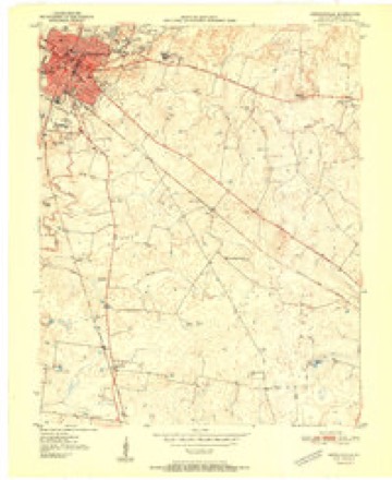
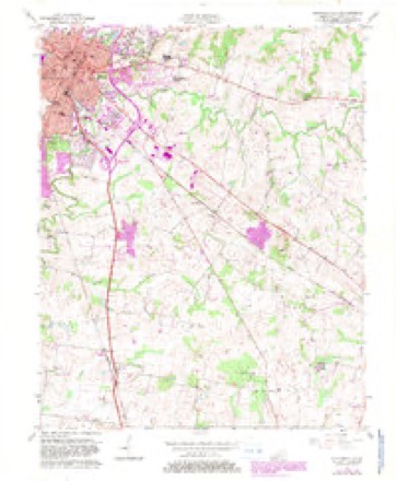
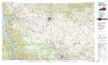
8 topographic sheets cover this place, the earliest surveyed in 1951 and the latest in 1980. It stands in the Oak Grove-Pembroke census division. It lies in ZIP code area 42240. The Survey maps it on the Hopkinsville quadrangle.
Topographic sheets covering this place
5 surveys from 8 printed sheetsMatched by testing this settlement's coordinate against the published boundary of every sheet in the United States Geological Survey's historical collection. Each opens the scanned sheet at the Survey.
- 1951 USGS Hopkinsville quadrangle1:24000
- 1956 USGS Hopkinsville quadrangle1:24000, 3 printings
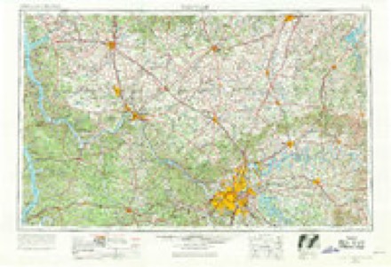
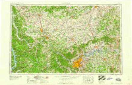
- 1956 USGS Nashville quadrangle1:250000, 2 printings
- 1959 USGS Nashville quadrangle1:250000
- 1980 USGS Hopkinsville quadrangle1:100000
Fires near this place
2 since 2004Regional context, not property-specific evidence. The federal wildfire occurrence database lists 2 fires within 5 miles of Casky between 2004 and 2014, burning about 3 acres in total. None started naturally. None was recorded as arson. Distance is straight-line from the map coordinates, so a fire counted here may appear on a neighbouring settlement's page as well.
| Reported cause | Fires |
|---|---|
| Equipment and vehicle use | 1 |
| Missing data/not specified/undetermined | 1 |
The most recent of them, most recent first, with the day each was reported and the service that recorded it.
| Date | Cause | Size | Reported by | Name on the report |
|---|---|---|---|---|
| 27 March 2014 | Equipment and vehicle use | 1.0 acres | Kentucky Division of Forestry | BAREFOOT |
| 20 February 2004 | Missing data/not specified/undetermined | 2.0 acres | Kentucky Division of Forestry | not named |
Settlements close enough to share some of these fires:
Mines and quarries near this place
7 within 5 milesRegional context, not property-specific evidence. The federal mineral resources record lists 7 workings within 5 miles of Casky: 4 producers, 2 past producers, 1 unknown. 4 still produce. What was taken out: Stone, Crushed/Broken, Limestone, General, Clay, Graphite. Distance is straight-line from the map coordinates, so a quarry counted here may appear on a neighbouring settlement's page as well.
| Where | Site | Commodity | Status | Recorded |
|---|---|---|---|---|
| Dalton Brick-Clay Mine | Clay | Past Producer | ||
| Pembroke Quarry | Limestone, General | Past Producer | ||
| Superior Graphite/Hopkinsville, Ky. | Graphite | Unknown | ||
| Allied Mine | Stone, Crushed/Broken | Producer | ||
| Christian Quarries, Inc. | Stone, Crushed/Broken | Producer | ||
| Hopkinsville Quarry | Stone, Crushed/Broken | Producer | ||
| U.S. 41a Quarry | Stone, Crushed/Broken | Producer |
Storms near this place
12 since 2009Regional context, not property-specific evidence. The National Weather Service names Casky in 12 storm reports between 2009 and 2025: 9 flood, 2 tornado, 1 flash flood. No death or injury is recorded in these reports. Each account below is quoted exactly as the forecast office filed it, from the NOAA Storm Events Database, and each date opens the federal record of that event.
| When | Event | Place named | Harm | What the report says |
|---|---|---|---|---|
| May 2021 | Tornado (EF0) | Casky | $45,000 | At least four barns lost portions of their tin roofs and/or walls. Several trees were uprooted or lost limbs. A narrow strip of wheat was blown down. The tornado began on the south side of Hopkinsville and ended several miles southeast of the center of Hopkinsville. Peak winds were estimated near 85 mph. |
| January 2020 | Tornado (EF1) | Casky | $15,000 | This tornado crossed U.S. Highway 41 about four miles southeast of Hopkinsville. Several trees were snapped along the path. One barn received some partial damage to its roof. Peak winds were estimated near 95 mph. |
| February 2025 | Flood | Casky | - | The South Fork of the Little River at Highway 68/80 rose back above flood stage in the late evening after having flooded earlier in the day. Minor flooding of low-lying areas occurred along the South Fork of the Little River near Highway 68/80. Moderate flooding of low-lying areas occurred from 0100CST to 0300CST on the 16th, as the river level at Highway 68/80 briefly climbed above the moderate flood level of 17 feet. |
| February 2025 | Flood | Casky | - | Major flooding of several roads occurred along the South Fork of the Little River on the east and south sides of Hopkinsville. Durret Avenue, Christian Quarry Road and Marietta Drive were impassable due to high water. The river level at the Hopkinsville Bypass crested at 20.16 feet around 1645CST on the 15th. The major flood stage is 20 feet. |
| January 2025 | Flood | Casky | - | Heavy rainfall of 3 to 4 inches resulted in overnight minor flooding on the S Fork Little River at the Bypass gage with flooding affecting low-lying areas. |
| May 2024 | Flood | Casky | - | Heavy rain in Christian County from the May 8th storms resulted in rapid river level rises on the South Fork of the Little River with minor flooding occurring during the morning of the 9th near the Bypass site. Farmland flooding and some street flooding of nearby roads occurred. |
| May 2024 | Flood | Casky | - | Heavy rain in Christian County from the May 8th storms resulted in rapid river level rises on the South Fork of the Little River with minor flooding occurring during pre-dawn hours of the 9th near the 68/80 site. Farmland flooding and some street flooding of nearby roads briefly occurred. |
| May 2024 | Flood | Casky | - | Heavy rain in Christian County from the May 14th storms resulted in rapid river level rises on the South Fork of the Little River with minor flooding occurring during the early evening hours of the 14th near the 68/80 site. Farmland flooding and some street flooding of nearby roads briefly occurred. |
| May 2024 | Flood | Casky | - | Heavy rain in Christian County from the May 26th storms resulted in rapid river level rises on the South Fork of the Little River with minor flood stage reached just after midnight on the 27th at the 68/80 site with minimal impacts. |
| August 2023 | Flood | Casky | - | Moderate flooding occurred on the Little River. The river gage at the Route 68/80 bridge recorded a crest of 17.63 feet, which is about 2.5 feet above the 15-foot flood stage. There was extensive flooding of low-lying woods and fields near the river. |
| June 2010 | Flood | Casky | - | Several roads were still covered with water and barricaded in the Hopkinsville area following the flash flood. |
| January 2009 | Flash Flood | Casky | - | The Little River near the city of Hopkinsville flooded out of its banks. The Trail of Tears Park along with a campground experienced flooding. The river overflowed onto Little River Church Road. Residents of flood-prone areas along the river were urged to evacuate. Between 3 and 4 inches of rain fell within 36 hours of the flooding. |
Nearest settlements
The eight closest, with where each one stands in the county. Distances are straight-line, computed from the Geographic Names Information System coordinates.
| Map | Place | Distance | Sheets |
|---|---|---|---|
| Edwards Mill (historical) | 1.3 miles | 8 | |
| Masonville | 4.0 miles | 8 | |
| Longview | 4.0 miles | 8 | |
| West Brook | 4.3 miles | 9 | |
| Hopkinsville | 4.5 miles | 8 | |
| Pembroke | 5.0 miles | 8 | |
| Perry (historical) | 5.7 miles | 7 | |
| Fidelio | 6.0 miles | 10 |
Elsewhere
Matched on this settlement's Geographic Names Information System number rather than its name, so it cannot be a different place of the same name in another state.
| Wikidata item Q122571779 | The structured record the population and elevation above come from. Public domain (CC0). |
Provenance
This settlement is recorded in the Geographic Names Information System as feature 507666. The sheet list is computed by point-in-boundary test against the United States Geological Survey's historical topographic inventory. Both are works of the United States government and carry no copyright under 17 U.S.C. 105.
Wildfire. Short, Karen C. 2022. Spatial wildfire occurrence data for the United States, 1992-2020 [FPA_FOD_20221014]. 6th Edition. Fort Collins, CO: Forest Service Research Data Archive. https://doi.org/10.2737/RDS-2013-0009.6 Collected with United States Government funding and usable without additional permissions or fees.
Mines and quarries. USGS Mineral Resources Data System (MRDS) https://mrdata.usgs.gov/mrds/ A work of the United States government, no copyright under 17 U.S.C. 105.
Storms. NOAA National Centers for Environmental Information, Storm Events Database https://www.ncei.noaa.gov/stormevents/ A work of the United States government, no copyright under 17 U.S.C. 105. Narratives are quoted verbatim from the National Weather Service report and are not edited or summarised.