 Block
From the record
51 National Register listings published here.
Sources: the National Register database, National Park Service
80 topographic sheets and 14 fire insurance atlases across 2 places.
51 National Register listings published here.
Sources: the National Register database, National Park Service
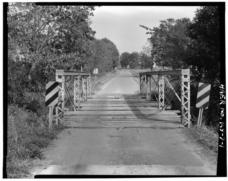
Taken for the Office of War Information and the Farm Security Administration, who photographed the country between 1935 and 1944. Works of United States government photographers, with no known restriction on use. Each opens its catalogue record.




Every property in this county listed on the National Register of Historic Places, with the year it was listed and the federal nomination document.
| Photograph | Property | Type | Listed | Reference |
|---|---|---|---|---|
| Alumni-Latham-Mooreland Historic District | district | 1993 | 93000696 | |
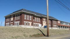 | Attucks High School | building | 2013 | 12001199 |
| C.A. Baldwin Farmstead | building | 2015 | 15000648 | |
| Beverly School | building | 1979 | 79003624 | |
| Blue Lantern Farm | building | 1979 | 79003626 | |
| Boatright House | building | 1979 | 79003611 | |
| Bradshaw House | building | 1979 | 79003623 | |
| Campbell House | building | 1979 | 79003627 | |
| Cedar Grove | building | 1977 | 77000608 | |
| Church Hill Grange Hall | building | 1975 | 75000744 | |
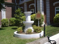 | Confederate Memorial Fountain in Hopkinsville | object | 1997 | 97000710 |
| Cox House | building | 1979 | 79003615 | |
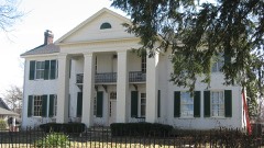 | Judge Joseph Crockett House | building | 1979 | 79000968 |
| Dalton Brick Company | building | 1979 | 79003606 | |
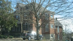 | Monroe Dalton House | building | 1983 | 83002624 |
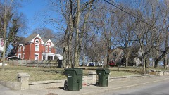 | East 7th Street Historic District | district | 1983 | 83000561 |
| Elk Grove Farm | building | 1979 | 79003613 | |
| Elliott Place | building | 1979 | 79003617 | |
| Elliott Place | building | 1979 | 79003617 | |
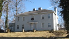 | Fairelond | building | 1983 | 83000562 |
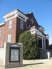 | Freeman Chapel C.M.E. Church | building | 1983 | 83000563 |
| Simon French House | building | 1979 | 79003622 | |
| John C. Gary House | building | 1979 | 79003629 | |
| Genoa | building | 1979 | 79003619 | |
| Glen Burnie | building | 1979 | 79003618 | |
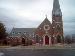 | Grace Episcopal Church | building | 1982 | 82002679 |
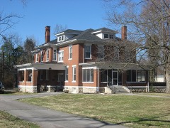 | E. H. Higgins House | building | 1984 | 84001403 |
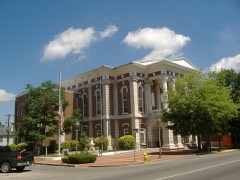 | Hopkinsville Commercial Historic District | district | 1979 | 79003633 |
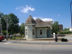 | Hopkinsville L & N Railroad Depot | building | 1975 | 75000745 |
| Hopkinsville Residential Historic District | district | 1979 | 79003631 | |
| Hopkinsville Residential Historic District (Boundary Increase) | district | 1990 | 90001203 | |
| Hopkinsville Warehouse Historic District | district | 1979 | 79003632 | |
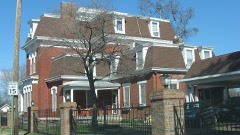 | Hopper Court | building | 1979 | 79003605 |
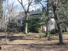 | J. B. Knight House | building | 1979 | 79003607 |
 | Lafayette Methodist Church | building | 1979 | 79003616 |
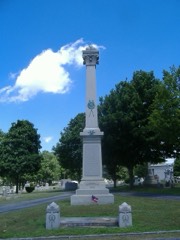 | Latham Confederate Monument | object | 1997 | 97000709 |
| Maplewood | building | 1979 | 79003625 | |
| McClellen House | building | 1979 | 79003621 | |
| Dr. Bankie Oliver and Mamie Moore House | building | 2025 | 100012238 | |
| Oakland/Henry House | building | 1979 | 79003628 | |
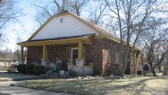 | Poston House | building | 1979 | 79003608 |
| Rich Grove | building | 1979 | 79003610 | |
| Ritter House | building | 1979 | 79003609 | |
| Smokehouse on Riverside Creek | building | 1987 | 87000166 | |
| St. Elmo School | building | 2023 | 100009724 | |
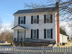 | Dr. Edward S. Stewart House | building | 1979 | 79003620 |
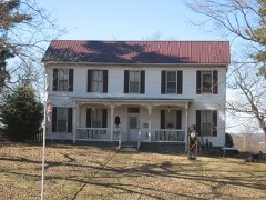 | E. W. Walker House | building | 1983 | 83000564 |
 | Western Lunatic Asylum | building | 1979 | 79003612 |
| Whitepath and Fly Smith Gravesite | site | 2004 | 04001250 | |
| Woodlawn | building | 1979 | 79003614 | |
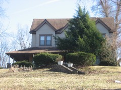 | Frank K. Yost House | building | 1983 | 83000565 |
Sampled issues, machine-read from the Library of Congress scan and published page by page, so every headline and column is searchable text.
Hopkinsville, Ky., 1879 to 1883. Machine-read from the Library of Congress scan.
Hopkinsville, Ky., 1881 to 18??. Machine-read from the Library of Congress scan.
Hopkinsville, Ky., 1883 to 1889. Machine-read from the Library of Congress scan.
Hopkinsville, Ky., 1889 to 1918. Machine-read from the Library of Congress scan.
Hopkinsville, Ky., 1898. Machine-read from the Library of Congress scan.
Hopkinsville, Ky., 1918 to 191?. Machine-read from the Library of Congress scan.
Hopkinsville, Ky., 191? to 19??. Machine-read from the Library of Congress scan.
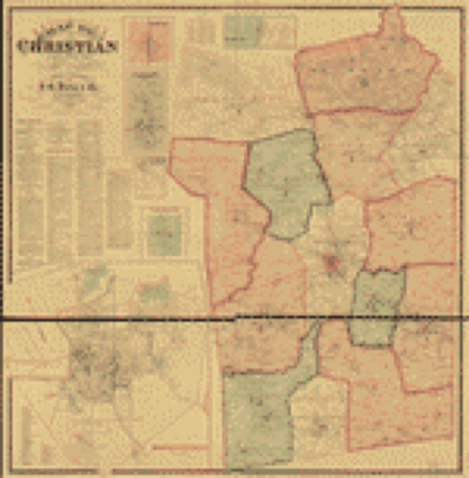
Drawn when these were printed as single large sheets: the town seen from the air, and the county divided into its farms with every owner named. Each opens the original at the Library of Congress.
Selected from the Digital Public Library of America's 5 image records catalogued for this county. Every one shown here carries a public-domain status or a licence that permits reuse on a site that carries advertising; non-commercial, share-alike and restricted images are excluded. The selection is spread across the county's towns (at most eight per town), so no single institution's bulk upload crowds out the rest. Each opens the holding library's record, and the complete set at the Digital Public Library of America is one click away.
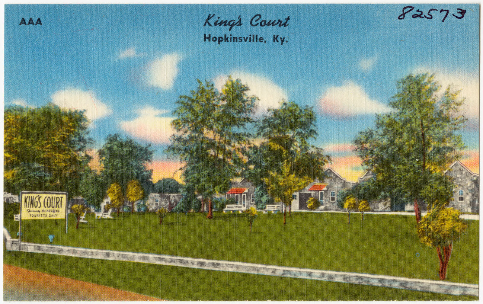
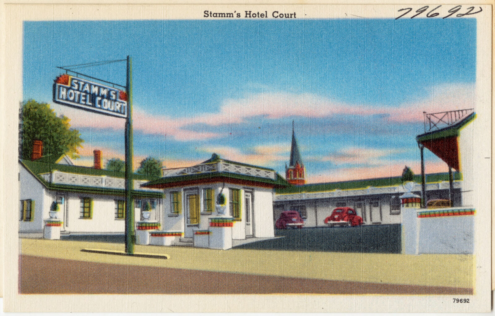
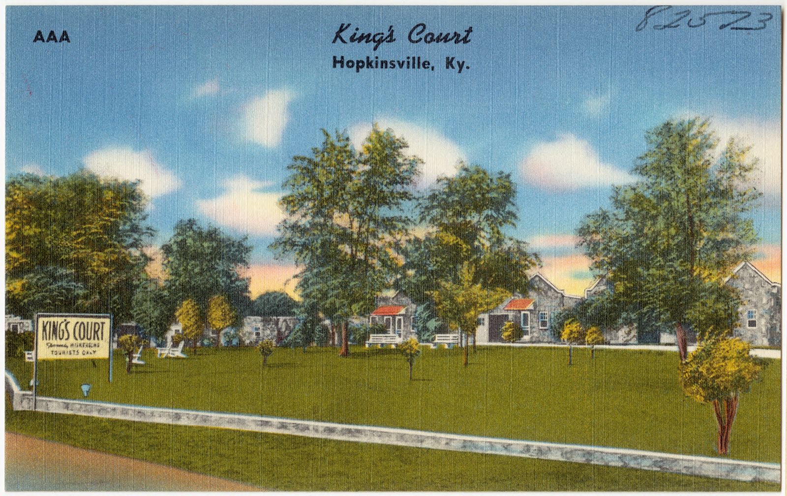
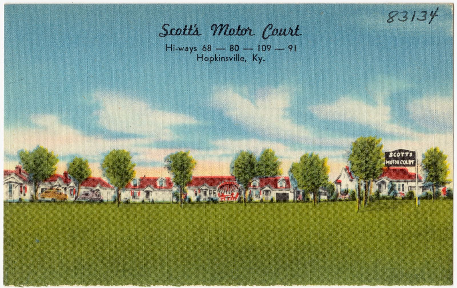
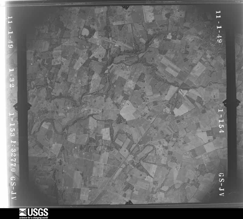
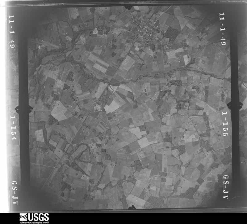
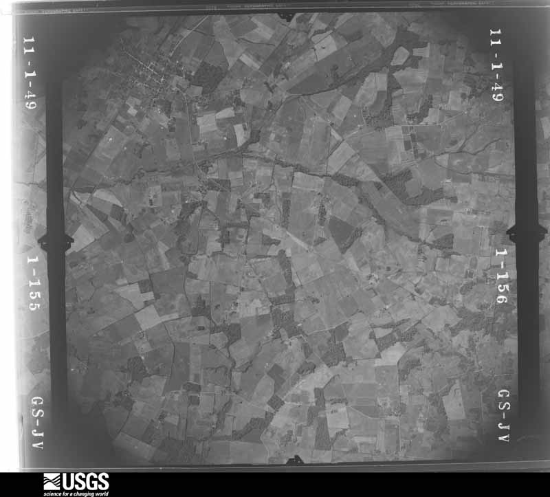
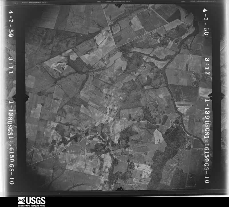
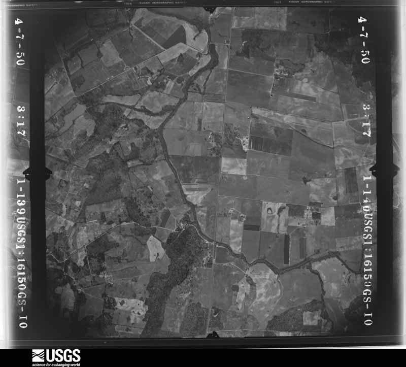
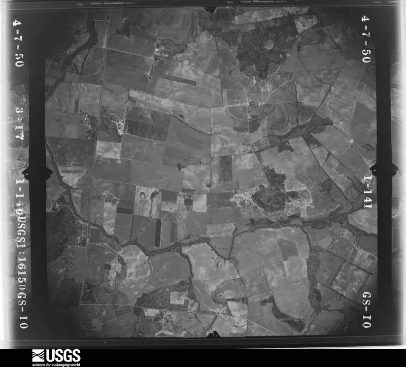
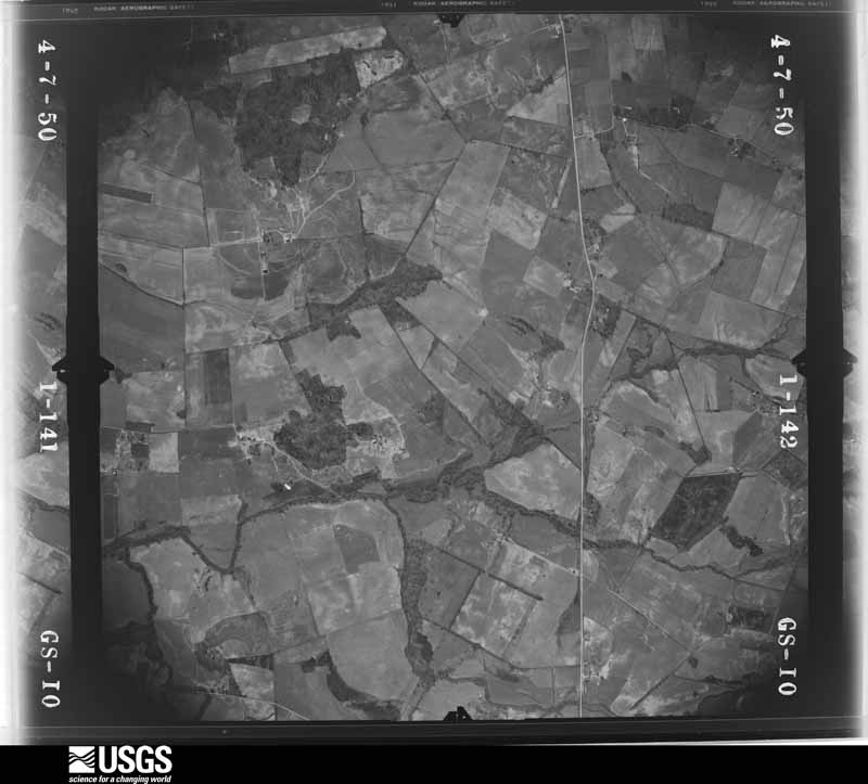
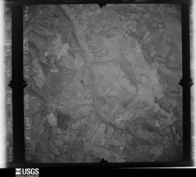
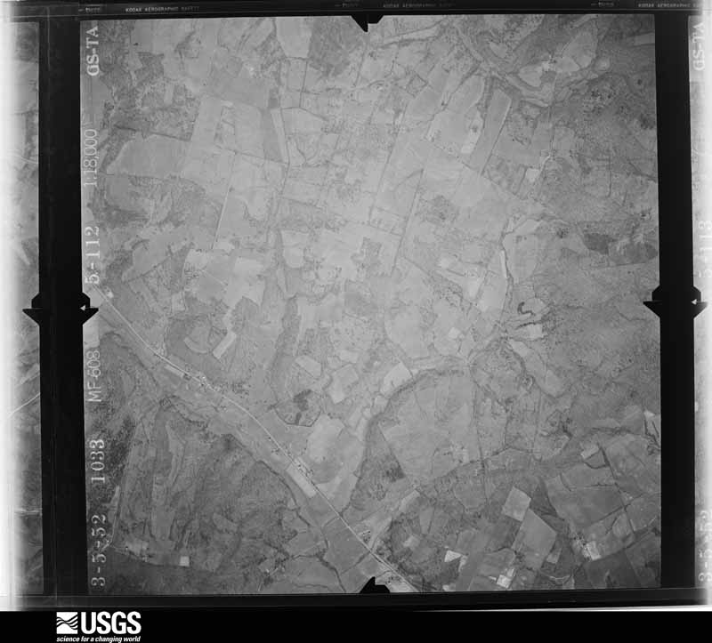
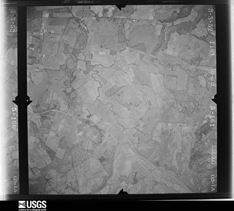
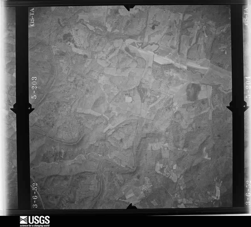
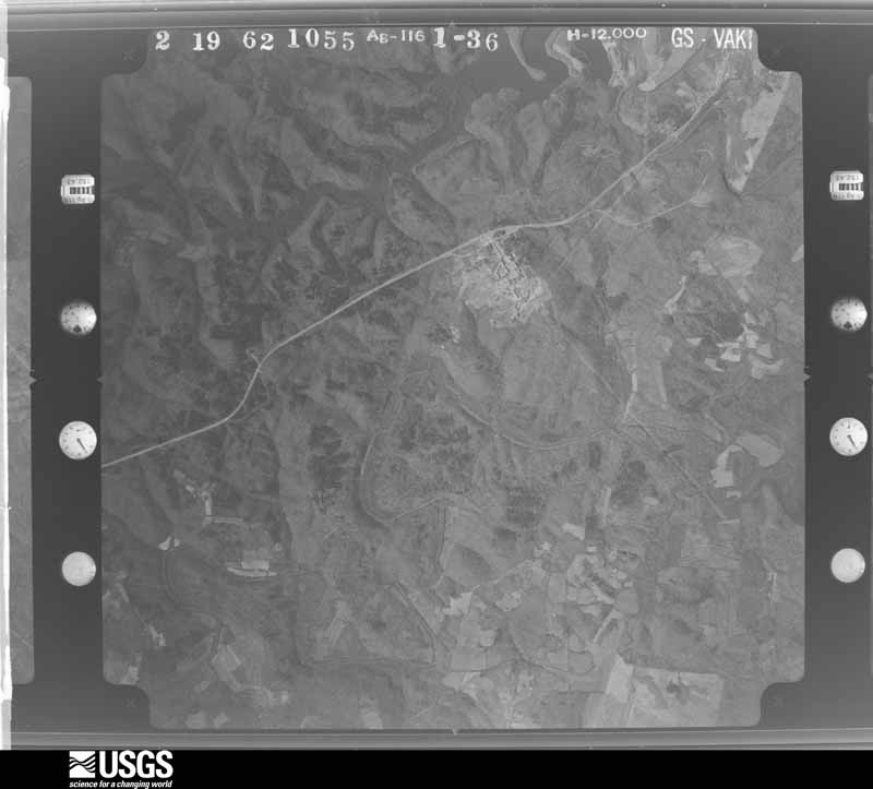
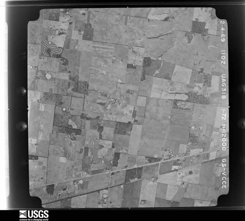
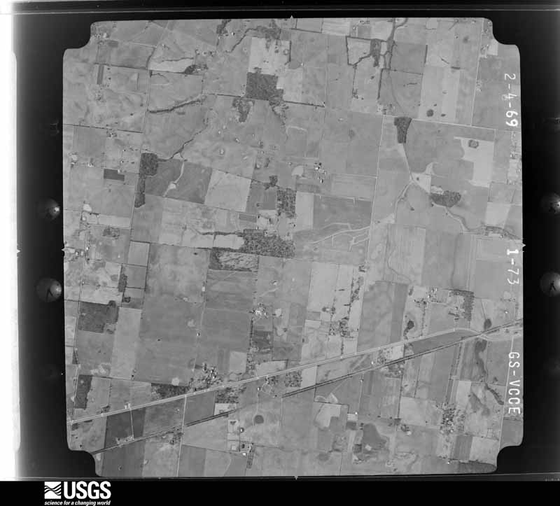
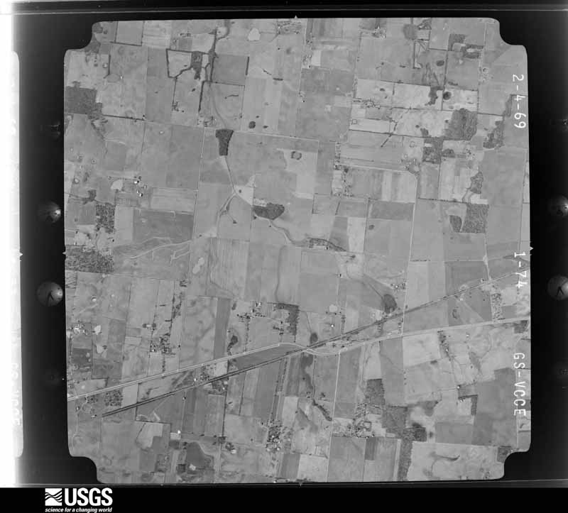
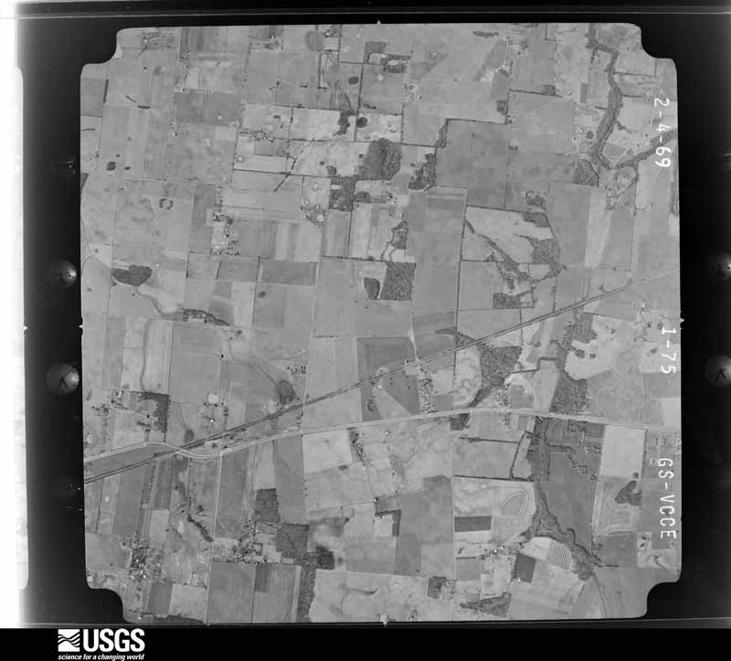
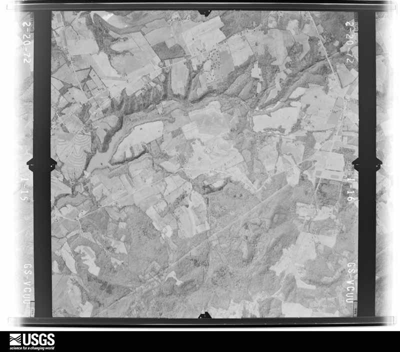
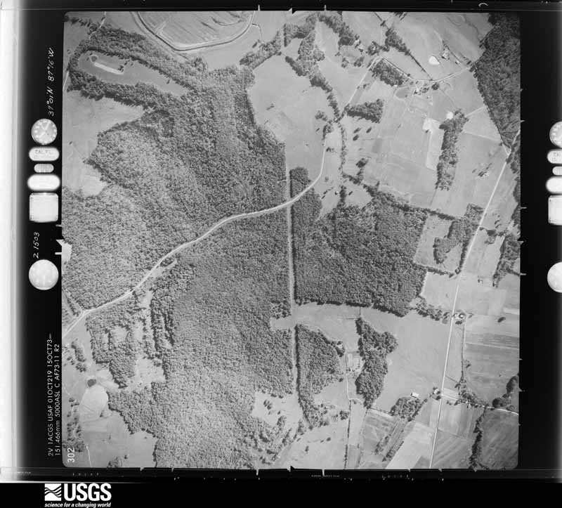
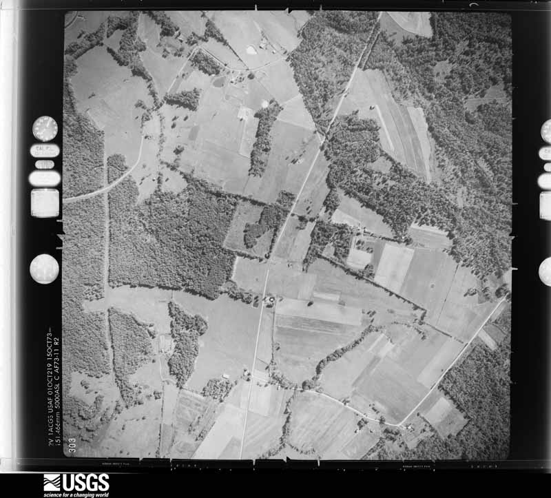
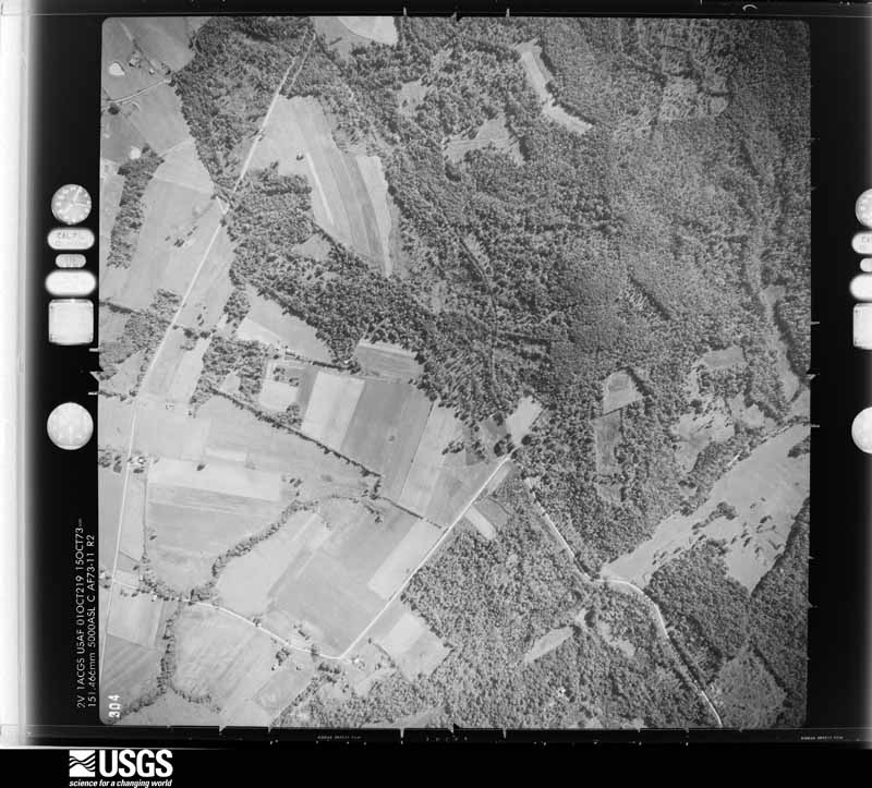
Flown by the U.S. Geological Survey between 1937 and 1989, the Aerial Photo Single Frames collection is the definitive mid-century view of the land: fields, roads and rivers as the camera saw them. The Survey holds 2,854 frames inside the rectangle that bounds this county; the 38 frames below were taken over the county itself, chosen across the decades of flights (at most four a year from that rectangle), so one flight cannot crowd out the rest. The full set is free to browse and download at EarthExplorer under the dataset Aerial Photo Single Frames.






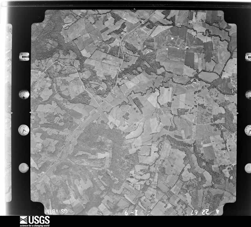
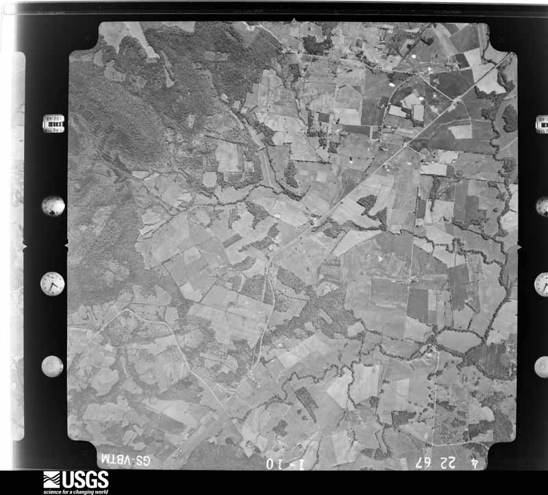
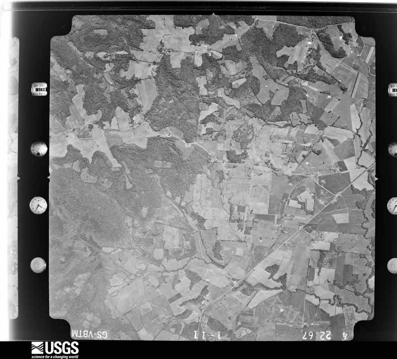
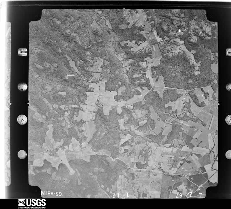



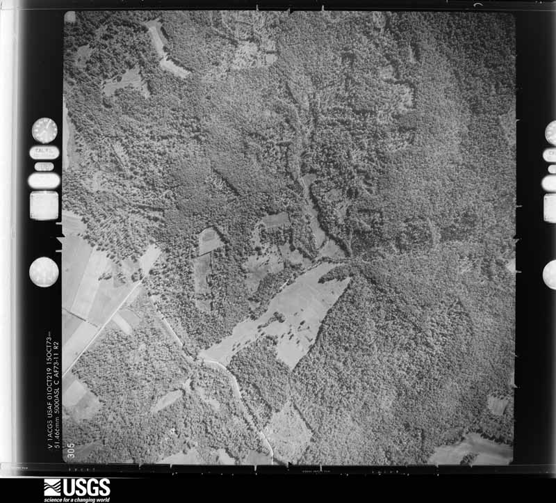
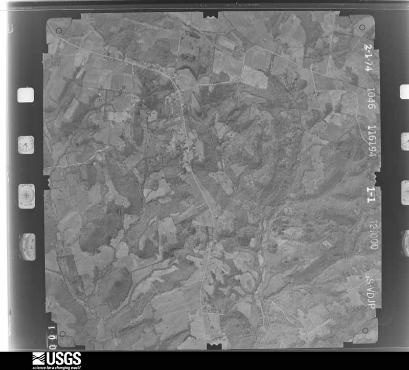
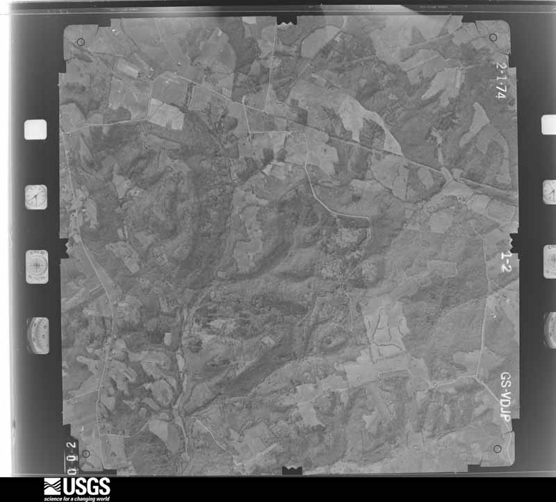
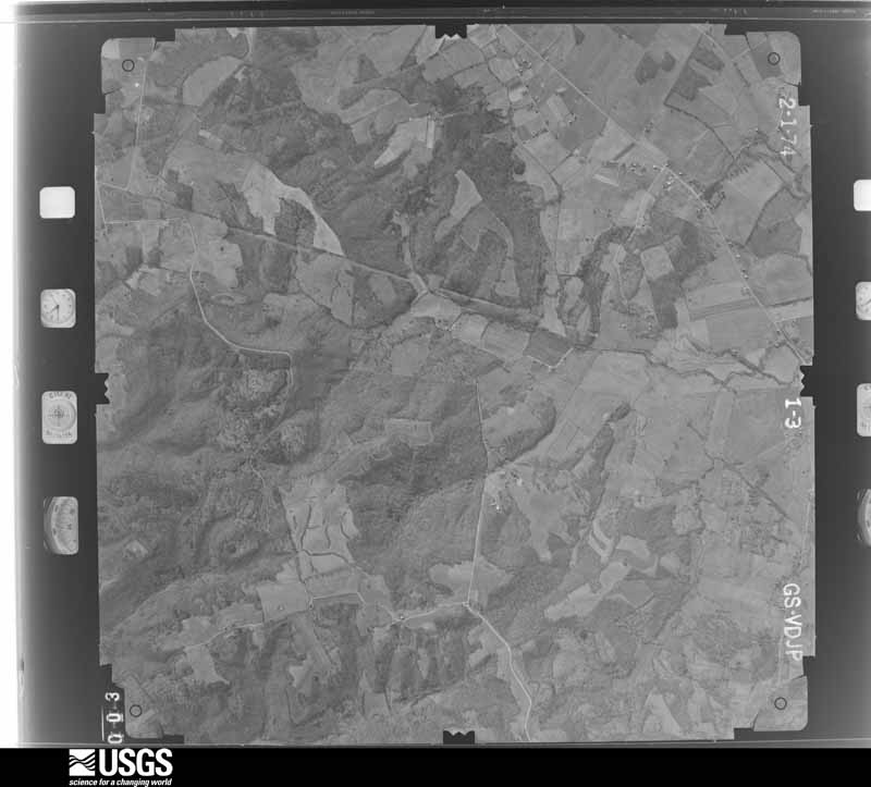

The thermometers that kept this county's weather, and the gages that measured the flow of its streams, as the federal records hold them. The extremes below are measured values from those records, not estimates.
Who lived here in 1950, one enumeration district at a time, as the Census Bureau described each district. Each row opens its official National Archives result, with Population Schedules and ED Maps available there.
Every wildfire the federal occurrence database records inside this county: 97 of them, burning about 1,804 acres. 1 started naturally and 4 were recorded as arson. Each settlement page carries the fires within five miles of it.
| Reported cause | Fires |
|---|---|
| Missing data/not specified/undetermined | 35 |
| Debris and open burning | 20 |
| Recreation and ceremony | 19 |
| Railroad operations and maintenance | 12 |
| Smoking | 4 |
| Arson/incendiarism | 4 |
| Misuse of fire by a minor | 1 |
| Equipment and vehicle use | 1 |
| Natural | 1 |
The five largest, by the area the report gives. None of them was recorded as arson.
| Date | Cause | Size | Reported by | Name on the report |
|---|---|---|---|---|
| 26 February 2019 | Natural | 154 acres | Kentucky Division of Forestry | GRAPEVINE ROAD |
| 23 September 2008 | Railroad operations and maintenance | 153 acres | Kentucky Division of Forestry | LONG |
| 24 August 2007 | Railroad operations and maintenance | 125 acres | Kentucky Division of Forestry | not named |
| 24 October 2010 | Debris and open burning | 94 acres | Kentucky Division of Forestry | STUMP |
| 2 October 2010 | Railroad operations and maintenance | 93 acres | Kentucky Division of Forestry | DEERE |
| 28 June 2012 | Missing data/not specified/undetermined | 88 acres | Kentucky Division of Forestry | QUAD COUNT |
| 21 October 2010 | Debris and open burning | 80 acres | Kentucky Division of Forestry | HOMBRE |
| 6 March 2002 | Recreation and ceremony | 55 acres | Kentucky Division of Forestry | not named |
Every settlement page carries the fires within five miles of it - see the settlement index below.
The NOAA Storm Events Database holds 625 reports for this county, causing 1 death, 90 injuries and about $107,055,003 in recorded property damage. Each settlement page carries the reports that name it.
| Kind of event | Reports |
|---|---|
| Thunderstorm Wind | 274 |
| Hail | 139 |
| Tornado | 57 |
| Flood | 57 |
| Flash Flood | 48 |
| Heavy Rain | 25 |
| Funnel Cloud | 16 |
| Lightning | 9 |
The most serious of them, by death, then injury, then recorded damage. The accounts are quoted exactly as the forecast office filed them.
| When | Event | Place named | Harm | What the report says |
|---|---|---|---|---|
| August 2023 | Flash Flood | Herndon | 1 killed, $10,000 | Numerous roads were flooded throughout the county. Water was over a number of state roads, including Kentucky Routes 1453, 115, 1026, 1663, 1386, 164, and 272. A vehicle carrying five occupants (4 juveniles and an adult female) went into chest high water near the intersection of Buffalo Rd and Gracey Sinking Fork Rd. A rescue operation was performed, removing all of the occupants from the vehicle. The 68-year-old female driver was found to have died as a result of drowning. |
| April 2006 | Tornado (F3) | Gracey | 22 hurt, $35,000,000 | The tornado formed from a long-track supercell that originated in southeast Missouri near Poplar Bluff. The tornado began less than two miles from the Trigg County line with an east-southeast movement, then curved slightly left before crossing Highway 91. The tornado moved east-northeast across central Christian County, passing less than four miles north of downtown Hopkinsville, before crossing into Todd County less than a mile north of Pilot Rock. Near the beginning of the damage path, a church was levelled. Across the county, 91 homes were destroyed, and another 171 homes sustained varying degrees of damage. Several people were pulled from the debris of their homes during a door-to-door search that lasted into the next morning. Of the 22 people directly injured by the tornado, 17 were checked in at the local hospital, and five were transferred to regional hospitals. Another ten or so people received injuries not directly inflicted by the tornado, such as driving into fallen trees. None of the injuries, which consisted mostly of cuts, bruises, and fractures, were considered life-threatening. Numerous garages, barns, and outbuildings were destroyed. Some vehicles were damaged or destroyed. Hundreds of trees were downed, snapped, or uprooted. Power was out to most of the city of Hopkinsville for about six hours as a result of downed steel towers that carry primary transmission lines. Peak winds were estimated near 185 MPH. The average path width was 500 yards. It should be noted that the initial tornado reformed or reorganized about 7 miles northeast of Hopkinsville, leaving a break in the tornado path less than a mile long. Downburst wind damage occurred both north and south of the area where the tornado reorganized, resulting in a two-mile wide swath of damage along Highway 107. The webcam at the local hospital captured the tornado as it passed north of downtown Hopkinsville. |
| May 1978 | Tornado (F3) | not stated | 17 hurt, $2,500,000 | no account filed |
| February 2018 | Tornado (EF2) | Hopkinsville | 9 hurt, $6,000,000 | This EF-2 tornado touched down on the south side of Hopkinsville, just west of the junction of the Pennyrile Parkway and U.S. Highway 41. Three apartment buildings near the intersection of the Pennyrile Parkway and U.S. 41 were destroyed. The roof and most walls were blown down on the second story. Another apartment building was heavily damaged. All nine injuries occurred in the apartment complex, which consisted of two-and-a-half story buildings. One car was flipped and blown some distance. Two others were blown from their original positions, and several others were damaged. At least four retail buildings sustained major roof and siding damage, with windows and doors blown in or broken. Four barns were heavily damaged or flattened, and four houses sustained mainly minor roof damage. Two large commercial buildings were damaged, with one sustaining major roof and wall damage. Hundreds of trees were snapped or uprooted. The damage east of the city near Highways 68 and 80 was relatively minor, consisting of uprooted trees, destroyed barns, and shingle damage. Peak winds were estimated near 135 mph at the destroyed apartment complex on the south side of Hopkinsville. |
| April 2011 | Tornado (EF2) | Hopkinsville | 7 hurt, $2,000,000 | The tornado path began along U.S. Highway 41 at a large auto parts manufacturing plant. The industrial warehouse type building was heavily damaged on the north and west sides. Large sections of roof up to 100 by 400 feet were removed. Small sections of exterior walls were peeled back or blown in. A rooftop hvac unit was blown off the building. There were seven injuries to workers inside the plant, mostly due to flying objects. One worker required overnight hospitalization. Some of the injuries included a broken jaw and broken foot. In front of the industrial building on U.S. 41, steel utility poles were bent almost to the ground. The remainder of the path was mostly through open farm country. Several barns were destroyed, and metal roofs were off two homes. Dozens of trees were uprooted. Observers at Fort Campbell reported seeing a rotating wall cloud about the time of the tornado. Peak winds were estimated near 130 mph. The average path width was 150 yards. |
| April 1968 | Tornado (F4) | not stated | 5 hurt | no account filed |
| December 2021 | Tornado (EF2) | La Fayette | 4 hurt | This long-track EF-3 tornado began in western Tennessee near Dyersburg (see Storm Data, Tennessee, Western). It crossed from Stewart County, Tennessee into Christian County in the secured area of the Fort Campbell military reservation (see Storm Data, Tennessee, Central for the Stewart County portion of the track). The tornado passed only about half a mile southeast of the community of La Fayette on its way northeast across Interstate 24 and Fort Campbell Boulevard (U.S. Highway 41). Between La Fayette and I-24, several homes were destroyed (DI 2, DOD 6). The homes suffered complete destruction of the roof and/or attic. The walls were often damaged but remained standing. One house was moved from its foundation (DI 2, DOD 5). The occupants of the houses took shelter and generally escaped serious injury. A mobile home was destroyed (DI 3, DOD 9). A church sustained steeple damage. Significant damage occurred to the silos and irrigation system of a farm, where damage was estimated near 1 million dollars. A mile's worth of power poles were snapped on Fort Campbell Boulevard (U.S. 41) just one to two miles north of the I-24 interchange (DI 24, DOD 4). After crossing U.S. 41, the tornado struck Pembroke, where more significant structural damage occurred. A single-wide mobile home was destroyed (DI 3, DOD 9). The mobile home was not tied down. One person was injured at this site. At least one other mobile home was destroyed. Two barns were destroyed (DI 1, DOD 8). Roofs were completely removed from two houses. Elsewhere along the path east of Fort Campbell Boulevard, farm outbuildings and farm equipment were damaged or destroyed. The tornado was rated EF-2 in Christian County. Several damage sites were assigned a wind speed estimate of 125 mph, the highest in the county. The average path width in Christian County was about a mile, though it narrowed to about three-quarters of a mile toward the end of its life after crossing Highway 41. The tornado continued northeast of Pembroke before entering Todd County. |
| January 1999 | Thunderstorm Wind | Oak Grove | 3 hurt, $250,000 | A thunderstorm along a squall line produced a microburst at Oak Grove, at and near the Fort Campbell military installation. Several mobile homes were damaged. Numerous trees were down, and the roof was damaged on a church on Kentucky 115. A store at the entrance to Fort Campbell suffered damage to the roof and windows. A van was blown off the road and overturned in the parking lot of the store. A guard shack at the entrance to the post was picked up and moved with guards in it. At least one of the guards was injured. A total of three people were treated for cuts from flying glass. The roof of a 95-room guesthouse on the army base was ripped off, causing the dislocation of its residents. |
| March 1986 | Thunderstorm Wind | not stated | 3 hurt | no account filed |
| July 1984 | Thunderstorm Wind | not stated | 3 hurt | no account filed |
| February 2008 | Tornado (EF2) | Sinking Fork | 2 hurt, $4,400,000 | Twenty-seven homes were damaged and 17 were destroyed. A total of 19 garages, sheds, and barns were damaged or destroyed. Of the destroyed homes, at least five were mobile homes. The two injured persons transported themselves to local hospitals. The county was declared a federal major disaster area. Peak winds were estimated near 130 mph. The average path width was 225 yards. |
| April 1998 | Thunderstorm Wind | Hopkinsville | 2 hurt, $500,000 | Thunderstorm winds possibly as high as 100 MPH levelled three barns and demolished a mobile home. A metal farm building was blown from its foundation. Several homes were damaged. This phenomenon, known as a downburst, was between one half and three quarters of a mile wide. Two occupants of the mobile home were injured when they were tossed around. The injuries were cuts to the head and hands. |
| June 1997 | Tornado (F1) | Oak Grove | 2 hurt, $200,000 | Several eyewitnesses including at least a half dozen policemen or firemen had nearly identical reports of very narrow rope shaped vortices descending to the ground briefly. There were at least two separate occurrences in the Oak Grove area with another occurring adjacent to the Fort Campbell air field. A 52 MPH wind was reported at the air field, although it was not thought to be in the direct path of the funnel cloud. Some descriptions sounded like the funnel clouds formed in conjunction with towering cumulus clouds instead of cumulonimbus clouds (thunderstorms). Nobody remembered hearing any thunder although a minority reported some rain. A television station in Hopkinsville obtained videotape of the Oak Grove tornado. The primary damage was in a mobile home park, where a mobile home was overturned and destroyed. Two occupants of the mobile home were slightly injured, but did not require treatment at any hospital. Other mobile homes in the park were slightly damaged. An estimated 130,000 dollars damage occurred at the Fort Campbell Army Post due to a brief funnel touchdown. Most of the damage at the base occurred in the shop area of the Directorate of Logistics building, where it tore off the roof, exposing expensive test equipment. The upper part of a wall in an adjacent building was damaged. |
| April 2009 | Tornado (EF3) | Mannington | 2 hurt, $150,000 | This was the second and more intense of the tornadoes spawned by a supercell that tracked across Christian County. Near Mannington, a garage was destroyed, and a house was levelled. The main debris pile from the house was about 50 feet away. The 2,500 square-foot house was poorly anchored to the foundation. Two persons in the house were injured. One of the victims was thrown about 70 feet and suffered a broken pelvis. Footage of the tornado was taken by witnesses along the Pennyrile Parkway and shown on a local media outlet. Peak winds were estimated near 140 mph. The tornado tracked a short distance into Hopkins County before lifting. |
| August 2022 | Thunderstorm Wind | Crofton | 2 hurt, $50,000 | Numerous trees were blown down, approximately two to three dozen. Some of the trees were up to four feet in diameter. A tree went through the windshield of a CSX freight train locomotive, injuring two crew members. All of the damage was near U.S. Highway 41 from Highway 407 to Highway 800. |
| March 2023 | Thunderstorm Wind | Hopkinsville | 1 hurt, $500,000 | A National Weather Service damage survey revealed straight-line winds caused extensive damage in parts of Hopkinsville. Scattered large tree branches were down, and several shallow-rooted trees were uprooted. Two 2-story buildings downtown had windows blown out, and the outer walls collapsed. Several trees fell on homes, causing major damage. Minor damage to homes included siding, shingle, and gutter damage. Winds were estimated from 80 to 85 mph in most places, with isolated spots reaching 90 mph. |
| May 2011 | Tornado (EF2) | La Fayette | 1 hurt, $350,000 | This tornado crossed into Kentucky from Stewart County, Tennessee. Several barns and grain bins were damaged or destroyed. A dairy barn with 45 cows inside was destroyed. Although all the cows were trapped under the collapsed barn, only two of the cows were injured. One of the cows was thrown 500 feet from its stall. Numerous large trees were snapped or uprooted. A tractor-trailer rig hauling freight was overturned at mile-marker 85 on Interstate 24. The driver suffered minor injuries and was taken to a regional hospital. The roof was torn from an agricultural chemical storage building. A tool barn was destroyed. At a farm near Pembroke, a large tree fell on a house, a large barn was flattened, and two large grain bins were destroyed. Peak winds were estimated near 120 mph, but the majority of the damage path was EF-1. The average path width was 150 yards. |
| January 2008 | Thunderstorm Wind | Crofton | 1 hurt, $250,000 | At a shopping mall in Hopkinsville, glass windows were blown out of a department store. A woman was injured when a flying glass pane struck her in the back. She was treated at a hospital for cuts to her back. Five tractor-trailer rigs were blown over, including one blown over on Interstate 24. One of the trucks was a fuel tanker that was leaking fuel. Widespread tree damage was reported from Crofton through Hopkinsville. Hundreds of trees were blown down, despite not being in leaf. At least a few cars were damaged by falling trees. At an industrial park, two storage buildings sustained roof damage. Another building collapsed. Several utility poles were snapped. Lots of shingles were ripped off roofs. A couple of mobile homes were damaged. A commercial building sign was blown over. A wind gust to 69 mph was measured at the Fort Campbell weather station. |
| October 2007 | Tornado (EF2) | Macedonia | 1 hurt, $120,000 | A large area of trees was snapped and uprooted in the Pennyrile State Forest. Some of the trees were 50 to 60 feet tall. A clear path was seen through the forest. A mobile home was blown down a hill and smashed as the tornado crossed Highway 109. An occupant of the mobile home was briefly trapped and sustained lacerations and bruises. The road to the mobile home was blocked by numerous downed trees and trailer debris. Two other mobile homes were severely damaged. A barn were destroyed. Peak winds were estimated near 115 mph. |
| August 2009 | Tornado (EF0) | Gainsville | 1 hurt, $35,000 | This tornado briefly touched down twice within an area of downburst winds. The first brief touchdown, which was eyewitnessed by a trained spotter, began at the intersection of U.S. Highway 41 and the bypass (Kentucky 1682). This tornado travelled just north of the bypass for about one-half mile. Damage included two fiberglass light poles snapped at the base, several trees snapped, and large limbs broken. An additional brief touchdown occurred just east of the Pennyrile Parkway on the south side of the bypass. Damage included a roof torn off a metal storage building, which was blown north back across the highway. One trained spotter was struck by a flying piece of wood and received a badly bruised shoulder which required hospital treatment. Peak winds were estimated near 80 mph. |
| June 2016 | Thunderstorm Wind | Pembroke | 1 hurt, $20,000 | In Hopkinsville, a 22-year-old man sustained an arm injury when a tree landed on his moving car on Highway 380. The injury required hospital treatment, but it was not life-threatening. Another tree fell in Pembroke. Power outages were reported. A wind gust to 57 mph was measured along the west bypass in Hopkinsville at 2:57 P.M. CDT. |
| June 2013 | Lightning | Hopkinsville | 1 hurt | A man received non life-threatening injuries when he was struck by lightning on a golf course. One of his socks was burned. He was transported to a local hospital. |
| March 1997 | Flash Flood | Hopkinsville | $40,000,000 | no account filed |
| May 2025 | Tornado (EF2) | Newstead | $1,300,000 | An EF2 tornado touched down along County Highway 164 just north of I-24 and caused some shingle damage to a house and pretty significant damage to a couple of barns. It continued east uprooting or snapping dozens of trees along its path. Many homes experienced mainly roof damage along River Bend Road and Westminster Place. The tornado crossed Hwy-41A and snapped about a half dozen power poles. Some damage to a house and outbuildings occurred along Harry Berry Lane before the tornado lifted just east of County Highway 109. Estimated peak winds with this tornado were 118 mph. The tornado occurred within a broader area of sporadic straight line winds that swept across southern Christian County. |
| January 2020 | Thunderstorm Wind | Gainsville | $1,000,000 | A destructive downburst containing peak winds of 100 mph occurred on the north side of Hopkinsville, including parts of the downtown area. Approximately 125 homes had some damage. Most had roof, soffit, or siding damage. The roof of a high school was damaged. At least one home had a tree fall on it and severely damaged it. Hundreds of trees were uprooted or snapped. Significant damage occurred at Ruff Park, where ballfields sustained damage and at least one power pole was snapped. Adjacent to the downtown area, much of the roof was blown off an old elementary school on Second Street, and the Salvation Army office building was damaged. Near the end of the damage area, numerous trees were down along Highway 107 northeast of the city. The path of the most concentrated damage was about 1.6 miles long and 0.9 miles wide. |
| March 2016 | Tornado (EF2) | Hawkins | $1,000,000 | This EF-2 tornado touched down just east of the Trigg County line, then moved east-northeast across Highway 91. The tornado continued east-northeast across the Pennyrile Parkway just south of Crofton. The average path width was 100 yards. The tornado path was through farmland interspersed with woodlands. Sixteen barns were destroyed. Ten other barns sustained minor to moderate damage. Two homes sustained moderate damage. Ten tractors or farm implements were damaged. One farmer near Crofton estimated damage was near one-half million dollars just at his farm alone. Nearly 500 utility customers were without power after the tornado. The highest estimated wind speeds of 115 mph were at a farm on Highway 91, where a two-ton truck was overturned. |
| April 2011 | Tornado (EF3) | (Hop)Ft Campbell Aaf | $1,000,000 | The tornado struck the Fort Campbell airfield directly, causing extensive damage. One building structure destroyed was rated for 104 mph winds. Several very large and heavy constructed buildings suffered major damage at the Fort Campbell Army Airfield. Large doors to these buildings, which were rated for 115 to 144 mph winds, were blown in. Several other smaller buildings received minor to major damage. Numerous heavy vehicles were damaged, with at least three flipped over. Immediately north of the airfield, across farmland, several dozen trees were snapped or uprooted, two barns were heavily damaged, three power poles were blown down, and some shingles were blown off a house. A security guard witnessed the tornado during two separate illuminations provided by lightning. The security guard's vehicle was moved backward approximately ten feet during the tornado. A second security guard witnessed the tornado. Two security cameras recorded the tornado passage. One camera showed winds blowing in opposite directions over an approximate 30-second interval. Peak winds were estimated near 140 mph. The average path width was 250 yards. |
| May 1995 | Tornado (F2) | Countywide | $800,000 | An F2 tornado moved from eastcentral Trigg county into west-central Christian county near Julian. Several mobile homes were damaged or detroyed in the vicinity of Julian. The tornado was on the ground for seven miles, then intermittently touched down over the central portion of the county icluding the Hopkinsville area. The tornado again remained on the ground for another seven miles over east-central Christian county generally maintaining an F3 intensity. Seven homes were destroyed in Lacey. |
| January 2022 | Tornado (EF2) | Hopkinsville | $600,000 | The tornado formed on the south side of downtown Hopkinsville and moved east, lifting on the northeast side of the interchange of U.S. 41 and U.S. 68. A number of structures were damaged in this highly populated urban area. Major roof damage occurred at a brick church, with part of the roof and decking removed. Many trees were uprooted and several were snapped. The roof and a small part of a wall were removed on a brick home. Several businesses sustained minor to moderate roof damage, and a few sustained major damage. A gas station canopy was destroyed, along with gas pumps. A few businesses sustained damage to doors and windows. Peak winds were estimated near 115 mph at the church (DI 17, DOD 5). |
| February 2011 | Tornado (EF2) | Gracey | $600,000 | Several barns were levelled, and several grain bins were destroyed. A grain bin was carried over two-thirds of a mile. One of the destroyed barns was 20 by 150 feet. There were some homes with primarily roof damage or loss of shingles. Windows were blown out. Dozens of trees were uprooted or snapped. At least ten power poles were snapped, and debris and electrical lines were across roads. State Route 91 was closed for an extended period of time. The tornado lifted as it crossed Highway 109 just a couple of miles northwest of Hopkinsville. Peak winds were estimated near 115 mph. The average path width was 225 yards. |
| May 1995 | Thunderstorm Wind | Oak Grove | $330,000 | Numerous trees were toppled from thunderstorm winds in the vicinity of Oak Grove. Six cars and nine mobile homes were destroyed, and mobile homes in four mobile home parks sustained extensive damage from falling trees. |
| February 2008 | Thunderstorm Wind | Oak Grove | $320,000 | Several dozen homes received minor wind damage, mostly to shingles. Additional damage occurred to fewer than ten homes. Two barns were damaged. A deck was blown off a home near exit 86 on Interstate 24. Dozens of large trees and signs were blown over. The microburst was about 1.5 miles wide. |
| May 2010 | Tornado (EF2) | Era | $300,000 | The highest concentrations of damage were where the tornado crossed State Route 1348 west of Crofton and Route 407 north of Crofton. Three unoccupied mobile homes were severely damaged or destroyed on Route 1348 west of Crofton. On Route 407, two mobile homes suffered moderate to major damage and a garage was levelled. The roof was peeled off one of the mobile homes. This tornado was very near the site of an EF3 tornado in Mannington just over a year earlier. One of the victims whose home was destroyed in the previous year's tornado relocated to a new spot, only to have her new home receive minor damage in this tornado. Several barns along the damage path received minor to moderate damage. Hundreds of trees were uprooted or snapped, particularly on Route 407 and nearby U.S. Highway 41. The tornado damage path began along Highway 109 and ended just after crossing the Pennyrile Parkway. The EF-2 tornado damage was near the end of the damage path along Route 407 and U.S. Highway 41, where hundreds of trees were uprooted or snapped. The average path width was 275 yards. Peak winds were estimated near 120 mph. The supercell that spawned this tornado later produced a separate brief tornado in Hopkins County. |
| January 2020 | Tornado (EF1) | Howell | $250,000 | The tornado touched down on the northern perimeter of the Fort Campbell military base and proceeded northeast across U.S. Highway 41. Trees were uprooted and snapped along the path. Several barns were damaged or destroyed, including one that had its roof thrown several hundred yards into trees. Power lines were downed, and 13 empty rail cars were tipped over along the path. A couple of homes received some minor damage. The tornado lifted just northwest of Pembroke. Peak winds were estimated near 100 mph. |
| January 2013 | Tornado (EF1) | Hopkinsville | $250,000 | The tornado touched down along U.S. Highway 41A and travelled northeast to U.S. Highway 41. Hundreds of trees were snapped or uprooted. One grain bin was blown 150 feet. Several barns or sheds were levelled. At least two dozen power poles were broken along Highway 1027 and U.S. Highway 41. Several homes received mainly minor roof damage. The tornado had estimated peak winds of 105 mph. The average path width was 175 yards. |
| January 2013 | Thunderstorm Wind | Herndon | $250,000 | Several barns were levelled or heavily damaged. Center pivot irrigation equipment was overturned. Several homes received shingle and siding damage. Fifteen power poles were snapped along U.S. Highway 41A. Dozens of trees were uprooted. A semi-trailer rig was overturned along Interstate 24 near mile marker 89. The entire community of Pembroke was without power. There was considerable debris along Highway 115. The swath of damage from this downburst averaged one mile wide. |
| July 2012 | Thunderstorm Wind | Macedonia | $250,000 | A microburst containing winds estimated near 95 mph struck Lake Beshear. The damage area was 500 yards wide and one-half mile long. A lakefront home lost roofing from the front porch and the front of the home itself. The roofing landed about 100 yards behind the home. Two dozen small trees were blown over. Six small boat docks were damaged or destroyed along nearby lakefront property. |
| June 1989 | Tornado (F1) | not stated | $250,000 | no account filed |
| April 1963 | Tornado (F3) | not stated | $250,000 | no account filed |
| May 2024 | Tornado (EF2) | Binns Mill | $200,000 | An EF-2 tornado began in Trigg County, southeast of Cadiz, crossing over into Christian County at Newstead Rd. The tornado tracked eastward, shifting to east-northeastward near I-24. After crossing the Pennyrile Parkway and Fort Campbell Blvd, the tornado lifted at John Rivers Rd northwest of Pembroke. Damage to numerous homes occurred due to downed trees. Two homes were directly impacted due to the tornado winds, with roof damage. Many trees were snapped or uprooted. Several farm buildings were damaged. Peak estimated winds with this tornado in Christian County, and for the tornado as a whole, were 115 mph. |
| February 2021 | Flash Flood | Church Hill | $200,000 | A minivan became disabled in floodwaters on East 9th Street near the railroad tracks in Hopkinsville. Highway 41 was closed and impassable south of Hopkinsville. An approximate estimate of road closures countywide was about 25. Only three roads were damaged, and they were repaired rather quickly with gravel. There were three homes flooded. Around a dozen or so homes were affected with water in carports, basements, and crawl spaces. |
| January 2013 | Thunderstorm Wind | Herndon | $200,000 | Peak winds were estimated near 105 mph. A 300-yard wide swath of damage included an empty grain bin that was blown approximately 150 feet. There was also a collapsed machine shed. A repair shop was unroofed, and several other barns and shops were partially unroofed. Dozens of trees were uprooted. |
| June 1997 | Thunderstorm Wind | Herndon | $200,000 | Microbursts associated with a line of thunderstorms caused extensive damage at several locations in Christian County. A damage survey conducted by the National Weather Service determined wind speeds reached 70 to 75 MPH in the primary microburst which occurred in Hopkinsville. This microburst, which was about a mile long and 2/3 mile wide, damaged siding on a convenience store and pulled a phone booth out of the ground. Large trees were uprooted, causing damage to some homes. About 7 miles west of Hopkinsville, a barn was destroyed. A few trees or tree limbs were downed in scattered locations over primarily the west central part of the county. |
| June 2019 | Tornado (EF1) | Peedee | $150,000 | The tornado appeared to begin in a cornfield along Highway 164 north of Peedee, where a large amount of the corn was blown down. Major tree damage and a debris field was observed on Highway 164. It then continued east/southeast where a barn collapsed. It damaged around a dozen homes, mainly to soffits and roofing. One small guest house was destroyed along Striped Bridge Road. The contents remained on the slab, but the roof and walls were blown around the side of a barn (which itself sustained minor damage). Numerous large trees were snapped and uprooted along the path. A tree blocked Highway 107. The tornado appears to have lifted just west of the Interstate 24/Pennyrile Parkway interchange. Peak winds were estimated near 105 mph. |
| January 2013 | Tornado (EF2) | Garretsburg | $150,000 | The peak winds in the tornado were estimated near 120 mph. The average damage path width was about 150 yards. Three homes sustained major damage. A two-story Amish home had its entire roof system removed, and a window was blown out. A block wall milk barn was levelled except for part of the north wall. A machine shop was unroofed, and a barn was levelled. Numerous trees were snapped or uprooted. Trained spotters observed light debris in the air near Herndon. |
| April 2011 | Thunderstorm Wind | La Fayette | $150,000 | A wind gust to 71 mph was measured at Oak Grove. The Fort Campbell airfield measured a gust to 58 mph. Numerous large trees were down in Oak Grove and Pembroke. On the Fort Campbell military installation, dozens of trees were snapped or uprooted, including six trees that were uprooted on the grounds of the high school. A tree fell on the elementary school. Some shingles were blown off buildings. Power lines and power poles were brought down by the trees. Some roads were blocked by fallen trees. Some roof damage was reported in La Fayette. |
| August 2009 | Thunderstorm Wind | Pleasant Green Hill | $150,000 | Trees, power lines, and power poles were blown down. Trees fell on at least several vehicles. Tree limbs were down on roads, blocking several of them. The roof over an indoor pool at an apartment complex on the southwest side of Hopkinsville was ripped off. Large trees at the complex were snapped or uprooted. Vehicles in the parking lot of the complex were damaged by falling trees. A window was broken, and shingles were blown off apartment building roofs. Northwest of the city, a pole barn was destroyed and the roof of a home was damaged. About 4,000 utility customers lost power. |
| March 2023 | Thunderstorm Wind | Hopkinsville | $125,000 | A wind gust to 67 mph was measured at the mesonet site six miles north of Hopkinsville. Four miles west-northwest of town, shingles and siding were blown off houses and trees were down. |
| June 2019 | Tornado (EF1) | Newstead | $120,000 | This EF-1 tornado appeared to start along Pierce Lane near I-24 and traveled along Pierce Lane for almost a mile. Three empty grain bins were destroyed and blown into a field. Most of the damage was on the south flank of the tornado. Many large, old trees were snapped or uprooted. Towards the end of the path a house lost half of its roof. Peak winds were estimated near 100 mph. |
| July 2016 | Flood | Hopkinsville | $100,000 | Major flooding occurred on the south fork of the Little River. The river crested right around 21 feet at both river gages in the Hopkinsville area. Major flooding begins at 19 to 20 feet. A couple dozen homes and several businesses were flooded. Floodwaters went over the runway at the Hopkinsville airport. The river came very close to overflowing onto U.S. Highway 41, which would have been the first time since the Flood of 1997 this occurred. There was widespread flooding of fields and farmland near the river. Floodwaters encroached on subdivisions, and access to some homes was difficult because of flooded streets. |
| May 2014 | Tornado (EF2) | Gainsville | $100,000 | The tornado tracked roughly along Highway 107 northeast of Hopkinsville, passing through the Lacy community. Estimated peak winds were 125 mph. There was heavy damage to one house, which lost its back wall. Boats were sent airborne. A half dozen homes sustained light to moderate damage, such as shingles blown off and a 2-by-4 impaled into a house. Two pole barns were destroyed. A portable storage building on cinder blocks was moved 20 to 25 yards. Other outbuildings were damaged. Numerous trees were snapped and uprooted. Residents reported observing a tornado or funnel cloud prior to taking cover. |
| April 2011 | Tornado (EF1) | Pembroke | $100,000 | Barns and sheds were destroyed. Trees were uprooted or broken. Peak winds were estimated near 90 mph. The average path width was 250 yards. |
| October 2010 | Tornado (EF1) | Merrittstown | $100,000 | The tornado touched down west of Hopkinsville along Highway 272, where a metal building was damaged and a couple of small trees were down. In a subdivision on the north side of Highway 272, there were several homes with partial removal of roof shingles. There was damage to gutters and flashing. Numerous trees were uprooted, mainly small trees. Numerous large tree limbs were broken. One house roof was damaged by a falling tree limb. The tornado was videotaped by storm spotters as it moved through the west side of Hopkinsville. A storage warehouse sustained roof damage. A warehouse side structure was ripped away from a building in Hopkinsville. Peak winds were estimated near 85 mph. The average path width was 70 yards. |
| May 2005 | Tornado (F1) | Pembroke | $100,000 | A funnel cloud skipped along the ground near the Christian/Todd County line. This was the first of two touchdowns of the same tornado. Along U.S. Highway 68 just inside Christian County, near the Jefferson Davis Monument State Historic Site, a few sheds and small buildings were unroofed. Numerous trees were blown down. This first touchdown in Christian County was about 1/8 mile long and 100 yards wide. Peak winds were estimated near 80 MPH. About a mile to the east in Todd County, there was a second brief touchdown of this tornado. |
| June 1997 | Tornado (F1) | Hopkinsville | $100,000 | The primary damage was to a tobacco barn, which was destroyed. At least three other barns received some roof damage. The damage path was narrow and well-defined. A nearby wheat field showed the appearance of several smaller vortices with a convergent path of damage associated with each one. An eyewitness gave a very detailed description of the tornado, very similar to the one in the Oak Grove area. He said there was more than one vortex and that each one formed and dissipated rather quickly. He estimated that the individual vortices were as little as 6 feet across. This tornado event and the Oak Grove event were both associated with non-severe thunderstorms. |
| June 1998 | Flash Flood | Hopkinsville | $100,000 | no account filed |
| March 2020 | Tornado (EF1) | Crofton | $80,000 | A National Weather Service damage survey was conducted along the path of this tornado. At least four farm structures were damaged or destroyed, along with a portable garage and a regular constructed garage. Several homes lost siding or shingles. A couple dozen trees were uprooted. One home had six windows shattered or blown out. A cluster of damage survey points was in an area of structures along U.S. Highway 41 just south of Crofton. The tornado was witnessed by a meteorologist. Peak winds were estimated near 90 mph. |
| January 2020 | Tornado (EF1) | Macedonia | $80,000 | The tornado touched down in the Pennyrile Forest State Resort Park. Over half of its path was in the park. After leaving the park, the tornado crossed Highway 109. A few barns were damaged or blown down. A couple houses sustained loss of shingles. At least dozens of trees were uprooted or snapped. Peak winds were estimated near 95 mph. |
| January 2020 | Tornado (EF1) | Hawkins | $80,000 | The tornado crossed over from Caldwell County. Most of the Christian County portion of the path was in the Pennyrile Forest State Resort Park, where hundreds of trees were snapped or uprooted. Peak winds were estimated near 95 mph. |
| October 2014 | Thunderstorm Wind | Hopkinsville | $80,000 | The damage area extended from three miles west of downtown Hopkinsville to the edge of downtown. The damaging winds were in a mix of residential and commercial parts of the city. Numerous large trees and tree limbs were blown down. At least a couple of the trees landed on cars and structures. Roofs of two businesses were partially blown off. Several houses lost a few shingles. The damage area was about 1.7 miles wide at its widest point. Peak winds were estimated near 80 mph. |
The Survey's mineral resources record lists 9 workings inside this county. 4 still produce and 5 are closed or unrecorded. Each settlement page carries the workings within five miles of it.
| Commodity | Workings |
|---|---|
| Stone, Crushed/Broken | 4 |
| Clay | 3 |
| Limestone, General | 1 |
| Graphite | 1 |
The least common of them first, because a county's hundredth gravel pit says nothing its first ten did not.
| Where | Site | Commodity | Status | Recorded |
|---|---|---|---|---|
| Pembroke Quarry | Limestone, General | Past Producer | ||
| Superior Graphite/Hopkinsville, Ky. | Graphite | Unknown | ||
| Britmark Clay | Clay | Prospect | ||
| Dalton Brick-Clay Mine | Clay | Past Producer | ||
| Old Highway Shale | Clay | Prospect | ||
| Allied Mine | Stone, Crushed/Broken | Producer | ||
| Christian Quarries, Inc. | Stone, Crushed/Broken | Producer | ||
| Hopkinsville Quarry | Stone, Crushed/Broken | Producer | ||
| U.S. 41a Quarry | Stone, Crushed/Broken | Producer |
Named settlements recorded in the Geographic Names Information System, each with the topographic sheets covering it. Villages, hamlets and abandoned places alike. Each is shown with the nearest named watercourse or landform and the survey quadrangle it falls on. The 2 places that were also surveyed for fire insurance come first, with the number of atlases and photographs held for them.
Hopkinsville census division · 42240 · On White Creek · Hopkinsville quadrangle
8 sheets, 1951 to 1980
Fire insurance: 9 atlases
Oak Grove-Pembroke census division · 42266 · Pembroke quadrangle
8 sheets, 1950 to 1980
Fire insurance: 5 atlases
Crofton census division · 42217 · On Whitehorn Creek · Dawson Springs SE quadrangle
12 sheets, 1909 to 1983
No longer a settlement
Hopkinsville census division · 42240 · Kelly quadrangle
9 sheets, 1952 to 1993
No longer a settlement
Crofton census division · 42464 · Near Ball Knob · Haleys Mill quadrangle
14 sheets, 1912 to 1983
Crofton census division · 42215 · On Sugar Creek · Gracey quadrangle
6 sheets, 1953 to 1980
LaFayette census division · 42240 · Church Hill quadrangle
9 sheets, 1951 to 1980
No longer a settlement
Crofton census division · 42240 · On Buck Creek · Haleys Mill quadrangle
14 sheets, 1912 to 1983
Crofton census division · 42240 · On Forbes Creek · Honey Grove quadrangle
7 sheets, 1952 to 1980
Crofton census division · 42217 · On Morgan Creek · Dawson Springs SE quadrangle
12 sheets, 1909 to 1983
No longer a settlement
Crofton census division · 42240 · On Thompson Creek · Kelly quadrangle
9 sheets, 1952 to 1993
Hopkinsville census division · 42240 · Church Hill quadrangle
9 sheets, 1951 to 1980
No longer a settlement
LaFayette census division · 42262 · Herndon quadrangle
9 sheets, 1951 to 1980
No longer a settlement
Crofton census division · 42240 · On Buck Fork Pond River · Haleys Mill quadrangle
14 sheets, 1912 to 1983
No longer a settlement
Crofton census division · 42217 · On East Branch Pond River · Crofton quadrangle
12 sheets, 1912 to 1983
No longer a settlement
Hopkinsville census division · 42240 · Hopkinsville quadrangle
8 sheets, 1951 to 1980
No longer a settlement
Crofton census division · 42217 · On Camp Creek · Dawson Springs SE quadrangle
12 sheets, 1909 to 1983
Crofton census division · 42240 · Near Goblers Knob · Honey Grove quadrangle
7 sheets, 1952 to 1980
LaFayette census division · 42236 · Roaring Spring quadrangle
9 sheets, 1951 to 1980
No longer a settlement
LaFayette census division · 42236 · Roaring Spring quadrangle
9 sheets, 1951 to 1980
No longer a settlement
Crofton census division · 42217 · Near Goblers Knob · Haleys Mill quadrangle
14 sheets, 1912 to 1983
Crofton census division · 42217 · Crofton quadrangle
12 sheets, 1912 to 1983
No longer a settlement
Crofton census division · 42217 · Near Ball Knob · Haleys Mill quadrangle
14 sheets, 1912 to 1983
No longer a settlement
Crofton census division · 42217 · Near Wildcat Hollow · Haleys Mill quadrangle
14 sheets, 1912 to 1983
Oak Grove-Pembroke census division · 42262 · Oak Grove quadrangle
10 sheets, 1944 to 1980
Crofton census division · 42217 · On Middle Branch Pond River · Crofton quadrangle
12 sheets, 1912 to 1983
No longer a settlement
Hopkinsville census division · 42240 · Near Pine Knob · Honey Grove quadrangle
7 sheets, 1952 to 1980
No longer a settlement
Oak Grove-Pembroke census division · 42266 · Hopkinsville quadrangle
8 sheets, 1951 to 1980
Oak Grove-Pembroke census division · 42240 · Hopkinsville quadrangle
8 sheets, 1951 to 1980
Crofton census division · 42215 · On Wallace Fork · Dawson Springs SW quadrangle
13 sheets, 1909 to 1983
No longer a settlement
Crofton census division · 42464 · Graham quadrangle
13 sheets, 1912 to 1983
No longer a settlement
Crofton census division · 42217 · Crofton quadrangle
12 sheets, 1912 to 1983
No longer a settlement
Crofton census division · 42464 · Near Red Hill · Crofton quadrangle
12 sheets, 1912 to 1983
No longer a settlement
Crofton census division · 42217 · Pleasant Green Hill quadrangle
8 sheets, 1952 to 1980
No longer a settlement
Crofton census division · 42408 · Dawson Springs SW quadrangle
13 sheets, 1909 to 1983
Hopkinsville census division · 42240 · Honey Grove quadrangle
7 sheets, 1952 to 1980
No longer a settlement
Hopkinsville census division · 42240 · Pleasant Green Hill quadrangle
8 sheets, 1952 to 1980
Crofton census division · 42217 · On Coal Creek · Haleys Mill quadrangle
14 sheets, 1912 to 1983
No longer a settlement
Oak Grove-Pembroke census division · 42266 · Oak Grove quadrangle
10 sheets, 1944 to 1980
Hopkinsville census division · 42240 · On West Fork Sinking Fork · Pleasant Green Hill quadrangle
8 sheets, 1952 to 1980
Crofton census division · 42217 · On Middle Branch Pond River · Crofton quadrangle
12 sheets, 1912 to 1983
No longer a settlement
Hopkinsville census division · 42240 · On North Fork Little River · Church Hill quadrangle
9 sheets, 1951 to 1980
Crofton census division · 42240 · On Buck Creek · Honey Grove quadrangle
7 sheets, 1952 to 1980
No longer a settlement
The vanished settlements of Christian County: the places named above that are no longer on the map.
8 topographic sheets and 9 fire insurance atlases, 1886 to 1950
8 topographic sheets and 5 fire insurance atlases, 1895 to 1941
The complete index, with nothing left out. Each of these is a separate record with its own page: a federal survey report, or the case file that argued a property on to the National Register. Both are public domain and reproduced word for word.
The vanished settlements of Christian County, the places these records name that are no longer on the map.