 Block
Dulaney, Kentucky
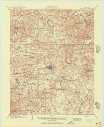
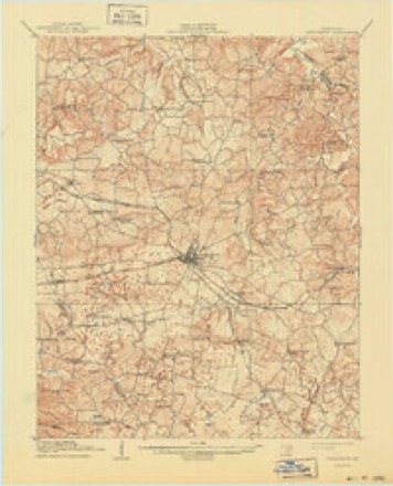
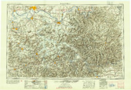
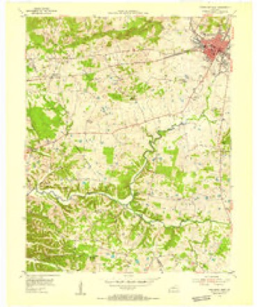
15 topographic sheets cover this place, the earliest surveyed in 1908 and the latest in 1983. It stands in the Princeton census division. It lies in ZIP code area 42445. The Survey maps it on the Princeton West quadrangle. It stands 538 feet above sea level.
Topographic sheets covering this place
8 surveys from 15 printed sheetsMatched by testing this settlement's coordinate against the published boundary of every sheet in the United States Geological Survey's historical collection. Each opens the scanned sheet at the Survey.
- 1908 USGS Princeton quadrangle1:62500
- 1910 USGS Princeton quadrangle1:62500, 5 printings
- 1954 USGS Evansville quadrangle1:250000
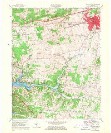
- 1954 USGS Princeton West quadrangle1:24000
- 1957 USGS Evansville quadrangle1:250000, 3 printings
- 1961 USGS Evansville quadrangle1:250000, 2 printings
- 1967 USGS Princeton West quadrangle1:24000
- 1983 USGS Madisonville quadrangle1:100000
Fires near this place
22 since 1997Regional context, not property-specific evidence. The federal wildfire occurrence database lists 22 fires within 5 miles of Dulaney between 1997 and 2020, burning about 60 acres in total. None started naturally. 2 were recorded as arson. Distance is straight-line from the map coordinates, so a fire counted here may appear on a neighbouring settlement's page as well.
| Reported cause | Fires |
|---|---|
| Missing data/not specified/undetermined | 8 |
| Recreation and ceremony | 6 |
| Railroad operations and maintenance | 3 |
| Debris and open burning | 2 |
| Arson/incendiarism | 2 |
| Smoking | 1 |
The most recent of them, most recent first, with the day each was reported and the service that recorded it.
| Date | Cause | Size | Reported by | Name on the report |
|---|---|---|---|---|
| 20 September 2004 | Missing data/not specified/undetermined | 2.0 acres | Kentucky Division of Forestry | not named |
| 10 September 2009 | Railroad operations and maintenance | 1.0 acres | Kentucky Division of Forestry | not named |
| 24 July 2012 | Debris and open burning | under an acre | Kentucky Division of Forestry | BOTTLE RO |
| 22 June 2012 | Missing data/not specified/undetermined | 1.5 acres | Kentucky Division of Forestry | DEAD BIRD |
| 21 April 1999 | Railroad operations and maintenance | 2.0 acres | Kentucky Division of Forestry | not named |
| 11 April 1997 | Debris and open burning | 2.0 acres | Kentucky Division of Forestry | not named |
| 8 March 2002 | Recreation and ceremony | 2.0 acres | Kentucky Division of Forestry | not named |
| 5 March 2002 | Arson/incendiarism | 10 acres | Kentucky Division of Forestry | not named |
Settlements close enough to share some of these fires:
Mines and quarries near this place
1 within 5 milesRegional context, not property-specific evidence. The federal mineral resources record lists 1 working within 5 miles of Dulaney: 1 occurrence. None of them still produces. What was taken out: Cobalt, Manganese, Nickel, Iron. Distance is straight-line from the map coordinates, so a quarry counted here may appear on a neighbouring settlement's page as well.
| Where | Site | Commodity | Status | Recorded |
|---|---|---|---|---|
| Jesse Redd Prospect | Cobalt, Manganese, Nickel, Iron | Occurrence | 1904 |
Storms near this place
5 since 2009Regional context, not property-specific evidence. The National Weather Service names Dulaney in 5 storm reports between 2009 and 2024: 2 thunderstorm wind, 1 flash flood, 1 flood, 1 tornado. The reports record 4 deaths and 11 injuries. Each account below is quoted exactly as the forecast office filed it, from the NOAA Storm Events Database, and each date opens the federal record of that event.
| When | Event | Place named | Harm | What the report says |
|---|---|---|---|---|
| December 2021 | Tornado (EF4) | Dulaney | 4 killed, 11 hurt | This historic EF-4 tornado was associated with a very long-track supercell that originally formed over eastern Arkansas. The supercell produced a nearly continuous tornado damage path from northeast Arkansas across western Tennessee and western Kentucky. The starting point of this particular tornado was in northwest Tennessee, northwest of Union City (see Storm Data, Tennessee, Western for information on this and other tornadoes associated with the supercell). The tornado crossed from Lyon County into Caldwell County in a rural area about 7 miles east southeast of Eddyville. The tornado crossed the Princeton Golf and Country Club resulting in collapsed walls of nearby homes (DI 2, DOD 10). This is where it achieved its highest rating of EF-4. A house near this country club received the highest wind speed estimate in the county, which was 180 mph. The tornado crossed southeast of Princeton, destroying large sections of the University Of Kentucky Research and Education Center (DI 15, DOD 10). The tornado then damaged many homes and trees near and just south of U.S. Highway 62 (Dawson Road). Just southwest of the intersection of US 62 and CR 2619, the tornado took a more easterly path (or rightward jog), continuing to damage homes along U.S. Highway 62 (Dawson Road) (DI 2, DOD 9). Two of the fatalities occurred at permanent homes on Dawson Road. The tornado trajectory then shifted back to northeast (or leftward jog), after which it crossed into Hopkins County on the southwest side of Dawson Springs. There were four fatalities in Caldwell County, with 11 others injured, 3 critically. All four of the deceased were found outside their residences. A couple who resided in a mobile home were both killed between Princeton and Dawson Springs. In total, around 300 structures were completely destroyed. The average path width was a mile. |
| May 2011 | Flood | Dulaney | $250,000 | no account filed |
| May 2024 | Thunderstorm Wind | Dulaney | $75,000 | Trees were downed in Princeton as a thunderstorm line moved eastward through Caldwell County. Most of Caldwell County lost power as a result of morning thunderstorms. |
| August 2015 | Thunderstorm Wind | Dulaney | $8,000 | Near the intersection of Highways 903 and 515, a microburst carved a path of downed trees about 250 yards long. Single trees were damaged up to three-quarters of a mile away from the damage path. |
| June 2009 | Flash Flood | Dulaney | - | Widespread flooding was reported throughout Princeton. Several streets were impassable and closed, and water neared a few homes. A mesonet site at Princeton recorded 3.34 inches in just over three hours. Widespread street flooding occurred throughout the community of Farmersville. |
Nearest settlements
The eight closest, with where each one stands in the county. Distances are straight-line, computed from the Geographic Names Information System coordinates.
| Map | Place | Distance | Sheets |
|---|---|---|---|
| Hollinsworth Post Office (historical) | 2.0 miles | 15 | |
| White Sulphur | 4.0 miles | 15 | |
| Crider | 4.2 miles | 15 | |
| Crowtown | 5.1 miles | 15 | |
| Princeton | 5.3 miles | 15 | |
| Rock Spring (historical) | 5.9 miles | 15 | |
| Hickory Grove | 6.5 miles | 18 | |
| Bakers | 6.7 miles | 18 |
Elsewhere
Matched on this settlement's Geographic Names Information System number rather than its name, so it cannot be a different place of the same name in another state.
| Wikipedia article on Dulaney | An encyclopaedic summary. Its text is share-alike, so it is linked here rather than copied. |
| Wikidata item Q14690341 | The structured record the population and elevation above come from. Public domain (CC0). |
Provenance
This settlement is recorded in the Geographic Names Information System as feature 507886. The sheet list is computed by point-in-boundary test against the United States Geological Survey's historical topographic inventory. Both are works of the United States government and carry no copyright under 17 U.S.C. 105.
Wildfire. Short, Karen C. 2022. Spatial wildfire occurrence data for the United States, 1992-2020 [FPA_FOD_20221014]. 6th Edition. Fort Collins, CO: Forest Service Research Data Archive. https://doi.org/10.2737/RDS-2013-0009.6 Collected with United States Government funding and usable without additional permissions or fees.
Mines and quarries. USGS Mineral Resources Data System (MRDS) https://mrdata.usgs.gov/mrds/ A work of the United States government, no copyright under 17 U.S.C. 105.
Storms. NOAA National Centers for Environmental Information, Storm Events Database https://www.ncei.noaa.gov/stormevents/ A work of the United States government, no copyright under 17 U.S.C. 105. Narratives are quoted verbatim from the National Weather Service report and are not edited or summarised.