 Block
From the record
11 National Register listings published here.
Sources: the National Register database, National Park Service
65 topographic sheets and 8 fire insurance atlases across 1 place.
11 National Register listings published here.
Sources: the National Register database, National Park Service
Every property in this county listed on the National Register of Historic Places, with the year it was listed and the federal nomination document.
| Photograph | Property | Type | Listed | Reference |
|---|---|---|---|---|
 | Adsmore | building | 1973 | 73000793 |
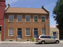 | Champion-Shepherdson House | building | 1978 | 78003411 |
| Confederate Soldier Monument in Caldwell | object | 1997 | 97000712 | |
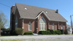 | Fredonia Cumberland Presbyterian Church | building | 1985 | 85001746 |
| Halleck's Chapel and Halleck's School | building | 2001 | 01000802 | |
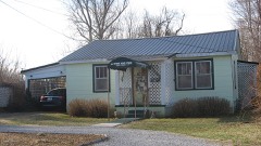 | Knott House | building | 1999 | 97001238 |
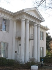 | L. B. Overby House | building | 1990 | 90000476 |
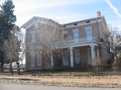 | William S. Powell House | building | 1995 | 95000641 |
 | Princeton Downtown Commercial District | district | 1988 | 88001017 |
| State Road-Hill Cemetery Segment | structure | 2020 | 100005312 | |
| State Road-Hill Cemetery Segment | structure | 2020 | 100005312 |
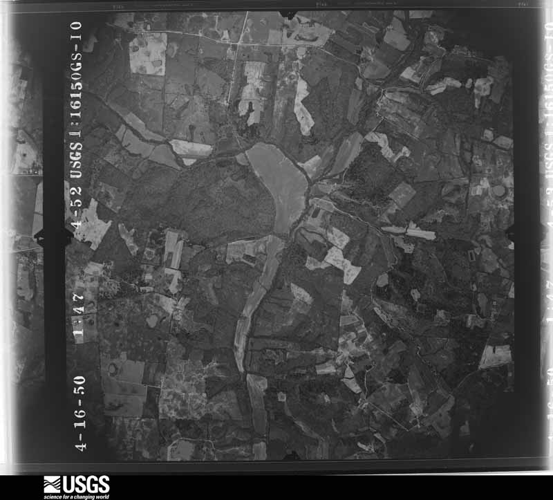
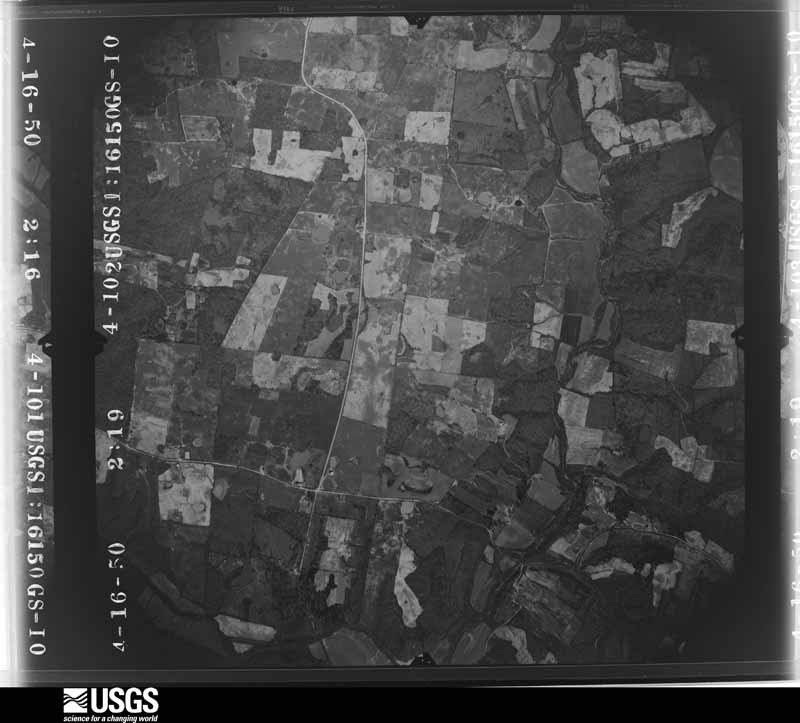
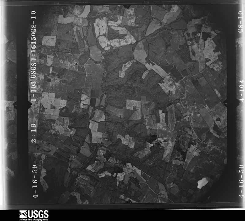
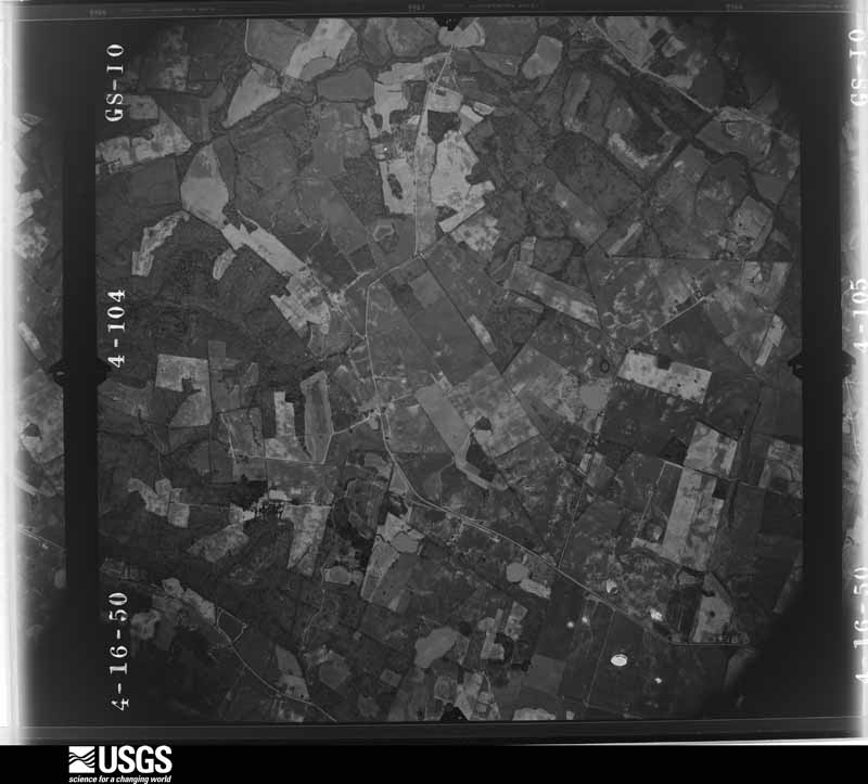
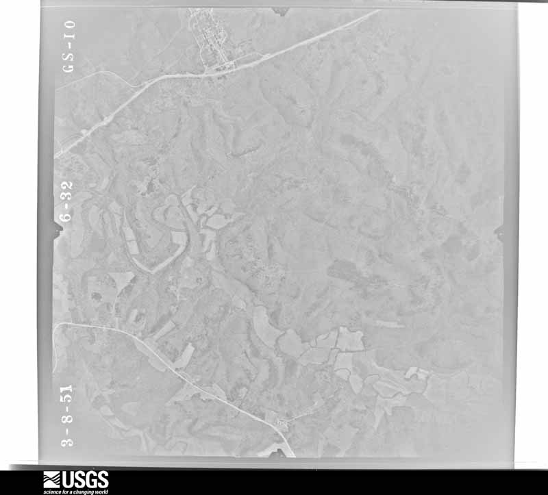
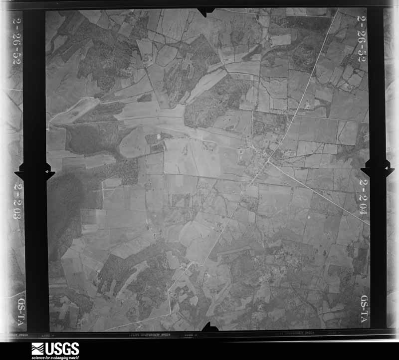
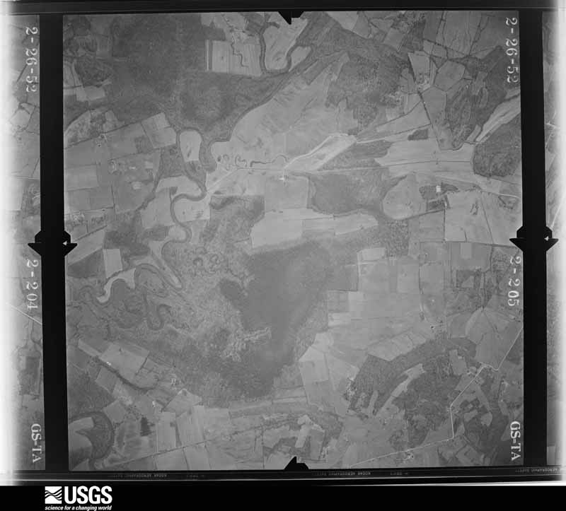
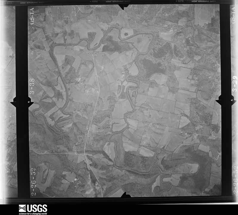
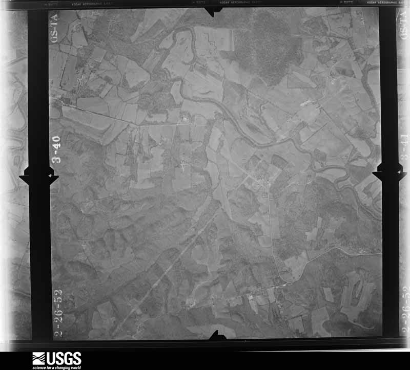
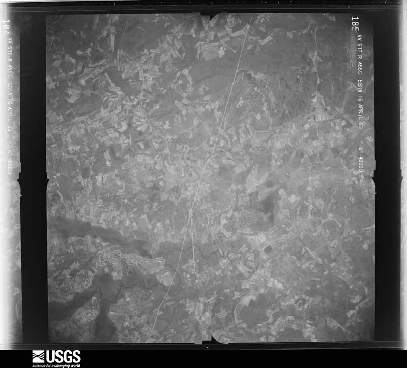
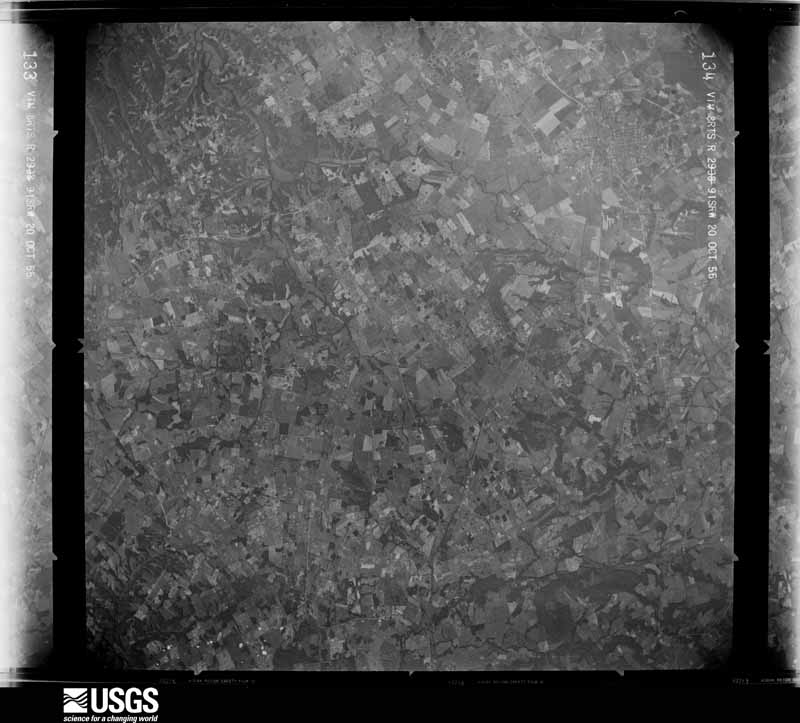
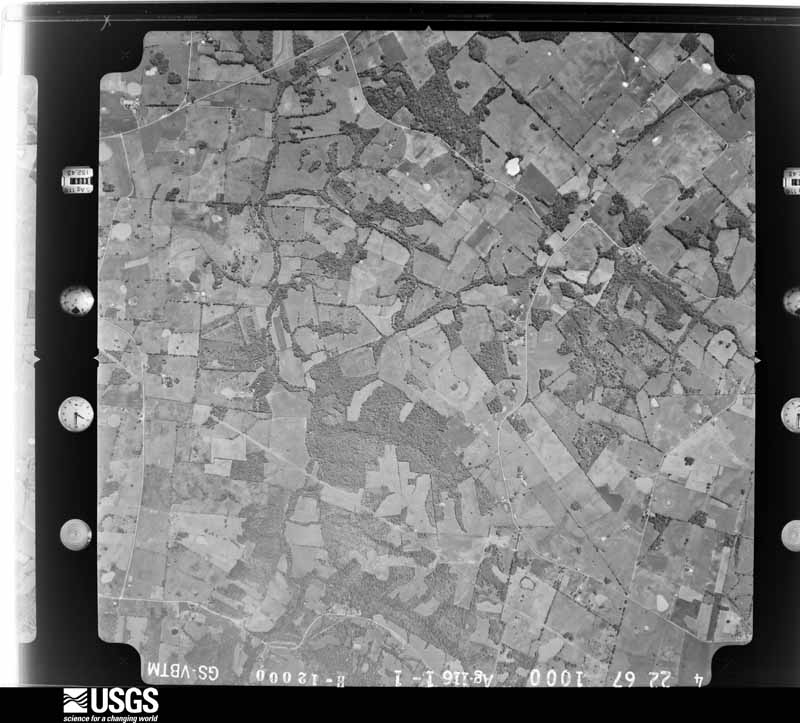
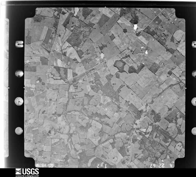
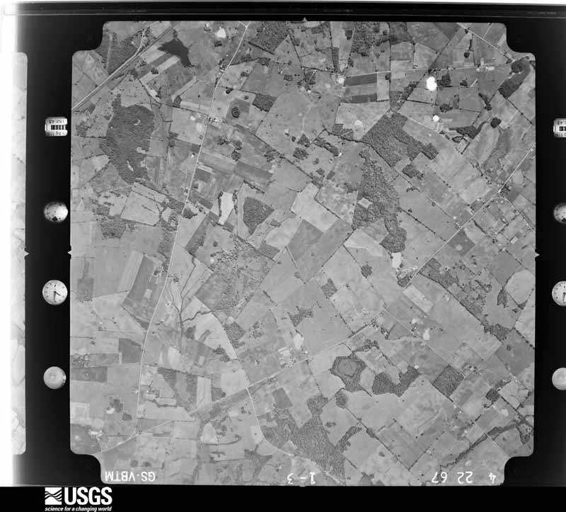
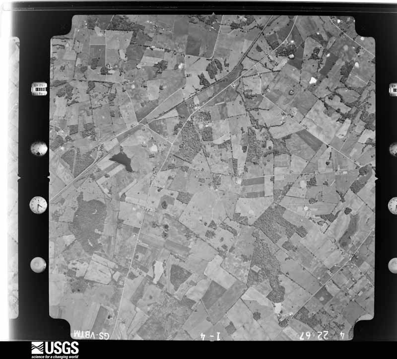
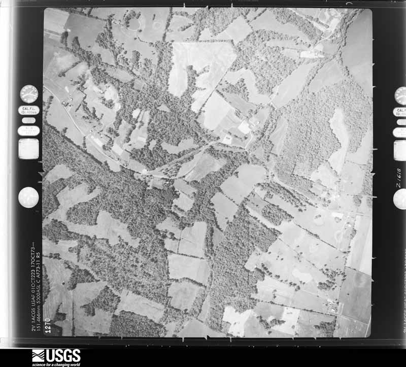
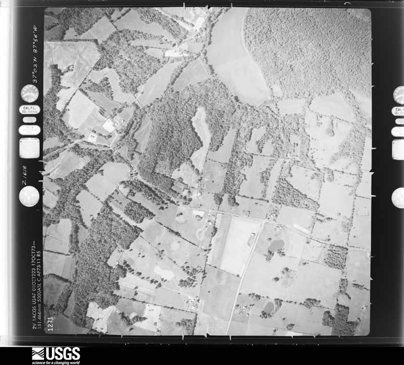
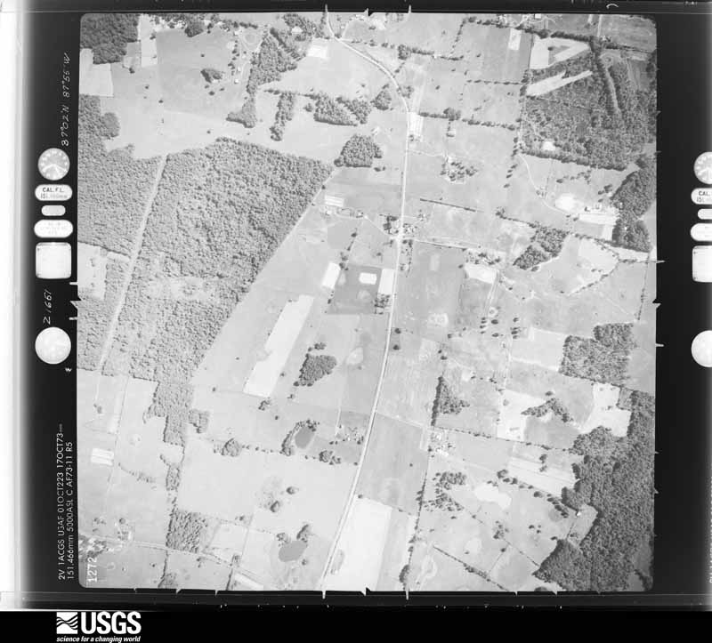
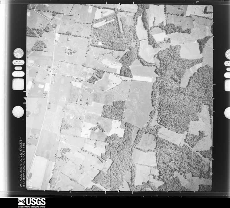
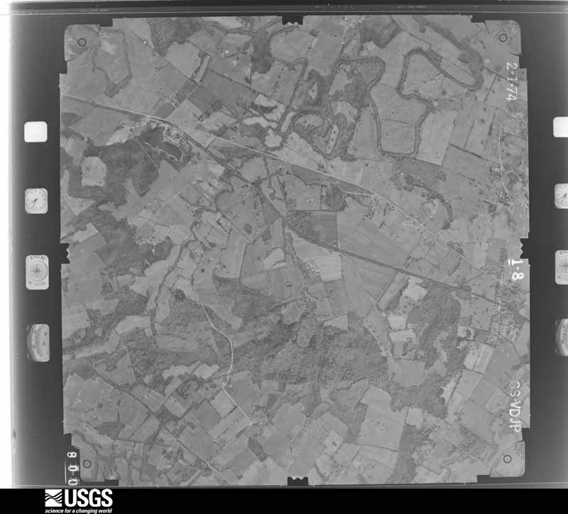
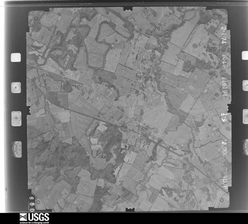
Flown by the U.S. Geological Survey between 1937 and 1989, the Aerial Photo Single Frames collection is the definitive mid-century view of the land: fields, roads and rivers as the camera saw them. The Survey holds 1,149 frames inside the rectangle that bounds this county; the 33 frames below were taken over the county itself, chosen across the decades of flights (at most four a year from that rectangle), so one flight cannot crowd out the rest. The full set is free to browse and download at EarthExplorer under the dataset Aerial Photo Single Frames.





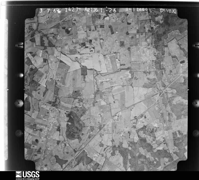
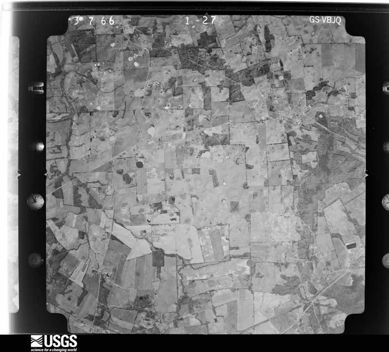
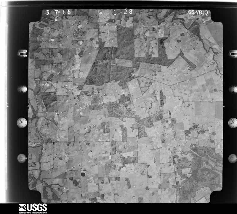
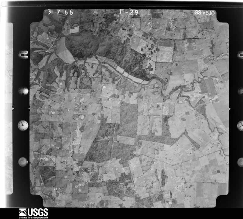



The thermometers that kept this county's weather, and the gages that measured the flow of its streams, as the federal records hold them. The extremes below are measured values from those records, not estimates.
Who lived here in 1950, one enumeration district at a time, as the Census Bureau described each district. Each row opens its official National Archives result, with Population Schedules and ED Maps available there.
Every wildfire the federal occurrence database records inside this county: 87 of them, burning about 594 acres. 2 started naturally and 3 were recorded as arson. Each settlement page carries the fires within five miles of it.
| Reported cause | Fires |
|---|---|
| Missing data/not specified/undetermined | 28 |
| Recreation and ceremony | 28 |
| Railroad operations and maintenance | 11 |
| Smoking | 7 |
| Debris and open burning | 6 |
| Arson/incendiarism | 3 |
| Natural | 2 |
| Equipment and vehicle use | 2 |
The five largest, by the area the report gives. One of them was set deliberately.
| Date | Cause | Size | Reported by | Name on the report |
|---|---|---|---|---|
| 28 March 1998 | Missing data/not specified/undetermined | 150 acres | Kentucky Division of Forestry | not named |
| 28 October 1999 | Arson/incendiarism | 115 acres | Kentucky Division of Forestry | not named |
| 6 September 1999 | Smoking | 40 acres | Kentucky Division of Forestry | not named |
| 30 March 2015 | Recreation and ceremony | 20 acres | Kentucky Division of Forestry | EVANS MILL ROAD |
| 14 March 2014 | Recreation and ceremony | 16 acres | Kentucky Division of Forestry | FLAT ROCK |
| 7 March 2016 | Recreation and ceremony | 15 acres | Kentucky Division of Forestry | R WHITE ROAD |
| 27 August 2012 | Railroad operations and maintenance | 15 acres | Kentucky Division of Forestry | LITTLE PI |
| 24 March 2014 | Recreation and ceremony | 13 acres | Kentucky Division of Forestry | MT. HEBRON CH. RD. |
Every settlement page carries the fires within five miles of it - see the settlement index below.
The NOAA Storm Events Database holds 178 reports for this county, causing 6 deaths, 24 injuries and about $5,630,500 in recorded property damage. Each settlement page carries the reports that name it.
| Kind of event | Reports |
|---|---|
| Thunderstorm Wind | 69 |
| Hail | 46 |
| Flash Flood | 21 |
| Tornado | 18 |
| Flood | 11 |
| Heavy Rain | 7 |
| Funnel Cloud | 5 |
| Debris Flow | 1 |
The most serious of them, by death, then injury, then recorded damage. The accounts are quoted exactly as the forecast office filed them.
| When | Event | Place named | Harm | What the report says |
|---|---|---|---|---|
| December 2021 | Tornado (EF4) | Dulaney | 4 killed, 11 hurt | This historic EF-4 tornado was associated with a very long-track supercell that originally formed over eastern Arkansas. The supercell produced a nearly continuous tornado damage path from northeast Arkansas across western Tennessee and western Kentucky. The starting point of this particular tornado was in northwest Tennessee, northwest of Union City (see Storm Data, Tennessee, Western for information on this and other tornadoes associated with the supercell). The tornado crossed from Lyon County into Caldwell County in a rural area about 7 miles east southeast of Eddyville. The tornado crossed the Princeton Golf and Country Club resulting in collapsed walls of nearby homes (DI 2, DOD 10). This is where it achieved its highest rating of EF-4. A house near this country club received the highest wind speed estimate in the county, which was 180 mph. The tornado crossed southeast of Princeton, destroying large sections of the University Of Kentucky Research and Education Center (DI 15, DOD 10). The tornado then damaged many homes and trees near and just south of U.S. Highway 62 (Dawson Road). Just southwest of the intersection of US 62 and CR 2619, the tornado took a more easterly path (or rightward jog), continuing to damage homes along U.S. Highway 62 (Dawson Road) (DI 2, DOD 9). Two of the fatalities occurred at permanent homes on Dawson Road. The tornado trajectory then shifted back to northeast (or leftward jog), after which it crossed into Hopkins County on the southwest side of Dawson Springs. There were four fatalities in Caldwell County, with 11 others injured, 3 critically. All four of the deceased were found outside their residences. A couple who resided in a mobile home were both killed between Princeton and Dawson Springs. In total, around 300 structures were completely destroyed. The average path width was a mile. |
| July 2015 | Flash Flood | Black Hawk | 1 killed, $80,000 | Torrential rain caused flash flooding of a creek along the Caldwell/Trigg County border known as Long Pond Branch. Kentucky Highway 276 was washed out where the creek crosses the highway through a culvert. The washout was estimated to be about 20 feet deep and 60 feet wide where it crosses the highway. One vehicle entered the flooded creek and was swept approximately 300 yards downstream into Trigg County. The body of a 61-year-old woman was found inside the submerged and overturned vehicle. The incident was witnessed by a utility crew working on a power outage in the area. The crew watched as the road was washed out from under the car. Farmers in the local area measured about four inches of rain in two hours. |
| February 2025 | Flood | Farmersville | 1 killed | Flash flooding on the 15th transitioned to areal flooding early on the 16th. Portions of several state highways were closed, including Highway 139 south of Farmersville, Highway 91 northwest of White Sulphur, Highway 293 southwest of Princeton, and Highway 126 from Highway 128 to the Trigg County line. The bulk of the flooding ended on the 16th, but the time was extended into the 17th for a fatality that occurred when flood waters washed a man's car off the levee and into the spillway of Lake Beshear. |
| April 1968 | Tornado (F4) | not stated | 5 hurt | no account filed |
| May 2024 | Tornado (EF2) | Crider | 4 hurt, $500,000 | An EF-3 tornado (max of EF-2 in Caldwell County) began northeast of Eddyville in Lyon County before crossing into Caldwell County near Pleasant Valley Rd. The tornado tracked east-northeastward through the entirety of Caldwell County, crossing over into Hopkins County north of I-69 and south of Young Cemetery Rd. The tornado briefly weakened northwest of Princeton. It then strengthened producing EF-2 damage north of Princeton near KY-293 N, blowing apart a manufactured home. Additional structures, trees, and power lines were damaged in Caldwell County. For Caldwell County, 4 people were injured and one person (54m, indirect) suffered a heart attack while cleaning up debris the following day, passing away as a result. Peak estimated winds with the Caldwell County portion of the tornado were 130 mph. |
| April 1970 | Tornado (F3) | not stated | 3 hurt | no account filed |
| July 1987 | Thunderstorm Wind | not stated | 1 hurt | no account filed |
| May 2025 | Thunderstorm Wind | Lakeview | $2,100,000 | An NWS damage survey found straight line wind damage associated with winds of 80 to 93 mph impacted Princeton, KY, on the evening of Friday, May 16, 2025. The most severe damage occurred in downtown Princeton, where a business lost its roof and several homes suffered minor to major damage due to trees falling onto homes. Numerous large tree limbs were downed across the city. Emergency management also reported power poles snapped, a tree fell onto a house on U.S. 62 on the west side of Princeton, while another tree falling onto a house on W Green St, destroying it. |
| May 1995 | Tornado (F2) | Fredonia | $500,000 | The damage path began in extreme southern Crittenden County two miles south of Frances, and it ended four miles east of Fredonia in Caldwell County. The track was through sparsely populated farm country, so damage figures were relatively low for such a long track tornado. At each of five farmsteads in the direct path of the tornado, farm buildings were destroyed. Destroyed farm buildings included hen houses, hog sheds, several barns, and storage sheds. The worst damage, apparently of F2 intensity, occurred at a farm one mile south of Fredonia. About $250,000 damage occurred at this farmstead alone, where a 70 foot tall concrete silo was sheared in two. Elsewhere along the track, barns were flattened, a garage was turned sideways, and a roof was lifted off a house. Scraps of building debris were blown over a mile. A storage building at an appliance store was moved 20 to 30 feet, exposing new appliances for sale. At one residence, a child was moved off its bed moments before a 2x4 blew through the window into the child's bedroom. Damage to outdoor objects and equipment was extensive. A 1,000 gallon tank was blown away, and grain bins were moved. Fences and satellite dishes were destroyed. Damage to expensive farm equipment, such as combines and hay balers, was moderate. Along wooded sections of the damage path, every tree was snapped or uprooted. Utility poles were snapped or blown over. |
| October 2007 | Tornado (EF2) | Otter Pond | $250,000 | Numerous trees were snapped or uprooted. Trees landed across roads. At least a half dozen small barns were destroyed. Several roofs were lifted and torn off houses. Major structural damage was reported to seven homes. Windows were broken in houses. Peak winds were estimated near 110 mph. The damage path ended very close to the boundary of the Pennyrile State Forest. |
| May 2011 | Flood | Dulaney | $250,000 | no account filed |
| February 2018 | Flood | Lewistown | $200,000 | U.S. Highway 62 was restricted to one lane due to a landslide near the Hopkins County line. |
| November 2013 | Tornado (EF1) | Princeton | $200,000 | A large metal building sustained partial loss of the roof and a wall. Several power poles were snapped. The porch was lifted up from the front of a house. Several homes and businesses sustained partial shingle loss. Dozens of trees were snapped or uprooted. The Western Kentucky Parkway was shut down in Princeton after a large power transmission line fell onto the roadway near a sub-station. Peak winds were estimated near 100 mph. The maximum intensity of the tornado was at the Western Kentucky Parkway interchange with Kentucky Route 91 in Princeton. |
| January 2020 | Tornado (EF1) | Hopson | $100,000 | The tornado touched down on Highway 514 near Highway 139. Partial roof damage was reported to three homes. At least a half dozen barns or outbuildings were damaged or destroyed, mostly in the Caldwell County portion of the track. Four wooden high tension power poles were taken down. At least dozens of trees were snapped or uprooted. Peak winds were estimated near 100 mph. The tornado continued east into Christian County. |
| April 2011 | Flash Flood | Lakeview | $100,000 | The drainage system of the city of Princeton was overwhelmed by torrential rain. Sections of up to 25 streets were shut down. Residents in some of the hardest-hit areas evacuated. A few homes and businesses were affected. |
| April 2011 | Tornado (EF1) | Bakers | $100,000 | The tornado continued from Lyon County into Caldwell County. Near U.S. Highway 641, several trees were uprooted and snapped. A carport was destroyed, but damage to homes was mainly to shingles. To the east of Fredonia, a barn was destroyed with debris blown several hundred yards. Nearby barns sustained major roof damage, and several power poles were snapped. To the northeast of this area, mainly tree and shingle damage occurred. The tornado was on the ground intermittently throughout the path. Peak winds were estimated near 95 mph. The average path width was 75 yards. |
| April 2008 | Flood | Princeton | $100,000 | Seven state highways were covered by water, including U.S. Highway 641 near the Lyon County line. State Route 139 was covered with water north of Princeton near the 14 mile marker. A bridge was washed out on a secondary road near Creswell. Other less travelled roads across the county were covered. |
| August 2005 | Flash Flood | Princeton | $100,000 | Much of Princeton was underwater after local residents reported five to six inches of rainfall in less than two hours. Yards and streets were left flooded and impassable. In one of the hardest hit neighborhoods, waist-deep water kept a street closed for hours after the rain stopped. About a dozen streets, including some main arteries such as Kentucky 91, were closed. A number of vehicles stalled in the flooding. City workers helped stranded motorists out of the flooding. Several buildings sustained flood damage, which was aggravated by waves in the wake of passing vehicles. About 18 inches of water backed up into a laundromat. Three to four inches of water covered a factory warehouse floor, causing an estimated 10,000 dollars in damage. Water entered fewer than a dozen houses, mostly flooding basements. In one house, the basement filled up, and water spilled onto the first floor. At the local electric plant, floodwater from Eddy Creek was chest-deep in the plant's storage yard, and water entered garages where trucks are parked. At the city's hospital, a basement filled with water, which was pumped out by the fire department. The flooding was described by an emergency management director as the city's worst flooding in 18 years. |
| March 1997 | Flash Flood | Princeton | $100,000 | no account filed |
| May 2024 | Thunderstorm Wind | Dulaney | $75,000 | Trees were downed in Princeton as a thunderstorm line moved eastward through Caldwell County. Most of Caldwell County lost power as a result of morning thunderstorms. |
| July 2023 | Tornado (EF1) | Black Hawk | $75,000 | Peak winds were estimated near 100 mph. A mobile home was lifted and moved about 30 feet. The mobile home as well as a small barn were destroyed. Several trees were snapped, with large limbs down as well. The brief tornado occurred along Highway 139, just northeast of the Interstate 24 exit. |
| May 2010 | Flash Flood | Crider | $75,000 | Severe flash flooding was reported in Princeton. Most streets in Princeton were under at least two feet of water. Police vehicles were unable to navigate the flooded streets, so officers used city street department trucks instead. Several vehicles that ventured into the flooding were disabled in floodwaters and had to be towed. Several homes were flooded with two feet of water, necessitating evacuations. |
| May 2008 | Thunderstorm Wind | Creswell | $75,000 | A couple miles southeast of Farmersville, a barn was levelled. Nearby barns were damaged, along with roofs of houses. Trees were blown down, mainly across northern parts of the county. Several roads were blocked, including Highways 139 and 70 near Creswell. Power outages occurred. |
| January 2020 | Tornado (EF0) | Friendship | $50,000 | Hundreds of trees were snapped or uprooted. Where the tornado crossed State Route 91, one barn was destroyed and another was damaged. Elsewhere along the track, part of a barn roof was tossed across a road, and a house lost some siding. The tornado crossed into Christian County, where it intensified to EF-1. |
| July 2015 | Thunderstorm Wind | Princeton | $50,000 | A microburst with peak winds estimated near 80 mph raked parts of Caldwell County. Dozens of tree limbs and at least a dozen trees were blown down. Power lines were downed by a fallen tree. The roof of a farm shed was blown off. Two windows were blown out of a storefront in downtown Princeton. Several small signs were blown down. The path of the microburst began along Highway 91 northwest of Princeton. The path extended southeastward across the city of Princeton, reaching a maximum width of 4000 yards. The path length was just over 9 miles. |
| October 2004 | Tornado (F1) | Princeton | $50,000 | A residence on Fairview Church Road sustained major damage when it was struck by a large tree. There was severe roof damage, and much of the home's interior was damaged. Part of the ceiling collapsed, and the foundation was cracked. Other large trees landed across the driveway and demolished a fence. At a neighboring house, the wind bent a TV antenna and downed multiple trees. A swing set at another neighboring house was crushed by a large tree limb. Maximum winds in the tornado were estimated near 80 MPH. |
| September 2001 | Thunderstorm Wind | Princeton | $50,000 | Eight roofs were blown off buildings. One trailer home used for storage was demolished. Three power poles were snapped. Railroad crossing arms were broken off, and many vehicles were damaged. |
| June 1995 | Thunderstorm Wind | Countywide | $50,000 | Severe thunderstorm winds caused some structural damage. At a church community center in Princeton, the roof was ripped off and the chimney was knocked off the building. Numerous trees and power lines were downed. Several hundred residents lost power for 24 hours. Falling trees damaged a porch of one house. |
| January 2002 | Thunderstorm Wind | Princeton | $40,000 | Five residences, two barns, and other outbuildings were damaged. One home lost part of its roof and the entire back porch, which was blown onto the highway. Most of the damage was in the vicinity of Kentucky 293 and Briarfield Road. |
| July 2021 | Flash Flood | Farmersville | $30,000 | A woman was rescued from flash flooding near Farmersville. Deputy sheriffs responded to a county road just northwest of Farmersville, where a woman was trapped in a vehicle that had been swept off the road and wedged between two trees. The Jeep was almost completely submerged. A law officer attached a tow strap to himself and waded about 40 feet into the water, then broke a window to help the woman out of the vehicle. The deputy attached the tow strap to her, and another deputy helped pull them to safety. |
| July 2016 | Flash Flood | Princeton | $30,000 | Several feet of flowing water covered portions of parking lots and ball fields along Highway 139 near Princeton. A portion of a secondary road was impassable near Creswell. Near the Trigg County line, flash flooding of a creek known as Long Pond Branch washed out a section of Highway 276. This was the same site where a vehicle fatality occurred in July of 2015. At that time, the road was washed out beneath the vehicle. The vehicle was then carried over 300 yards into Trigg County by the rushing floodwaters. Temporary repairs were made after that incident, however the road was washed out again in the same spot during this storm. |
| July 2023 | Thunderstorm Wind | Princeton | $25,000 | A wind gust to 58 mph was recorded at the Kentucky mesonet site near Princeton. There were multiple reports of trees down in Princeton. Trees were down over Highway 903 four miles south-southwest of Princeton. |
| August 2009 | Thunderstorm Wind | Fredonia | $25,000 | Widespread damaging wind gusts from 60 to 70 mph raked parts of Caldwell County. The mesonet site two miles southeast of Princeton measured a wind gust to 67 mph. A trained spotter in Princeton estimated gusts to 65 mph. Near Fredonia, two barn roofs were blown off, blocking County Road 902 East. On Highway 293 north of Princeton, a carport was blown down, and windows were blown out of a building. |
| October 2007 | Tornado (EF1) | Creswell | $25,000 | Numerous trees were snapped or uprooted. Much of the damage path was in forest inaccessible by vehicle. No structures were known to be in the path of this tornado. Secondary roads were blocked by downed trees. The peak estimated wind speed was 90 mph. The damage path ended in the vicinity of the intersection of Highways 293 and 1592. |
| October 1996 | Flood | Princeton | $25,000 | no account filed |
| April 1958 | Tornado (F2) | not stated | $25,000 | no account filed |
| May 2010 | Flood | Lakeview | $20,000 | Kentucky Highway 128 was closed between mile markers 6 and 7. Kentucky Highway 139 was closed between mile markers 14 and 15. Several other secondary roads were closed throughout the county. One washout was reported on a county road. A mesonet site near Princeton recorded about 6.5 inches, including 3.6 inches on the 1st and 2.82 on the 2nd. |
| February 2025 | Debris Flow | Lewistown | $10,000 | Heavy rain(1-2) on the morning of the 15th led to a rock slide that closed the right lane of northbound Interstate 69 at the 87 mile marker. |
| May 2011 | Thunderstorm Wind | Cedar Bluff | $10,000 | A wind gust to 60 mph was measured by a Kentucky mesonet station just southeast of Princeton. There were a couple of outbuildings with some roof damage. Some trees were down. |
| August 2010 | Thunderstorm Wind | Princeton | $10,000 | A microburst demolished a wood barn. |
| January 2008 | Thunderstorm Wind | Princeton | $10,000 | Trees were blown down in the city and surrounding county roads. Some bricks were blown off buildings. |
| May 1996 | Thunderstorm Wind | Crider | $10,000 | no account filed |
| August 2015 | Thunderstorm Wind | Dulaney | $8,000 | Near the intersection of Highways 903 and 515, a microburst carved a path of downed trees about 250 yards long. Single trees were damaged up to three-quarters of a mile away from the damage path. |
| February 2014 | Tornado (EF0) | Claxton | $8,000 | Several small trees and tree limbs were broken. Peak winds were estimated near 70 mph. |
| June 2007 | Thunderstorm Wind | Cobb | $8,000 | On Highway 91, trees up to two feet in diameter were blown down. |
| March 2006 | Thunderstorm Wind | Princeton | $6,000 | Barns were blown down in Princeton. Several trees were blown across power lines in Fryer. |
| July 2023 | Thunderstorm Wind | Fredonia | $5,000 | Trees were blown down. |
| March 2017 | Thunderstorm Wind | Princeton | $5,000 | A wind gust to 77 mph was measured at a Kentucky mesonet site. Trees were damaged, including at least one uprooted tree in Princeton. |
| February 2011 | Thunderstorm Wind | Black Hawk | $5,000 | Along Interstate 24 near the Lyon County line, several small trees were down, along with snapped branches. An interstate sign was damaged. |
| June 2004 | Thunderstorm Wind | Princeton | $5,000 | A large tree fell on a vehicle. Large tree limbs were down also. |
| June 2002 | Thunderstorm Wind | Countywide | $5,000 | Several trees were blown down, some across roads. |
| May 1999 | Thunderstorm Wind | Princeton | $5,000 | Power lines and a few trees were down. |
| May 1998 | Thunderstorm Wind | Fredonia | $5,000 | Thunderstorm winds downed trees and power lines at Princeton and Fredonia. |
| July 1997 | Thunderstorm Wind | Princeton | $5,000 | Trees were down over power lines. |
| January 2000 | Flash Flood | Countywide | $5,000 | no account filed |
| November 2017 | Thunderstorm Wind | Crider | $4,000 | Trees were down near Highway 91 a few miles northwest of Princeton. |
| January 1999 | Thunderstorm Wind | Princeton | $4,000 | About a dozen trees were blown down across Caldwell County. |
| January 1996 | Thunderstorm Wind | Fredonia | $4,000 | no account filed |
| August 2015 | Flash Flood | Princeton | $3,000 | Water was over Kentucky Highway 91 in several places between the 17 and 21 mile markers. At one location, water was reported to be a foot deep with strong current. Brush and tree limbs swept along by the floodwaters clogged a culvert near the community of Crider. |
| May 2007 | Thunderstorm Wind | Princeton | $3,000 | A few downed trees blocked roads, mainly in north and east portions of the county. |
The Survey's mineral resources record lists 25 workings inside this county. 3 still produce and 22 are closed or unrecorded. Each settlement page carries the workings within five miles of it.
| Commodity | Workings |
|---|---|
| Fluorine-Fluorite | 17 |
| Stone, Crushed/Broken | 3 |
| Silica | 2 |
| Titanium | 1 |
| Cobalt, Manganese, Nickel, Iron | 1 |
| Tungsten | 1 |
The least common of them first, because a county's hundredth gravel pit says nothing its first ten did not.
| Where | Site | Commodity | Status | Recorded |
|---|---|---|---|---|
| Hobby Titanium Deposit | Titanium | Occurrence | ||
| Hobby Tungsten Deposit | Tungsten | Prospect | ||
| Jesse Redd Prospect | Cobalt, Manganese, Nickel, Iron | Occurrence | 1904 | |
| Phelps Sandstone Pit | Silica | Past Producer | ||
| Princeton Sandstone Pit | Silica | Prospect | ||
| Fredonia Quarry | Stone, Crushed/Broken | Producer | ||
| Princeton Mine | Stone, Crushed/Broken | Producer | ||
| Princeton No. 2 Mine | Stone, Crushed/Broken | Producer | ||
| Beavers Fluorite Prospect | Fluorine-Fluorite | Occurrence | ||
| Bright Mine | Fluorine-Fluorite | Past Producer | ||
| Eddie Crowder Mine | Fluorine-Fluorite | Past Producer | ||
| Gilbert Williamson Deposit | Fluorine-Fluorite | Past Producer | ||
| Hodge Number 1 Mine | Fluorine-Fluorite | Occurrence | ||
| Hodge Number 2 Mine | Fluorine-Fluorite | Occurrence | ||
| Hodge Number 3 Mine | Fluorine-Fluorite | Occurrence | ||
| Hodge Number 4 Mine | Fluorine-Fluorite | Occurrence | ||
| Morgan Heirs Fluorspar Tract | Fluorine-Fluorite | Prospect | ||
| S.L.Crook Mine | Fluorine-Fluorite | Past Producer | ||
| Schwench Mine | Fluorine-Fluorite | Past Producer | ||
| Senator Main Shaft | Fluorine-Fluorite | Past Producer | ||
| Senator No.1 Shaft | Fluorine-Fluorite | Past Producer | ||
| Senator No.2 Shaft | Fluorine-Fluorite | Past Producer | ||
| Silverstar Mine | Fluorine-Fluorite | Occurrence | ||
| Walker Fluorspar Mine | Fluorine-Fluorite | Past Producer | ||
| Warren Fluorspar Mine | Fluorine-Fluorite | Past Producer |
Named settlements recorded in the Geographic Names Information System, each with the topographic sheets covering it. Villages, hamlets and abandoned places alike. Each is shown with the nearest named watercourse or landform and the survey quadrangle it falls on. The 1 place that was also surveyed for fire insurance comes first, with the number of atlases and photographs held for them.
Princeton census division · 42445 · On Big Spring Branch · Princeton West quadrangle
15 sheets, 1908 to 1983
Fire insurance: 8 atlases
Fredonia census division · Near Hickory Ridge · Dalton quadrangle
13 sheets, 1909 to 1983
Princeton census division · 42445 · Near Coleman Ridge · Crider quadrangle
15 sheets, 1908 to 1983
No longer a settlement
Princeton census division · 42445 · Near Morse Hill · Olney quadrangle
15 sheets, 1908 to 1983
No longer a settlement
Fredonia census division · 42445 · On Briarfield Branch · Crider quadrangle
15 sheets, 1908 to 1983
No longer a settlement
Princeton census division · 42445 · By Ceda Bluff · Princeton East quadrangle
16 sheets, 1908 to 1983
Princeton census division · 42408 · Near Wildcat Ridge · Princeton East quadrangle
16 sheets, 1908 to 1983
Princeton census division · 42408 · On Eison Branch · Dawson Springs SW quadrangle
13 sheets, 1909 to 1983
No longer a settlement
Fredonia census division · 42411 · On Orr Branch · Shady Grove quadrangle
14 sheets, 1909 to 1983
Fredonia census division · 42411 · Near Farmer Knob · Crider quadrangle
15 sheets, 1908 to 1983
Princeton census division · 42445 · Near Dotson Ridge · Crider quadrangle
15 sheets, 1908 to 1983
Fredonia census division · 42064 · On Spring Branch · Shady Grove quadrangle
14 sheets, 1909 to 1983
Fredonia census division · 42445 · On O'Brion Branch · Crider quadrangle
15 sheets, 1908 to 1983
Fredonia census division · 42411 · By Fort Bluff · Crider quadrangle
15 sheets, 1908 to 1983
Fredonia census division · 42411 · On Sinking Fork Livingston Creek · Fredonia quadrangle
18 sheets, 1928 to 1987
Princeton census division · 42445 · Near Dunning Hill · Princeton East quadrangle
16 sheets, 1908 to 1983
Fredonia census division · 42445 · Near Sugar Ridge · Dalton quadrangle
13 sheets, 1909 to 1983
Princeton census division · 42445 · On Scott Branch · Princeton West quadrangle
15 sheets, 1908 to 1983
No longer a settlement
Princeton census division · 42408 · Near Allsbrook Ridge · Dawson Springs quadrangle
13 sheets, 1909 to 1983
Princeton census division · 42445 · Near Bald Knob · Princeton East quadrangle
16 sheets, 1908 to 1983
No longer a settlement
Princeton census division · 42445 · Near Carter Hill · Olney quadrangle
15 sheets, 1908 to 1983
Fredonia census division · 42411 · By The Bluff · Fredonia quadrangle
18 sheets, 1928 to 1987
No longer a settlement
Princeton census division · 42445 · On Wede Branch · Princeton East quadrangle
16 sheets, 1908 to 1983
Princeton census division · 42408 · By Hunter Bluff · Olney quadrangle
15 sheets, 1908 to 1983
Fredonia census division · 42445 · Near Stillhouse Hollow · Olney quadrangle
15 sheets, 1908 to 1983
Princeton census division · 42408 · Near Pine Knob · Dawson Springs quadrangle
13 sheets, 1909 to 1983
No longer a settlement
Princeton census division · 42445 · On Stevens Creek · Princeton East quadrangle
16 sheets, 1908 to 1983
Princeton census division · 42445 · On Goose Creek · Princeton West quadrangle
15 sheets, 1908 to 1983
No longer a settlement
Fredonia census division · 42445 · On Blackburn Branch · Crider quadrangle
15 sheets, 1908 to 1983
Princeton census division · 42408 · On Eison Branch · Dawson Springs SW quadrangle
13 sheets, 1909 to 1983
Princeton census division · 42445 · By Ceda Bluff · Princeton East quadrangle
16 sheets, 1908 to 1983
Fredonia census division · 42064 · On Land Branch · Dalton quadrangle
13 sheets, 1909 to 1983
No longer a settlement
Fredonia census division · 42445 · On Towery Branch · Dalton quadrangle
13 sheets, 1909 to 1983
Princeton census division · 42445 · On White Sulphur Creek · Crider quadrangle
15 sheets, 1908 to 1983
The vanished settlements of Caldwell County: the places named above that are no longer on the map.
15 topographic sheets and 8 fire insurance atlases, 1886 to 1949