 Block
Ebenezer, Kentucky
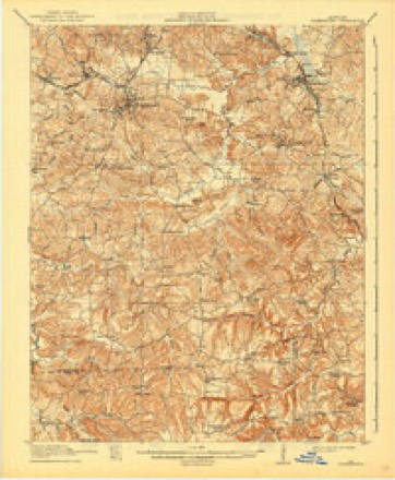
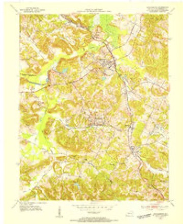
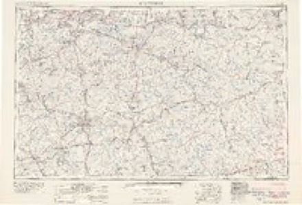
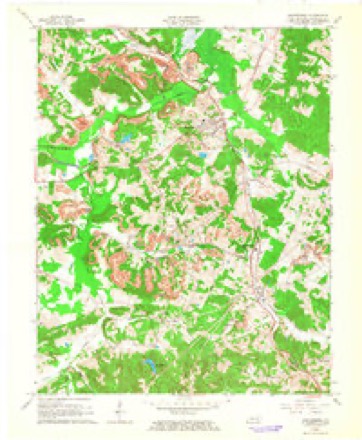
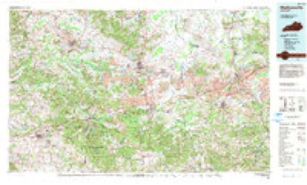
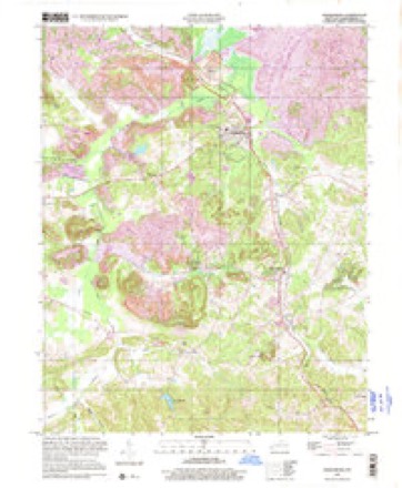
15 topographic sheets cover this place, the earliest surveyed in 1911 and the latest in 1997. It stands in the Drakesboro census division. It lies in ZIP code area 42337. It stands on Caney Creek. The Survey maps it on the Drakesboro quadrangle. It stands 522 feet above sea level.
Topographic sheets covering this place
9 surveys from 15 printed sheetsMatched by testing this settlement's coordinate against the published boundary of every sheet in the United States Geological Survey's historical collection. Each opens the scanned sheet at the Survey.
- 1911 USGS Drakesboro quadrangle1:48000
- 1913 USGS Drakesboro quadrangle1:62500, 2 printings
- 1953 USGS Drakesboro quadrangle1:24000
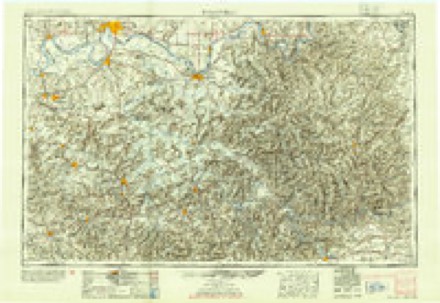
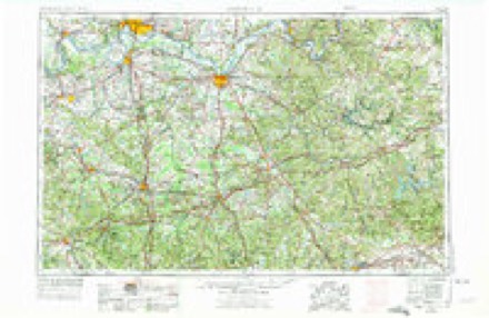
- 1954 USGS Evansville quadrangle1:250000
- 1957 USGS Evansville quadrangle1:250000, 3 printings
- 1961 USGS Evansville quadrangle1:250000, 2 printings
- 1963 USGS Drakesboro quadrangle1:24000, 3 printings
- 1983 USGS Madisonville quadrangle1:100000
- 1997 USGS Drakesboro quadrangle1:24000

Fires near this place
73 since 1997Regional context, not property-specific evidence. The federal wildfire occurrence database lists 73 fires within 5 miles of Ebenezer between 1997 and 2018, burning about 1,606 acres in total. 1 started naturally. 15 were recorded as arson. Distance is straight-line from the map coordinates, so a fire counted here may appear on a neighbouring settlement's page as well.
| Reported cause | Fires |
|---|---|
| Missing data/not specified/undetermined | 21 |
| Debris and open burning | 20 |
| Arson/incendiarism | 15 |
| Recreation and ceremony | 12 |
| Equipment and vehicle use | 2 |
| Smoking | 2 |
| Natural | 1 |
The most recent of them, most recent first, with the day each was reported and the service that recorded it.
| Date | Cause | Size | Reported by | Name on the report |
|---|---|---|---|---|
| 26 September 2008 | Recreation and ceremony | 1.0 acres | Kentucky Division of Forestry | not named |
| 24 September 2008 | Debris and open burning | 1.0 acres | Kentucky Division of Forestry | not named |
| 22 September 2010 | Debris and open burning | 15 acres | Kentucky Division of Forestry | not named |
| 2 September 1999 | Arson/incendiarism | 300 acres | Kentucky Division of Forestry | not named |
| 8 August 2010 | Debris and open burning | 7.0 acres | Kentucky Division of Forestry | DOG LADY |
| 7 August 2002 | Equipment and vehicle use | 4.0 acres | Kentucky Division of Forestry | not named |
| 31 August 2018 | Debris and open burning | 1.0 acres | Kentucky Division of Forestry | BEECH CREEK |
| 22 August 1999 | Debris and open burning | 35 acres | Kentucky Division of Forestry | not named |
Settlements close enough to share some of these fires:
Storms near this place
2 since 2013Regional context, not property-specific evidence. The National Weather Service names Ebenezer in 2 storm reports between 2013 and 2024: 1 flash flood, 1 tornado. No death or injury is recorded in these reports. Each account below is quoted exactly as the forecast office filed it, from the NOAA Storm Events Database, and each date opens the federal record of that event.
| When | Event | Place named | Harm | What the report says |
|---|---|---|---|---|
| May 2024 | Tornado (EF1) | Ebenezer | $750,000 | An EF-1 tornado began east of Greenville, northwest of Arnold Hill Rd and Wyatt Cemetery Rd. Trees were uprooted and topped, several homes had shingle and gutter damage. The tornado did extensive tree damage along Arnold Hill Rd, and lifted many sections of a 30x50 ft metal roof Barn. An anchored single wide was pushed off the foundation by 3 ft with windows blown out. Three homes had extensive roof covering material and shingles removed. Near the intersection of Hershel Davis Rd and Arnold Hill Rd, a large well-built 40x40 ft garage/barn incurred heavy damage with doors blowing out and half the roof gone. The tornado increased in width in the Beech Creek community to 400 yds. Dozens and dozens of trees were uprooted and topped and twisted, facing directions from the NW to SE. Several trees were on top of mobile homes and houses and a large metal roofing storage facility on KY-246 had 40% of its roof removed. Along Hazel Creek Rd off of KY-246, several garages and outbuildings had roofing completely removed, and there were large sections of roof peeled back and some removed at a chicken farm, as the width increased to 500 yds. Telephone poles were bent and snapped and a very healthy 12-ft diameter oak tree was twisted and snapped 5 ft from the base. Off of US-431 in the Beechmont community, along Green Meadows St, some large oak and sycamore trees were uprooted, falling onto multiple vehicles. Homes had siding, soffit, gutter, and shingle damage. There was a also a lot of straight line wind damage on both sides of the tornado of 75-85 mph for up to a half mile. The tornado was at its widest near KY-2270 between Gaston Rd and Little Hazel Creek, at 600 yds, with hundreds of trees down facing in all directions. There were power lines down all over the place. A one story house had its roof removed. Wind speeds of 90-100 mph continued all along Mud River Union Rd, with drone photography detecting trees uprooted in the rugged countryside, connecting the path into Butler County. Including Butler and Warren Counties, the tornado tracked 41.1 miles. Peak estimated winds in Muhlenberg County, and for the tornado as a whole, were 110 mph. NWS Paducah thanks NWS Louisville for their assistance surveying this tornado. |
| June 2013 | Flash Flood | Ebenezer | $200,000 | Rapidly rising floodwaters inundated some buildings in Greenville, including a rest home. The rest home was sandbagged after a couple inches of water entered the facility. Some roads in Greenville were flooded. At least one house was isolated by floodwaters in the Belton area, prompting an evacuation. Numerous roads were flooded and impassable in the Beechmont and Belton areas along U.S. Highway 431. Impassable roads included portions of U.S. Highway 431, as well as State Routes 70, 2270, and 1163. At least one vehicle was stranded. About ten homes were flooded. Luzerne Lake flooded portions of Kentucky Highways 601 and 189. Floodwaters threatened a power substation. |
Nearest settlements
The eight closest, with where each one stands in the county. Distances are straight-line, computed from the Geographic Names Information System coordinates.
| Map | Place | Distance | Sheets |
|---|---|---|---|
| Drakesboro | 1.9 miles | 15 | |
| Beech Creek | 2.1 miles | 15 | |
| Peanut (historical) | 2.2 miles | 15 | |
| Elk Valley (historical) | 2.3 miles | 15 | |
| Sunrise (historical) | 2.4 miles | 15 | |
| Browder | 2.4 miles | 15 | |
| Nonnell | 2.6 miles | 15 | |
| Liberty Hill (historical) | 2.6 miles | 15 |
Elsewhere
Matched on this settlement's Geographic Names Information System number rather than its name, so it cannot be a different place of the same name in another state.
| Wikipedia article on Ebenezer | An encyclopaedic summary. Its text is share-alike, so it is linked here rather than copied. |
| Wikidata item Q5331625 | The structured record the population and elevation above come from. Public domain (CC0). |
Provenance
This settlement is recorded in the Geographic Names Information System as feature 491532. The sheet list is computed by point-in-boundary test against the United States Geological Survey's historical topographic inventory. Both are works of the United States government and carry no copyright under 17 U.S.C. 105.
Wildfire. Short, Karen C. 2022. Spatial wildfire occurrence data for the United States, 1992-2020 [FPA_FOD_20221014]. 6th Edition. Fort Collins, CO: Forest Service Research Data Archive. https://doi.org/10.2737/RDS-2013-0009.6 Collected with United States Government funding and usable without additional permissions or fees.
Storms. NOAA National Centers for Environmental Information, Storm Events Database https://www.ncei.noaa.gov/stormevents/ A work of the United States government, no copyright under 17 U.S.C. 105. Narratives are quoted verbatim from the National Weather Service report and are not edited or summarised.