 Block
From the record
12 National Register listings published here.
Sources: the county history on the Internet Archive · the National Register database, National Park Service
73 topographic sheets and 8 fire insurance atlases across 1 place.
12 National Register listings published here.
Sources: the county history on the Internet Archive · the National Register database, National Park Service
Taken for the Office of War Information and the Farm Security Administration, who photographed the country between 1935 and 1944. Works of United States government photographers, with no known restriction on use. Each opens its catalogue record.


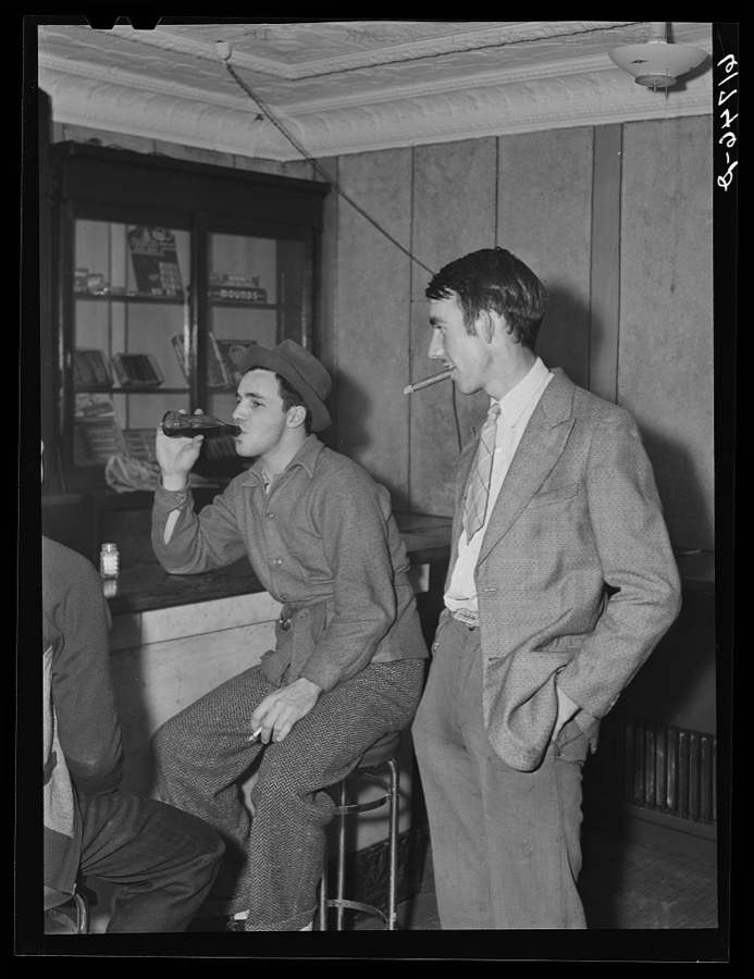
Every property in this county listed on the National Register of Historic Places, with the year it was listed and the federal nomination document.
| Photograph | Property | Type | Listed | Reference |
|---|---|---|---|---|
| J. A. Gilman House | building | 2020 | 100005194 | |
 | Greenville City Hall | building | 1985 | 85001906 |
 | Greenville Commercial Historic District | district | 1985 | 85001903 |
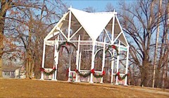 | Martin House | building | 1985 | 85001900 |
 | Muhlenberg County Courthouse | building | 1978 | 78001390 |
 | North Main Street Historic District | district | 1985 | 85001904 |
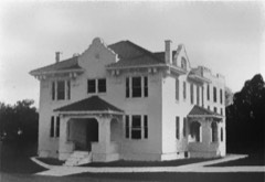 | Old Muhlenberg County Jail | building | 1985 | 85001901 |
| Rice Tobacco Factory | building | 1985 | 85001902 | |
| George Short House | building | 1980 | 80001661 | |
 | South Cherry Street Historic District | district | 1985 | 85001905 |
| Edward Taylor House | building | 2024 | 100009728 | |
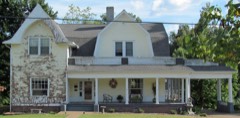 | Robert Thomas House | building | 1990 | 90001833 |
Sampled issues, machine-read from the Library of Congress scan and published page by page, so every headline and column is searchable text.
Greenville, Ky., 1899 to 1???. Machine-read from the Library of Congress scan.
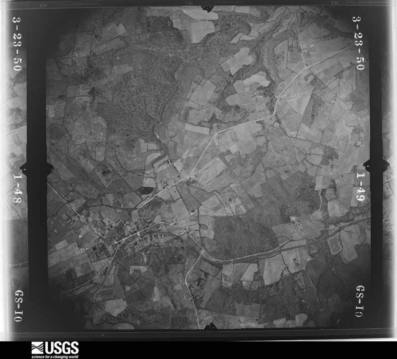
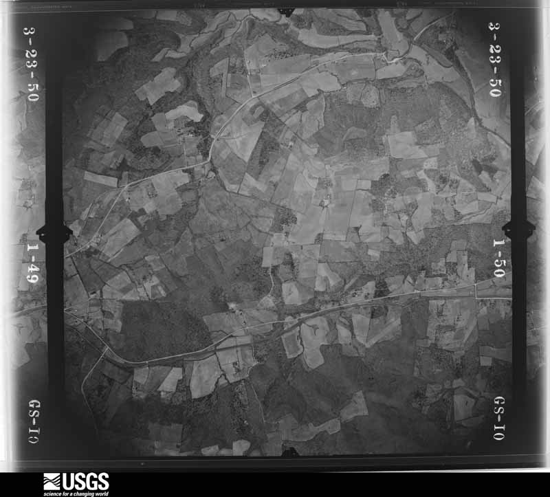
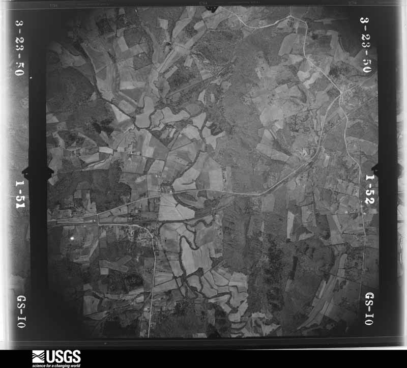
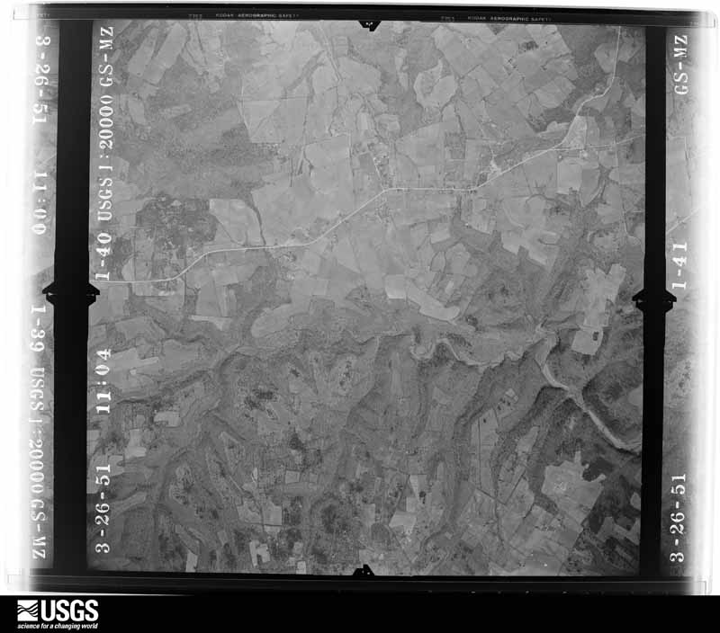
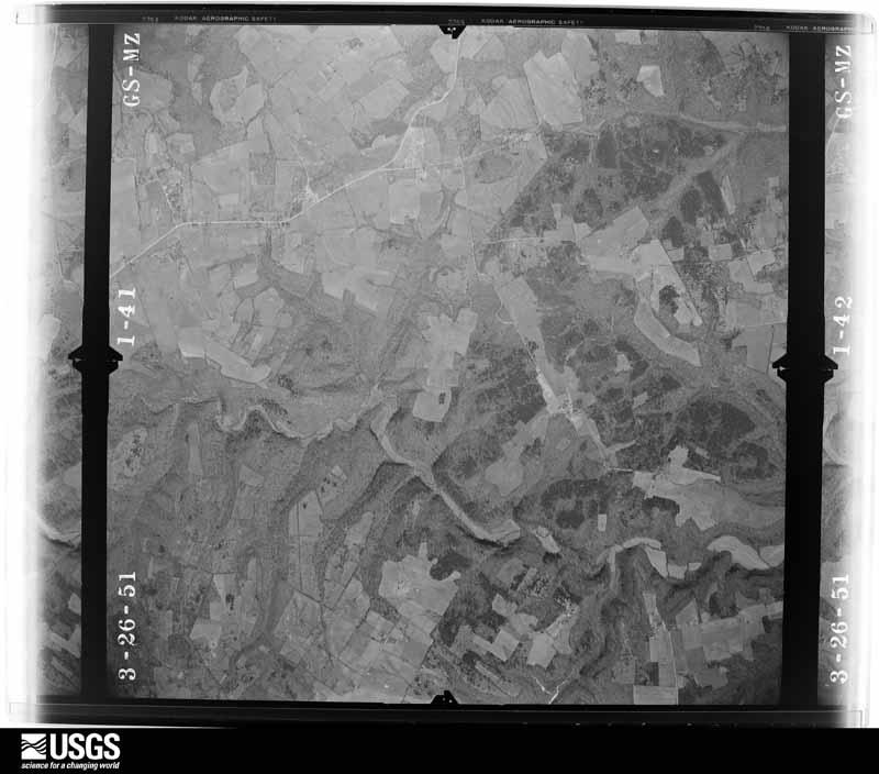
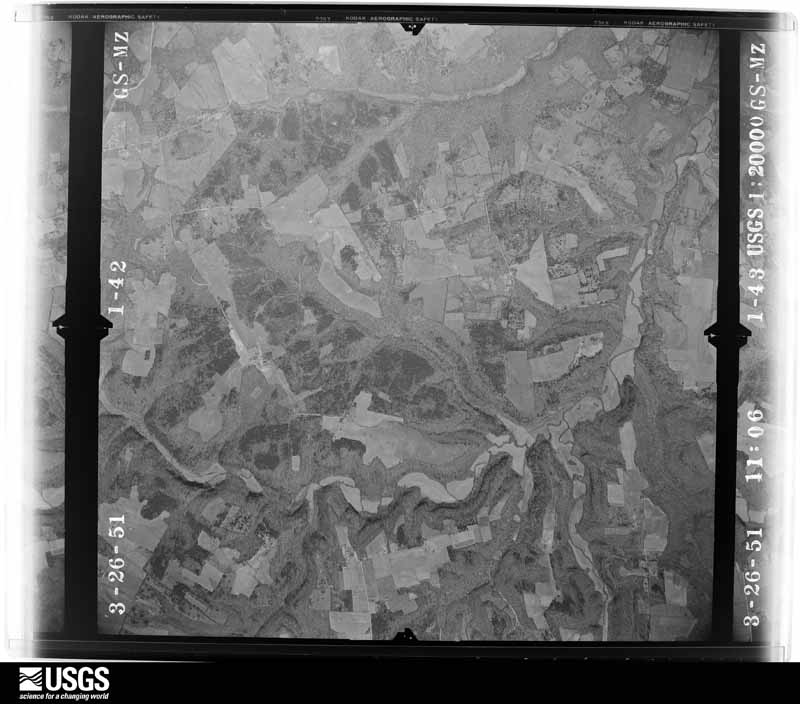
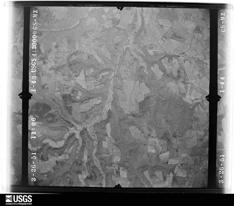
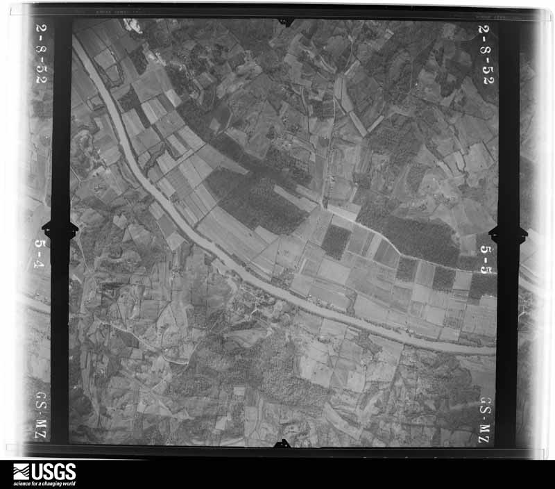
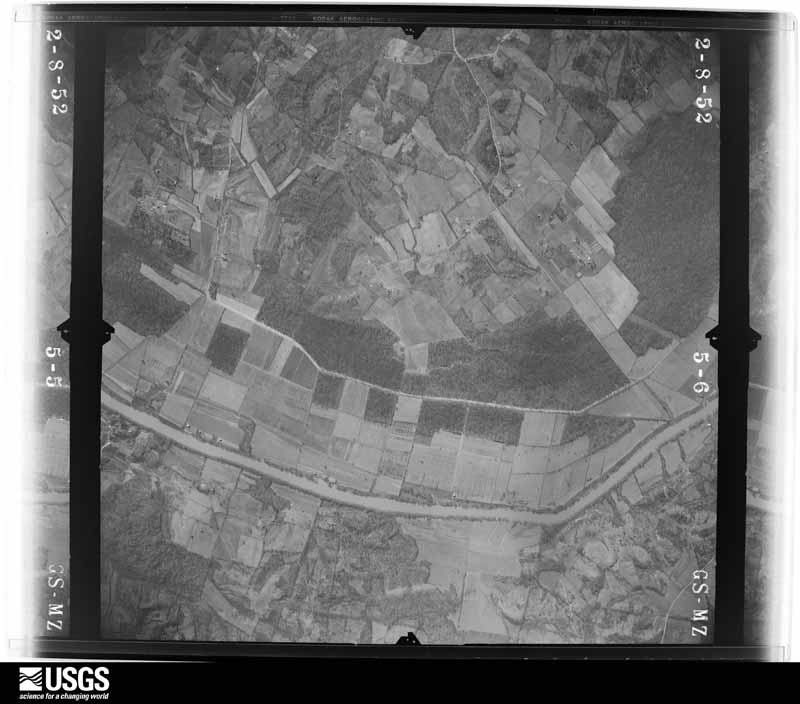
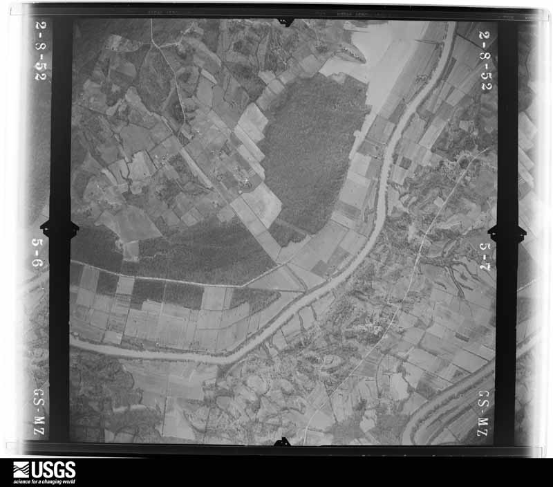
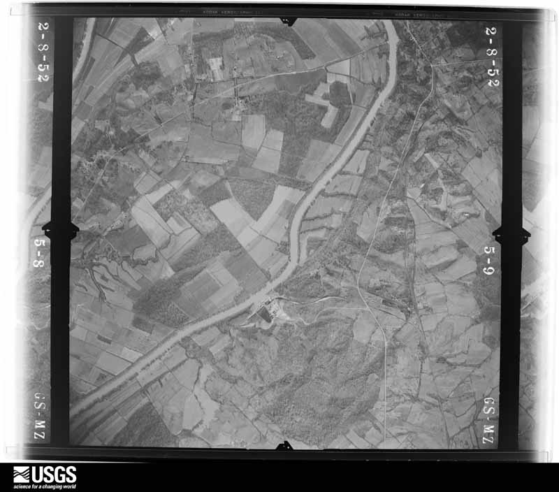
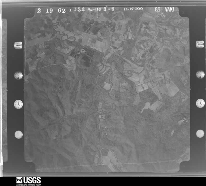
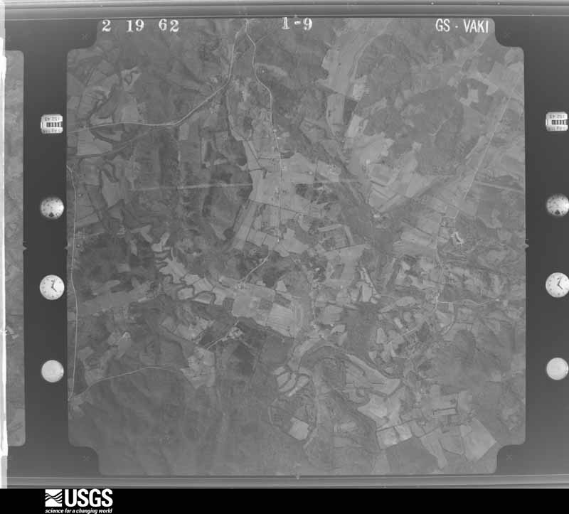
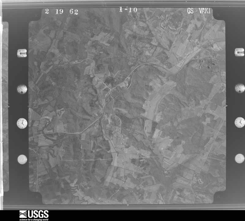
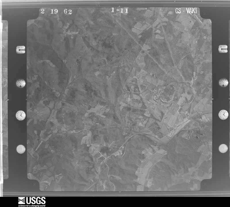
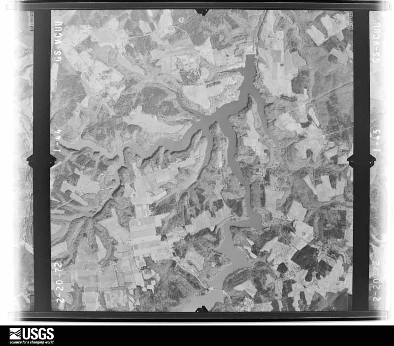
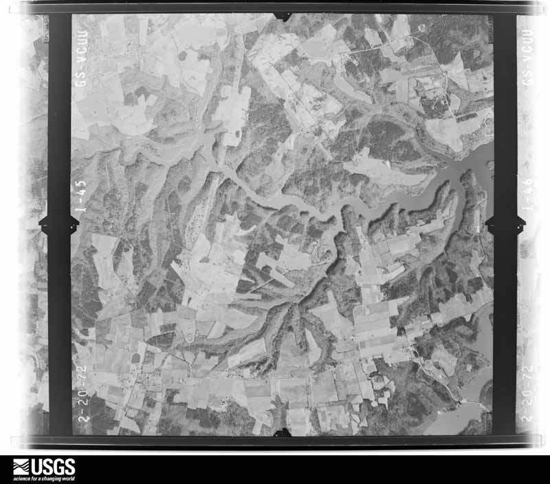
Flown by the U.S. Geological Survey between 1937 and 1989, the Aerial Photo Single Frames collection is the definitive mid-century view of the land: fields, roads and rivers as the camera saw them. The Survey holds 903 frames inside the rectangle that bounds this county; the 20 frames below were taken over the county itself, chosen across the decades of flights (at most four a year from that rectangle), so one flight cannot crowd out the rest. The full set is free to browse and download at EarthExplorer under the dataset Aerial Photo Single Frames.



The thermometers that kept this county's weather, and the gages that measured the flow of its streams, as the federal records hold them. The extremes below are measured values from those records, not estimates.
Who lived here in 1950, one enumeration district at a time, as the Census Bureau described each district. Each row opens its official National Archives result, with Population Schedules and ED Maps available there.
Every wildfire the federal occurrence database records inside this county: 272 of them, burning about 6,176 acres. 2 started naturally and 38 were recorded as arson. Each settlement page carries the fires within five miles of it.
| Reported cause | Fires |
|---|---|
| Missing data/not specified/undetermined | 96 |
| Debris and open burning | 61 |
| Recreation and ceremony | 53 |
| Arson/incendiarism | 38 |
| Equipment and vehicle use | 8 |
| Railroad operations and maintenance | 7 |
| Smoking | 5 |
| Natural | 2 |
| Misuse of fire by a minor | 2 |
The five largest, by the area the report gives. Two of them were set deliberately.
| Date | Cause | Size | Reported by | Name on the report |
|---|---|---|---|---|
| 16 August 2007 | Debris and open burning | 570 acres | Kentucky Division of Forestry | NORTH WIND |
| 25 February 2004 | Missing data/not specified/undetermined | 500 acres | Kentucky Division of Forestry | not named |
| 10 March 2001 | Missing data/not specified/undetermined | 500 acres | Kentucky Division of Forestry | not named |
| 2 September 1999 | Arson/incendiarism | 300 acres | Kentucky Division of Forestry | not named |
| 5 November 2005 | Missing data/not specified/undetermined | 300 acres | Kentucky Division of Forestry | CEDAR GROVE |
| 31 August 2010 | Debris and open burning | 265 acres | Kentucky Division of Forestry | NELSON CREEK 2 |
| 12 April 2001 | Arson/incendiarism | 205 acres | Kentucky Division of Forestry | not named |
| 8 November 2001 | Equipment and vehicle use | 200 acres | Kentucky Division of Forestry | not named |
Every settlement page carries the fires within five miles of it - see the settlement index below.
The NOAA Storm Events Database holds 396 reports for this county, causing 15 deaths, 63 injuries and about $36,033,000 in recorded property damage. Each settlement page carries the reports that name it.
| Kind of event | Reports |
|---|---|
| Thunderstorm Wind | 128 |
| Flood | 110 |
| Hail | 78 |
| Flash Flood | 28 |
| Tornado | 26 |
| Funnel Cloud | 13 |
| Heavy Rain | 12 |
| Lightning | 1 |
The most serious of them, by death, then injury, then recorded damage. The accounts are quoted exactly as the forecast office filed them.
| When | Event | Place named | Harm | What the report says |
|---|---|---|---|---|
| December 2021 | Tornado (EF4) | Earles | 11 killed, 25 hurt | This historic EF-4 tornado was associated with a very long-track supercell that originally formed over eastern Arkansas. The supercell produced a nearly continuous tornado damage path from northeast Arkansas across western Tennessee and western Kentucky. The starting point of this particular tornado was in northwest Tennessee, northwest of Union City (see Storm Data, Tennessee, Western for information on this and other tornadoes associated with the supercell). This tornado crossed from Hopkins County into Muhlenberg County at the Pond River, about 8 miles southwest of Bremen. The primary impact to Muhlenberg County was in and around the community of Bremen, where the tornado achieved a rating of EF-4. The Bremen area was the site of most of the 11 fatalities in Muhlenberg County. A total of 165 structures were damaged or destroyed, of which 84 were completely destroyed or uninhabitable. The remainder were damaged at least moderately. The majority of these structures were along and just south of Highway 175 from 5 miles southwest of Bremen to the community of Bremen. Several demolished houses in this area warranted a rating of EF-4. The destruction of one house warranted a wind speed estimate of 190 mph, the highest in the county and the entire track. One brick home on Highway 175 collapsed, and another was swept off the foundation (DI 2, DOD 9). A car in the garage was thrown across the road. A couple of poorly anchored houses were swept clean off the foundation within a few miles west of Bremen (DI 2, DOD 9-10). On the north side of Bremen, a two-story home was completely destroyed. The foundation was not swept clean, but all walls were gone. Much of the remainder of the path through Muhlenberg County was unpopulated woods and fields. There was a cluster of damaged or destroyed structures near the community of Moorman, near where the tornado crossed U.S. Highway 431. In this area, a couple houses were heavily damaged, but most walls remained standing (DI 2, DOD 6). A number of vehicles were thrown and destroyed countywide, including some farm equipment. Nearly total tree destruction was observed in the path. The average path width was a mile. The tornado exited Muhlenberg County into Ohio County on the Green River about 2.5 miles east of Moorman. See Storm Data, Kentucky, Central for information on the remainder of this tornado path. |
| February 2008 | Tornado (EF3) | Greenville | 3 killed, 24 hurt, $21,300,000 | Countywide, a total of 69 homes were destroyed and 203 were damaged. Of the 203 damaged homes, 56 sustained major damage. Most of the damage occurred in the communities of Greenville and Powderly, where 48 homes were destroyed and 32 sustained major damage (35 to 40 percent were mobile homes). The primary focus of attention was where the fatalities occurred at a mobile home park on U.S. Highway 62 near the Highway 189 bypass. In the Muhlenberg Industrial Park, a spec building was flattened and another building was heavily damaged. A half dozen businesses and churches were damaged, including a hotel and a car dealership. The Western Kentucky Parkway was closed near Central City due to trees blocking the road. A utility pole fell on a vehicle travelling on Kentucky 601. The tornado passed within a short distance southwest of a high school, where a basketball game was in progress at the time of the storm. A large portion of the gym roof was damaged, causing heavy water damage due to rainfall entering the building. The National Guard was activated to provide security for the area. The county was declared a federal major disaster area. The average path width was 325 yards. Peak winds were estimated near 160 mph. |
| March 1997 | Flash Flood | Central City | 1 killed, $300,000 | no account filed |
| March 1955 | Tornado (F2) | not stated | 9 hurt, $250,000 | no account filed |
| June 1997 | Tornado (F2) | Greenville | 2 hurt, $120,000 | The tornado tracked through wooded farmlands, so damage was relatively light. The most severe damage occurred to a mobile home and a log home located about 500 feet apart. The mobile home practically disintegrated. The entire structure was lifted from its site and deposited 50 to 100 feet away as a pile of debris. The log home was completely unroofed. Considerable damage occurred to the walls and interior of the log home. Two occupants of the log home who had taken shelter in a small room near the exterior of the house were injured. They sustained very minor cuts and bruises due to falling debris. Several other homes in the area received minor damage. Vehicles were thrown into each other. Numerous trees were down. The maximum winds in this tornado were close to F-3 intensity, probably near 150 MPH. |
| June 2018 | Thunderstorm Wind | Central City | 2 hurt, $30,000 | Multiple large trees and power lines were blown down from the Central City area to near Drakesboro. About 4 miles south of Central City, one tree fell on a mobile home, injuring two people. The injuries were not serious. Numerous trees were down along U.S. Highway 431. |
| February 2012 | Tornado (EF2) | Greenville | 1 hurt, $100,000 | The tornado touched down on the east side of Greenville and moved rapidly northeast. A tied-down mobile home was completely destroyed. The mobile home rolled five times with an occupant in it, but he received only minor injuries. A modular home was moved off its block foundation. Roofs were blown off homes in Greenville, and the middle school lost a significant part of its roof. Numerous pine and cedar tree trunks were snapped off. There was minor siding damage to homes, and a barn lost its roof. Metal bleachers were tossed. The tornado damage path ended at U.S. Highway 431 at Cleaton. There was at least one eyewitness account of the tornado. Peak winds were near 120 mph. The average path width was 180 yards. |
| April 1989 | Tornado (F2) | not stated | $2,500,000 | no account filed |
| May 1961 | Tornado (F3) | not stated | $2,500,000 | no account filed |
| May 1961 | Tornado (F3) | not stated | $2,500,000 | no account filed |
| February 2025 | Flood | Nelson | $1,210,000 | Flash flooding from the evening of the 15th transitioned to areal flooding early on the 16th. Highway 1379 remained flooded, as did many other county roads from Central City to Powderly to Greenville. |
| May 2024 | Tornado (EF1) | Ebenezer | $750,000 | An EF-1 tornado began east of Greenville, northwest of Arnold Hill Rd and Wyatt Cemetery Rd. Trees were uprooted and topped, several homes had shingle and gutter damage. The tornado did extensive tree damage along Arnold Hill Rd, and lifted many sections of a 30x50 ft metal roof Barn. An anchored single wide was pushed off the foundation by 3 ft with windows blown out. Three homes had extensive roof covering material and shingles removed. Near the intersection of Hershel Davis Rd and Arnold Hill Rd, a large well-built 40x40 ft garage/barn incurred heavy damage with doors blowing out and half the roof gone. The tornado increased in width in the Beech Creek community to 400 yds. Dozens and dozens of trees were uprooted and topped and twisted, facing directions from the NW to SE. Several trees were on top of mobile homes and houses and a large metal roofing storage facility on KY-246 had 40% of its roof removed. Along Hazel Creek Rd off of KY-246, several garages and outbuildings had roofing completely removed, and there were large sections of roof peeled back and some removed at a chicken farm, as the width increased to 500 yds. Telephone poles were bent and snapped and a very healthy 12-ft diameter oak tree was twisted and snapped 5 ft from the base. Off of US-431 in the Beechmont community, along Green Meadows St, some large oak and sycamore trees were uprooted, falling onto multiple vehicles. Homes had siding, soffit, gutter, and shingle damage. There was a also a lot of straight line wind damage on both sides of the tornado of 75-85 mph for up to a half mile. The tornado was at its widest near KY-2270 between Gaston Rd and Little Hazel Creek, at 600 yds, with hundreds of trees down facing in all directions. There were power lines down all over the place. A one story house had its roof removed. Wind speeds of 90-100 mph continued all along Mud River Union Rd, with drone photography detecting trees uprooted in the rugged countryside, connecting the path into Butler County. Including Butler and Warren Counties, the tornado tracked 41.1 miles. Peak estimated winds in Muhlenberg County, and for the tornado as a whole, were 110 mph. NWS Paducah thanks NWS Louisville for their assistance surveying this tornado. |
| February 2025 | Flood | Paradise | $400,000 | Following torrential mid-month rainfall amounts of around half a foot, river levels surged to only a couple feet below major flood, resulting in widespread flooding of low-lying bottomlands, affecting farmlands, roads, and woodland areas. The Green River at Paradise crested at 397.8 feet which is just shy of the major flood level of 400 feet. River levels remained in minor flood as flooding continued into March. |
| October 2019 | Thunderstorm Wind | Greenville | $250,000 | There was damage to numerous trees and power lines across the county. There was minor structural damage to some roofs as well. A total of 88 downed trees and 19 damaged structures were reported to the county's central dispatch office. The hardest hit areas included Drakesboro, Beechmont, and Greenville. |
| January 2013 | Tornado (EF2) | Rosewood | $250,000 | Peak winds were estimated near 120 mph. The average path width was 275 yards. Large portions of the roof structure were removed from one home, including rafters. Several other homes lost varying numbers of shingles. Siding was damaged on several homes, along with a few destroyed porches. Two mobile homes were completely destroyed, including one mobile home that was overturned. Hundreds of trees were snapped or uprooted. Power outages were reported. |
| July 2004 | Thunderstorm Wind | Countywide | $250,000 | Winds estimated from 60 to 65 MPH downed numerous trees. Some of the trees landed on homes and businesses. County officials requested a state disaster declaration. Two houses were destroyed by fallen trees, one in Bremen and one in Greenville. Lots of trees were down along Highway 141 in Greenville. Some federal, state, and county roads were closed while trees were cleared from them. |
| November 1950 | Tornado (F2) | not stated | $250,000 | no account filed |
| June 2013 | Flash Flood | Ebenezer | $200,000 | Rapidly rising floodwaters inundated some buildings in Greenville, including a rest home. The rest home was sandbagged after a couple inches of water entered the facility. Some roads in Greenville were flooded. At least one house was isolated by floodwaters in the Belton area, prompting an evacuation. Numerous roads were flooded and impassable in the Beechmont and Belton areas along U.S. Highway 431. Impassable roads included portions of U.S. Highway 431, as well as State Routes 70, 2270, and 1163. At least one vehicle was stranded. About ten homes were flooded. Luzerne Lake flooded portions of Kentucky Highways 601 and 189. Floodwaters threatened a power substation. |
| August 2022 | Flash Flood | Central City | $150,000 | Numerous streets were closed in Central City, including South 2nd Street and Broad Street. A water rescue was conducted on Taylor Road. A car was submerged. At least three feet of water were inside a home. Homes on Pattontown Drive in Central City were evacuated. Flooding was reported on Highway 175 near the interchange with the West Kentucky Parkway near Graham. Two separate rainfall totals over 6 inches were measured in Central City. Totals of 6.02 and 6.39 inches were measured by separate personal weather stations in Central City between midnight and 7 AM. |
| June 2018 | Thunderstorm Wind | Bremen | $150,000 | A microburst containing estimated winds up to 85 mph struck near Bremen. The microburst was up to 1200 yards wide and four miles long. At least seven homes sustained minor damage, including loss of shingles or siding. At least seven barns or sheds lost siding or metal roofing panels. Dozens of trees were uprooted or lost limbs. A couple homes were damaged by fallen trees. Several power poles and lines were downed. The damage was mainly along and north of Highway 70. |
| May 2016 | Tornado (EF1) | Bancroft | $125,000 | The tornado entered Muhlenberg County from Christian County along Highway 189, where downed trees blocked the road along a stretch one-half mile long. A house near the county line sustained minor damage. Utility lines and trees were brought down across Highway 189. A few barns were destroyed. A couple dozen trees were down. A home sustained considerable damage to the roof, including a few rafters that were blown away. The back deck of the home was destroyed. Another home near the end of the damage path sustained minor roof damage. The tornado was witnessed by a number of people, including at least two witnesses who videotaped it. Peak winds were estimated near 105 mph. |
| December 2021 | Tornado (EF1) | Hillside | $100,000 | This relatively weak and short-lived tornado occurred prior to the much larger and more powerful EF-4 tornado in northern parts of the county. The known damage path began about four miles north-northwest of Greenville along the Western Kentucky Parkway, starting at the Wendell Ford Regional Training Center grounds. Numerous trees and large branches were broken near the parkway. The tornado continued as far as the southwest city limit of Central City. Near the southwest city limit, a metal commercial structure suffered extensive roof loss and some damage to walls. Nearby, a house roof was damaged and windows were blown out. A nearby church received minor structural damage. A road sign along the Western Kentucky Parkway was blown about a tenth of a mile. Estimated peak wind speeds were near 95 mph. |
| November 2017 | Tornado (EF1) | Bremen | $100,000 | One tobacco barn was levelled, and two others sustained major damage. Part of the tobacco barn was blown several hundred yards to the southeast and then arcing eastward. Plank projectiles from the tobacco barn were embedded in the siding of a shed. At least five other barns sustained minor roof or siding damage. A pickup truck attached to a loaded trailer was shifted about a foot. A half dozen homes lost some shingles. Dozens of trees were uprooted or lost large limbs. The tornado began just west of Highway 181 and ended just east of Highway 2584. The damage was most extensive in the area of Highway 181. Peak winds were estimated near 90 mph. |
| May 2016 | Hail | Greenville | $100,000 | A swath of very large hail fell across central Muhlenberg County. Baseball-size hail was reported about a mile south of Greenville. The large hail swath continued eastward to Beech Creek, where hail was the size of golf balls. This large hail swath was associated with the same supercell thunderstorm that spawned the tornado in southwest Muhlenberg County. |
| November 2013 | Tornado (EF1) | Bancroft | $100,000 | This fast-moving tornado touched down near two older mobile homes, tearing parts of the roof off both homes and toppling trees. The tornado then moved east-southeast up a knoll, where it buckled the west-facing door of an attached garage. The side walls of the garage were blown out, including part of the cinder block foundation. Several large trees around the home were either uprooted or snapped. Patio furniture was scattered up to 100 yards to the east. The tornado continued over open pasture before tearing the roof and two walls off a metal outbuilding and uprooting several trees. Just before crossing Highway 189, the patio roof of a brick home was torn off and blown 100 yards to the northeast, along with tree damage. The tornado continued 200 yards east of Highway 189, where it snapped several tree trunks. Peak winds were estimated near 100 mph. This tornado was spawned by a supercell that originated over southeast Missouri and produced a 42-mile long EF-3 tornado from the Paducah area to Lyon County, Kentucky. |
| April 2011 | Tornado (EF1) | Greenville | $100,000 | The tornado struck first at a mobile home park on U.S. Highway 62 on the south side of Greenville. One mobile home was overturned and destroyed. Three people were injured. Two of the injuries were slight. Another mobile home was blown off its foundation. A camper trailer was overturned. Several houses sustained shingle damage. Trees and limbs were blown down along the entire path. The average path width was 100 yards. Peak winds were estimated near 109 mph. |
| June 1998 | Tornado (F1) | Powderly | $100,000 | A rotating thunderstorm tracked from near the Hopkins County line at Bremen southeast across most of the county. A funnel cloud associated with this storm touched down in the Central City/Powderly area and lifted near Beechmont. The main effect of this storm was downed trees and limbs. About a half dozen buildings were damaged by falling trees or limbs. A garage collapsed in Powderly. Several vehicles were damaged, including two that were blown off the road. An estimate of the number of trees down ranged between 50 and 100. No injuries were reported. |
| May 2024 | Thunderstorm Wind | Drakesboro | $75,000 | Extensive damage occurred in Drakesboro from straight line winds. Roads were blocked mainly closer to the tornado track towards Beechmont. According for the EF-1 tornado and straight line wind damage, along with morning storms, a large majority of Muhlenberg County was without power late evening. |
| May 2021 | Flash Flood | Bancroft | $75,000 | Several roads were flooded, including a few main roads. Several water rescues were conducted. Water was close to four feet deep over Kentucky 181 near Highway 601, where at least one car stalled out. County schools were virtual instead of on-site. At the county high school, water entered the gym, and the parking lot was extensively flooded. In the Graham area, a couple of mobile homes were evacuated due to flooding. The porch was torn off one of the mobile homes. A rainfall measurement of 5.01 inches was received from a weather station six miles southwest of Greenville. |
| February 2009 | Thunderstorm Wind | Moorman | $70,000 | The roof was blown off a large shed. Moderate damage occurred to grain bins. A steel beam shed was blown off its foundation. A power pole was down. The damage area was about 300 yards wide and one-quarter mile long. |
| May 2024 | Thunderstorm Wind | Beech Creek | $55,000 | With a thunderstorm moving eastward across Muhlenberg County, a public report was made of trees down near Beech Creek. Emergency management reported trees down in Beechmont and one house with significant damage. Power outages also occurred with this storm. |
| May 2024 | Thunderstorm Wind | Greenville | $50,000 | Hundreds of trees were downed by straight-line winds in and around Greenville. |
| January 2023 | Flash Flood | Central City | $50,000 | Significant flash flooding was reported. A few water rescues were conducted. Water was in a few residences. Numerous roads were closed due to flooding throughout the county. The state highways that were closed were Kentucky 181, Kentucky 2590, and Kentucky 2533. Rainfall amounts of 2 to 5 inches were reported. The highest 24-hour rainfall report in the county was 4.98 inches from a Cocorahs observer near Bancroft. |
| January 2013 | Thunderstorm Wind | Rosewood | $50,000 | The downburst damage path entered Muhlenberg County from the northeast corner of Todd County. The path of damage averaged about one-third mile wide. A few thousand trees were uprooted by winds estimated near 110 mph. Some barns and other sheds were levelled or heavily damaged. Several homes and other buildings had roofs, including decking, partially removed. A couple of homes received damage to walls of attached garages. Many other homes received minor damage, including loss of shingles and siding. |
| March 2012 | Thunderstorm Wind | Lynn City | $50,000 | A large shed was destroyed near Highway 175 near Lynn City Road. |
| March 2012 | Thunderstorm Wind | Bremen | $50,000 | A roof was completely ripped off a house and garage along Highway 181. |
| July 2008 | Lightning | Beech Creek | $50,000 | A lightning strike and the resulting fire totalled a house. |
| June 1998 | Thunderstorm Wind | Bremen | $50,000 | Numerous trees were blown down across the county. One of the hardest hit areas was Greenville, where about two dozen trees were down, including one on a house and one on a trailer. A few buildings were damaged in the Graham area. There were many downed power lines. |
| May 1993 | Hail | not stated | $50,000 | Large trees were blown down at Drakesboro and large hail was reported at Nelson Creek four miles east of Central City. |
| June 2007 | Thunderstorm Wind | Greenville | $45,000 | A house trailer was flipped over and destroyed, old metal outbuildings were destroyed, and a metal roof was tossed about 100 yards. The damage area extended from Weir north along Highway 171 toward Greenville. Large trees were uprooted, and the tops of several 12 to 14-inch diameter trees were blown off. The trailer was not tied down. |
| May 2025 | Thunderstorm Wind | Weir | $40,000 | Several trees were downed as storms moved across Muhlenberg County. A home on KY-1163 near Beech Creek was damaged by straight-line winds. |
| July 2016 | Flash Flood | Bancroft | $40,000 | Widespread flash flooding of streets was reported in Central City. Several feet of water covered some streets in downtown Central City. Many of the streets were impassable, and several vehicles were completely submerged. The worst conditions were in Central City, but roadways were flooded in numerous other locations across the county. |
| April 2006 | Tornado (F1) | Moorman | $40,000 | One home received damage due to a large tree falling on the roof. The community baseball park was damaged. A blocked building and some fencing was severely damaged. Peak winds were estimated near 85 MPH. The north side of the tornado ran along some railroad tracks which run east to west through the middle of Moorman. The tornado lifted near the Ohio County border. |
| October 2019 | Flash Flood | Central City | $35,000 | Floodwater entered an apartment complex in Greenville. Numerous streets in Greenville were flooded or impassable. Rising water threatened homes in the Central City area. |
| March 2016 | Thunderstorm Wind | Greenville | $35,000 | A swath of damaging thunderstorm winds passed south of Greenville. Four miles southwest of Greenville, several trees were uprooted and the roof was completely torn off a metal building. Two miles southeast of Greenville, a metal carport was destroyed. The carport was thrown into a nearby house. There was minimal damage to the house. Two trees were uprooted a couple miles south of Greenville. Much of Greenville was without power. |
| July 2025 | Thunderstorm Wind | Central City | $30,000 | Thunderstorm winds blew down numerous trees and power lines in Central City. |
| March 2012 | Thunderstorm Wind | Bremen | $30,000 | A barn was totally destroyed along Fairview Road. |
| February 2012 | Tornado (EF1) | Greenville | $30,000 | A very brief tornado occurred in the southwest part of Greenville. The path length was 700 feet, and the path width was 100 feet. An apartment building lost some of its roof decking. There was minor damage to the siding of a few houses. Large branches were snapped off trees. A barn lost part of its roof. Peak winds were estimated near 95 mph. |
| March 2012 | Thunderstorm Wind | Bremen | $30,000 | Thunderstorm winds blew part of a roof off a home. |
| August 2009 | Thunderstorm Wind | Bancroft | $30,000 | A 16-by-80 foot mobile home was blown over. A woman and her young son were at home at the time. Both people received only minor cuts. The mobile home was a total loss. |
| May 2011 | Flood | Bancroft | $30,000 | no account filed |
| July 2023 | Thunderstorm Wind | Bremen | $25,000 | Extensive tree damage was reported along Shavers Drive near Bremen. Some tree limbs were driven into the roofs of outbuildings. Tree damage also occurred nearby along Highway 181 and on Park Street in Bremen. |
| March 2020 | Thunderstorm Wind | Greenville | $25,000 | A roof was blown off a store. Several trees were blown down. |
| January 2020 | Thunderstorm Wind | Greenville | $25,000 | Trees were down throughout the county, including along Highway 181 south of Greenville. |
| March 2019 | Thunderstorm Wind | Drakesboro | $25,000 | Multiple trees were blown down around the Beechmont and Drakesboro areas. There was one motor vehicle accident due to the debris. Power lines were damaged. |
| June 2019 | Thunderstorm Wind | Greenville | $25,000 | Trees were uprooted, and shingles were off a house on State Highway 1163. Large tree limbs were down. |
| May 2011 | Thunderstorm Wind | Bremen | $25,000 | Trees and power lines were blown down in and near Bremen. |
| January 2008 | Thunderstorm Wind | Powderly | $25,000 | About 15 trees fell on roads and into power lines. |
| April 1971 | Tornado (F1) | not stated | $25,000 | no account filed |
| July 2022 | Flash Flood | Drakesboro | $20,000 | Flash flooding was reported in the Drakesboro area. Several ditches overflowed, and yards flooded. Some basements were flooded. |
The Survey's mineral resources record lists 1 working inside this county. It still produces. Each settlement page carries the workings within five miles of it.
| Commodity | Workings |
|---|---|
| Stone, Crushed/Broken | 1 |
The least common of them first, because a county's hundredth gravel pit says nothing its first ten did not.
| Where | Site | Commodity | Status | Recorded |
|---|---|---|---|---|
| Greenville Quarry | Stone, Crushed/Broken | Producer |
One book written about this county, cut here where the book itself is cut, at its printed chapters: 1 chapter in all. Every chapter is public domain, machine-read from the scan and reproduced complete. A chapter already given under one of the county's towns is not repeated in this list.
| Chapter | Length |
|---|---|
| The whole text | 197,307 words in 13 parts |
Named settlements recorded in the Geographic Names Information System, each with the topographic sheets covering it. Villages, hamlets and abandoned places alike. Each is shown with the nearest named watercourse or landform and the survey quadrangle it falls on. The 1 place that was also surveyed for fire insurance comes first, with the number of atlases and photographs held for them.
Greenville census division · 42345 · On Whiskey Run · Greenville quadrangle
16 sheets, 1911 to 1997
Fire insurance: 8 atlases
Greenville census division · 42345 · On Drake Creek · Greenville quadrangle
16 sheets, 1911 to 1997
Central City census division · 42330 · Central City East quadrangle
15 sheets, 1909 to 1997
No longer a settlement
Rosewood census division · 42345 · On Carters Creek · Drakesboro quadrangle
15 sheets, 1911 to 1997
No longer a settlement
Drakesboro census division · 42337 · Central City East quadrangle
15 sheets, 1909 to 1997
No longer a settlement
Central City census division · 42330 · Central City East quadrangle
15 sheets, 1909 to 1997
Central City census division · 42330 · On Cherry Hill · Central City West quadrangle
16 sheets, 1909 to 1997
No longer a settlement
Drakesboro census division · 42337 · On Daniels Branch · Rochester quadrangle
11 sheets, 1911 to 1981
Central City census division · 42330 · Near Cherry Hill · Central City West quadrangle
16 sheets, 1909 to 1997
No longer a settlement
Central City census division · 42330 · Central City East quadrangle
15 sheets, 1909 to 1997
No longer a settlement
Drakesboro census division · 42337 · On Plum Creek · Drakesboro quadrangle
15 sheets, 1911 to 1997
Penrod census division · 42339 · Near Welburn Ridge · Dunmor quadrangle
11 sheets, 1911 to 1981
Bremen census division · 42325 · On Irwin Creek · Millport quadrangle
14 sheets, 1909 to 1983
Bremen census division · 42325 · Millport quadrangle
14 sheets, 1909 to 1983
No longer a settlement
Drakesboro census division · 42337 · On Caney Creek · Drakesboro quadrangle
15 sheets, 1911 to 1997
Central City census division · 42337 · On Plum Creek · Drakesboro quadrangle
15 sheets, 1911 to 1997
No longer a settlement
Drakesboro census division · 42326 · Rochester quadrangle
11 sheets, 1911 to 1981
No longer a settlement
Penrod census division · 42337 · On Canfield Branch · Rochester quadrangle
11 sheets, 1911 to 1981
No longer a settlement
Greenville census division · 42344 · Graham quadrangle
13 sheets, 1912 to 1983
No longer a settlement
Rosewood census division · 42345 · Kirkmansville quadrangle
14 sheets, 1911 to 1983
No longer a settlement
Greenville census division · 42464 · Near Stivers Hill · Graham quadrangle
13 sheets, 1912 to 1983
Greenville census division · 42345 · Near Buck Knob · Greenville quadrangle
16 sheets, 1911 to 1997
No longer a settlement
Drakesboro census division · 42337 · On Daniels Branch · Rochester quadrangle
11 sheets, 1911 to 1981
Rosewood census division · 42345 · Drakesboro quadrangle
15 sheets, 1911 to 1997
No longer a settlement
Central City census division · 42330 · Drakesboro quadrangle
15 sheets, 1911 to 1997
No longer a settlement
Rosewood census division · 42345 · On Buck Creek · Rosewood quadrangle
12 sheets, 1911 to 1983
No longer a settlement
Central City census division · 42330 · Near Sandhill · Central City East quadrangle
15 sheets, 1909 to 1997
Bremen census division · 42325 · Millport quadrangle
14 sheets, 1909 to 1983
No longer a settlement
Greenville census division · 42344 · On Thompson Creek · Graham quadrangle
13 sheets, 1912 to 1983
Bremen census division · 42372 · On Log Creek · Millport quadrangle
14 sheets, 1909 to 1983
Central City census division · 42330 · Near Cemetery Hill (historical) · Livermore quadrangle
13 sheets, 1909 to 1983
Central City census division · 42330 · Near Cherry Hill · Central City West quadrangle
16 sheets, 1909 to 1997
Penrod census division · 42324 · On Little Hazel Creek · Rochester quadrangle
11 sheets, 1911 to 1981
No longer a settlement
Penrod census division · 42324 · On Pryor Creek · Rosewood quadrangle
12 sheets, 1911 to 1983
No longer a settlement
Central City census division · 42330 · Near Sandhill · Central City East quadrangle
15 sheets, 1909 to 1997
Greenville census division · 42345 · Central City West quadrangle
16 sheets, 1909 to 1997
Central City census division · 42337 · On Plum Creek · Drakesboro quadrangle
15 sheets, 1911 to 1997
Drakesboro census division · 42326 · Near Airdrie Hill · Paradise quadrangle
12 sheets, 1909 to 1981
No longer a settlement
Drakesboro census division · 42337 · On Plum Creek · Drakesboro quadrangle
15 sheets, 1911 to 1997
No longer a settlement
Greenville census division · 42345 · On Opossum Run · Greenville quadrangle
16 sheets, 1911 to 1997
No longer a settlement
Greenville census division · 42367 · On Whiskey Run · Greenville quadrangle
16 sheets, 1911 to 1997
Central City census division · 42330 · Greenville quadrangle
16 sheets, 1911 to 1997
No longer a settlement
Drakesboro census division · 42337 · Rochester quadrangle
11 sheets, 1911 to 1981
No longer a settlement
Greenville census division · 42345 · Greenville quadrangle
16 sheets, 1911 to 1997
No longer a settlement
Drakesboro census division · 42337 · On Mud River · Rochester quadrangle
11 sheets, 1911 to 1981
Central City census division · 42374 · By Fentress Bluff · Central City West quadrangle
16 sheets, 1909 to 1997
Central City census division · 42330 · By Kincheloes Bluff · Central City East quadrangle
15 sheets, 1909 to 1997
No longer a settlement
Bremen census division · 42372 · On Log Creek · Millport quadrangle
14 sheets, 1909 to 1983
Bremen census division · 42372 · On Log Creek · Millport quadrangle
14 sheets, 1909 to 1983
Central City census division · 42330 · Near Cemetery Hill (historical) · Livermore quadrangle
13 sheets, 1909 to 1983
Central City census division · 42330 · Central City East quadrangle
15 sheets, 1909 to 1997
No longer a settlement
Central City census division · 42337 · On Plum Creek · Drakesboro quadrangle
15 sheets, 1911 to 1997
No longer a settlement
Penrod census division · 42324 · On Little Hazel Creek · Drakesboro quadrangle
15 sheets, 1911 to 1997
Greenville census division · 42345 · Near Bards Hill · Graham quadrangle
13 sheets, 1912 to 1983
No longer a settlement
The vanished settlements of Muhlenberg County: the places named above that are no longer on the map.
16 topographic sheets and 8 fire insurance atlases, 1886 to 1942