 Block
Fairdale, Kentucky
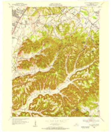
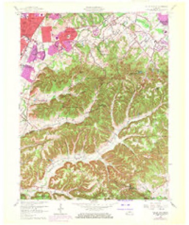
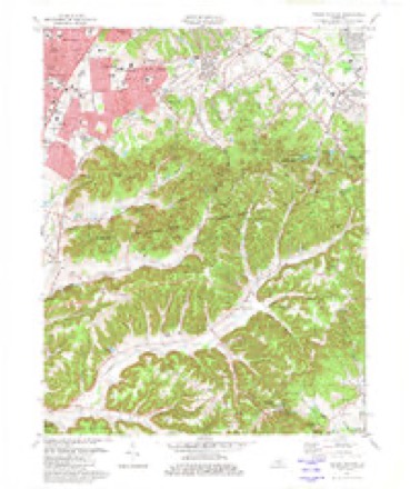
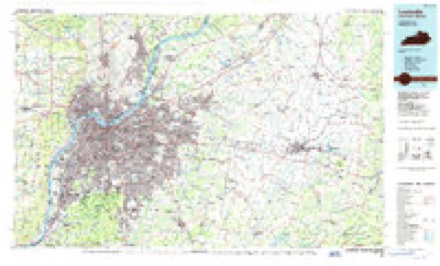
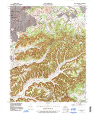
20 topographic sheets cover this place, the earliest surveyed in 1909 and the latest in 1993. It stands in the Pond Creek census division. It lies in ZIP code area 40118. It stands on Little Bee Lick Creek. The Survey maps it on the Valley Station quadrangle.
Topographic sheets covering this place
11 surveys from 20 printed sheetsMatched by testing this settlement's coordinate against the published boundary of every sheet in the United States Geological Survey's historical collection. Each opens the scanned sheet at the Survey.
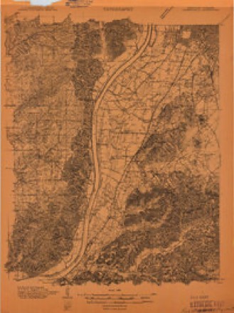
- 1909 USGS Kosmosdale quadrangle1:48000
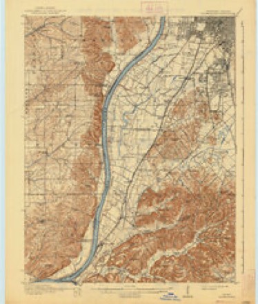
- 1912 USGS Kosmosdale quadrangle1:62500, 4 printings
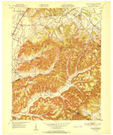
- 1950 USGS Kosmosdale quadrangle1:62500
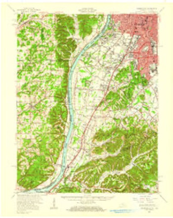
- 1951 USGS Valley Station quadrangle1:24000
- 1955 USGS Valley Station quadrangle1:24000
- 1956 USGS Louisville quadrangle1:250000, 2 printings
- 1960 USGS Valley Station quadrangle1:24000, 2 printings
- 1964 USGS Louisville quadrangle1:250000
- 1982 USGS Valley Station quadrangle1:24000, 4 printings
- 1986 USGS Louisville quadrangle1:100000, 2 printings
- 1993 USGS Valley Station quadrangle1:24000


Fires near this place
20 since 1997Regional context, not property-specific evidence. The federal wildfire occurrence database lists 20 fires within 5 miles of Fairdale between 1997 and 2020, burning about 133 acres in total. 2 started naturally. None was recorded as arson. Distance is straight-line from the map coordinates, so a fire counted here may appear on a neighbouring settlement's page as well.
| Reported cause | Fires |
|---|---|
| Missing data/not specified/undetermined | 7 |
| Recreation and ceremony | 6 |
| Debris and open burning | 4 |
| Natural | 2 |
| Railroad operations and maintenance | 1 |
The most recent of them, most recent first, with the day each was reported and the service that recorded it.
| Date | Cause | Size | Reported by | Name on the report |
|---|---|---|---|---|
| 9 September 2002 | Recreation and ceremony | 3.0 acres | Kentucky Division of Forestry | not named |
| 18 September 2016 | Missing data/not specified/undetermined | 3.9 acres | Kentucky Division of Forestry | CHIP FIRE |
| 12 September 1999 | Missing data/not specified/undetermined | 1.0 acres | Kentucky Division of Forestry | not named |
| 20 August 2020 | Natural | 1.0 acres | Kentucky Division of Forestry | FAIRDALE HIGH FIRE |
| 7 April 2010 | Railroad operations and maintenance | 1.0 acres | Kentucky Division of Forestry | not named |
| 5 April 2005 | Missing data/not specified/undetermined | under an acre | Kentucky Division of Forestry | not named |
| 22 April 2007 | Debris and open burning | 1.0 acres | Kentucky Division of Forestry | not named |
| 2 April 1997 | Debris and open burning | 25 acres | Kentucky Division of Forestry | not named |
Settlements close enough to share some of these fires:
Mines and quarries near this place
2 within 5 milesRegional context, not property-specific evidence. The federal mineral resources record lists 2 workings within 5 miles of Fairdale: 2 producers. All of them still produce. What was taken out: Clay, Stone, Crushed/Broken. Distance is straight-line from the map coordinates, so a quarry counted here may appear on a neighbouring settlement's page as well.
| Where | Site | Commodity | Status | Recorded |
|---|---|---|---|---|
| Coral Ridge | Clay | Producer | ||
| Okolona Quarry | Stone, Crushed/Broken | Producer |
Storms near this place
18 since 1996Regional context, not property-specific evidence. The National Weather Service names Fairdale in 18 storm reports between 1996 and 2025: 9 thunderstorm wind, 4 hail, 3 flash flood, 1 lightning. The reports record 2 injuries. Each account below is quoted exactly as the forecast office filed it, from the NOAA Storm Events Database, and each date opens the federal record of that event.
| When | Event | Place named | Harm | What the report says |
|---|---|---|---|---|
| May 2004 | Thunderstorm Wind | Fairdale | 1 hurt, $150,000 | At the Autumn Lake mobile home park, around six mobile homes received extensive damage. A man was taken to the hospital with a back injury. Numerous trees were downed. |
| March 2025 | Tornado (EF1) | Fairdale | 1 hurt | The National Weather Service conducted a storm survey for south Louisville near the Fairdale community and determined an EF-1 tornado with maximum winds of 100 mph occurred the evening of March 30th, 2025. The tornado had a path length of 5.43 miles and a width of 30 yards. ||Minor tree damage and structural damage was observed just south of the Gene Snyder Freeway off the Stonestreet exit along Bear Camp road and Blevins Gap Road and was determined to be straight line wind damage. The first observable tornado damage was along Mitchell Hill Road and Keys Ferry Road near Fairdale Elementary School. Large branches were snapped and twisted in varying directions within the tree, as well as trees snapped with a rolled shed nearby. Some of the most notable damage occurred near a few homes along Mitchell Hill Road, where several trees were twisted, uprooted, and snapped. Winds in this location were determined to have been between 85 and 100 mph. An injury was reported to have happened to a resident in this vicinity, where a man was trying to hold a door closed when the wind was strong and hurt his arm.||The tornado continued across Mitchell Hill Road across neighborhoods where several properties observed tree damage and fence damage. The most notable damage was to a garage that was moved off a foundation with estimated wind speeds of 97 mph. The |tornado continued across Mount Holly Road and did damage near a church. A garage lost roofing material and it was lofted into nearby trees. Pockets of tree damage occurred along Wilson Creek and continued near Holly Avenue. Damage occurred to a garage barn where much of the building was destroyed and several wood planks |were impaled in the back and front of a nearby residence. ||The tornado continued across the National Turnpike roadway and impacted a brick one story residence, where the tornado hit with such force that the brick was damaged and the windows were broken out of the home. Portions of the roof were lofted well into the |distance, including the garage barn behind the property. Estimated wind speeds of 100 mph occurred at this location. The tornado continued across South Park Road where garage damage was observed and twisted large branches in trees. The tornado continued eastward where several trees and structure damage was observed |along Barricks Road (just south of Hillview Drive) where the tornado continued to produce estimated wind speeds of between 90 and 100 mph.||Across I-65 the tornado worked into an industrial park between Blue Lick Rd and Preston Hwy south of Interchange Dr. There were a few trees damaged with one notable tree that was split with the large branches blown to the west of the tree. There were visible marks on the ground where the branches had landed and dragged |across the ground for about 3 to 4 feet towards the west after hitting the ground. Wind speeds were between 60 and 75 mph in these locations, and no observable damage was seen beyond this point. |
| June 2007 | Lightning | Fairdale | $20,000 | Two houses were struck by lightning, and had attic damage due to fire. |
| June 2025 | Thunderstorm Wind | Fairdale | - | A large tree was blown across Mitchell Hill Road between Tom Wallace Park Road and Rayhill Road. |
| June 2025 | Thunderstorm Wind | Fairdale | - | A tree was blown down onto a car in Fairdale. |
| April 2023 | Thunderstorm Wind | Fairdale | - | A tree fell into a home. |
| February 2018 | Flash Flood | Fairdale | - | Amateur radio reported significant flash flooding in the Holly Hills subdivision on Mitchell Hill Road. |
| February 2018 | Flash Flood | Fairdale | - | Fairdale Fire Department reported that the intersection of Mitchell Hill Road and Holsclaw Road was impassable due to high water over road. |
| June 2015 | Thunderstorm Wind | Fairdale | - | A member of the broadcast media relayed a report of a large tree limb down. |
| April 2015 | Thunderstorm Wind | Fairdale | - | Broadcast media relayed a report that large trees were uprooted around Fairdale. |
| July 2011 | Flash Flood | Fairdale | - | Local broadcast media reported flash flooding over Mount Holly Road in Fairdale. A Metropolitan Sewer District rain gauge nearby measured 3 inches in one hour's time. |
| July 2006 | Thunderstorm Wind | Fairdale | - | Power lines were downed near Poplar Level Road and Interstate 264. |
| March 2017 | Hail | Fairdale | - | no account filed |
| April 2006 | Hail | Fairdale | - | no account filed |
| April 2006 | Thunderstorm Wind | Fairdale | - | no account filed |
| November 2000 | Hail | Fairdale | - | no account filed |
| May 1996 | Hail | Fairdale | - | no account filed |
| July 1996 | Thunderstorm Wind | Fairdale | - | no account filed |
Nearest settlements
The eight closest, with where each one stands in the county. Distances are straight-line, computed from the Geographic Names Information System coordinates.
| Map | Place | Distance | Sheets |
|---|---|---|---|
| South Park | 0.8 miles | 17 | |
| Hollyvilla | 1.1 miles | 17 | |
| Coral Ridge | 1.3 miles | 17 | |
| Newtown (historical) | 1.4 miles | 18 | |
| South Park View | 2.2 miles | 17 | |
| Penile | 2.4 miles | 20 | |
| Heritage Creek | 2.4 miles | 17 | |
| Auburndale | 2.7 miles | 18 |
Provenance
This settlement is recorded in the Geographic Names Information System as feature 491874. The sheet list is computed by point-in-boundary test against the United States Geological Survey's historical topographic inventory. Both are works of the United States government and carry no copyright under 17 U.S.C. 105.
Wildfire. Short, Karen C. 2022. Spatial wildfire occurrence data for the United States, 1992-2020 [FPA_FOD_20221014]. 6th Edition. Fort Collins, CO: Forest Service Research Data Archive. https://doi.org/10.2737/RDS-2013-0009.6 Collected with United States Government funding and usable without additional permissions or fees.
Mines and quarries. USGS Mineral Resources Data System (MRDS) https://mrdata.usgs.gov/mrds/ A work of the United States government, no copyright under 17 U.S.C. 105.
Storms. NOAA National Centers for Environmental Information, Storm Events Database https://www.ncei.noaa.gov/stormevents/ A work of the United States government, no copyright under 17 U.S.C. 105. Narratives are quoted verbatim from the National Weather Service report and are not edited or summarised.