 Block
Flatgap, Kentucky
17 topographic sheets cover this place, the earliest surveyed in 1886 and the latest in 1992. It stands in the Flatgap census division. It lies in ZIP code area 41219. It stands on Conley Branch. The Survey maps it on the Redbush quadrangle. It stands 815 feet above sea level.
On record in Flatgap
Buildings and businesses the archive holds for this place. Each opens its own page, with the source record it came from.
On the National Register within a mile 1 record
The National Register names another town for these. They stand within one mile of this settlement's coordinate.
- Flat Gap Schoollisted 1989 · 0.2 miles away
Topographic sheets covering this place
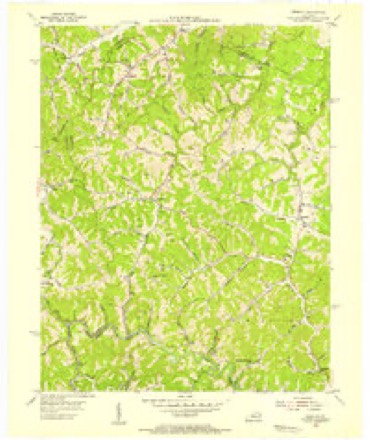
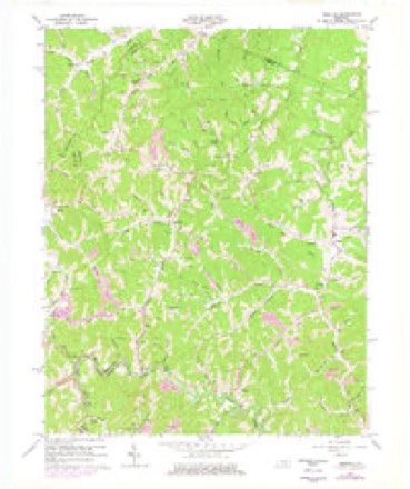
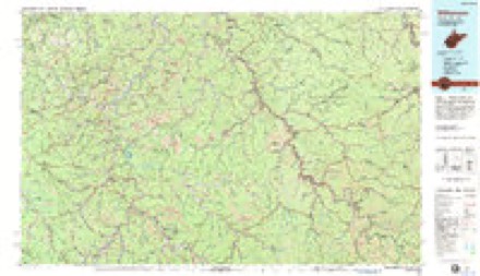
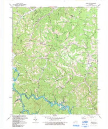
10 surveys from 17 printed sheetsMatched by testing this settlement's coordinate against the published boundary of every sheet in the United States Geological Survey's historical collection. Each opens the scanned sheet at the Survey.
- 1886 USGS Prestonsburg quadrangle1:125000
- 1892 USGS Prestonsburg quadrangle1:125000, 4 printings
- 1915 USGS Paintsville quadrangle1:48000
- 1917 USGS Paintsville quadrangle1:62500, 3 printings
- 1954 USGS Redbush quadrangle1:24000
- 1957 USGS Jenkins quadrangle1:250000
- 1960 USGS Jenkins quadrangle1:250000
- 1962 USGS Redbush quadrangle1:24000, 3 printings
- 1982 USGS Williamson quadrangle1:100000
- 1992 USGS Redbush quadrangle1:24000
Fires near this place
120 since 1997Regional context, not property-specific evidence. The federal wildfire occurrence database lists 120 fires within 5 miles of Flatgap between 1997 and 2020, burning about 2,076 acres in total. None started naturally. 32 were recorded as arson. Distance is straight-line from the map coordinates, so a fire counted here may appear on a neighbouring settlement's page as well.
| Reported cause | Fires |
|---|---|
| Debris and open burning | 46 |
| Arson/incendiarism | 32 |
| Missing data/not specified/undetermined | 21 |
| Recreation and ceremony | 14 |
| Equipment and vehicle use | 5 |
| Railroad operations and maintenance | 2 |
The most recent of them, most recent first, with the day each was reported and the service that recorded it.
| Date | Cause | Size | Reported by | Name on the report |
|---|---|---|---|---|
| 9 September 2010 | Recreation and ceremony | 4.0 acres | Kentucky Division of Forestry | ROSS CREEK |
| 3 September 2008 | Debris and open burning | 1.0 acres | Kentucky Division of Forestry | not named |
| 14 September 2008 | Debris and open burning | 5.0 acres | Kentucky Division of Forestry | not named |
| 10 September 2010 | Recreation and ceremony | 15 acres | Kentucky Division of Forestry | M SALYERS ROAD II |
| 20 June 2007 | Recreation and ceremony | 1.0 acres | Kentucky Division of Forestry | not named |
| 10 June 2014 | Debris and open burning | under an acre | Kentucky Division of Forestry | CANTRELL'S CREEK |
| 21 May 2014 | Debris and open burning | under an acre | Kentucky Division of Forestry | STONECOAL RD. |
| 9 April 1997 | Arson/incendiarism | 6.0 acres | Kentucky Division of Forestry | not named |
Settlements close enough to share some of these fires:
Mines and quarries near this place
3 within 5 milesRegional context, not property-specific evidence. The federal mineral resources record lists 3 workings within 5 miles of Flatgap: 3 prospects. None of them still produces. What was taken out: Clay. Distance is straight-line from the map coordinates, so a quarry counted here may appear on a neighbouring settlement's page as well.
| Where | Site | Commodity | Status | Recorded |
|---|---|---|---|---|
| Cantrill Branch Shale | Clay | Prospect | ||
| Flat Gap Shale | Clay | Prospect | ||
| Volga Shale | Clay | Prospect |
Storms near this place
17 since 1997Regional context, not property-specific evidence. The National Weather Service names Flatgap in 17 storm reports between 1997 and 2024: 10 thunderstorm wind, 3 flash flood, 2 hail, 1 heavy rain. The reports record 4 deaths and 15 injuries. Each account below is quoted exactly as the forecast office filed it, from the NOAA Storm Events Database, and each date opens the federal record of that event.
| When | Event | Place named | Harm | What the report says |
|---|---|---|---|---|
| July 2015 | Flash Flood | Flatgap | 4 killed, 15 hurt, $3,500,000 | Flash flooding occurred in the Redbush and Flatgap communities, with devastating flooding occurring along Big Mudlick Creek and Ramey Branch. Four fatalities occurred and over 50 swift water rescues were performed in this area. Entire double wide houses were seen floating down Big Mudlick Creek and getting forced under a bridge. More than 150 homes were destroyed with as many as 500 homes being affected to some extent. While no rain gauges were located in this hard hit area, radar estimates indicate that around 3 of rain fell in an hour with brief rainfall rates of 6 to 7 per hour falling.||Of the four fatalities, one elderly woman and a disabled man were killed as they were trapped inside their mobile homes which were swept away by the flooding. A man was swept away after he got out of his sport utility vehicle as water rose around it. A fourth flood victim drown while attempting to rescue family members from the flood waters. He had successfully rescued his father, uncle, sister and nephew before being swept away. |
| August 2014 | Flash Flood | Flatgap | $3,000,000 | Widespread flash flooding occurred across much of Johnson County during the evening of August 22nd as over three inches of rain fell in one to two hours. Basements, garages and homes were flooded in numerous areas with multiple reports of road damage to private and public property. Roads were completely blocked and in some cases were completely washed away. There were also numerous reports of downed trees and electric lines due to mudslides. Sixteen homes were classified as having major damage along with two businesses. |
| April 2024 | Thunderstorm Wind | Flatgap | $15,000 | A tree was blown down onto a pickup and farm outbuildings via a public report with photo relayed by broadcast media. |
| April 2005 | Thunderstorm Wind | Flatgap | $3,000 | Power lines blown down near Flatgap. |
| March 1997 | Thunderstorm Wind | Flatgap | $3,000 | no account filed |
| June 2020 | Thunderstorm Wind | Flatgap | $2,000 | Dispatch relayed a report of a tree downed onto power lines near Flatgap. This led to a wildfire as the power lines hit the ground. |
| June 2019 | Thunderstorm Wind | Flatgap | $1,000 | Dispatch relayed reports of trees downed from Flatgap to north of Galen on Kentucky Highway 3387. A tree in Flatgap fell onto a powerline and eventually began to smoke. |
| December 2013 | Flood | Flatgap | $1,000 | The public reported that Route 201 was under water. |
| December 2019 | Thunderstorm Wind | Flatgap | $500 | A citizen observed shingles blown off of a residence along with small tree limbs broken near Flatgap. |
| June 2022 | Thunderstorm Wind | Flatgap | - | Trees and large limbs were reported to have been blown down in the Flat Gap community. |
| July 2016 | Thunderstorm Wind | Flatgap | - | An NWS employee reported several trees down from near Flatgap to along Kentucky Highway 201 in and near Sitka. |
| April 2014 | Thunderstorm Wind | Flatgap | - | Power lines were blown down in Flatgap. |
| July 2012 | Thunderstorm Wind | Flatgap | - | Trees were blown down on Hwy 1092. |
| June 2010 | Heavy Rain | Flatgap | - | A coop weather observer reported that 3.75 inches of rain had fallen in Flatgap since late afternoon. |
| June 2010 | Flash Flood | Flatgap | - | A trained weather spotter reported that the creek near his house had risen with heavy rain during the day and was flowing across Mackenzie road in spots. Total rainfall for this location since 415pm was 3.5 inches. |
| April 2009 | Hail | Flatgap | - | Quarter size hail was reported at a store in the Flat Gap area. |
| May 2000 | Hail | Flatgap | - | no account filed |
Nearest settlements
The eight closest, with where each one stands in the county. Distances are straight-line, computed from the Geographic Names Information System coordinates.
Elsewhere
Matched on this settlement's Geographic Names Information System number rather than its name, so it cannot be a different place of the same name in another state.
| Wikipedia article on Flatgap | An encyclopaedic summary. Its text is share-alike, so it is linked here rather than copied. |
| Wikidata item Q5457751 | The structured record the population and elevation above come from. Public domain (CC0). |
Provenance
This settlement is recorded in the Geographic Names Information System as feature 492219. The sheet list is computed by point-in-boundary test against the United States Geological Survey's historical topographic inventory. Both are works of the United States government and carry no copyright under 17 U.S.C. 105.
Wildfire. Short, Karen C. 2022. Spatial wildfire occurrence data for the United States, 1992-2020 [FPA_FOD_20221014]. 6th Edition. Fort Collins, CO: Forest Service Research Data Archive. https://doi.org/10.2737/RDS-2013-0009.6 Collected with United States Government funding and usable without additional permissions or fees.
Mines and quarries. USGS Mineral Resources Data System (MRDS) https://mrdata.usgs.gov/mrds/ A work of the United States government, no copyright under 17 U.S.C. 105.
Storms. NOAA National Centers for Environmental Information, Storm Events Database https://www.ncei.noaa.gov/stormevents/ A work of the United States government, no copyright under 17 U.S.C. 105. Narratives are quoted verbatim from the National Weather Service report and are not edited or summarised.