 Block
From the record
36 National Register listings published here.
Sources: the National Register database, National Park Service
67 topographic sheets and 4 fire insurance atlases across 1 place.
36 National Register listings published here.
Sources: the National Register database, National Park Service
Taken for the Office of War Information and the Farm Security Administration, who photographed the country between 1935 and 1944. Works of United States government photographers, with no known restriction on use. Each opens its catalogue record.
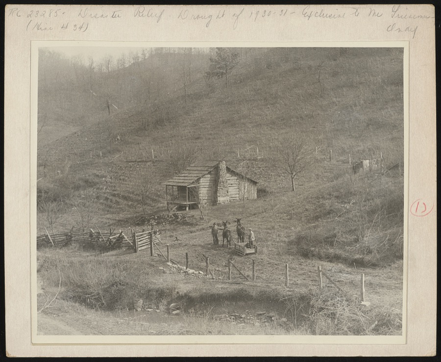
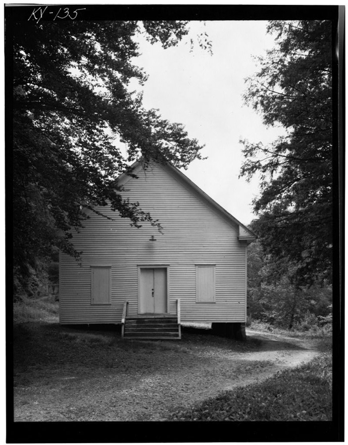
Every property in this county listed on the National Register of Historic Places, with the year it was listed and the federal nomination document.
| Photograph | Property | Type | Listed | Reference |
|---|---|---|---|---|
 | Archer House | building | 1989 | 88003162 |
| Jeff Bond House | building | 1989 | 88003174 | |
| Daniel Davis House | building | 1974 | 74000886 | |
 | First Baptist Church | building | 1989 | 88003165 |
 | First Methodist Church | building | 1989 | 88003155 |
 | First National Bank Building | building | 1989 | 88003154 |
| Flat Gap School | building | 1989 | 88003187 | |
 | Foster Hardware | building | 1989 | 88003156 |
| John J. and Ellen Lemaster House | building | 1989 | 88003177 | |
 | Mayo Methodist Church | building | 1989 | 88003152 |
 | John C. C. Mayo Mansion and Office | building | 1974 | 74000887 |
 | Thomas Mayo House | building | 1989 | 88003166 |
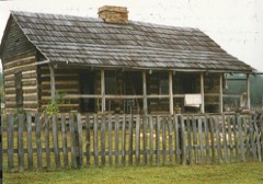 | David McKenzie Log Cabin | building | 1982 | 82002728 |
 | Meade Memorial Gymnasium | building | 1989 | 88003170 |
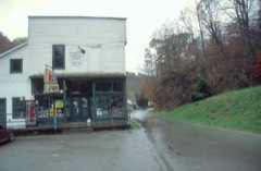 | Mine No. 5 Store | building | 1989 | 88003172 |
| Ben Mollett Cabin | building | 1989 | 88003171 | |
| Lloyd Hamilton Mott House | building | 1989 | 88003175 | |
| Oil Springs High School Gymnasium | building | 1989 | 88003178 | |
| Oil Springs Methodist Church | building | 1989 | 88003179 | |
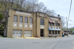 | Paintsville City Hall | building | 1989 | 88003158 |
| Paintsville Country Club | building | 1989 | 88003168 | |
| Paintsville High School | building | 1989 | 88003163 | |
 | Paintsville Public Library | building | 1989 | 88003164 |
 | Patterson House | building | 1989 | 88003167 |
 | H. B. Rice Insurance Building | building | 1989 | 88003157 |
| Wiley Rice House | building | 1989 | 88003180 | |
| Salyer House | building | 1989 | 88003181 | |
| Addison Salyer House | building | 1989 | 88003169 | |
 | Francis M. Stafford House | building | 1975 | 75000785 |
| Stambaugh Church of Christ | building | 1989 | 88003182 | |
| Stambaugh House | building | 1989 | 88003183 | |
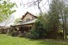 | Judge Jim Turner House | building | 1989 | 88003153 |
 | Webb House | building | 1989 | 88003160 |
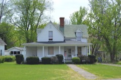 | Byrd and Leona Webb House | building | 1989 | 88003159 |
| Tobe Wiley House | building | 1989 | 88003161 | |
| Williams House | building | 1989 | 88003173 |
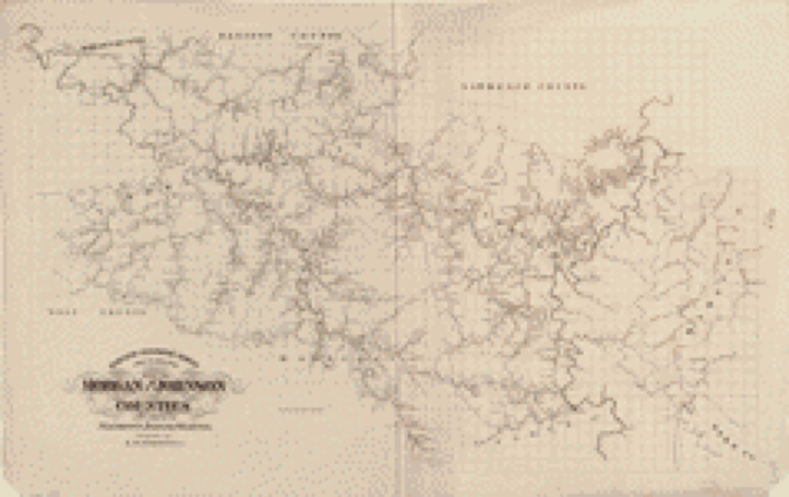
Drawn when these were printed as single large sheets: the town seen from the air, and the county divided into its farms with every owner named. Each opens the original at the Library of Congress.
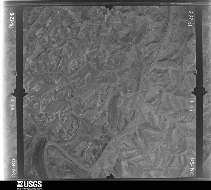
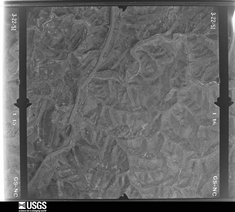
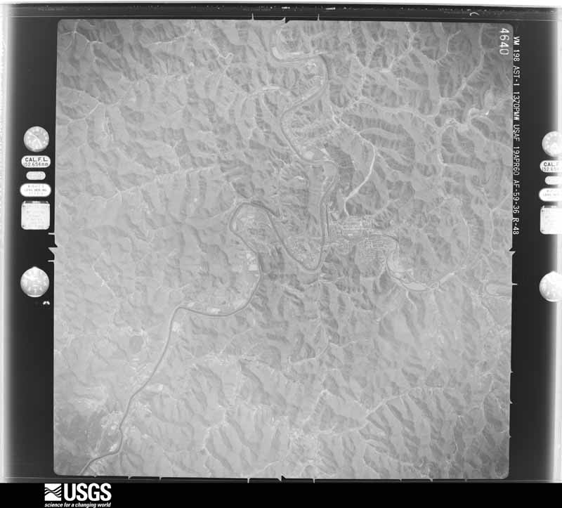
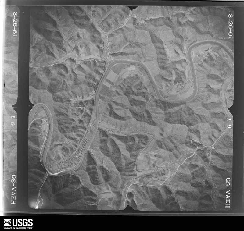
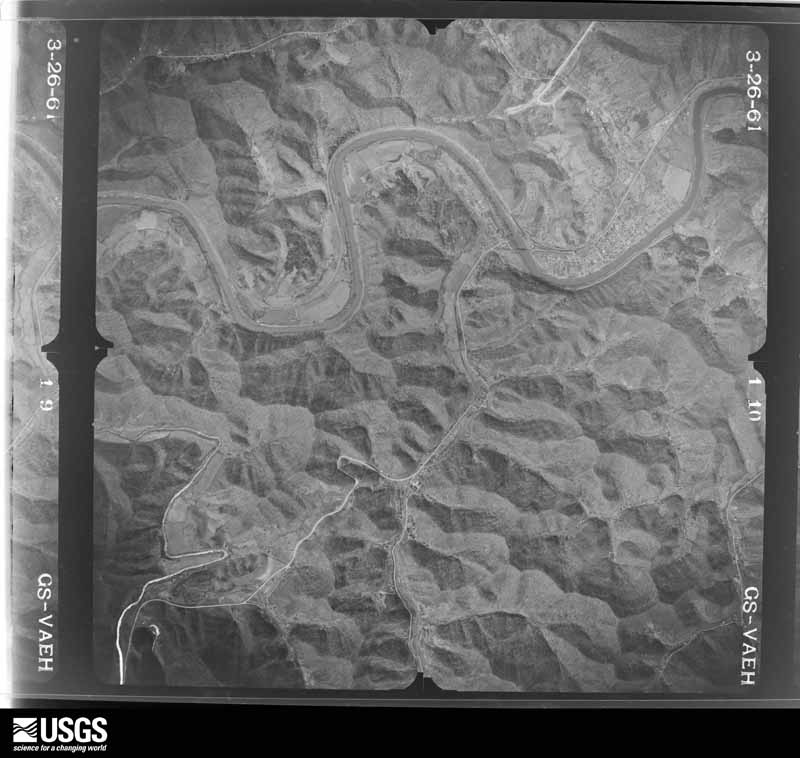
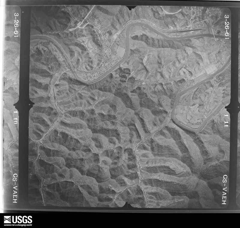
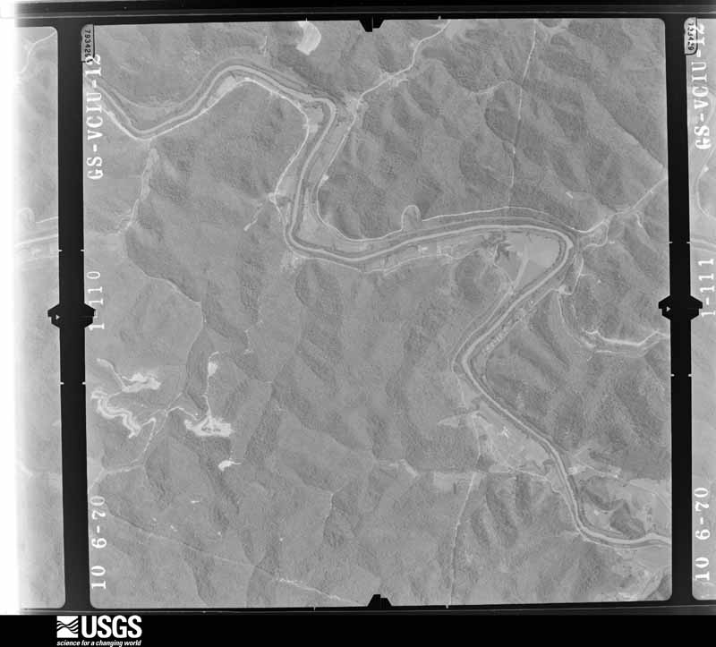
Flown by the U.S. Geological Survey between 1937 and 1989, the Aerial Photo Single Frames collection is the definitive mid-century view of the land: fields, roads and rivers as the camera saw them. The Survey holds 633 frames inside the rectangle that bounds this county; the 28 frames below were taken over the county itself, chosen across the decades of flights (at most four a year from that rectangle), so one flight cannot crowd out the rest. The full set is free to browse and download at EarthExplorer under the dataset Aerial Photo Single Frames.





















The thermometers that kept this county's weather, and the gages that measured the flow of its streams, as the federal records hold them. The extremes below are measured values from those records, not estimates.
Who lived here in 1950, one enumeration district at a time, as the Census Bureau described each district. Each row opens its official National Archives result, with Population Schedules and ED Maps available there.
Every wildfire the federal occurrence database records inside this county: 636 of them, burning about 16,160 acres. None started naturally and 139 were recorded as arson. Each settlement page carries the fires within five miles of it.
| Reported cause | Fires |
|---|---|
| Debris and open burning | 224 |
| Missing data/not specified/undetermined | 155 |
| Arson/incendiarism | 139 |
| Recreation and ceremony | 100 |
| Equipment and vehicle use | 8 |
| Railroad operations and maintenance | 5 |
| Smoking | 4 |
| Misuse of fire by a minor | 1 |
The five largest, by the area the report gives. Three of them were set deliberately.
| Date | Cause | Size | Reported by | Name on the report |
|---|---|---|---|---|
| 2 November 2001 | Arson/incendiarism | 850 acres | Kentucky Division of Forestry | not named |
| 31 October 2000 | Arson/incendiarism | 550 acres | Kentucky Division of Forestry | not named |
| 26 March 2007 | Debris and open burning | 406 acres | Kentucky Division of Forestry | PRESTON BRANCH |
| 26 April 2009 | Recreation and ceremony | 347 acres | Kentucky Division of Forestry | RT. 40 |
| 23 March 2009 | Debris and open burning | 318 acres | Kentucky Division of Forestry | HARGIS HILL |
| 13 November 2001 | Arson/incendiarism | 300 acres | Kentucky Division of Forestry | not named |
| 19 April 2005 | Missing data/not specified/undetermined | 295 acres | Kentucky Division of Forestry | CHANDLERSVILLE |
| 8 February 2015 | Debris and open burning | 253 acres | Kentucky Division of Forestry | MILLERS CREEK STRIPMINE |
Every settlement page carries the fires within five miles of it - see the settlement index below.
The NOAA Storm Events Database holds 323 reports for this county, causing 6 deaths, 24 injuries and about $18,184,300 in recorded property damage. Each settlement page carries the reports that name it.
| Kind of event | Reports |
|---|---|
| Thunderstorm Wind | 191 |
| Hail | 58 |
| Flash Flood | 48 |
| Flood | 14 |
| Tornado | 4 |
| Funnel Cloud | 4 |
| Heavy Rain | 3 |
| Debris Flow | 1 |
The most serious of them, by death, then injury, then recorded damage. The accounts are quoted exactly as the forecast office filed them.
| When | Event | Place named | Harm | What the report says |
|---|---|---|---|---|
| July 2015 | Flash Flood | Flatgap | 4 killed, 15 hurt, $3,500,000 | Flash flooding occurred in the Redbush and Flatgap communities, with devastating flooding occurring along Big Mudlick Creek and Ramey Branch. Four fatalities occurred and over 50 swift water rescues were performed in this area. Entire double wide houses were seen floating down Big Mudlick Creek and getting forced under a bridge. More than 150 homes were destroyed with as many as 500 homes being affected to some extent. While no rain gauges were located in this hard hit area, radar estimates indicate that around 3 of rain fell in an hour with brief rainfall rates of 6 to 7 per hour falling.||Of the four fatalities, one elderly woman and a disabled man were killed as they were trapped inside their mobile homes which were swept away by the flooding. A man was swept away after he got out of his sport utility vehicle as water rose around it. A fourth flood victim drown while attempting to rescue family members from the flood waters. He had successfully rescued his father, uncle, sister and nephew before being swept away. |
| March 2012 | Tornado (EF3) | Asa | 2 killed, 7 hurt, $10,000,000 | A damage survey team from the National Weather Service Forecast Office in Jackson, Kentucky determined that an EF-3 tornado tracked across central Johnson County on March 2, 2012. The tornado had a path width of about 3/4 of a mile and estimated maximum wind speeds of 160 mph. The tornado crossed into Johnson County just west of the Asa community at 708 pm EST and continued east-northeast exiting the county between the Boons Camp and Davisport communities around 725 pm EST. The towns of Hagerhill and West Van Leer were particularly hard hit with several structures totally destroyed. Two fatalities occurred in Johnson county as a result of this tornado. ||Ten to twenty houses and a former church had their roofs blown off on a 3 mile stretch of Rt. 302 in West Van Leer. A house was blown onto Hwy 825 in Hagerhill, blocking the roadway. Two different apartment buildings collapsed in Hagerhill as well, one onto Hwy 321 and another on Hwy 1428. |
| December 2025 | Thunderstorm Wind | Wittensville | 1 hurt, $15,000 | A large tree limb (5 to 6 inches in diameter) crashed through the roof of a mobile home on Witten Lane in the Wittensville community, striking a female who was lying in bed. The limb caused a deep laceration in her leg, and she was transported by ambulance to a local hospital. |
| June 2000 | Thunderstorm Wind | Wittensville | 1 hurt, $2,000 | Strong thunderstorm winds brought a tree down onto a car. The driver was transported to the hospital with minor injuries. |
| August 2014 | Flash Flood | Flatgap | $3,000,000 | Widespread flash flooding occurred across much of Johnson County during the evening of August 22nd as over three inches of rain fell in one to two hours. Basements, garages and homes were flooded in numerous areas with multiple reports of road damage to private and public property. Roads were completely blocked and in some cases were completely washed away. There were also numerous reports of downed trees and electric lines due to mudslides. Sixteen homes were classified as having major damage along with two businesses. |
| June 1998 | Flash Flood | Countywide | $500,000 | Roads flooded in northern part of county. Less than a dozen evacuations. Parked car floated away and mobile home floated off its foundation in Van Lear. |
| June 1990 | Tornado (F1) | not stated | $250,000 | no account filed |
| July 2018 | Thunderstorm Wind | Paintsville | $60,000 | An NWS Storm Survey confirmed microburst winds of between 75-85 mph removed half of a roof off of an office building and a steeple off of a church building in Paintsville. Several trees were also blown down, including one onto a residential building. A portion of Kentucky Highway 321/40 was shut down for a period of time due to downed and damaged trees. |
| February 2009 | Thunderstorm Wind | Paintsville | $50,000 | Trees were blown down on Rt 172 at Staffordsville. Power lines were down county wide. The roof was blown off a house at Millers Creek. An estimated 300 homes were without power. |
| March 2008 | Thunderstorm Wind | Paintsville | $50,000 | Numerous trees and power lines were blown down countywide. |
| June 2008 | Thunderstorm Wind | Paintsville | $50,000 | Numerous trees and powerlines were blown down by thundestorm wind gusts. |
| January 2008 | Thunderstorm Wind | Paintsville | $50,000 | Numerous trees were blown down county wide. Trees were also down and blocking Highway 1750. This damage was caused by wind gusts estimated at 67 mph. |
| March 2008 | Thunderstorm Wind | Paintsville | $30,000 | A small barn was blown onto Stone Coal Road. Several trees were also blown down on Routes 1596 and 172. |
| February 2008 | Thunderstorm Wind | Paintsville | $30,000 | Large trees were blown down county wide by thunderstorm wind gusts. A trampoline was blown onto KY 581 in Paintsville. |
| August 2007 | Thunderstorm Wind | Paintsville | $30,000 | Numerous trees down countywide. |
| February 2018 | Flood | Dawkins | $25,000 | The Powell Edition Horse Stable was inundated by flood waters just off Highway 23 as you turn into Van Lear. |
| March 2012 | Tornado (EF1) | Keaton | $25,000 | A storm damage survey conducted by the National Weather Service Office in Jackson, Kentucky indicated a tornado continued from Lawrence County into the extreme northwest tip of Johnson County on March 2, 2012. This damage represents a continuation of the track of a tornado which devastated the town of West Liberty, KY. The tornado entered the extreme northwest tip of Johnson county just west of the Keaton area around 613 pm EST. The tornado continued to track northeast straddling the Johnson/Lawrence County line until passing entirely back into Lawrence County between the Keaton and Martha communities at around 618 pm EST. Damage in extreme northwest Johnson county was consistent with an EF-1 tornado and included roof damage to several structures and numerous downed trees. This tornado continued through Lawrence County, Kentucky and into Wayne and Lincoln Counties in West Virginia. |
| April 2011 | Thunderstorm Wind | Dobson | $25,000 | There power lines and many tree limbs down near Floyd and Johnson county line. |
| February 2009 | Thunderstorm Wind | Wittensville | $25,000 | Cars were moved down an embankment by thunderstorm wind gusts. Roof damage occurred to mobile and other homes as well. One mobile home that was not anchored down was destroyed. A carport and and awning was ripped off another home by thunderstorm winds. |
| April 1998 | Flash Flood | Countywide | $25,000 | no account filed |
| June 2022 | Thunderstorm Wind | West Van Lear | $20,000 | A tree was blown down and onto a home in the West Van Lear community, in addition to large tree limbs being blow down. |
| May 2011 | Thunderstorm Wind | Oil Spgs | $20,000 | The roof of the old Oil Springs High School building was blown off by thunderstorm wind gusts. |
| April 2024 | Thunderstorm Wind | Flatgap | $15,000 | A tree was blown down onto a pickup and farm outbuildings via a public report with photo relayed by broadcast media. |
| June 2004 | Thunderstorm Wind | Van Lear Jct | $15,000 | A tree was uprooted and power lines were down. Large tree limbs were also down. Roofing material was blown off of a home. |
| February 2019 | Heavy Rain | Denver | $10,000 | A local media outlet reported recent heavy rainfall being responsible for multiple waterline breaks across the county, including in Paintsville. |
| July 2018 | Thunderstorm Wind | Thelma | $10,000 | An NWS Storm Survey confirmed microburst winds of between 75-85 mph felled several trees east of Paintsville, including one which fell on a residential building. |
| July 2015 | Flash Flood | Lowmansville | $10,000 | Flash flooding produce property damage and a number of road closures with flood waters reported entering homes in many locations. Roads that were closed because of the flooding included Hwy 581, Hwy 132, Hwy 993, Whipporwill road, the right fork of Lindy Branch, and KY Rt. 3224. Route 581 from the 2600 block to the 3600 block had 2.5 feet of water flowing across it and the water reached depths of 5 to 6 feet during the worst of the flooding. Route 132 and the right fork of Lindy Branch Road had chest deep water across them with four homes in the area flooded.Heavy rain also caused a number of mudslides in and around Wittensville. Multiple trees were also wash off hillsides in the area. |
| August 2014 | Flash Flood | Hagerhill | $10,000 | Severe flood damage along KY 1750 near Paintsville made the road impassable. |
| June 2012 | Thunderstorm Wind | Staffordsville | $10,000 | The wind was measured at 68 mph using a home weather station. Several trees were blown down. |
| June 2012 | Thunderstorm Wind | Paintsville | $10,000 | There were trees down in downtown Paintsville. |
| July 2012 | Thunderstorm Wind | Paintsville | $10,000 | A tree was reported to have been blow down onto a house. |
| March 2012 | Thunderstorm Wind | Paintsville | $10,000 | The roof of Paintsville High School was damaged by thunderstorm wind gusts. |
| May 2011 | Thunderstorm Wind | Staffordsville | $10,000 | Trees and power lines were blown down in Staffordsville. |
| May 2011 | Thunderstorm Wind | Stambaugh | $10,000 | Trees and power lines were blown down in Stambaugh. |
| June 2010 | Thunderstorm Wind | Paintsville | $10,000 | Several trees were blown down in and all around Paintsville. |
| June 2010 | Thunderstorm Wind | Paintsville | $10,000 | Several trees and power lines were blown down along Ponderosa Dr in Paintsville. |
| June 2009 | Thunderstorm Wind | Keaton | $10,000 | Trees were blown down on Highway 1614 near Keaton as well as on Highways 581 and 172. |
| May 2008 | Thunderstorm Wind | Paintsville | $10,000 | Eight to ten trees were blown down in the eastern part of the county. |
| November 2003 | Flash Flood | Paintsville | $10,000 | Homes were flooded and water was over roads on Rough Ridge. |
| July 1998 | Flash Flood | South Portion | $10,000 | Spotters indicated that up to 4.5 inches of rain fell over southern portions of the county during a three hour period. Many roads were water covered. One stream overflowed its banks onto Route 302 in Van Lear. Route 1750 was water covered near the East Point community, and the Greer Branch Road was washed out in the Hagerhill area. A few mudslides were also reported in these areas. The flash flooding led to evacuations in the Hagerhill and East Point communities. |
| March 1997 | Thunderstorm Wind | Paintsville | $10,000 | no account filed |
| March 1997 | Thunderstorm Wind | Paintsville | $10,000 | no account filed |
| August 2000 | Thunderstorm Wind | River | $8,000 | Strong winds blew out windows and produced roof damage to one home. Numerous tees and power lines were also downed across a 4 square mile area along Route 2040. |
| June 2009 | Thunderstorm Wind | River | $7,000 | Several large trees were blown down. |
| June 2009 | Thunderstorm Wind | River | $7,000 | Several large trees were blown down. |
| June 2012 | Thunderstorm Wind | Elna | $6,000 | A tree fell on a house causing minor damage. |
| July 2023 | Thunderstorm Wind | Evanston | $5,000 | Trees were blown down onto a powerline leading to a fire in Van Lear. |
| June 2012 | Thunderstorm Wind | Redbush | $5,000 | Several trees were blown down on Highways 172 and 3214 with the initial gust front. |
| May 2011 | Hail | Paintsville | $5,000 | Quarter size hail was reported by law enforcement officers who were on a foot pursuit in the Paintsville area. The hail dented cars in the area. |
| May 2011 | Flash Flood | Kerz | $5,000 | Flood damage occurred to a residence in the Kerz area along KY 201 and another home on Puncheon Creek. |
| June 2010 | Thunderstorm Wind | Keaton | $5,000 | Several trees were blown down in Keaton. |
| June 2010 | Thunderstorm Wind | Chandlerville | $5,000 | Several trees were blown down near Chandlerville. |
| June 2010 | Thunderstorm Wind | Chandlerville | $5,000 | Several large trees were blown down 2 miles southwest of Stambaugh in the community of Sip. |
| June 2008 | Thunderstorm Wind | Paintsville | $5,000 | The roof was blown of the elevator shaft at the top of the five story tall Citizens National Bank building. |
| June 2008 | Thunderstorm Wind | Staffordsville | $5,000 | Trees were blown down by thunderstorm wind gusts. |
| June 2008 | Thunderstorm Wind | Van Lear Jct | $5,000 | Some trees were blown down by thunderstorm wind gusts. |
| June 2008 | Thunderstorm Wind | Boons Camp | $5,000 | Trees were blown down along Pigeonroost Branch. |
| May 2002 | Thunderstorm Wind | Countywide | $5,000 | Numerous trees were reported down by strong thunderstorm winds. |
| July 2000 | Flash Flood | Countywide | $5,000 | Flash flooding prompted the rescue of a small child from rising waters on Davis Branch road near Route 1107, no injuries were reported. 30 to 40 homes were evacuated across numerous parts of the county. Many roads were closed or damaged by the flood waters. |
| April 2011 | Thunderstorm Wind | River | $4,000 | There were trees blown down on KY route 581 in River. |
The Survey's mineral resources record lists 7 workings inside this county. None of them still produces: all are closed or unrecorded. Each settlement page carries the workings within five miles of it.
| Commodity | Workings |
|---|---|
| Clay | 6 |
| Silica | 1 |
The least common of them first, because a county's hundredth gravel pit says nothing its first ten did not.
| Where | Site | Commodity | Status | Recorded |
|---|---|---|---|---|
| Stffordsville Sandstone Roadcut | Silica | Prospect | ||
| Cantrill Branch Shale | Clay | Prospect | ||
| Flat Gap Shale | Clay | Prospect | ||
| Greasy Creek Clay Bed | Clay | Prospect | ||
| Shack Branch Shale | Clay | Prospect | ||
| Volga Shale | Clay | Prospect | ||
| Whippoorwill Branch Shale | Clay | Prospect |
Named settlements recorded in the Geographic Names Information System, each with the topographic sheets covering it. Villages, hamlets and abandoned places alike. Each is shown with the nearest named watercourse or landform and the survey quadrangle it falls on. The 1 place that was also surveyed for fire insurance comes first, with the number of atlases and photographs held for them.
Paintsville census division · 41240 · On Blackberry Branch · Paintsville quadrangle
17 sheets, 1886 to 1992
Fire insurance: 4 atlases
Oil Springs census division · 41222 · On Cantrill Fork · Oil Springs quadrangle
17 sheets, 1886 to 1992
Oil Springs census division · 41256 · On Pickle Fork · Oil Springs quadrangle
17 sheets, 1886 to 1992
Nippa census division · 41257 · On Green Branch · Sitka quadrangle
17 sheets, 1886 to 1992
Paintsville census division · 41240 · On Chestnut Creek · Richardson quadrangle
17 sheets, 1886 to 1992
Oil Springs census division · 41222 · On Middle Fork Lick Fork · Paintsville quadrangle
17 sheets, 1886 to 1992
Paintsville census division · 41268 · On Burnt Cabin Branch · Paintsville quadrangle
17 sheets, 1886 to 1992
Oil Springs census division · 41222 · On Lower Twin Branch · Paintsville quadrangle
17 sheets, 1886 to 1992
Oil Springs census division · 41222 · On Mill Creek · Ivyton quadrangle
16 sheets, 1886 to 1992
Paintsville census division · 41222 · Near Bear Hollow · Prestonsburg quadrangle
17 sheets, 1886 to 1992
Flatgap census division · 41219 · On Conley Branch · Redbush quadrangle
17 sheets, 1886 to 1992
Flatgap census division · 41219 · On Spicelick Branch · Redbush quadrangle
17 sheets, 1886 to 1992
Paintsville census division · 41222 · On Burnt Cabin Branch · Paintsville quadrangle
17 sheets, 1886 to 1992
Flatgap census division · 41238 · On Frazier Branch · Oil Springs quadrangle
17 sheets, 1886 to 1992
Flatgap census division · 41226 · On Noisy Branch · Redbush quadrangle
17 sheets, 1886 to 1992
Oil Springs census division · 41222 · On Asa Creek · Paintsville quadrangle
17 sheets, 1886 to 1992
Oil Springs census division · 41238 · On McCarty Branch · Oil Springs quadrangle
17 sheets, 1886 to 1992
Paintsville census division · 41234 · On Fitch Branch · Offutt quadrangle
16 sheets, 1886 to 1992
Paintsville census division · 41265 · On Flatwood Branch · Lancer quadrangle
18 sheets, 1886 to 1992
Paintsville census division · 41265 · On Brushy Fork · Offutt quadrangle
16 sheets, 1886 to 1992
Paintsville census division · 41240 · On Toms Creek · Offutt quadrangle
16 sheets, 1886 to 1992
Oil Springs census division · 41238 · On Caudill Branch · Oil Springs quadrangle
17 sheets, 1886 to 1992
Flatgap census division · 41219 · On Salyer Branch · Redbush quadrangle
17 sheets, 1886 to 1992
Oil Springs census division · 41240 · On Long Fork · Ivyton quadrangle
16 sheets, 1886 to 1992
Paintsville census division · 41255 · On Browns Fork · Sitka quadrangle
17 sheets, 1886 to 1992
Paintsville census division · 41256 · On Stave Branch · Paintsville quadrangle
17 sheets, 1886 to 1992
Oil Springs census division · 41240 · On Swamp Branch · Ivyton quadrangle
16 sheets, 1886 to 1992
Paintsville census division · 41240 · On Muddy Branch · Paintsville quadrangle
17 sheets, 1886 to 1992
Paintsville census division · 41260 · On Rockhouse Branch · Paintsville quadrangle
17 sheets, 1886 to 1992
Paintsville census division · 41263 · On Long Branch · Paintsville quadrangle
17 sheets, 1886 to 1992
Paintsville census division · 41265 · On Webb Branch · Paintsville quadrangle
17 sheets, 1886 to 1992
Paintsville census division · 41219 · On Stonecoal Branch · Paintsville quadrangle
17 sheets, 1886 to 1992
Paintsville census division · 41268 · On Burnt Cabin Branch · Paintsville quadrangle
17 sheets, 1886 to 1992
Paintsville census division · 41240 · On Lick Creek · Offutt quadrangle
16 sheets, 1886 to 1992
Paintsville census division · 41271 · On Left Fork Twomile Creek · Offutt quadrangle
16 sheets, 1886 to 1992
Nippa census division · 41219 · On Fairchild Branch · Sitka quadrangle
17 sheets, 1886 to 1992
Paintsville census division · 41274 · On Williams Fork · Paintsville quadrangle
17 sheets, 1886 to 1992
17 topographic sheets and 4 fire insurance atlases, 1910 to 1940
The complete index, with nothing left out. Each of these is a separate record with its own page: a federal survey report, or the case file that argued a property on to the National Register. Both are public domain and reproduced word for word.