 Block
Greenwood, Kentucky
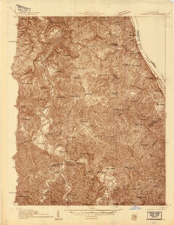
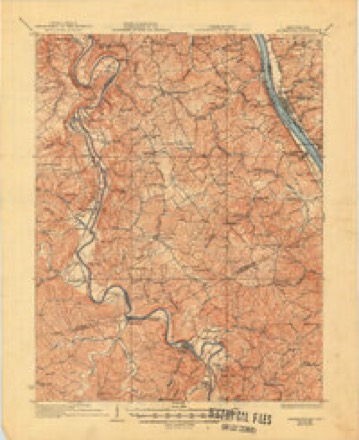
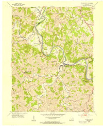
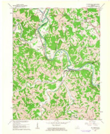
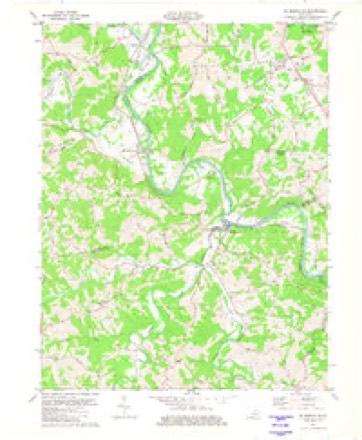
11 topographic sheets cover this place, the earliest surveyed in 1929 and the latest in 1986. It stands in the Butler census division. It lies in ZIP code area 41006. It stands on Greenwood Hill. The Survey maps it on the De Mossville quadrangle.
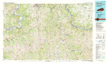
Topographic sheets covering this place
8 surveys from 11 printed sheetsMatched by testing this settlement's coordinate against the published boundary of every sheet in the United States Geological Survey's historical collection. Each opens the scanned sheet at the Survey.
- 1929 USGS Alexandria quadrangle1:48000
- 1936 USGS Alexandria quadrangle1:62500, 2 printings
- 1953 USGS De Mossville quadrangle1:24000
- 1956 USGS Louisville quadrangle1:250000, 2 printings
- 1961 USGS De Mossville quadrangle1:24000
- 1964 USGS Louisville quadrangle1:250000
- 1981 USGS De Mossville quadrangle1:24000
- 1986 USGS Falmouth quadrangle1:100000, 2 printings


Fires near this place
3 since 2001Regional context, not property-specific evidence. The federal wildfire occurrence database lists 3 fires within 5 miles of Greenwood between 2001 and 2003, burning about 23 acres in total. None started naturally. 1 was recorded as arson. Distance is straight-line from the map coordinates, so a fire counted here may appear on a neighbouring settlement's page as well.
| Reported cause | Fires |
|---|---|
| Missing data/not specified/undetermined | 1 |
| Arson/incendiarism | 1 |
| Recreation and ceremony | 1 |
The most recent of them, most recent first, with the day each was reported and the service that recorded it.
| Date | Cause | Size | Reported by | Name on the report |
|---|---|---|---|---|
| 12 April 2001 | Arson/incendiarism | 20 acres | Kentucky Division of Forestry | not named |
| 25 February 2002 | Recreation and ceremony | 3.0 acres | Kentucky Division of Forestry | not named |
| 4 November 2003 | Missing data/not specified/undetermined | under an acre | Kentucky Division of Forestry | not named |
Settlements close enough to share some of these fires:
Mines and quarries near this place
2 within 5 milesRegional context, not property-specific evidence. The federal mineral resources record lists 2 workings within 5 miles of Greenwood: 1 producer, 1 unknown. 1 still produces. What was taken out: Stone, Crushed/Broken. Distance is straight-line from the map coordinates, so a quarry counted here may appear on a neighbouring settlement's page as well.
| Where | Site | Commodity | Status | Recorded |
|---|---|---|---|---|
| Butler Quarry | Stone, Crushed/Broken | Producer | ||
| Carntown Limekiln | Stone, Crushed/Broken | Unknown |
Storms near this place
7 since 2008Regional context, not property-specific evidence. The National Weather Service names Greenwood in 7 storm reports between 2008 and 2021: 3 flood, 3 thunderstorm wind, 1 tornado. The reports record 3 injuries. Each account below is quoted exactly as the forecast office filed it, from the NOAA Storm Events Database, and each date opens the federal record of that event.
| When | Event | Place named | Harm | What the report says |
|---|---|---|---|---|
| December 2015 | Tornado (EF1) | Greenwood | 3 hurt, $120,000 | Damage was first observed just north of the intersection of U.S. Route 27 and Bethel Loop. This location is south of Butler and northwest of Falmouth in Pendleton County. A mobile home originally anchored into the ground at 8-10 points was tilted and briefly lifted before rolling onto its top on the east side of Bethel Loop. The three residents sustained minor injuries requiring overnight hospitalization. Debris from the mobile home was carried downwind for approximately one-tenth of a mile. The debris field remained confined to a narrow path as it tapered to the east-northeast. This seemed indicative of convergent motion associated with the circulation. There were also several 6-8 inch trees snapped immediately west of the mobile home. This is likely where the first touchdown occurred. The tornado then lifted. The next damage location was a metal barn on Ashcraft Road. The entire roof was lifted and removed from the barn. The roof measured approximately 60 feet by 30 feet and the barn was relatively new (construction within the last 10 years). The roof was carried into adjacent trees immediately northeast of the structure. There was minor damage to a smaller barn just northwest of the path center line. The homeowner also described a dock approximately 15 square feet that was pulled from its anchor and moved north-northeast across a pond toward the center line of the path. All of this damage indicated a convergent and lifting motion associated with the tornado. The tornado then lifted again, as damage was next observed along Route 609 just south of the intersection with Davis Road. One barn west of Route 609 was destroyed and a tree approximately 20 inches in diameter immediately east of the road was snapped at the trunk and fell against a residence. Debris was carried between one and two tenths of a mile to the northeast. Another barn just to the north was partially destroyed. Tornadic damage was not as conclusive at this location, but debris was confined to a narrow path likely due to convergent wind motion. A number of trees were snapped to the northeast along Davis Road. Trees ranged in diameter from 8 to 16 inches. The clearest evidence of circulation on the ground was located along Route 159 where several types of damage occurred at a residence south of the intersection with Davis Road. The roof was partially removed from the residence and some of the insulation was dispersed to the west and spattered against the west side of the house. Insulation was also spattered on trees immediately to the northwest. Heavy sections of metal fencing from a horse corral were lifted and carried approximately 50 yards to the west. Both of these debris fields were carried and deposited opposite the storm motion. A number of trees just north and south of the residence were also snapped. The tornado lifted again before touching down one last time. The final damage was found along Hickory Grove Road, south of the intersection with Route 10. This is the estimated end of the tornado path. A camper was lifted to the north-northeast approximately 10-15 feet over trees before being dropped and destroyed. There was also minor structural damage at two nearby mobile homes. This damage consisted of garage doors blown inward and some roof damage. |
| December 2015 | Thunderstorm Wind | Greenwood | $50,000 | The Bethel Church had half of its roof torn off. Only the trusses were left on the half of the roof that was lost. Some people are concerned the historic building may be well beyond repair. In addition a large tree was knocked over in the adjacent cemetery. |
| March 2008 | Flood | Greenwood | $5,000 | Five bridges were flooded across the county. |
| July 2018 | Thunderstorm Wind | Greenwood | $3,000 | A few trees were downed. |
| March 2008 | Flood | Greenwood | $3,000 | Several low-lying bridges and roads were flooded. |
| August 2021 | Thunderstorm Wind | Greenwood | $250 | Several large branches were downed onto U.S. 27. |
| April 2021 | Flood | Greenwood | - | Water was reported across State Route 17. |
Nearest settlements
The eight closest, with where each one stands in the county. Distances are straight-line, computed from the Geographic Names Information System coordinates.
| Map | Place | Distance | Sheets |
|---|---|---|---|
| Boston | 2.1 miles | 10 | |
| Meridian | 2.6 miles | 10 | |
| Butler | 2.6 miles | 10 | |
| Menzie | 2.7 miles | 10 | |
| Portland | 3.1 miles | 10 | |
| Flower Town (historical) | 3.6 miles | 10 | |
| Caldwell | 3.8 miles | 11 | |
| DeMossville | 4.0 miles | 11 |
Provenance
This settlement is recorded in the Geographic Names Information System as feature 508133. The sheet list is computed by point-in-boundary test against the United States Geological Survey's historical topographic inventory. Both are works of the United States government and carry no copyright under 17 U.S.C. 105.
Wildfire. Short, Karen C. 2022. Spatial wildfire occurrence data for the United States, 1992-2020 [FPA_FOD_20221014]. 6th Edition. Fort Collins, CO: Forest Service Research Data Archive. https://doi.org/10.2737/RDS-2013-0009.6 Collected with United States Government funding and usable without additional permissions or fees.
Mines and quarries. USGS Mineral Resources Data System (MRDS) https://mrdata.usgs.gov/mrds/ A work of the United States government, no copyright under 17 U.S.C. 105.
Storms. NOAA National Centers for Environmental Information, Storm Events Database https://www.ncei.noaa.gov/stormevents/ A work of the United States government, no copyright under 17 U.S.C. 105. Narratives are quoted verbatim from the National Weather Service report and are not edited or summarised.