 Block
Greenwood, Kentucky
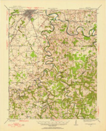
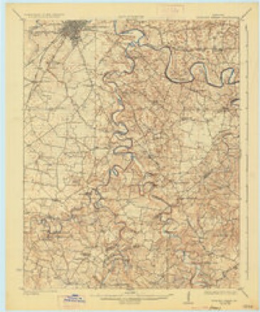
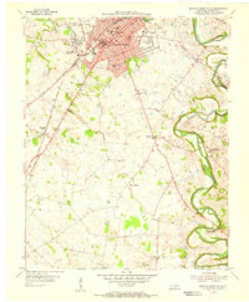
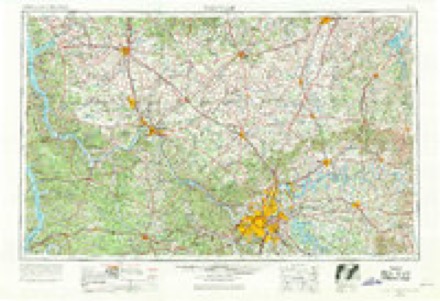
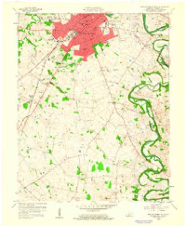
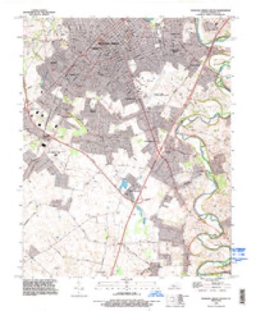
16 topographic sheets cover this place, the earliest surveyed in 1921 and the latest in 1993. It stands in the Bowling Green census division. It lies in ZIP code area 42103. The Survey maps it on the Bowling Green South quadrangle.
Topographic sheets covering this place
9 surveys from 16 printed sheetsMatched by testing this settlement's coordinate against the published boundary of every sheet in the United States Geological Survey's historical collection. Each opens the scanned sheet at the Survey.
- 1921 USGS Bowling Green quadrangle1:62500
- 1923 USGS Bowling Green quadrangle1:62500, 4 printings
- 1954 USGS Bowling Green South quadrangle1:24000
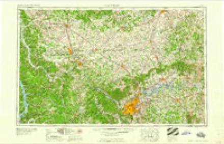
- 1956 USGS Nashville quadrangle1:250000, 2 printings
- 1959 USGS Bowling Green South quadrangle1:24000
- 1959 USGS Nashville quadrangle1:250000
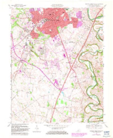
- 1968 USGS Bowling Green South quadrangle1:24000, 2 printings
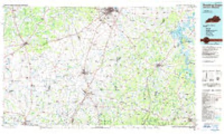
- 1985 USGS Bowling Green quadrangle1:100000, 3 printings
- 1993 USGS Bowling Green South quadrangle1:24000
Fires near this place
3 since 2006Regional context, not property-specific evidence. The federal wildfire occurrence database lists 3 fires within 5 miles of Greenwood between 2006 and 2016, burning about 1 acre in total. None started naturally. None was recorded as arson. Distance is straight-line from the map coordinates, so a fire counted here may appear on a neighbouring settlement's page as well.
| Reported cause | Fires |
|---|---|
| Recreation and ceremony | 1 |
| Missing data/not specified/undetermined | 1 |
| Smoking | 1 |
The most recent of them, most recent first, with the day each was reported and the service that recorded it.
| Date | Cause | Size | Reported by | Name on the report |
|---|---|---|---|---|
| 1 July 2012 | Smoking | under an acre | Kentucky Division of Forestry | MORGANTOWN |
| 30 March 2006 | Missing data/not specified/undetermined | 1.0 acres | Kentucky Division of Forestry | not named |
| 24 October 2016 | Recreation and ceremony | under an acre | Kentucky Division of Forestry | DEWEY LAKE RD |
Settlements close enough to share some of these fires:
Storms near this place
8 since 2008Regional context, not property-specific evidence. The National Weather Service names Greenwood in 8 storm reports between 2008 and 2025: 7 thunderstorm wind, 1 tornado. No death or injury is recorded in these reports. Each account below is quoted exactly as the forecast office filed it, from the NOAA Storm Events Database, and each date opens the federal record of that event.
| When | Event | Place named | Harm | What the report says |
|---|---|---|---|---|
| January 2008 | Thunderstorm Wind | Greenwood | $30,000 | Thunderstorm winds blew a tree on to a house on Browning Street. |
| January 2008 | Thunderstorm Wind | Greenwood | $5,000 | Thunderstorm winds blew down a large sign at a salon on Shive Lane. |
| May 2025 | Thunderstorm Wind | Greenwood | - | Some tree tops were broken by strong winds and several power outages occurred. |
| January 2022 | Tornado (EF0) | Greenwood | - | NWS Storm Survey Teams found an area of straight line winds of 70 to 75 mph, beginning at the Hunting Creek subdivision off of Cave Mill Road. Along Cave Mill Road fences were blown down, minor shingle damage to homes occurred, and many pine and cedar trees were snapped and topped.||At the intersection of Curtis and Cave Mill Rd, there was a change in the damage pattern. The damage became more concentrated with gutters, shingles, roof, and soffit damage. Trees were snapped and uprooted facing to the north, northeast, and east southeasterly direction. Clear evidence was found of a weak tornado that formed with winds estimated between 80 and 85 mph. The tornado was slightly elevated off the ground and was very intermittent.||The tornado lifted just before the Marriott TownePlace Suites on Cave Mill Rd, and then there was sporadic straight-wind damage all the way to Ashton Parc Apartments off of Shive Lane. Thornton Furniture had the most damage from the straight-line winds with roofing and facade damage. |
| January 2022 | Thunderstorm Wind | Greenwood | - | A video on social media showed multiple mature pine trees that were snapped and damage to one of the buildings at Aston Parc Apartments. |
| January 2022 | Thunderstorm Wind | Greenwood | - | A video on social media showed roof damage to a Kroger and fence at the back of the parking lot. |
| April 2022 | Thunderstorm Wind | Greenwood | - | A tree was down. |
| June 2011 | Thunderstorm Wind | Greenwood | - | Local law enforcement reported several trees were downed along Scottsville Road. |
Nearest settlements
The eight closest, with where each one stands in the county. Distances are straight-line, computed from the Geographic Names Information System coordinates.
| Map | Place | Distance | Sheets |
|---|---|---|---|
| Middle Bridge | 1.4 miles | 16 | |
| Eastland Park | 1.6 miles | 16 | |
| Three Springs | 1.9 miles | 16 | |
| Shawnee Estates | 2.2 miles | 16 | |
| Mount Victor | 3.0 miles | 16 | |
| Lost River | 3.1 miles | 16 | |
| White Kitchen (historical) | 3.1 miles | 16 | |
| Briarwood Manor | 3.2 miles | 16 |
Provenance
This settlement is recorded in the Geographic Names Information System as feature 493347. The sheet list is computed by point-in-boundary test against the United States Geological Survey's historical topographic inventory. Both are works of the United States government and carry no copyright under 17 U.S.C. 105.
Wildfire. Short, Karen C. 2022. Spatial wildfire occurrence data for the United States, 1992-2020 [FPA_FOD_20221014]. 6th Edition. Fort Collins, CO: Forest Service Research Data Archive. https://doi.org/10.2737/RDS-2013-0009.6 Collected with United States Government funding and usable without additional permissions or fees.
Storms. NOAA National Centers for Environmental Information, Storm Events Database https://www.ncei.noaa.gov/stormevents/ A work of the United States government, no copyright under 17 U.S.C. 105. Narratives are quoted verbatim from the National Weather Service report and are not edited or summarised.