 Block
Guy, Kentucky
13 topographic sheets cover this place, the earliest surveyed in 1914 and the latest in 1981. It stands in the Hadley-Browning census division. It lies in ZIP code area 42101. It lies near Flippo Hill. The Survey maps it on the Hadley quadrangle. It stands 505 feet above sea level.
Topographic sheets covering this place
7 surveys from 13 printed sheetsMatched by testing this settlement's coordinate against the published boundary of every sheet in the United States Geological Survey's historical collection. Each opens the scanned sheet at the Survey.
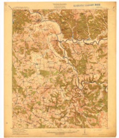
- 1914 USGS Little Muddy quadrangle1:62500, 4 printings
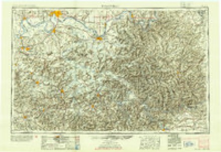
- 1954 USGS Evansville quadrangle1:250000
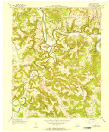
- 1954 USGS Hadley quadrangle1:24000
- 1957 USGS Evansville quadrangle1:250000, 3 printings
- 1961 USGS Evansville quadrangle1:250000, 2 printings
- 1973 USGS Hadley quadrangle1:24000
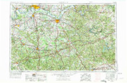
- 1981 USGS Beaver Dam quadrangle1:100000
Fires near this place
18 since 1997Regional context, not property-specific evidence. The federal wildfire occurrence database lists 18 fires within 5 miles of Guy between 1997 and 2019, burning about 353 acres in total. None started naturally. 5 were recorded as arson. Distance is straight-line from the map coordinates, so a fire counted here may appear on a neighbouring settlement's page as well.
| Reported cause | Fires |
|---|---|
| Missing data/not specified/undetermined | 8 |
| Arson/incendiarism | 5 |
| Debris and open burning | 2 |
| Misuse of fire by a minor | 1 |
| Smoking | 1 |
| Recreation and ceremony | 1 |
The most recent of them, most recent first, with the day each was reported and the service that recorded it.
| Date | Cause | Size | Reported by | Name on the report |
|---|---|---|---|---|
| 25 September 1999 | Smoking | 2.0 acres | Kentucky Division of Forestry | not named |
| 28 August 1999 | Debris and open burning | 26 acres | Kentucky Division of Forestry | not named |
| 6 April 2001 | Arson/incendiarism | 9.0 acres | Kentucky Division of Forestry | not named |
| 2 April 2003 | Missing data/not specified/undetermined | 10 acres | Kentucky Division of Forestry | not named |
| 16 April 2019 | Missing data/not specified/undetermined | 15 acres | Kentucky Division of Forestry | RIVERSIDE |
| 13 April 1998 | Debris and open burning | 3.0 acres | Kentucky Division of Forestry | not named |
| 9 March 2007 | Recreation and ceremony | 75 acres | Kentucky Division of Forestry | not named |
| 25 March 2006 | Missing data/not specified/undetermined | 1.0 acres | Kentucky Division of Forestry | not named |
Settlements close enough to share some of these fires:
Mines and quarries near this place
1 within 5 milesRegional context, not property-specific evidence. The federal mineral resources record lists 1 working within 5 miles of Guy: 1 prospect. None of them still produces. What was taken out: Clay. Distance is straight-line from the map coordinates, so a quarry counted here may appear on a neighbouring settlement's page as well.
| Where | Site | Commodity | Status | Recorded |
|---|---|---|---|---|
| Sugar Grove Shale | Clay | Prospect |
Storms near this place
1 since 2024Regional context, not property-specific evidence. The National Weather Service names Guy in 1 storm report in 2024: 1 tornado. No death or injury is recorded in these reports. Each account below is quoted exactly as the forecast office filed it, from the NOAA Storm Events Database, and each date opens the federal record of that event.
| When | Event | Place named | Harm | What the report says |
|---|---|---|---|---|
| May 2024 | Tornado (EF1) | Guy | - | This tornado is a continuation of the track which started in Muhlenberg County and continued across Butler County. In total, this EF1 tornado was on the ground for over 40 miles and 50 minutes across three counties. To see information about the tornado as it passed through Muhlenberg County, please see the associated Storm Data entry from the National Weather Service Paducah office.||The tornado entered Warren County just south of U.S. Route 231, and quickly crossed Highway 231 and Interstate 165 after entering the county. Just east of that location, intensity again increased along a |ridge at Highland Church Road and Sallys Rock near Rockland. |Intense tree damage occurred with winds estimated at 100 to 105 |mph. The tornado continued east-southeast through northern Warren County, |crossing the Barren River several times and continuing to damage |numerous trees. Weaker EF0 damage was noted along these points, |with fairly sporadic, yet still tornadic damage signatures. Roads |that were crossed included Halls Chapel, Jenkins, and Goud Lake |Road. ||After the tornado crossed Kentucky Route 185, it entered a subdivision off|Mount Olivet Road. Here, a home suffered high end EF1 damage as |the roofing structure was completely removed and spread downwind. |Some of the damage impacted another house downstream, severely |damaging the side wall of the home. The main home damage alone |looked to be EF2 strength at first glance, however it was |determined that the wind was easily able to get up under the |roofing structure on the northwest side of the house and this resulted in a total loss of the second story. |Given that there were no other instances of damage even close to |that strength around, it was decided to keep the rating at EF1 with estimated winds of |110 mph. Other homes were damaged by debris from upstream |outbuildings, as well as some tree damage. Insulation spattering |was noted on the back side of structures and vehicles, also |indicating cyclonic rotation. An eyewitness also had a photo of |what appeared to be a funnel. The tornado continued on Mount |Olivet Road to the east-southeast for another couple of miles before lifting at EF0 strength near Girkin. |
Nearest settlements
The eight closest, with where each one stands in the county. Distances are straight-line, computed from the Geographic Names Information System coordinates.
| Map | Place | Distance | Sheets |
|---|---|---|---|
| Clark Landing | 1.0 miles | 14 | |
| Rockland | 2.8 miles | 13 | |
| Mount Pisgah (historical) | 2.9 miles | 14 | |
| Benleo | 3.7 miles | 13 | |
| Riverside | 4.4 miles | 14 | |
| Hadley | 4.4 miles | 13 | |
| Greencastle | 6.6 miles | 15 | |
| Barren River | 7.3 miles | 13 |
Elsewhere
Matched on this settlement's Geographic Names Information System number rather than its name, so it cannot be a different place of the same name in another state.
| Wikipedia article on Guy | An encyclopaedic summary. Its text is share-alike, so it is linked here rather than copied. |
| Wikidata item Q14690508 | The structured record the population and elevation above come from. Public domain (CC0). |
Provenance
This settlement is recorded in the Geographic Names Information System as feature 508151. The sheet list is computed by point-in-boundary test against the United States Geological Survey's historical topographic inventory. Both are works of the United States government and carry no copyright under 17 U.S.C. 105.
Wildfire. Short, Karen C. 2022. Spatial wildfire occurrence data for the United States, 1992-2020 [FPA_FOD_20221014]. 6th Edition. Fort Collins, CO: Forest Service Research Data Archive. https://doi.org/10.2737/RDS-2013-0009.6 Collected with United States Government funding and usable without additional permissions or fees.
Mines and quarries. USGS Mineral Resources Data System (MRDS) https://mrdata.usgs.gov/mrds/ A work of the United States government, no copyright under 17 U.S.C. 105.
Storms. NOAA National Centers for Environmental Information, Storm Events Database https://www.ncei.noaa.gov/stormevents/ A work of the United States government, no copyright under 17 U.S.C. 105. Narratives are quoted verbatim from the National Weather Service report and are not edited or summarised.