 Block
Harrodsburg, Kentucky
14 topographic sheets cover this place, the earliest surveyed in 1905 and the latest in 1991. It stands in the Harrodsburg census division. It lies in ZIP code area 40330. It stands on East Fork Town Creek. The Survey maps it on the Harrodsburg quadrangle. 9,064 people lived here at the 2020 count. It stands 853 feet above sea level.
Research this city
On record in Harrodsburg
Buildings and businesses the archive holds for this place. Each opens its own page, with the source record it came from.
On the National Register 12 of 55 shown
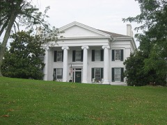 Aspen Halllisted 1989
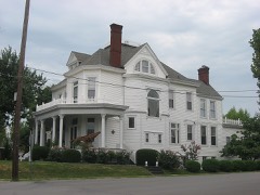 Beaumont Avenue Residential Districtlisted 1989
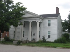 Cardwelltonlisted 1977
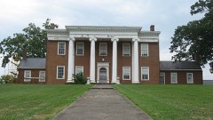 Clay Hilllisted 1976
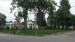 College Street Historic Districtlisted 1979
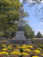 Confederate Monument in Harrodsburglisted 1997
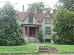 Daniel Curry Houselisted 1989
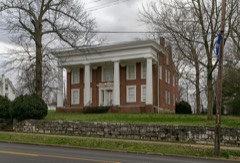 Dorichamlisted 1976
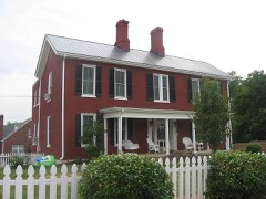 Elms, Thelisted 1989
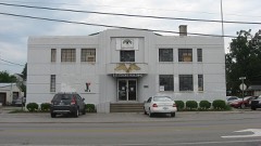 Harrodsburg Armorylisted 2000
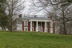 Honeysuckle Hilllisted 1983
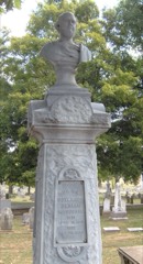 Beriah Magoffin Monumentlisted 1997
Every listing in Mercer County
Surveyed buildings and structures 9 records
- Aspen Hall, Beaumont Avenue, Harrodsburgfederal building survey, 1 photograph
- Clay Hill, 853 Beaumont Avenue, Harrodsburgfederal building survey, 3 photographs
- Court View, 360 North Main Street, Harrodsburgfederal building survey, 1 photograph
- Marrs Log House, Chatham Pike, Harrodsburgfederal building survey, 6 photographs
- Mud Meetinghouse, Dry Branch Road, Harrodsburgfederal building survey, 5 photographs
- Rebecca Hart Cabin, Harrodsburgfederal building survey, 2 photographs
- Samuel Taylor House, Chatham Pike, Harrodsburgfederal building survey, 12 photographs
- The Mansion, Old Fort Harrod State Park, formerly Pioneer Memorial State Park, Harrodsburgfederal building survey, 6 photographs
- Zachary Smith House, Hillcrest & South Greenville Streets, Harrodsburgfederal building survey, 1 photograph
Population over time
2 figuresHarrodsburg grew from 8,340 to 9,064 between 2010 and 2020. These are the recorded population figures Wikidata holds for this place, reached through the Geographic Names Information System number this page is keyed on rather than by name, so they belong to this place and not to another of the same name. Most are census counts, but not all are: an early figure may be a founding or settlement estimate, and an estimate published within five years of a census is left out. The change column is computed, and is left blank where more than 20 years separate a figure from the one before it, because a gap that long is not a change between two counts.
| Year | People | Change |
|---|---|---|
| 2010 | 8,340 | |
| 2020 | 9,064 | +724 (+9%) |
Topographic sheets covering this place
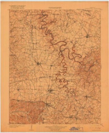
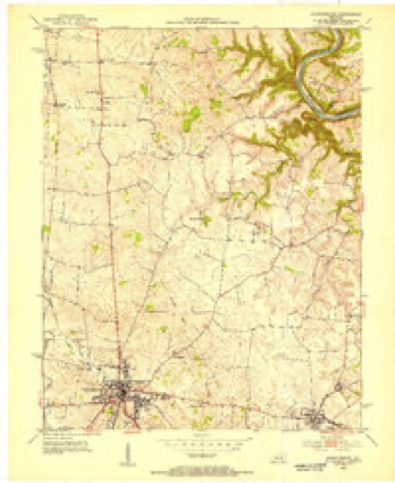
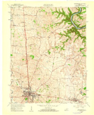
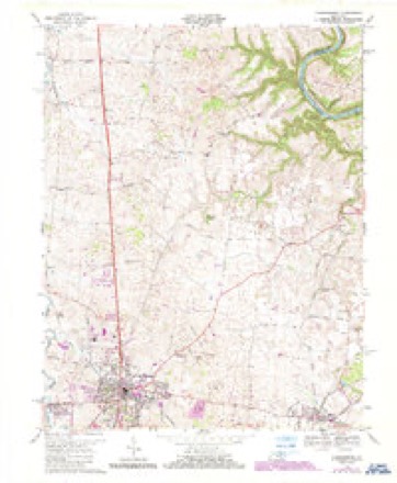
8 surveys from 14 printed sheetsMatched by testing this settlement's coordinate against the published boundary of every sheet in the United States Geological Survey's historical collection. Each opens the scanned sheet at the Survey.
- 1905 USGS Harrodsburg quadrangle1:125000, 3 printings
- 1952 USGS Harrodsburg quadrangle1:24000
- 1957 USGS Winchester quadrangle1:250000, 3 printings
- 1959 USGS Harrodsburg quadrangle1:24000
- 1960 USGS Winchester quadrangle1:250000
- 1967 USGS Harrodsburg quadrangle1:24000, 3 printings
- 1986 USGS Harrodsburg quadrangle1:100000
- 1991 USGS Harrodsburg quadrangle1:100000


Photographs
8 of 14 photographs shown, 1940Taken for the Office of War Information and the Farm Security Administration, who photographed the country between 1935 and 1944. Works of United States government photographers, with no known restriction on use. Each opens its catalogue record.
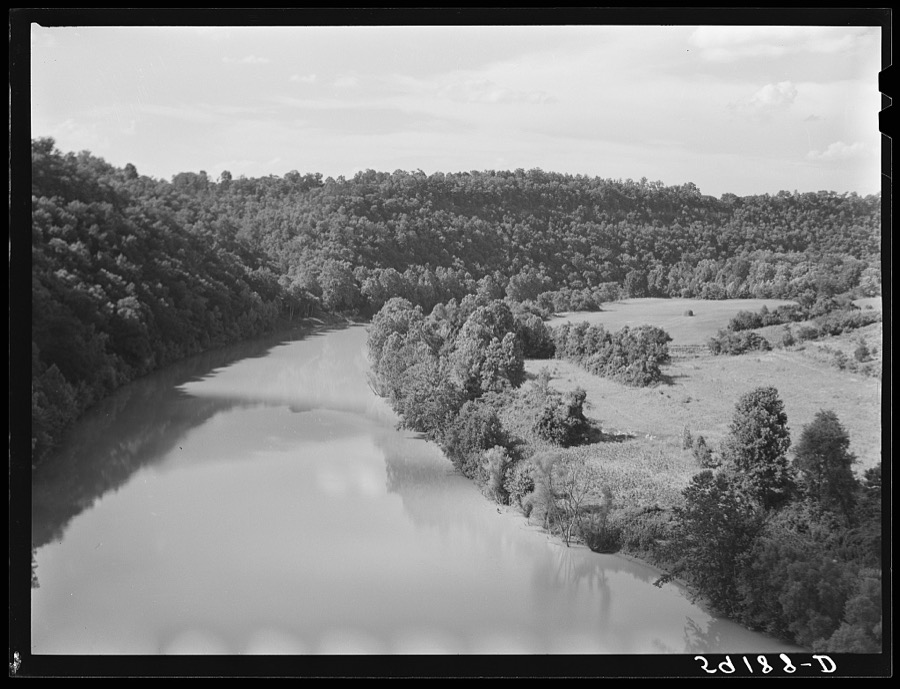
Wolcott, Marion Post, 1940. Library of Congress
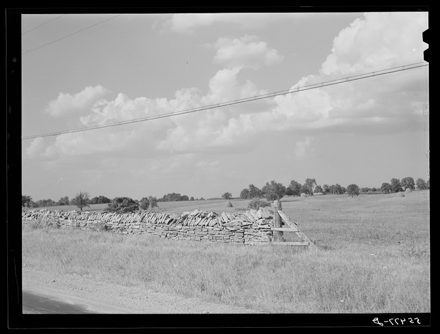
Wolcott, Marion Post, 1940. Library of Congress
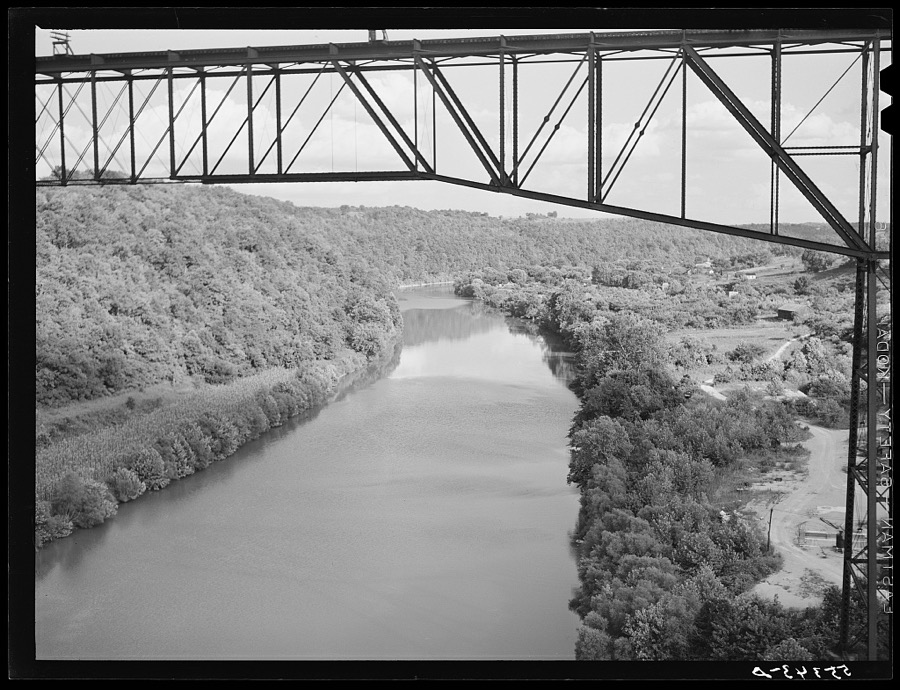
Wolcott, Marion Post, 1940. Library of Congress
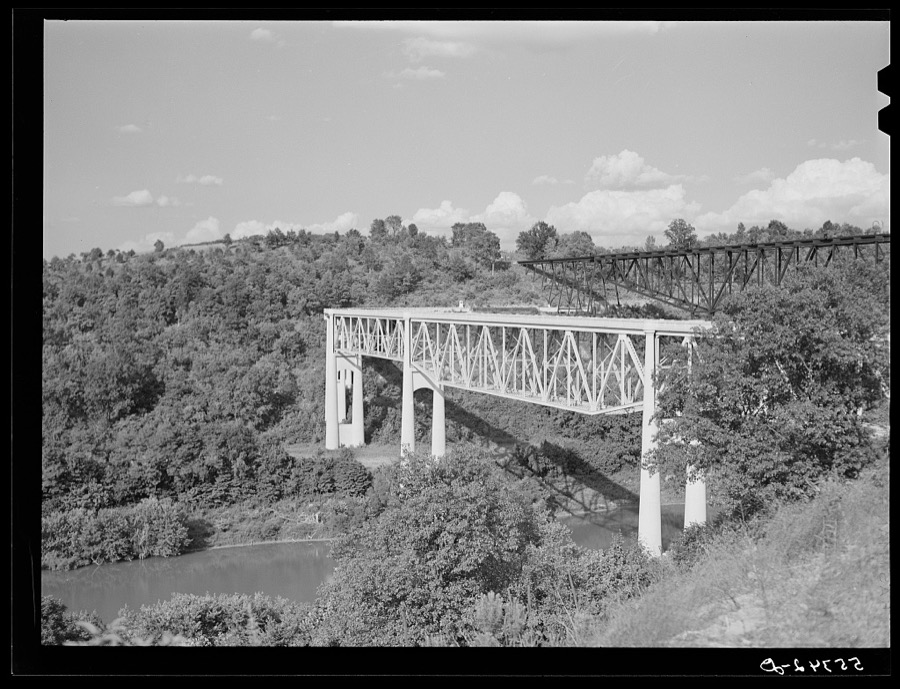
Wolcott, Marion Post, 1940. Library of Congress
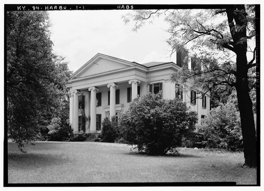
Photographer not recorded. Library of Congress
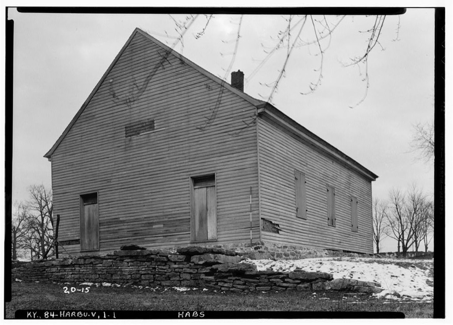
Photographer not recorded. Library of Congress
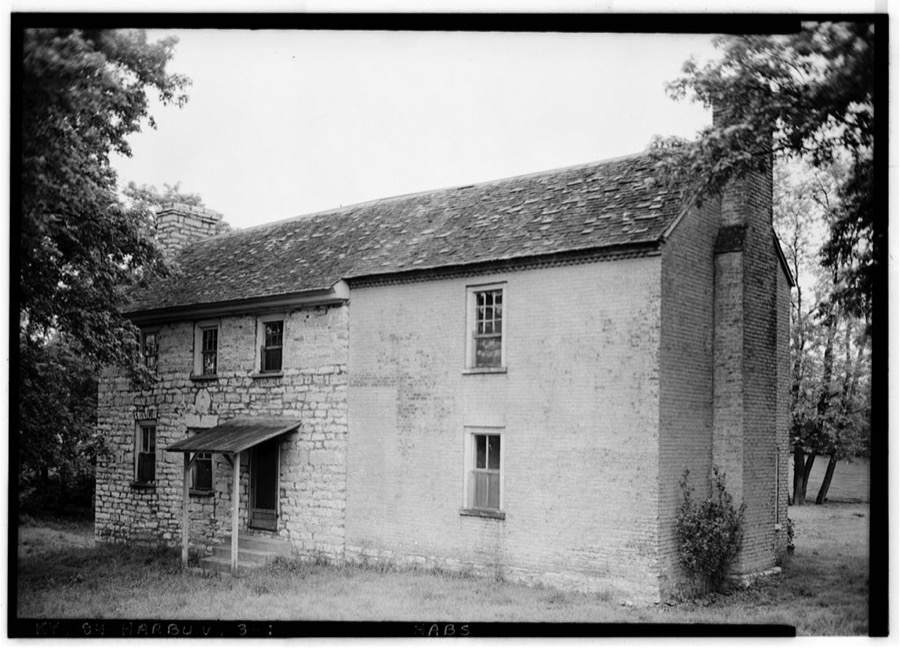
Photographer not recorded. Library of Congress
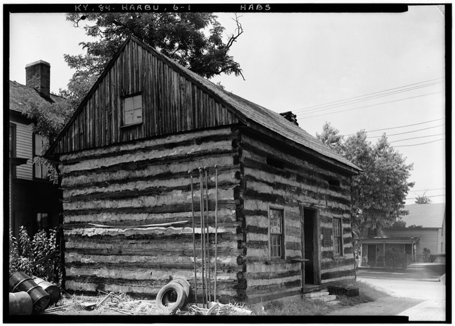
Photographer not recorded. Library of Congress
Every photograph of Mercer County
Fires near this place
1 since 2019Regional context, not property-specific evidence. The federal wildfire occurrence database lists 1 fire within 5 miles of Harrodsburg in 2019, burning about 78 acres in total. None started naturally. None was recorded as arson. Distance is straight-line from the map coordinates, so a fire counted here may appear on a neighbouring settlement's page as well.
| Reported cause | Fires |
|---|---|
| Equipment and vehicle use | 1 |
The most recent of them, most recent first, with the day each was reported and the service that recorded it.
| Date | Cause | Size | Reported by | Name on the report |
|---|---|---|---|---|
| 3 October 2019 | Equipment and vehicle use | 78 acres | Kentucky Division of Forestry | CHINN FIRE |
Settlements close enough to share some of these fires:
Mines and quarries near this place
3 within 5 milesRegional context, not property-specific evidence. The federal mineral resources record lists 3 workings within 5 miles of Harrodsburg: 2 producers, 1 past producer. 2 still produce. What was taken out: Stone, Crushed/Broken. Distance is straight-line from the map coordinates, so a quarry counted here may appear on a neighbouring settlement's page as well.
| Where | Site | Commodity | Status | Recorded |
|---|---|---|---|---|
| Central Rock Co., Inc. | Stone, Crushed/Broken | Producer | ||
| Harrodsburg Quarry | Stone, Crushed/Broken | Producer | ||
| Mercer County Quarry | Stone, Crushed/Broken | Past Producer |
Storms near this place
35 since 1996Regional context, not property-specific evidence. The National Weather Service names Harrodsburg in 35 storm reports between 1996 and 2025: 21 thunderstorm wind, 7 hail, 4 flash flood, 2 flood. The reports record 1 death. Each account below is quoted exactly as the forecast office filed it, from the NOAA Storm Events Database, and each date opens the federal record of that event.
| When | Event | Place named | Harm | What the report says |
|---|---|---|---|---|
| May 2024 | Thunderstorm Wind | Harrodsburg | 1 killed | A National Weather Service damage survey determined that a swath of straight-line winds peaking at 80 to 85 mph occurred along a 12 mile path stretching from|just west of Harrodsburg in Mercer County, to just east of Herrington Lake in|Garrard County. 70 mph winds began in Riverview Estates where|numerous large limbs and trees were downed, along with a few back|porch awnings that were lifted and thrown on top of their|respective roofs. Minor shingle damage was also noted. Farther|east on Scenic Circle, more large tree limbs were downed. Winds|were estimated around 70 mph here. More sporadic damage was noted|eastward through Harrodsburg. ||Sporadic damage to large tree limbs and a few uprooted trees were |noted along Kentucky Route 152 east toward Burgin. More large limbs and |trees were downed in Burgin, with everything laying in a general |ENE direction, along with storm motion. The swath of straight- |line winds continued eastward toward Herrington Lake where wheat |was flattened in random areas across fields. ||The intensity of winds was stronger around Herrington Lake as |larger hardwood trees were uprooted, all laying ENE. The hardest |hit areas were along Chimney Rock Road and a ridge top between |High Bridge Road and Rogers Road where numerous healthy hardwood |trees were uprooted, all laying to the ENE. Winds toward the end |of the swath were more in line with 80 to 85 mph. Structural damage to a storage facility on Kennedy Bridge Road where wind was able to lift and remove large sections of the roof was also noted. ||Unfortunately, a lone tree was downed near the intersection |of Hardin Heights Road and Hardin Heights N Road. The tree fell |onto the corner of a house, killing a female occupant inside. At this point, the swath of wind damage crossed Herrington Lake into northern Garrard County. |
| May 1996 | Thunderstorm Wind | Harrodsburg | $200,000 | no account filed |
| June 1998 | Thunderstorm Wind | Harrodsburg | $20,000 | no account filed |
| May 2004 | Thunderstorm Wind | Harrodsburg | $15,000 | The roof was blown off a barn. Power lines were downed. |
| May 2025 | Thunderstorm Wind | Harrodsburg | - | A tree was blown down along Mackville Road on the west side of Harrodsburg. |
| April 2025 | Flash Flood | Harrodsburg | - | The Salt River was flowing over US 68. |
| January 2023 | Thunderstorm Wind | Harrodsburg | - | Straight-line wind damage to buildings and trees occurred in downtown Harrodsburg. This was outside of the tornado path which moved through western and northern portions of Harrodsburg. |
| November 2022 | Hail | Harrodsburg | - | Quarter size hail was observed in Harrodsburg. |
| December 2021 | Thunderstorm Wind | Harrodsburg | - | Power lines were down across portions of the county. |
| August 2020 | Thunderstorm Wind | Harrodsburg | - | A tree was down on the 2100 block of Danville Road. |
| May 2018 | Flash Flood | Harrodsburg | - | A state official reported water was over the Highway 127 Bypass, south of Harrodsburg. |
| May 2015 | Thunderstorm Wind | Harrodsburg | - | A county official reported trees, power lines and telephone lines down just outside of Harrodsburg. |
| July 2015 | Flash Flood | Harrodsburg | - | A public report was received of flash flooding at the intersection of Highway 68 and Highway 152. |
| August 2014 | Flood | Harrodsburg | - | Heavy rains estimated at 2 to 3 inches fell over a two hour period across eastern Mercer County. Several roads in Harrodsburg were briefly flooded, including Mackville Road. |
| July 2013 | Flood | Harrodsburg | - | The Lexington media reported water covering portions of U.S. Highway 68 just southwest of Harrodsburg. |
| September 2011 | Heavy Rain | Harrodsburg | - | Several inches of rain just before and around midnight brought minor street flooding to Harrodsburg. Local law enforcement reported that 4 to 6 inches of water covered a portion of Morris Drive. A portion of Commercial Drive was also restricted to one lane. Between 11 and 12 pm on September 11th, a Kentucky Mesonet rain gauge located 3 miles north of Harrodsburg recorded 1.47 inches of rain. |
| September 2010 | Thunderstorm Wind | Harrodsburg | - | A tree was blown down just south of the city. |
| January 2006 | Thunderstorm Wind | Harrodsburg | - | Trees and power lines were downed. |
| May 2006 | Thunderstorm Wind | Harrodsburg | - | Trees were downed. |
| July 2004 | Thunderstorm Wind | Harrodsburg | - | A tree was downed across a county highway. Large limbs were also downed. |
| November 2002 | Thunderstorm Wind | Harrodsburg | - | Power lines were downed and a telephone pole was snapped. |
| April 2007 | Hail | Harrodsburg | - | no account filed |
| June 2005 | Thunderstorm Wind | Harrodsburg | - | no account filed |
| July 2005 | Thunderstorm Wind | Harrodsburg | - | no account filed |
| May 2004 | Hail | Harrodsburg | - | no account filed |
| April 2002 | Hail | Harrodsburg | - | no account filed |
| March 2002 | Hail | Harrodsburg | - | no account filed |
| March 2002 | Hail | Harrodsburg | - | no account filed |
| May 2002 | Hail | Harrodsburg | - | no account filed |
| July 2001 | Thunderstorm Wind | Harrodsburg | - | no account filed |
| October 2001 | Thunderstorm Wind | Harrodsburg | - | no account filed |
| May 1998 | Thunderstorm Wind | Harrodsburg | - | no account filed |
| May 1997 | Flash Flood | Harrodsburg | - | no account filed |
| July 1996 | Thunderstorm Wind | Harrodsburg | - | no account filed |
| May 1996 | Thunderstorm Wind | Harrodsburg | - | no account filed |
Nearest settlements
The eight closest, with where each one stands in the county. Distances are straight-line, computed from the Geographic Names Information System coordinates.
| Map | Place | Distance | Sheets |
|---|---|---|---|
| Stringtown | 1.3 miles | 14 | |
| Riverview Estates | 1.4 miles | 14 | |
| Wilson Station (historical) | 2.5 miles | 14 | |
| McGary Station (historical) | 3.0 miles | 14 | |
| Oakland (historical) | 3.4 miles | 11 | |
| Perryville Tollgate (historical) | 3.7 miles | 14 | |
| Curry (historical) | 3.9 miles | 14 | |
| Burgin | 4.1 miles | 14 |
Elsewhere
Matched on this settlement's Geographic Names Information System number rather than its name, so it cannot be a different place of the same name in another state.
| Wikipedia article on Harrodsburg | An encyclopaedic summary. Its text is share-alike, so it is linked here rather than copied. |
| Wikidata item Q947405 | The structured record the population and elevation above come from. Public domain (CC0). |
Provenance
This settlement is recorded in the Geographic Names Information System as feature 493831. The sheet list is computed by point-in-boundary test against the United States Geological Survey's historical topographic inventory. Both are works of the United States government and carry no copyright under 17 U.S.C. 105.
Wildfire. Short, Karen C. 2022. Spatial wildfire occurrence data for the United States, 1992-2020 [FPA_FOD_20221014]. 6th Edition. Fort Collins, CO: Forest Service Research Data Archive. https://doi.org/10.2737/RDS-2013-0009.6 Collected with United States Government funding and usable without additional permissions or fees.
Mines and quarries. USGS Mineral Resources Data System (MRDS) https://mrdata.usgs.gov/mrds/ A work of the United States government, no copyright under 17 U.S.C. 105.
Storms. NOAA National Centers for Environmental Information, Storm Events Database https://www.ncei.noaa.gov/stormevents/ A work of the United States government, no copyright under 17 U.S.C. 105. Narratives are quoted verbatim from the National Weather Service report and are not edited or summarised.