 Block
From the record
70 National Register listings published here, 1 of them a National Historic Landmark.
Sources: the National Register database, National Park Service
38 topographic sheets and 8 fire insurance atlases across 1 place.
70 National Register listings published here, 1 of them a National Historic Landmark.
Sources: the National Register database, National Park Service
Taken for the Office of War Information and the Farm Security Administration, who photographed the country between 1935 and 1944. Works of United States government photographers, with no known restriction on use. Each opens its catalogue record.
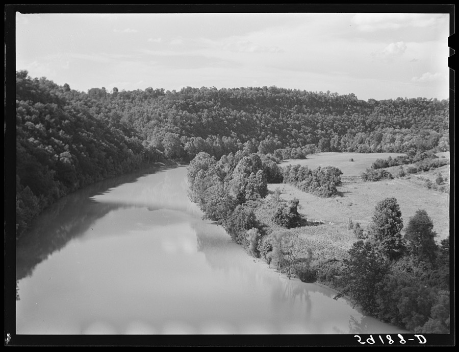
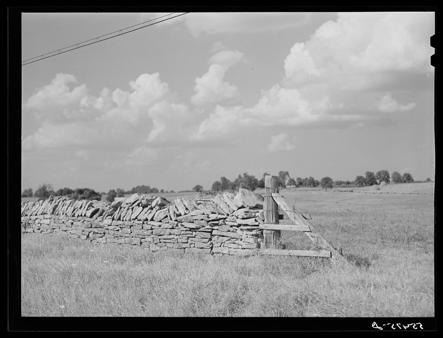
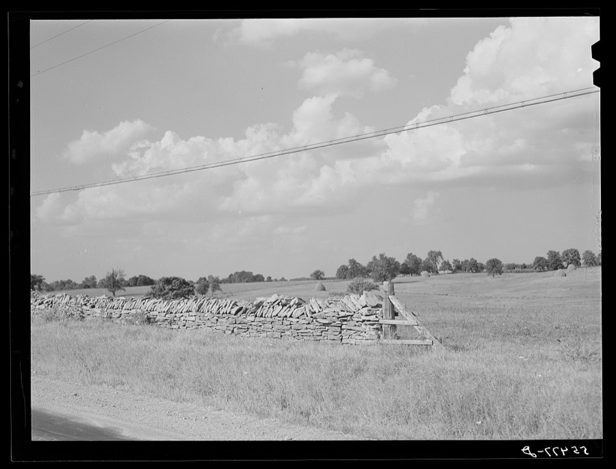
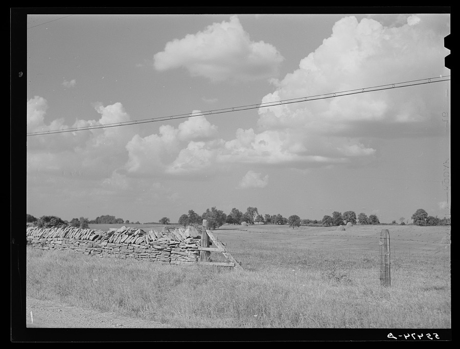
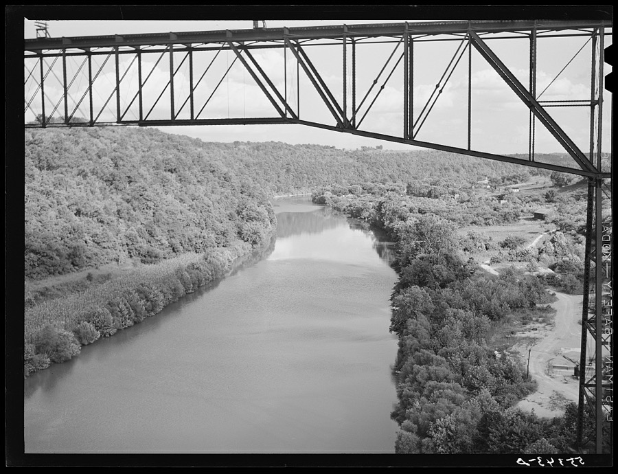
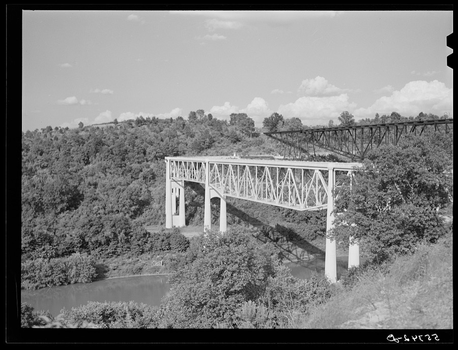
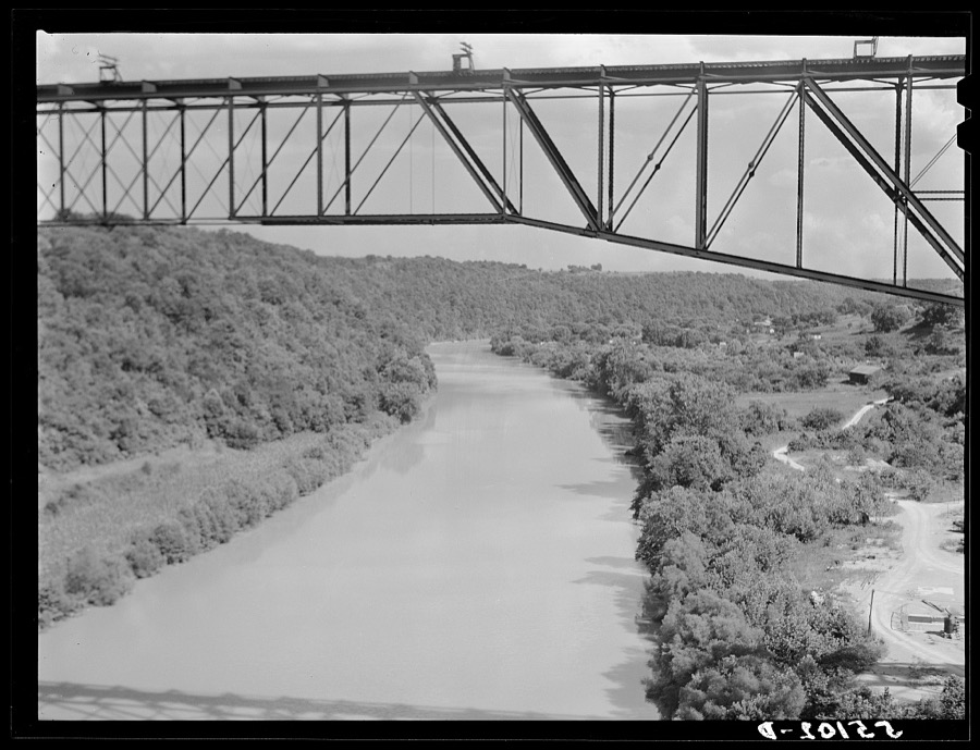
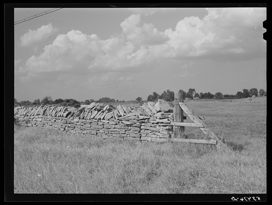
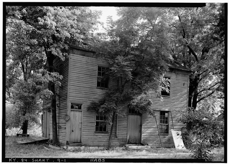
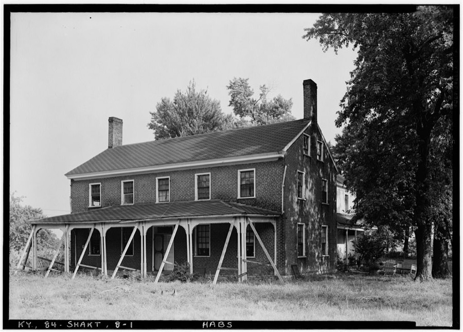
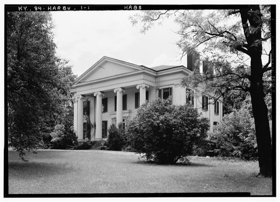
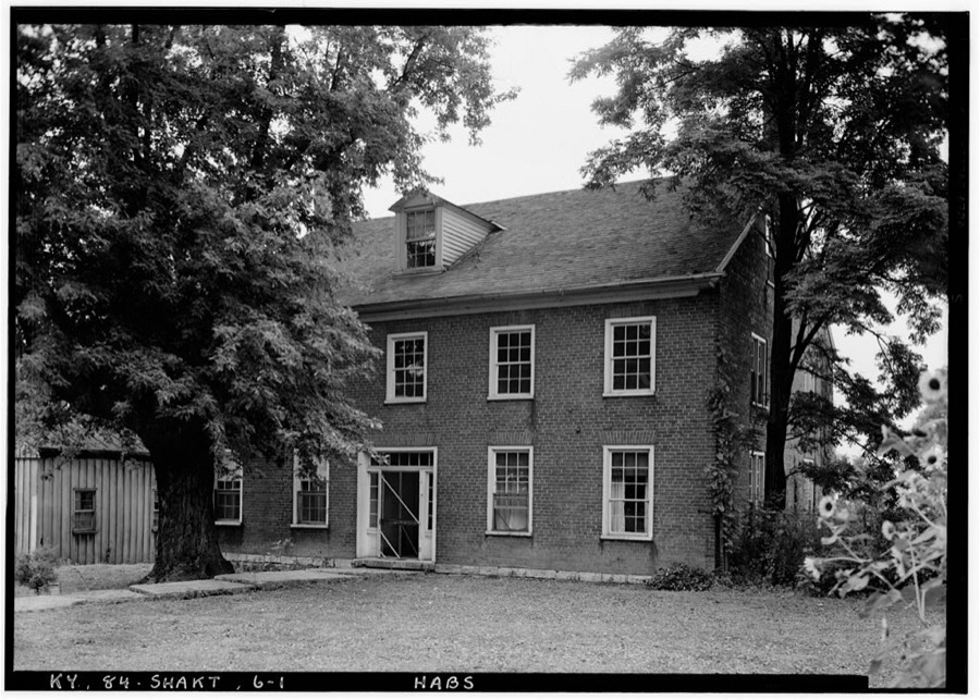
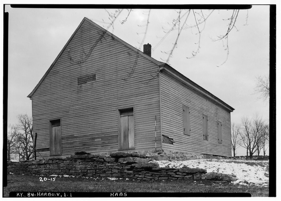
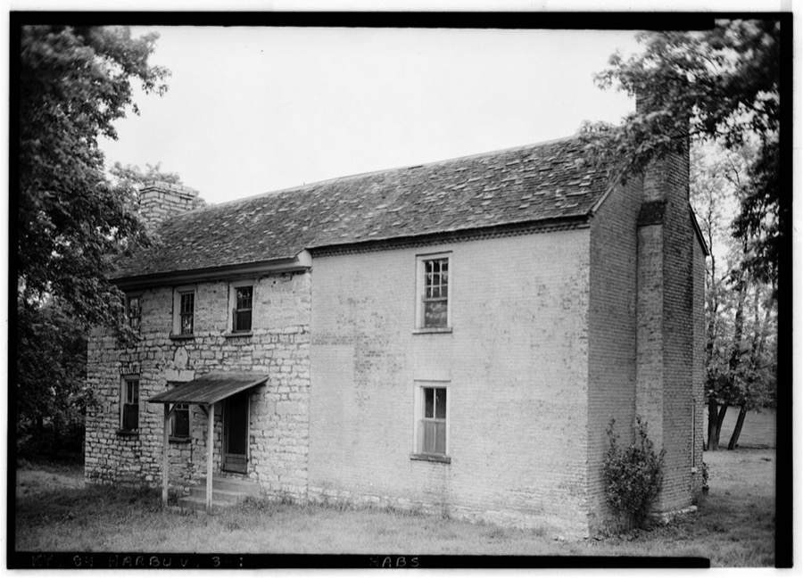
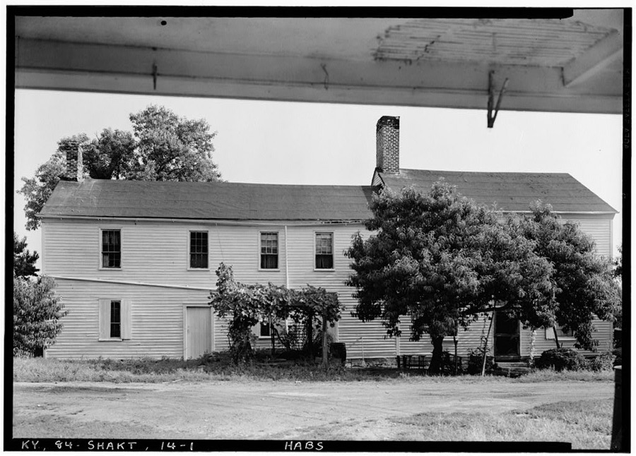
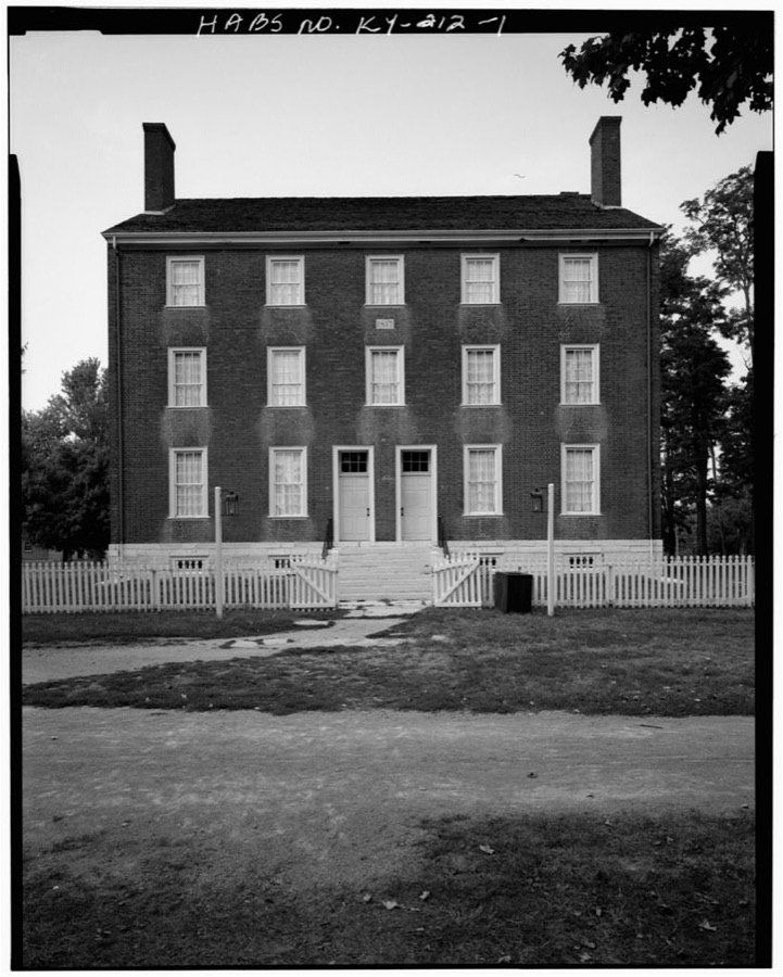
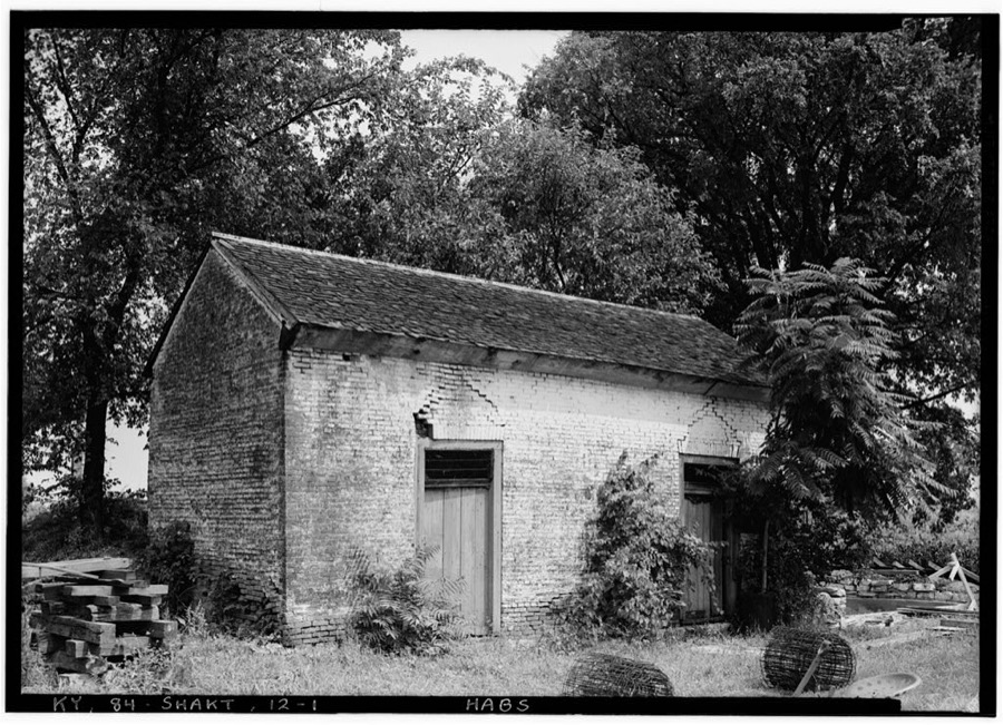
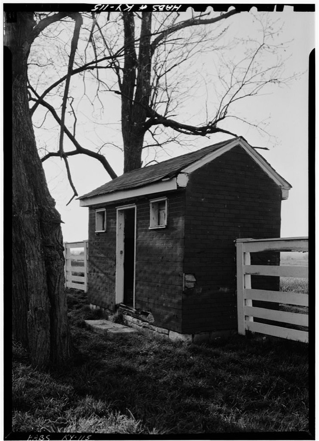
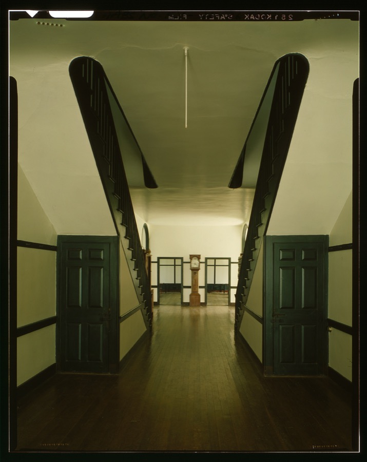
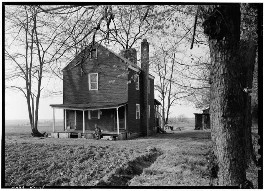
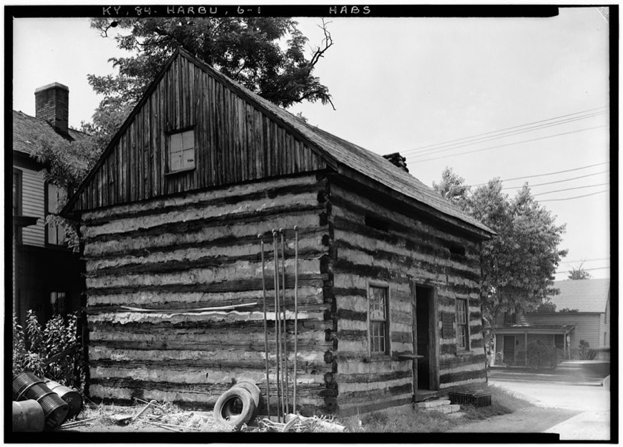
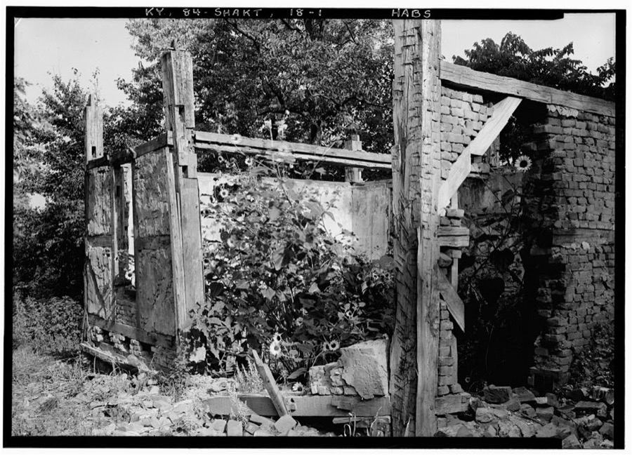
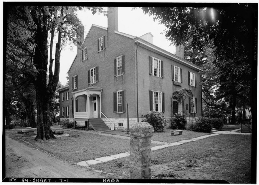
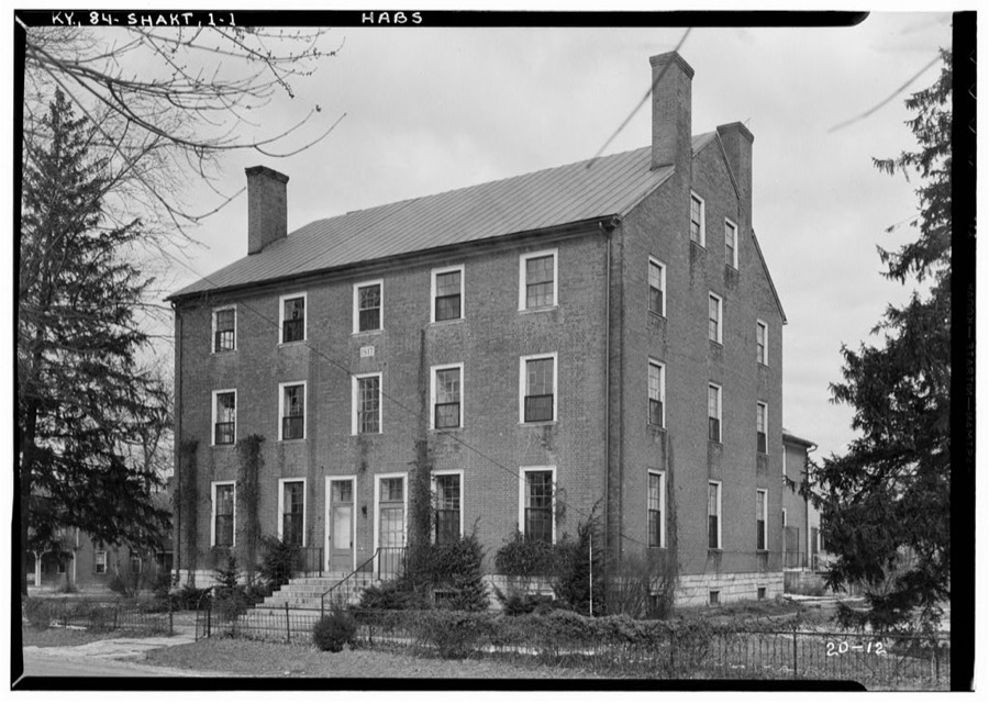
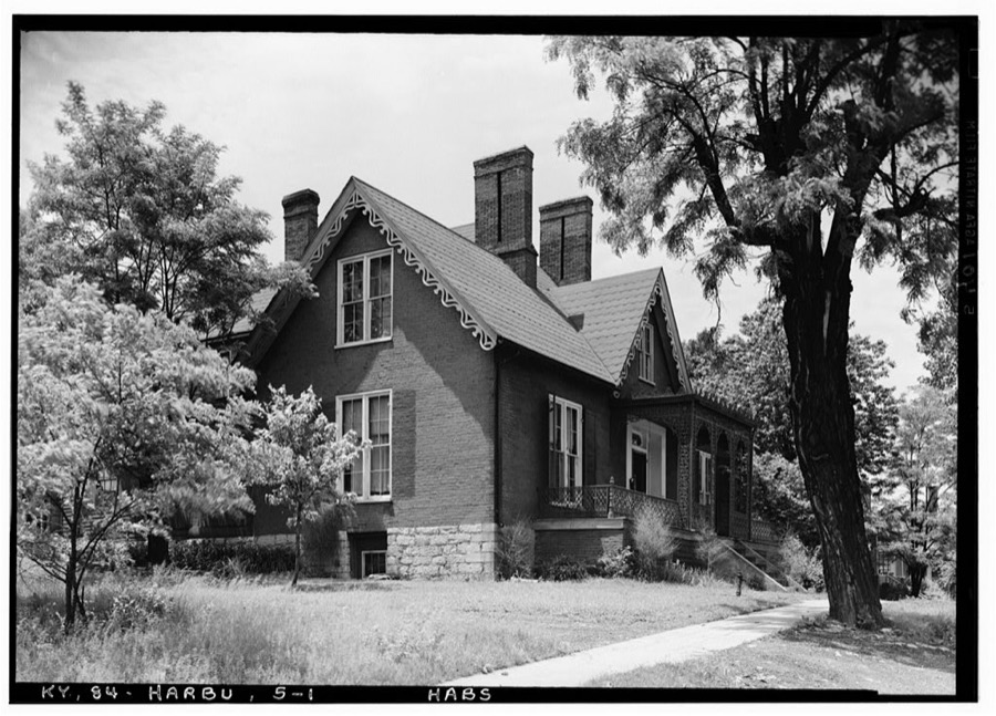
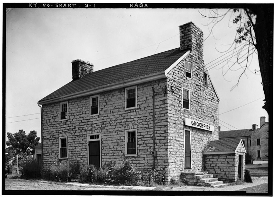
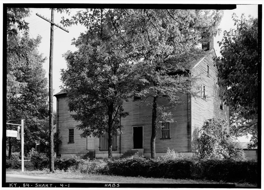
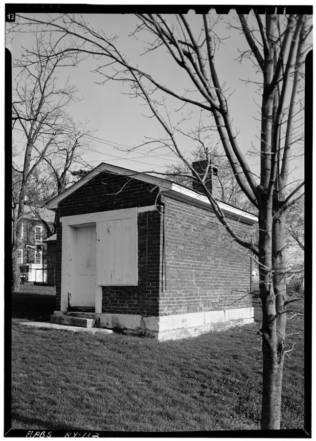
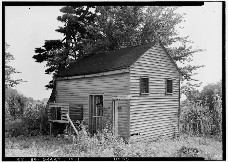
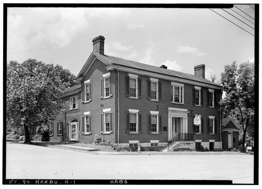
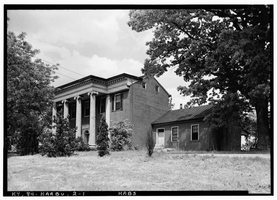
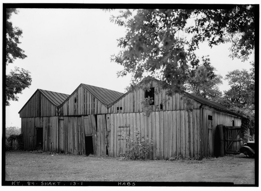
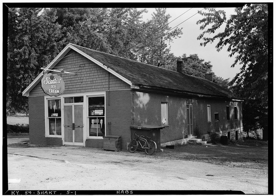
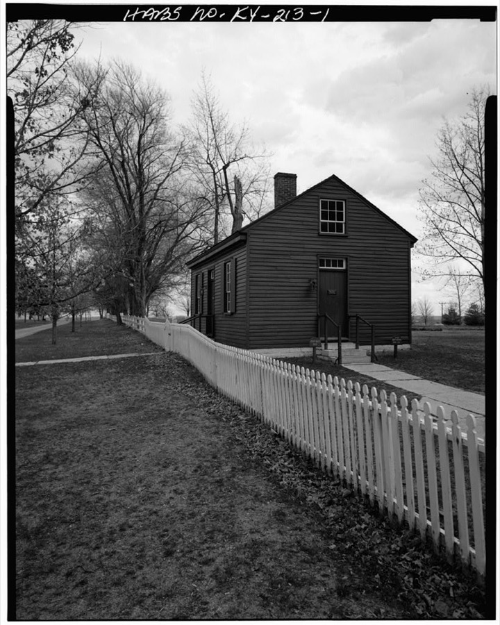
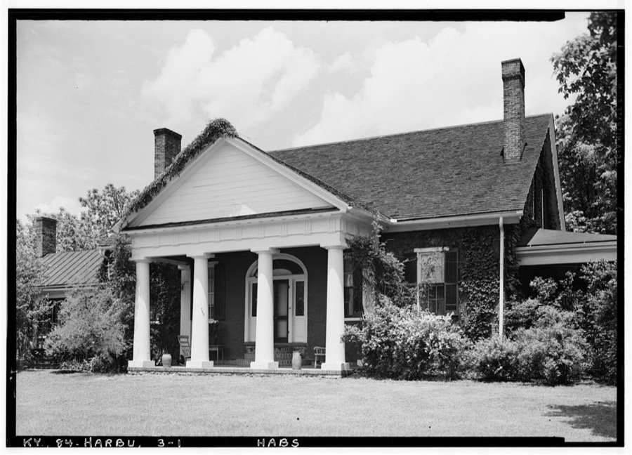
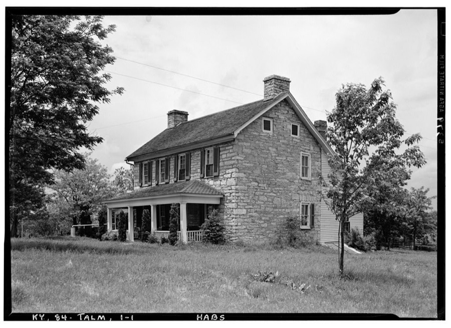
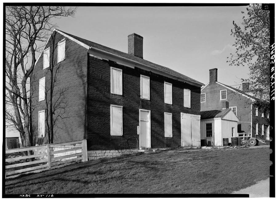
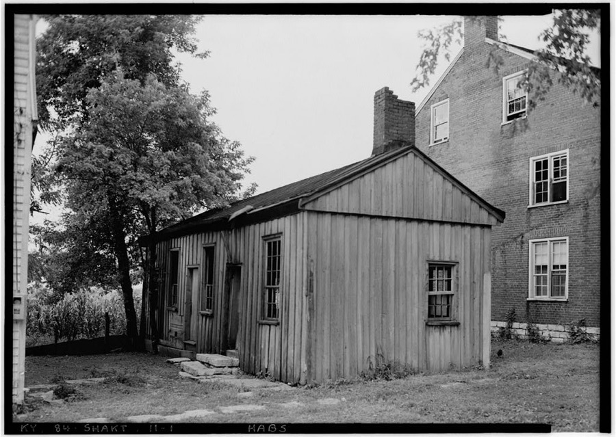
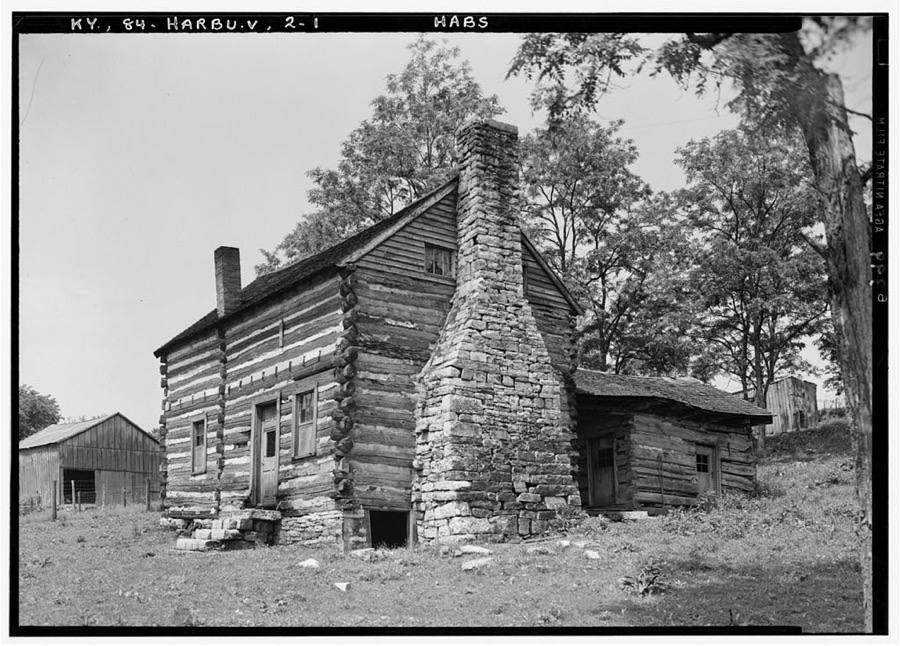
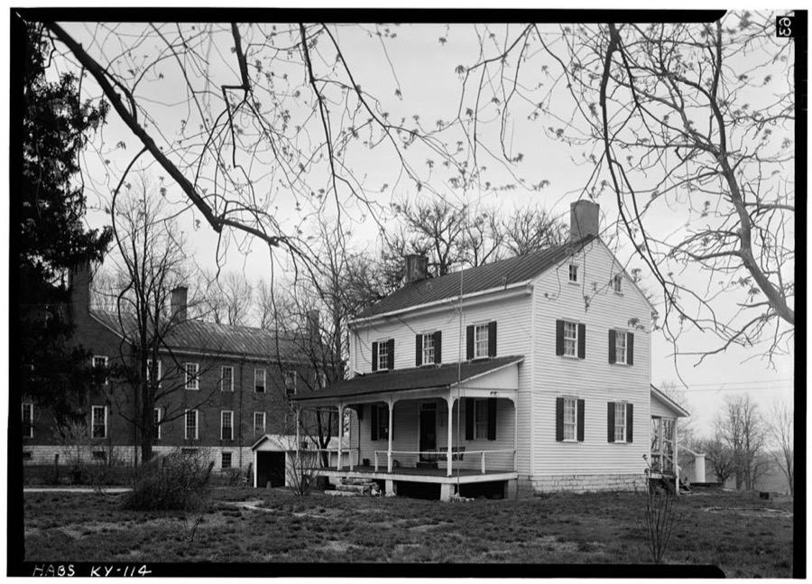
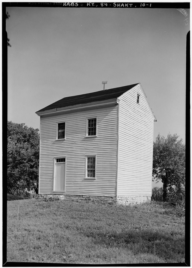
Every property in this county listed on the National Register of Historic Places, with the year it was listed and the federal nomination document.
| Photograph | Property | Type | Listed | Reference |
|---|---|---|---|---|
| Adams House | building | 1989 | 88003357 | |
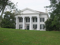 | Aspen Hall | building | 1989 | 88003372 |
| Baldin House | building | 1989 | 88003349 | |
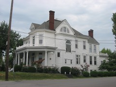 | Beaumont Avenue Residential District | district | 1989 | 88003359 |
| Boise House | building | 1989 | 88003356 | |
| Bonta House | building | 1989 | 88003354 | |
| Col. John Bowman House | building | 1989 | 88003353 | |
| Burford Hill | building | 1989 | 88003367 | |
| Burris House | building | 1989 | 88003362 | |
| Nathaniel Burrus House | building | 1984 | 84001840 | |
| Ambrose Burton House | building | 1983 | 83002826 | |
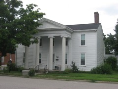 | Cardwellton | building | 1977 | 77000636 |
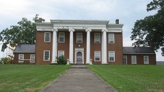 | Clay Hill | building | 1976 | 76000925 |
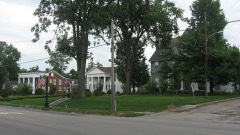 | College Street Historic District | district | 1979 | 79001023 |
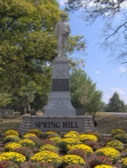 | Confederate Monument in Harrodsburg | object | 1997 | 97000677 |
| Cunningham House | building | 1989 | 88003361 | |
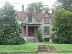 | Daniel Curry House | building | 1989 | 88003383 |
| Benjamin Daniel House | building | 1983 | 83002827 | |
| Daughters' College | building | 1980 | 80001656 | |
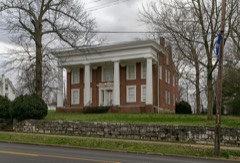 | Doricham | building | 1976 | 76000926 |
| Peter Dunn House | building | 1989 | 88003358 | |
| Dutch Reformed Church | building | 1973 | 73000819 | |
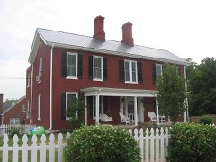 | Elms, The | building | 1989 | 88003370 |
| Fairview | building | 1984 | 84001883 | |
| Forsythe-Shewmaker House | building | 2012 | 12000048 | |
| Froman-McCann House | building | 2004 | 02000344 | |
| Greek Revival Houses of Mercer County: Lynnwood, Walnut Hall, Glenworth | district | 1978 | 78001388 | |
| Greystone | building | 1989 | 88003382 | |
| Floyd Gritton House | building | 1989 | 88003363 | |
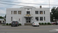 | Harrodsburg Armory | building | 2000 | 00000281 |
| Harrodsburg Commercial District | district | 1980 | 80001657 | |
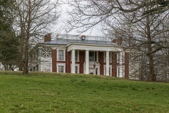 | Honeysuckle Hill | building | 1983 | 83002828 |
| Moses Jones House | building | 1979 | 79001024 | |
| Lexington and Cane Run Historic District | district | 2011 | 11000795 | |
| Lexington, Harrodsburg, and Perryville Turnpike Rural Historic District | district | 2003 | 03000087 | |
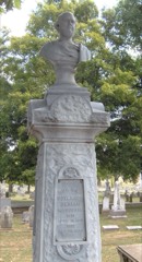 | Beriah Magoffin Monument | object | 1997 | 97000676 |
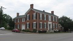 | Matheny-Taylor House | building | 1989 | 88003378 |
| McAfee Farm Historic District | district | 1989 | 88003360 | |
| George McAfee House | building | 1983 | 83002829 | |
| James McAfee House | building | 1983 | 83002830 | |
| McCoun, Joseph-Sharp, D.S., House | building | 2005 | 05000788 | |
| McGee House | building | 1989 | 88003364 | |
| John McGee House | building | 1983 | 83002831 | |
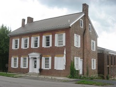 | Mercer County Jailer's Residence | building | 1989 | 88003375 |
| Millwood | building | 1976 | 76000928 | |
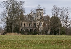 | Moreland House | building | 1989 | 88003371 |
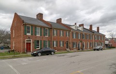 | Morgan Row | building | 1973 | 73000820 |
| Joseph Morgan House | building | 1990 | 88003365 | |
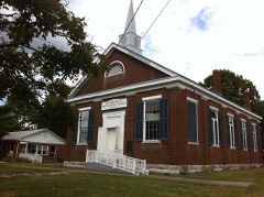 | New Providence Presbyterian Church | building | 1975 | 75000806 |
| North Main Street Historic District | district | 2011 | 11000796 | |
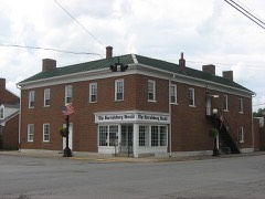 | Benjamin Passmore Hotel | building | 1990 | 88003374 |
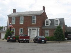 | Benjamin Passmore House | building | 1989 | 88003376 |
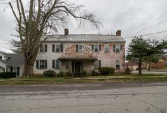 | George Passmore House | building | 1989 | 88003379 |
| Pioneer Memorial State Park | district | 1989 | 88003377 | |
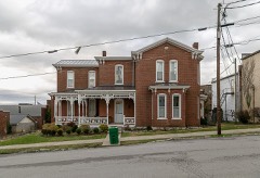 | Dr. A. D. Price House | building | 1989 | 88003373 |
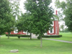 | Roach-Ison House | building | 1989 | 88003352 |
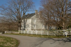 | Shaker West Lot Farm | building | 1983 | 83002832 |
| Shakertown at Pleasant Hill Historic District | district | 1971 | 71000353 | |
| Shawnee Springs | building | 1976 | 76000927 | |
| Smith-Williams House | building | 1989 | 88003355 | |
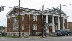 | St. Peters AME Church | building | 1989 | 88003381 |
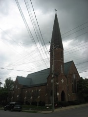 | St. Philips Episcopal Church | building | 1978 | 78001389 |
| Stone Quarters on Burgin Road | building | 1983 | 83002833 | |
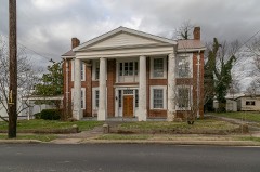 | Sutfield House | building | 1989 | 88003368 |
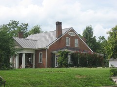 | Sutfield-Thompson House | building | 1977 | 77000637 |
| Capt. Samuel Taylor House | building | 1977 | 77000638 | |
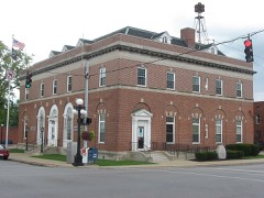 | US Post Office-Harrodsburg | building | 1989 | 89000019 |
| Wildwood | building | 1989 | 88003366 | |
| Williams House | building | 1990 | 88003351 | |
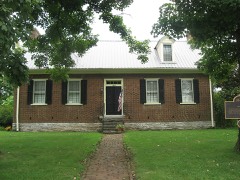 | Archibald Woods House | building | 1983 | 83002834 |
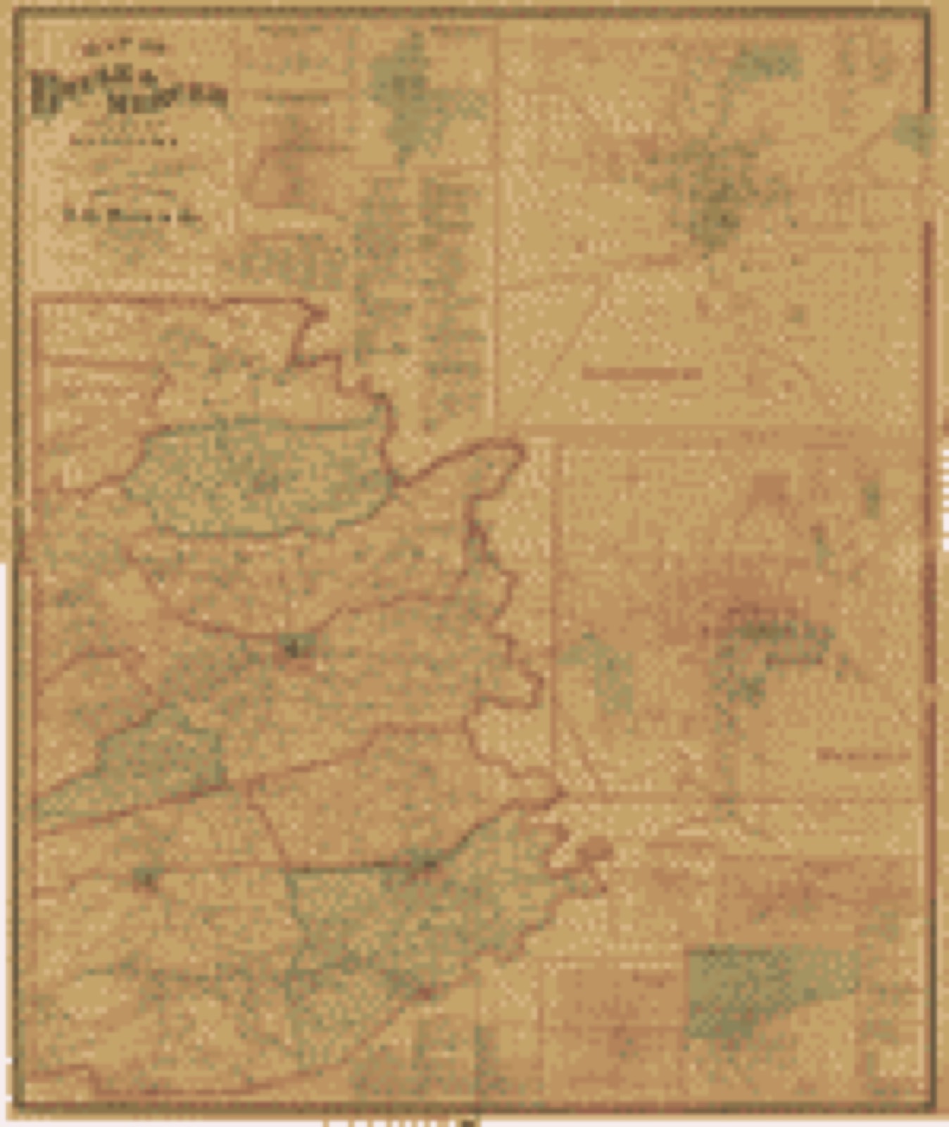
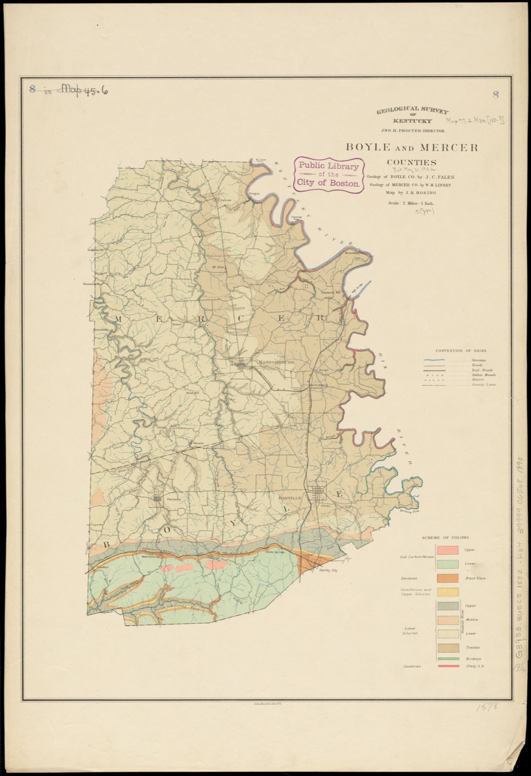
Drawn when these were printed as single large sheets: the town seen from the air, and the county divided into its farms with every owner named. Each opens the original at the Library of Congress.
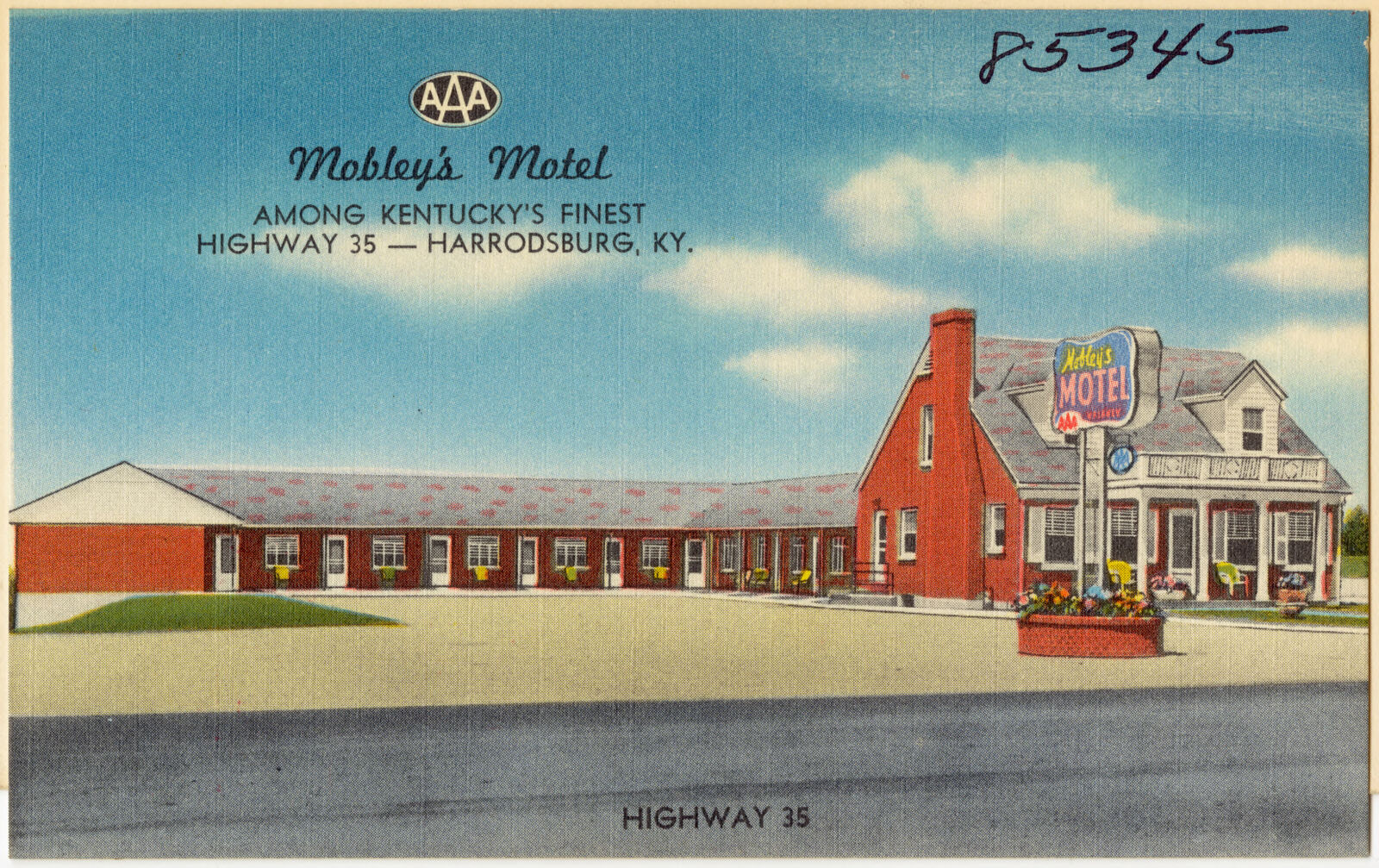
Selected from the Digital Public Library of America's 2 image records catalogued for this county. Every one shown here carries a public-domain status or a licence that permits reuse on a site that carries advertising; non-commercial, share-alike and restricted images are excluded. The selection is spread across the county's towns (at most eight per town), so no single institution's bulk upload crowds out the rest. Each opens the holding library's record, and the complete set at the Digital Public Library of America is one click away.
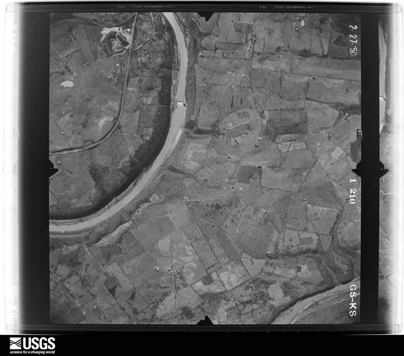
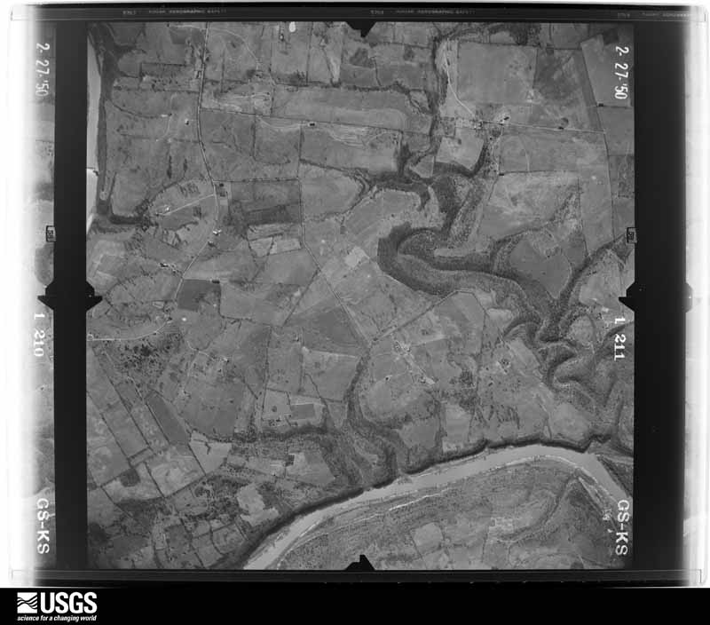
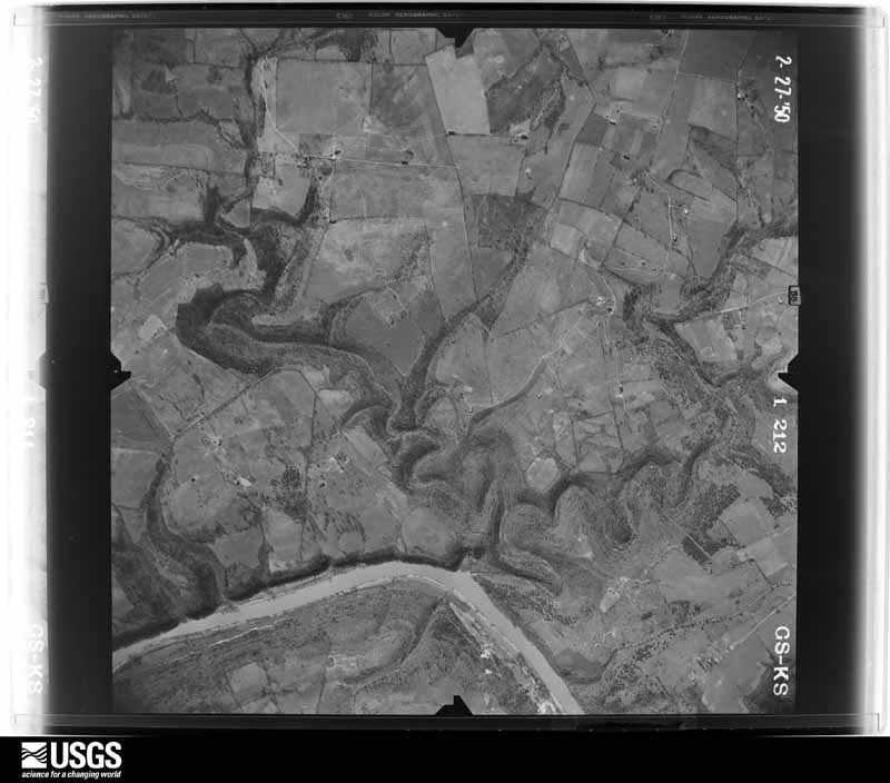
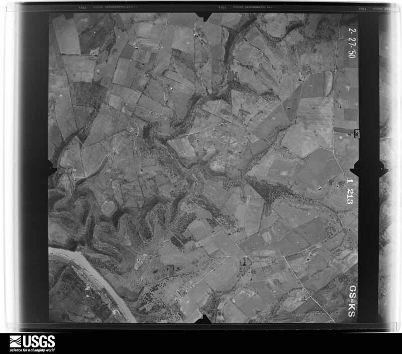
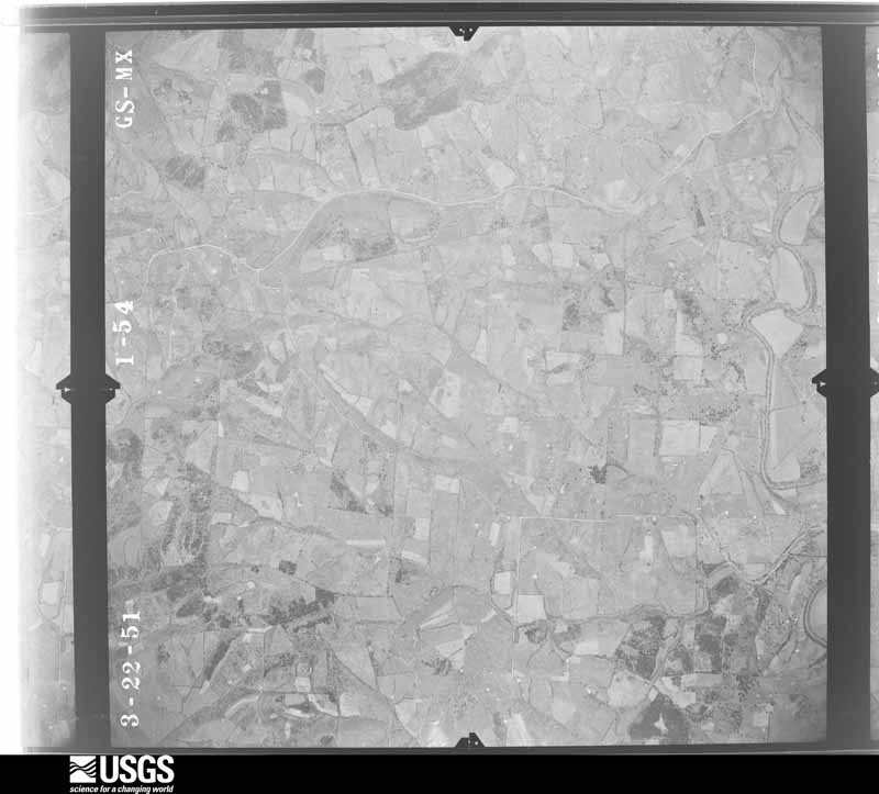
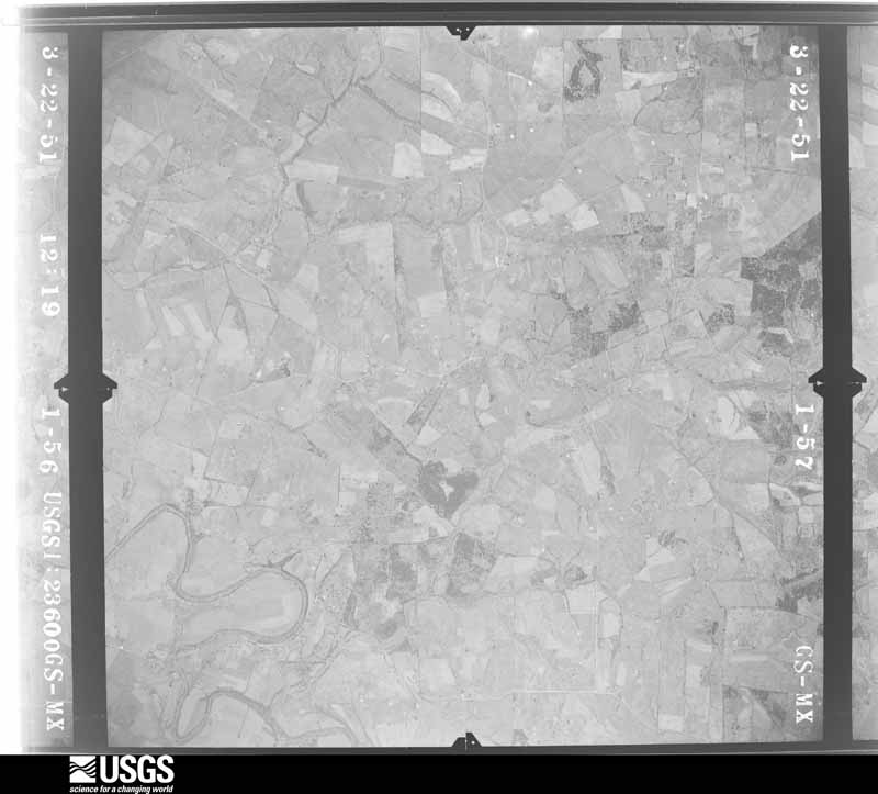
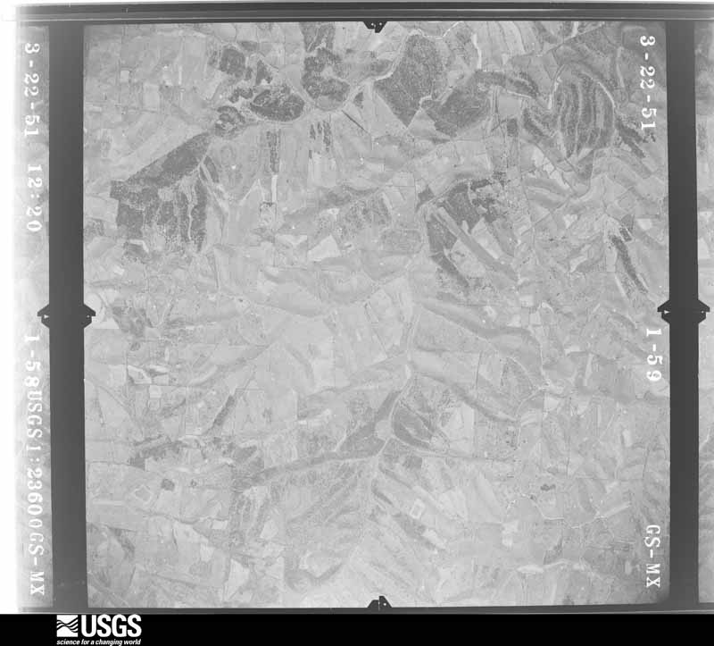
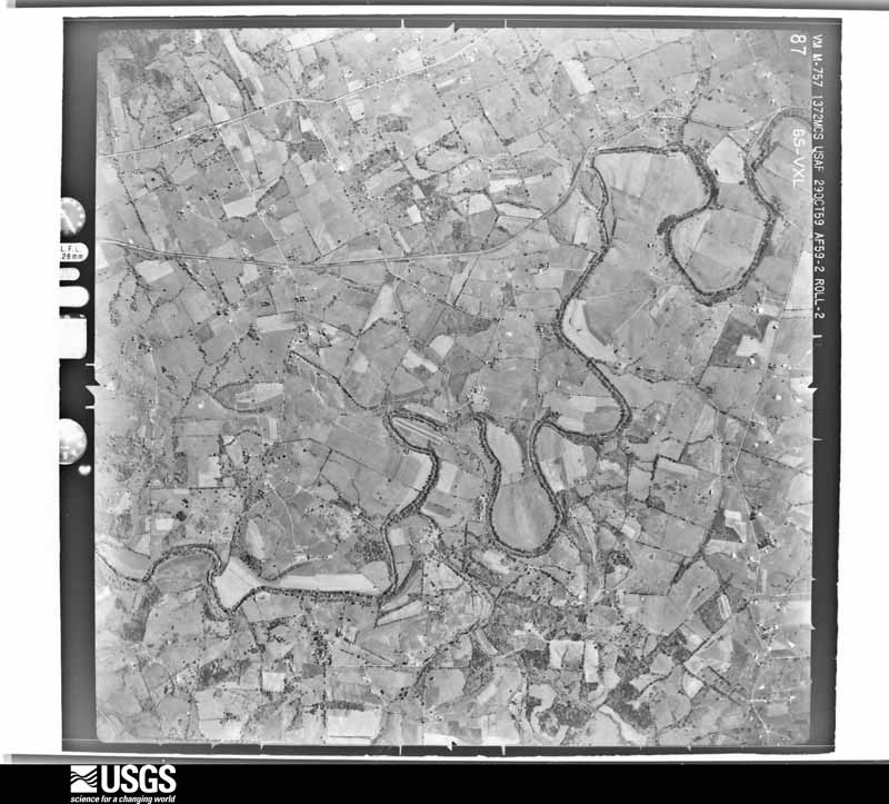
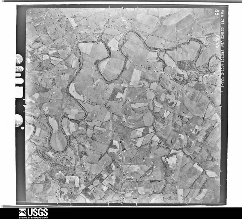
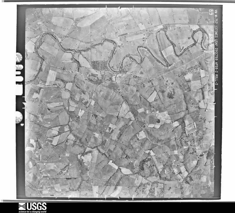
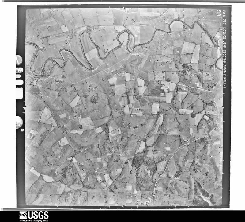
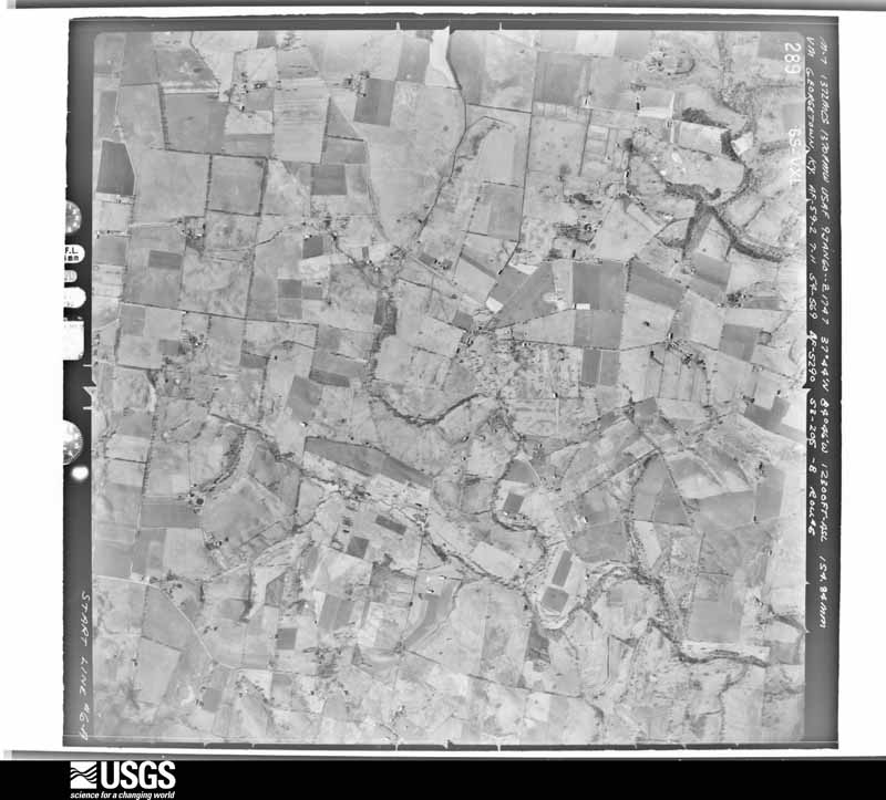
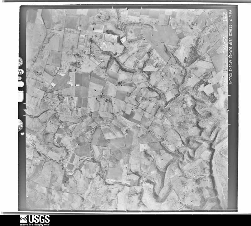
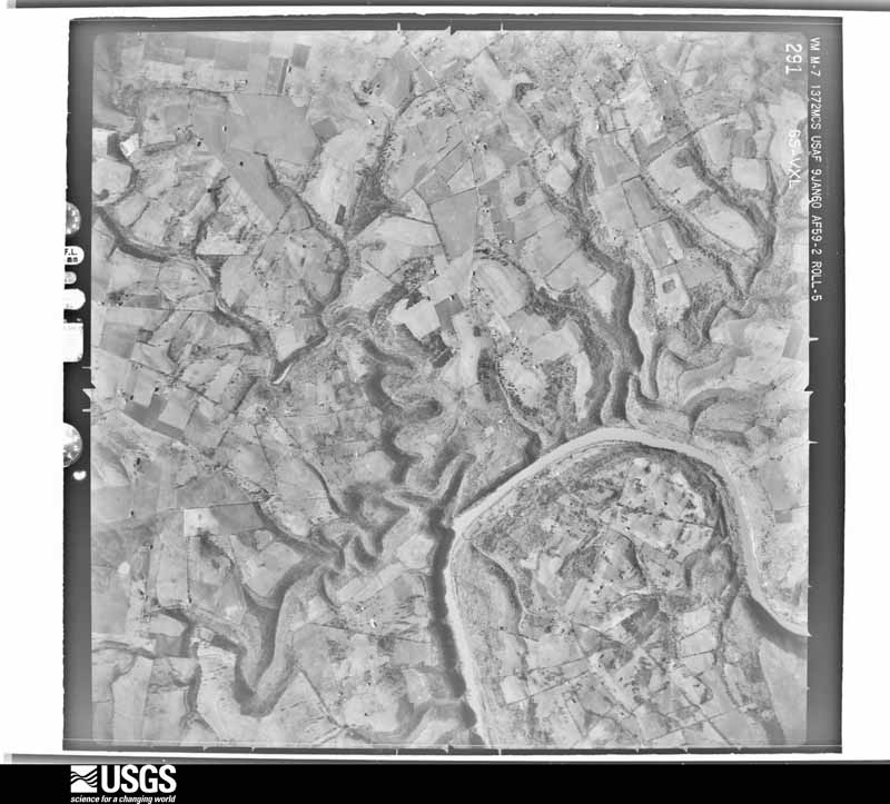
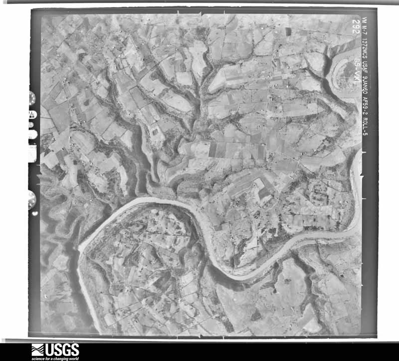
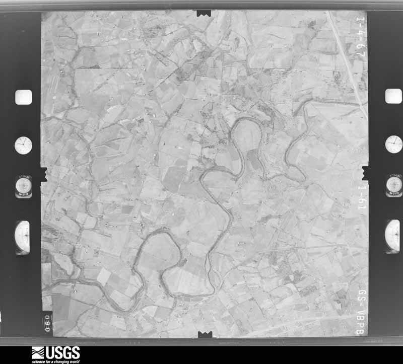
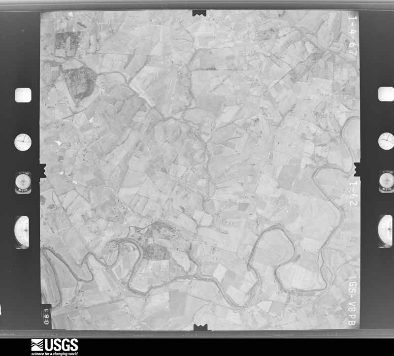
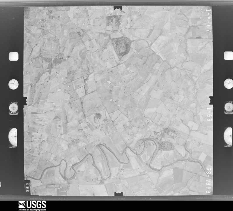
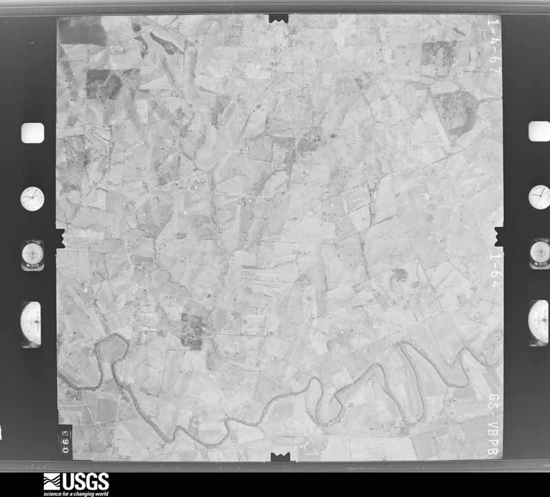
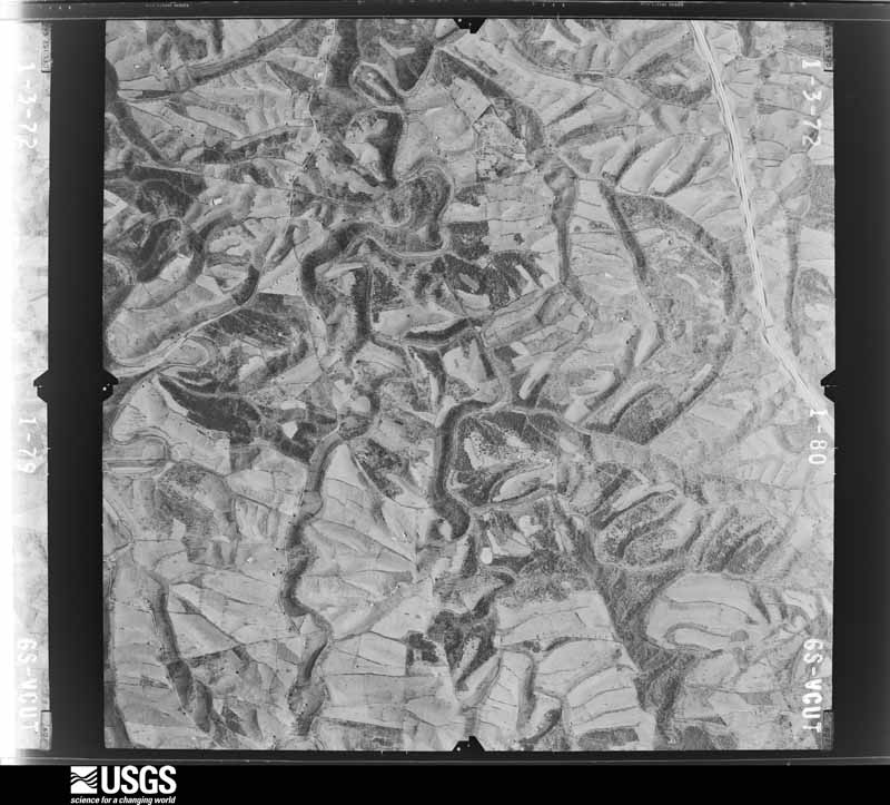
Flown by the U.S. Geological Survey between 1937 and 1989, the Aerial Photo Single Frames collection is the definitive mid-century view of the land: fields, roads and rivers as the camera saw them. The Survey holds 623 frames inside the rectangle that bounds this county; the 26 frames below were taken over the county itself, chosen across the decades of flights (at most four a year from that rectangle), so one flight cannot crowd out the rest. The full set is free to browse and download at EarthExplorer under the dataset Aerial Photo Single Frames.

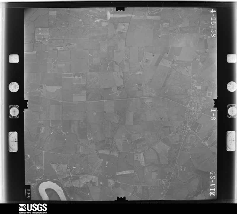
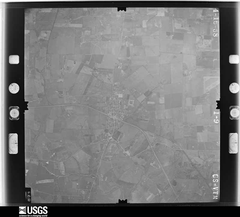
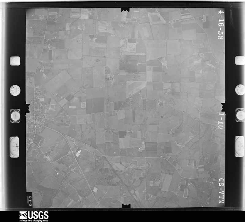
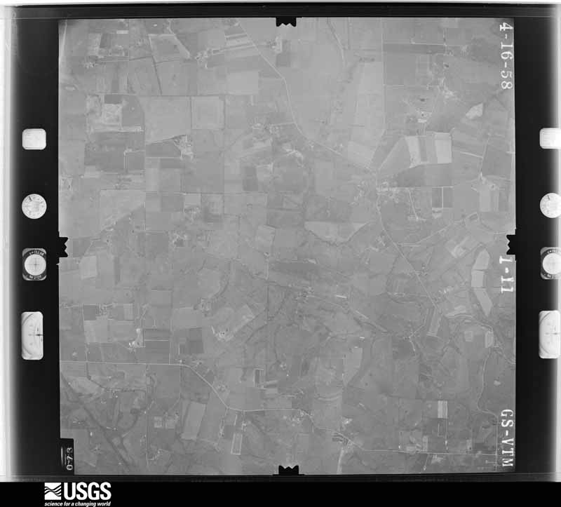

The thermometers that kept this county's weather, and the gages that measured the flow of its streams, as the federal records hold them. The extremes below are measured values from those records, not estimates.
Who lived here in 1950, one enumeration district at a time, as the Census Bureau described each district. Each row opens its official National Archives result, with Population Schedules and ED Maps available there.
Every wildfire the federal occurrence database records inside this county: 3 of them, burning about 113 acres. None started naturally and 1 was recorded as arson. Each settlement page carries the fires within five miles of it.
| Reported cause | Fires |
|---|---|
| Arson/incendiarism | 1 |
| Equipment and vehicle use | 1 |
| Railroad operations and maintenance | 1 |
The five largest, by the area the report gives. One of them was set deliberately.
| Date | Cause | Size | Reported by | Name on the report |
|---|---|---|---|---|
| 3 October 2019 | Equipment and vehicle use | 78 acres | Kentucky Division of Forestry | CHINN FIRE |
| 27 June 2012 | Railroad operations and maintenance | 30 acres | Kentucky Division of Forestry | OLD SAWMIL |
| 15 September 1999 | Arson/incendiarism | 5.0 acres | Kentucky Division of Forestry | not named |
Every settlement page carries the fires within five miles of it - see the settlement index below.
The NOAA Storm Events Database holds 197 reports for this county, causing 2 deaths, 17 injuries and about $23,183,500 in recorded property damage. Each settlement page carries the reports that name it.
| Kind of event | Reports |
|---|---|
| Thunderstorm Wind | 127 |
| Hail | 26 |
| Flash Flood | 17 |
| Tornado | 15 |
| Flood | 8 |
| Lightning | 3 |
| Heavy Rain | 1 |
The most serious of them, by death, then injury, then recorded damage. The accounts are quoted exactly as the forecast office filed them.
| When | Event | Place named | Harm | What the report says |
|---|---|---|---|---|
| May 2003 | Tornado (F2) | Bohon | 1 killed, 8 hurt, $15,000,000 | The tornado formed northwest of Harrodsburg as an F1 tornado. It moved east northeast and strengthened to an F2 as it moved to near Bohon Road. Between Bohon Road and US 127, high F1 to low F2 damage was observed. The tornado lifted east of highway 127 with no additional damage. A 29 year old female drowned when her mobile home on Bohon Road was blown about one hundred yards toward the Salt River. Forty homes in the area were damaged, and of these, 12 were destroyed. |
| May 2024 | Thunderstorm Wind | Harrodsburg | 1 killed | A National Weather Service damage survey determined that a swath of straight-line winds peaking at 80 to 85 mph occurred along a 12 mile path stretching from|just west of Harrodsburg in Mercer County, to just east of Herrington Lake in|Garrard County. 70 mph winds began in Riverview Estates where|numerous large limbs and trees were downed, along with a few back|porch awnings that were lifted and thrown on top of their|respective roofs. Minor shingle damage was also noted. Farther|east on Scenic Circle, more large tree limbs were downed. Winds|were estimated around 70 mph here. More sporadic damage was noted|eastward through Harrodsburg. ||Sporadic damage to large tree limbs and a few uprooted trees were |noted along Kentucky Route 152 east toward Burgin. More large limbs and |trees were downed in Burgin, with everything laying in a general |ENE direction, along with storm motion. The swath of straight- |line winds continued eastward toward Herrington Lake where wheat |was flattened in random areas across fields. ||The intensity of winds was stronger around Herrington Lake as |larger hardwood trees were uprooted, all laying ENE. The hardest |hit areas were along Chimney Rock Road and a ridge top between |High Bridge Road and Rogers Road where numerous healthy hardwood |trees were uprooted, all laying to the ENE. Winds toward the end |of the swath were more in line with 80 to 85 mph. Structural damage to a storage facility on Kennedy Bridge Road where wind was able to lift and remove large sections of the roof was also noted. ||Unfortunately, a lone tree was downed near the intersection |of Hardin Heights Road and Hardin Heights N Road. The tree fell |onto the corner of a house, killing a female occupant inside. At this point, the swath of wind damage crossed Herrington Lake into northern Garrard County. |
| May 1995 | Tornado (F2) | Salvisa | 8 hurt, $5,000,000 | no account filed |
| July 1980 | Tornado (F1) | not stated | 1 hurt, $250,000 | no account filed |
| February 2008 | Tornado (EF1) | Stringtown | $1,000,000 | The tornado touched down on the east side of Harrodsburg and collapsed three walls of a warehouse. Near the intersection of KY 152 and Mac Court extensive tree damage occurred. Metal sheeting was found in trees. A large tree fell on a house and power lines, and that same house had its garage destroyed. A small branch was driven into the side of a car and a chimney was knocked down from a house. Near KY 152 and Montrose Street the roof of a factory was blown in and extensive tree damage occurred. An elementary school suffered extensive roof and ceiling damage. |
| November 1993 | Tornado (F1) | not stated | $500,000 | A small tornado touched down three miles south of Harrodsburg. Six mobile homes were damaged and one car. Trees and power lines in the area were also blown down. |
| April 1974 | Tornado (F2) | not stated | $250,000 | no account filed |
| April 1972 | Tornado (F2) | not stated | $250,000 | no account filed |
| January 2008 | Thunderstorm Wind | Shakertown | $200,000 | Thunderstorm winds caused heavy damage to two cooling tower facilities at the Kentucky Utility plant. Trailers at the facility were damaged, along with damage to a roof over an open paved area. |
| May 1996 | Thunderstorm Wind | Harrodsburg | $200,000 | no account filed |
| May 2010 | Flood | Salvisa | $100,000 | Six to seven inches of rain fell over Mercer county from May 1-2. This caused major flooding on the Kentucky River that lasted many days before receding. |
| July 2006 | Lightning | Salvisa | $50,000 | A barn was struck by lightning and burned. |
| June 1998 | Lightning | Salvisa | $50,000 | Lightning struck an auto body shop causing major damage. |
| February 1993 | Thunderstorm Wind | not stated | $50,000 | Trees and power lines were blown down and several out buildings were damaged. |
| April 2000 | Tornado (F1) | Dugansville | $37,500 | Two vortices were spotted near Tablow on the Washington/Mercer County line. The tornadoes destroyed a barn, and damaged a house and a garage near Tablow. One half mile east of Tablow along Highway 926, a house deck was destroyed, a large tree was uprooted, and several other trees were damaged. In the town of Dugansville, a house received roof and chimney damage. Several barns were damaged there, and there was also some tree damage. |
| March 2006 | Thunderstorm Wind | Countywide | $35,000 | Numerous trees were blown down across the county. Power lines were downed in Cornishville. A barn was blown on to Oregon Road in the northeast part of the county. |
| March 2017 | Thunderstorm Wind | Mayo | $30,000 | Thunderstorm winds blew down several trees along and south of State Road 1160 (Talmage Mayo Rd) west of U.S. Highway 127. A large barn was blown down near the intersection of these two roads. |
| November 2002 | Thunderstorm Wind | Burgin | $30,000 | Numerous trees and phone poles were blown down near Highway 152 and Kennedy Bridge Road. A roof was ripped off a house. |
| May 1990 | Tornado (F1) | not stated | $25,000 | no account filed |
| June 1998 | Thunderstorm Wind | Harrodsburg | $20,000 | no account filed |
| March 1997 | Thunderstorm Wind | Kirkwood | $20,000 | no account filed |
| May 2004 | Thunderstorm Wind | Harrodsburg | $15,000 | The roof was blown off a barn. Power lines were downed. |
| May 2016 | Thunderstorm Wind | Salvisa | $10,000 | A broadcast meteorologist relayed a report of a barn down in Salvisa due to severe thunderstorm winds. |
| June 2013 | Thunderstorm Wind | Mc Afee | $10,000 | The Mercer County County Road Department reported power lines associated with 5 downed power poles partially blocking U.S Highway 127. |
| April 2002 | Thunderstorm Wind | Countywide | $10,000 | Trees were blown down at Shakertown and Salvisa. The roof was blown off a barn near Salvisa. |
| May 2014 | Thunderstorm Wind | Stringtown | $5,000 | Local media reported minor roof damage at an auto parts store. |
| July 2012 | Thunderstorm Wind | Salvisa | $5,000 | The public reported that a 175 foot steel tower used for amateur radio antennas was toppled by high winds on Bondville Road. |
| April 2000 | Thunderstorm Wind | Terrapin | $5,000 | Unspecified major damage was reported just north of Terrapin on Highway 1160. |
| January 1999 | Thunderstorm Wind | Countywide | $5,000 | Roof blown off building, trees down |
| May 1998 | Tornado (F0) | Salvisa | $5,000 | DES reported a weak F0 tornado cut a narrow path of 2 miles along Gilbert's Creek damaging 2 storage buildings but 125 trees were uprooted. Resulting debris blocked off most of Oregon Road from US 127 to the Kentucky River where the tornado lifted. |
| May 1998 | Thunderstorm Wind | Terrapin | $5,000 | no account filed |
| June 2007 | Lightning | Salvisa | $3,000 | Lightning destroyed a small outbuilding. |
| June 2013 | Thunderstorm Wind | Stringtown | $2,000 | A spotter reported several power lines down in Harrodsburg. |
| January 2013 | Thunderstorm Wind | Harrodsburg Arpt | $2,000 | A mobile home was substantially damaged when a portion of its roof was removed. |
| August 2013 | Flash Flood | Stringtown | $2,000 | A creek overflowed its banks in Harrodsburg and covered State Highway 127 with two feet of running water. A car became stalled near this overpass. |
| December 2005 | Thunderstorm Wind | Burgin | $2,000 | Fifteen to twenty small trees were downed. Some roof damage was reported. |
| April 2026 | Thunderstorm Wind | Vanarsdell | - | The roof of a barn was blown off and thrown 100 feet near where Cole Lane becomes Cole Road. |
| February 2025 | Hail | Burgin | - | Multiple reports of between ping pong and golf ball size hail near Burgin. |
| February 2025 | Hail | Rose Hill | - | Quarter size hail reported near Cornishville. |
| May 2025 | Thunderstorm Wind | Rose Hill | - | A tree was blown down along Mackville Road near Oakland Lane. |
| May 2025 | Thunderstorm Wind | Harrodsburg | - | A tree was blown down along Mackville Road on the west side of Harrodsburg. |
| May 2025 | Tornado (EF1) | Burgin | - | The National Weather Service completed a storm survey and|determined that an EF1, 100 mph tornado occurred just north of|Burgin in Mercer County Friday morning, May 30th, 2025. Damage was first|observed along Handy Lane where several trees had been topped. The damage continued along Handy Lane where a|house had some outbuilding damage and a garage door was blown in.| Some healthy trees also had extensive very large branches|snapped. Maximum wind speeds along Handy Lane were estimated to|be at 100 mph, EF1 strength.||The tornado continued across Shakertown Road and damage |was observed along Ison Lane where trees were uprooted and a barn |roof was blown off. The tornado continued across farmland before |additional damage was observed to trees with large branches |snapped along Hogue Lane. Estimated maximum wind speeds along |this portion was EF1, 95 mph strength. No additional damage was |observed beyond Hogue Lane. |
| May 2025 | Thunderstorm Wind | Burgin | - | A tree was blown down onto powerlines on the 400 block of Bailey Pike. |
| May 2025 | Thunderstorm Wind | East Bushtown | - | A tree was blown down on Normans Camp Road. |
| April 2025 | Flash Flood | Harrodsburg | - | The Salt River was flowing over US 68. |
| May 2024 | Thunderstorm Wind | Nevin | - | Trees were downed by strong winds near Salvisa. |
| April 2024 | Thunderstorm Wind | Salvisa | - | The National Weather Service in Louisville confirmed straight-line winds in Salvisa. There was a bunch of cedar and maple tree damage off of Old Louisville Road on the north side of Salvisa. Three homes experienced shingle, gutter and roof damage. ||A barndominium had the most significant damage with a large section of the roof thrown several hundred yards to the east southeast. Wind speeds were estimated between 75 and 80 mph, with a width of the damage of up to a half mile sporadically. |
| August 2024 | Thunderstorm Wind | Harrodsburg Arpt | - | Large tree limbs fell down across Warwick Road near McCroskey Pike. |
| January 2023 | Tornado (EF1) | Rose Hill | - | The National Weather Service in Louisville conducted a storm damage survey in Mercer County for storms that rolled through during the mid-morning hours on January 12th. The survey found sporadic topping and twisting of trees on 165 Hunter Drive as well as 1111 Oakland Lane, where the tornado initially touched down. The damage was consistent with 70-75 mph wind gusts with a width of 80 yards. ||The tornado continued downstream to a farm on the south side of Cornishville Road. It had sporadic tree damage including snapping, topping, and twisting of some softwood trees. It then destroyed an older barn, throwing roofing from the barn up to 200 yards downwind. The winds were between 75 to 85 mph during this portion of the tornado path.||The tornado increased in intensity at 1966 Cornishville Road, causing significant roof and gutter damage to two homes. Several trees were snapped and twisted. A large, older barn sustained significant roof and side panel damage. The debris from the roofs of two houses along with the barn was thrown towards the north, east, and southeasterly directions. A few pieces from the roof of the house were impaled in the ground. Winds in this area were between 95 to 100 mph with a width of 75 yards.||The tornado became more intermittent as it moved off to the east northeast. There was sporadic minor tree damage and two flipped sets of bleachers on the west side of Kenneth D. King Middle School near the tennis courts. Winds that struck the bleachers were around 75 mph. The tornado then lifted before hitting the school. |
| January 2023 | Thunderstorm Wind | Harrodsburg | - | Straight-line wind damage to buildings and trees occurred in downtown Harrodsburg. This was outside of the tornado path which moved through western and northern portions of Harrodsburg. |
| June 2023 | Thunderstorm Wind | Bohon | - | A tree fell and blocked Cornishville Road. |
| July 2023 | Thunderstorm Wind | East Bushtown | - | Trees were blown down on Normans Camp Road. |
| May 2022 | Hail | Harrodsburg Arpt | - | Hail of up to quarter size in diameter was observed north of Harrodsburg. |
| May 2022 | Hail | Burgin | - | Golf ball-sized hail was observed near the Burgin community in eastern Mercer County. |
| May 2022 | Hail | Mc Afee | - | Baseball sized hail was observed northeast of Harrodsburg in eastern Mercer County. |
| July 2022 | Thunderstorm Wind | Shakertown | - | Trees were down along Highway 68 near the Jessamine County line. |
| November 2022 | Hail | Harrodsburg | - | Quarter size hail was observed in Harrodsburg. |
| July 2021 | Flash Flood | Burgin | - | Highway 33 and Pleasant Hill Drive were flooded near Burgin. Flash flooding was also reported along college street near Harrodsburg. |
| July 2021 | Thunderstorm Wind | Salvisa | - | A tree fell over a road near Salvisa. |
| June 2021 | Thunderstorm Wind | Salvisa | - | A tree fell down. |
The Survey's mineral resources record lists 4 workings inside this county. 2 still produce and 2 are closed or unrecorded. Each settlement page carries the workings within five miles of it.
| Commodity | Workings |
|---|---|
| Stone, Crushed/Broken | 3 |
| Fluorine-Fluorite | 1 |
| Barium-Barite | 1 |
The least common of them first, because a county's hundredth gravel pit says nothing its first ten did not.
| Where | Site | Commodity | Status | Recorded |
|---|---|---|---|---|
| Chinn Mine | Fluorine-Fluorite, Barium-Barite | Past Producer | Barite, Fluorite | |
| Central Rock Co., Inc. | Stone, Crushed/Broken | Producer | ||
| Harrodsburg Quarry | Stone, Crushed/Broken | Producer | ||
| Mercer County Quarry | Stone, Crushed/Broken | Past Producer |
Named settlements recorded in the Geographic Names Information System, each with the topographic sheets covering it. Villages, hamlets and abandoned places alike. Each is shown with the nearest named watercourse or landform and the survey quadrangle it falls on. The 1 place that was also surveyed for fire insurance comes first, with the number of atlases and photographs held for them.
Harrodsburg census division · 40330 · On East Fork Town Creek · Harrodsburg quadrangle
14 sheets, 1905 to 1991
Fire insurance: 8 atlases
Harrodsburg census division · 40330 · Perryville quadrangle
11 sheets, 1905 to 1991
No longer a settlement
Burgin census division · 40330 · On Spring Branch · Bryantsville quadrangle
13 sheets, 1905 to 1991
No longer a settlement
Salvisa-McAfee census division · 40372 · On Lyons Branch · Salvisa quadrangle
12 sheets, 1905 to 1991
Harrodsburg census division · 40330 · Perryville quadrangle
11 sheets, 1905 to 1991
No longer a settlement
Harrodsburg census division · 40330 · On Deep Creek · Cornishville quadrangle
11 sheets, 1905 to 1991
Harrodsburg census division · 40330 · On Deep Creek · Cornishville quadrangle
11 sheets, 1905 to 1991
Burgin census division · 40330 · Harrodsburg quadrangle
14 sheets, 1905 to 1991
No longer a settlement
Harrodsburg census division · 40330 · On Hayden Creek · Cornishville quadrangle
11 sheets, 1905 to 1991
Salvisa-McAfee census division · 40372 · Salvisa quadrangle
12 sheets, 1905 to 1991
No longer a settlement
Harrodsburg census division · 40330 · Harrodsburg quadrangle
14 sheets, 1905 to 1991
No longer a settlement
Harrodsburg census division · 40330 · On Goose Creek · Perryville quadrangle
11 sheets, 1905 to 1991
Salvisa-McAfee census division · 40372 · On Little Indian Creek · McBrayer quadrangle
11 sheets, 1905 to 1991
Salvisa-McAfee census division · 40330 · On Little Indian Creek · Cornishville quadrangle
11 sheets, 1905 to 1991
Salvisa-McAfee census division · 40330 · Harrodsburg quadrangle
14 sheets, 1905 to 1991
No longer a settlement
Burgin census division · 40330 · Bryantsville quadrangle
13 sheets, 1905 to 1991
No longer a settlement
Burgin census division · 40330 · Harrodsburg quadrangle
14 sheets, 1905 to 1991
No longer a settlement
Salvisa-McAfee census division · 40330 · On Grapevine Creek · Cornishville quadrangle
11 sheets, 1905 to 1991
No longer a settlement
Salvisa-McAfee census division · 40372 · McBrayer quadrangle
11 sheets, 1905 to 1991
No longer a settlement
Harrodsburg census division · 40330 · Mackville quadrangle
7 sheets, 1953 to 1981
No longer a settlement
Harrodsburg census division · 40330 · On Laurel Hill · Perryville quadrangle
11 sheets, 1905 to 1991
No longer a settlement
Harrodsburg census division · 40330 · On Deep Creek · Cornishville quadrangle
11 sheets, 1905 to 1991
No longer a settlement
Salvisa-McAfee census division · 40372 · McBrayer quadrangle
11 sheets, 1905 to 1991
No longer a settlement
Salvisa-McAfee census division · 40342 · McBrayer quadrangle
11 sheets, 1905 to 1991
No longer a settlement
Burgin census division · 40330 · Danville quadrangle
14 sheets, 1905 to 1991
No longer a settlement
Burgin census division · 40330 · Harrodsburg quadrangle
14 sheets, 1905 to 1991
No longer a settlement
Burgin census division · 40330 · On Spring Branch · Bryantsville quadrangle
13 sheets, 1905 to 1991
No longer a settlement
Harrodsburg census division · 40330 · Harrodsburg quadrangle
14 sheets, 1905 to 1991
No longer a settlement
Harrodsburg census division · 40330 · On Goose Creek · Perryville quadrangle
11 sheets, 1905 to 1991
Harrodsburg census division · 40330 · Cornishville quadrangle
11 sheets, 1905 to 1991
No longer a settlement
Salvisa-McAfee census division · 40372 · On Landing Run · Salvisa quadrangle
12 sheets, 1905 to 1991
Harrodsburg census division · 40330 · On Dry Branch · Danville quadrangle
14 sheets, 1905 to 1991
No longer a settlement
Harrodsburg census division · 40330 · On East Fork Town Creek · Harrodsburg quadrangle
14 sheets, 1905 to 1991
Salvisa-McAfee census division · 40372 · On Lyons Branch · Salvisa quadrangle
12 sheets, 1905 to 1991
Burgin census division · 40330 · On Cedar Branch · Wilmore quadrangle
12 sheets, 1905 to 1991
Burgin census division · 40330 · Harrodsburg quadrangle
14 sheets, 1905 to 1991
No longer a settlement
Salvisa-McAfee census division · 40330 · On Lyons Branch · McBrayer quadrangle
11 sheets, 1905 to 1991
Harrodsburg census division · 40330 · On Dry Branch · Danville quadrangle
14 sheets, 1905 to 1991
No longer a settlement
Burgin census division · 40330 · On Shawnee Run · Harrodsburg quadrangle
14 sheets, 1905 to 1991
No longer a settlement
The vanished settlements of Mercer County: the places named above that are no longer on the map.
14 topographic sheets and 8 fire insurance atlases, 1886 to 1942
The complete index, with nothing left out. Each of these is a separate record with its own page: a federal survey report, or the case file that argued a property on to the National Register. Both are public domain and reproduced word for word.
The vanished settlements of Mercer County, the places these records name that are no longer on the map.