 Block
Indian Hills, Kentucky
21 topographic sheets cover this place, the earliest surveyed in 1905 and the latest in 1993. It stands in the East Jefferson census division. It lies in ZIP code area 40207. The Survey maps it on the Jeffersonville quadrangle. 2,860 people lived here at the 2020 count. It stands 525 feet above sea level.
On record in Indian Hills
Buildings and businesses the archive holds for this place. Each opens its own page, with the source record it came from.
On the National Register within a mile 3 records
The National Register names another town for these. They stand within one mile of this settlement's coordinate.
 Zachary Taylor HouseNational Historic Landmark · listed 1966 · 1.0 miles away
- Chenoweth Houselisted 1980 · 0.8 miles away
- Carrie Gaulbert and Attilla Cox Cox Jr. Houselisted 2005 · 1.0 miles away
Population over time
3 figuresIndian Hills fell from 2,882 to 2,860 between 2000 and 2020. These are the recorded population figures Wikidata holds for this place, reached through the Geographic Names Information System number this page is keyed on rather than by name, so they belong to this place and not to another of the same name. Most are census counts, but not all are: an early figure may be a founding or settlement estimate, and an estimate published within five years of a census is left out. The change column is computed, and is left blank where more than 20 years separate a figure from the one before it, because a gap that long is not a change between two counts.
| Year | People | Change |
|---|---|---|
| 2000 | 2,882 | |
| 2010 | 2,868 | -14 (-0%) |
| 2020 | 2,860 | -8 (-0%) |
Topographic sheets covering this place
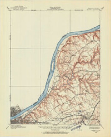
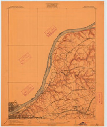
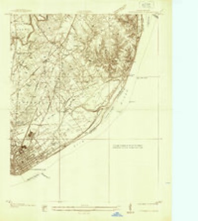
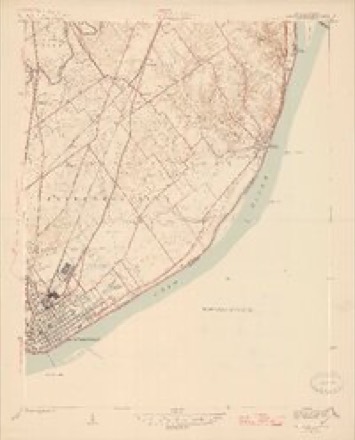
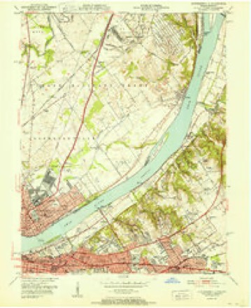
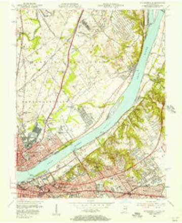
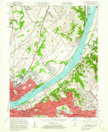
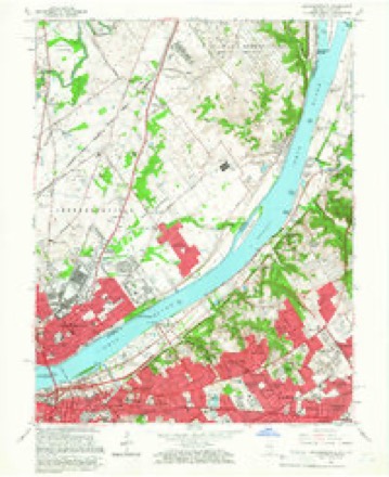
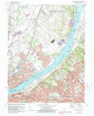
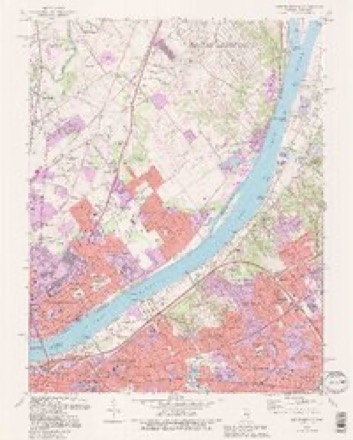
13 surveys from 21 printed sheetsMatched by testing this settlement's coordinate against the published boundary of every sheet in the United States Geological Survey's historical collection. Each opens the scanned sheet at the Survey.
- 1905 USGS Prospect quadrangle1:62500
- 1912 USGS Prospect quadrangle1:62500, 3 printings
- 1937 USGS Jeffersonville quadrangle1:24000
- 1946 USGS Jeffersonville quadrangle1:24000, 2 printings
- 1951 USGS Jeffersonville quadrangle1:24000
- 1955 USGS Jeffersonville quadrangle1:24000
- 1956 USGS Louisville quadrangle1:250000, 2 printings
- 1960 USGS Jeffersonville quadrangle1:24000
- 1964 USGS Louisville quadrangle1:250000
- 1965 USGS Jeffersonville quadrangle1:24000, 2 printings
- 1982 USGS Jeffersonville quadrangle1:24000, 2 printings
- 1986 USGS Louisville quadrangle1:100000, 2 printings
- 1993 USGS Jeffersonville quadrangle1:24000, 2 printings


Mines and quarries near this place
9 within 5 milesRegional context, not property-specific evidence. The federal mineral resources record lists 9 workings within 5 miles of Indian Hills: 5 past producers, 3 producers, 1 unknown. 3 still produce. What was taken out: Sand and Gravel, Construction, Lead, Magnesite, Stone, Crushed/Broken. Distance is straight-line from the map coordinates, so a quarry counted here may appear on a neighbouring settlement's page as well.
| Where | Site | Commodity | Status | Recorded |
|---|---|---|---|---|
| Globe Union/ Louisville, Ky. | Lead | Unknown | ||
| Louisville Sand&Gravel Inc | Stone, Crushed/Broken | Past Producer | ||
| Pilot Co. Pit | Magnesite | Past Producer | ||
| Alert Dredge | Sand and Gravel, Construction | Producer | ||
| First Street Yard | Sand and Gravel, Construction | Producer | ||
| Martha E. Green Dredge | Sand and Gravel, Construction | Past Producer | ||
| Nugent Plant | Sand and Gravel, Construction | Past Producer | ||
| Utica Sand Plant | Sand and Gravel, Construction | Past Producer | ||
| Utica Sand and Gravel Pit | Sand and Gravel, Construction | Producer |
Storms near this place
30 since 2002Regional context, not property-specific evidence. The National Weather Service names Indian Hills in 30 storm reports between 2002 and 2025: 15 thunderstorm wind, 6 flood, 5 flash flood, 3 hail. The reports record 1 death and 1 injury. Each account below is quoted exactly as the forecast office filed it, from the NOAA Storm Events Database, and each date opens the federal record of that event.
| When | Event | Place named | Harm | What the report says |
|---|---|---|---|---|
| July 2013 | Thunderstorm Wind | Indian Hills | 1 killed | Thunderstorm winds in excess of 60 mph caused a large tree branch to fall on and kill a child at the intersection of Deerfield Avenue and Rudy lane. |
| January 2012 | Tornado (EF1) | Indian Hills | 1 hurt, $300,000 | An EF-1 tornado with estimated winds of 95 mph did considerable damage along a nearly 8 mile path across the northeastern suburbs of Louisville. The twister first touched down just east of the intersection of Interstate 264 and Brownsboro Road. It did considerable roof damage to many homes to the south of Brownsboro Road and snapped numerous large trees which toppled onto the heavily traveled roadway near Ten Broeck Way. After briefly lifting over a shopping complex near the intersection of Brownsboro and Hurstbourne Roads, the tornado touched down again, tearing a large exterior wall from an indoor tennis facility, then flipped two semi trailers as it crossed Interstate 265, injuring the driver of one. After crossing the interstate, it continued to skip northeast for another 4 miles into Oldham County, doing primarily roof damage in addition to snapping and uprooting taller trees. The last major damage occurred near the corner of Ballardsville Rd and Murphy Lane, where the roof of a large horse barn was partially torn off. |
| February 2018 | Flood | Indian Hills | $400,000 | High water from significant backwater flooding closed River Road around Zorn Avenue and Frankfort Avenue near River Road. Cherokee Park also experienced extensive flooding. Road damage included erosion, washout, broken pavement, and mudslides. |
| July 2015 | Flash Flood | Indian Hills | $100,000 | A broadcast meteorologist relayed a report of high water and flash flooding in the Windy Hills neighborhood in eastern Louisville metro. Between 3 and 5 inches of rain fell in a 3 hour period. Approximately 25 water rescues occurred in Jefferson County during that morning. |
| January 2008 | Thunderstorm Wind | Indian Hills | $30,000 | Thunderstorm winds blew a large tree on some cars near the VA Hospital. |
| March 2025 | Thunderstorm Wind | Indian Hills | - | Trees were downed on Blankenbaker Avenue by thunderstorm winds. |
| April 2025 | Thunderstorm Wind | Indian Hills | - | A tree fell down across River Road. |
| June 2023 | Thunderstorm Wind | Indian Hills | - | Trees fell down. |
| June 2023 | Thunderstorm Wind | Indian Hills | - | The National Weather Service conducted a storm damage assessment survey across portions of Louisville from the storms on Sunday evening June 25. The most significant damage was along Herr Lane and Greenlawn. A gargantuan oak tree fell on a house at 7100 Greenlawn, barely missing the residents. The house was impaled by this tree. Across the street on Herr Lane, there was a section of a maple tree which fell on the owners vehicle and did some gutter damage. There were sporadic snapped trees and large limbs down across Herr Lane. ||Wind speeds were estimated to be between 85 and 90 mph. All of the damage was facing from the west northwest to the east southeast. The survey team flew the drone and confirmed there was no indication of tornadic rotation. There was sporadic wind damage in Northfield along Brownsboro Rd. Winds around this were between 60 and 65 mph. All of the damage was facing from the west northwest to the east southeast. There was no indication of tornadic rotation. | |There was sporadic wind damage along Hurstbourne Parkway between Shelbyville Rd and Westport Rd and and along LaGrange Rd by Central State Hospital. Straight Line Winds were estimated between 60 and 65 mph. ||There was one large oak tree which fell on a house at 10410 Foxboro Drive in northwest Middletown. Straight Line Winds were estimated to be 70 to 75 mph.| |All of the damage in Jefferson County was facing from the west northwest to the east southeast. There was no indication of tornadic rotation. |
| June 2022 | Thunderstorm Wind | Indian Hills | - | Trees were down on Exit 2 of Interstate 71 near Zorn Avenue. |
| June 2019 | Flash Flood | Indian Hills | - | Louisville Metro Police shut down the northbound Interstate 71 exit to Zorn Avenue due to flooding. |
| June 2019 | Flash Flood | Indian Hills | - | There was rapidly flowing water over a roadway near the Arrowhead Road and Calumet Road intersection. |
| February 2018 | Flood | Indian Hills | - | Exit ramps from Interstate 71 in both directions closed at Zorn Avenue due to flooding. |
| February 2018 | Flood | Indian Hills | - | Rivera Drive and Riverside Drive closed due to high water and flooding. |
| May 2018 | Thunderstorm Wind | Indian Hills | - | Trees reported down on Blankenbaker Lane. |
| July 2018 | Flash Flood | Indian Hills | - | Zorn Avenue was flooded. |
| February 2018 | Flood | Indian Hills | - | Blankerbaker Lane from Rivera Drive to River Road closed due to flooding. |
| February 2018 | Flood | Indian Hills | - | Mellwood Avenue at Mockingbird Valley Road near soccer fields closed due to high water and flooding. |
| July 2017 | Thunderstorm Wind | Indian Hills | - | A large tree was down due to severe thunderstorm winds. |
| June 2016 | Thunderstorm Wind | Indian Hills | - | Severe thunderstorm winds brought down power lines along Interstate 71 near mile marker 2.6. This briefly closed the interstate for a time. |
| April 2015 | Hail | Indian Hills | - | The public reported nickel size hail. |
| April 2015 | Hail | Indian Hills | - | Half dollar size hail was reported by the public. |
| July 2015 | Flash Flood | Indian Hills | - | A law enforcement official reported excessive rainfall and intense rain rates caused flooding to occur on Mellwood Avenue near Zorn Avenue. Between 3 and 6 inches of rain fell in a 3 hour period across much of eastern Jefferson County. |
| July 2015 | Thunderstorm Wind | Indian Hills | - | The Jefferson County emergency manager reported several trees down at the intersection of Brownsboro Road and Moccasin Trail. |
| April 2012 | Hail | Indian Hills | - | A spotter reported one inch hail near the Veteran's Administration Hospital east of downtown Louisville. |
| July 2012 | Thunderstorm Wind | Indian Hills | - | A spotter noted that a thunderstorm downed numerous branches along with a tree near the intersection of River Road and Zorn Avenue. |
| April 2011 | Flood | Indian Hills | - | The Ohio River above Louisville's McAlpine Lock and Dam crested around 23.6 feet at 545 AM EST on April 15. Flood stage at this site is 23 feet. Minor flooding occurs at this level with sections of River Road closed near Cox's Park. |
| May 2011 | Thunderstorm Wind | Indian Hills | - | Several trees were blown down along River Rd. |
| August 2010 | Thunderstorm Wind | Indian Hills | - | Several large tree limbs were down near Ballard High School and on Shepherds Lane. |
| November 2002 | Thunderstorm Wind | Indian Hills | - | Trees were downed along River Road. |
Nearest settlements
The eight closest, with where each one stands in the county. Distances are straight-line, computed from the Geographic Names Information System coordinates.
| Map | Place | Distance | Sheets |
|---|---|---|---|
| Rolling Fields | 0.6 miles | 21 | |
| Druid Hills | 0.6 miles | 21 | |
| Brownsboro Village | 0.7 miles | 21 | |
| Riverwood | 0.7 miles | 21 | |
| Maryhill Estates | 0.8 miles | 21 | |
| Indian Hills Cherokee Section | 0.8 miles | 21 | |
| Cherrywood Village | 1.0 miles | 21 | |
| Mockingbird Valley | 1.0 miles | 21 |
Elsewhere
Matched on this settlement's Geographic Names Information System number rather than its name, so it cannot be a different place of the same name in another state.
| Wikipedia article on Indian Hills | An encyclopaedic summary. Its text is share-alike, so it is linked here rather than copied. |
| Wikidata item Q508235 | The structured record the population and elevation above come from. Public domain (CC0). |
Provenance
This settlement is recorded in the Geographic Names Information System as feature 494968. The sheet list is computed by point-in-boundary test against the United States Geological Survey's historical topographic inventory. Both are works of the United States government and carry no copyright under 17 U.S.C. 105.
Mines and quarries. USGS Mineral Resources Data System (MRDS) https://mrdata.usgs.gov/mrds/ A work of the United States government, no copyright under 17 U.S.C. 105.
Storms. NOAA National Centers for Environmental Information, Storm Events Database https://www.ncei.noaa.gov/stormevents/ A work of the United States government, no copyright under 17 U.S.C. 105. Narratives are quoted verbatim from the National Weather Service report and are not edited or summarised.