 Block
Joyes, Kentucky
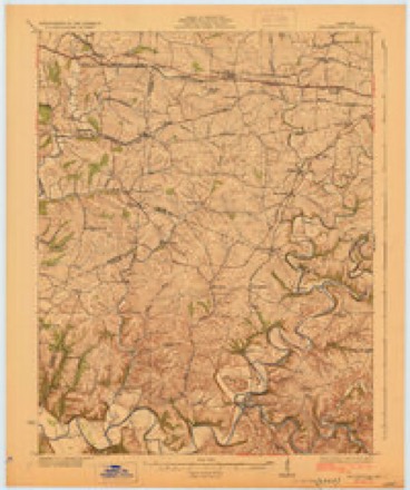
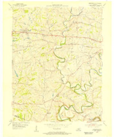
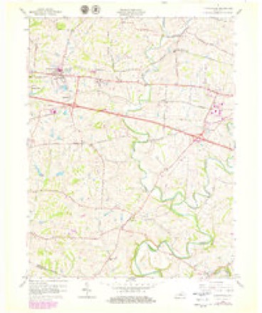
11 topographic sheets cover this place, the earliest surveyed in 1929 and the latest in 1986. It stands in the Shelbyville census division. It lies in ZIP code area 40065. It stands on Little Bullskin Creek. The Survey maps it on the Simpsonville quadrangle.
On record in Joyes
Buildings and businesses the archive holds for this place. Each opens its own page, with the source record it came from.
On the National Register within a mile 2 records
The National Register names another town for these. They stand within one mile of this settlement's coordinate.
- D. T. Long Houselisted 1988 · 0.5 miles away
- Scott's Station Interurban Power Houselisted 2025 · 0.7 miles away
Topographic sheets covering this place
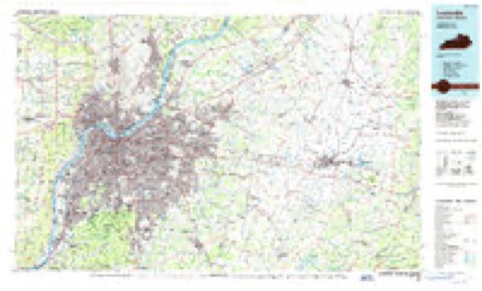
6 surveys from 11 printed sheetsMatched by testing this settlement's coordinate against the published boundary of every sheet in the United States Geological Survey's historical collection. Each opens the scanned sheet at the Survey.
- 1929 USGS Taylorsville quadrangle1:62500, 2 printings
- 1954 USGS Simpsonville quadrangle1:24000
- 1956 USGS Louisville quadrangle1:250000, 2 printings
- 1960 USGS Simpsonville quadrangle1:24000, 3 printings
- 1964 USGS Louisville quadrangle1:250000
- 1986 USGS Louisville quadrangle1:100000, 2 printings


Mines and quarries near this place
1 within 5 milesRegional context, not property-specific evidence. The federal mineral resources record lists 1 working within 5 miles of Joyes: 1 unknown. None of them still produces. What was taken out: Aluminum. Distance is straight-line from the map coordinates, so a quarry counted here may appear on a neighbouring settlement's page as well.
| Where | Site | Commodity | Status | Recorded |
|---|---|---|---|---|
| Ohio Valley Aluminum/Shelbyville Ky | Aluminum | Unknown |
Storms near this place
7 since 2008Regional context, not property-specific evidence. The National Weather Service names Joyes in 7 storm reports between 2008 and 2024: 5 thunderstorm wind, 1 hail, 1 tornado. No death or injury is recorded in these reports. Each account below is quoted exactly as the forecast office filed it, from the NOAA Storm Events Database, and each date opens the federal record of that event.
| When | Event | Place named | Harm | What the report says |
|---|---|---|---|---|
| February 2008 | Thunderstorm Wind | Joyes | $200,000 | Straight line winds destroyed several large barns and uprooted several trees on Mt. Eden Road south of Interstate 64. |
| February 2008 | Thunderstorm Wind | Joyes | $200,000 | Straight line winds destroyed several large barns uprooted trees on Hebron Road near Scott Station and Harrington Mill Roads. |
| May 2024 | Thunderstorm Wind | Joyes | - | Multiple trees were downed by strong winds in a yard off of U.S. Route 60 and Scott Station Road. |
| May 2023 | Tornado (EF0) | Joyes | - | A Valero gas station sign was pushed to the east and towards Highway 55 (Taylorsville Road), with some of the sign damage thrown across Highway 55 onto Pearce Industrial Road. The next damage was at the Black and Decker plant off of Harry Long Road. There was significant roofing damage across several portions of the roof to be lifted and thrown 30-40 yards. All of the debris from the roof was pushed to the east-southeast. | There were 3 business and home videos that all faced toward the Black and Decker warehouse, where you can definitely see a narrow funnel in contact with the ground. This was key to this tornado rating as drone photography showed almost no damage between the Valero Gas Station and B & D roof structure. There was not a single tree |snapped or twisted and a large cell tower right in its path had no damage. Based on the videos and the damage to the B & D roofing structure, the survey team came up with a EF0 75 mph rating, with a width of 30 yards. | The survey team drove across several intersecting roads within a two mile radius along old Finchville Road over to Zaring Mill Road and found no other damage. |
| April 2015 | Hail | Joyes | - | Penny size hail was reported near Shelbyville. |
| July 2015 | Thunderstorm Wind | Joyes | - | A law enforcement official reported trees down in the 5300 block of Zaring Mill Road. |
| August 2013 | Thunderstorm Wind | Joyes | - | Local law enforcement reported three trees down just south of Shelbyville. |
Nearest settlements
The eight closest, with where each one stands in the county. Distances are straight-line, computed from the Geographic Names Information System coordinates.
| Map | Place | Distance | Sheets |
|---|---|---|---|
| Montclair | 2.1 miles | 11 | |
| Middletown Heights | 2.6 miles | 14 | |
| Veechdale | 3.1 miles | 11 | |
| Simpsonville | 3.5 miles | 11 | |
| Shelbyville | 3.6 miles | 14 | |
| Finchville | 4.0 miles | 11 | |
| Lincoln Ridge | 4.5 miles | 12 | |
| Veachland | 5.0 miles | 14 |
Provenance
This settlement is recorded in the Geographic Names Information System as feature 508360. The sheet list is computed by point-in-boundary test against the United States Geological Survey's historical topographic inventory. Both are works of the United States government and carry no copyright under 17 U.S.C. 105.
Mines and quarries. USGS Mineral Resources Data System (MRDS) https://mrdata.usgs.gov/mrds/ A work of the United States government, no copyright under 17 U.S.C. 105.
Storms. NOAA National Centers for Environmental Information, Storm Events Database https://www.ncei.noaa.gov/stormevents/ A work of the United States government, no copyright under 17 U.S.C. 105. Narratives are quoted verbatim from the National Weather Service report and are not edited or summarised.