 Block
From the record
142 National Register listings published here, 1 of them a National Historic Landmark.
Sources: the National Register database, National Park Service
58 topographic sheets and 8 fire insurance atlases across 1 place.
142 National Register listings published here, 1 of them a National Historic Landmark.
Sources: the National Register database, National Park Service
Taken for the Office of War Information and the Farm Security Administration, who photographed the country between 1935 and 1944. Works of United States government photographers, with no known restriction on use. Each opens its catalogue record.

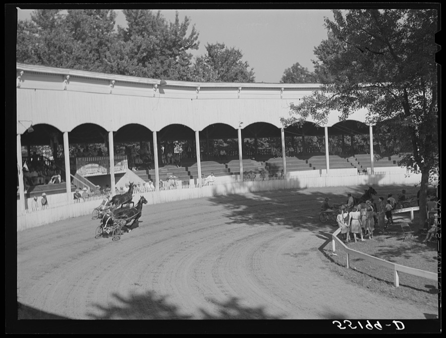
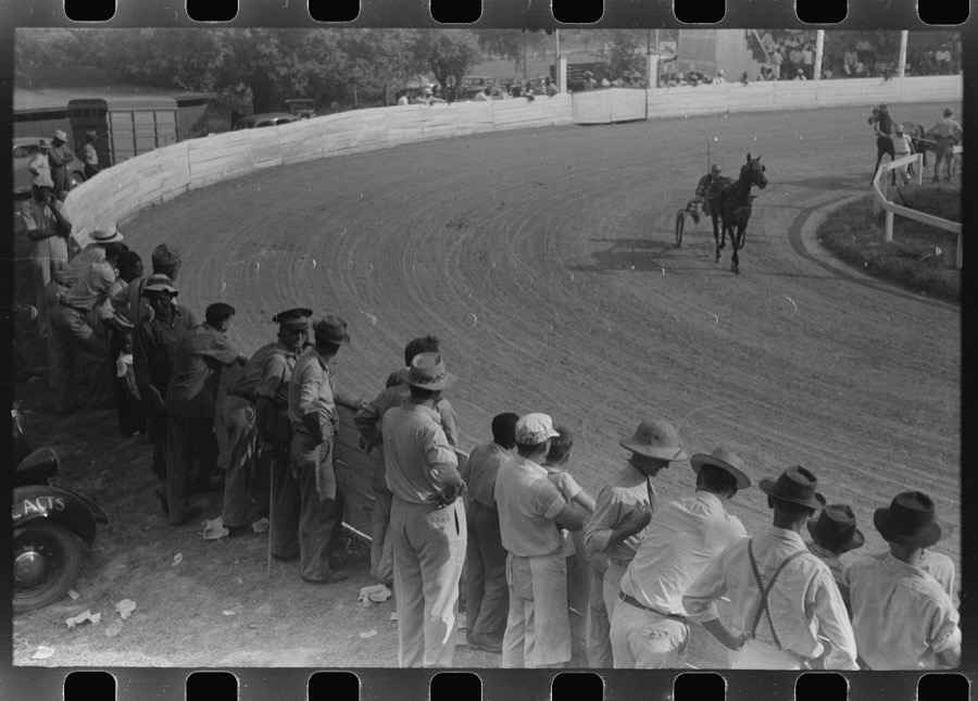
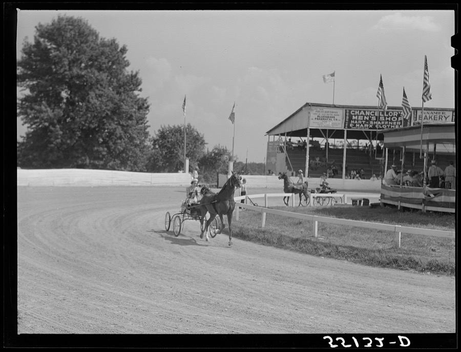
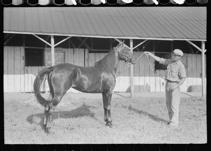
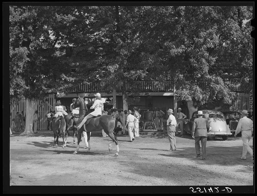
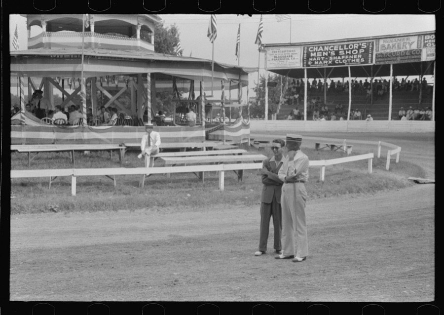
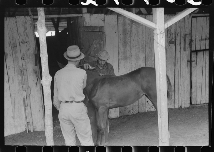
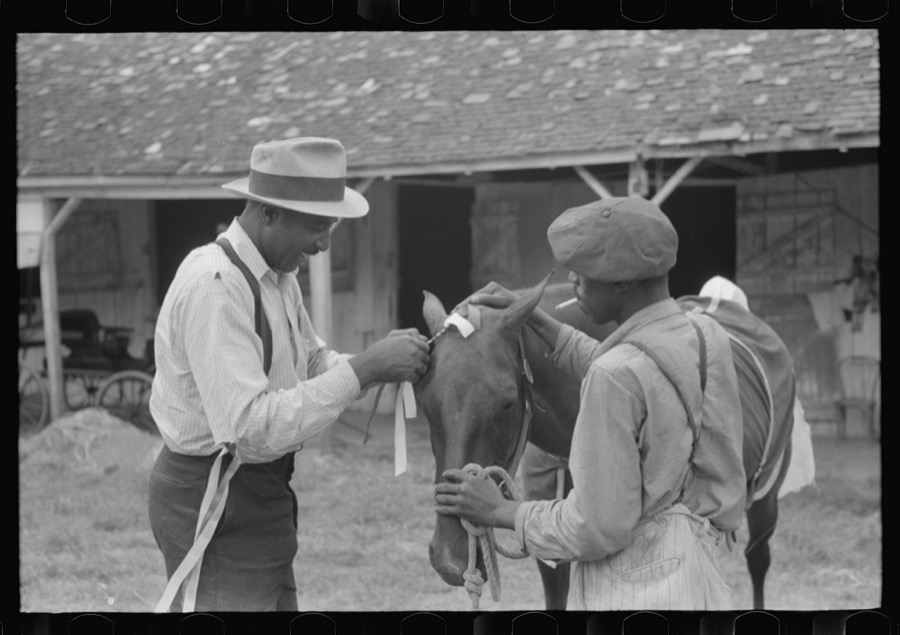
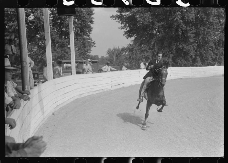
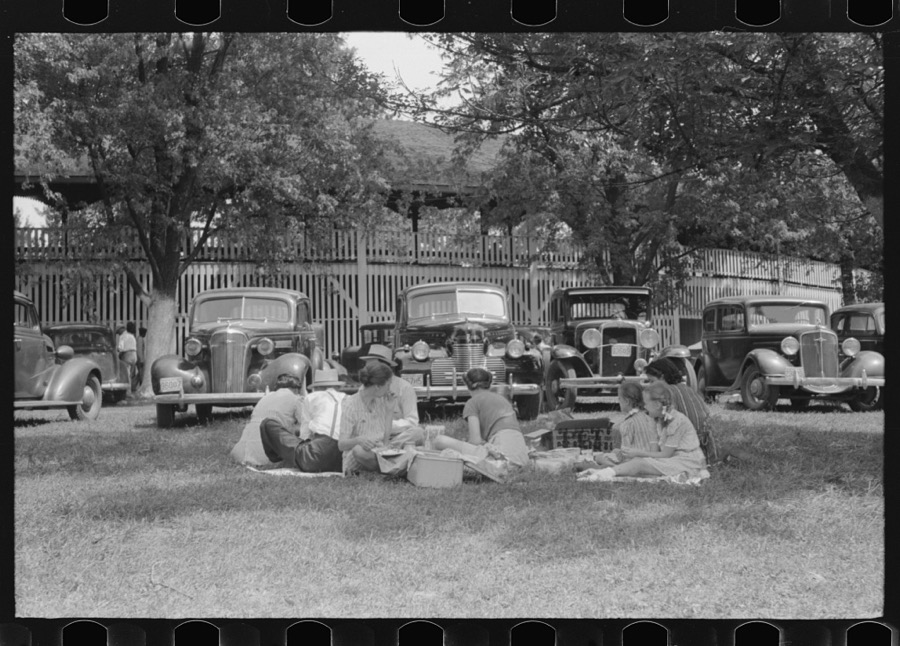
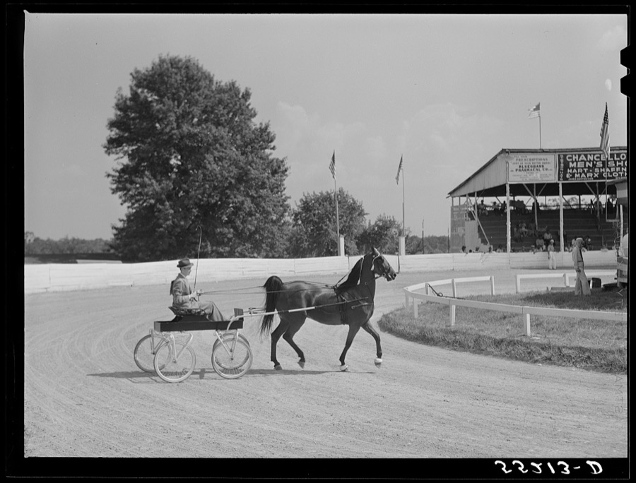
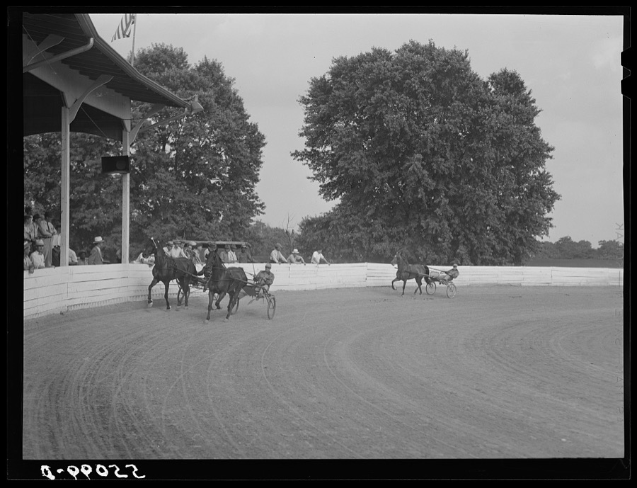
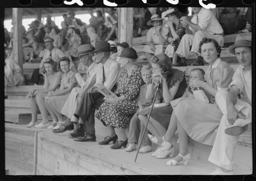
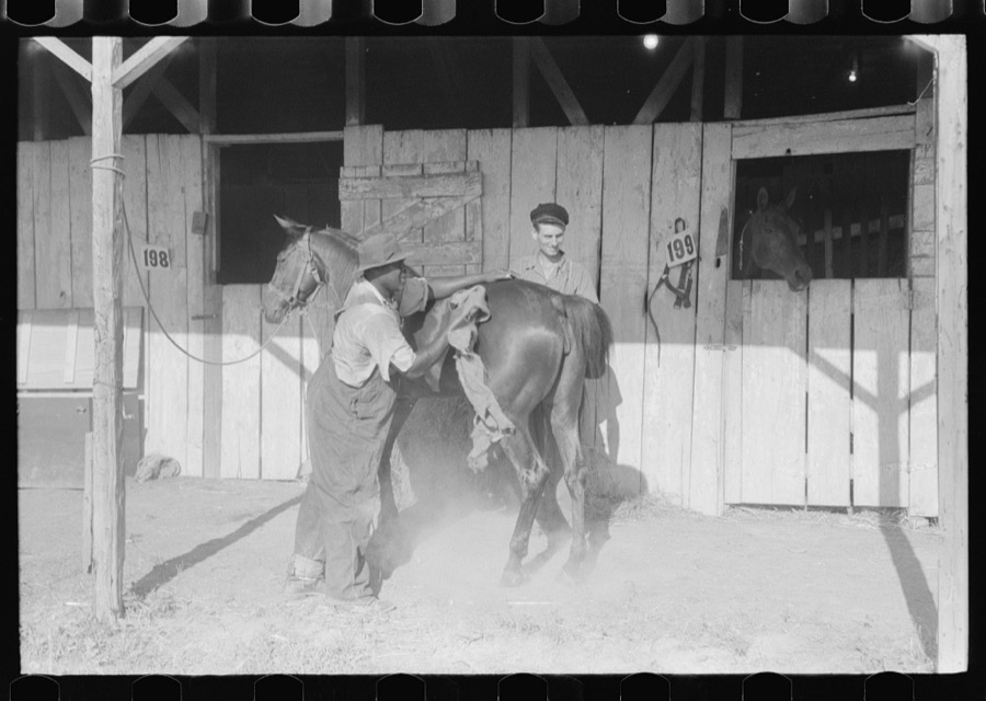
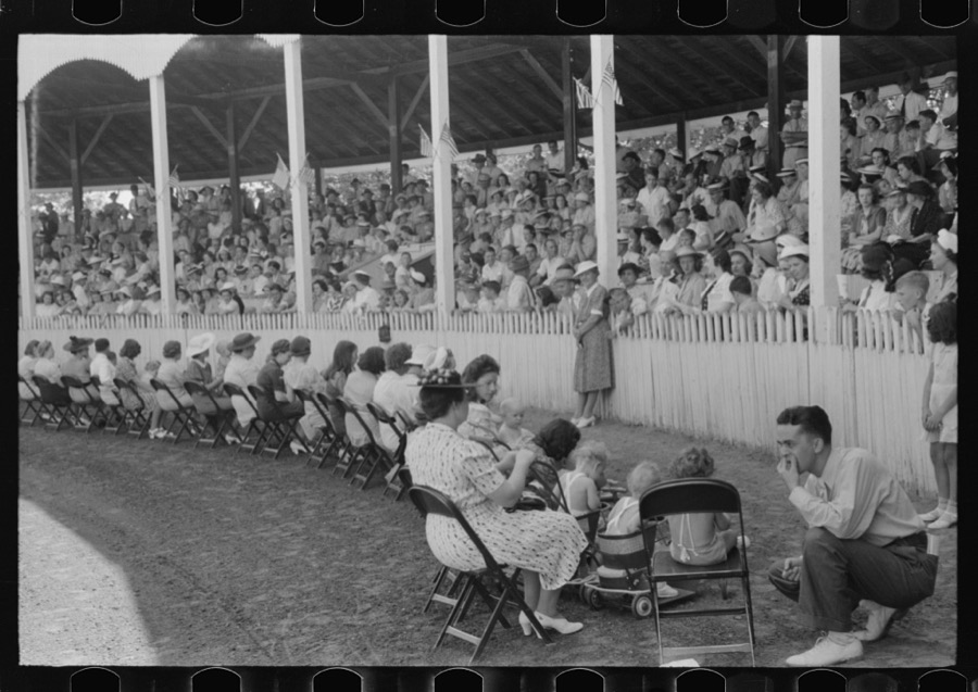
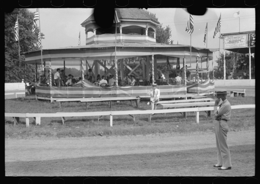
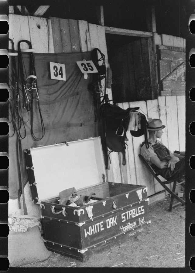
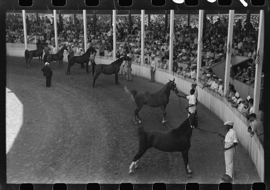
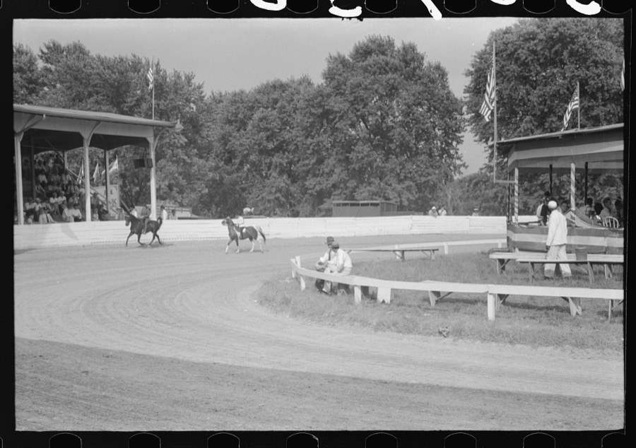
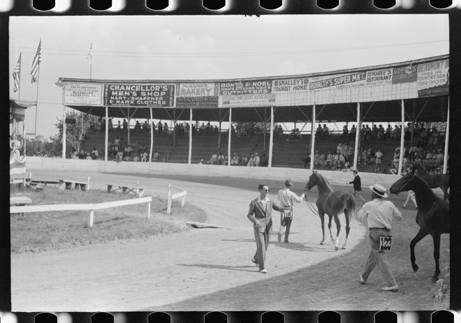
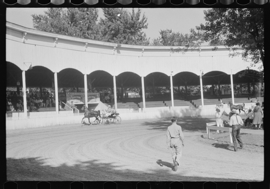
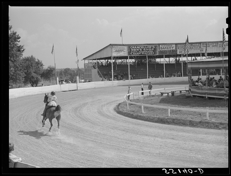
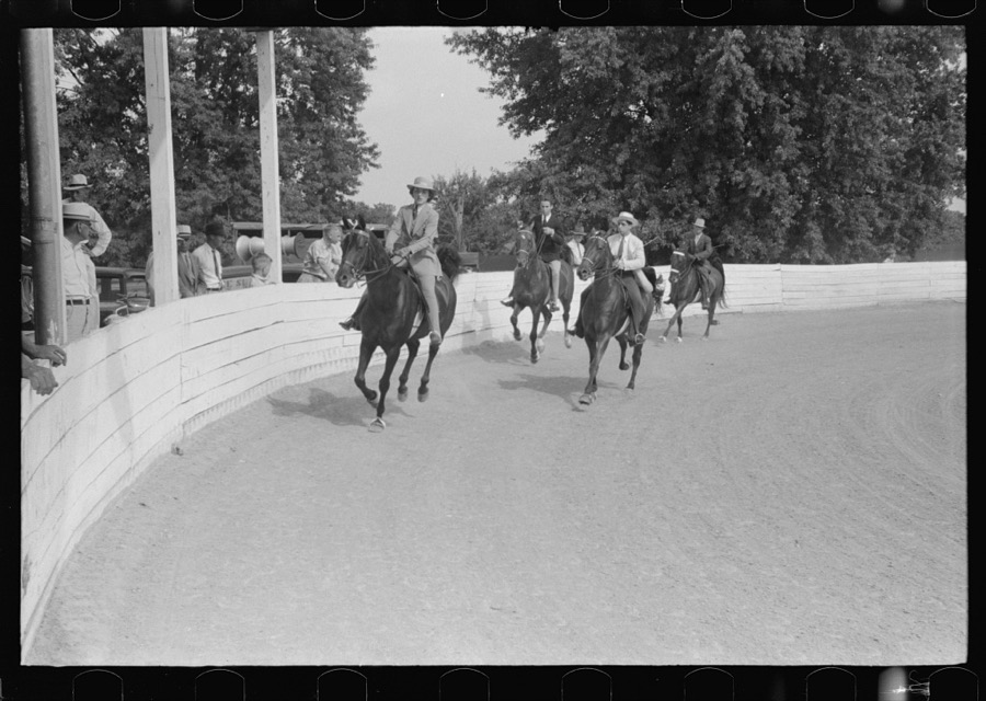
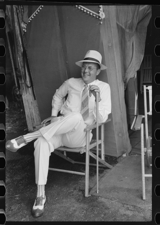
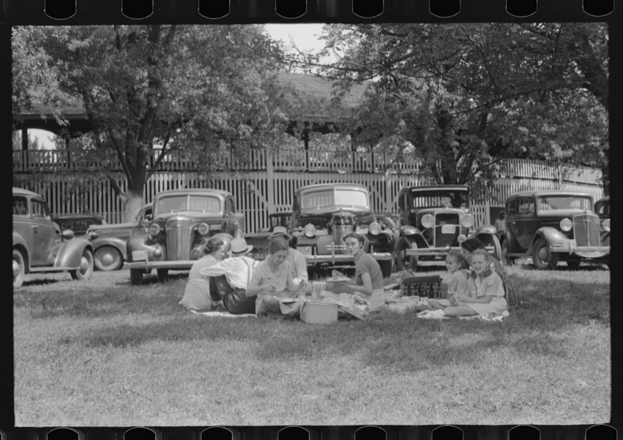
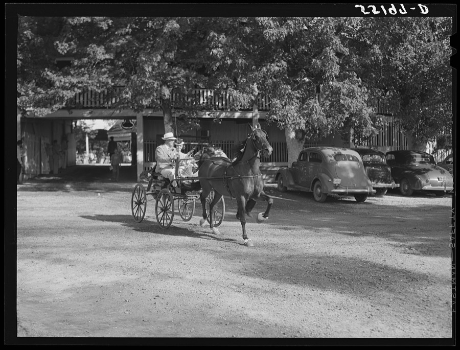
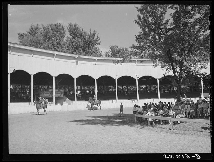
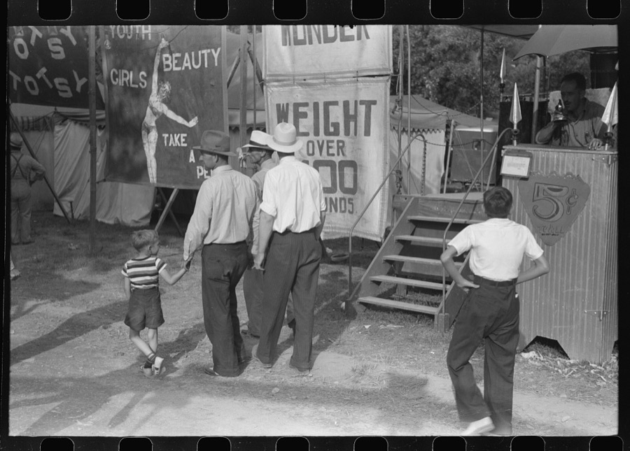
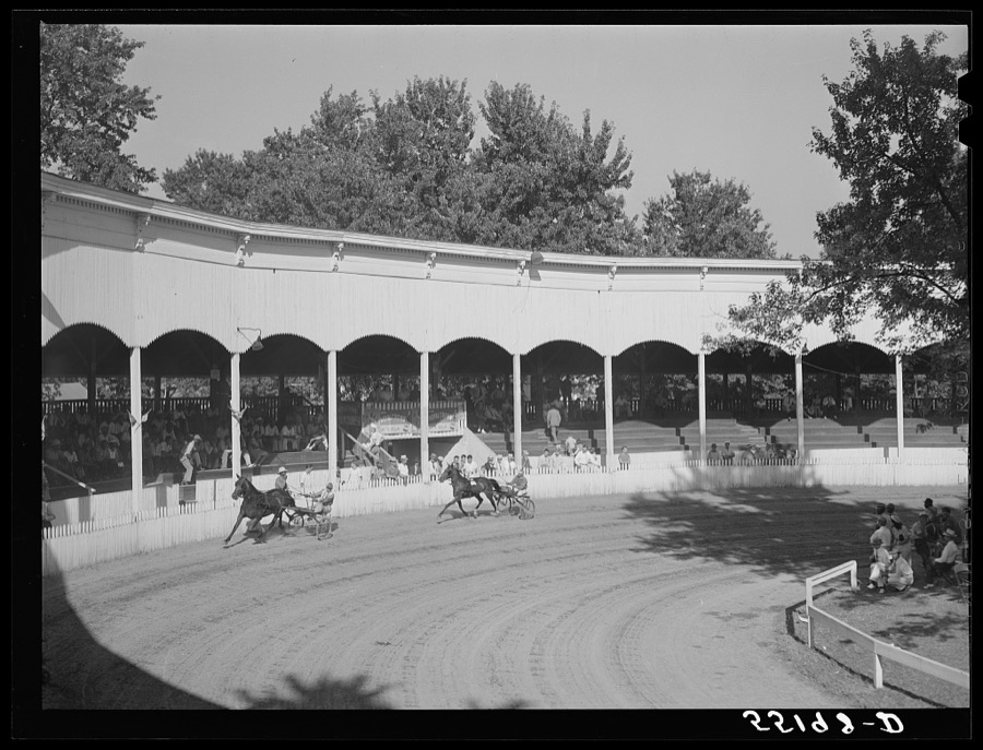
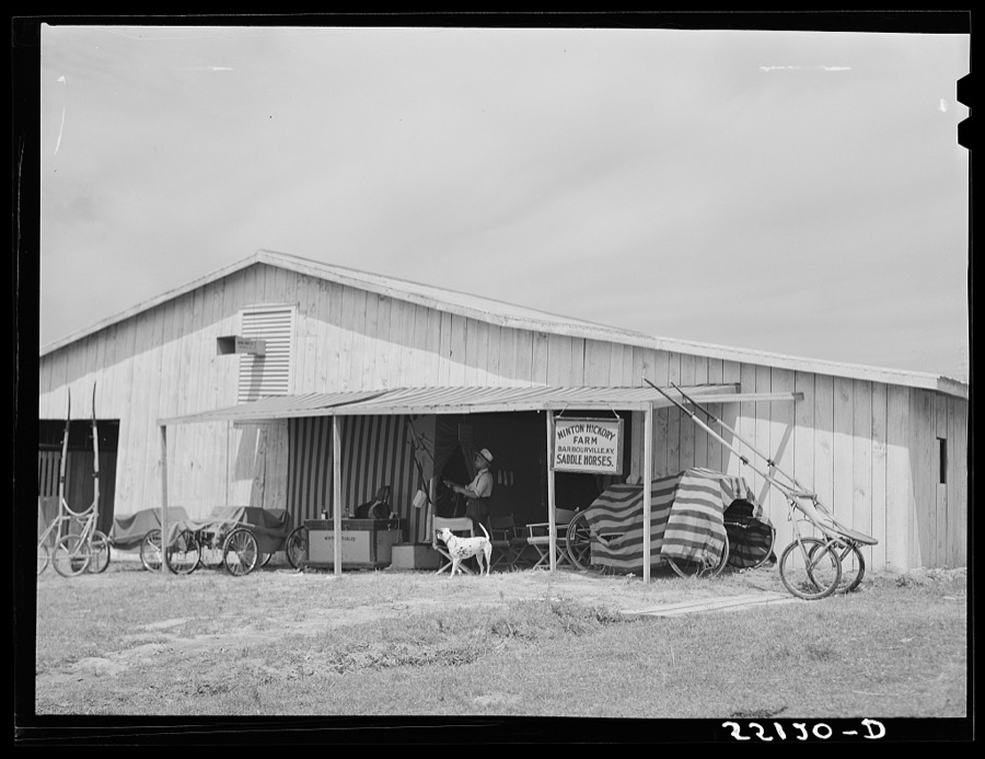
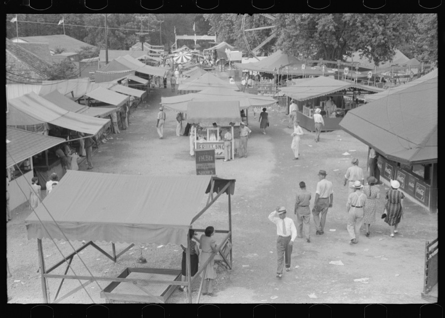
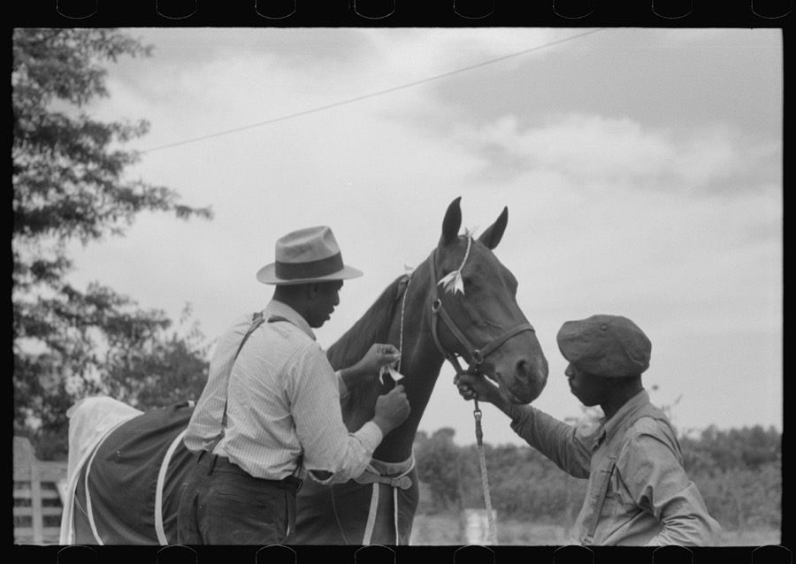
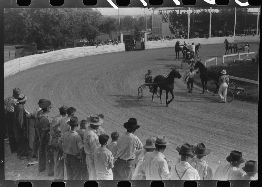
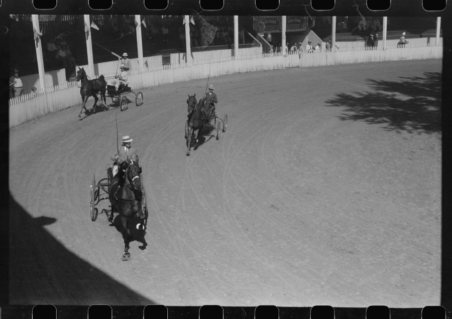
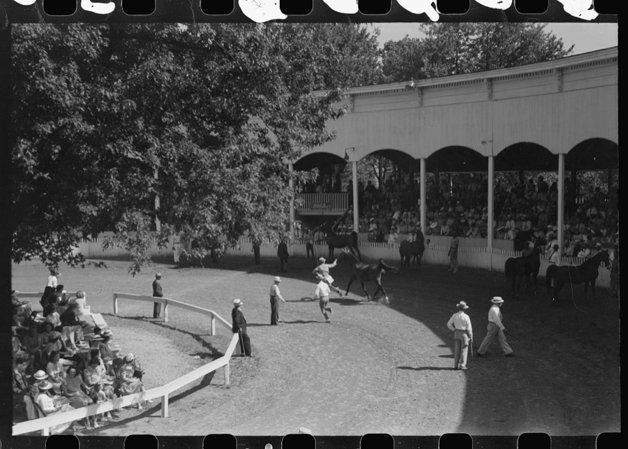
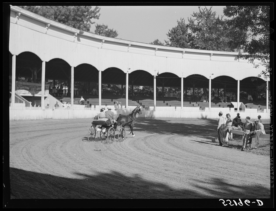
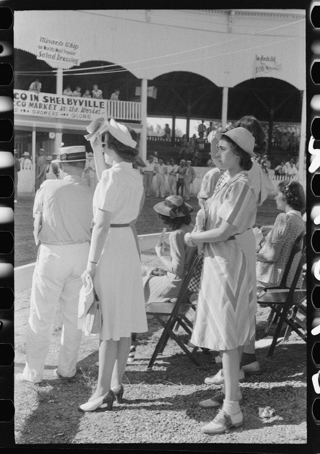
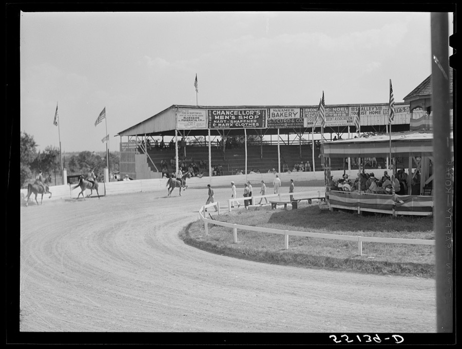
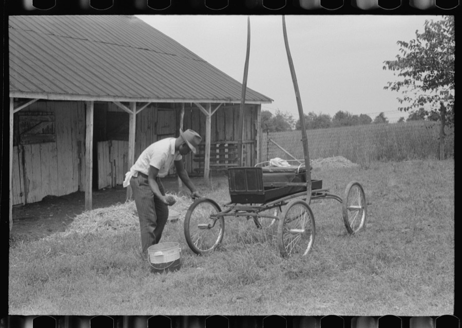
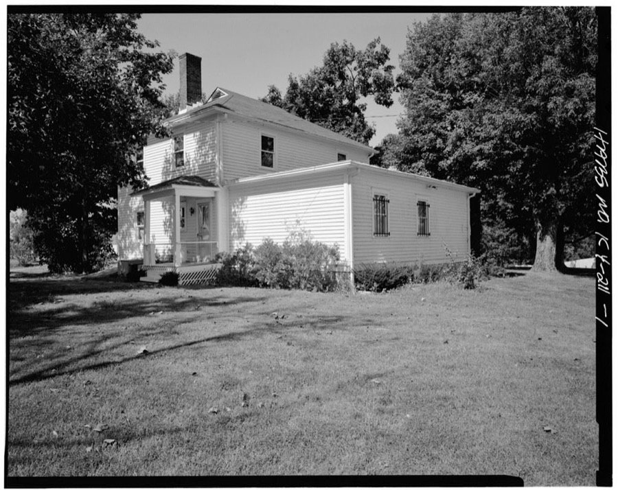
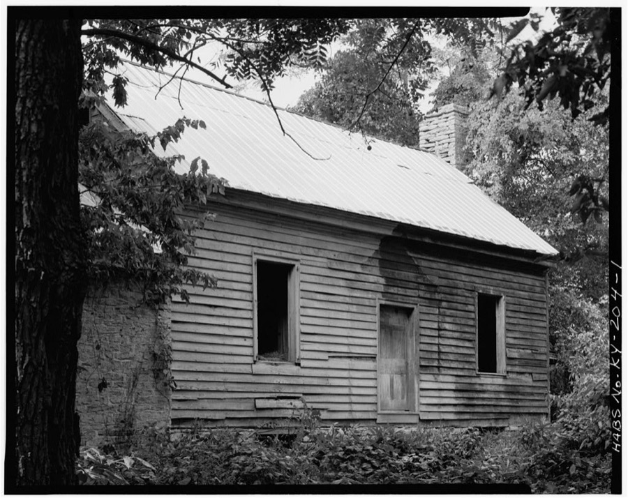
Every property in this county listed on the National Register of Historic Places, with the year it was listed and the federal nomination document.
| Photograph | Property | Type | Listed | Reference |
|---|---|---|---|---|
| 413 6th Street | building | 1978 | 78001399 | |
| Allen Dale Farm | building | 1983 | 83003821 | |
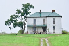 | J. B. Allen House | building | 1988 | 88002867 |
| William H. Ballard House | building | 1988 | 88002936 | |
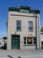 | Bank of Simpsonville | building | 1988 | 88002878 |
| Basket Farm | building | 1988 | 88002848 | |
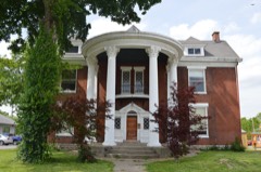 | Bayne House | building | 1984 | 84001989 |
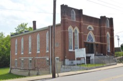 | Bethel AME Church | building | 1984 | 84001990 |
| Bethel Church | building | 1988 | 88002907 | |
| Bird Octagonal Mule Barn | building | 1988 | 88002858 | |
| Bird's Nest | building | 1988 | 88002859 | |
| Philomen Bird House | building | 1988 | 88002917 | |
| William Blades House | building | 1988 | 88002924 | |
| Bland Farm | district | 1988 | 88002882 | |
| Blaydes House | building | 1988 | 88002852 | |
| Samuel Booker House | building | 1988 | 88002868 | |
| Booker-Giltner House | building | 1988 | 88002870 | |
| Cameron Brown Farm | district | 1988 | 88002914 | |
 | John C. Brown House | building | 1988 | 88002856 |
| Bryan House | building | 1988 | 88002880 | |
| Buck Creek Rosenwald School | building | 2013 | 13000113 | |
| Building at Jct. of KY 395 and 1779 | building | 1988 | 88002885 | |
| Burton House | building | 1988 | 88002896 | |
| David Burton House | building | 1988 | 88002866 | |
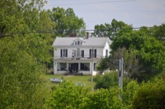 | Caldwell House | building | 1988 | 88002939 |
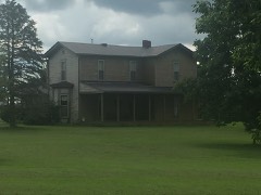 | Calloway House | building | 1988 | 88002886 |
 | Carnegie Public Library | building | 1985 | 85001253 |
| Carpenter House | building | 1988 | 88002928 | |
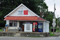 | Carriss's Feed Store | building | 1988 | 88002897 |
| Carriss's Store | building | 1988 | 88002898 | |
| Chiles-Bailey House | building | 1988 | 88002923 | |
 | Church of the Annunciation | building | 1984 | 84002011 |
| Henry Clay School | building | 1988 | 88002944 | |
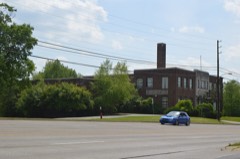 | Coca-Cola Plant | building | 1988 | 88002925 |
| Collins House | building | 1988 | 88002876 | |
| Courtney House | building | 1988 | 88002933 | |
| John Edward Crockett House | building | 1988 | 88002851 | |
| Cross Keys Tavern Kitchen and Quarters | building | 1987 | 87000205 | |
| John Dale House | building | 1988 | 88002877 | |
| E. M. Davis Farm | building | 1988 | 88002919 | |
| Dependency on Mulberry Creek | building | 1987 | 87000167 | |
| Marene Duvall House | building | 1988 | 88002905 | |
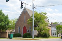 | East Shelbyville District | district | 1985 | 85001252 |
| Samuel Ellis House | building | 1988 | 88002872 | |
| Bushrod Figg House | building | 1988 | 88002915 | |
| Froman Fry Farm | building | 1988 | 88002952 | |
| L. C. Fry Farm | building | 1988 | 88002884 | |
| C. E. Frye Farm | building | 1988 | 88002883 | |
| Fullenwider House | building | 1988 | 88002874 | |
| Peter Fullenwielder House | building | 1987 | 87000180 | |
| S. D. Glass House | building | 1988 | 88002887 | |
| J. W. Goodman House | building | 1988 | 88002864 | |
| Graham House | building | 1988 | 88002849 | |
| Grasslands | building | 1977 | 77000645 | |
| Gray House | building | 1988 | 88002913 | |
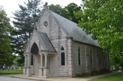 | Grove Hill Cemetery Chapel | building | 1988 | 88002922 |
| John G. and William Hansbrough House | building | 1988 | 88002865 | |
| Harbison House | building | 1988 | 88002875 | |
| Harbison House | building | 1988 | 88002931 | |
| Hedden House | building | 1988 | 88002846 | |
| Helmwood Hall | building | 1986 | 86000463 | |
| Hinton-Scearce House | building | 2009 | 09000571 | |
| Hornsby Bridge | structure | 1988 | 88002906 | |
| John A. Hornsby House | building | 1988 | 88002869 | |
| John A. Hornsby House (Boundary Increase) | district | 1989 | 88003195 | |
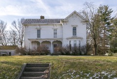 | M. W. Huss House | building | 1988 | 88002946 |
| Eli Jackson House | building | 1988 | 88002891 | |
| Johnston House | building | 1988 | 88002890 | |
| M. J. King House | building | 1988 | 88002916 | |
| Knight-Stout House | building | 1975 | 75000829 | |
 | Lincoln Institute Complex | district | 1988 | 88002926 |
 | Logan House | building | 1988 | 88002929 |
| D. T. Long House | building | 1988 | 88002902 | |
| Martin House | building | 1988 | 88002937 | |
| McMicken House | building | 1988 | 88002871 | |
| Henri Middleton House | building | 1988 | 88002847 | |
| Money Farm | building | 1988 | 88002910 | |
| Montgomery House | building | 1988 | 88002948 | |
| Dr. William Morris Office and House | building | 1988 | 88002909 | |
| Moxley Farm | building | 1988 | 88002932 | |
| Muir House | building | 1988 | 88002899 | |
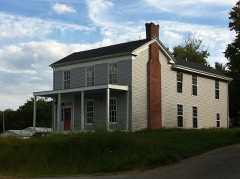 | Dr. Nash House | building | 1988 | 88002903 |
| Neal-Hamblen House | building | 1988 | 88002873 | |
| Newton House | building | 1988 | 88002943 | |
| Old Post Office Building | building | 1985 | 85001254 | |
| Old Stone Inn | building | 1976 | 76000944 | |
| Olive Branch Methodist Episcopal Church | building | 1988 | 88002895 | |
| Brackett Owen House | building | 1988 | 88002940 | |
| Payne House | building | 1988 | 88002954 | |
| Pemberton Farm | building | 1988 | 88002908 | |
| James A. Pickett House | building | 1988 | 88002930 | |
| Pugh House | building | 1988 | 88002935 | |
| Radcliffe-Duvall Farm | building | 1988 | 88002920 | |
| Ramsey House | building | 1988 | 88002934 | |
| Redmon House | building | 1988 | 88002853 | |
| Rice House | building | 1988 | 88002945 | |
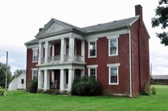 | Robertson House | building | 1988 | 88002949 |
| Rodgers House | building | 1988 | 88002918 | |
| Royalty-Smith Farm | building | 1988 | 88002901 | |
| Saffell Funeral Home | building | 1984 | 84002012 | |
| Salem Baptist Church | building | 1988 | 88002953 | |
| Scearce-Roush House | building | 2017 | 100000745 | |
 | Science Hill School | district | 1975 | 75000831 |
| Scott's Station Interurban Power House | building | 2025 | 100012244 | |
| Shady Rest | building | 1988 | 88002947 | |
| Shelby Academy | building | 1975 | 75000830 | |
| Shelby County Courthouse and Main Street Commercial District (Boundary Increase) | district | 1985 | 85000864 | |
| Shelbyville L & N Railroad Depot | building | 1975 | 75000832 | |
| Shropshire Farm | building | 1988 | 88002911 | |
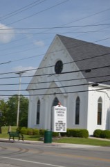 | Simpsonville Christian Church | building | 1988 | 88002881 |
 | Simpsonville Methodist Church | building | 1988 | 88002879 |
| William Sleadd Farm | building | 1988 | 88002941 | |
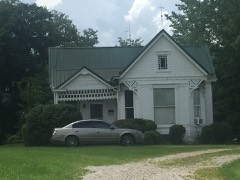 | Snook House | building | 1988 | 88002855 |
| Van B. Snook House | building | 1988 | 88002863 | |
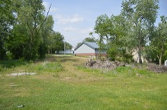 | St. John United Methodist Church | building | 1984 | 84002016 |
| Stapleton Farm | building | 1988 | 88002912 | |
| G. W. Stewart House | building | 1988 | 88002888 | |
| Stone House on Clear Creek | building | 1987 | 87000141 | |
| Sturgeon-Gregg House | building | 1984 | 84000418 | |
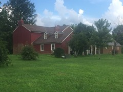 | Swindler House | building | 1988 | 88002862 |
 | Tevis Cottage | building | 1984 | 84002018 |
 | Thomas House | building | 1988 | 88002857 |
| William J. Thomas House | building | 1988 | 88002860 | |
| Thomas Threlkeld House | building | 1984 | 84002021 | |
| Tindall House | building | 1988 | 88002904 | |
| Charles and Letitia Shelby Todd House | building | 1975 | 75000833 | |
| Undulata | building | 1980 | 80004519 | |
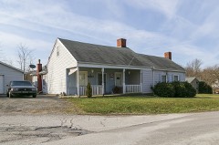 | Vanatta House | building | 1988 | 88002942 |
| Venable-Chase House | building | 1988 | 88002861 | |
| Waddy Bank Building | building | 1978 | 78001400 | |
| Waddy Historic District | district | 1988 | 88002921 | |
| Charles Ware House | building | 1988 | 88002845 | |
| Shelby D. Ware House | building | 1988 | 88002950 | |
| Benjamin Washburn House | building | 1977 | 77000646 | |
| Thomas Weakley House | building | 1988 | 88002850 | |
| Weissinger Mule Barn | building | 1988 | 88002938 | |
| West Shelbyville District | district | 1985 | 85001273 | |
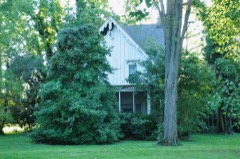 | White House | building | 1988 | 88002854 |
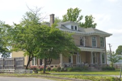 | Wickland | building | 1984 | 84002023 |
| Wise House | building | 1988 | 88002955 | |
| Wright House | building | 1988 | 88002927 | |
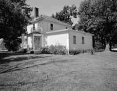 | Whitney M. Young Jr. Birthplace | building | 1972 | 72000543 |
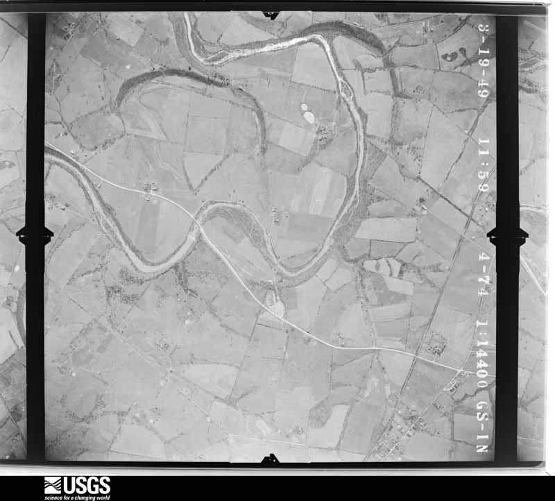
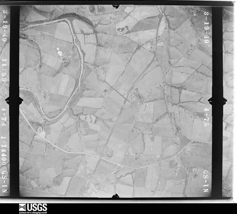
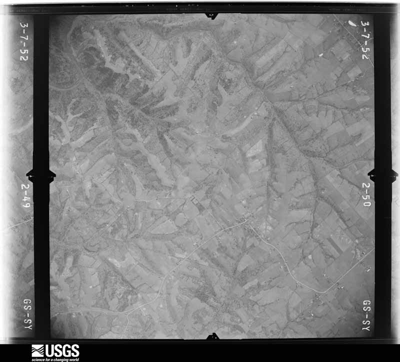
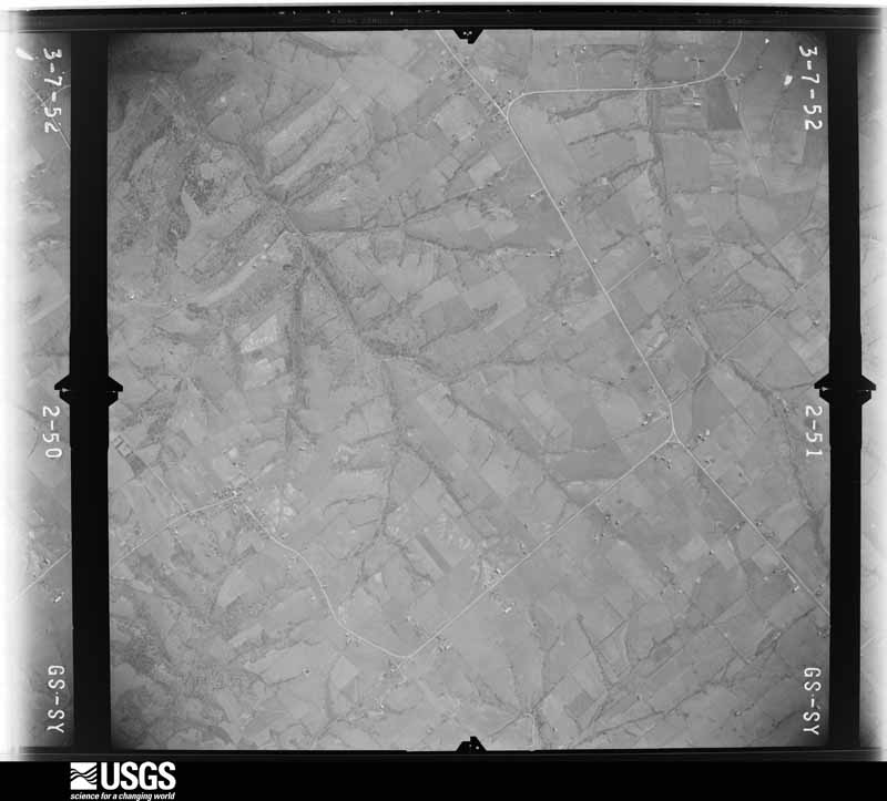
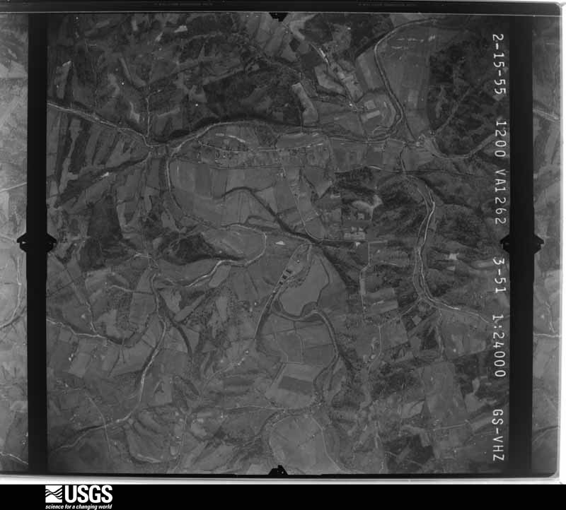
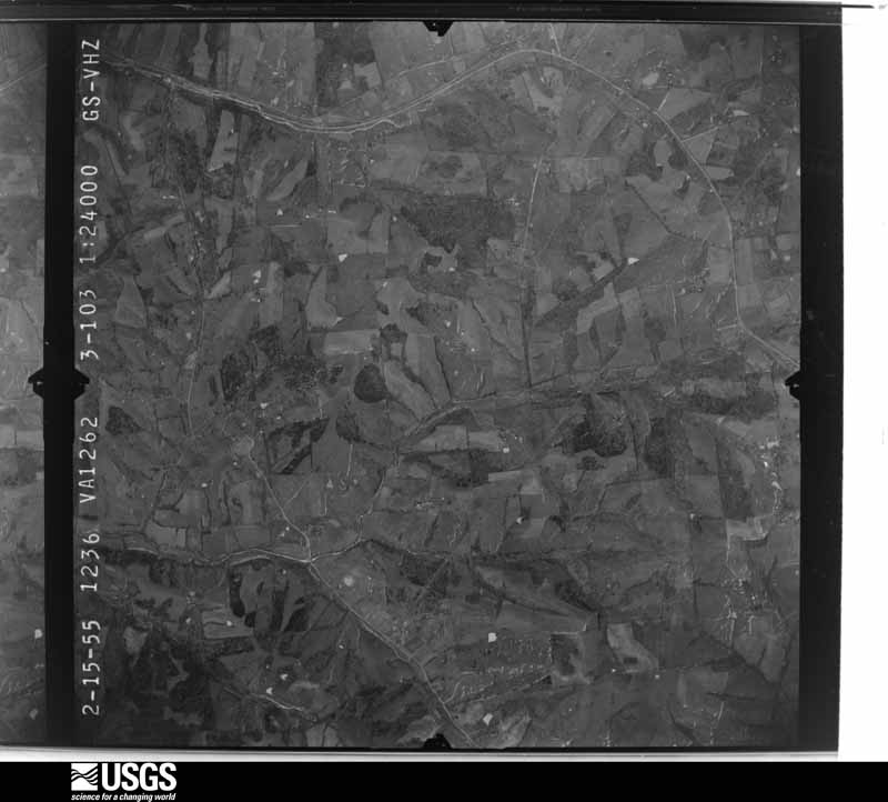
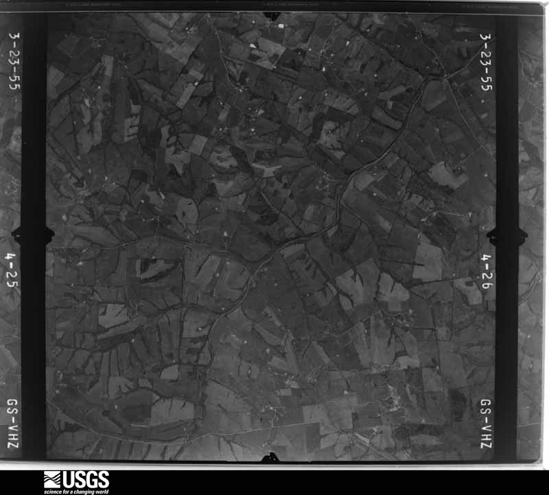
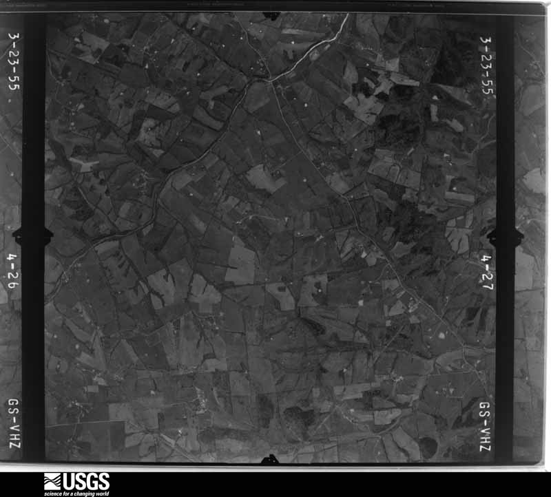
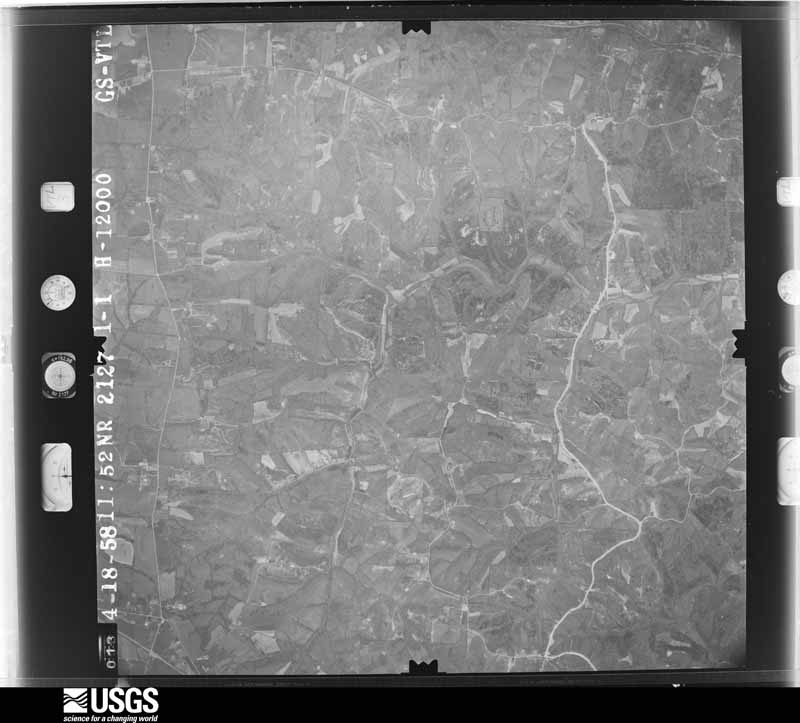
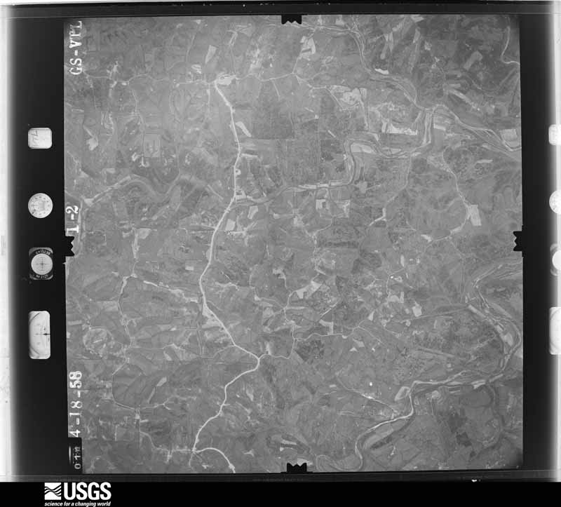
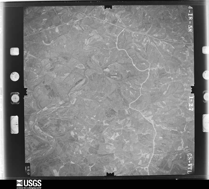
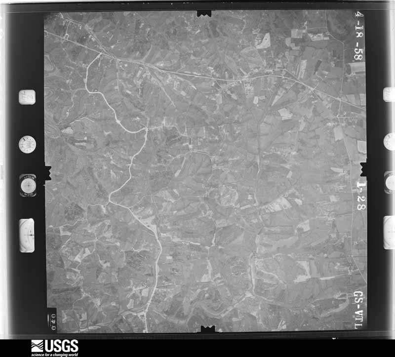
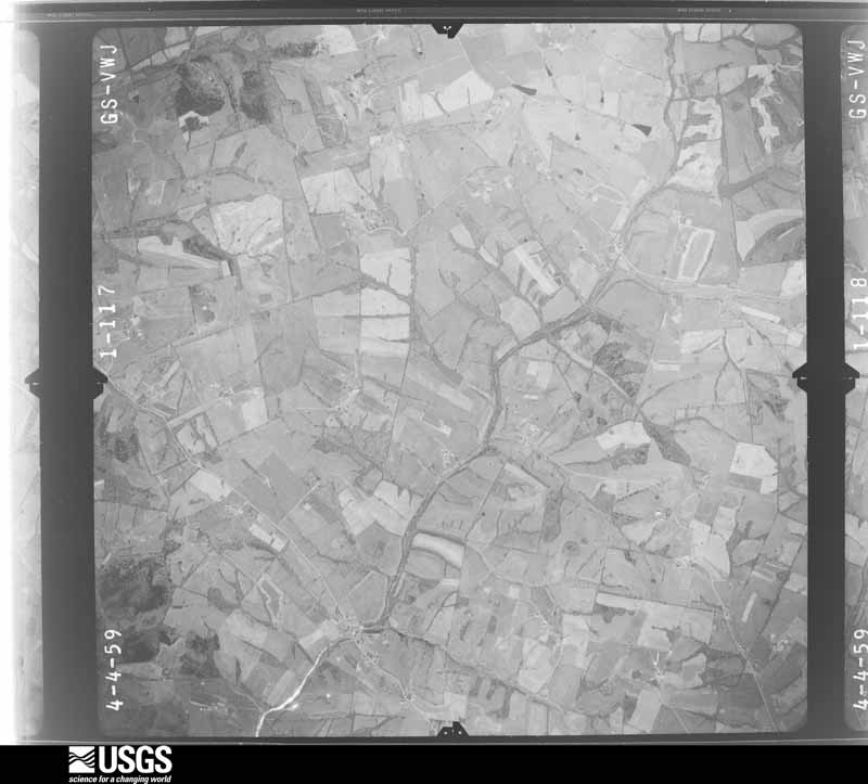
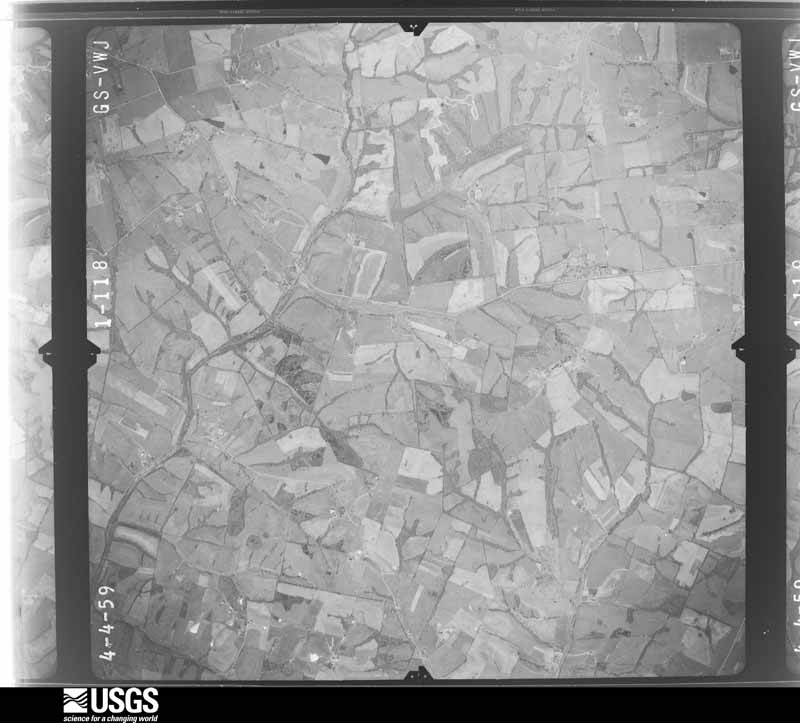
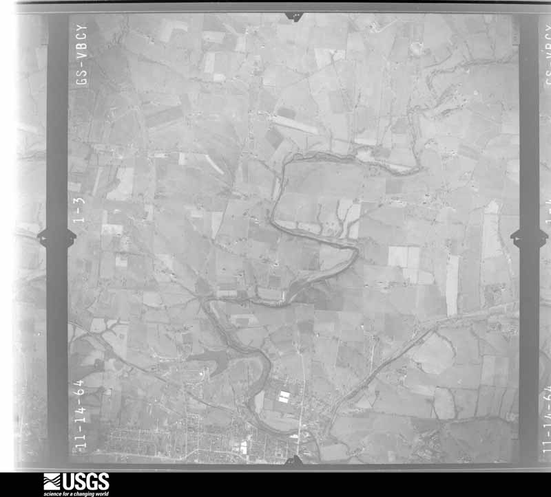
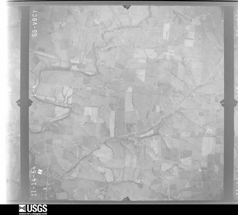
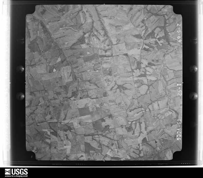
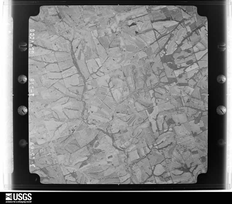
Flown by the U.S. Geological Survey between 1937 and 1989, the Aerial Photo Single Frames collection is the definitive mid-century view of the land: fields, roads and rivers as the camera saw them. The Survey holds 1,379 frames inside the rectangle that bounds this county; the 32 frames below were taken over the county itself, chosen across the decades of flights (at most four a year from that rectangle), so one flight cannot crowd out the rest. The full set is free to browse and download at EarthExplorer under the dataset Aerial Photo Single Frames.
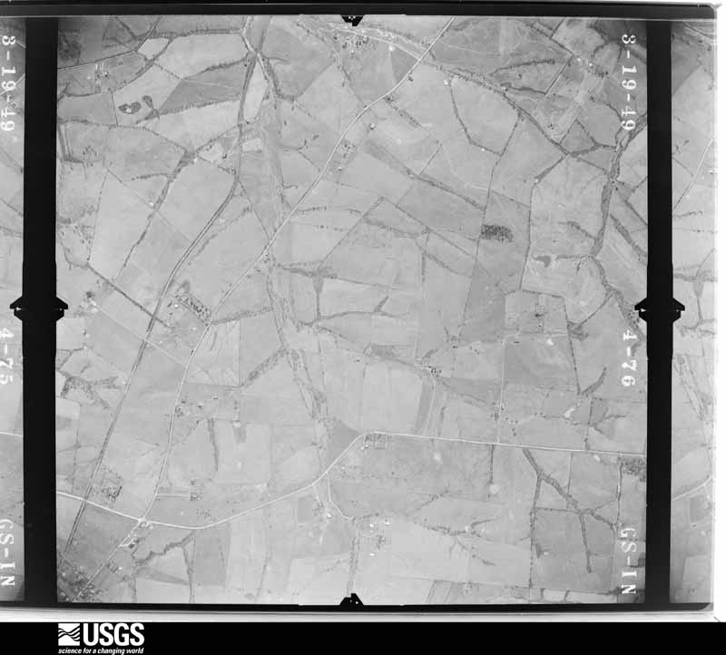
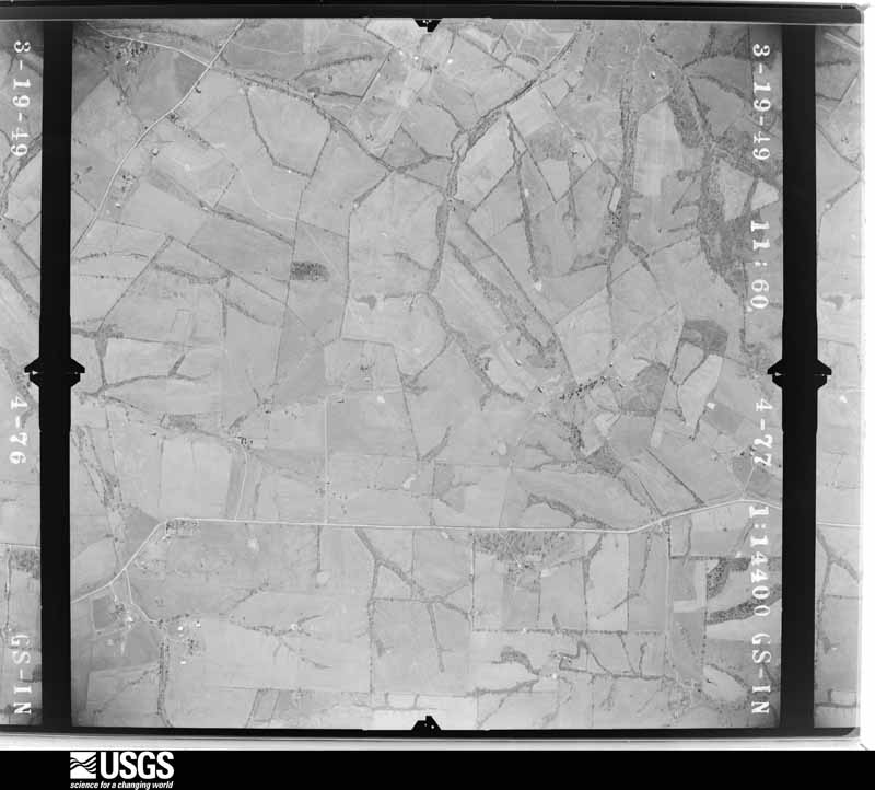
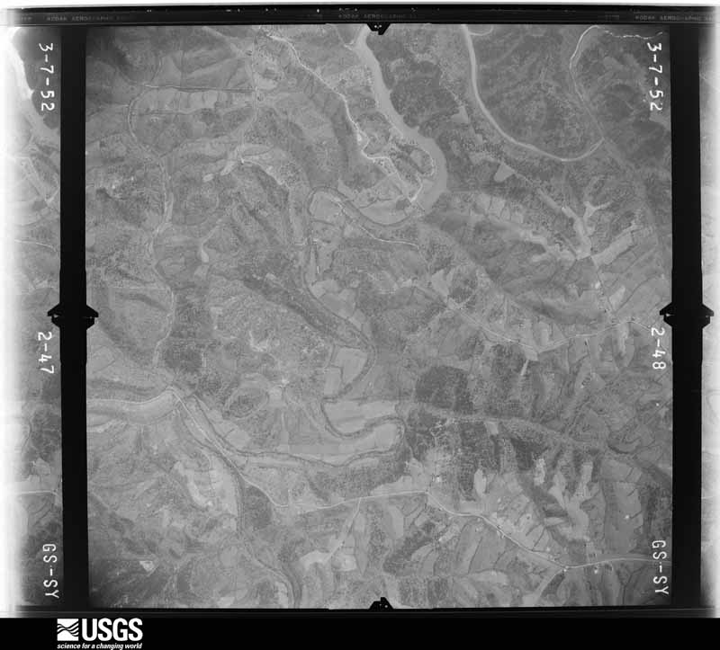
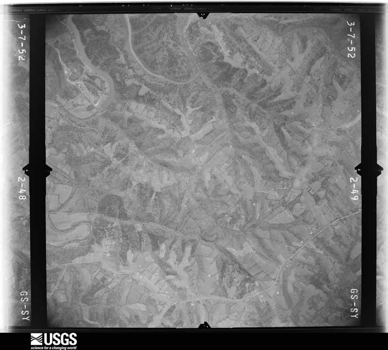
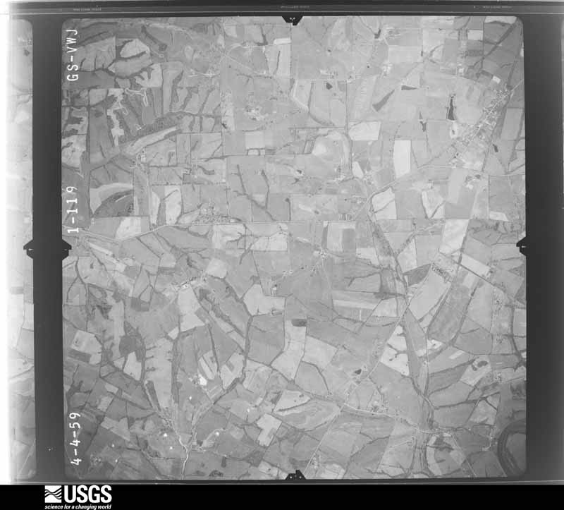
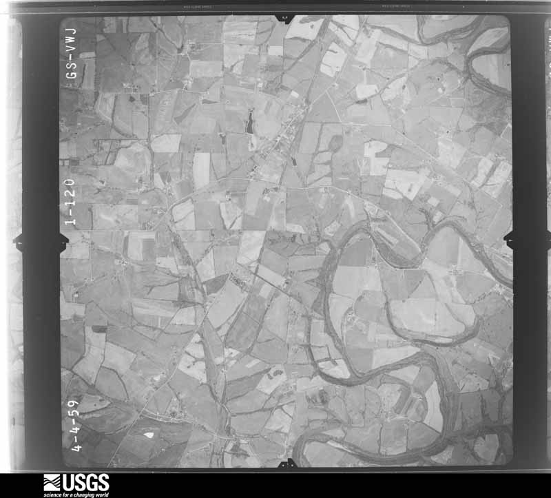
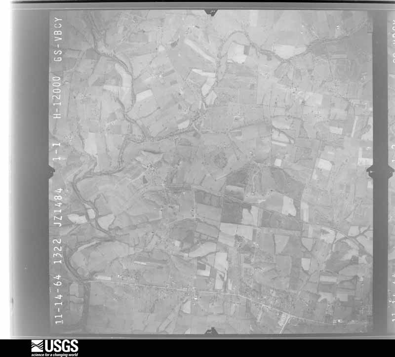
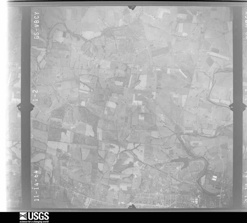
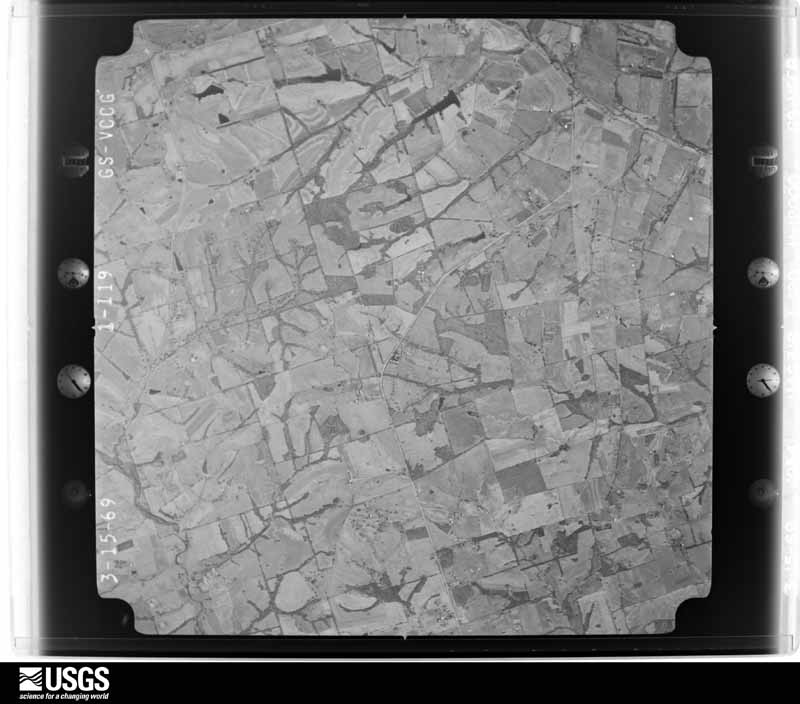
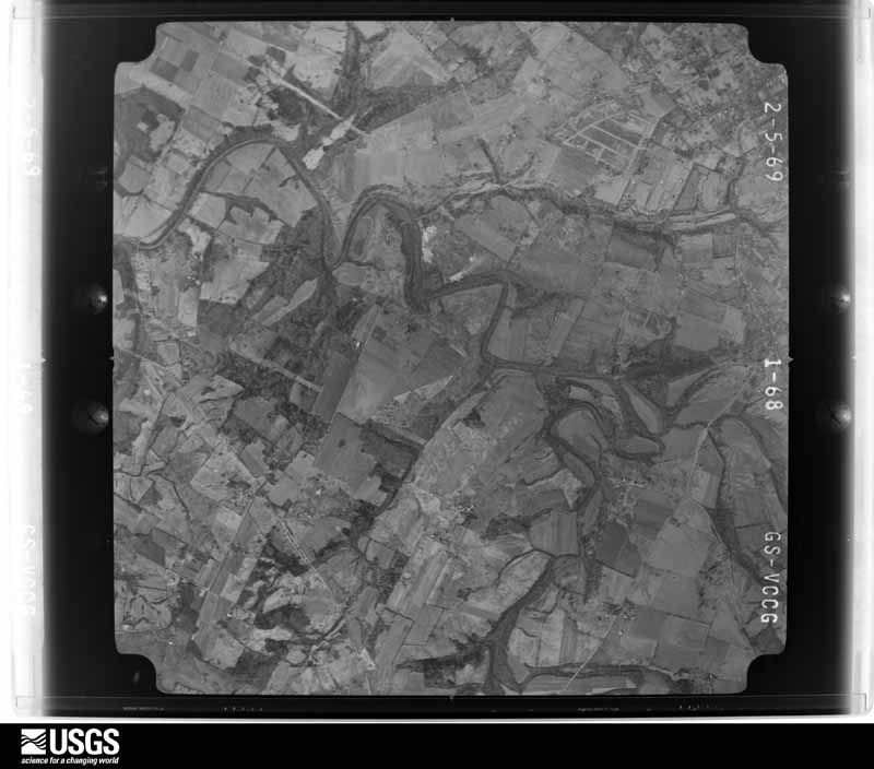
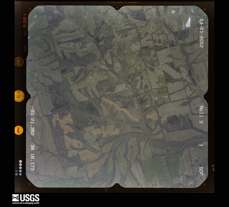
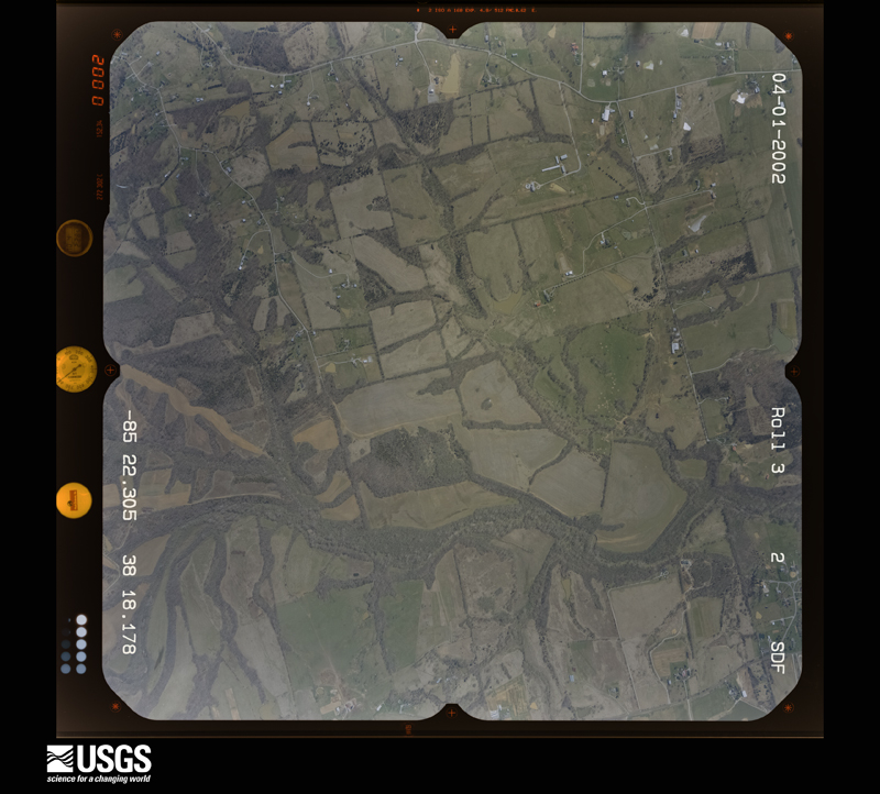
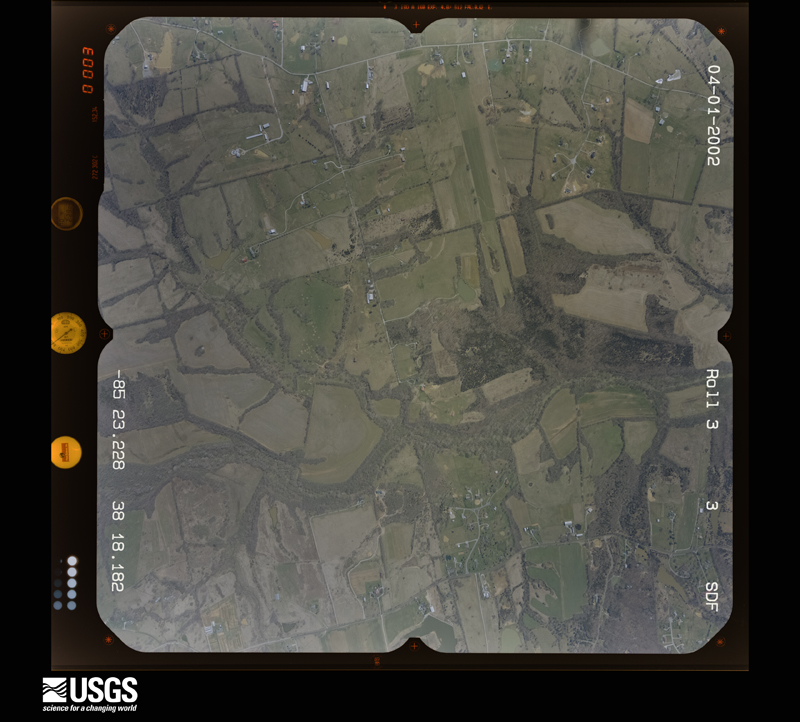
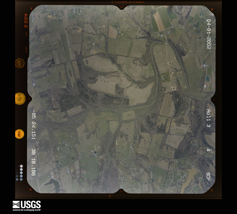
The thermometers that kept this county's weather, and the gages that measured the flow of its streams, as the federal records hold them. The extremes below are measured values from those records, not estimates.
Who lived here in 1950, one enumeration district at a time, as the Census Bureau described each district. Each row opens its official National Archives result, with Population Schedules and ED Maps available there.
Every wildfire the federal occurrence database records inside this county: 14 of them, burning about 80 acres. None started naturally and none was recorded as arson. Each settlement page carries the fires within five miles of it.
| Reported cause | Fires |
|---|---|
| Missing data/not specified/undetermined | 9 |
| Recreation and ceremony | 3 |
| Debris and open burning | 2 |
The five largest, by the area the report gives. None of them was recorded as arson.
| Date | Cause | Size | Reported by | Name on the report |
|---|---|---|---|---|
| 29 February 2004 | Missing data/not specified/undetermined | 20 acres | Kentucky Division of Forestry | not named |
| 16 February 2009 | Recreation and ceremony | 12 acres | Kentucky Division of Forestry | not named |
| 15 September 2007 | Missing data/not specified/undetermined | 10 acres | Kentucky Division of Forestry | not named |
| 24 September 2010 | Debris and open burning | 8.0 acres | Kentucky Division of Forestry | LEWIS FIRE |
| 16 August 1999 | Debris and open burning | 7.0 acres | Kentucky Division of Forestry | not named |
| 8 November 2005 | Missing data/not specified/undetermined | 5.0 acres | Kentucky Division of Forestry | not named |
| 12 November 2005 | Missing data/not specified/undetermined | 5.0 acres | Kentucky Division of Forestry | not named |
| 12 November 2005 | Missing data/not specified/undetermined | 3.0 acres | Kentucky Division of Forestry | not named |
Every settlement page carries the fires within five miles of it - see the settlement index below.
The NOAA Storm Events Database holds 325 reports for this county, causing 3 deaths, 8 injuries and about $38,324,500 in recorded property damage. Each settlement page carries the reports that name it.
| Kind of event | Reports |
|---|---|
| Thunderstorm Wind | 200 |
| Hail | 64 |
| Flash Flood | 25 |
| Tornado | 19 |
| Flood | 11 |
| Lightning | 4 |
| Heavy Rain | 2 |
The most serious of them, by death, then injury, then recorded damage. The accounts are quoted exactly as the forecast office filed them.
| When | Event | Place named | Harm | What the report says |
|---|---|---|---|---|
| March 1997 | Flash Flood | Countywide | 1 killed, $1,200,000 | no account filed |
| June 2009 | Lightning | Shelbyville | 1 killed | A 44-year old main died Monday, June 15th after being struck by lightning at his workplace on Wednesday, June 10th. The man was standing outside waiting to be picked up from work when his coworkers heard a very loud boom and looked out to find him laying on the ground beneath the tree. Coworkers and emergency workers performed CPR on the man but he died five days later due to multiple organ failure according to local news reports. |
| August 2005 | Lightning | Simpsonville | 1 killed | no account filed |
| March 1982 | Tornado (F2) | not stated | 8 hurt, $25,000,000 | no account filed |
| June 1992 | Tornado (F1) | not stated | $2,500,000 | no account filed |
| June 1990 | Tornado (F2) | not stated | $2,500,000 | no account filed |
| June 1985 | Tornado (F0) | not stated | $2,500,000 | no account filed |
| March 1982 | Tornado (F2) | not stated | $2,500,000 | no account filed |
| June 1989 | Tornado (F1) | not stated | $250,000 | no account filed |
| June 1979 | Tornado (F1) | not stated | $250,000 | no account filed |
| March 1964 | Tornado (F2) | not stated | $250,000 | no account filed |
| February 2008 | Thunderstorm Wind | Joyes | $200,000 | Straight line winds destroyed several large barns and uprooted several trees on Mt. Eden Road south of Interstate 64. |
| February 2008 | Thunderstorm Wind | Joyes | $200,000 | Straight line winds destroyed several large barns uprooted trees on Hebron Road near Scott Station and Harrington Mill Roads. |
| February 2008 | Tornado (EF2) | Vigo | $175,000 | Most of the damage caused by this tornado was concentrated in the Flood Road area, as it intensified while moving to the northeast. The tornado destroyed a large, well built barn, and threw the structure 50 yards. It moved an 18 thousand pound trailer four feet, and flipped it. Another barn was destroyed, and every shingle was blown off a well constructed roof top. Several other homes suffered some degree of roof damage. Besides the structural damage, around 40 large hardwood trees were uprooted along the path. |
| May 2004 | Thunderstorm Wind | Peytona | $100,000 | Two houses were heavily damaged by thunderstorm winds. |
| May 2010 | Flood | Shelbyville | $75,000 | Four to six inches of rain across Shelby county May 1-2 led to areal flooding in spots across the county on the 2nd. |
| February 2008 | Tornado (EF0) | Waddy | $60,000 | The tornado destroyed a large barn. Sheet metal from the barn was thrown over 300 yards, and some metal from the barn was 50 yards to the west. |
| May 2008 | Thunderstorm Wind | Cropper | $50,000 | Thunderstorm winds damaged the fire station in Bagdad. Trees and power lines were downed between Bagdad and Cropper. |
| June 2007 | Thunderstorm Wind | Waddy | $50,000 | A barn was blown down. |
| November 1993 | Thunderstorm Wind | not stated | $50,000 | Trees were uprooted and power lines were blown down four miles north of Shelbyville. |
| August 2013 | Hail | Simpsonville | $30,000 | Local media reported golf-ball sized hail that fell from a supercell in Simpsonville. |
| October 2002 | Thunderstorm Wind | Shelbyville | $30,000 | Trees were downed in Shelbyville. A truck was blown on to a liquid propane tank. |
| April 1996 | Thunderstorm Wind | Finchville | $30,000 | no account filed |
| March 2012 | Tornado (EF1) | Finchville | $25,000 | This tornado touched down 1.6 miles east-southeast of Finchville just north of the end of Duvall Lane. It then traveled north-northeast and produced a track of just over 2 miles over mainly plowed field and strips of forest. Two barns were destroyed. Two other barns has much of their roofs removed. In one case, portions of the roof were strewn downwind across a field and became lodged within a grove of trees. More than two dozen trees were snapped or uprooted. It lifted 1 mile south of the intersection of Taylorsville Road and Interstate 64. |
| August 2006 | Thunderstorm Wind | Shelbyville | $25,000 | A semi trailer was blown over. |
| August 2006 | Thunderstorm Wind | Shelbyville | $25,000 | Siding was blown off a grocery store building. A couple other buildings had roof damage. |
| August 2006 | Thunderstorm Wind | Shelbyville | $25,000 | The roof was blown off a barn. |
| April 2005 | Thunderstorm Wind | Waddy | $25,000 | Thunderstorm winds did unspecified structural damage to a home. |
| February 1951 | Tornado (F2) | not stated | $25,000 | no account filed |
| June 2015 | Thunderstorm Wind | Shelbyville | $20,000 | A broadcast meteorologist relayed a report that numerous trees were down in Shelby County. Some of the downed trees blocked roads in the area and one tree fell on a house, briefly trapping the individuals inside. No injuries were reported. |
| July 1995 | Thunderstorm Wind | Finchville | $20,000 | Two houses damaged by trees. A barn lost part of a roof. All damage occurred from one mile North of Finchville to Logan State Road. Report from Shelby County Department of Emergency Service and HAM Radio spotter. |
| July 2018 | Thunderstorm Wind | Shelbyville | $15,000 | There was a report of power lines down in Shelbyville. |
| August 2013 | Thunderstorm Wind | Simpsonville | $15,000 | The local emergency manager reported that a large tree fell on a house in Simpsonville. |
| May 1996 | Thunderstorm Wind | Shelbyville | $15,000 | no account filed |
| August 2021 | Lightning | Finchville | $10,000 | There was a structure fire caused by a lightning strike. Cost of damage is unknown. |
| July 2014 | Thunderstorm Wind | L S Park | $10,000 | Local law enforcement reported a tree down on a house in eastern Shelby County. Several other trees fell across the county. The Kentucky Mesonet site located 10 miles west of Shelbyville recorded a 49 mph wind gust. |
| June 2013 | Thunderstorm Wind | Cropper | $10,000 | The county emergency manager reported several power poles down on Pleasureville Road. |
| August 2013 | Hail | L S Park | $10,000 | Hail up to 1.5 inches in diameter was reported along Clark Station Road between Fisherville and Eastwood. |
| February 2011 | Thunderstorm Wind | Cropper | $10,000 | A large tree fell on a car on Ellis Rd. just south of the Henry county line. Several other trees were downed in the same location. |
| May 2005 | Flash Flood | Countywide | $10,000 | Dover Road and Clora Jackson Road in Shelbyville were closed due to high water. Numerous other roads around the county were closed. Some vehicles were trapped by high water, but no injuries were reported. |
| July 1996 | Thunderstorm Wind | Finchville | $10,000 | no account filed |
| August 2011 | Thunderstorm Wind | Simpsonville | $5,000 | A spotter reported numerous trees down in the Simpsonville and Todd's Point areas. Strong winds destroyed 3 of 4 bay doors at the Simpsonville Fire Station. |
| June 2009 | Lightning | Simpsonville | $5,000 | Lightning struck a house and started a structural fire. |
| June 1973 | Tornado (F1) | not stated | $2,500 | no account filed |
| August 2013 | Flash Flood | Junte | $2,000 | Shelby County Road Department reported that quite a bit of vegetative debris was left on several roads in the morning from flash flooding that developed shortly after midnight. Two of these were Cap Ridge and Little Crooked Creek, both located around 4 miles north of Mount Eden. |
| January 2012 | Thunderstorm Wind | Chestnut Grove | $2,000 | A member of the public reported damage to a barn. Trees were twisted and part of a silo was missing at a farm along Highway 53 in north Shelby County. |
| April 2014 | Thunderstorm Wind | Snow Hill | $1,000 | Several reports arrived from Shelbyville of damage associated with thunderstorm winds. A report arrived via Facebook of a tree down in downtown Shelbyville, and local media reported damage to a resident's skylight in northern Shelbyville. A home weather station 2 miles southeast of town measured a 50 mph wind gust. |
| March 2006 | Thunderstorm Wind | Countywide | $1,000 | Trees were blown down in Shelbyville and Simpsonville. A gas pump was blown over in Simpsonville. |
| November 1996 | Thunderstorm Wind | Eminence | $1,000 | no account filed |
| April 2026 | Thunderstorm Wind | Conner | - | There was one white pine uprooted and four white pines with snapped trunks on Lincoln Run Road. |
| April 2026 | Thunderstorm Wind | Vigo | - | A barn was destroyed and power poles were bent. |
| April 2026 | Thunderstorm Wind | Chestnut Grove | - | There was tree damage off of Hinkle Lane. |
| June 2025 | Thunderstorm Wind | Peytona | - | A tree was blown down by strong thunderstorm winds on Bob Rogers Road. |
| June 2025 | Thunderstorm Wind | Figgs | - | Multiple large branches were blown down and power lines were snapped by strong thunderstorm winds along Figgs Store Road. |
| April 2025 | Thunderstorm Wind | Chestnut Grove | - | A shed collapsed and was thrown about a quarter of a mile near the 8200 block of Dover Road. |
| April 2025 | Flash Flood | Chestnut Grove | - | Water was flowing over Lucas Road near Drane Lane. |
| April 2025 | Flash Flood | Cropper | - | Water was flowing over Eminence Pike near Drane Lane. |
| July 2025 | Flash Flood | Snow Hill | - | Water was over the roadway at the intersection of Washington Street and 9th Street in Shelbyville. |
| May 2024 | Thunderstorm Wind | Joyes | - | Multiple trees were downed by strong winds in a yard off of U.S. Route 60 and Scott Station Road. |
| July 2024 | Thunderstorm Wind | Waddy | - | Trees down on Hickory Ridge Road between Ditto Road and Kings Highway in Waddy. |
The Survey's mineral resources record lists 1 working inside this county. It is closed or unrecorded. Each settlement page carries the workings within five miles of it.
| Commodity | Workings |
|---|---|
| Aluminum | 1 |
The least common of them first, because a county's hundredth gravel pit says nothing its first ten did not.
| Where | Site | Commodity | Status | Recorded |
|---|---|---|---|---|
| Ohio Valley Aluminum/Shelbyville Ky | Aluminum | Unknown |
Named settlements recorded in the Geographic Names Information System, each with the topographic sheets covering it. Villages, hamlets and abandoned places alike. Each is shown with the nearest named watercourse or landform and the survey quadrangle it falls on. The 1 place that was also surveyed for fire insurance comes first, with the number of atlases and photographs held for them.
Shelbyville census division · 40065 · On Mulberry Creek · Shelbyville quadrangle
14 sheets, 1923 to 1986
Fire insurance: 8 atlases
Christianburg census division · 40003 · North Pleasureville quadrangle
10 sheets, 1928 to 1986
Shelbyville census division · 40065 · Ballardsville quadrangle
10 sheets, 1932 to 1986
Christianburg census division · 40065 · North Pleasureville quadrangle
10 sheets, 1928 to 1986
Harrisonville census division · 40065 · Near Jeptha Knob · Waddy quadrangle
13 sheets, 1923 to 1986
Simpsonville census division · 40067 · On Big Long Run · Fisherville quadrangle
12 sheets, 1929 to 1986
Christianburg census division · 40003 · North Pleasureville quadrangle
10 sheets, 1928 to 1986
Christianburg census division · 40065 · North Pleasureville quadrangle
10 sheets, 1928 to 1986
Christianburg census division · 40057 · North Pleasureville quadrangle
10 sheets, 1928 to 1986
Shelbyville census division · 40065 · On Wise Run · Taylorsville quadrangle
11 sheets, 1929 to 1986
Simpsonville census division · 40245 · Crestwood quadrangle
12 sheets, 1932 to 1986
No longer a settlement
Harrisonville census division · 40076 · On Goose Creek · Waddy quadrangle
13 sheets, 1923 to 1986
Harrisonville census division · 40076 · Near Pea Ridge · Glensboro quadrangle
9 sheets, 1923 to 1986
Harrisonville census division · 40076 · On Waddy Branch · Waddy quadrangle
13 sheets, 1923 to 1986
Shelbyville census division · 40065 · On Britton Run · Shelbyville quadrangle
14 sheets, 1923 to 1986
Christianburg census division · 40003 · On Goose Creek · North Pleasureville quadrangle
10 sheets, 1928 to 1986
Shelbyville census division · 40065 · On Little Bullskin Creek · Simpsonville quadrangle
11 sheets, 1929 to 1986
Harrisonville census division · 40076 · Near Pea Ridge · Glensboro quadrangle
9 sheets, 1923 to 1986
Simpsonville census division · 40067 · On Big Long Run · Fisherville quadrangle
12 sheets, 1929 to 1986
Simpsonville census division · 40067 · On Big Long Run · Fisherville quadrangle
12 sheets, 1929 to 1986
Shelbyville census division · 40065 · Near Snow Hill · Shelbyville quadrangle
14 sheets, 1923 to 1986
Simpsonville census division · 40067 · On Little Bullskin Creek · Simpsonville quadrangle
11 sheets, 1929 to 1986
Christianburg census division · 40003 · On Goose Creek · North Pleasureville quadrangle
10 sheets, 1928 to 1986
No longer a settlement
Christianburg census division · 40003 · On Burg Creek · North Pleasureville quadrangle
10 sheets, 1928 to 1986
Shelbyville census division · 40065 · On Meadow Run · Simpsonville quadrangle
11 sheets, 1929 to 1986
Shelbyville census division · 40065 · Mount Eden quadrangle
12 sheets, 1923 to 1986
No longer a settlement
Shelbyville census division · 40065 · On Mulberry Creek · Shelbyville quadrangle
14 sheets, 1923 to 1986
Simpsonville census division · 40071 · On Wise Run · Taylorsville quadrangle
11 sheets, 1929 to 1986
The vanished settlements of Shelby County: the places named above that are no longer on the map.
14 topographic sheets and 8 fire insurance atlases, 1886 to 1948
The complete index, with nothing left out. Each of these is a separate record with its own page: a federal survey report, or the case file that argued a property on to the National Register. Both are public domain and reproduced word for word.
The vanished settlements of Shelby County, the places these records name that are no longer on the map.