 Block
Kuttawa, Kentucky
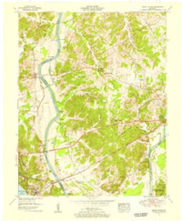
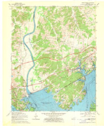
20 topographic sheets cover this place, the earliest surveyed in 1928 and the latest in 1993. It stands in the Eddyville census division. It lies in ZIP code area 42055. It stands on Poplar Creek. The Survey maps it on the Grand Rivers quadrangle. 629 people lived here at the 2020 count. It stands 449 feet above sea level.
Research this city
Population over time
2 figuresKuttawa fell from 649 to 629 between 2010 and 2020. These are the recorded population figures Wikidata holds for this place, reached through the Geographic Names Information System number this page is keyed on rather than by name, so they belong to this place and not to another of the same name. Most are census counts, but not all are: an early figure may be a founding or settlement estimate, and an estimate published within five years of a census is left out. The change column is computed, and is left blank where more than 20 years separate a figure from the one before it, because a gap that long is not a change between two counts.
| Year | People | Change |
|---|---|---|
| 2010 | 649 | |
| 2020 | 629 | -20 (-3%) |
Topographic sheets covering this place
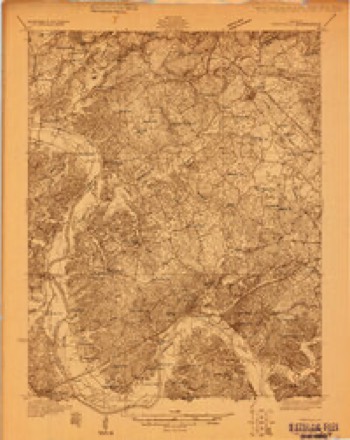
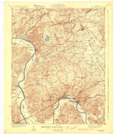
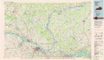
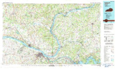
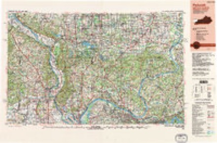
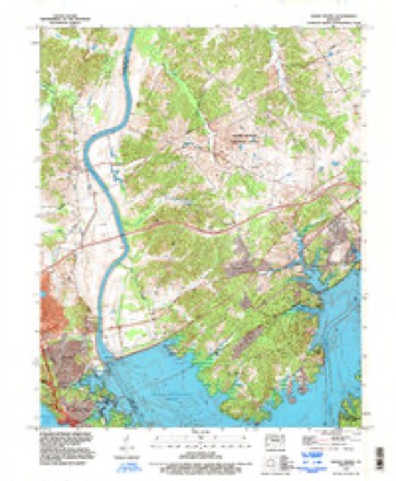
16 surveys from 20 printed sheetsMatched by testing this settlement's coordinate against the published boundary of every sheet in the United States Geological Survey's historical collection. Each opens the scanned sheet at the Survey.
- 1928 USGS Eddyville quadrangle1:48000
- 1931 USGS Eddyville quadrangle1:62500
- 1936 USGS Eddyville quadrangle1:48000
- 1936 USGS Grand Rivers quadrangle1:24000
- 1949 USGS Paducah quadrangle1:250000, 2 printings
- 1950 USGS Paducah quadrangle1:250000
- 1954 USGS Paducah quadrangle1:250000, 2 printings
- 1955 USGS Eddyville quadrangle1:62500
- 1955 USGS Grand Rivers quadrangle1:24000
- 1961 USGS Paducah quadrangle1:250000, 2 printings
- 1964 USGS Paducah quadrangle1:250000, 2 printings
- 1967 USGS Grand Rivers quadrangle1:24000
- 1984 USGS Paducah quadrangle1:100000
- 1986 USGS Paducah quadrangle1:100000
- 1987 USGS Paducah quadrangle1:250000
- 1993 USGS Grand Rivers quadrangle1:24000
Fires near this place
26 since 1997Regional context, not property-specific evidence. The federal wildfire occurrence database lists 26 fires within 5 miles of Kuttawa between 1997 and 2020, burning about 96 acres in total. None started naturally. 1 was recorded as arson. Distance is straight-line from the map coordinates, so a fire counted here may appear on a neighbouring settlement's page as well.
| Reported cause | Fires |
|---|---|
| Missing data/not specified/undetermined | 12 |
| Recreation and ceremony | 6 |
| Railroad operations and maintenance | 4 |
| Debris and open burning | 2 |
| Arson/incendiarism | 1 |
| Smoking | 1 |
The most recent of them, most recent first, with the day each was reported and the service that recorded it.
| Date | Cause | Size | Reported by | Name on the report |
|---|---|---|---|---|
| 6 September 2010 | Recreation and ceremony | 1.0 acres | Land Between the Lakes National Recreation Area | WILCOX CEMETERY |
| 7 August 2010 | Recreation and ceremony | 1.0 acres | Kentucky Division of Forestry | LAM HEAT |
| 25 July 2002 | Railroad operations and maintenance | 1.0 acres | Kentucky Division of Forestry | not named |
| 22 June 2005 | Missing data/not specified/undetermined | 2.0 acres | Kentucky Division of Forestry | not named |
| 4 April 2005 | Missing data/not specified/undetermined | 8.0 acres | Kentucky Division of Forestry | not named |
| 1 April 2015 | Recreation and ceremony | 5.0 acres | Kentucky Division of Forestry | POPLAR CR. RD FIRE |
| 1 April 2003 | Missing data/not specified/undetermined | under an acre | Kentucky Division of Forestry | not named |
| 8 March 2010 | Smoking | 1.0 acres | Kentucky Division of Forestry | not named |
Settlements close enough to share some of these fires:
Storms near this place
42 since 1995Regional context, not property-specific evidence. The National Weather Service names Kuttawa in 42 storm reports between 1995 and 2025: 15 thunderstorm wind, 8 hail, 7 flood, 4 tornado. No death or injury is recorded in these reports. Each account below is quoted exactly as the forecast office filed it, from the NOAA Storm Events Database, and each date opens the federal record of that event.
| When | Event | Place named | Harm | What the report says |
|---|---|---|---|---|
| July 2022 | Thunderstorm Wind | Kuttawa | $3,000,000 | The community of Kuttawa was struck by a microburst that downed numerous trees. Some of the trees were two to three feet in diameter. Extensive damage occurred at Kuttawa Harbor. Numerous boats and docks were damaged in the harbor. Three docks were extensively damaged. |
| March 2020 | Thunderstorm Wind | Kuttawa | $500,000 | A microburst with estimated peak winds near 85 mph heavily damaged a marina on Lake Barkley. A dock was heavily damaged with the metal flooring beams bent, along with damage to many metal vertical supports and the metal roof. A relatively small portion of the roofing was blown off. One boat was blown off a lift, and the boat was partially submerged. The microburst was about one-quarter mile long and 200 yards wide. |
| November 2005 | Tornado (F2) | Kuttawa | $500,000 | The tornado entered Lyon County from Marshall County as it crossed Kentucky Lake. The tornado reached the lakeshore at Hillman Ferry campground, within the Land Between The Lakes (LBL) National Recreation Area. The tornado then moved east-northeast across the forests of LBL, producing a narrow swath of downed trees. After exiting LBL and crossing Lake Barkley, the tornado struck a subdivision on the east side of the lake. Damage to the well-constructed homes in this subdivision was estimated to be the result of F-2 winds. The tornado proceeded east-northeast across Interstate 24, passing near the 46-mile marker, before lifting at the community of Saratoga. |
| May 2024 | Tornado (EF2) | Kuttawa | $180,000 | An EF-3 tornado (peak of EF-2 in Lyon County) began northeast of Eddyville on the west side of US-641N. The tornado tracked northeastward, strengthening rapidly and producing EF-2 damage off of Beck Rd. The tornado crossed into Caldwell County while collapsing a barn just north of Pleasant Valley Rd. Peak estimated winds for the Lyon County portion of the tornado were 115 mph. |
| April 2011 | Tornado (EF1) | Kuttawa | $150,000 | The tornado uprooted trees and snapped branches. The tornado struck a marina on Lake Barkley. There was substantial damage to boat docks and to the roofing of one home. One boat capsized. Peak winds were estimated near 90 mph. The path width was only 30 yards on average. |
| June 1997 | Flash Flood | Kuttawa | $100,000 | Thunderstorms moved repeatedly over the same parts of western Lyon County. Radar estimated about 3 inches of rain fell in a few hours. Some homes were flooded, and a road was partially washed out. A trailer park was evacuated. |
| February 2018 | Flood | Kuttawa | $75,000 | Kentucky Highway 295 near the bluff at the west end of Old Kuttawa was closed due to a landslide. |
| August 2022 | Thunderstorm Wind | Kuttawa | $50,000 | Multiple trees were down. Significant damage was reported at Iron Hill Campground just southwest of Kuttawa. A woman was briefly trapped, but another resident freed her and she was not injured. Some homes and golf carts in the campground were damaged by fallen trees and limbs. |
| January 2008 | Thunderstorm Wind | Kuttawa | $40,000 | Trees and power lines were blown down countywide. Minor structural damage occurred, mainly to roofs. |
| August 2012 | Thunderstorm Wind | Kuttawa | $30,000 | In Eddyville, a trained spotter heard branches breaking off trees as the power went out. Wind gusts were estimated near 60 mph. In the Kuttawa area west of Eddyville, county road crews were dispatched to clear numerous trees over State Roads 810, 93, 295, and 819. |
| May 2024 | Thunderstorm Wind | Kuttawa | $25,000 | A couple of trees were downed by thunderstorm winds, one falling onto a house in Eddyville. |
| May 2017 | Thunderstorm Wind | Kuttawa | $25,000 | Several trees and power poles were blown down. |
| November 2013 | Tornado (EF1) | Kuttawa | $10,000 | This long-track tornado entered Lyon County from Livingston County. The most intense damage in Lyon County was rated EF-1 with estimated 95 mph peak winds. The damage consisted primarily of uprooted trees. Damage in Lyon County was relatively light since the tornado was in its weakening stage before it lifted. The total path length of this tornado, which started west of Paducah, was 42 miles. |
| June 2006 | Thunderstorm Wind | Kuttawa | $10,000 | Numerous trees were blown down at the Hillman Ferry campground in the Land Between The Lakes National Recreation Area. Some recreational vehicles sustained minor damage, and utility lines were downed. |
| April 2010 | Thunderstorm Wind | Kuttawa | $5,000 | A large sign was blown across Interstate 24. A traffic control barrier was blown onto the road, blocking it. |
| June 2022 | Thunderstorm Wind | Kuttawa | $3,000 | Trees were down on a road just northwest of Eddyville. |
| October 2013 | Thunderstorm Wind | Kuttawa | $2,000 | A few tree limbs were blown down, mainly along Highway 295. |
| July 2024 | Thunderstorm Wind | Kuttawa | $1,000 | A retired NWS employee observed a tree limb downed in a yard and lots of twigs and leaves on U.S. 62 near Suwanee. |
| July 2023 | Thunderstorm Wind | Kuttawa | $1,000 | A tree was blown down near the interchange of I-69 and U.S. Highway 62. |
| February 2025 | Flash Flood | Kuttawa | - | Flash flooding has closed Highway 1943 at Skin Frame Creek and Highway 819 at Panther Creek. Several county roads also flooded in the same areas. |
| February 2025 | Flood | Kuttawa | - | Poplar Creek Road has flooded near Poplar Creek just west of Kuttawa. Bill Thompson Road was flooded at Spring Creek and Joe Peek Road was flooded near Crab Creek. |
| February 2025 | Flood | Kuttawa | - | Flash flooding from the evening of the 15th transitioned to areal flooding early on the 16th. Highways 1943 and 819 remained closed. |
| May 2025 | Hail | Kuttawa | - | Hail estimated at quarter size was reported in Kuttawa. |
| December 2024 | Flood | Kuttawa | - | Water was observed on KY-1943 near the Skinframe Creek bridge. Radar estimated rainfall was around an inch. |
| March 2023 | Flash Flood | Kuttawa | - | Water was running across the road in places. |
| February 2019 | Flood | Kuttawa | - | Several road closures were in place around the county because of flooding. |
| March 2019 | Flood | Kuttawa | - | The level of Lake Barkley was raised to 367 feet, about 8 feet above the normal summer pool stage. Low-lying parks, campgrounds, and marina parking lots near the lake were flooded. Some lake access roads were underwater. |
| August 2015 | Heavy Rain | Kuttawa | - | Several roads across the county were covered with flowing water. |
| January 2013 | Heavy Rain | Kuttawa | - | Water was over a secondary road. |
| April 2011 | Funnel Cloud | Kuttawa | - | A funnel cloud with rotation was reported by state police on Interstate 24 at the Kuttawa exit. Other reports of the funnel cloud were received from Eddyville and the Eddy Creek area. |
| May 2010 | Heavy Rain | Kuttawa | - | A trained spotter reported 2.6 inches of rainfall in the past 24 hours. Standing water was observed on a road. |
| October 2009 | Flood | Kuttawa | - | Kentucky Highway 1943 was closed between the three and four mile markers due to water over the road. |
| July 2006 | Thunderstorm Wind | Kuttawa | - | A boater on Lake Barkley near the mouth of Demumbers Bay reported strong winds that whipped up seven-foot waves. A pontoon boat capsized, sending four people into the water. |
| August 2006 | Thunderstorm Wind | Kuttawa | - | Trees were blown down in the northern parts of the Land Between The Lakes National Recreation Area. Federal officials estimated wind gusts from 55 to 60 MPH. |
| March 2000 | Wildfire | Kuttawa | - | A period of windy, dry, and mild weather resulted in high fire danger during the normal spring fire season, prior to the green-up of forest fuels. A fire burned about 50 acres of woods near Lake Barkley in the vicinity of Kuttawa. About 80 firefighters from Lyon and Caldwell Counties were hampered by steep, rugged terrain. No homes were damaged, and there were no injuries. During the 10-day period leading up to the fire, only one quarter inch of rain fell at Paducah. |
| April 2006 | Hail | Kuttawa | - | no account filed |
| May 2004 | Hail | Kuttawa | - | no account filed |
| August 2003 | Hail | Kuttawa | - | no account filed |
| May 2003 | Hail | Kuttawa | - | no account filed |
| April 2003 | Hail | Kuttawa | - | no account filed |
| May 2002 | Hail | Kuttawa | - | no account filed |
| July 1995 | Hail | Kuttawa | - | no account filed |
Nearest settlements
The eight closest, with where each one stands in the county. Distances are straight-line, computed from the Geographic Names Information System coordinates.
| Map | Place | Distance | Sheets |
|---|---|---|---|
| Suwanee | 1.8 miles | 20 | |
| Carmack | 3.0 miles | 19 | |
| Eddyville | 3.7 miles | 19 | |
| Cross Road | 3.8 miles | 19 | |
| Indian Hills | 4.3 miles | 19 | |
| Fairview | 4.6 miles | 19 | |
| Buena Vista Estates | 5.1 miles | 19 | |
| Eden Bay | 5.3 miles | 19 |
Elsewhere
Matched on this settlement's Geographic Names Information System number rather than its name, so it cannot be a different place of the same name in another state.
| Wikipedia article on Kuttawa | An encyclopaedic summary. Its text is share-alike, so it is linked here rather than copied. |
| Wikidata item Q2513031 | The structured record the population and elevation above come from. Public domain (CC0). |
Provenance
This settlement is recorded in the Geographic Names Information System as feature 495877. The sheet list is computed by point-in-boundary test against the United States Geological Survey's historical topographic inventory. Both are works of the United States government and carry no copyright under 17 U.S.C. 105.
Wildfire. Short, Karen C. 2022. Spatial wildfire occurrence data for the United States, 1992-2020 [FPA_FOD_20221014]. 6th Edition. Fort Collins, CO: Forest Service Research Data Archive. https://doi.org/10.2737/RDS-2013-0009.6 Collected with United States Government funding and usable without additional permissions or fees.
Storms. NOAA National Centers for Environmental Information, Storm Events Database https://www.ncei.noaa.gov/stormevents/ A work of the United States government, no copyright under 17 U.S.C. 105. Narratives are quoted verbatim from the National Weather Service report and are not edited or summarised.