 Block
From the record
2 National Register listings published here.
Sources: the National Register database, National Park Service
66 topographic sheets and 6 fire insurance atlases across 2 places.
2 National Register listings published here.
Sources: the National Register database, National Park Service
Every property in this county listed on the National Register of Historic Places, with the year it was listed and the federal nomination document.
| Photograph | Property | Type | Listed | Reference |
|---|---|---|---|---|
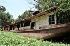 | MAMIE S. BARRETT (towboat) | structure | 1983 | 83002811 |
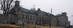 | Old Eddyville Historic District | district | 1981 | 81000285 |
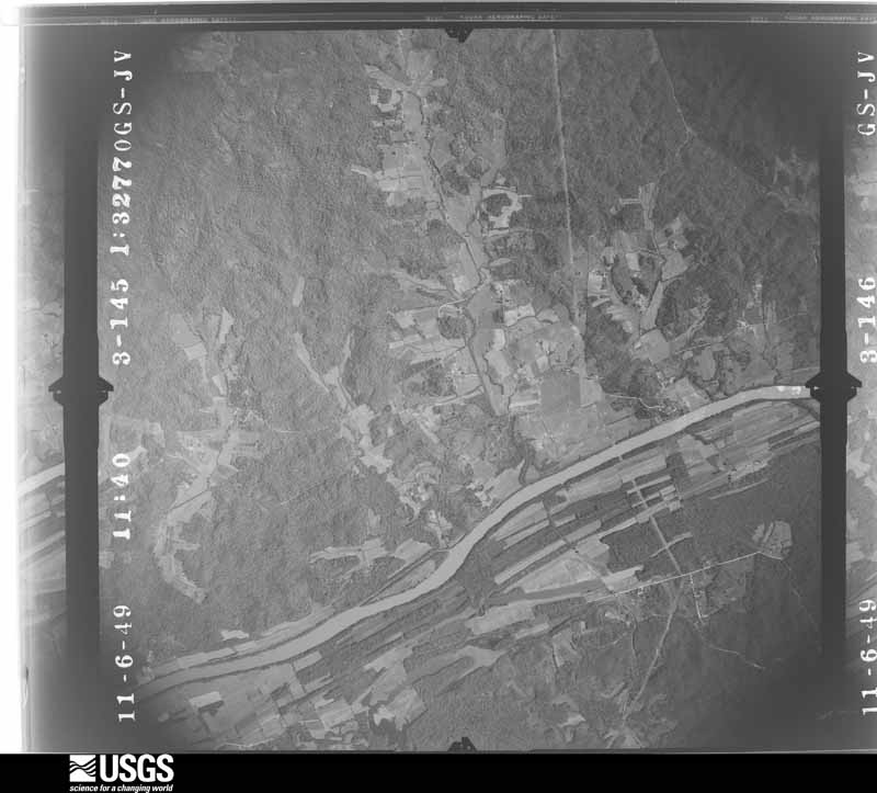
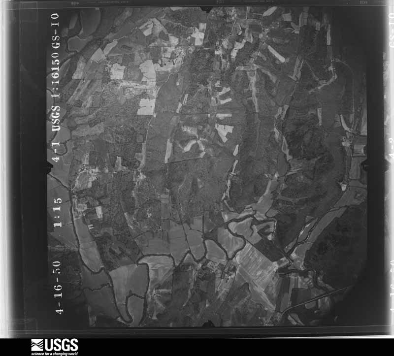
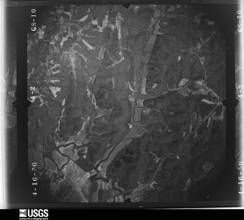
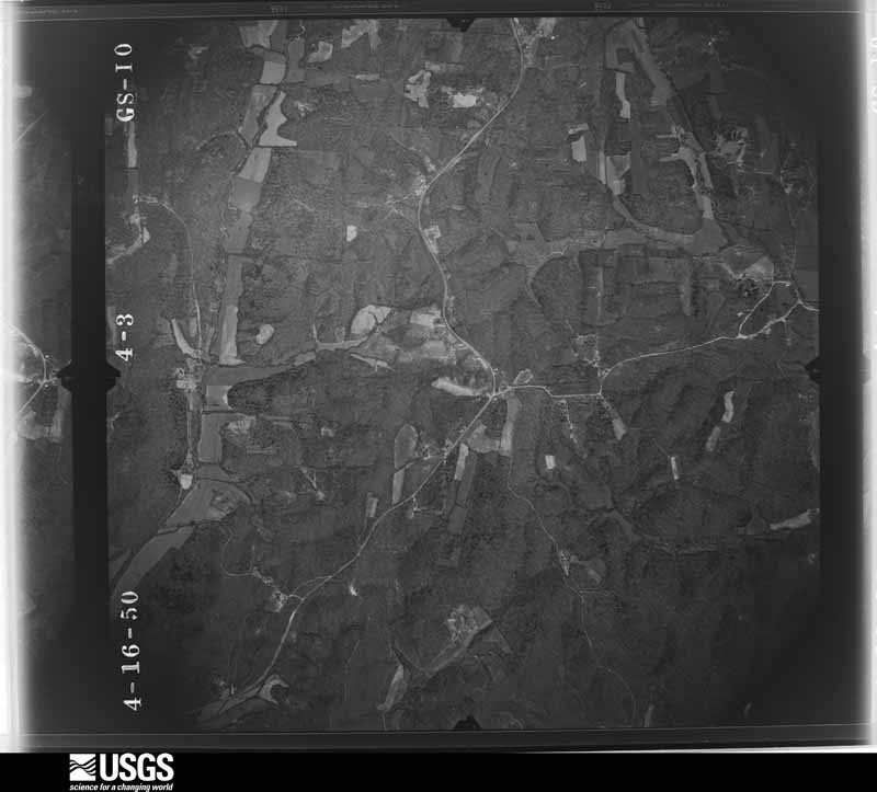
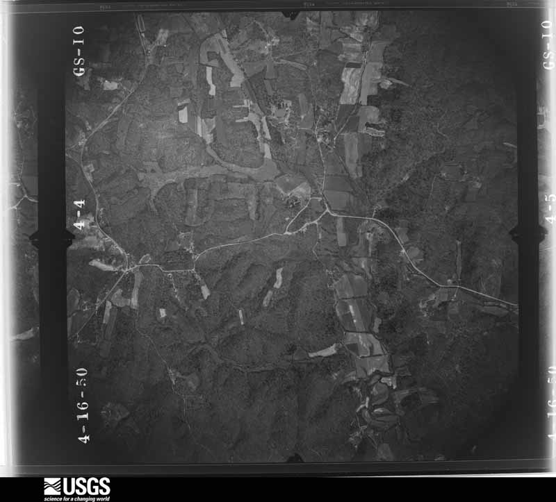
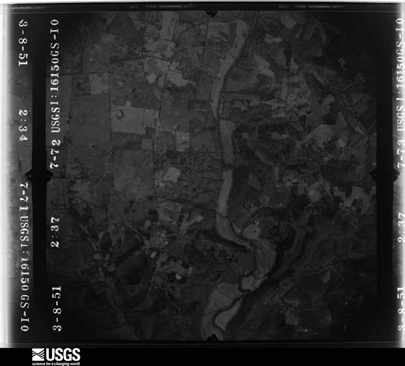
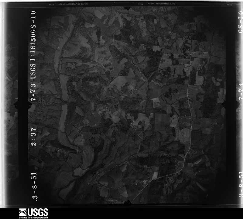
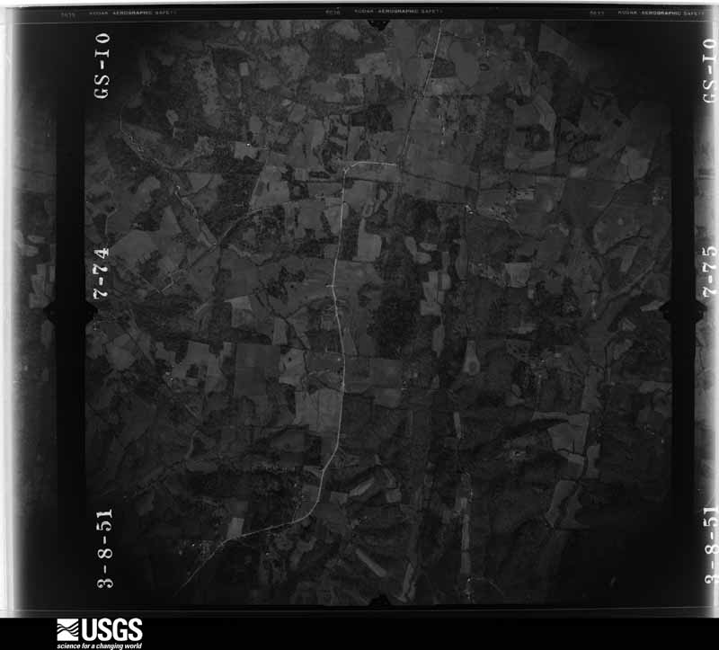
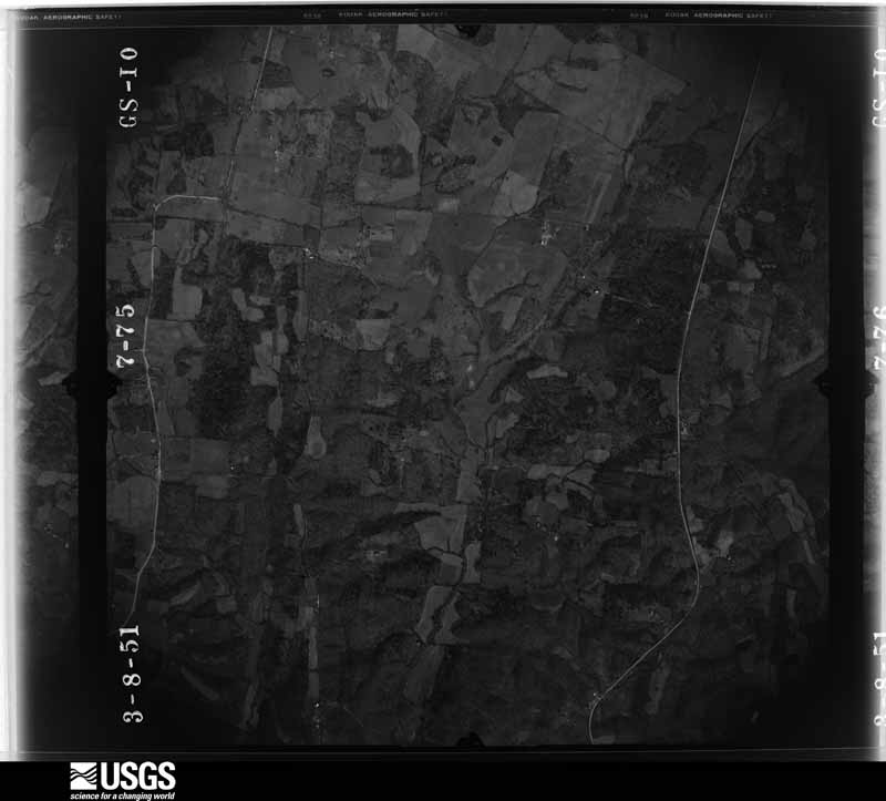
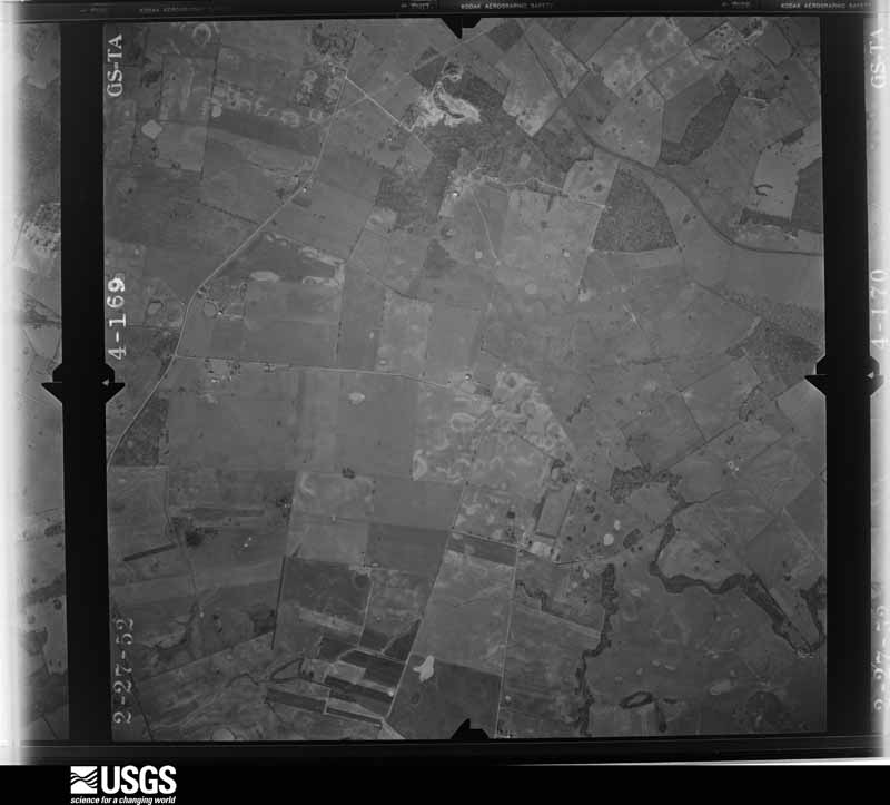
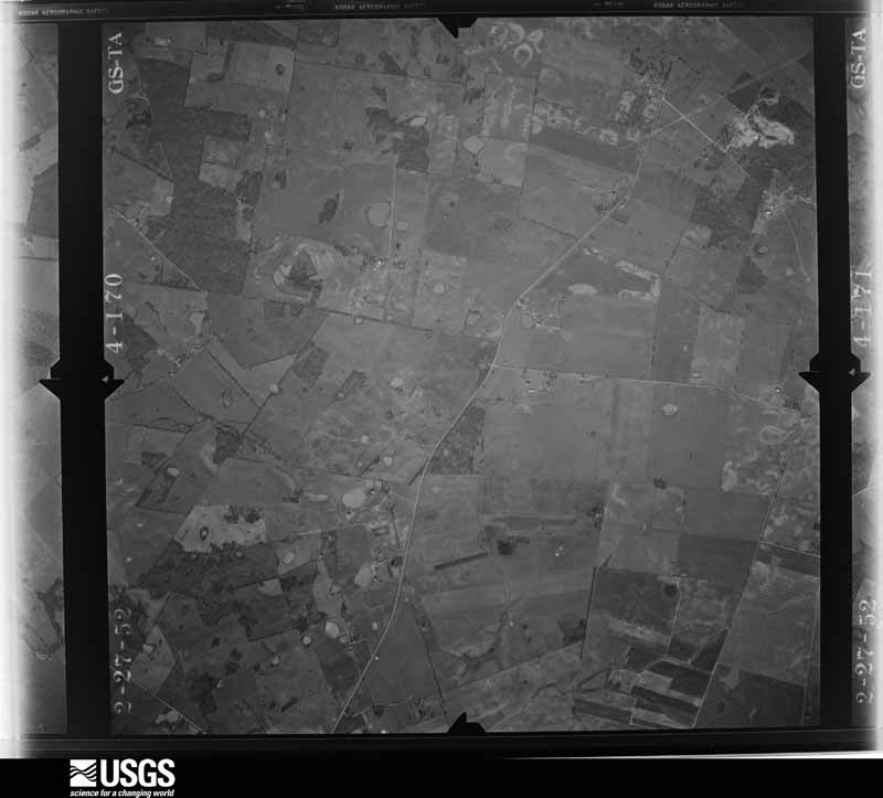
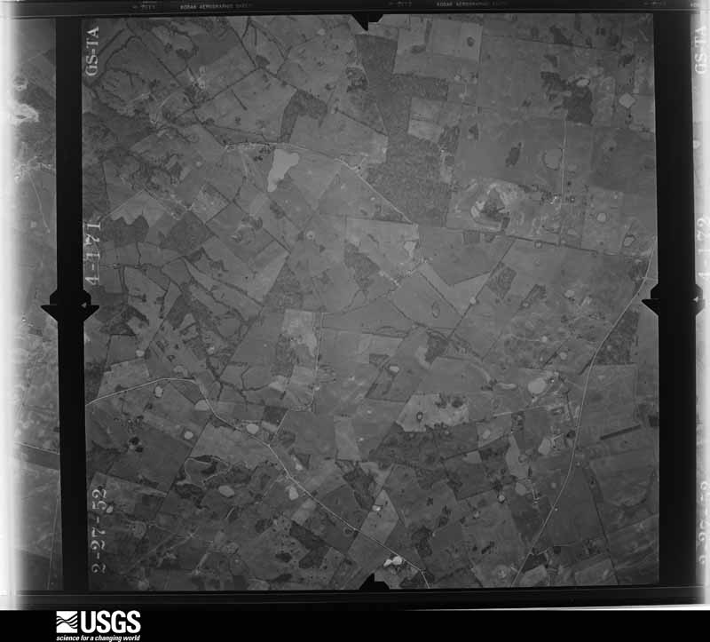
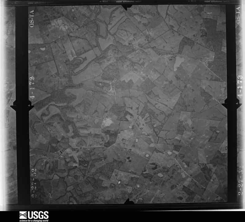
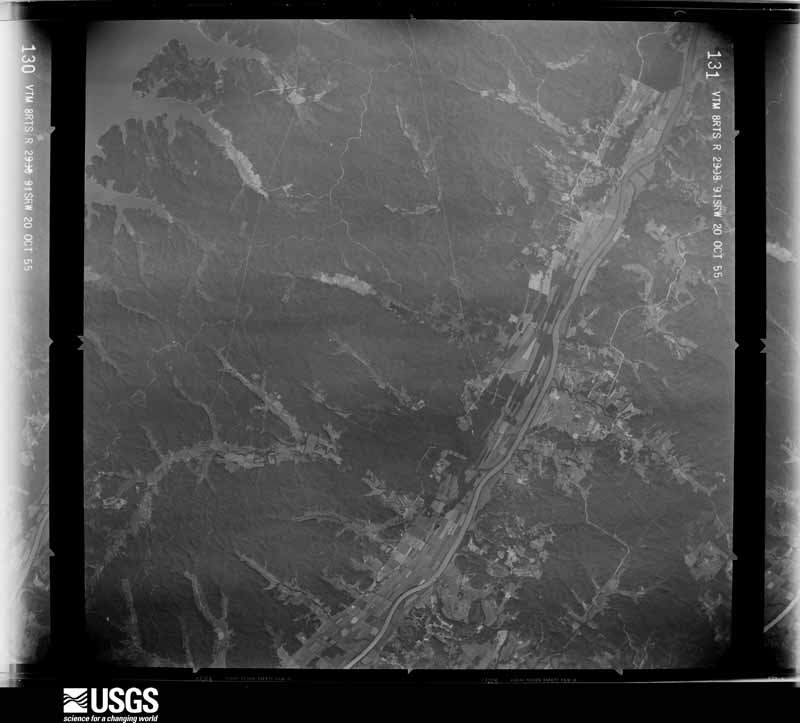
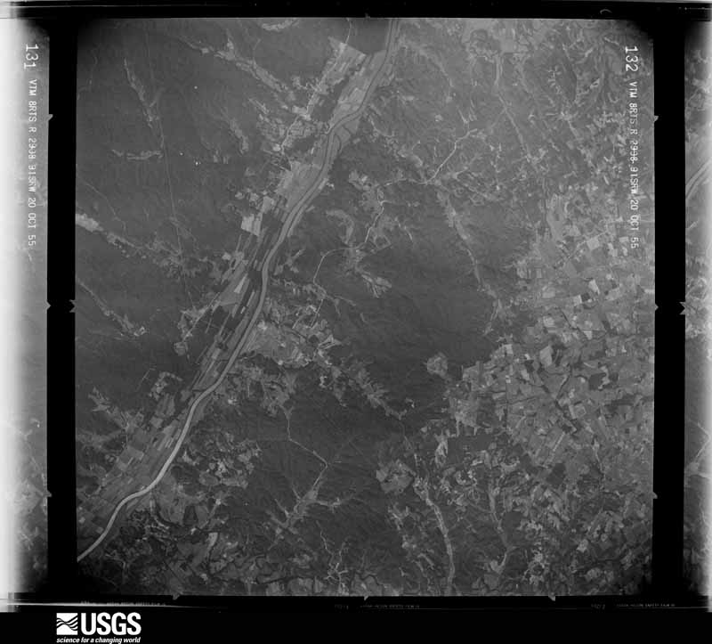
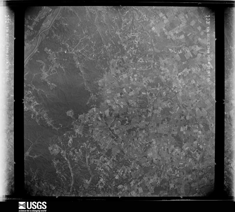
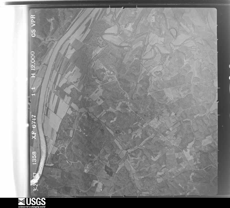
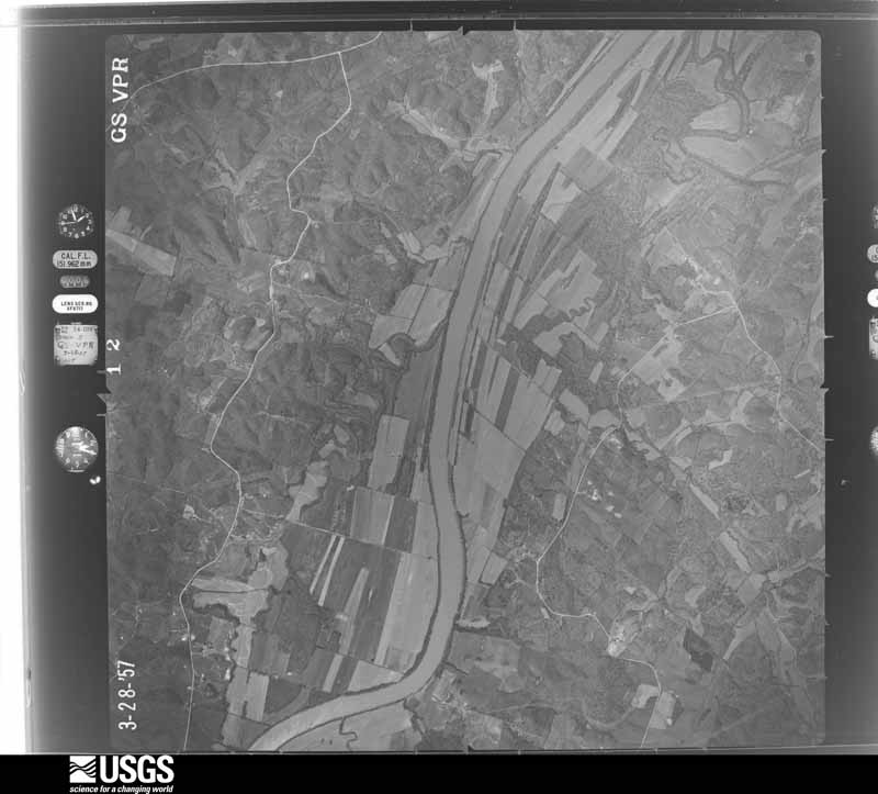
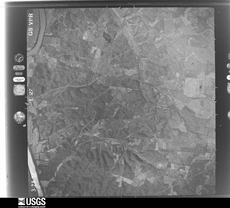
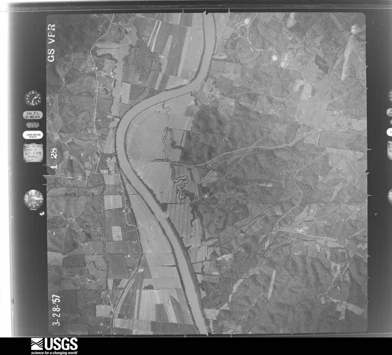
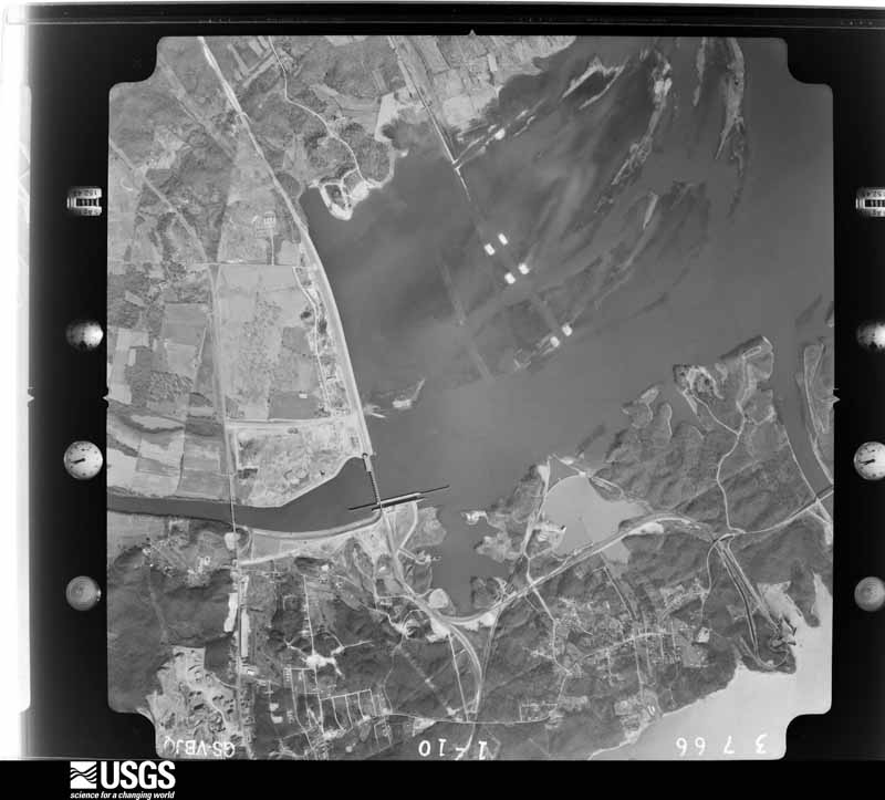
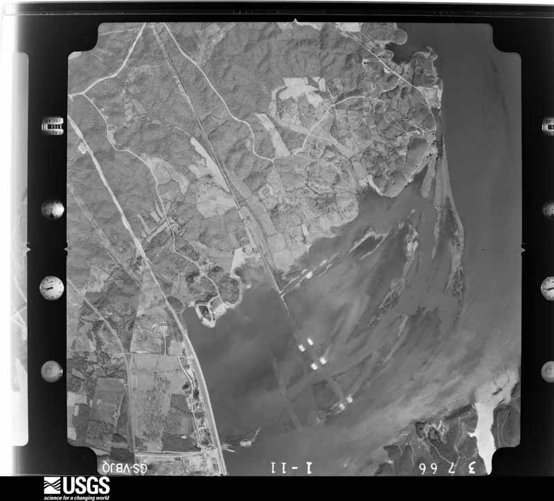
Flown by the U.S. Geological Survey between 1937 and 1989, the Aerial Photo Single Frames collection is the definitive mid-century view of the land: fields, roads and rivers as the camera saw them. The Survey holds 727 frames inside the rectangle that bounds this county; the 34 frames below were taken over the county itself, chosen across the decades of flights (at most four a year from that rectangle), so one flight cannot crowd out the rest. The full set is free to browse and download at EarthExplorer under the dataset Aerial Photo Single Frames.
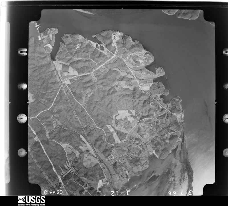
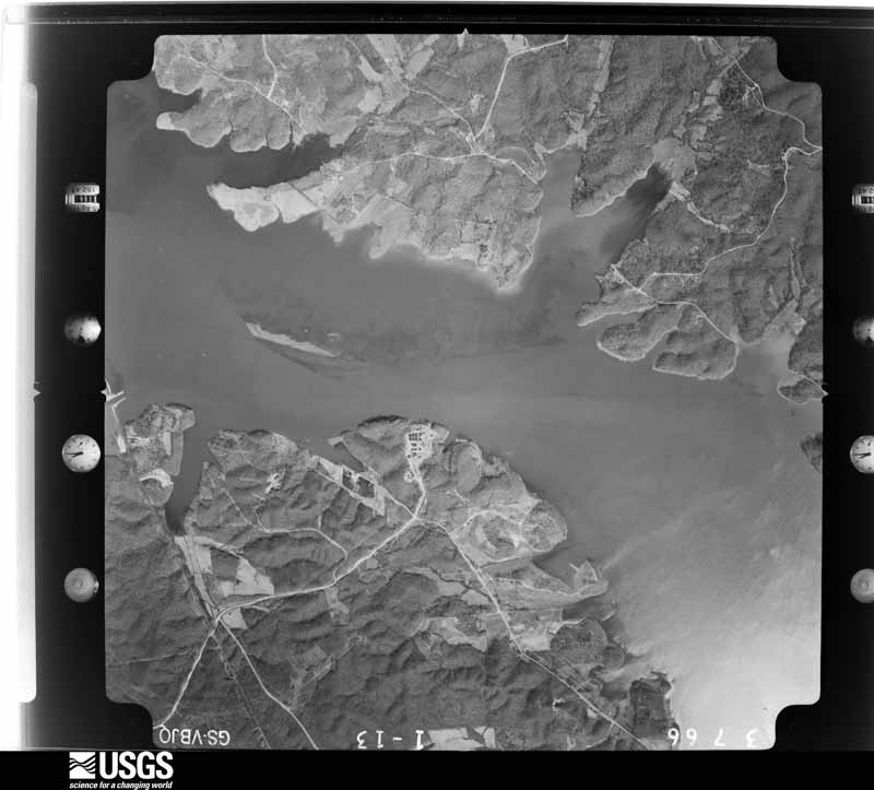
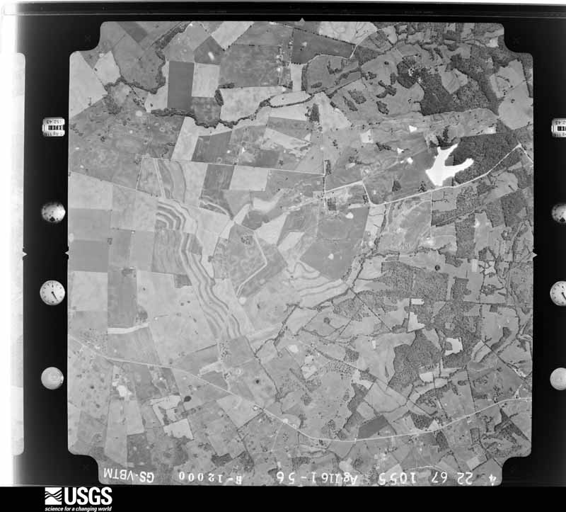
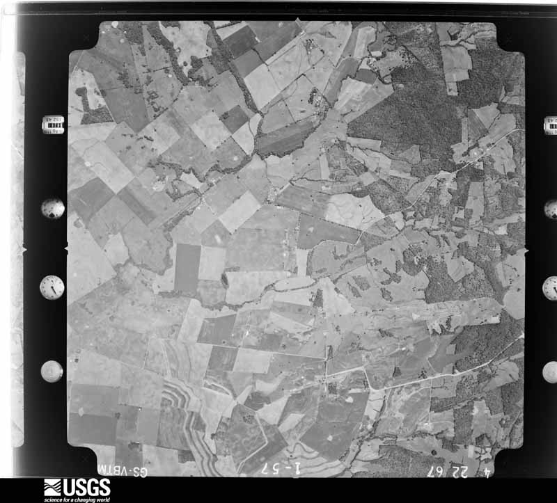
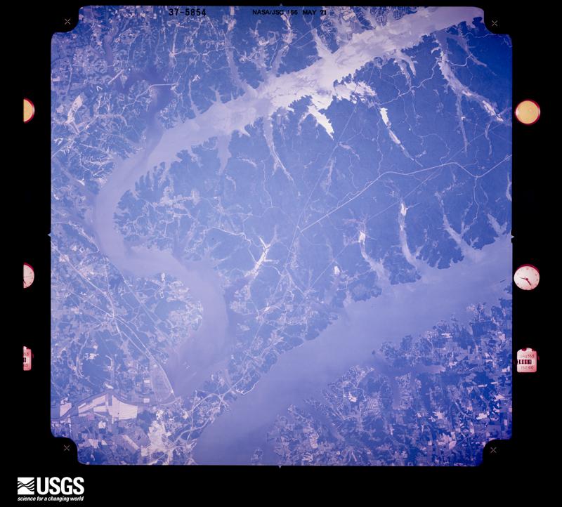
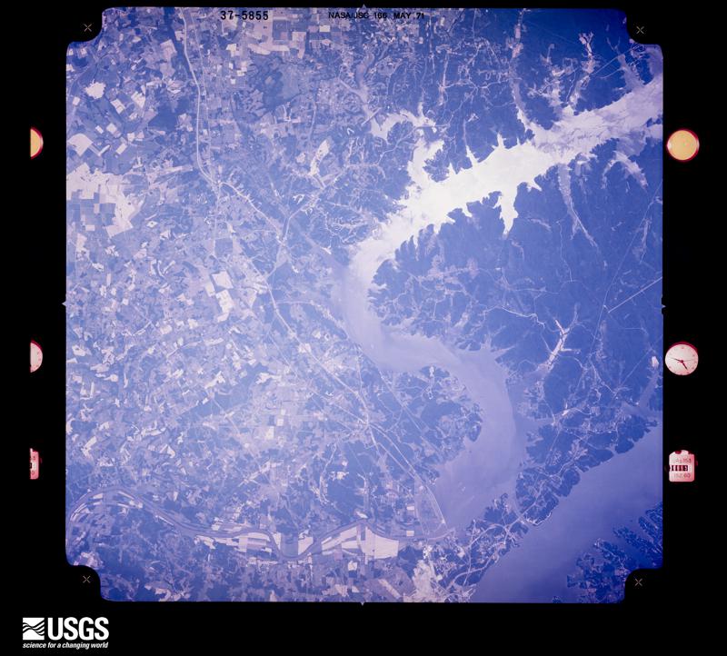


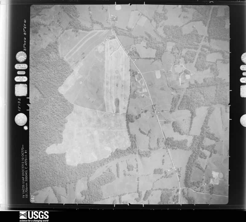
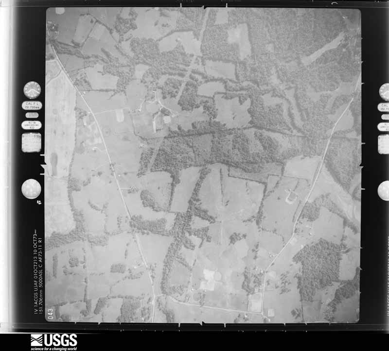
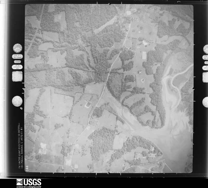
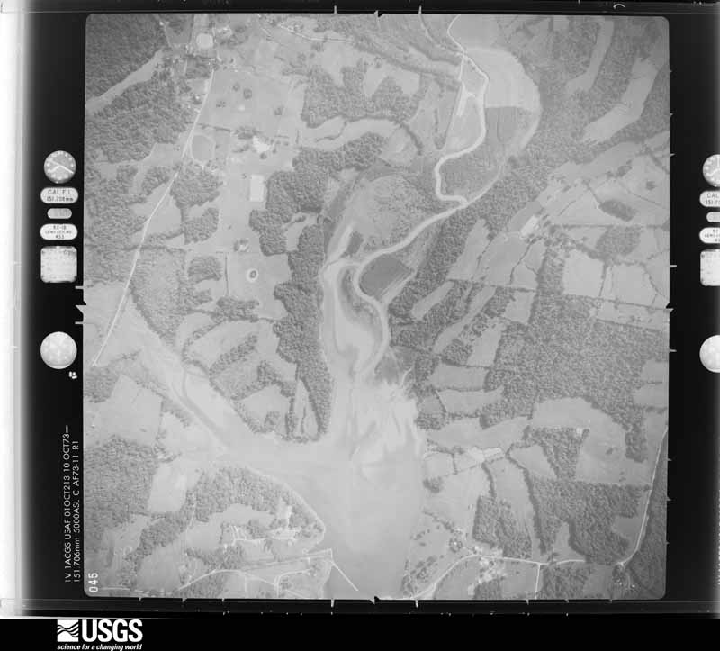
The thermometers that kept this county's weather, and the gages that measured the flow of its streams, as the federal records hold them. The extremes below are measured values from those records, not estimates.
Who lived here in 1950, one enumeration district at a time, as the Census Bureau described each district. Each row opens its official National Archives result, with Population Schedules and ED Maps available there.
Every wildfire the federal occurrence database records inside this county: 68 of them, burning about 908 acres. 1 started naturally and 6 were recorded as arson. Each settlement page carries the fires within five miles of it.
| Reported cause | Fires |
|---|---|
| Missing data/not specified/undetermined | 25 |
| Recreation and ceremony | 14 |
| Debris and open burning | 7 |
| Arson/incendiarism | 6 |
| Railroad operations and maintenance | 6 |
| Smoking | 4 |
| Equipment and vehicle use | 3 |
| Power generation/transmission/distribution | 2 |
| Natural | 1 |
The five largest, by the area the report gives. One of them was set deliberately.
| Date | Cause | Size | Reported by | Name on the report |
|---|---|---|---|---|
| 13 November 2009 | Arson/incendiarism | 250 acres | Land Between the Lakes National Recreation Area | BRANDON CHAPEL |
| 12 November 2010 | Equipment and vehicle use | 234 acres | Land Between the Lakes National Recreation Area | WOODSON CHAPEL |
| 11 August 2012 | Equipment and vehicle use | 221 acres | Land Between the Lakes National Recreation Area | NICKELL BRANCH |
| 20 March 2009 | Railroad operations and maintenance | 35 acres | Kentucky Division of Forestry | not named |
| 28 February 2016 | Missing data/not specified/undetermined | 29 acres | Land Between the Lakes National Recreation Area | HOTEL CALIFORNIA |
| 21 October 2008 | Railroad operations and maintenance | 20 acres | Kentucky Division of Forestry | not named |
| 12 April 2018 | Debris and open burning | 12 acres | Kentucky Division of Forestry | HOWARD ROAD |
| 5 April 2006 | Missing data/not specified/undetermined | 9.0 acres | Kentucky Division of Forestry | not named |
Every settlement page carries the fires within five miles of it - see the settlement index below.
The NOAA Storm Events Database holds 144 reports for this county, causing 1 death, 14 injuries and about $6,023,000 in recorded property damage. Each settlement page carries the reports that name it.
| Kind of event | Reports |
|---|---|
| Thunderstorm Wind | 58 |
| Hail | 25 |
| Flood | 22 |
| Tornado | 15 |
| Flash Flood | 12 |
| Heavy Rain | 8 |
| Funnel Cloud | 2 |
| Wildfire | 1 |
| Lightning | 1 |
The most serious of them, by death, then injury, then recorded damage. The accounts are quoted exactly as the forecast office filed them.
| When | Event | Place named | Harm | What the report says |
|---|---|---|---|---|
| December 2021 | Tornado (EF3) | Eureka | 1 killed, 5 hurt | This historic EF-4 tornado was associated with a very long-track supercell that originally formed over eastern Arkansas. The supercell produced a nearly continuous tornado damage path from northeast Arkansas across western Tennessee and western Kentucky. The starting point of this particular tornado was in northwest Tennessee, northwest of Union City (see Storm Data, Tennessee, Western for information on this and other tornadoes associated with the supercell). This tornado crossed from Marshall County into Lyon County, Kentucky near the Hillman Ferry Campground in the Land Between the Lakes National Recreation Area. The tornado crossed the Trace Highway causing near complete tree destruction and broke one wooden electrical transmission line (DI 24, DOD 4). The tornado achieved its highest rating of EF-3 as it emerged from Lake Barkley just north of Eddy Creek. Numerous homes were completely destroyed (DI 2, DOD 9) between the shore and Interstate 24 near Mile Marker 46. The damage rating of a house in this area corresponded with a wind speed of 150 mph, the highest in the county. The tornado continued to the county line producing mainly tree damage with occasional structural damage. A 98-year-old female occupant died of injuries incurred in her home south of Eddyville. In addition, 5 others were injured throughout Lyon county. A total of 141 structures were affected in Lyon County, with 45 of those totally destroyed or uninhabitable. Nearly total tree destruction was observed in the Land Between the Lakes area. The average path width was a mile. The tornado exited Lyon County into Caldwell County in a rural area about 7 miles east southeast of Eddyville. |
| April 1970 | Tornado (F3) | not stated | 5 hurt | no account filed |
| March 2017 | Thunderstorm Wind | Eddyville | 3 hurt, $50,000 | Significant damage occurred at the Kentucky State Penitentiary. Three staff members at the penitentiary were injured by flying glass, debris, and equipment picked up by the wind. Their injuries were not life threatening. The roof was blown off the prison gym. The resident of a mobile home in Eddyville estimated winds gusted to around 75 mph. The resident said their mobile home was rocking in the wind. |
| April 2009 | Tornado (EF1) | Saratoga | 1 hurt, $70,000 | This short-lived tornado began on the north side of exit 4 of the Western Kentucky Parkway. The tornado path stayed along the north side of U.S. Highway 62. The end wall of a commercial building was blown out. A mobile home was overturned. Another mobile home was unroofed. Two vehicles were damaged. Several trees and power lines were down. Two eyewitnesses observed the tornado from the south side of exit 4. One person was slightly injured when a glass window was blown out of his mobile home. He refused treatment for his hand injury. Peak winds were estimated near 90 mph. |
| July 2022 | Thunderstorm Wind | Kuttawa | $3,000,000 | The community of Kuttawa was struck by a microburst that downed numerous trees. Some of the trees were two to three feet in diameter. Extensive damage occurred at Kuttawa Harbor. Numerous boats and docks were damaged in the harbor. Three docks were extensively damaged. |
| March 2020 | Thunderstorm Wind | Kuttawa | $500,000 | A microburst with estimated peak winds near 85 mph heavily damaged a marina on Lake Barkley. A dock was heavily damaged with the metal flooring beams bent, along with damage to many metal vertical supports and the metal roof. A relatively small portion of the roofing was blown off. One boat was blown off a lift, and the boat was partially submerged. The microburst was about one-quarter mile long and 200 yards wide. |
| November 2005 | Tornado (F2) | Kuttawa | $500,000 | The tornado entered Lyon County from Marshall County as it crossed Kentucky Lake. The tornado reached the lakeshore at Hillman Ferry campground, within the Land Between The Lakes (LBL) National Recreation Area. The tornado then moved east-northeast across the forests of LBL, producing a narrow swath of downed trees. After exiting LBL and crossing Lake Barkley, the tornado struck a subdivision on the east side of the lake. Damage to the well-constructed homes in this subdivision was estimated to be the result of F-2 winds. The tornado proceeded east-northeast across Interstate 24, passing near the 46-mile marker, before lifting at the community of Saratoga. |
| July 2023 | Tornado (EF0) | Eureka | $200,000 | The weak tornado crossed Kentucky Lake from Marshall County and entered Lyon County in the Land-Between-The-Lakes National Recreation Area. The apparent damage path ended at the Twin Lakes campground, which is along the Kentucky Lake shore about two miles south of the canal between Lake Barkley and Kentucky Lake. Numerous campers were destroyed, and trees were downed. Peak winds in Lyon County were estimated near 80 mph. Witnesses in the area reported seeing funnel clouds. |
| May 2024 | Tornado (EF2) | Kuttawa | $180,000 | An EF-3 tornado (peak of EF-2 in Lyon County) began northeast of Eddyville on the west side of US-641N. The tornado tracked northeastward, strengthening rapidly and producing EF-2 damage off of Beck Rd. The tornado crossed into Caldwell County while collapsing a barn just north of Pleasant Valley Rd. Peak estimated winds for the Lyon County portion of the tornado were 115 mph. |
| April 2011 | Tornado (EF1) | Kuttawa | $150,000 | The tornado uprooted trees and snapped branches. The tornado struck a marina on Lake Barkley. There was substantial damage to boat docks and to the roofing of one home. One boat capsized. Peak winds were estimated near 90 mph. The path width was only 30 yards on average. |
| June 2006 | Thunderstorm Wind | Eddyville | $150,000 | A National Weather Service damage survey indicated a downburst with gusts up to 85 MPH occurred near the east shore of Lake Barkley in an area known as Eddy Creek. The damage area was about 2 miles wide and 3.5 miles long. The north to south extent of the damage was along Kentucky 93 from the north side of Eddy Bay to the community of Confederate. The west to east extent of the damage was from Lake Barkley to just east of Interstate 24. Hundreds of large trees were snapped or uprooted. Many trees were downed at a resort on the lake, damaging three permanent campers. A few motorists were stranded between downed trees and power lines across roads. A private boat dock was heavily damaged, along with a boat. About a half dozen homes and structures sustained roof and siding damage, which was mainly minor. Three homes were damaged when trees fell on them. One lane of eastbound Interstate 24 near the 49 mile marker was blocked for several hours by downed trees. A canopy was blown off a gas station. Widespread power outages lasted into the following day. |
| May 2025 | Tornado (EF1) | Confederate | $100,000 | An NWS damage survey found that a brief EF-1 with peak winds of 105 mph tornado occurred southwest of the Lamasco community in southeast Lyon County, KY. Most of the damage was in the form of uprooted trees along Highway 274, but a pole barn and chicken coop were destroyed and a cattle fence damaged. Additionally, a house near the destroyed outbuilding suffered roof damage. NWS Paducah would like to thank Lyon County EMA for their assistance with drone footage for this survey. |
| April 2011 | Tornado (EF1) | Eddyville | $100,000 | The intermittent damage path began along Highway 373, producing mainly tree damage. Further northeast, barns and trees were damaged, along with shingles off roofs. Peak winds were estimated near 95 mph. The average path width was 75 yards. The tornado continued northeast into Caldwell County. |
| June 1997 | Flash Flood | Kuttawa | $100,000 | Thunderstorms moved repeatedly over the same parts of western Lyon County. Radar estimated about 3 inches of rain fell in a few hours. Some homes were flooded, and a road was partially washed out. A trailer park was evacuated. |
| June 1995 | Thunderstorm Wind | Countywide | $100,000 | Numerous trees and power lines were blown down by winds estimated up to 75 mph. A few trees landed on homes and vehicles. The roofs of a couple large businesses in Eddyville were heavily damaged. The Regency Inn lost a large section of roof, which landed in the median of U.S. Highway 62. The West Kentucky Factory Outlet Mall also sustained significant roof damage. |
| February 2018 | Flood | Kuttawa | $75,000 | Kentucky Highway 295 near the bluff at the west end of Old Kuttawa was closed due to a landslide. |
| May 2011 | Thunderstorm Wind | Eureka | $70,000 | At a campground near Barkley Dam, trees were blown down, along with numerous tree limbs. A tree limb punched a hole in a large metal building. A camper was blown over, and at least one camper was damaged by a falling limb. Access to the campground was blocked by downed trees. An uprooted tree took down a power line. |
| June 2009 | Tornado (EF1) | Eureka | $70,000 | The tornado touched down along a rural road, not far from the intersection of U.S. Highways 62 and 641. Three barns or farm outbuildings were nearly destroyed. Four 1500-pound hay bales were tossed end over end. Metal debris was thrown into trees at a 90-degree angle to the left of the path. Large hardwood trees and other trees were uprooted. Small limbs were broken out of some trees halfway up. A power pole was pushed over. An eyewitness reported a sudden increase in whirling debris. Peak winds were estimated near 105 mph. |
| August 2022 | Thunderstorm Wind | Kuttawa | $50,000 | Multiple trees were down. Significant damage was reported at Iron Hill Campground just southwest of Kuttawa. A woman was briefly trapped, but another resident freed her and she was not injured. Some homes and golf carts in the campground were damaged by fallen trees and limbs. |
| June 2019 | Tornado (EF1) | Mont | $50,000 | The tornado began east of the Woodlands Trace and Silver Trail Road junction and tracked southeast along Silver Trail Road before crossing into Trigg County. Hundreds of trees, some very large, were snapped or uprooted. The path of this tornado was in densely wooded areas of the Land Between The Lakes National Recreation Area. Peak winds were estimated near 100 mph. Most of the path was in Lyon County, however a popular tourist spot was struck in the Trigg County portion. |
| August 2010 | Thunderstorm Wind | Saratoga | $50,000 | A microburst produced a very small but intense damage path along Eddy Creek near the Caldwell County border. Twisted metal and lumber from a destroyed roof were blown across a roadway. The roof was a pitched tin roof that was added over a flat roof. Metal debris was wrapped around a stop sign. At least one outbuilding was destroyed, and others had roofs missing or damaged. The damage area was less than one-half mile long. |
| January 2008 | Thunderstorm Wind | Kuttawa | $40,000 | Trees and power lines were blown down countywide. Minor structural damage occurred, mainly to roofs. |
| June 2019 | Thunderstorm Wind | Eureka | $30,000 | Dozens of trees were snapped or uprooted in northern portions of the Land Between The Lakes National Recreation Area. The area of tree damage included the Pisgah Bay area and the popular Hillman Ferry campground. |
| August 2012 | Thunderstorm Wind | Kuttawa | $30,000 | In Eddyville, a trained spotter heard branches breaking off trees as the power went out. Wind gusts were estimated near 60 mph. In the Kuttawa area west of Eddyville, county road crews were dispatched to clear numerous trees over State Roads 810, 93, 295, and 819. |
| May 2010 | Flash Flood | Eureka | $30,000 | The Cumberland River rose rapidly as releases from Barkley Dam were increased to record levels. The river rose about one foot per hour, peaking around 350 feet at Barkley Dam. A few residences were flooded, and others were evacuated because they were isolated by floodwaters. Most of the houses that were affected were in the vicinity of U.S. Highway 62 immediately below the dam. Sandbagging efforts helped minimize damage to a couple homes. One house was surrounded by over 5,000 sandbags. There was extensive flooding of fields and woods. A number of roads were closed. A state of emergency was declared in the county. |
| May 2011 | Flood | Carmack | $30,000 | no account filed |
| May 2024 | Thunderstorm Wind | Kuttawa | $25,000 | A couple of trees were downed by thunderstorm winds, one falling onto a house in Eddyville. |
| May 2017 | Thunderstorm Wind | Kuttawa | $25,000 | Several trees and power poles were blown down. |
| July 2016 | Thunderstorm Wind | Eddyville | $25,000 | Four power poles with transformers were blown down. |
| July 2001 | Thunderstorm Wind | Countywide | $25,000 | Thunderstorms produced damaging winds that downed about 100 trees and power lines. A few trailers were damaged by fallen trees. One trailer on State Route 1055 was damaged enough that it became uninhabitable. Some residents were without power for several hours. |
| July 2023 | Thunderstorm Wind | Eddyville | $20,000 | A tree fell on a vehicle. |
| March 2006 | Thunderstorm Wind | Eddyville | $20,000 | In Kuttawa, the roof of a laundromat was blown off, and the retainer wall at a post office collapsed. A farm shed was destroyed in Eddyville. In the Land Between The Lakes Recreation Area, numerous trees fell at the Hillman Ferry Campground, including some that landed on roads and a rest room building. |
| May 2006 | Thunderstorm Wind | Eddyville | $20,000 | At the Eddy Creek Marina, a floating breakwater dock was blown about 15 feet. About a dozen 5/8-inch thick steel cables snapped, causing the dock to float away. A power failure and a small fire ensued. |
| May 2010 | Flood | Eureka | $15,000 | High water levels on Lake Barkley caused flooding of marinas, boat ramps, and lake access roads. Sandbagging was needed to protect a building at the Kuttawa Harbor Marina. All marinas on the lake were closed. Lake Barkley was closed to recreational boating by order of the Coast Guard. Water backed up into bays and tributary creeks, causing flooding inland from the lake. Most trails, roads, and camping facilities in the Land Between The Lakes National Recreation Area were closed. |
| February 2019 | Flood | Eddyville | $10,000 | The level of Kentucky Lake was raised to 367 feet, about 8 feet above the normal summer pool stage. Low-lying parks, campgrounds, and marina parking lots near the lake were flooded. Some lake access roads were underwater. The lake level was still several feet below the record set during the spring of 2011 flood. |
| March 2018 | Flood | Eddyville | $10,000 | Flooding along the lakeshore of Lake Barkley inundated parks, boat ramps, parking lots, and a few access roads. Some campsites were flooded at campgrounds. The lake level rose to nearly 365 feet due to restricted water releases at Barkley Dam. The water was held back to mitigate flooding on the Ohio River. The Lake Barkley winter pool stage is 355 feet, and the normal summer pool stage is 359 feet. |
| November 2013 | Tornado (EF1) | Kuttawa | $10,000 | This long-track tornado entered Lyon County from Livingston County. The most intense damage in Lyon County was rated EF-1 with estimated 95 mph peak winds. The damage consisted primarily of uprooted trees. Damage in Lyon County was relatively light since the tornado was in its weakening stage before it lifted. The total path length of this tornado, which started west of Paducah, was 42 miles. |
| June 2006 | Thunderstorm Wind | Kuttawa | $10,000 | Numerous trees were blown down at the Hillman Ferry campground in the Land Between The Lakes National Recreation Area. Some recreational vehicles sustained minor damage, and utility lines were downed. |
| May 2015 | Thunderstorm Wind | Eddyville | $7,000 | In Eddyville, large tree branches were down, along with some power lines. A trampoline was blown about 200 yards. At the intersection of U.S. Highways 641 and 62, debris was blown into power lines. Trees were down on U.S. Highway 641 just north of Eddyville. |
| January 1996 | Thunderstorm Wind | Eddyville | $6,000 | no account filed |
| July 2023 | Thunderstorm Wind | Eddyville | $5,000 | Trees were down. |
| June 2018 | Thunderstorm Wind | Eddyville | $5,000 | Severe thunderstorm winds occurred over much of the county. Three state roads were closed by downed trees. A trained spotter estimated winds gusted to 60 mph at Eddyville. |
| April 2010 | Thunderstorm Wind | Kuttawa | $5,000 | A large sign was blown across Interstate 24. A traffic control barrier was blown onto the road, blocking it. |
| May 2010 | Flood | Mont | $5,000 | High water levels on Kentucky Lake caused flooding of lakeshore docking facilities, boat ramps, and lake access roads. Hillman Ferry Campground within the Land Between The Lakes National Recreation Area experienced considerable flooding. Dozens of campsites were underwater, and a couple of roads were inundated. Water backed up into bays and tributary creeks, causing flooding inland from the lake. Most trails, roads, and camping facilities in the Land Between The Lakes National Recreation Area were closed. Large parts of the lake were closed to recreational boating per order of the Coast Guard. |
| September 2001 | Thunderstorm Wind | Countywide | $5,000 | About ten trees were down, some blocking roads. |
| May 1998 | Thunderstorm Wind | Eddyville | $5,000 | Trees were down on three highways near Eddyville. |
| October 2001 | Thunderstorm Wind | Countywide | $4,000 | Trees and power lines were down at scattered locations around the county. |
| May 1999 | Thunderstorm Wind | Eddyville | $4,000 | Trees and power lines were down along Oak Grove Road. |
| June 1999 | Thunderstorm Wind | Countywide | $4,000 | Numerous trees were down across the county. An estimated gust to 58 MPH was reported near the Interstate 24 interchange with the Western Kentucky Parkway. |
| July 1997 | Thunderstorm Wind | Confederate | $4,000 | Trees and power lines were down in the southwest part of Lyon County. |
| June 2022 | Thunderstorm Wind | Kuttawa | $3,000 | Trees were down on a road just northwest of Eddyville. |
| June 1999 | Thunderstorm Wind | Lamasco | $3,000 | A state trooper reported trees were downed in his yard by winds estimated near 60 MPH. |
| January 1999 | Thunderstorm Wind | Eddyville | $3,000 | A tree and a couple of power lines were down. |
| January 2000 | Flash Flood | Countywide | $3,000 | no account filed |
| April 2022 | Tornado (EF1) | Mont | $2,000 | This tornado crossed from Trigg County into Lyon County. Much of the Lyon County portion of the path was over Lake Barkley. On the Lyon County shore, a tree and some branches were blown down in a subdivision. Peak winds were estimated near 95 mph. |
| April 2016 | Thunderstorm Wind | Carmack | $2,000 | A tree was blown down, blocking Highway 453 in the Land Between The Lakes National Recreation Area. |
| October 2013 | Thunderstorm Wind | Kuttawa | $2,000 | A few tree limbs were blown down, mainly along Highway 295. |
| May 2025 | Thunderstorm Wind | Saratoga | $1,000 | A tree was blown down across the road around mile marker 11 on KY-93. |
| July 2024 | Thunderstorm Wind | Kuttawa | $1,000 | A retired NWS employee observed a tree limb downed in a yard and lots of twigs and leaves on U.S. 62 near Suwanee. |
| July 2023 | Thunderstorm Wind | Eureka | $1,000 | A tree was down over Highway 62 near Barkley Dam. |
Named settlements recorded in the Geographic Names Information System, each with the topographic sheets covering it. Villages, hamlets and abandoned places alike. Each is shown with the nearest named watercourse or landform and the survey quadrangle it falls on. The 2 places that were also surveyed for fire insurance come first, with the number of atlases and photographs held for them.
Eddyville census division · 42038 · On Knob Creek · Eddyville quadrangle
19 sheets, 1928 to 1987
Fire insurance: 4 atlases
Eddyville census division · 42055 · On Poplar Creek · Grand Rivers quadrangle
20 sheets, 1928 to 1993
Fire insurance: 2 atlases
Eddyville census division · 42055 · On Panther Creek · Grand Rivers quadrangle
20 sheets, 1928 to 1993
No longer a settlement
Southeast Lyon census division · 42038 · On Eddy Creek · Eddyville quadrangle
19 sheets, 1928 to 1987
Land Between the Lakes census division · On Little Carmack Creek · Eddyville quadrangle
19 sheets, 1928 to 1987
Southeast Lyon census division · 42038 · Lamasco quadrangle
8 sheets, 1953 to 1980
No longer a settlement
Southeast Lyon census division · 42038 · On McNabb Creek · Mont quadrangle
13 sheets, 1936 to 1986
Southeast Lyon census division · 42038 · On Confederate Branch · Lamasco quadrangle
8 sheets, 1953 to 1980
Land Between the Lakes census division · On Little Carmack Creek · Eddyville quadrangle
19 sheets, 1928 to 1987
Southeast Lyon census division · 42038 · On Bells Creek · Mont quadrangle
13 sheets, 1936 to 1986
No longer a settlement
Southeast Lyon census division · 42038 · On South Fork Dryden Creek · Lamasco quadrangle
8 sheets, 1953 to 1980
Southeast Lyon census division · 42038 · On Bells Creek · Eddyville quadrangle
19 sheets, 1928 to 1987
Southeast Lyon census division · 42038 · On Tinsley Creek · Eddyville quadrangle
19 sheets, 1928 to 1987
Southeast Lyon census division · 42038 · On Bells Creek · Eddyville quadrangle
19 sheets, 1928 to 1987
Southeast Lyon census division · 42038 · On Tinsley Creek · Eddyville quadrangle
19 sheets, 1928 to 1987
Southeast Lyon census division · 42038 · On Bells Creek · Eddyville quadrangle
19 sheets, 1928 to 1987
Southeast Lyon census division · 42038 · On Eddy Creek · Eddyville quadrangle
19 sheets, 1928 to 1987
Southeast Lyon census division · 42038 · Lamasco quadrangle
8 sheets, 1953 to 1980
No longer a settlement
Southeast Lyon census division · 42038 · On Motley Creek · Lamasco quadrangle
8 sheets, 1953 to 1980
No longer a settlement
Southeast Lyon census division · 42038 · On Sweetwater Creek · Princeton West quadrangle
15 sheets, 1908 to 1983
Eddyville census division · 42055 · Near Iron Hill · Grand Rivers quadrangle
20 sheets, 1928 to 1993
Land Between the Lakes census division · Near Nickell Cove · Birmingham Point quadrangle
15 sheets, 1936 to 1986
Southeast Lyon census division · 42038 · On Eddy Creek · Eddyville quadrangle
19 sheets, 1928 to 1987
The vanished settlements of Lyon County: the places named above that are no longer on the map.
19 topographic sheets and 4 fire insurance atlases, 1905 to 1943