 Block
La Fayette, Kentucky
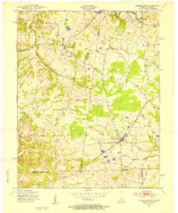
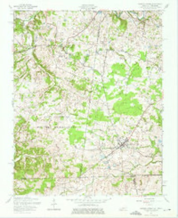
9 topographic sheets cover this place, the earliest surveyed in 1951 and the latest in 1980. It stands in the LaFayette census division. It lies in ZIP code area 42254. The Survey maps it on the Roaring Spring quadrangle.
On record in La Fayette
Buildings and businesses the archive holds for this place. Each opens its own page, with the source record it came from.
On the National Register within a mile 1 record
The National Register names another town for these. They stand within one mile of this settlement's coordinate.
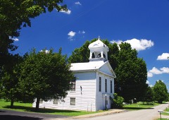 Lafayette Methodist Churchlisted 1979 · 0.1 miles away
Topographic sheets covering this place
6 surveys from 9 printed sheetsMatched by testing this settlement's coordinate against the published boundary of every sheet in the United States Geological Survey's historical collection. Each opens the scanned sheet at the Survey.
- 1951 USGS Roaring Spring quadrangle1:24000
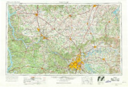
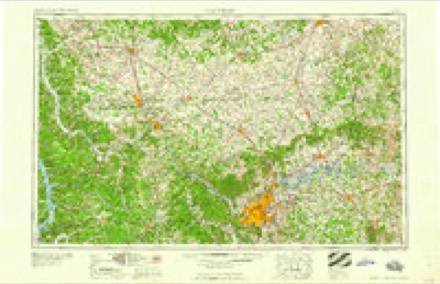
- 1956 USGS Nashville quadrangle1:250000, 2 printings
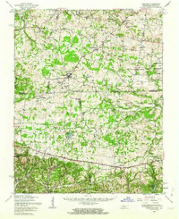
- 1957 USGS Herndon quadrangle1:62500
- 1957 USGS Roaring Spring quadrangle1:24000, 3 printings
- 1959 USGS Nashville quadrangle1:250000
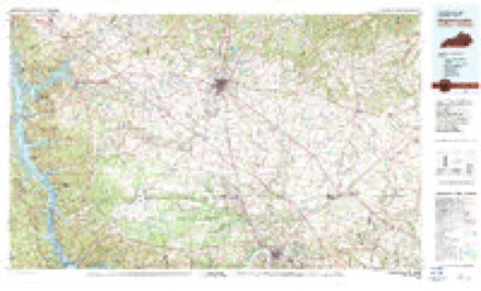
- 1980 USGS Hopkinsville quadrangle1:100000
Fires near this place
3 since 2007Regional context, not property-specific evidence. The federal wildfire occurrence database lists 3 fires within 5 miles of La Fayette between 2007 and 2010, burning about 180 acres in total. None started naturally. None was recorded as arson. Distance is straight-line from the map coordinates, so a fire counted here may appear on a neighbouring settlement's page as well.
| Reported cause | Fires |
|---|---|
| Railroad operations and maintenance | 1 |
| Recreation and ceremony | 1 |
| Missing data/not specified/undetermined | 1 |
The most recent of them, most recent first, with the day each was reported and the service that recorded it.
| Date | Cause | Size | Reported by | Name on the report |
|---|---|---|---|---|
| 18 August 2007 | Recreation and ceremony | 48 acres | Kentucky Division of Forestry | not named |
| 24 March 2009 | Railroad operations and maintenance | 2.0 acres | Kentucky Division of Forestry | not named |
| 23 October 2010 | Missing data/not specified/undetermined | 130 acres | Kentucky Division of Forestry | COMPTON RD. |
Settlements close enough to share some of these fires:
Mines and quarries near this place
1 within 5 milesRegional context, not property-specific evidence. The federal mineral resources record lists 1 working within 5 miles of La Fayette: 1 past producer. None of them still produces. What was taken out: Iron. Distance is straight-line from the map coordinates, so a quarry counted here may appear on a neighbouring settlement's page as well.
| Where | Site | Commodity | Status | Recorded |
|---|---|---|---|---|
| Model Prospect | Iron | Past Producer |
Storms near this place
7 since 2003Regional context, not property-specific evidence. The National Weather Service names La Fayette in 7 storm reports between 2003 and 2021: 3 thunderstorm wind, 2 tornado, 1 hail, 1 flood. The reports record 5 injuries. Each account below is quoted exactly as the forecast office filed it, from the NOAA Storm Events Database, and each date opens the federal record of that event.
| When | Event | Place named | Harm | What the report says |
|---|---|---|---|---|
| December 2021 | Tornado (EF2) | La Fayette | 4 hurt | This long-track EF-3 tornado began in western Tennessee near Dyersburg (see Storm Data, Tennessee, Western). It crossed from Stewart County, Tennessee into Christian County in the secured area of the Fort Campbell military reservation (see Storm Data, Tennessee, Central for the Stewart County portion of the track). The tornado passed only about half a mile southeast of the community of La Fayette on its way northeast across Interstate 24 and Fort Campbell Boulevard (U.S. Highway 41). Between La Fayette and I-24, several homes were destroyed (DI 2, DOD 6). The homes suffered complete destruction of the roof and/or attic. The walls were often damaged but remained standing. One house was moved from its foundation (DI 2, DOD 5). The occupants of the houses took shelter and generally escaped serious injury. A mobile home was destroyed (DI 3, DOD 9). A church sustained steeple damage. Significant damage occurred to the silos and irrigation system of a farm, where damage was estimated near 1 million dollars. A mile's worth of power poles were snapped on Fort Campbell Boulevard (U.S. 41) just one to two miles north of the I-24 interchange (DI 24, DOD 4). After crossing U.S. 41, the tornado struck Pembroke, where more significant structural damage occurred. A single-wide mobile home was destroyed (DI 3, DOD 9). The mobile home was not tied down. One person was injured at this site. At least one other mobile home was destroyed. Two barns were destroyed (DI 1, DOD 8). Roofs were completely removed from two houses. Elsewhere along the path east of Fort Campbell Boulevard, farm outbuildings and farm equipment were damaged or destroyed. The tornado was rated EF-2 in Christian County. Several damage sites were assigned a wind speed estimate of 125 mph, the highest in the county. The average path width in Christian County was about a mile, though it narrowed to about three-quarters of a mile toward the end of its life after crossing Highway 41. The tornado continued northeast of Pembroke before entering Todd County. |
| May 2011 | Tornado (EF2) | La Fayette | 1 hurt, $350,000 | This tornado crossed into Kentucky from Stewart County, Tennessee. Several barns and grain bins were damaged or destroyed. A dairy barn with 45 cows inside was destroyed. Although all the cows were trapped under the collapsed barn, only two of the cows were injured. One of the cows was thrown 500 feet from its stall. Numerous large trees were snapped or uprooted. A tractor-trailer rig hauling freight was overturned at mile-marker 85 on Interstate 24. The driver suffered minor injuries and was taken to a regional hospital. The roof was torn from an agricultural chemical storage building. A tool barn was destroyed. At a farm near Pembroke, a large tree fell on a house, a large barn was flattened, and two large grain bins were destroyed. Peak winds were estimated near 120 mph, but the majority of the damage path was EF-1. The average path width was 150 yards. |
| April 2011 | Thunderstorm Wind | La Fayette | $150,000 | A wind gust to 71 mph was measured at Oak Grove. The Fort Campbell airfield measured a gust to 58 mph. Numerous large trees were down in Oak Grove and Pembroke. On the Fort Campbell military installation, dozens of trees were snapped or uprooted, including six trees that were uprooted on the grounds of the high school. A tree fell on the elementary school. Some shingles were blown off buildings. Power lines and power poles were brought down by the trees. Some roads were blocked by fallen trees. Some roof damage was reported in La Fayette. |
| May 2011 | Flood | La Fayette | $30,000 | no account filed |
| June 2015 | Thunderstorm Wind | La Fayette | $10,000 | Outbuildings were damaged, and small trees were blown down. Winds were estimated near 60 mph. |
| March 2009 | Hail | La Fayette | $10,000 | Storm chaser vehicles were damaged. |
| August 2003 | Thunderstorm Wind | La Fayette | - | Several trees were blown down. |
Nearest settlements
The eight closest, with where each one stands in the county. Distances are straight-line, computed from the Geographic Names Information System coordinates.
| Map | Place | Distance | Sheets |
|---|---|---|---|
| LaFayette | 2.6 miles | 9 | |
| Bennettstown | 3.6 miles | 9 | |
| Flat Lick (historical) | 4.0 miles | 9 | |
| Stephenson | 4.5 miles | 9 | |
| Garrettsburg | 6.2 miles | 9 | |
| Binns Mill | 6.5 miles | 8 | |
| Peedee | 6.9 miles | 8 | |
| Howel | 7.1 miles | 9 |
Provenance
This settlement is recorded in the Geographic Names Information System as feature 495883. The sheet list is computed by point-in-boundary test against the United States Geological Survey's historical topographic inventory. Both are works of the United States government and carry no copyright under 17 U.S.C. 105.
Wildfire. Short, Karen C. 2022. Spatial wildfire occurrence data for the United States, 1992-2020 [FPA_FOD_20221014]. 6th Edition. Fort Collins, CO: Forest Service Research Data Archive. https://doi.org/10.2737/RDS-2013-0009.6 Collected with United States Government funding and usable without additional permissions or fees.
Mines and quarries. USGS Mineral Resources Data System (MRDS) https://mrdata.usgs.gov/mrds/ A work of the United States government, no copyright under 17 U.S.C. 105.
Storms. NOAA National Centers for Environmental Information, Storm Events Database https://www.ncei.noaa.gov/stormevents/ A work of the United States government, no copyright under 17 U.S.C. 105. Narratives are quoted verbatim from the National Weather Service report and are not edited or summarised.