 Block
Locust, Kentucky
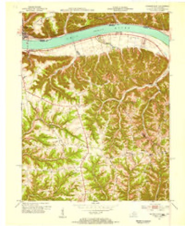
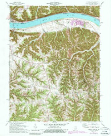
11 topographic sheets cover this place, the earliest surveyed in 1953 and the latest in 1990. It stands in the Prestonville census division. It lies in ZIP code area 40045. It stands on East Prong Locust Creek. The Survey maps it on the Madison East quadrangle. It stands 466 feet above sea level.
Topographic sheets covering this place
6 surveys from 11 printed sheetsMatched by testing this settlement's coordinate against the published boundary of every sheet in the United States Geological Survey's historical collection. Each opens the scanned sheet at the Survey.
- 1953 USGS Madison East quadrangle1:24000, 2 printings
- 1956 USGS Louisville quadrangle1:250000, 2 printings
- 1964 USGS Louisville quadrangle1:250000
- 1971 USGS Madison East quadrangle1:24000, 4 printings
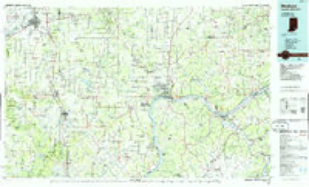
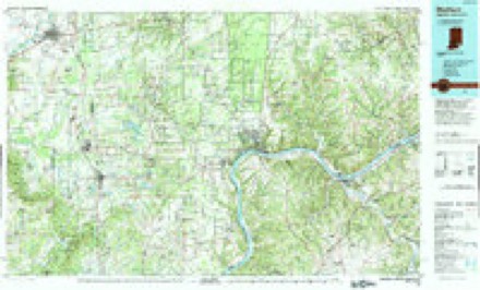
- 1986 USGS Madison quadrangle1:100000
- 1990 USGS Madison quadrangle1:100000


Mines and quarries near this place
1 within 5 milesRegional context, not property-specific evidence. The federal mineral resources record lists 1 working within 5 miles of Locust: 1 producer. All of them still produce. What was taken out: Sand and Gravel, Construction. Distance is straight-line from the map coordinates, so a quarry counted here may appear on a neighbouring settlement's page as well.
| Where | Site | Commodity | Status | Recorded |
|---|---|---|---|---|
| Milton Plant | Sand and Gravel, Construction | Producer |
Storms near this place
16 since 2008Regional context, not property-specific evidence. The National Weather Service names Locust in 16 storm reports between 2008 and 2026: 9 thunderstorm wind, 3 flash flood, 2 flood, 2 tornado. The reports record 1 injury. Each account below is quoted exactly as the forecast office filed it, from the NOAA Storm Events Database, and each date opens the federal record of that event.
| When | Event | Place named | Harm | What the report says |
|---|---|---|---|---|
| July 2012 | Thunderstorm Wind | Locust | 1 hurt, $10,000 | Multiple trees were reported down in the area. One tree fell on a car, injuring one person. |
| March 2012 | Tornado (EF1) | Locust | $1,277,000 | The tornado initially touched down in Trimble County at 1541 EST, causing extensive EF2 and some EF3 damage south of Milton, before weakening. While in Trimble County, the tornado traveled 3.26 miles and had a maximum width of 75 yards. Based on the damage survey conducted in Trimble County, the maximum estimated wind speed of the tornado at that time was 140 miles per hour. The tornado then entered Carroll County at 1544 EST. The EF1 damage in Carroll County began near the county line near the junction of East Prong Locust Road and Wrights Ridge Road. At this point the path width of the tornado had decreased to 150 yards. The path continued east northeast along Kings Ridge Road. The path then continued east northeast to Route 42 in the vicinity of Kemper Lane near the Harbor Pointe Estates community. The path briefly continued after that before diminishing. Damage in Carroll County was consistent with a high end EF0 to low end EF1 tornado. Several structures had minor to more significant roof damage, with some structures losing over 25 percent of the roof structure. Several barns were destroyed, as well as widespread hardwood tree damage. These trees were either snapped or uprooted. At least two mobile homes were destroyed. Based on this survey, the maximum estimated wind speed of this tornado while in Carroll County, was 95 miles per hour. Damage estimates in Carroll County are 1,277,000 dollars. |
| April 2014 | Flash Flood | Locust | $100,000 | A mudslide caused by heavy rain destroyed a single family home near State Route 36 and Notch Lick Road. The foundation was undermined. The home was unoccupied. |
| March 2024 | Tornado (EF2) | Locust | $50,000 | The tornado first developed in Jefferson County, Indiana, at 1258EST, on the north side of Hanover. The tornado moved east across the Ohio River into Trimble County, Kentucky, and then into Carroll County at 1308EST. ||There was extensive tree damage just inside of western Carroll County where winds were estimated to be 115 mph, EF-2 strength, before weakening across the rugged Fairview ridge. There was one large barn along Hampton Road that had extensive roof paneling damage and a door blown out. Wind speeds here were estimated to be 90 mph, EF-1. There was a lot of topped tree damage along Locust Creek and Kentucky State Route 36, where wind speeds were estimated to be 85 mph, EF-0.||At 1315EST, the tornado moved across the Ohio River again and back into Jefferson County, Indiana. The tornado continued east across southwest Switzerland County, Indiana, before crossing the Ohio River one more time and moving back into Carroll County, Kentucky, and ending at 1324EST, 2 miles east of Carrollton. |
| March 2019 | Thunderstorm Wind | Locust | $10,000 | Several homes sustained roof damage. |
| March 2008 | Flood | Locust | $5,000 | State Route 36 was flooded and closed outside of Carrollton. Several other roads were flooded throughout the county. |
| April 2026 | Thunderstorm Wind | Locust | $4,000 | A few trees were downed in the 2300 block of U.S. Route 42. |
| May 2022 | Thunderstorm Wind | Locust | $3,000 | A few trees were downed onto State Route 36 West. |
| March 2019 | Thunderstorm Wind | Locust | $3,000 | Several large trees were downed. |
| June 2008 | Thunderstorm Wind | Locust | $3,000 | Trees were downed along State Route 36 between Carrollton and Milton. |
| July 2021 | Thunderstorm Wind | Locust | $1,000 | A tree was downed along State Route 36. |
| March 2016 | Thunderstorm Wind | Locust | $1,000 | A tree was downed along the southern part of Painter Road. |
| June 2015 | Thunderstorm Wind | Locust | $1,000 | One tree was downed on the 2200 block of U.S. Route 42 West. |
| December 2013 | Flash Flood | Locust | $1,000 | Water was reported running off a hill and across Highway 42 due to heavy rainfall. |
| April 2025 | Flood | Locust | - | Several roads were closed throughout the county due to high water. |
| September 2022 | Flash Flood | Locust | - | Locust Creek was out of its banks with water flowing over Prong Locust Road and Locust Road. |
Nearest settlements
The eight closest, with where each one stands in the county. Distances are straight-line, computed from the Geographic Names Information System coordinates.
| Map | Place | Distance | Sheets |
|---|---|---|---|
| Notch Lick (historical) | 1.3 miles | 12 | |
| Fairview (historical) | 1.8 miles | 11 | |
| Wrights Ridge (historical) | 1.9 miles | 11 | |
| Kings Ridge | 2.6 miles | 12 | |
| Mound Hill (historical) | 3.9 miles | 12 | |
| Prestonville | 4.1 miles | 12 | |
| Little Kentucky (historical) | 4.3 miles | 12 | |
| Carrollton | 4.6 miles | 12 |
Elsewhere
Matched on this settlement's Geographic Names Information System number rather than its name, so it cannot be a different place of the same name in another state.
| Wikipedia article on Locust | An encyclopaedic summary. Its text is share-alike, so it is linked here rather than copied. |
| Wikidata item Q6666076 | The structured record the population and elevation above come from. Public domain (CC0). |
Provenance
This settlement is recorded in the Geographic Names Information System as feature 508485. The sheet list is computed by point-in-boundary test against the United States Geological Survey's historical topographic inventory. Both are works of the United States government and carry no copyright under 17 U.S.C. 105.
Mines and quarries. USGS Mineral Resources Data System (MRDS) https://mrdata.usgs.gov/mrds/ A work of the United States government, no copyright under 17 U.S.C. 105.
Storms. NOAA National Centers for Environmental Information, Storm Events Database https://www.ncei.noaa.gov/stormevents/ A work of the United States government, no copyright under 17 U.S.C. 105. Narratives are quoted verbatim from the National Weather Service report and are not edited or summarised.