 Block
From the record
11 National Register listings published here.
Sources: the National Register database, National Park Service
34 topographic sheets and 8 fire insurance atlases across 1 place.
11 National Register listings published here.
Sources: the National Register database, National Park Service
Taken for the Office of War Information and the Farm Security Administration, who photographed the country between 1935 and 1944. Works of United States government photographers, with no known restriction on use. Each opens its catalogue record.





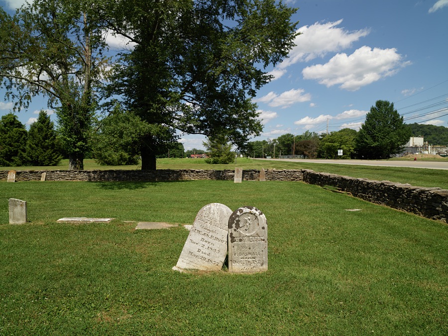
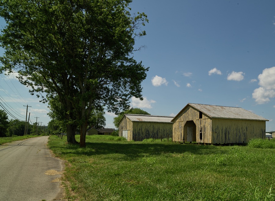
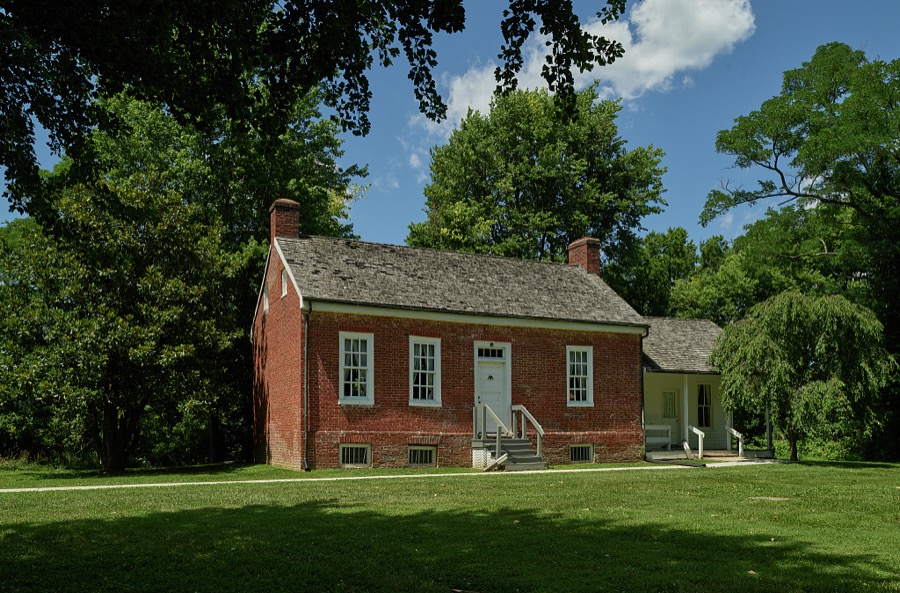
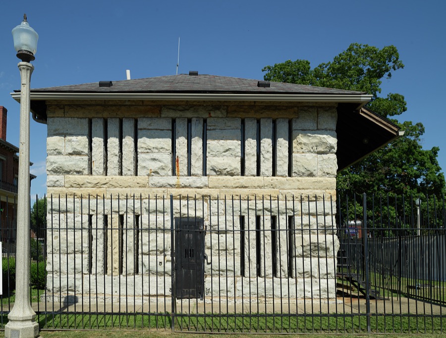
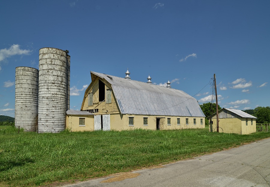

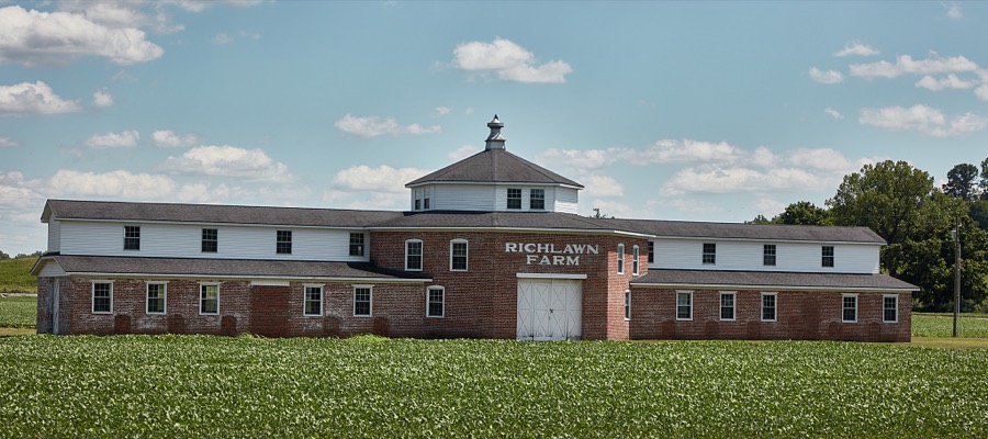
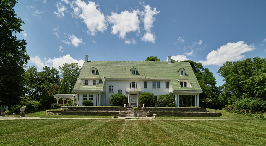
Every property in this county listed on the National Register of Historic Places, with the year it was listed and the federal nomination document.
| Photograph | Property | Type | Listed | Reference |
|---|---|---|---|---|
| Paschal Todd Baker House | building | 1980 | 80001496 | |
 | Gen. William O. Butler House | building | 1976 | 76000861 |
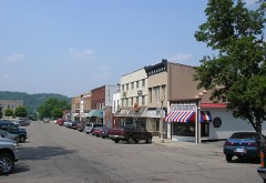 | Carrollton Historic District | district | 1982 | 82001553 |
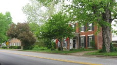 | Ghent Historic District | district | 1983 | 83002623 |
| Grass Hills | building | 1975 | 75000743 | |
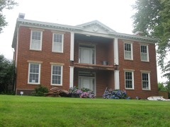 | Hunter's Bottom Historic District | district | 1976 | 76000862 |
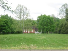 | Richard Masterson House | building | 1975 | 75000742 |
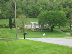 | Henry Ogburn House | building | 1987 | 87000149 |
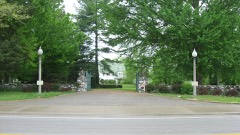 | Richlawn Farm | building | 2000 | 00000274 |
| Stone House on Kentucky River | building | 1987 | 87000151 | |
| Turpin House | building | 1977 | 77000606 |
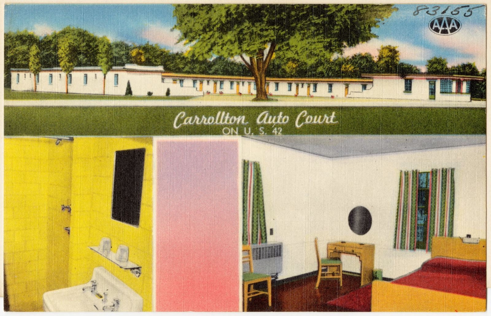
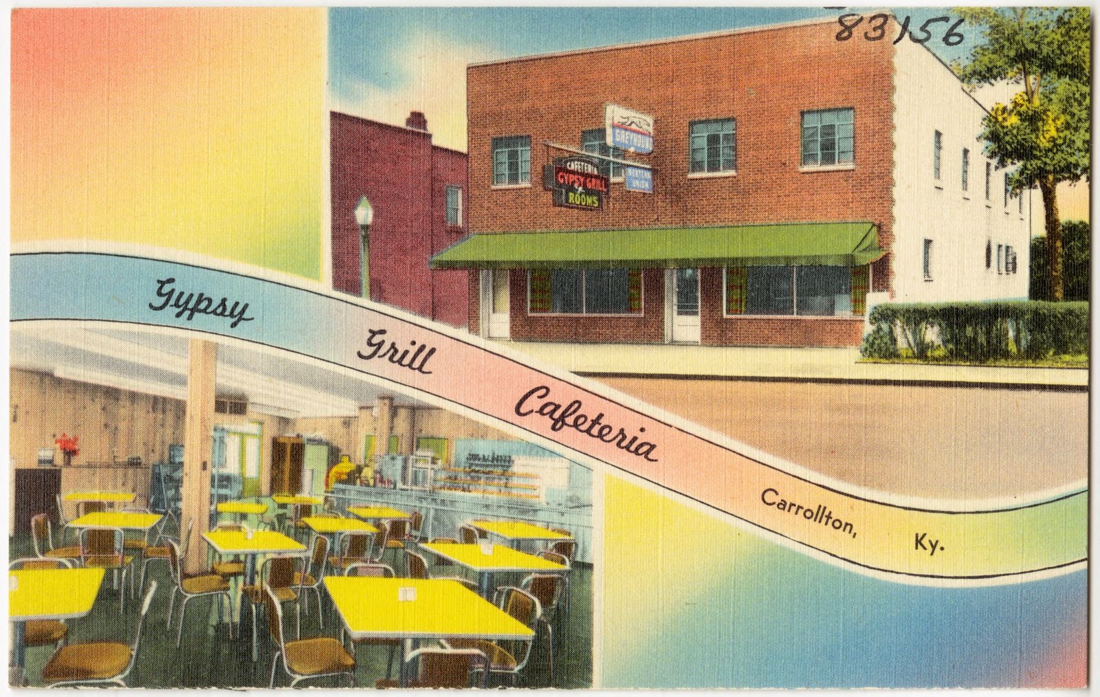
Selected from the Digital Public Library of America's 2 image records catalogued for this county. Every one shown here carries a public-domain status or a licence that permits reuse on a site that carries advertising; non-commercial, share-alike and restricted images are excluded. The selection is spread across the county's towns (at most eight per town), so no single institution's bulk upload crowds out the rest. Each opens the holding library's record, and the complete set at the Digital Public Library of America is one click away.
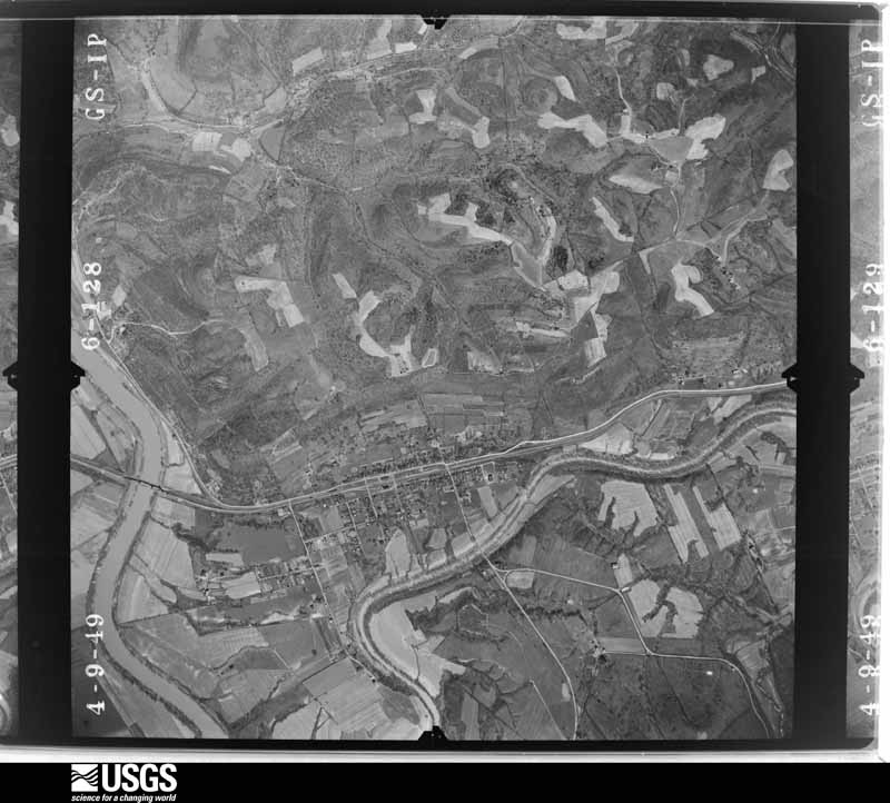
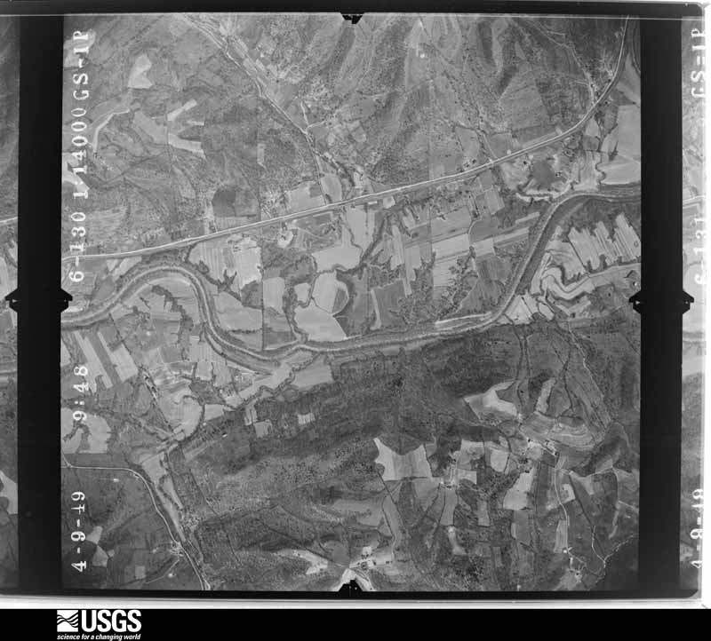
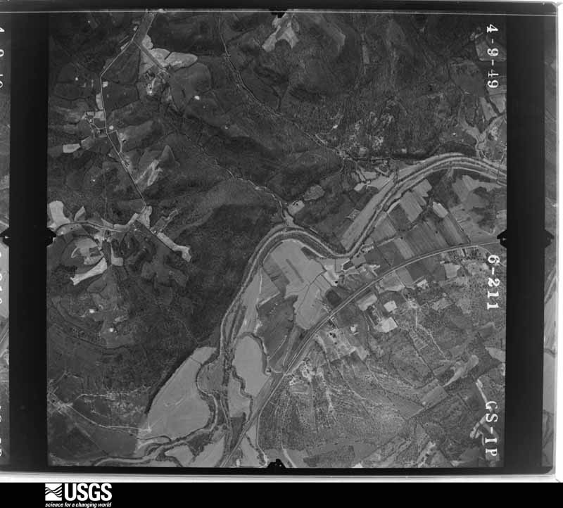
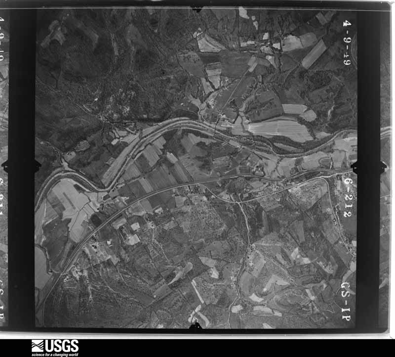
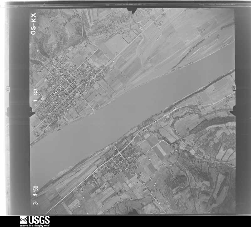
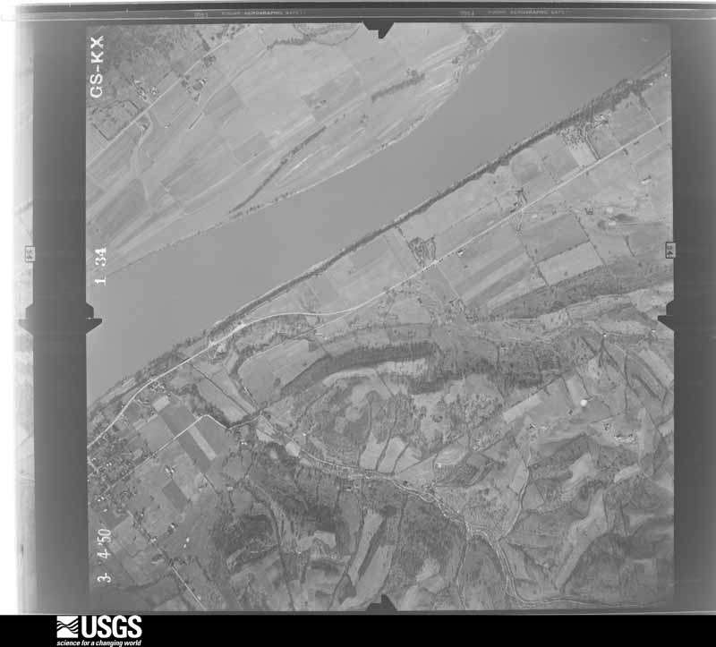
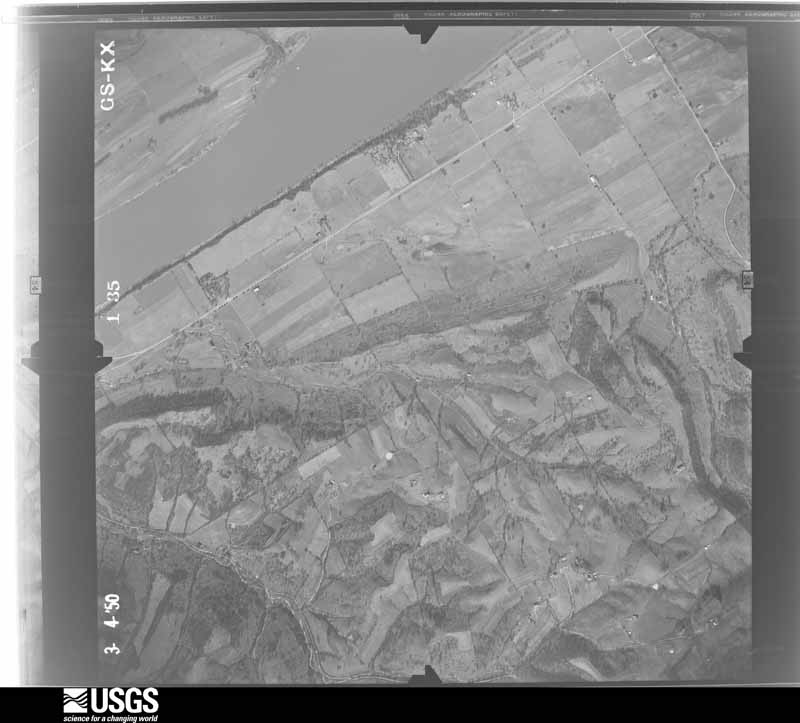
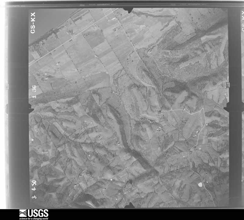
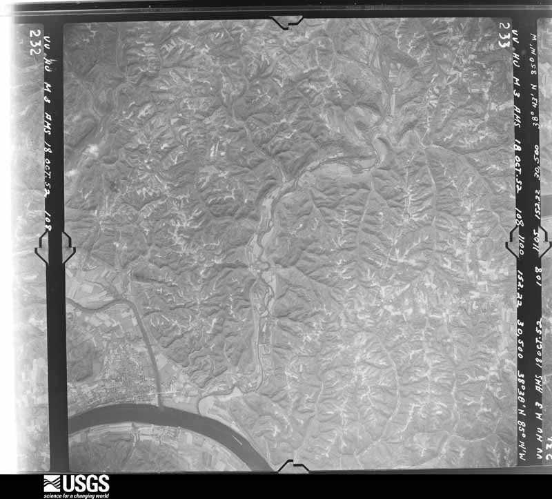
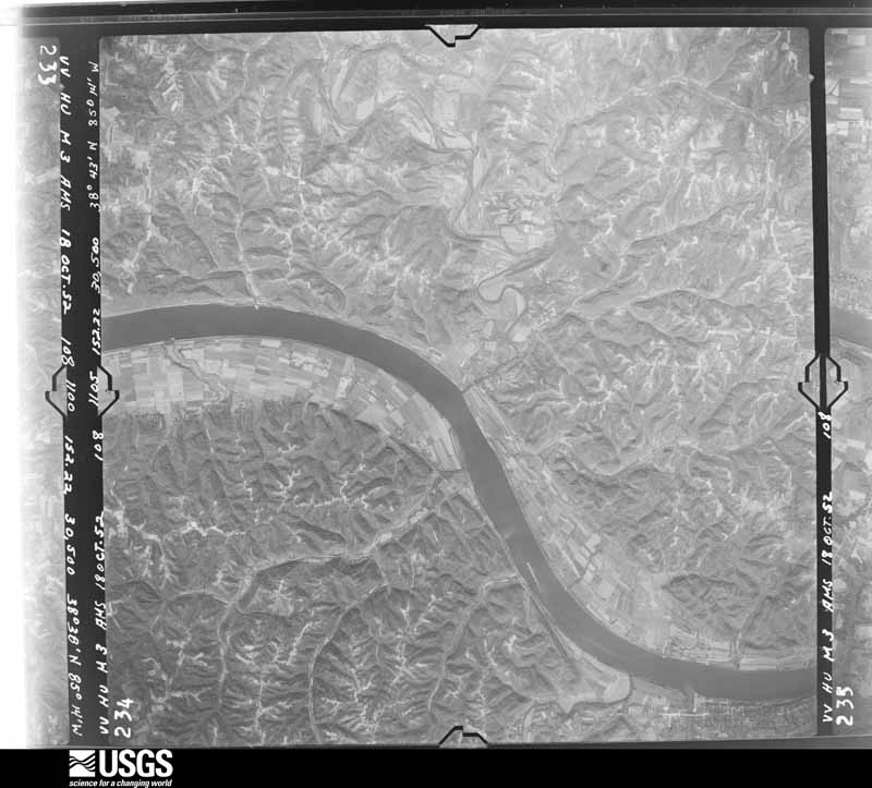
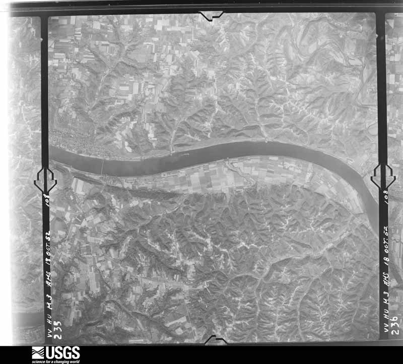
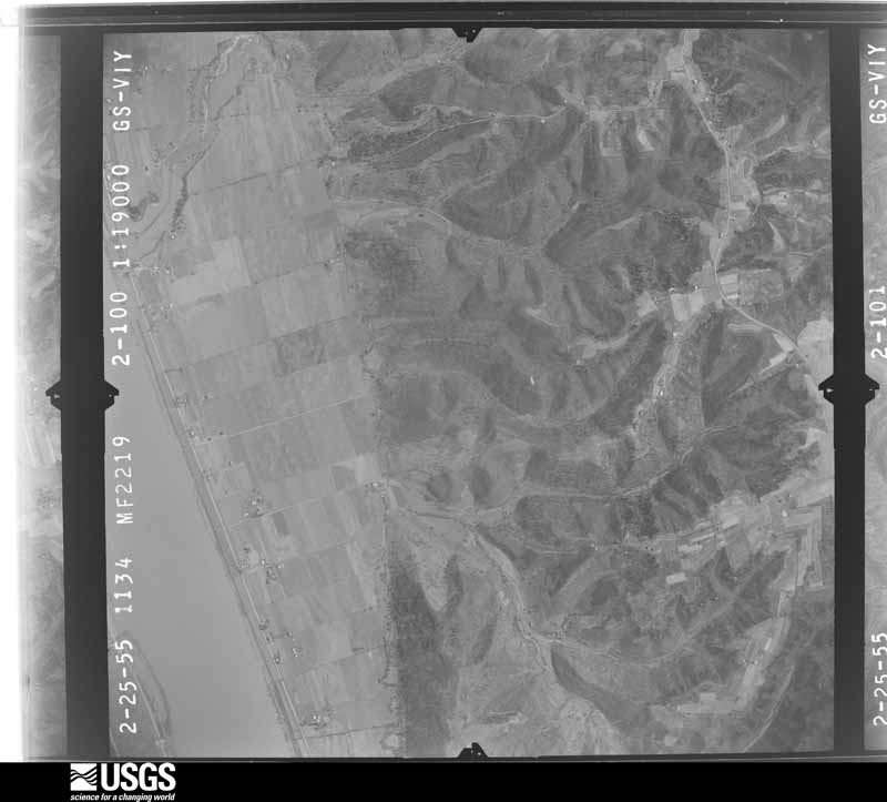
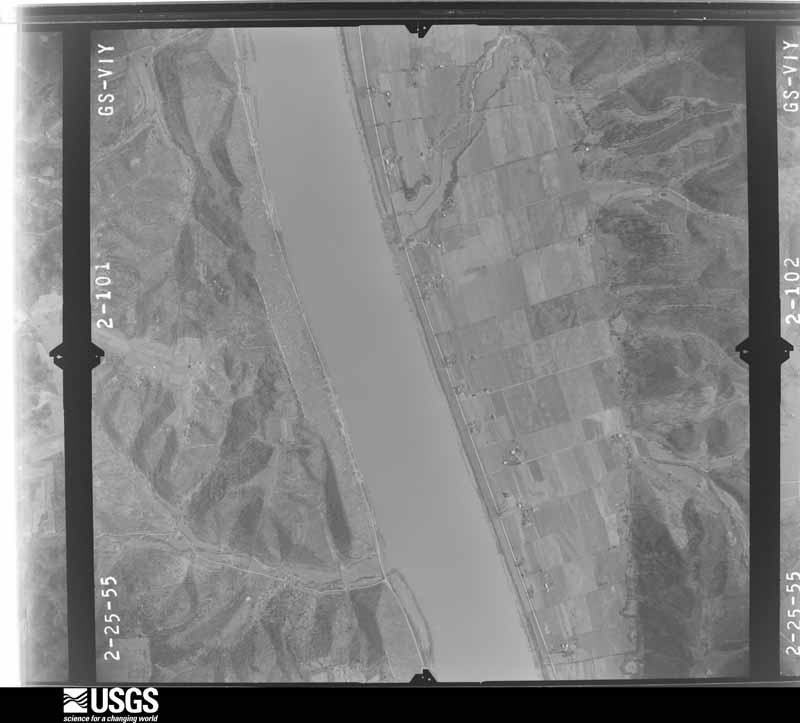
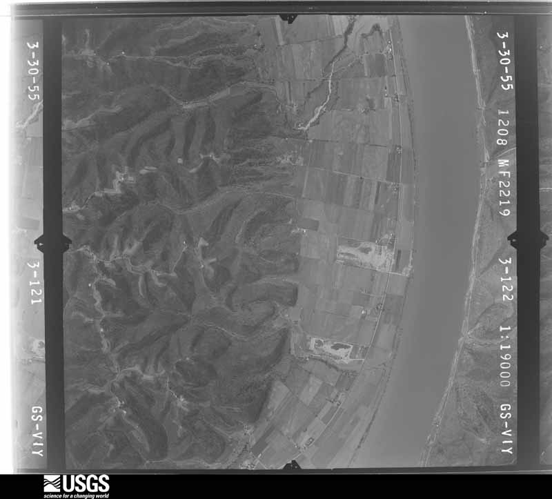
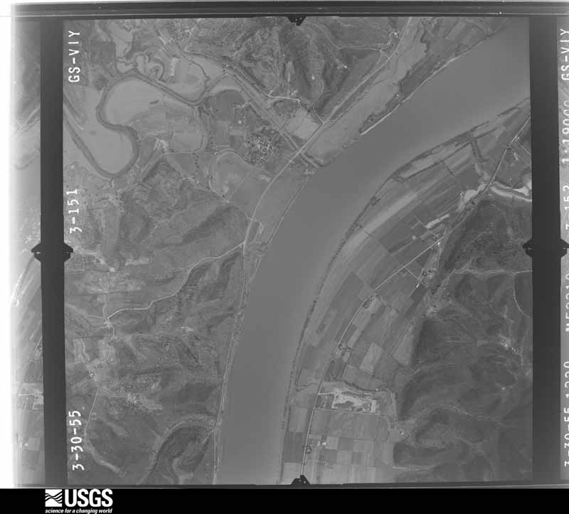
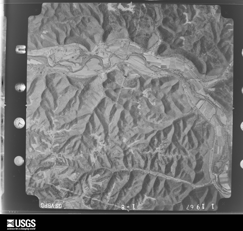
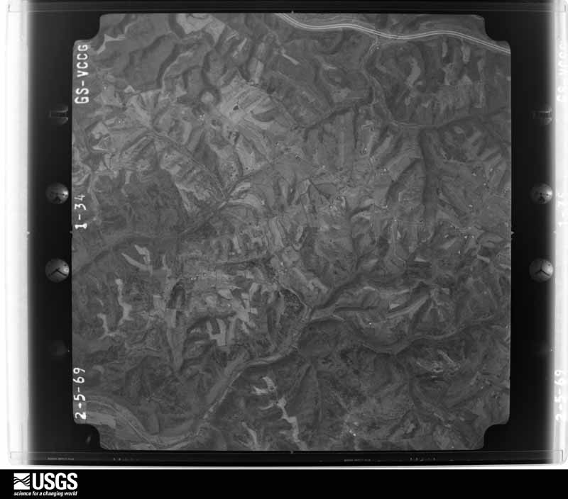
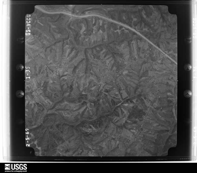
Flown by the U.S. Geological Survey between 1937 and 1989, the Aerial Photo Single Frames collection is the definitive mid-century view of the land: fields, roads and rivers as the camera saw them. The Survey holds 709 frames inside the rectangle that bounds this county; the 28 frames below were taken over the county itself, chosen across the decades of flights (at most four a year from that rectangle), so one flight cannot crowd out the rest. The full set is free to browse and download at EarthExplorer under the dataset Aerial Photo Single Frames.

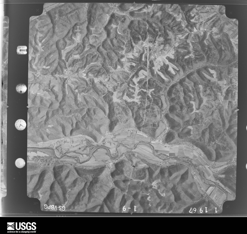
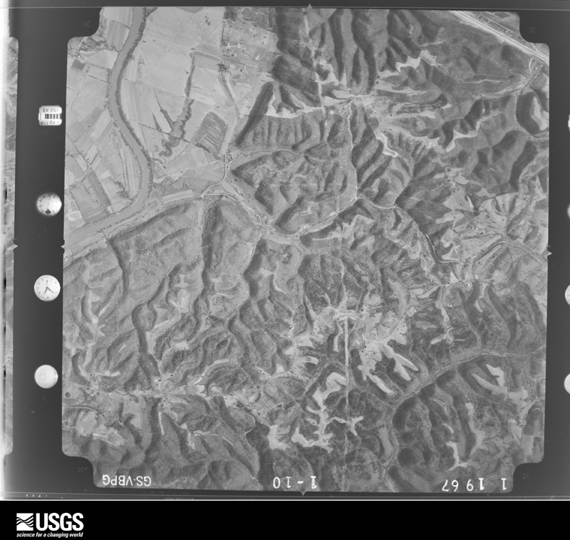
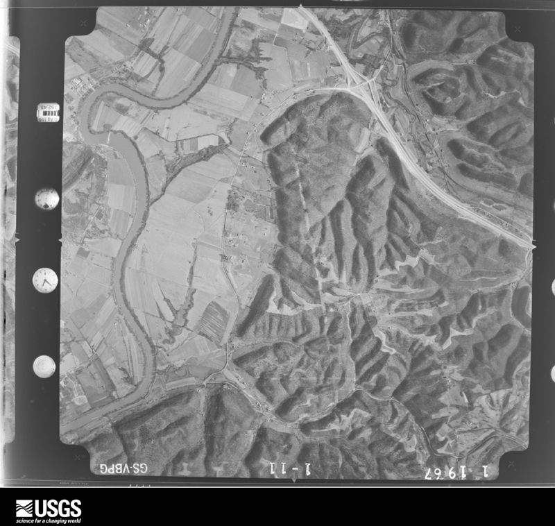
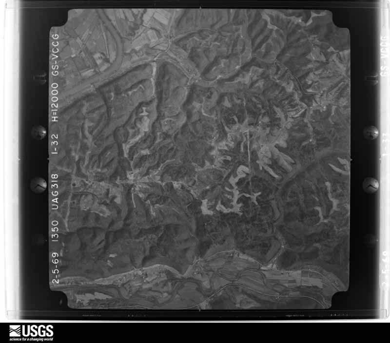





The thermometers that kept this county's weather, as the federal records hold them. The extremes below are measured values from those records, not estimates.
Who lived here in 1950, one enumeration district at a time, as the Census Bureau described each district. Each row opens its official National Archives result, with Population Schedules and ED Maps available there.
Every wildfire the federal occurrence database records inside this county: 5 of them, burning about 26 acres. None started naturally and none was recorded as arson. Each settlement page carries the fires within five miles of it.
| Reported cause | Fires |
|---|---|
| Debris and open burning | 2 |
| Missing data/not specified/undetermined | 2 |
| Recreation and ceremony | 1 |
The five largest, by the area the report gives. None of them was recorded as arson.
| Date | Cause | Size | Reported by | Name on the report |
|---|---|---|---|---|
| 17 March 2009 | Recreation and ceremony | 15 acres | Kentucky Division of Forestry | not named |
| 11 April 1999 | Debris and open burning | 4.0 acres | Kentucky Division of Forestry | not named |
| 1 April 2000 | Debris and open burning | 3.0 acres | Kentucky Division of Forestry | not named |
| 11 October 2004 | Missing data/not specified/undetermined | 2.0 acres | Kentucky Division of Forestry | not named |
| 28 February 2004 | Missing data/not specified/undetermined | 2.0 acres | Kentucky Division of Forestry | not named |
Every settlement page carries the fires within five miles of it - see the settlement index below.
The NOAA Storm Events Database holds 176 reports for this county, causing 1 death, 18 injuries and about $7,864,750 in recorded property damage. Each settlement page carries the reports that name it.
| Kind of event | Reports |
|---|---|
| Thunderstorm Wind | 90 |
| Hail | 28 |
| Flash Flood | 27 |
| Flood | 18 |
| Tornado | 10 |
| Heavy Rain | 3 |
The most serious of them, by death, then injury, then recorded damage. The accounts are quoted exactly as the forecast office filed them.
| When | Event | Place named | Harm | What the report says |
|---|---|---|---|---|
| November 1992 | Tornado (F4) | not stated | 1 killed, 9 hurt, $2,500,000 | no account filed |
| February 1959 | Tornado (F3) | not stated | 6 hurt, $2,500,000 | no account filed |
| June 1990 | Thunderstorm Wind | not stated | 2 hurt | no account filed |
| July 2012 | Thunderstorm Wind | Locust | 1 hurt, $10,000 | Multiple trees were reported down in the area. One tree fell on a car, injuring one person. |
| March 2012 | Tornado (EF1) | Locust | $1,277,000 | The tornado initially touched down in Trimble County at 1541 EST, causing extensive EF2 and some EF3 damage south of Milton, before weakening. While in Trimble County, the tornado traveled 3.26 miles and had a maximum width of 75 yards. Based on the damage survey conducted in Trimble County, the maximum estimated wind speed of the tornado at that time was 140 miles per hour. The tornado then entered Carroll County at 1544 EST. The EF1 damage in Carroll County began near the county line near the junction of East Prong Locust Road and Wrights Ridge Road. At this point the path width of the tornado had decreased to 150 yards. The path continued east northeast along Kings Ridge Road. The path then continued east northeast to Route 42 in the vicinity of Kemper Lane near the Harbor Pointe Estates community. The path briefly continued after that before diminishing. Damage in Carroll County was consistent with a high end EF0 to low end EF1 tornado. Several structures had minor to more significant roof damage, with some structures losing over 25 percent of the roof structure. Several barns were destroyed, as well as widespread hardwood tree damage. These trees were either snapped or uprooted. At least two mobile homes were destroyed. Based on this survey, the maximum estimated wind speed of this tornado while in Carroll County, was 95 miles per hour. Damage estimates in Carroll County are 1,277,000 dollars. |
| March 1997 | Flash Flood | Countywide | $500,000 | no account filed |
| March 2017 | Thunderstorm Wind | Carrollton | $200,000 | Numerous houses, buildings and churches sustained significant roof damage. There was also substantial damage to a concrete building. In addition, dozens of trees were downed. |
| April 2014 | Flash Flood | Locust | $100,000 | A mudslide caused by heavy rain destroyed a single family home near State Route 36 and Notch Lick Road. The foundation was undermined. The home was unoccupied. |
| May 2014 | Thunderstorm Wind | English | $70,000 | Damage occurred to a house and 2 barns were destroyed along Highway 389 due to thunderstorm winds. Numerous trees were also downed in the area. |
| March 2024 | Tornado (EF2) | Locust | $50,000 | The tornado first developed in Jefferson County, Indiana, at 1258EST, on the north side of Hanover. The tornado moved east across the Ohio River into Trimble County, Kentucky, and then into Carroll County at 1308EST. ||There was extensive tree damage just inside of western Carroll County where winds were estimated to be 115 mph, EF-2 strength, before weakening across the rugged Fairview ridge. There was one large barn along Hampton Road that had extensive roof paneling damage and a door blown out. Wind speeds here were estimated to be 90 mph, EF-1. There was a lot of topped tree damage along Locust Creek and Kentucky State Route 36, where wind speeds were estimated to be 85 mph, EF-0.||At 1315EST, the tornado moved across the Ohio River again and back into Jefferson County, Indiana. The tornado continued east across southwest Switzerland County, Indiana, before crossing the Ohio River one more time and moving back into Carroll County, Kentucky, and ending at 1324EST, 2 miles east of Carrollton. |
| January 2000 | Flash Flood | Countywide | $50,000 | Persistent heavy rainfall caused 9 roads to be closed across the county. Also, a few evacuations became necessary as the water rose. |
| June 2022 | Thunderstorm Wind | Carrollton | $25,000 | Two trees were downed, one on a house and another on a car. |
| July 2015 | Flash Flood | English | $25,000 | Tom Town Road was washed out near Pryor Branch Road. |
| May 1996 | Flash Flood | Countywide | $25,000 | no account filed |
| July 1988 | Tornado (F0) | not stated | $25,000 | no account filed |
| September 1976 | Tornado (F1) | not stated | $25,000 | no account filed |
| May 1957 | Tornado (F2) | not stated | $25,000 | no account filed |
| June 2025 | Thunderstorm Wind | Prestonville | $20,000 | A large tree fell onto a car and a house. |
| March 2024 | Tornado (EF0) | Prestonville | $20,000 | The tornado first developed in Jefferson County, Indiana, at 1258EST, on the north side of Hanover. The tornado moved east across the Ohio River into Trimble County, Kentucky, and then into Carroll County, Kentucky, at 1308EST. The tornado moved across the Ohio River again and back into Jefferson County, Indiana, and then Switzerland County, Indiana, before crossing the Ohio River one more time and moving back into Carroll County, Kentucky, at 1322EST, just east of Carrollton on US 42. The tornado was very narrow at this point and produced some sporadic tree damage before ending at 1324EST. Wind speeds were estimated to be around 75 mph, EF-0. The Kentucky Mesonet site 2E of Carrollton measured 68 mph as the weakening tornado lifted. |
| June 2022 | Thunderstorm Wind | Prestonville | $20,000 | A few power poles were downed in the 1200 block of Highland Avenue. |
| September 2022 | Flash Flood | Prestonville | $20,000 | High water was flowing across 10th Street. |
| May 2014 | Thunderstorm Wind | Carrollton | $20,000 | A warehouse at Polk and 11th Street in Carollton was damaged and 3 large limbs were downed due to thunderstorm winds. |
| July 2003 | Flash Flood | Carrollton | $20,000 | High water flooded a few roads. Several homes sustained basement flooding in town. |
| November 1996 | Thunderstorm Wind | Carrollton | $20,000 | no account filed |
| June 2025 | Thunderstorm Wind | Carrollton | $15,000 | A large tree fell onto a house. Numerous trees were also downed across the county. |
| March 2019 | Thunderstorm Wind | Locust | $10,000 | Several homes sustained roof damage. |
| July 2012 | Thunderstorm Wind | Carrollton | $10,000 | Tree limbs were reported down in the city and trees were downed around the county due to damaging thunderstorm winds. |
| August 2009 | Thunderstorm Wind | Sanders | $10,000 | One power pole and numerous power lines were down due to the damaging thunderstorm winds. |
| August 2009 | Flash Flood | Prestonville | $10,000 | Water was reported rushing over roads and entering a gas station building. |
| February 2000 | Flash Flood | Countywide | $10,000 | Several hours of heavy rainfall caused creeks to flood out of their banks. |
| November 2000 | Thunderstorm Wind | Carrollton | $10,000 | Winds knocked down large limbs and snapped power poles. |
| August 2000 | Thunderstorm Wind | Countywide | $10,000 | Numerous trees knocked down across the county. |
| June 1999 | Thunderstorm Wind | Central Portion | $10,000 | Several trees were knocked down through the county. A roof was reportedly blown off of a house and a barn. |
| June 2019 | Thunderstorm Wind | Chent | $9,000 | A tree was knocked down onto a car in Ghent. |
| May 2005 | Thunderstorm Wind | Countywide | $8,000 | Trees were downed. |
| May 2004 | Thunderstorm Wind | Countywide | $8,000 | Trees were downed. |
| April 2026 | Thunderstorm Wind | Eagle Station | $7,000 | Several trees were downed and a couple of sheds were damaged. |
| July 2024 | Thunderstorm Wind | Chent | $7,000 | A few trees and power lines were downed in Ghent. |
| February 2021 | Flood | Sanders | $6,000 | Three vehicles required water rescues on State Highway 36 along Eagle Creek. |
| August 2007 | Thunderstorm Wind | Carrollton | $6,000 | Trees were downed countywide. |
| April 2011 | Thunderstorm Wind | Carrollton | $5,000 | A large tree fell on a house due to the winds. |
| October 2010 | Thunderstorm Wind | Carrollton | $5,000 | Large tree limbs and power lines were reported down countywide due to damaging thunderstorm winds. |
| March 2008 | Flood | Locust | $5,000 | State Route 36 was flooded and closed outside of Carrollton. Several other roads were flooded throughout the county. |
| July 2001 | Thunderstorm Wind | Countywide | $5,000 | Trees knocked down across the county. |
| July 2000 | Thunderstorm Wind | Eagle Station | $5,000 | Numerous trees downed. |
| August 2000 | Thunderstorm Wind | Worthville | $5,000 | Numerous trees downed. |
| August 2000 | Flash Flood | Countywide | $5,000 | Heavy rainfall caused the closing of Highway 42. |
| August 2000 | Thunderstorm Wind | Countywide | $5,000 | Trees downed across the county due to thunderstorm winds. |
| April 1993 | Thunderstorm Wind | not stated | $5,000 | Several trees were snapped and uprooted 1 mile east of Carrollton. |
| May 1996 | Thunderstorm Wind | Countywide | $5,000 | no account filed |
| April 2026 | Thunderstorm Wind | Locust | $4,000 | A few trees were downed in the 2300 block of U.S. Route 42. |
| April 2026 | Thunderstorm Wind | Carrollton | $4,000 | A few trees were downed on both Hawkins and Taylor Streets. |
| May 2024 | Thunderstorm Wind | Carrollton | $4,000 | A few trees were downed. |
| May 2024 | Thunderstorm Wind | Chent | $4,000 | A few trees were downed along Black Rock Road. |
| April 2006 | Thunderstorm Wind | Carrollton | $4,000 | Tree limbs were knocked down. |
| July 2024 | Thunderstorm Wind | Carrollton | $3,000 | A few trees were downed in the Carrollton area, including one on Martin Road and one on State Route 55. |
| May 2022 | Thunderstorm Wind | Locust | $3,000 | A few trees were downed onto State Route 36 West. |
| March 2019 | Thunderstorm Wind | Locust | $3,000 | Several large trees were downed. |
| June 2019 | Thunderstorm Wind | Chent | $3,000 | A few trees were knocked down. |
| June 2019 | Thunderstorm Wind | Carrollton | $3,000 | Three large trees were snapped at the intersection of 6th Street and Village Lane. |
The Survey's mineral resources record lists 1 working inside this county. It still produces. Each settlement page carries the workings within five miles of it.
| Commodity | Workings |
|---|---|
| Sand and Gravel, Construction | 1 |
The least common of them first, because a county's hundredth gravel pit says nothing its first ten did not.
| Where | Site | Commodity | Status | Recorded |
|---|---|---|---|---|
| Milton Plant | Sand and Gravel, Construction | Producer |
Named settlements recorded in the Geographic Names Information System, each with the topographic sheets covering it. Villages, hamlets and abandoned places alike. Each is shown with the nearest named watercourse or landform and the survey quadrangle it falls on. The 1 place that was also surveyed for fire insurance comes first, with the number of atlases and photographs held for them.
Carrollton census division · 41008 · On Kentucky River · Carrollton quadrangle
12 sheets, 1943 to 1990
Fire insurance: 8 atlases
Prestonville census division · 41008 · On Lees Creek · Carrollton quadrangle
12 sheets, 1943 to 1990
Prestonville census division · 40045 · On Fairview Ridge · Madison East quadrangle
11 sheets, 1953 to 1990
No longer a settlement
Carrollton census division · 41045 · On Black Rock Creek · Vevay South quadrangle
11 sheets, 1943 to 1990
Prestonville census division · 40075 · On Lees Creek · Campbellsburg quadrangle
7 sheets, 1952 to 1990
No longer a settlement
Prestonville census division · 41008 · Near Wrights Ridge · Carrollton quadrangle
12 sheets, 1943 to 1990
Carrollton census division · 41098 · On Whites Run · Vevay South quadrangle
11 sheets, 1943 to 1990
Prestonville census division · 41008 · On Ellis Branch · Carrollton quadrangle
12 sheets, 1943 to 1990
No longer a settlement
Prestonville census division · 40045 · On East Prong Locust Creek · Madison East quadrangle
11 sheets, 1953 to 1990
Prestonville census division · 41008 · On East Fork Mill Creek · Campbellsburg quadrangle
7 sheets, 1952 to 1990
Prestonville census division · 41008 · On Ellis Branch · Carrollton quadrangle
12 sheets, 1943 to 1990
No longer a settlement
Prestonville census division · 40045 · On Notch Lick · Carrollton quadrangle
12 sheets, 1943 to 1990
No longer a settlement
Prestonville census division · 40075 · Worthville quadrangle
8 sheets, 1952 to 1990
No longer a settlement
Prestonville census division · 41008 · On Kentucky River · Carrollton quadrangle
12 sheets, 1943 to 1990
Carrollton census division · 41045 · Vevay South quadrangle
11 sheets, 1943 to 1990
No longer a settlement
Carrollton census division · 41083 · On Lick Creek · Sanders quadrangle
8 sheets, 1951 to 1986
Prestonville census division · 40011 · On Pryor Branch · Campbellsburg quadrangle
7 sheets, 1952 to 1990
No longer a settlement
Carrollton census division · 41098 · On Eagle Creek · Worthville quadrangle
8 sheets, 1952 to 1990
Prestonville census division · 40045 · On Wrights Ridge · Madison East quadrangle
11 sheets, 1953 to 1990
No longer a settlement
The vanished settlements of Carroll County: the places named above that are no longer on the map.
12 topographic sheets and 8 fire insurance atlases, 1886 to 1948