 Block
Martha, Kentucky
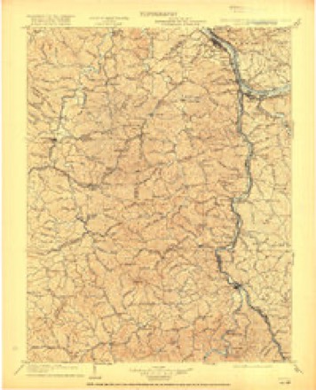
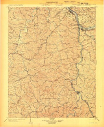
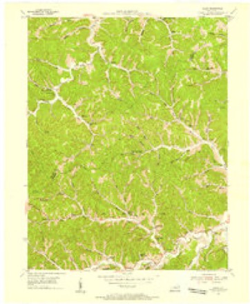
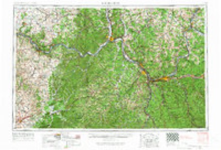
14 topographic sheets cover this place, the earliest surveyed in 1903 and the latest in 1982. It stands in the Blaine census division. It lies in ZIP code area 41124. It stands on Left Fork Blaine Creek. The Survey maps it on the Mazie quadrangle. It stands 699 feet above sea level.
Topographic sheets covering this place
6 surveys from 14 printed sheetsMatched by testing this settlement's coordinate against the published boundary of every sheet in the United States Geological Survey's historical collection. Each opens the scanned sheet at the Survey.
- 1903 USGS Kenova quadrangle1:125000, 5 printings
- 1904 USGS Kenova quadrangle1:125000
- 1953 USGS Mazie quadrangle1:24000, 3 printings
- 1957 USGS Huntington quadrangle1:250000, 3 printings
- 1960 USGS Huntington quadrangle1:250000
- 1982 USGS Huntington quadrangle1:100000
Fires near this place
91 since 1997Regional context, not property-specific evidence. The federal wildfire occurrence database lists 91 fires within 5 miles of Martha between 1997 and 2019, burning about 1,768 acres in total. 1 started naturally. 23 were recorded as arson. Distance is straight-line from the map coordinates, so a fire counted here may appear on a neighbouring settlement's page as well.
| Reported cause | Fires |
|---|---|
| Debris and open burning | 40 |
| Arson/incendiarism | 23 |
| Missing data/not specified/undetermined | 15 |
| Recreation and ceremony | 7 |
| Equipment and vehicle use | 4 |
| Railroad operations and maintenance | 1 |
| Natural | 1 |
The most recent of them, most recent first, with the day each was reported and the service that recorded it.
| Date | Cause | Size | Reported by | Name on the report |
|---|---|---|---|---|
| 9 September 2010 | Recreation and ceremony | 4.0 acres | Kentucky Division of Forestry | ROSS CREEK |
| 26 September 2008 | Debris and open burning | 5.0 acres | Kentucky Division of Forestry | not named |
| 30 June 2012 | Missing data/not specified/undetermined | 5.0 acres | Kentucky Division of Forestry | MILL CREEK |
| 4 May 2014 | Debris and open burning | 25 acres | Kentucky Division of Forestry | SCHOOL HOUSE BRANCH |
| 9 April 2017 | Missing data/not specified/undetermined | under an acre | Kentucky Division of Forestry | PATRICK BR |
| 9 April 2001 | Arson/incendiarism | 50 acres | Kentucky Division of Forestry | not named |
| 7 April 2011 | Recreation and ceremony | 2.0 acres | Kentucky Division of Forestry | BILLY SALYERS BRANCH |
| 7 April 2002 | Debris and open burning | 1.0 acres | Kentucky Division of Forestry | not named |
Settlements close enough to share some of these fires:
Storms near this place
17 since 2001Regional context, not property-specific evidence. The National Weather Service names Martha in 17 storm reports between 2001 and 2025: 7 hail, 4 flood, 3 flash flood, 2 thunderstorm wind. The reports record 2 deaths and 6 injuries. Each account below is quoted exactly as the forecast office filed it, from the NOAA Storm Events Database, and each date opens the federal record of that event.
| When | Event | Place named | Harm | What the report says |
|---|---|---|---|---|
| March 2012 | Tornado (EF3) | Martha | 2 killed, 6 hurt, $2,000,000 | The long tracked tornado reentered Lawrence County south of Blaine. The track moved near the Left Fork of Little Blaine Creek then across the Levisa Fork around the Chapman vicinity. The tornado exited into Wayne County, West Virginia, just north of Clifford, near the Donithon Branch vicinity.||A double wide mobile home along Spencer Branch was lifted off its cinder block foundation and slammed into the adjacent hillside. Rescue workers extricated 3 people including an elderly couple and a 14 year old girl. The 65 year old grandmother and the 14 year old girl were killed. The 75 year old grandfather was seriously injured but survived. Two other juvenile occupants of the house escaped without injury. A neighbor in another damaged house was also injured with a broken leg. In the Chapman vicinity, a family of 4 took shelter in their bathtub. The house was destroyed, but they survived. ||Maximum wind gusts of 140 to 150 mph were estimated near Clifford.||Damage assessment in the county included 30 homes destroyed. Another 9 homes had major damage. Over 200 people were approved for individual assistance or housing assistance from FEMA. Over $300,000 was used on debris cleanup and road repairs. The Blaine community building was also damaged. |
| April 2015 | Flood | Martha | $75,000 | The larger creeks flooded in the wake of the heaviest rain. Blaine Creek rose about 15 feet in the vertical and crested around 19 feet between midnight and dawn on the 4th. Roads, including Route 32, were flooded. |
| July 2015 | Flood | Martha | $25,000 | After the flash flooding along the small streams and larger creeks, Blaine Creek continued to overflow onto Routes 32 and 201 during the daylight morning hours. |
| June 2014 | Flash Flood | Martha | $10,000 | Estimated rains of 2 to 2.5 inches in less than 3 hours caused minor flash flooding along the headwaters of the Left Fork of Blaine Creek, including its Prince Branch. Roads were flooded including Route 1715. |
| April 2015 | Hail | Martha | $5,000 | Hail as large as half dollars fell. |
| April 2015 | Hail | Martha | $5,000 | Hail as large as half dollars fell. |
| July 2001 | Flash Flood | Martha | $4,000 | Blaine Creek flooded roads and a campground. |
| April 2018 | Thunderstorm Wind | Martha | $1,000 | Multiple large tree limbs were blown down along Highway 32. |
| January 2022 | Flash Flood | Martha | $500 | A portion of Kentucky Route 469 was impassable due to flooding. |
| February 2025 | Flood | Martha | - | Blaine Creek near Blaine exceeded a bankfull level of 17 feet and then rose to a crest just over 18 feet the afternoon of February 8. The river then returned below bankfull that night. While out of its banks, flooding occurred along low sections of County Route 201 near Blaine, low sections of Route 32, the back lot and playground of Blaine Elementary School, Blaine Community Park, and agricultural fields adjacent to the creek. |
| February 2025 | Flood | Martha | - | Blaine Creek near Blaine exceeded a bankfull level of 17 feet on the night of February 15th. The creek crested around 18.5 feet early the next morning, then gradually receded below bankfull the evening of the 16th. While the creek was out of its banks, flooding occurred along the intersection of Left Fork and Right Fork Laurel Roads, low sections along KY Route 32, and in the back lot and playground of Blaine Elementary School. |
| July 2006 | Thunderstorm Wind | Martha | - | Large tree limbs were blown down along Route 32. |
| April 2015 | Hail | Martha | - | no account filed |
| October 2014 | Hail | Martha | - | no account filed |
| February 2012 | Hail | Martha | - | no account filed |
| May 2011 | Hail | Martha | - | no account filed |
| March 2011 | Hail | Martha | - | no account filed |
Nearest settlements
The eight closest, with where each one stands in the county. Distances are straight-line, computed from the Geographic Names Information System coordinates.
| Map | Place | Distance | Sheets |
|---|---|---|---|
| Cam Creek (historical) | 1.8 miles | 14 | |
| Skaggs | 1.9 miles | 14 | |
| Mazie | 3.4 miles | 14 | |
| Hannah | 3.4 miles | 15 | |
| Blaine | 3.9 miles | 15 | |
| Tarkiln (historical) | 4.1 miles | 17 | |
| Terryville | 4.2 miles | 17 | |
| Blevins | 4.5 miles | 14 |
Elsewhere
Matched on this settlement's Geographic Names Information System number rather than its name, so it cannot be a different place of the same name in another state.
| Wikipedia article on Martha | An encyclopaedic summary. Its text is share-alike, so it is linked here rather than copied. |
| Wikidata item Q14690904 | The structured record the population and elevation above come from. Public domain (CC0). |
Provenance
This settlement is recorded in the Geographic Names Information System as feature 508546. The sheet list is computed by point-in-boundary test against the United States Geological Survey's historical topographic inventory. Both are works of the United States government and carry no copyright under 17 U.S.C. 105.
Wildfire. Short, Karen C. 2022. Spatial wildfire occurrence data for the United States, 1992-2020 [FPA_FOD_20221014]. 6th Edition. Fort Collins, CO: Forest Service Research Data Archive. https://doi.org/10.2737/RDS-2013-0009.6 Collected with United States Government funding and usable without additional permissions or fees.
Storms. NOAA National Centers for Environmental Information, Storm Events Database https://www.ncei.noaa.gov/stormevents/ A work of the United States government, no copyright under 17 U.S.C. 105. Narratives are quoted verbatim from the National Weather Service report and are not edited or summarised.