 Block
From the record
10 National Register listings published here.
Sources: the National Register database, National Park Service
114 topographic sheets and 5 fire insurance atlases across 1 place.
10 National Register listings published here.
Sources: the National Register database, National Park Service
Every property in this county listed on the National Register of Historic Places, with the year it was listed and the federal nomination document.
| Photograph | Property | Type | Listed | Reference |
|---|---|---|---|---|
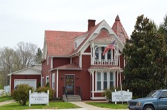 | Atkins-Carter House | building | 1988 | 88002044 |
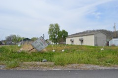 | Big Sandy Milling Company | building | 1988 | 88002045 |
 | First United Methodist Church | building | 1984 | 84000391 |
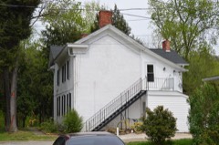 | Capt. Freese House | building | 1988 | 88002042 |
| Garred House, Chapel, and Burial Vault | building | 1975 | 75000790 | |
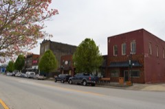 | Louisa Commercial Historic District | district | 1988 | 88002041 |
| Louisa Residential Historic District | district | 1988 | 88002040 | |
 | Louisa United Methodist Church | building | 1988 | 88002043 |
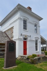 | Fred M. Vinson Birthplace | building | 1974 | 74000890 |
| Yatesville Covered Bridge | site | 1976 | 76000910 |
Lawrence County has 1 covered bridge on the National Register. Each is a listed structure with a federal nomination on file.
| Yatesville Covered Bridge | Listed 1976 |
Sampled issues, machine-read from the Library of Congress scan and published page by page, so every headline and column is searchable text.
Louisa, Ky., 1885 to 1929. Machine-read from the Library of Congress scan.
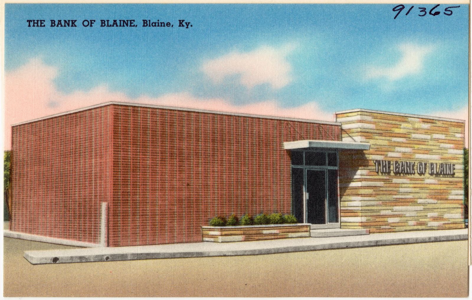
Selected from the Digital Public Library of America's 1 image records catalogued for this county. Every one shown here carries a public-domain status or a licence that permits reuse on a site that carries advertising; non-commercial, share-alike and restricted images are excluded. The selection is spread across the county's towns (at most eight per town), so no single institution's bulk upload crowds out the rest. Each opens the holding library's record, and the complete set at the Digital Public Library of America is one click away.
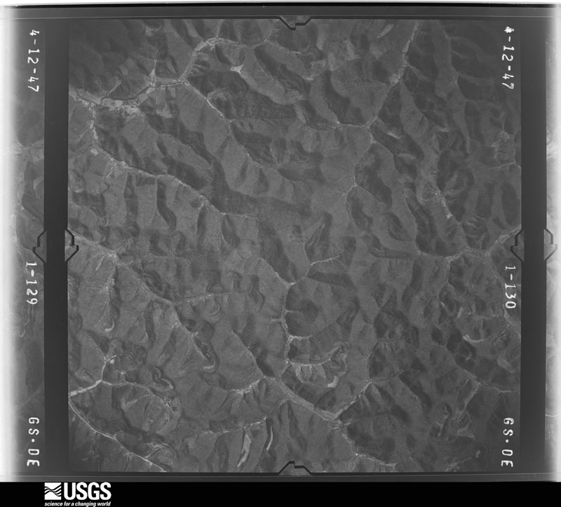
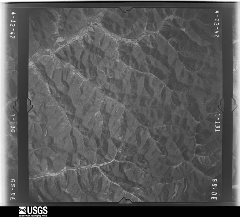
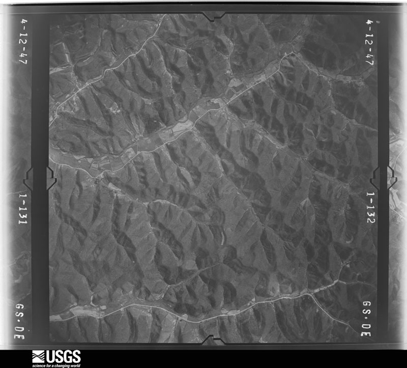
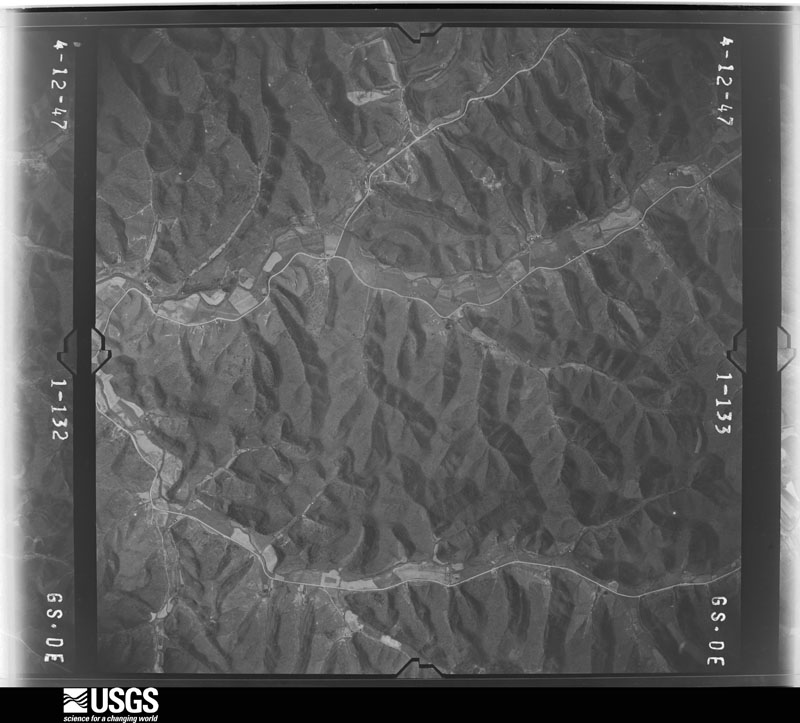
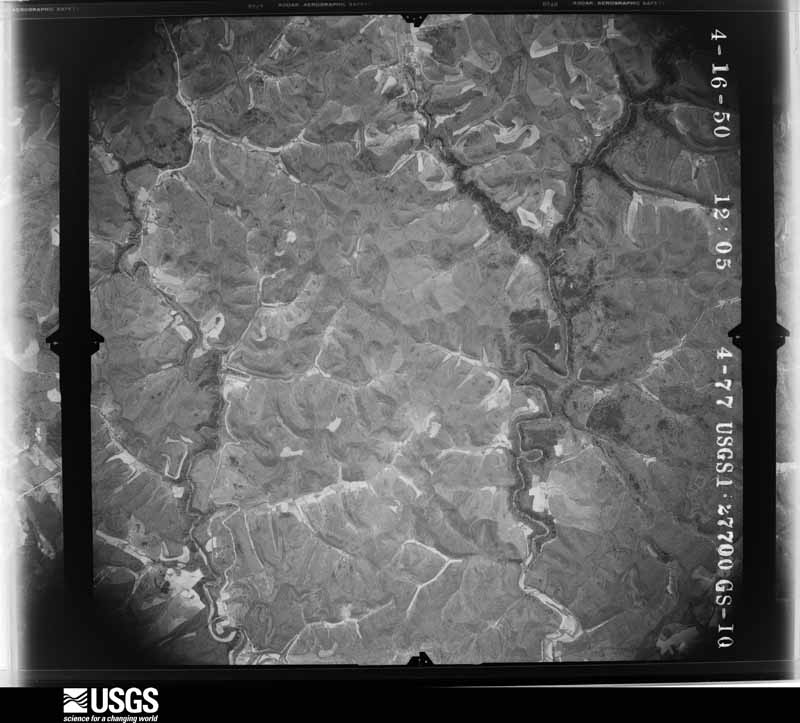
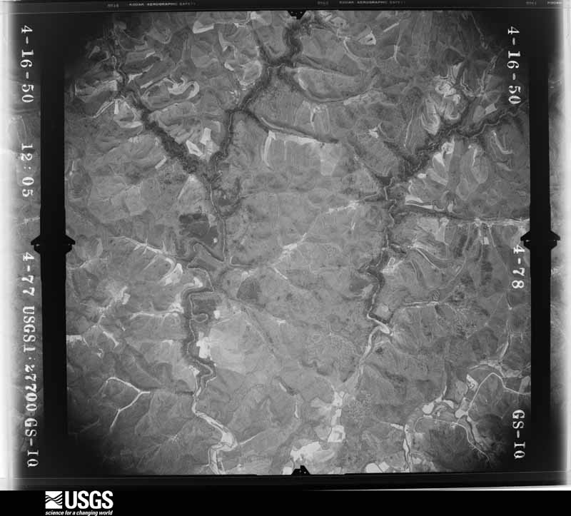
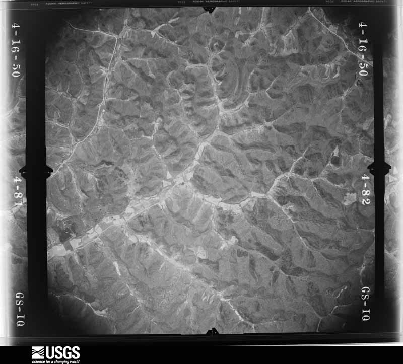
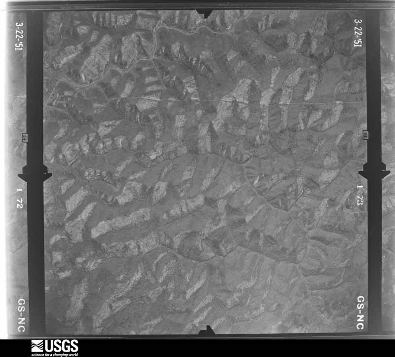
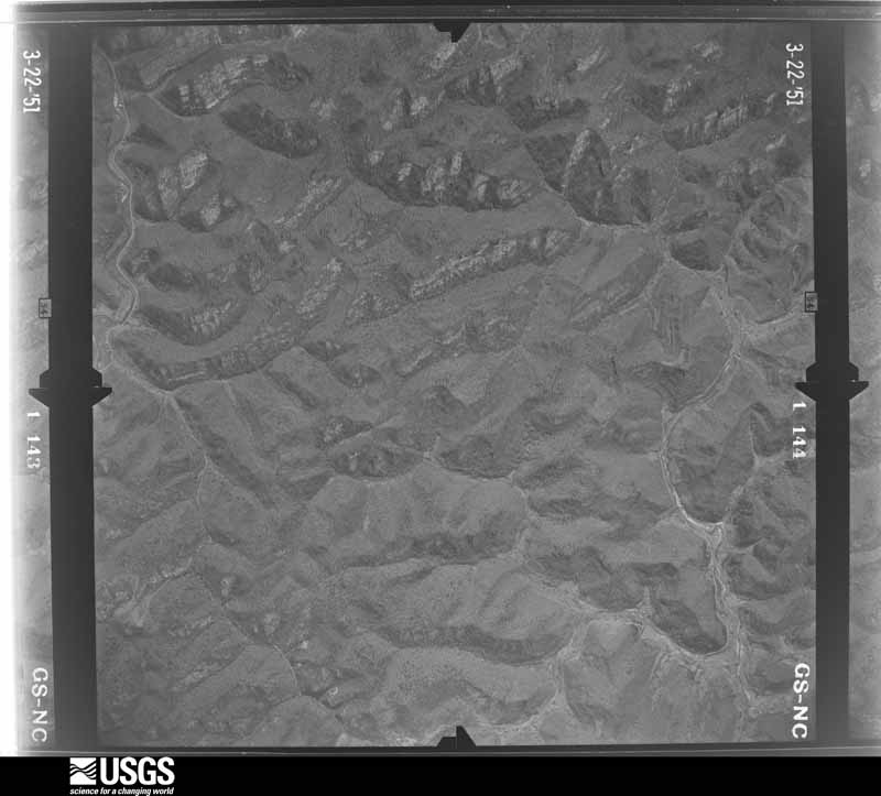
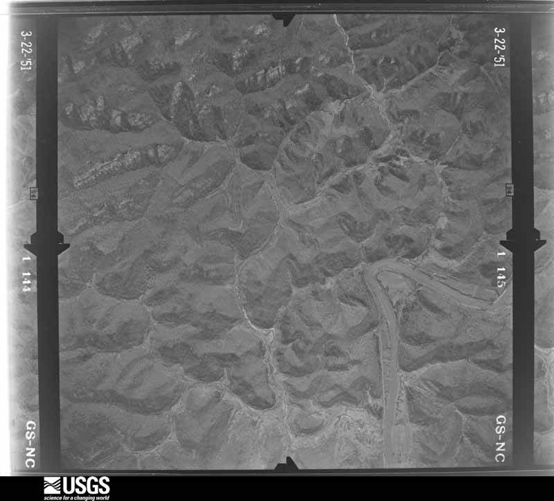
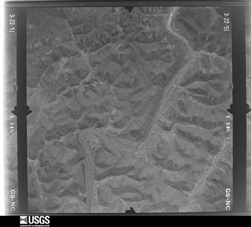
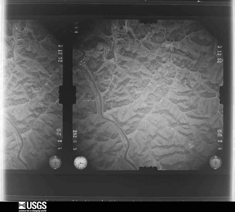
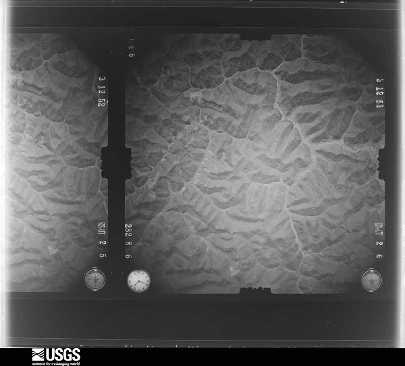
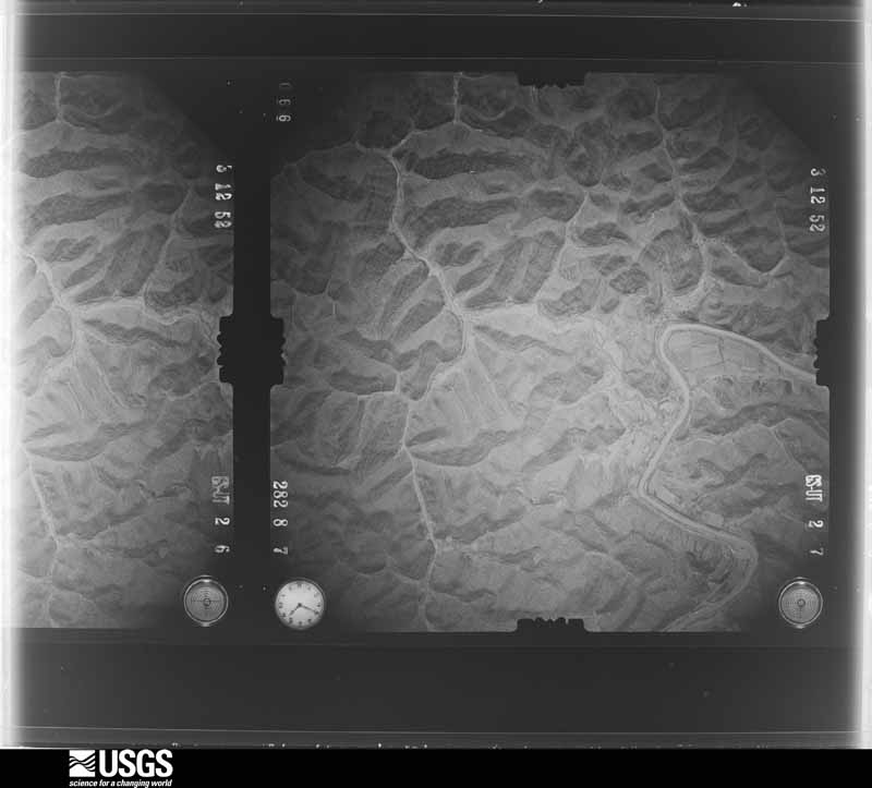
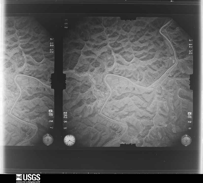
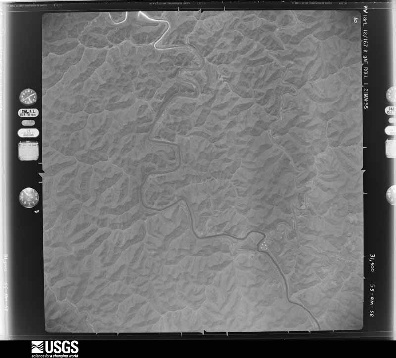
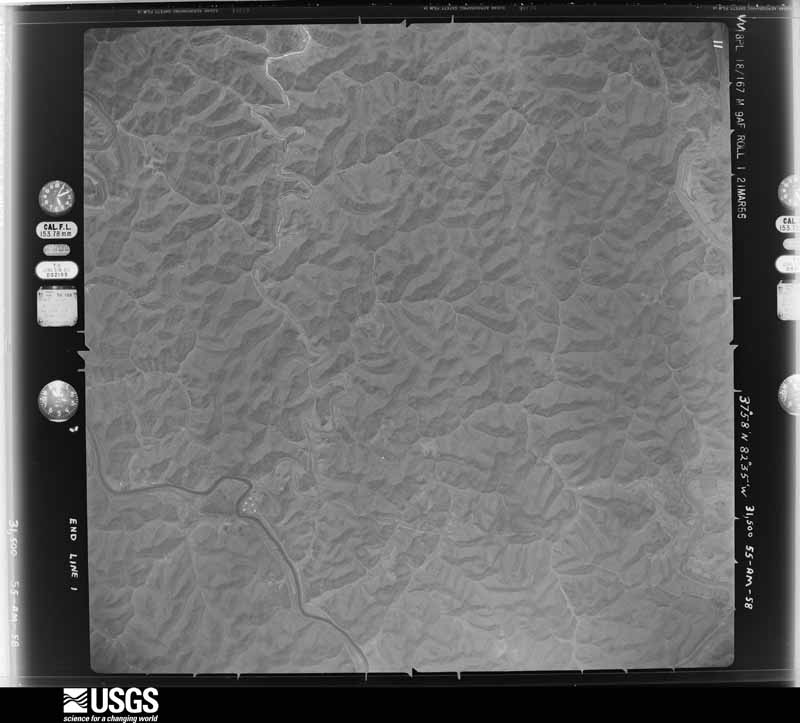
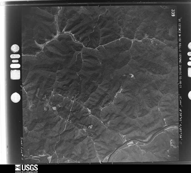
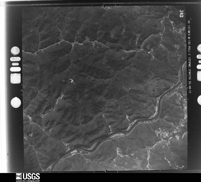
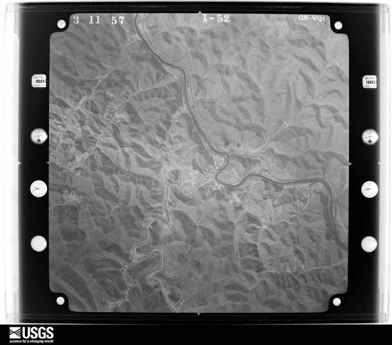
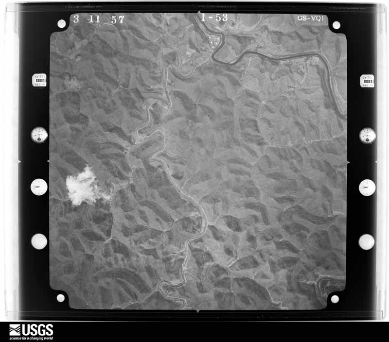
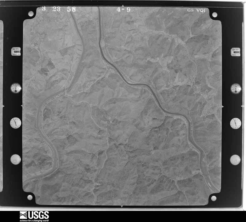
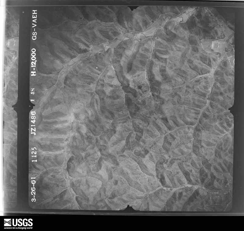
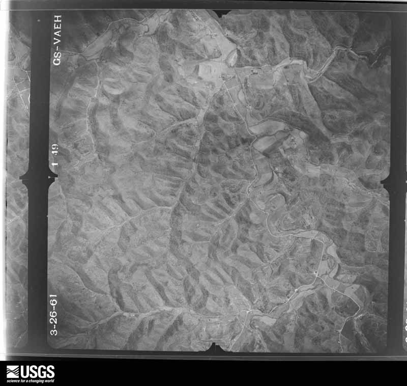
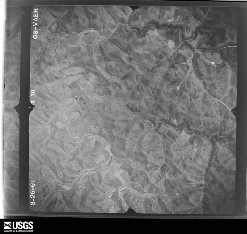
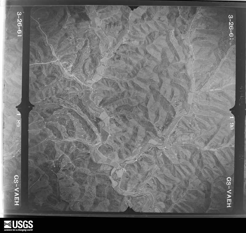
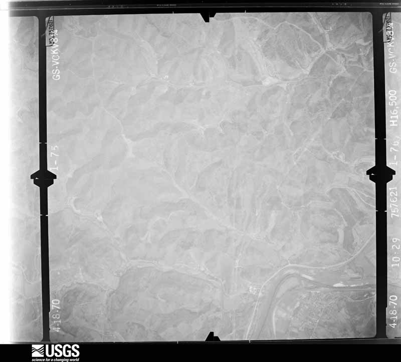
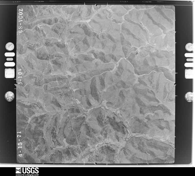
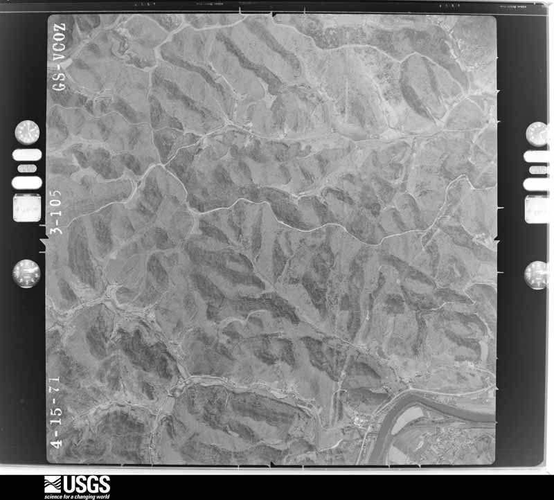
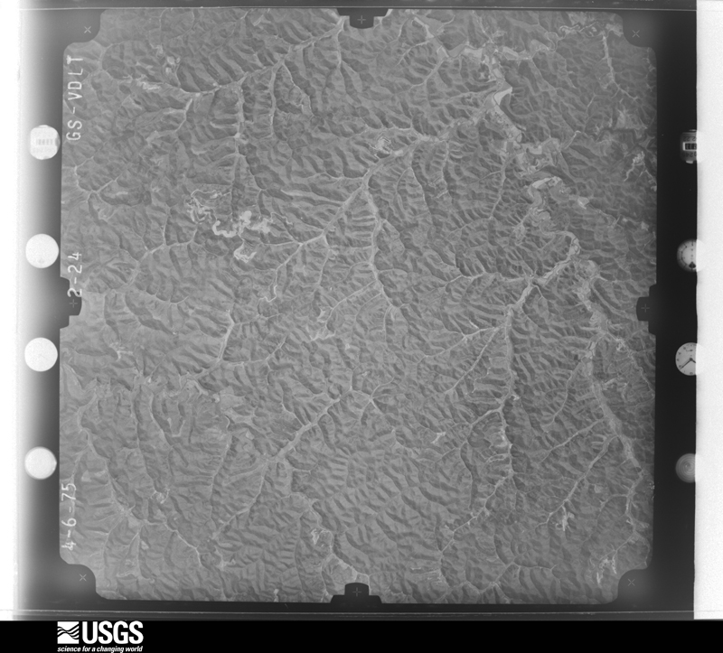
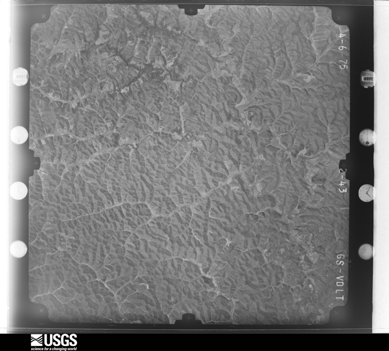
Flown by the U.S. Geological Survey between 1937 and 1989, the Aerial Photo Single Frames collection is the definitive mid-century view of the land: fields, roads and rivers as the camera saw them. The Survey holds 1,113 frames inside the rectangle that bounds this county; the 41 frames below were taken over the county itself, chosen across the decades of flights (at most four a year from that rectangle), so one flight cannot crowd out the rest. The full set is free to browse and download at EarthExplorer under the dataset Aerial Photo Single Frames.
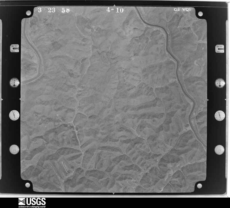
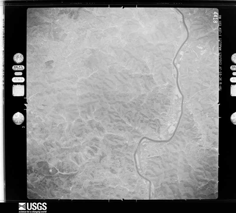
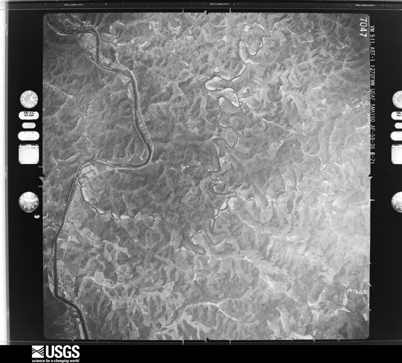
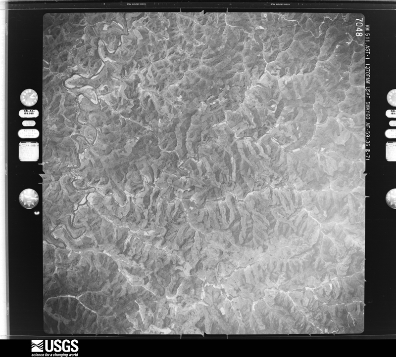






The thermometers that kept this county's weather, and the gages that measured the flow of its streams, as the federal records hold them. The extremes below are measured values from those records, not estimates.
Who lived here in 1950, one enumeration district at a time, as the Census Bureau described each district. Each row opens its official National Archives result, with Population Schedules and ED Maps available there.
Every wildfire the federal occurrence database records inside this county: 604 of them, burning about 17,496 acres. 3 started naturally and 171 were recorded as arson. Each settlement page carries the fires within five miles of it.
| Reported cause | Fires |
|---|---|
| Debris and open burning | 212 |
| Arson/incendiarism | 171 |
| Missing data/not specified/undetermined | 127 |
| Recreation and ceremony | 73 |
| Equipment and vehicle use | 15 |
| Natural | 3 |
| Railroad operations and maintenance | 2 |
| Smoking | 1 |
The five largest, by the area the report gives. Five of them were set deliberately.
| Date | Cause | Size | Reported by | Name on the report |
|---|---|---|---|---|
| 2 November 2001 | Arson/incendiarism | 2,000 acres | Kentucky Division of Forestry | not named |
| 16 January 2000 | Arson/incendiarism | 1,000 acres | Kentucky Division of Forestry | not named |
| 13 November 2005 | Missing data/not specified/undetermined | 500 acres | Kentucky Division of Forestry | BIG LAUREL |
| 15 November 1999 | Arson/incendiarism | 500 acres | Kentucky Division of Forestry | not named |
| 15 November 1999 | Arson/incendiarism | 500 acres | Kentucky Division of Forestry | not named |
| 7 November 2009 | Debris and open burning | 400 acres | Kentucky Division of Forestry | SPLITLOG BIG LAUREL |
| 6 April 2013 | Debris and open burning | 325 acres | Kentucky Division of Forestry | RT. 2033 |
| 14 November 1999 | Arson/incendiarism | 300 acres | Kentucky Division of Forestry | not named |
Every settlement page carries the fires within five miles of it - see the settlement index below.
The NOAA Storm Events Database holds 235 reports for this county, causing 2 deaths, 13 injuries and about $8,663,350 in recorded property damage. Each settlement page carries the reports that name it.
| Kind of event | Reports |
|---|---|
| Thunderstorm Wind | 101 |
| Hail | 61 |
| Flash Flood | 34 |
| Flood | 32 |
| Tornado | 5 |
| Heavy Rain | 2 |
The most serious of them, by death, then injury, then recorded damage. The accounts are quoted exactly as the forecast office filed them.
| When | Event | Place named | Harm | What the report says |
|---|---|---|---|---|
| March 2012 | Tornado (EF3) | Martha | 2 killed, 6 hurt, $2,000,000 | The long tracked tornado reentered Lawrence County south of Blaine. The track moved near the Left Fork of Little Blaine Creek then across the Levisa Fork around the Chapman vicinity. The tornado exited into Wayne County, West Virginia, just north of Clifford, near the Donithon Branch vicinity.||A double wide mobile home along Spencer Branch was lifted off its cinder block foundation and slammed into the adjacent hillside. Rescue workers extricated 3 people including an elderly couple and a 14 year old girl. The 65 year old grandmother and the 14 year old girl were killed. The 75 year old grandfather was seriously injured but survived. Two other juvenile occupants of the house escaped without injury. A neighbor in another damaged house was also injured with a broken leg. In the Chapman vicinity, a family of 4 took shelter in their bathtub. The house was destroyed, but they survived. ||Maximum wind gusts of 140 to 150 mph were estimated near Clifford.||Damage assessment in the county included 30 homes destroyed. Another 9 homes had major damage. Over 200 people were approved for individual assistance or housing assistance from FEMA. Over $300,000 was used on debris cleanup and road repairs. The Blaine community building was also damaged. |
| July 2016 | Tornado (EF2) | Louisa | 5 hurt, $500,000 | The tornado did extensive damage to the Louisa Walmart and the Brown Food Service Warehouse. Cars and shipping containers were overturned and moved up to 30 yards in the Walmart parking lot. Structural damage to the Walmart and the Brown Food Service warehouse occurred. Numerous trees were snapped and uprooted. The tornado crossed the Tug Fork into West Virginia before dissipating.||Maximum wind gusts were estimated at 120 mph. There were 5 minor injuries at the Walmart. |
| March 2012 | Tornado (EF3) | Terryville | 2 hurt, $350,000 | The long track tornado clipped extreme southwestern Lawrence County, for a few miles around Terryville, before crossing briefly into Johnson County. ||Maximum wind gusts were estimated around 140 mph from damage to mobile homes. Two residents were injured in this segment of the tornado. |
| April 2015 | Flash Flood | Webbville | $1,000,000 | Numerous roads were blocked by flooding small streams throughout the county. Several culverts were damaged or washed out, damaging and closing roads. Blaine and Webbville Fire Departments, plus Cherryville Fire and Rescue, responded to individuals in stalled flooded vehicles. A few examples of flooding included Buck Branch, which was blocking 3 D Road and getting around a few houses. Flooding occurred along Georges Creek around Charley. ||Total 24 hour rain amounts reached 2.5 to 4 inches during this flooding.||The county damage assessment was 6 homes destroyed and 8 others with major damage. Another dozen homes and 2 businesses had minor damage. About 8 homes were classified as in a major risk due to hillside slides. Around 43 small private bridges or culverts were destroyed. |
| March 1997 | Flash Flood | Countywide | $1,000,000 | no account filed |
| July 2015 | Flash Flood | Glenwood | $450,000 | Many streams in the western portion of the county flooded. Roads were closed. Roads were damaged including culverts. Some examples of the flooded streams included Deans Branch, Cains Creek, Irish Creek, Abb Creek, Cherokee Creek, and Blaine Creek. The gauge on Blaine Creek rose from 4 feet to near 16 feet. Two or 3 homes had moderate to major damage, with over a dozen with minor damage. In a lot of cases, water got under and surrounded mobile homes and into outbuildings. |
| July 1996 | Flash Flood | Webbville | $400,000 | no account filed |
| March 2012 | Hail | Louisa | $325,000 | no account filed |
| June 2012 | Thunderstorm Wind | Glenwood | $250,000 | Large trees and branches fell in scattered locations throughout the county. |
| May 2011 | Thunderstorm Wind | Louisa | $200,000 | Several trees were blown down throughout the community. Extensive power outages and scattered damage to structures occurred. The damage also crossed the river to Fort Gay in West Virginia. |
| March 2012 | Hail | Louisa | $200,000 | no account filed |
| March 2017 | Thunderstorm Wind | Adeline | $150,000 | A NWS storm survey found damage consistent with a microburst. The doors were blown in at one retail business and the AC unit and some roofing was hurled from another retail store near the Ashland Mall. A portion of a roof was also removed from a warehouse structure about half a mile away. Multiple trees and power lines were downed throughout the city of Ashland. The total path length of the microbust was estimated to be about 4000 feet. The width about 1000 feet. |
| March 2012 | Hail | Blaine | $150,000 | no account filed |
| July 2015 | Flash Flood | Webbville | $100,000 | Several streams quickly flooded and closed roads. Cat Fork and Little Cat Fork were examples in the northern portion of the county. Near Fallsburg, campers in the Falls Campground were evacuated as the water rose. |
| July 2010 | Thunderstorm Wind | Louisa | $100,000 | Several trees were blown down in the city. Roads were blocked and power lines were knocked down. Electricity was interrupted for most of the town. |
| March 2012 | Hail | Blaine | $100,000 | no account filed |
| April 2015 | Flood | Martha | $75,000 | The larger creeks flooded in the wake of the heaviest rain. Blaine Creek rose about 15 feet in the vertical and crested around 19 feet between midnight and dawn on the 4th. Roads, including Route 32, were flooded. |
| June 2014 | Thunderstorm Wind | Louisa | $75,000 | Trees were blown down, blocking roads. Roof damage occurred to a few homes. One mobile home had damage from a fallen tree. |
| June 2016 | Flash Flood | Webbville | $50,000 | Streams flooded roads and damaged sections of roads and culverts. A few of the affected streams included, Cat Fork, Little Cat Fork, and Irish Creek ||Less than 10 homes had minor water damage. |
| March 2015 | Flood | Blaine | $50,000 | Small streams flooded and blocked roads. One example was Cains Creek near Blaine. Another flooded stream was Lick Creek. The Tug Fork River kept some roads near the West Virginia border flooded into the 6th. |
| July 2015 | Thunderstorm Wind | Louisa | $50,000 | Several trees were blown down. A few trees fell on power lines. |
| June 2013 | Thunderstorm Wind | Ulysses | $50,000 | Several trees were blown down. One mobile home had its roof ripped off. Another house had a section of its roof damaged. The Walnut Grove Church was also damaged. Electricity was knocked out. |
| June 1994 | Thunderstorm Wind | not stated | $50,000 | A local spotter in the Estep and Garrett Chapel area reported several downed trees and power lines along with homes being damaged by lightning. |
| February 1993 | Thunderstorm Wind | not stated | $50,000 | Trees and power lines were blown down. |
| November 1993 | Hail | not stated | $50,000 | Trees and power lines were blown down in Lousia. |
| November 1993 | Thunderstorm Wind | not stated | $50,000 | Trees and power lines were blown down in Lousia. |
| March 1997 | Flash Flood | Countywide | $50,000 | no account filed |
| July 2000 | Flash Flood | Louisa | $40,000 | Streams and culverts flooded streets when 1 to 2 inches of rain fell in less than 2 hours on saturated ground. A few vehicles were submerged. |
| May 2003 | Flash Flood | North Portion | $40,000 | no account filed |
| February 2020 | Flood | Clifford | $25,000 | A portion of Yellow Creek Road collapsed due to high water near the town of Clifford. |
| May 2016 | Hail | Cadmus | $25,000 | The largest hail stones that fell along Route 3399 were about the size of baseballs, but with many protrusions, instead of circular. |
| April 2015 | Flood | Mazie | $25,000 | Numerous streams overflowed and blocked the usual low spots. Two Mile Creek flooded Route 3396 around Five Forks, and Cat Creek flowed over Route 3 were just a few examples.||The Lawrence County damage assessment found no significant damage from this episode. Any affected area was still trying to clean up from the flood that occurred on the 3rd and 4th of the month. |
| July 2015 | Flood | Martha | $25,000 | After the flash flooding along the small streams and larger creeks, Blaine Creek continued to overflow onto Routes 32 and 201 during the daylight morning hours. |
| June 2014 | Thunderstorm Wind | Fallsburg | $25,000 | Trees fell onto electric lines causing damage to poles. About 25 tress were blown down in the vicinity. Minor roof damage also occurred. |
| August 2023 | Tornado (EF1) | Yatesville | $20,000 | An EF1 tornado touched down just east of Yatesville Lake, uprooting or snapping several large trees on Aspen Drive and on Birch Road. Three houses were damaged by fallen trees on Birch Road with one home suffering extensive damage to the attached garage as a large tree fell on it. The tornado then tracked eastward, skipping along an almost six and a half mile track, crossing US 23 and the Big Sandy River just north of Louisa before continuing into West Virginia. A roughly 400 yard wide swath of rather extensive tree damage occurred on the west side of the Big Sandy River near a logging yard and two semi trailers were overturned at that location. |
| May 2016 | Hail | Adeline | $20,000 | Hail around the size of tennis balls fell near the northern county line. |
| July 2015 | Thunderstorm Wind | Louisa | $20,000 | Several trees were blown down around town, with 1 tree damaging a house. |
| June 2014 | Thunderstorm Wind | Fallsburg | $20,000 | Trees were blown down in scattered locations around Fallsburg and Fuller. |
| June 2014 | Thunderstorm Wind | Blaine | $20,000 | Trees were blown down in scattered locations around Blaine. |
| June 2012 | Thunderstorm Wind | Louisa | $20,000 | Large trees were blown down. |
| July 2012 | Flash Flood | Webbville | $20,000 | Rain estimates of 1.5 to 3 inches fell in a few hours. Streams at the headwaters of the Little East Fork, plus along the Cat Creek basin, overflowed. Minor flash flooding resulted. Highways 1 and 3 were covered by water. |
| January 1998 | Hail | Webbville | $20,000 | Roofs in the vicinity were damaged. |
| February 2021 | Flood | Vessie | $15,000 | Significant flooding was observed along Kentucky Route 3 with water beginning to flow into adjacent homes. The Fallsburg campground was almost completely underwater. |
| February 2018 | Flood | Webbville | $15,000 | Old Lick Creek spilled over its banks near Louisa, flooding Old Lick Creek Road where several vehicles became stranded in the high water. Dry Fork also flooded near Webbville, closing portions of Route 201. |
| June 2016 | Thunderstorm Wind | Louisa | $15,000 | Wind caused roof damage to a building in Louisa. Their metal roof was partially torn from rafters. |
| July 2015 | Thunderstorm Wind | Ben Bow | $15,000 | Trees were blown down. One tree fell onto a house. |
| May 2011 | Flash Flood | Webbville | $15,000 | The headwaters of Dry Fork flooded Routes 1 and 201. Fishertown Branch Road was also closed due to high water. |
| May 1996 | Flash Flood | Countywide | $15,000 | no account filed |
| May 2015 | Thunderstorm Wind | Louisa | $10,000 | A gust of 50 mph was measured. A few trees were blown down. One tree fell on a mobile home. A small section of a corrugated metal roof and overhang to a thrift shop was torn off. |
| March 2015 | Flood | Patrick | $10,000 | Creeks overflowed and blocked roads. A few examples, included Georges Creek and Nats Creek. |
| July 2015 | Thunderstorm Wind | Overda | $10,000 | Trees were blown down. One tree fell onto a house off of Route 828. |
| December 2015 | Flash Flood | Webbville | $10,000 | Streams and poor drainage flooded roads in the northern portion of the county. Route 23 was temporarily blocked by water near Louisa. |
| June 2014 | Flash Flood | Martha | $10,000 | Estimated rains of 2 to 2.5 inches in less than 3 hours caused minor flash flooding along the headwaters of the Left Fork of Blaine Creek, including its Prince Branch. Roads were flooded including Route 1715. |
| June 2013 | Hail | Ulysses | $10,000 | Leaves were stripped off of trees. The driving rain pasted the leaves against outside walls of homes and on vehicles. |
| June 2013 | Tornado (EF0) | Ulysses | $10,000 | A weak tornado descended a steep hillside from the county border. The storm then went across a small narrow valley containing Youngs Branch to the adjacent hilltop. ||Peak wind gusts were estimated by the survey team at 75 mph. ||Several trees were snapped off or broken coming down the initial hillside. The 2 houses on the second hilltop sustained minor damage to soffits. One half of a barn door was ripped off. There was more soffit damage to the barn. Between the 2 residences, a large metal car port was ripped off and thrown several yards. A large fenced garden was also damaged. There was no hail, but leaves were ripped off the trees and other vegetation. The leaves were left pasted onto all sides of the homes. |
| September 2006 | Flash Flood | North Portion | $10,000 | Flash flooding occurred along small streams, such as Morgan Creek and Cat Fork, in the Yatesville and Fallsburg vicinity. Several roads were closed by high water. |
| June 1998 | Flash Flood | Webbville | $10,000 | Flooding along the Route 201 corridor included Lick Fork and Abbs Creek. Roads were impassable and outbuildings were washed away. No homes were damaged. |
| May 1996 | Thunderstorm Wind | Louisa | $10,000 | no account filed |
| June 2016 | Thunderstorm Wind | Holt | $8,000 | A large section of metal roofing was blown off a shell building along Route 2565, just south of Louisa. |
| May 2003 | Flash Flood | North Portion | $8,000 | no account filed |
The Survey's mineral resources record lists 2 workings inside this county. None of them still produces: all are closed or unrecorded. Each settlement page carries the workings within five miles of it.
| Commodity | Workings |
|---|---|
| Clay | 1 |
| Silica | 1 |
The least common of them first, because a county's hundredth gravel pit says nothing its first ten did not.
| Where | Site | Commodity | Status | Recorded |
|---|---|---|---|---|
| Busseyville Sandstone Outcrop | Silica | Prospect | ||
| Lick Creek Clay | Clay | Prospect |
Named settlements recorded in the Geographic Names Information System, each with the topographic sheets covering it. Villages, hamlets and abandoned places alike. Each is shown with the nearest named watercourse or landform and the survey quadrangle it falls on. The 1 place that was also surveyed for fire insurance comes first, with the number of atlases and photographs held for them.
Louisa census division · 41230 · On Levisa Fork · Louisa quadrangle
24 sheets, 1903 to 1982
Fire insurance: 5 atlases
Clifford census division · 41230 · On Cabin Branch · Richardson quadrangle
17 sheets, 1886 to 1992
Blaine census division · 41124 · On Burton Branch · Blaine quadrangle
15 sheets, 1903 to 1982
Blaine census division · 41124 · On Coalbank Branch · Mazie quadrangle
14 sheets, 1903 to 1982
Webbville census division · 41180 · On Wolfpen Branch · Webbville quadrangle
14 sheets, 1903 to 1982
No longer a settlement
Clifford census division · 41230 · On Nats Creek · Richardson quadrangle
17 sheets, 1886 to 1992
No longer a settlement
Louisa census division · 41129 · On Bear Creek · Prichard quadrangle
25 sheets, 1903 to 1982
Louisa census division · 41230 · On Deer Lick Branch · Adams quadrangle
23 sheets, 1903 to 1982
Blaine census division · 41159 · On Wiley Branch · Mazie quadrangle
14 sheets, 1903 to 1982
No longer a settlement
Clifford census division · 41230 · On Griffin Creek · Louisa quadrangle
24 sheets, 1903 to 1982
Adams census division · 41230 · On Long Branch · Richardson quadrangle
17 sheets, 1886 to 1992
Webbville census division · 41180 · On Cherokee Hill · Blaine quadrangle
15 sheets, 1903 to 1982
Clifford census division · 41230 · Near Ratcliffe Hollow · Louisa quadrangle
24 sheets, 1903 to 1982
Adams census division · 41124 · On Steele Branch · Blaine quadrangle
15 sheets, 1903 to 1982
Blaine census division · 41124 · On Sparks Branch · Sitka quadrangle
17 sheets, 1886 to 1992
Louisa census division · 41230 · Near Barker Hollow · Adams quadrangle
23 sheets, 1903 to 1982
No longer a settlement
Clifford census division · 41230 · On Sprucey Branch · Louisa quadrangle
24 sheets, 1903 to 1982
No longer a settlement
Webbville census division · 41180 · On Roberts Branch · Blaine quadrangle
15 sheets, 1903 to 1982
No longer a settlement
Adams census division · 41230 · On Harriet Branch · Adams quadrangle
23 sheets, 1903 to 1982
Clifford census division · 41230 · On Rockcastle Creek · Louisa quadrangle
24 sheets, 1903 to 1982
Louisa census division · 41230 · On Savage Branch · Fallsburg quadrangle
24 sheets, 1903 to 1982
Louisa census division · 41230 · Near Luke Watkins Hollow · Fallsburg quadrangle
24 sheets, 1903 to 1982
Louisa census division · 41230 · On Fullers Branch · Fallsburg quadrangle
24 sheets, 1903 to 1982
Clifford census division · 41230 · On Contrary Branch · Louisa quadrangle
24 sheets, 1903 to 1982
Clifford census division · 41230 · On Fugate Branch · Richardson quadrangle
17 sheets, 1886 to 1992
Webbville census division · 41132 · On All Horn Branch · Webbville quadrangle
14 sheets, 1903 to 1982
Webbville census division · 41230 · On Sprinkle Branch · Fallsburg quadrangle
24 sheets, 1903 to 1982
No longer a settlement
Louisa census division · 41230 · On Blaine Creek · Prichard quadrangle
25 sheets, 1903 to 1982
No longer a settlement
Webbville census division · 41180 · On Coalbank Branch · Blaine quadrangle
15 sheets, 1903 to 1982
Clifford census division · 41230 · On Neddy Branch · Richardson quadrangle
17 sheets, 1886 to 1992
No longer a settlement
Clifford census division · 41230 · On Left Fork Laurel Creek · Milo quadrangle
17 sheets, 1886 to 1992
No longer a settlement
Adams census division · 41230 · On Meetinghouse Branch · Adams quadrangle
23 sheets, 1903 to 1982
Webbville census division · 41180 · On Lester Branch · Willard quadrangle
15 sheets, 1903 to 1982
No longer a settlement
Adams census division · 41264 · On Lost Creek · Richardson quadrangle
17 sheets, 1886 to 1992
No longer a settlement
Adams census division · 41232 · On Horse Picture Branch · Richardson quadrangle
17 sheets, 1886 to 1992
Blaine census division · 41124 · On Left Fork Blaine Creek · Mazie quadrangle
14 sheets, 1903 to 1982
Adams census division · 41230 · On Hickman Fork · Richardson quadrangle
17 sheets, 1886 to 1992
No longer a settlement
Webbville census division · 41230 · Near Jim Carter Hollow · Fallsburg quadrangle
24 sheets, 1903 to 1982
No longer a settlement
Louisa census division · 41129 · On Bear Creek · Prichard quadrangle
25 sheets, 1903 to 1982
No longer a settlement
Adams census division · 41230 · Near Miller Hollow · Richardson quadrangle
17 sheets, 1886 to 1992
Webbville census division · 41180 · Near Conway Hollow · Willard quadrangle
15 sheets, 1903 to 1982
Webbville census division · 41180 · Near Red Mud Ridge · Blaine quadrangle
15 sheets, 1903 to 1982
Clifford census division · 41230 · On Burgess Branch · Richardson quadrangle
17 sheets, 1886 to 1992
Clifford census division · 41230 · On Rock Branch · Milo quadrangle
17 sheets, 1886 to 1992
Louisa census division · 41230 · On Lambert Branch · Fallsburg quadrangle
24 sheets, 1903 to 1982
No longer a settlement
Adams census division · 41124 · Near Grubb Hollow · Blaine quadrangle
15 sheets, 1903 to 1982
No longer a settlement
Adams census division · 41201 · On Rich Creek · Blaine quadrangle
15 sheets, 1903 to 1982
No longer a settlement
Adams census division · 41264 · On Oldhouse Branch · Richardson quadrangle
17 sheets, 1886 to 1992
No longer a settlement
Clifford census division · 41230 · On Nats Creek · Richardson quadrangle
17 sheets, 1886 to 1992
Louisa census division · 41129 · On Bear Creek · Prichard quadrangle
25 sheets, 1903 to 1982
No longer a settlement
Blaine census division · 41159 · On Sugartree Branch · Mazie quadrangle
14 sheets, 1903 to 1982
Louisa census division · 41230 · On Clayton Branch · Louisa quadrangle
24 sheets, 1903 to 1982
No longer a settlement
Louisa census division · 41230 · On Hutchinson Branch · Fallsburg quadrangle
24 sheets, 1903 to 1982
Clifford census division · 41230 · Near Castle Hollow · Louisa quadrangle
24 sheets, 1903 to 1982
Blaine census division · 41124 · On Tarkiln Branch · Sitka quadrangle
17 sheets, 1886 to 1992
No longer a settlement
Blaine census division · 41159 · On Lewis Creek · Redbush quadrangle
17 sheets, 1886 to 1992
Clifford census division · 41230 · In Torchlight Hollow · Louisa quadrangle
24 sheets, 1903 to 1982
Webbville census division · 41230 · On Little East Fork · Fallsburg quadrangle
24 sheets, 1903 to 1982
No longer a settlement
Adams census division · 41264 · On Crestley Branch · Richardson quadrangle
17 sheets, 1886 to 1992
Clifford census division · 41230 · On Jones Branch · Webb quadrangle
25 sheets, 1887 to 1982
No longer a settlement
Clifford census division · 41230 · On Threemile Creek · Louisa quadrangle
24 sheets, 1903 to 1982
Louisa census division · 41230 · On Horse Picture Branch · Adams quadrangle
23 sheets, 1903 to 1982
No longer a settlement
Webbville census division · 41180 · On Caney Fork · Webbville quadrangle
14 sheets, 1903 to 1982
Adams census division · 41124 · On Left Fork Brushy Creek · Sitka quadrangle
17 sheets, 1886 to 1992
Webbville census division · 41180 · Near Red Mud Ridge · Webbville quadrangle
14 sheets, 1903 to 1982
Louisa census division · 41230 · On Spankem Branch · Fallsburg quadrangle
24 sheets, 1903 to 1982
The vanished settlements of Lawrence County: the places named above that are no longer on the map.
24 topographic sheets and 5 fire insurance atlases, 1907 to 1940