 Block
Melber, Kentucky
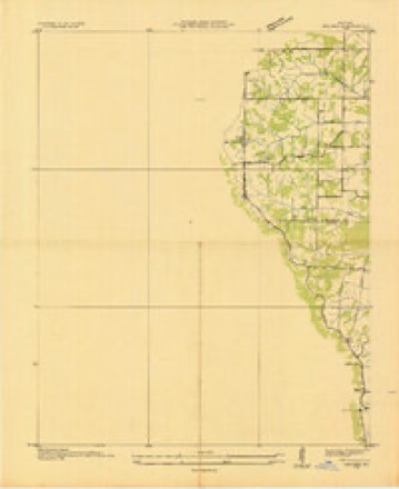
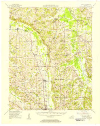
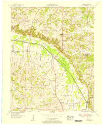
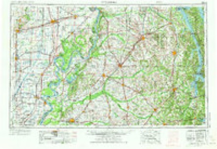
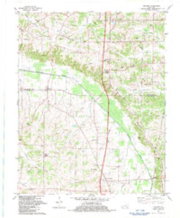
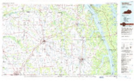
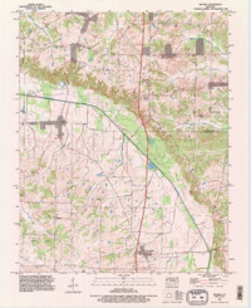
12 topographic sheets cover this place, the earliest surveyed in 1936 and the latest in 1993. It lies in ZIP code area 42069. The Survey maps it on the Melber quadrangle.
Topographic sheets covering this place
7 surveys from 12 printed sheetsMatched by testing this settlement's coordinate against the published boundary of every sheet in the United States Geological Survey's historical collection. Each opens the scanned sheet at the Survey.
- 1936 USGS Melber quadrangle1:24000
- 1951 USGS Hickory quadrangle1:62500
- 1951 USGS Melber quadrangle1:24000, 2 printings
- 1956 USGS Dyersburg quadrangle1:250000, 4 printings
- 1982 USGS Melber quadrangle1:24000
- 1986 USGS Murray quadrangle1:100000, 2 printings
- 1993 USGS Melber quadrangle1:24000
Fires near this place
17 since 1997Regional context, not property-specific evidence. The federal wildfire occurrence database lists 17 fires within 5 miles of Melber between 1997 and 2019, burning about 209 acres in total. None started naturally. None was recorded as arson. Distance is straight-line from the map coordinates, so a fire counted here may appear on a neighbouring settlement's page as well.
| Reported cause | Fires |
|---|---|
| Missing data/not specified/undetermined | 6 |
| Debris and open burning | 4 |
| Recreation and ceremony | 4 |
| Equipment and vehicle use | 2 |
| Railroad operations and maintenance | 1 |
The most recent of them, most recent first, with the day each was reported and the service that recorded it.
| Date | Cause | Size | Reported by | Name on the report |
|---|---|---|---|---|
| 28 September 2004 | Missing data/not specified/undetermined | under an acre | Kentucky Division of Forestry | not named |
| 24 September 1999 | Equipment and vehicle use | 45 acres | Kentucky Division of Forestry | not named |
| 17 August 2004 | Missing data/not specified/undetermined | 2.5 acres | Kentucky Division of Forestry | not named |
| 7 March 2007 | Railroad operations and maintenance | 50 acres | Kentucky Division of Forestry | not named |
| 20 March 2009 | Recreation and ceremony | 75 acres | Kentucky Division of Forestry | not named |
| 29 February 2004 | Missing data/not specified/undetermined | under an acre | Kentucky Division of Forestry | not named |
| 27 February 2006 | Missing data/not specified/undetermined | 2.0 acres | Kentucky Division of Forestry | not named |
| 16 February 2011 | Missing data/not specified/undetermined | 1.0 acres | Kentucky Division of Forestry | TALON FALLS |
Settlements close enough to share some of these fires:
Mines and quarries near this place
1 within 5 milesRegional context, not property-specific evidence. The federal mineral resources record lists 1 working within 5 miles of Melber: 1 prospect. None of them still produces. What was taken out: Fire Clay (Refractory). Distance is straight-line from the map coordinates, so a quarry counted here may appear on a neighbouring settlement's page as well.
| Where | Site | Commodity | Status | Recorded |
|---|---|---|---|---|
| Massac Creek Clay Bed | Fire Clay (Refractory) | Prospect |
Storms near this place
10 since 1997Regional context, not property-specific evidence. The National Weather Service names Melber in 10 storm reports between 1997 and 2023: 4 thunderstorm wind, 3 tornado, 2 flood, 1 flash flood. No death or injury is recorded in these reports. Each account below is quoted exactly as the forecast office filed it, from the NOAA Storm Events Database, and each date opens the federal record of that event.
| When | Event | Place named | Harm | What the report says |
|---|---|---|---|---|
| July 2015 | Flash Flood | Melber | $1,200,000 | Major flash flooding occurred as a result of persistent thunderstorms that dumped up to 5.5 inches of rain in four hours. The heaviest rainfall amounts occurred over the city of Paducah, where serious flooding of streets and low-lying areas took place. A state of emergency was declared by the city and county government leaders. Floodwaters affected about 133 private residences and 29 businesses. Among the flooded buildings were three apartment complexes, the sheriff's department, an ambulance building, and the county jail. The vast majority of the flooded buildings remained habitable, but nearly a dozen were uninhabitable until minor repairs could be made. Water overwhelmed several neighborhoods, and the county emergency management agency used boats to check on residents. The Red Cross opened a shelter for those displaced residents. Numerous vehicles were stranded on flooded streets and parking lots. The Paducah Police Department responded to 15 water-related incidents or rescues in four hours. The county sheriff's department handled numerous other incidents outside the Paducah city limits. Since the flash flooding occurred during the early morning commute, there was a high impact on traffic. Flash flooding of Perkins Creek inundated access roads and parking lots of hotels and restaurants near exit 4 along Interstate 24. A hotel was evacuated as water rose out of the parking lot into the first floor. The flooding affected underground power lines, knocking out traffic signals at the congested exit 4 interchange. About 1,000 customers experienced power outages in the area near exit 4. Numerous basements throughout Paducah were flooded. The rainfall total at a rain gage in downtown Paducah along the Ohio River was 5.44 inches, which fell within a period of four hours. At the NWS office at Barkley Regional Airport, the total was 2.9 inches. |
| October 2013 | Tornado (EF1) | Melber | $100,000 | Peak winds were estimated near 100 mph. The damage began as trees were snapped just east of Melber on County Road 1820. Further northeast, a home near U.S. Highway 45 suffered damage as the garage was blown in and the porch was lifted up and damaged. This caused some damage to an interior wall inside the home. Numerous trees were snapped or uprooted, and tree limbs were broken off. Other homes near U.S. Highway 45 received shingle, siding, and gutter damage. Just south of St. Johns on the east side of Route 45, a camper was blown over and a few more homes had minor roof damage. Trees and tree limbs were blown down. |
| August 2013 | Thunderstorm Wind | Melber | $40,000 | A microburst downed dozens of trees and limbs. A carport was blown approximately 400 feet and destroyed. The average width of the damage path was 100 yards. |
| April 1997 | Thunderstorm Wind | Melber | $6,000 | no account filed |
| May 2023 | Thunderstorm Wind | Melber | $5,000 | Several trees were blown down across the county, mostly in the western and southwestern parts. Some of the trees blocked roadways. |
| October 2013 | Tornado (EF1) | Melber | $3,000 | This tornado crossed from Carlisle County into McCracken County just south of Lovelaceville. Most of the McCracken County portion of the path was through rural wooded areas and fields. Tree damage was noted a few miles east of Lovelaceville. Peak winds were estimated near 105 mph. |
| May 2013 | Thunderstorm Wind | Melber | $2,000 | Tree limbs and a whole tree were blown down by winds estimated near 60 mph. |
| March 2019 | Flood | Melber | - | Kentucky Highway 339 was closed near the Graves County line due to flooding of Mayfield Creek. Highways 994 and 1014 near Hendron were closed due to flooding of Champion Creek. Around three inches of rain fell during the pre-dawn hours, which brought creeks out of their banks. |
| April 2018 | Flood | Melber | - | Heavy rain sent Mayfield Creek out of its banks. Kentucky Highway 339 was closed at the bridge over the creek. |
| May 2003 | Tornado (F0) | Melber | - | Trees were snapped off or uprooted along the north side of Highway 1820, just inside the McCracken County line. Peak winds were estimated near 70 MPH. |
Nearest settlements
The eight closest, with where each one stands in the county. Distances are straight-line, computed from the Geographic Names Information System coordinates.
| Map | Place | Distance | Sheets |
|---|---|---|---|
| Wurth | 1.3 miles | 12 | |
| Kauffman | 2.3 miles | 12 | |
| Saint Johns | 3.1 miles | 12 | |
| Oak Grove | 3.5 miles | 12 | |
| Fort Holt (historical) | 4.4 miles | 7 | |
| Yopp | 4.7 miles | 12 | |
| Massac | 4.9 miles | 22 | |
| Milan (historical) | 5.5 miles | 16 |
Provenance
This settlement is recorded in the Geographic Names Information System as feature 498042. The sheet list is computed by point-in-boundary test against the United States Geological Survey's historical topographic inventory. Both are works of the United States government and carry no copyright under 17 U.S.C. 105.
Wildfire. Short, Karen C. 2022. Spatial wildfire occurrence data for the United States, 1992-2020 [FPA_FOD_20221014]. 6th Edition. Fort Collins, CO: Forest Service Research Data Archive. https://doi.org/10.2737/RDS-2013-0009.6 Collected with United States Government funding and usable without additional permissions or fees.
Mines and quarries. USGS Mineral Resources Data System (MRDS) https://mrdata.usgs.gov/mrds/ A work of the United States government, no copyright under 17 U.S.C. 105.
Storms. NOAA National Centers for Environmental Information, Storm Events Database https://www.ncei.noaa.gov/stormevents/ A work of the United States government, no copyright under 17 U.S.C. 105. Narratives are quoted verbatim from the National Weather Service report and are not edited or summarised.