Block
From the record
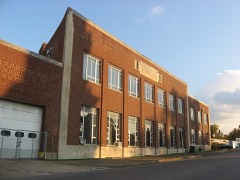
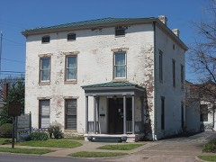
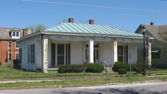
34 National Register listings published here.
Sources: the National Register database, National Park Service
63 topographic sheets cover 68 settlements here, and 34 properties are on the National Register of Historic Places.
34 National Register listings published here.
Sources: the National Register database, National Park Service
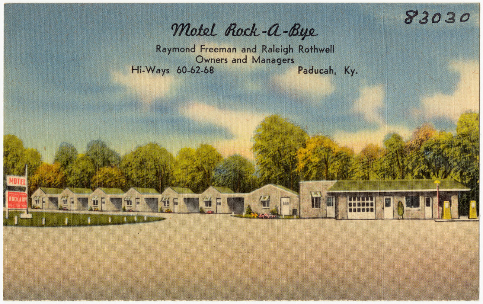
Taken for the Office of War Information and the Farm Security Administration, who photographed the country between 1935 and 1944. Works of United States government photographers, with no known restriction on use. Each opens its catalogue record.
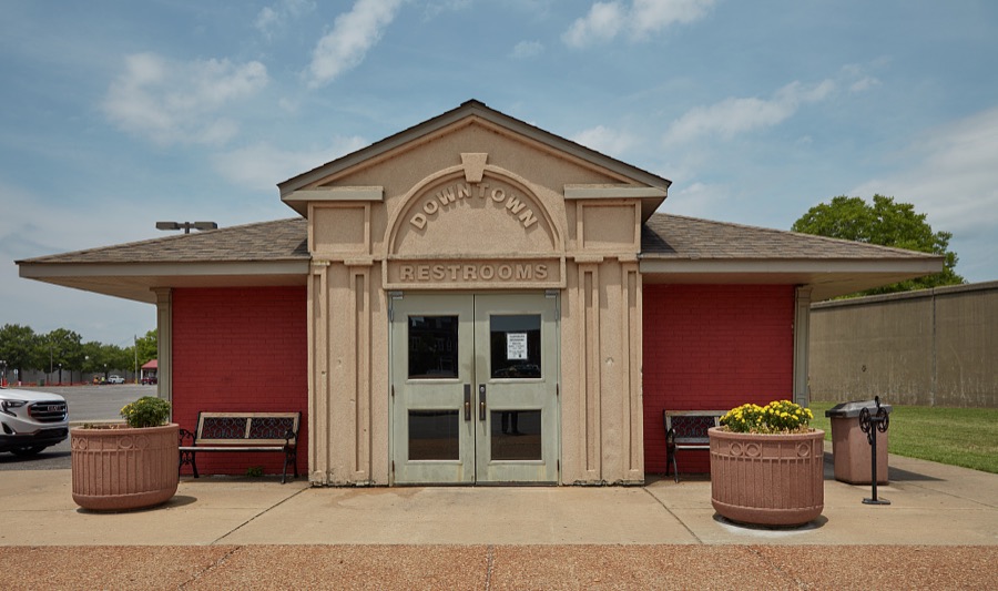
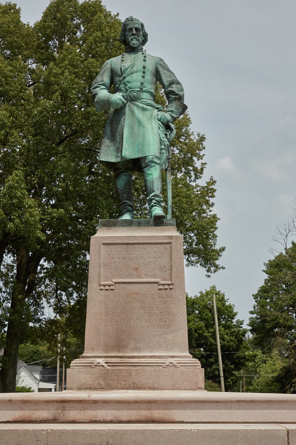




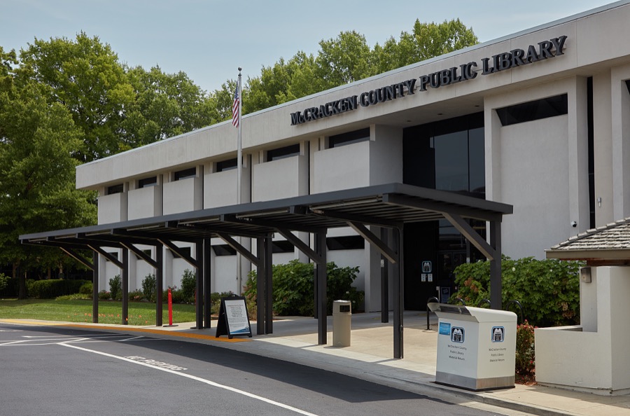

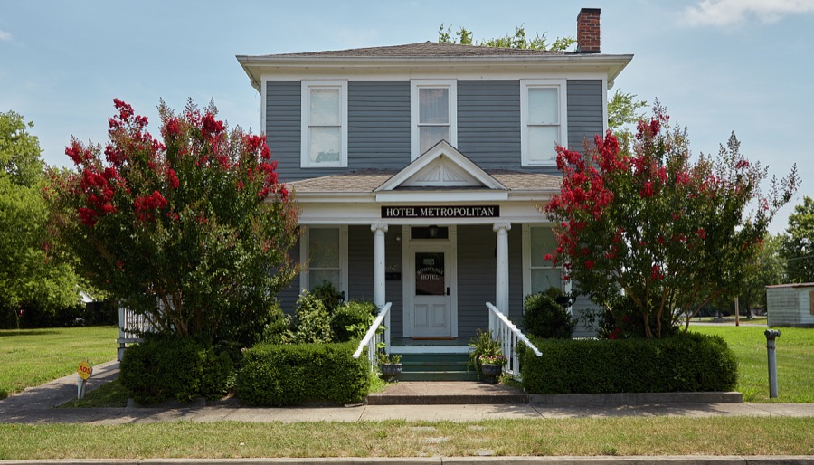

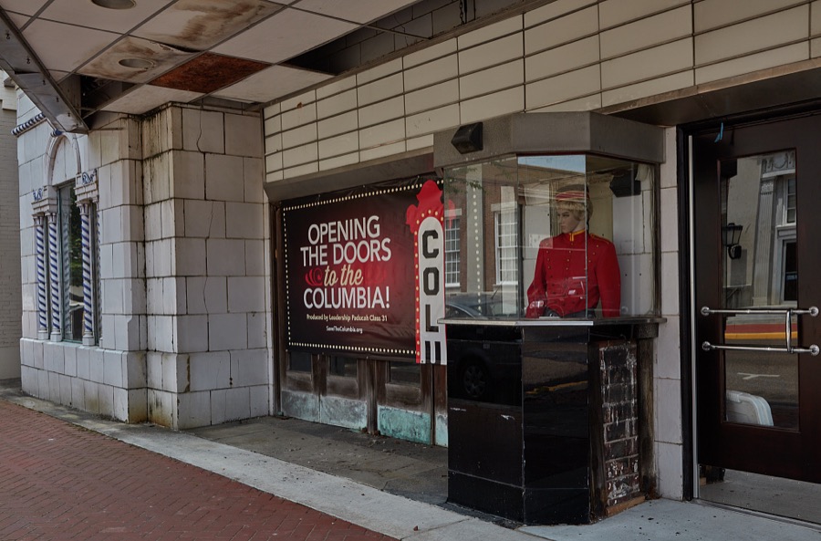










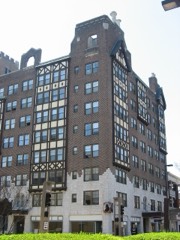
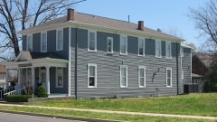
Every property in this county listed on the National Register of Historic Places, with the year it was listed and the federal nomination document.
Sampled issues, machine-read from the Library of Congress scan and published page by page, so every headline and column is searchable text.
Paducah, Ky., 1906 to 1929. Machine-read from the Library of Congress scan.
Paducah, Ky., 1898 to 1906. Machine-read from the Library of Congress scan.
Paducah, Ky., 1??? to 1902. Machine-read from the Library of Congress scan.
Paducah, Ky., 1896 to 1898. Machine-read from the Library of Congress scan.
Paducah, Ky., 1901 to 19??. Machine-read from the Library of Congress scan.
Drawn when these were printed as single large sheets: the town seen from the air, and the county divided into its farms with every owner named. Each opens the original at the Library of Congress.

Selected from the Digital Public Library of America's 6 image records catalogued for this county. Every one shown here carries a public-domain status or a licence that permits reuse on a site that carries advertising; non-commercial, share-alike and restricted images are excluded. The selection is spread across the county's towns (at most eight per town), so no single institution's bulk upload crowds out the rest. Each opens the holding library's record, and the complete set at the Digital Public Library of America is one click away.


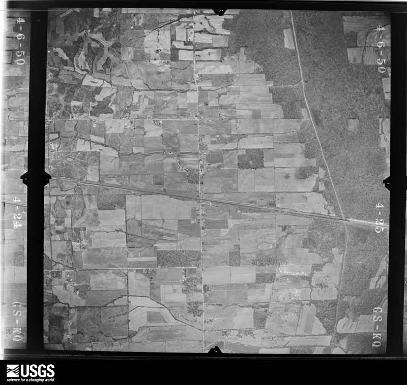
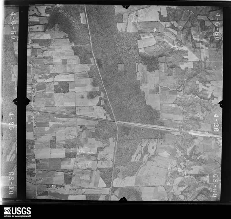
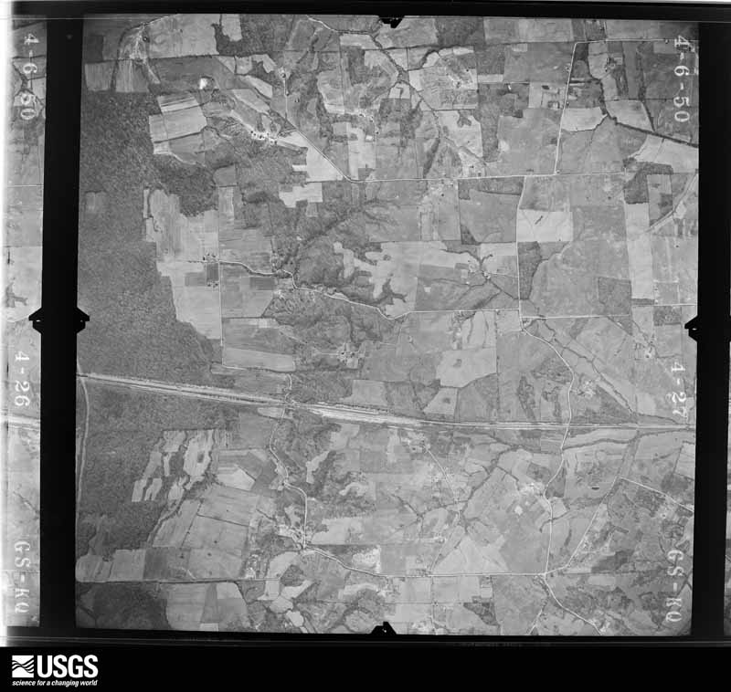
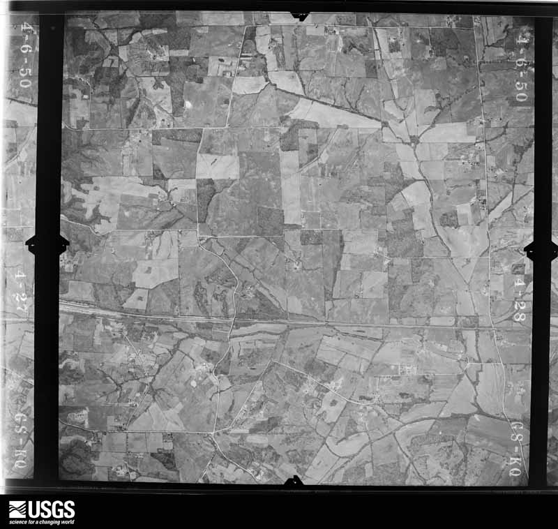
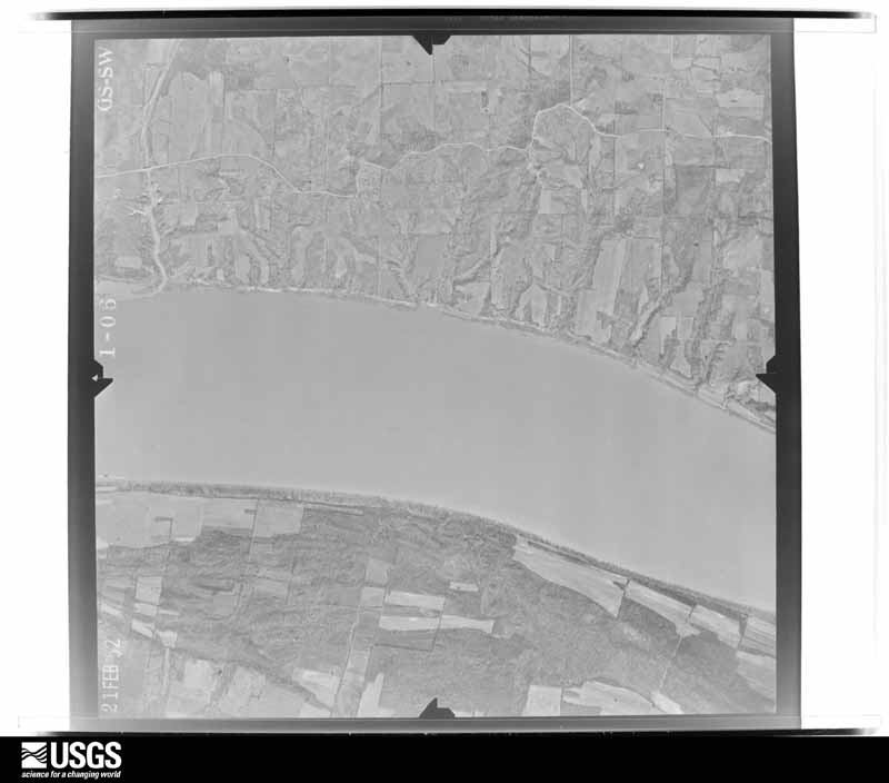
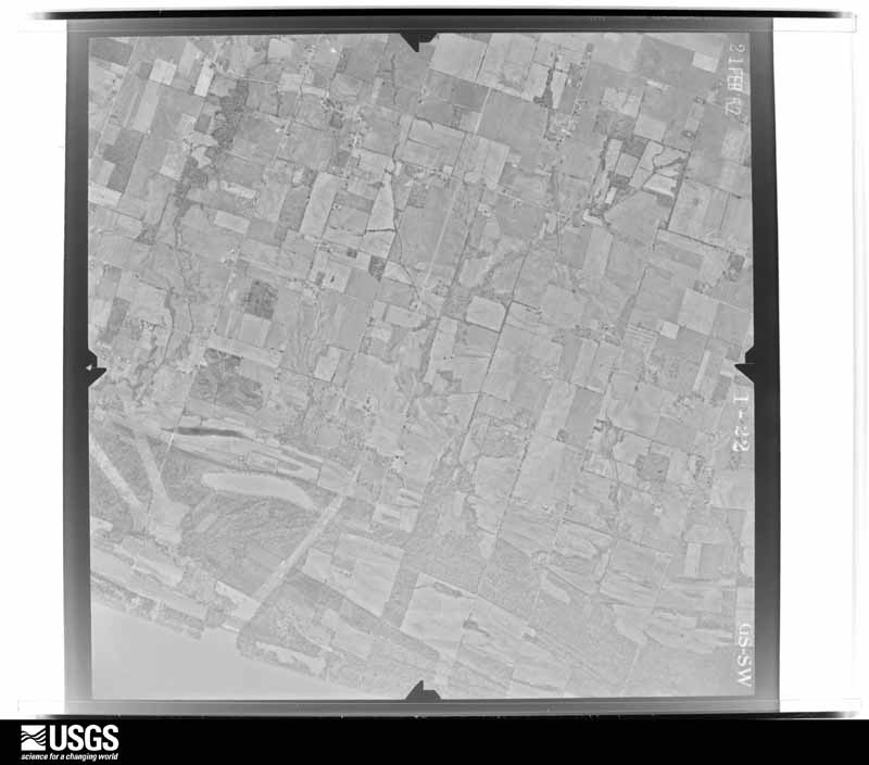
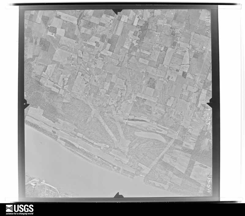
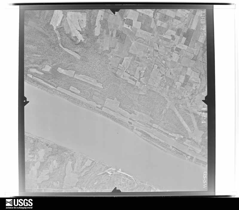
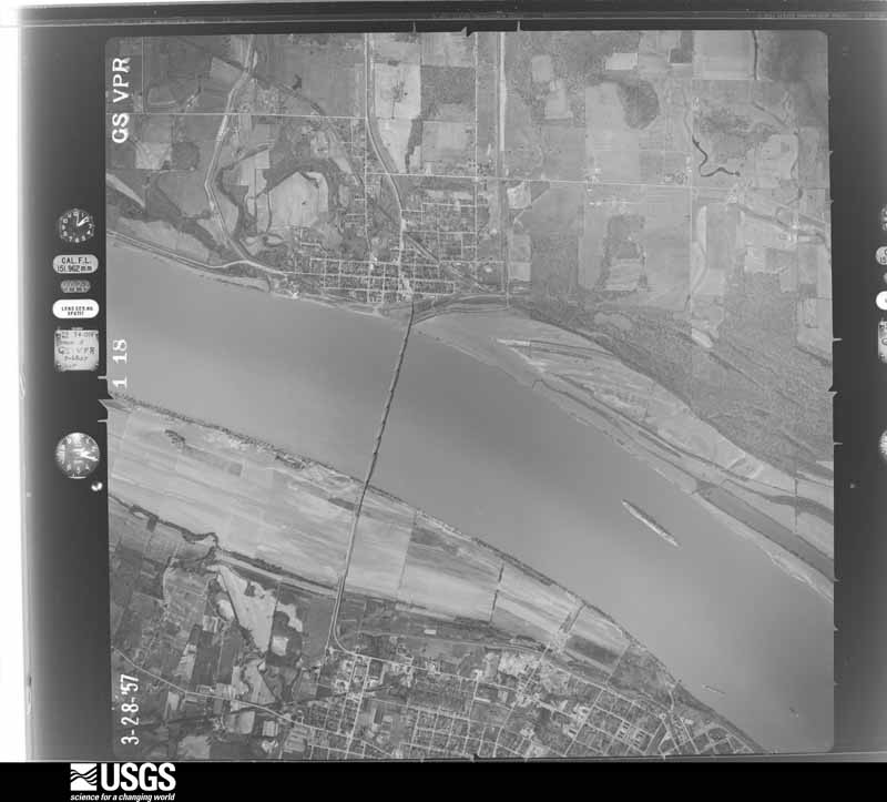
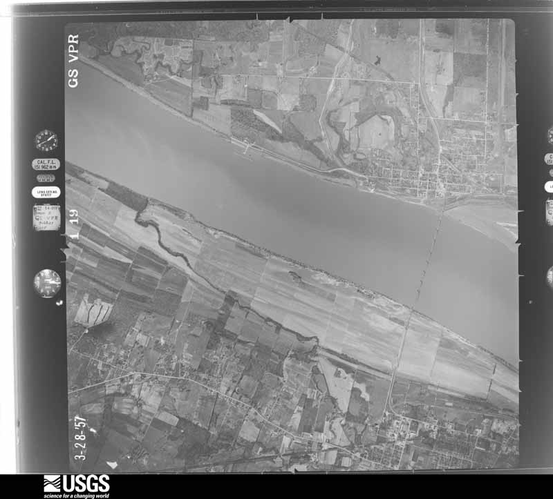
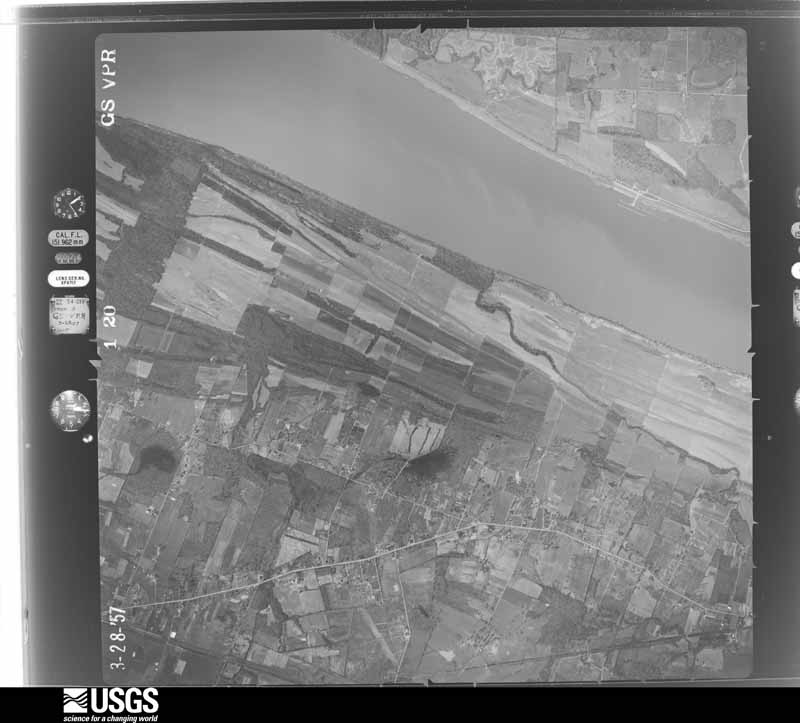
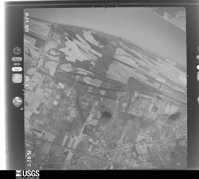
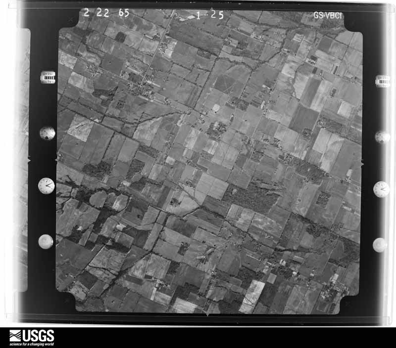
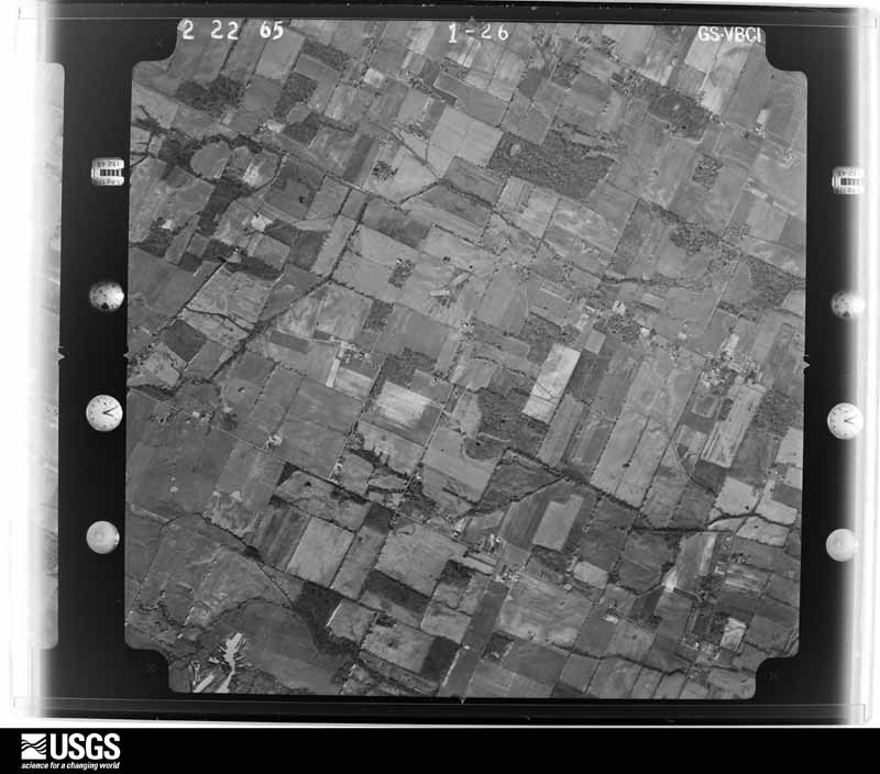
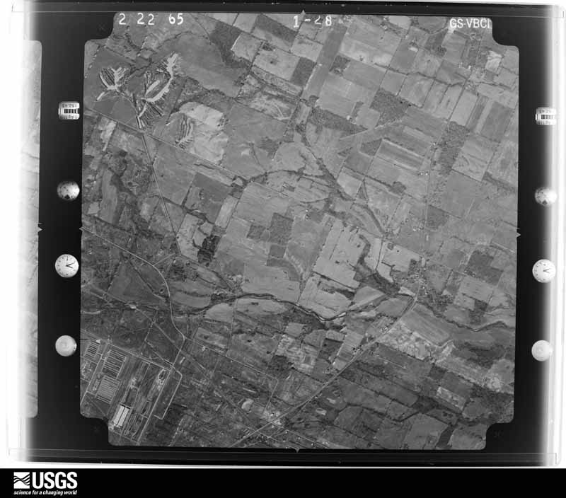
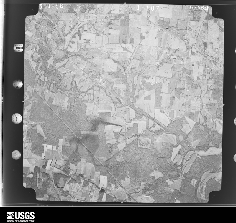
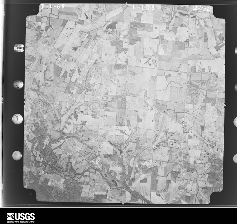
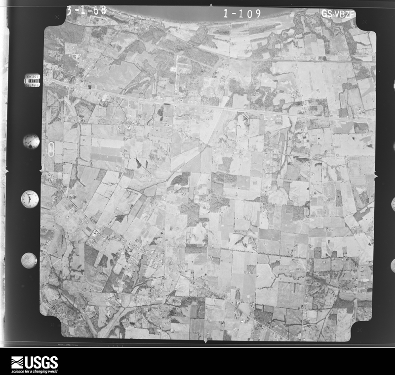
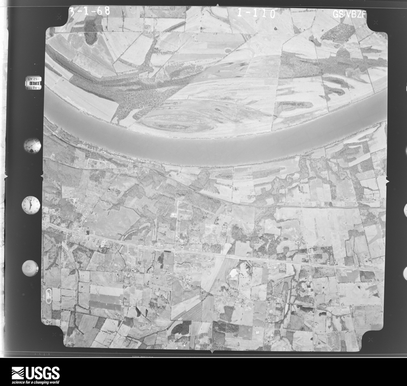
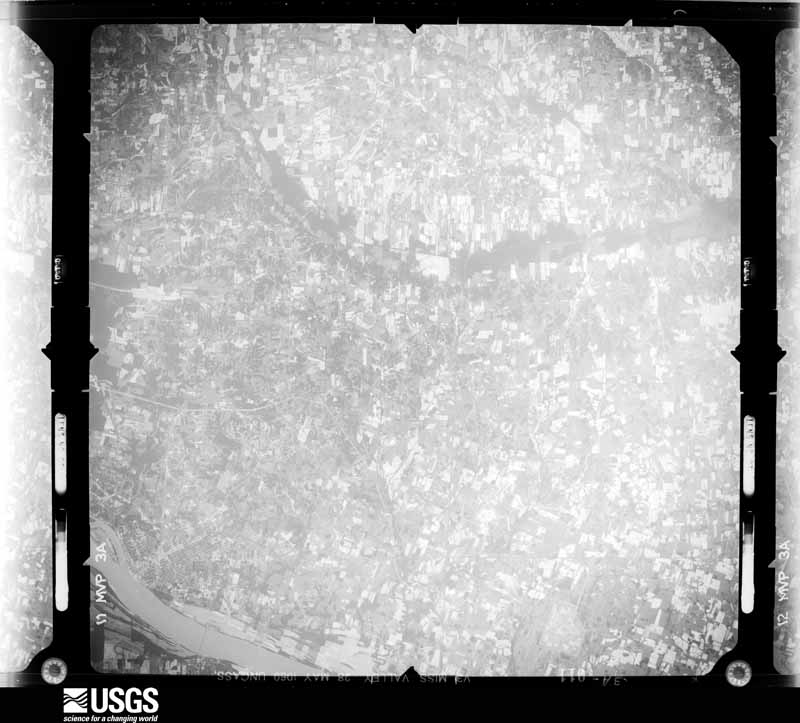
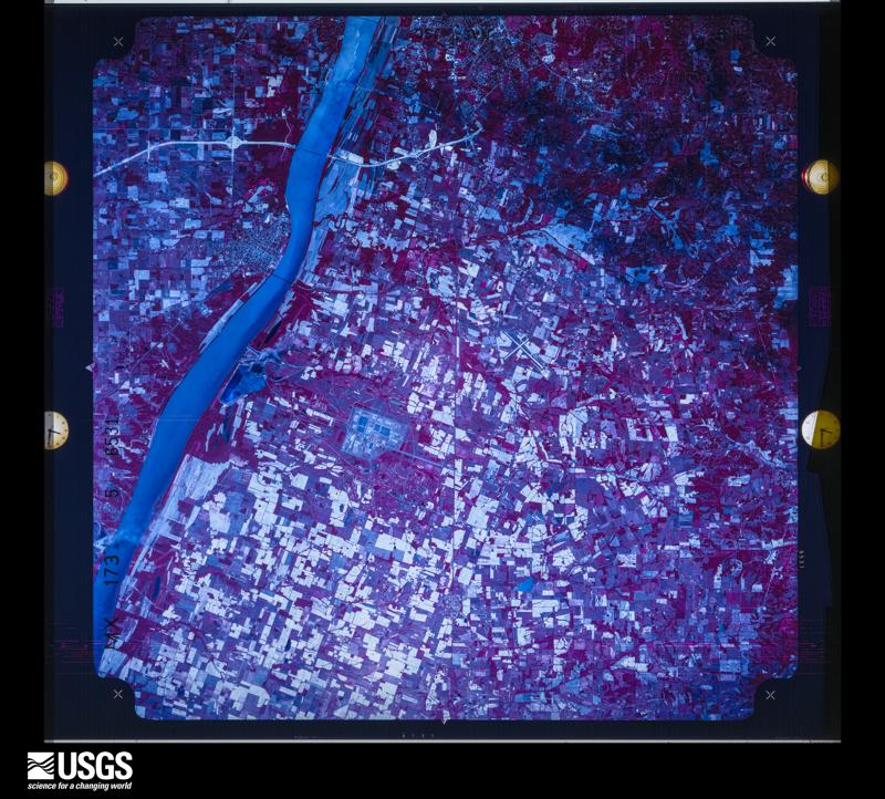
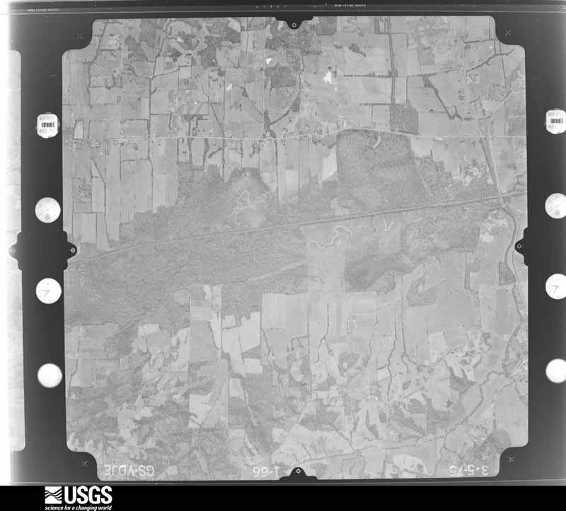
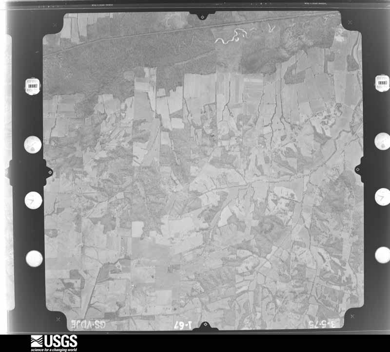
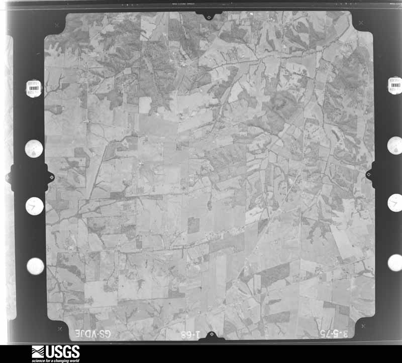
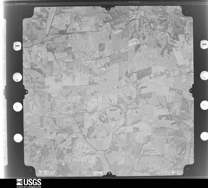
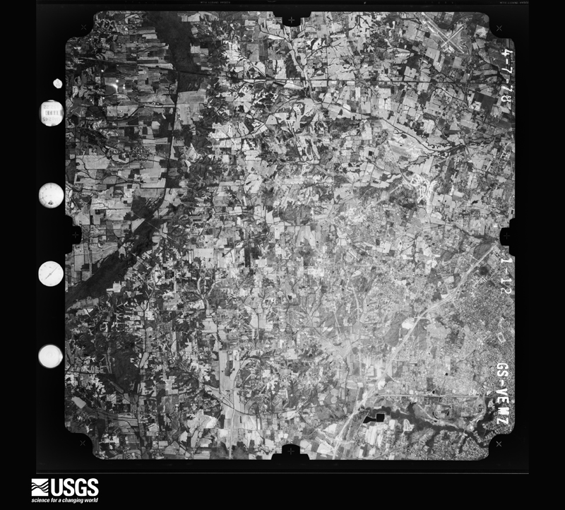
Flown by the U.S. Geological Survey between 1937 and 1989, the Aerial Photo Single Frames collection is the definitive mid-century view of the land: fields, roads and rivers as the camera saw them. The Survey holds 672 frames inside the rectangle that bounds this county; the 37 frames below were taken over the county itself, chosen across the decades of flights (at most four a year from that rectangle), so one flight cannot crowd out the rest. The full set is free to browse and download at EarthExplorer under the dataset Aerial Photo Single Frames.











The thermometers that kept this county's weather, and the gages that measured the flow of its streams, as the federal records hold them. The extremes below are measured values from those records, not estimates.
Who lived here in 1950, one enumeration district at a time, as the Census Bureau described each district. Each row opens its official National Archives result, with Population Schedules and ED Maps available there.
Every wildfire the federal occurrence database records inside this county: 81 of them, burning about 658 acres. None started naturally and 2 were recorded as arson. Each settlement page carries the fires within five miles of it.
| Reported cause | Fires |
|---|---|
| Missing data/not specified/undetermined | 39 |
| Recreation and ceremony | 20 |
| Debris and open burning | 9 |
| Railroad operations and maintenance | 6 |
| Smoking | 3 |
| Arson/incendiarism | 2 |
| Equipment and vehicle use | 2 |
The five largest, by the area the report gives. Two of them were set deliberately.
| Date | Cause | Size | Reported by | Name on the report |
|---|---|---|---|---|
| 9 January 2006 | Missing data/not specified/undetermined | 172 acres | Kentucky Division of Forestry | not named |
| 1 November 2016 | Missing data/not specified/undetermined | 95 acres | Kentucky Division of Forestry | OGDEN LANDING ROAD |
| 7 March 2007 | Railroad operations and maintenance | 50 acres | Kentucky Division of Forestry | not named |
| 15 November 1999 | Missing data/not specified/undetermined | 35 acres | Kentucky Division of Forestry | not named |
| 26 November 1997 | Arson/incendiarism | 30 acres | Kentucky Division of Forestry | not named |
| 19 December 1997 | Arson/incendiarism | 21 acres | Kentucky Division of Forestry | not named |
| 26 November 1997 | Debris and open burning | 20 acres | Kentucky Division of Forestry | not named |
| 30 December 1999 | Railroad operations and maintenance | 20 acres | Kentucky Division of Forestry | not named |
Every settlement page carries the fires within five miles of it - see the settlement index below.
The NOAA Storm Events Database holds 529 reports for this county, causing 2 deaths, 26 injuries and about $44,232,000 in recorded property damage. Each settlement page carries the reports that name it.
| Kind of event | Reports |
|---|---|
| Thunderstorm Wind | 219 |
| Hail | 76 |
| Flash Flood | 74 |
| Flood | 70 |
| Heavy Rain | 39 |
| Tornado | 28 |
| Lightning | 14 |
| Funnel Cloud | 8 |
| Wildfire | 1 |
The most serious of them, by death, then injury, then recorded damage. The accounts are quoted exactly as the forecast office filed them.
| When | Event | Place named | Harm | What the report says |
|---|---|---|---|---|
| March 2011 | Flood | Rowlandtown | 1 killed, 4 hurt, $50,000 | no account filed |
| March 2019 | Flood | Ragland | 1 killed | A prolonged major river flood that peaked in February subsided in March. Information on the February crest height and the total property damage estimate is contained in the February report. The flood damaged about 50 homes in McCracken County. Levee and flood wall gates were installed in the Paducah area. This action along with heavy rainfall in west Kentucky and backwater from the Ohio and Tennessee Rivers caused widespread flooding in the southeast part of McCracken County. Smaller rivers and creeks such as the Clarks River had nowhere to drain and kept rising with each successive round of heavy rain. One fatality occurred due to a vehicle that drove into Clarks River floodwaters. A male, age 59, drove around a barricade and into floodwaters off Highway 787 near the Marshall County line. His girlfriend escaped the vehicle, but he did not. His body was recovered and CPR was administered but to no avail. Countywide, a damage assessment indicated 35 residences sustained minor damage and 15 sustained major damage. Numerous roads were closed around the county, especially in the flood plain west of Paducah and the Clarks River basin in eastern McCracken County. Some of the largest state roads that were closed included Highway 131 south of Reidland, Highway 305 in West Paducah, and Highway 284 between Reidland and Paducah. A Red Cross shelter was opened in Paducah. The City of Paducah declared a state of emergency and installed most of the floodgates in the floodwall. The city's convention center was inaccessible for over a week due to its location outside the floodwall. A makeshift barrier was installed around the convention center to prevent flooding. |
| February 2012 | Tornado (EF2) | Ragland | 5 hurt, $150,000 | The tornado continued into McCracken County from Ballard County. Six to eight residences were heavily damaged or destroyed. The residences were a mix of mobile homes and houses. The steeple was blown off a church. Numerous barns and sheds were destroyed or damaged, with debris carried several hundred yards and deposited in trees. There were several injuries, including one serious injury. Two semi-trailers were flipped on their side. A few stationary vehicles were moved 50 to 75 yards. The tornado exited the county when it crossed the Ohio River into Massac County, IL. |
| January 1999 | Tornado (F1) | (Pah)Barkley Arpt Pa | 2 hurt, $500,000 | The tornado formed near the Ballard/McCracken County line, just east of Kevil. It tracked northeast for about a mile through the Lone Lake subdivision. In the Lone Lake subdivision, three mobile homes were blown off their foundations, and two other mobile homes were severely damaged. Three garages, two cars, and a camper were destroyed. Closer to the beginning of the tornado track along the Ballard County line, two barns were destroyed, and four houses received minor damage. Top winds in this tornado were estimated near 100 MPH. |
| April 1995 | Thunderstorm Wind | Woodville | 2 hurt, $200,000 | A severe thunderstorm moving northeast from Ballard County clipped northwest McCracken County. The storm overturned and destroyed a mobile home, causing minor injuries to two of its occupants. Many outbuildings were damaged, roofs were blown off two barns, and some utility poles were snapped or blown over. Several residences sustained minor roof damage. The affected area in McCracken County was about one square mile. |
| January 1996 | Tornado (F1) | Paducah | 2 hurt, $75,000 | no account filed |
| June 1966 | Tornado (F2) | not stated | 2 hurt, $25,000 | no account filed |
| May 2003 | Hail | Massac | 1 hurt, $20,000,000 | no account filed |
| March 2019 | Tornado (EF2) | Cammelia | 1 hurt, $1,300,000 | This multi-county tornado entered McCracken County from Ballard County near the community of Lovelaceville. The tornado tracked within a couple of miles either side of U.S. Highway 62 for most of its path in McCracken County. The tornado intermittently reached EF-2 intensity from the Ballard County line to about two miles southeast of Barkley Regional Airport. A total of 25 dwellings were damaged along the path in McCracken County. Five businesses were damaged, and 20 residences were damaged. The damage was categorized as minor for 14 of the residences, major for one, and five were destroyed. Major structural damage included partial loss of roofs or walls. Minor damage to homes included the loss of shingles. Dozens of barns, outbuildings, garages, or grain bins were destroyed. A church, located on U.S. Highway 62 near Highway 305, lost much of the roof structure as well as a large part of a second story exterior wall. This is where the tornado reached its maximum intensity, with estimated peak winds near 125 mph. A total of 40 pre-schoolers were inside a day care facility in the church, but none were directly injured. At least ten vehicles sustained damage in this area near the church. The only injury occurred on U.S. Highway 62 near the church, where a grain bin was blown on top of a pickup truck traveling eastbound. During the final few miles of its track, the tornado weakened as it moved through the western part of the city of Paducah. In the western part of Paducah, the tornado moved across U.S. Highway 60 and the city's main shopping mall. The tornado dissipated shortly after crossing Interstate 24 between exits 3 and 4. The roofs of the shopping mall and a nearby strip mall were damaged. Several businesses in the mall area and along Interstate 24 sustained minor damage, mostly to roofs. Windows were blown out of vehicles and buildings. A moving semi truck was lifted along Interstate 24 and was blown into the median in a jack-knife position. Along the entire track, dozens of utility poles were down, causing extensive power outages for nearly 10,000 customers. Hundreds of trees were snapped or uprooted. Video of the tornado was captured by personnel at the Paducah National Weather Service office, which the tornado missed by about two miles. |
| November 2013 | Tornado (EF2) | Woodville | 1 hurt, $350,000 | The tornado began very close to the Ballard County line. The most intense damage in McCracken County was rated EF-2 at a uranium enrichment plant just west of Grahamville. At that location, three metal roll-up doors on the main processing building were blown in. Some wall panels on the large processing building were blown out. The tops of three steel power transmission towers within the plant grounds were bent over. A few power lines were snapped. Cooling tower shrouds were blown off. Some siding on a cooling tower was damaged. One sport utility vehicle was shoved 30 yards into a ditch. An off-duty employee of the plant was seriously injured when tornado debris, including another car, was blown into his vehicle. Elsewhere in the county, an abandoned mobile home was demolished, though the undercarriage remained. Many houses had damage to shingles and siding. Some metal roofs were slightly damaged. A wooden fence was ripped from the ground. Chain link fences were blown over. Trees were uprooted or snapped off, some striking homes. A church foyer was destroyed. Road signs were bent. The average path width was 100 yards in McCracken County. The tornado continued east across the Ohio River into Massac County, Illinois, where it strengthened to EF-3 intensity. The total path length of this tornado was 42 miles. The parent supercell tracked from southeast Missouri across the Mississippi River through the Paducah area, then east to the Kentucky Lake area of western Kentucky. |
| September 2006 | Thunderstorm Wind | (Pah)Barkley Arpt Pa | 1 hurt, $100,000 | Downburst winds up to 75 MPH affected a narrow corridor along and just north of U.S. Highway 62. The damage path began just southwest of Barkley Regional Airport, where several barns and sheds were unroofed. Minor roof damage occurred to a few homes. The damage became more significant along the western outskirts of Paducah, where numerous trees and large limbs were blown down. The emergency management director estimated over 100 trees were down. Numerous homes lost varying amounts of roofing, but the damage to structures was mostly minor. Trees fell on a few vehicles and structures, including a fire station. Vinyl siding was blown off at least one house. Most of the significant damage ended near the intersection of U.S. Highways 62 and 45 in Paducah, where a woman inside a store required treatment for cuts due to flying glass. On the south side of Paducah, the roof was partially blown off a restaurant. |
| July 2003 | Thunderstorm Wind | Paducah | 1 hurt, $85,000 | A thunderstorm produced damaging winds in downtown Paducah. Two buildings were unroofed in Paducah, including part of an old warehouse and an accounting office. The roof of the accounting office was blown into a street. The roof debris struck a vehicle driven by a 75-year-old man, who was slightly injured and treated at a local hospital. The strong winds blew down a monument at the courthouse square. Bricks falling from the roof of an old hotel landed on vehicles below. |
| April 2011 | Lightning | Maxon | 1 hurt, $10,000 | A trained spotter was taking shelter during a tornado warning with two other individuals. After the storm, while coming out of their place of shelter, lightning struck a few feet above her. The lightning sent showers of sparks and burned a hole in the building she was standing beside. The lightning threw her ten feet from a sidewalk onto a gravel drive, causing some scratches and bruises. |
| July 2001 | Thunderstorm Wind | Reidland | 1 hurt, $10,000 | Thunderstorm winds gusted to 43 MPH at the Paducah National Weather Service. Although very few trees were brought down, one large tree landed on a passing vehicle in Reidland. Shortly after the dead 40-foot tree crushed her moving vehicle, fire broke out in the car. The female driver was extricated from the vehicle by firefighters within 30 minutes. She was not seriously injured, but required hospitalization for extensive bruising. |
| January 2000 | Flash Flood | Barkley Arpt | 1 hurt, $10,000 | Repeated episodes of heavy rain from thunderstorms dumped up to an inch per hour during the pre-dawn hours. At the Paducah National Weather Service office, close to 4 inches of rain fell in about 4 hours. Creeks and streams rose very rapidly over their banks. In southern McCracken County, a vehicle caught in creek floodwaters was swept off the road. The driver was rescued from the creek by someone in the neighborhood. Flash flooding of Cross Creek, which runs through the city of Paducah, damaged fences and yards. A number of homes in Paducah were flooded, mainly in poor drainage areas. |
| January 2022 | Flood | Tyler | 1 hurt | Island Creek rose out of its banks on the south side of Paducah. The flooding was due to a combination of heavy rain on the 9th and backwater from the rising Ohio River. A street intersection in the flood plain was the site of a mishap involving a school bus. The bus drove into the flooded area, possibly due to the removal of barricades by an unauthorized person. The bus listed to one side, and one student was injured. This incident occurred on the 11th. |
| May 2011 | Flood | Paducah | $10,000,000 | Major flooding continued on the Ohio River from April. At the Paducah river gage, the flood crest of 55.03 feet around noon on May 5 was over three feet higher than the 1997 flood. This was still several feet lower than the record crest set in 1937. The activation of the New Madrid Floodway by the U.S. Army Corps of Engineers spared McCracken County from an even higher crest that would have inundated even larger areas of the county. With the detonation of the Mississippi River levee at Birds Point, Missouri, the Ohio River stopped rising or rose much more slowly at the Paducah gage. The flood gates were installed in the floodwall protecting the city of Paducah. Low-lying areas outside of the levee and floodwall protection system were flooded, displacing hundreds of residents. Preliminary estimates were that between 200 and 500 homes were flooded, some beyond repair. Many of the homes were located in the Clarks River floodplain, where water was nearly up to the second floor of one home. Ohio River backwater worsened flooding along the Clarks River, which empties into the Ohio between Reidland and Paducah. A mobile home was nearly completely submerged. Over a dozen water rescues were conducted. Water marks along tree lines were at least ten feet high in many locations near the Clarks River. Besides flooding numerous homes, the river submerged a small airport and a car-racing track. Many state roads were closed, making travel around the county difficult. The bridge carrying U.S. Route 45 over the Ohio River was closed due to water over the approaches. At the peak of the flooding, at least 60 roads were closed in McCracken County. Floodwaters crept toward U.S. Highway 60 in the city of Paducah outside the levee, but very few structures were affected on Route 60. The main exception was a major grocery store next to the levee, which was forced to close. A convention center located on the river side of the floodwall was saved by the construction of a makeshift levee. |
| June 2013 | Flash Flood | Lone Oak | $1,500,000 | A major flash flood produced millions of dollars in damage in McCracken County. The flooding started out as significant street flooding two to three feet deep in the usual problem spots in the city of Paducah. The railroad underpass at U.S. Highways 62 and 45 in Paducah was closed. The flooding steadily increased to include low-lying sections of numerous roads throughout the county, some of which were impassable. At least three vehicles drove into floodwaters, becoming completely submerged and requiring assistance from rescue boats. Numerous other vehicles stalled out in floodwaters. The swift water rescue team rescued about 30 people from flooded cars and buildings. Creeks and streams rose far outside of their banks, inundating homes and businesses. An apartment complex in Paducah was flooded by up to several feet from Crooked Creek, along with roads and parking lots. Twenty to thirty residents of the apartment complex were evacuated. Perkins Creek flooded the business strip near the Interstate 24 exit to U.S. 60. A couple of hotels were flooded, and restaurants were inaccessible. Seventy units of one hotel were damaged. Water rescue teams evacuated three residences that were surrounded by water, stranding the occupants. Street and road flooding became widespread across the county, making travel very difficult or impossible. Vehicles were flooded in parking lots on the south side of Paducah. Several county roads were washed out or heavily damaged. A rainfall amount of 4.68 inches was measured in just three hours at the National Weather Service office at Barkley Regional Airport. |
| March 2023 | Tornado (EF2) | Hardmoney | $1,300,000 | An EF-2 tornado began at 11:08 AM CST just west of the intersection of Old Mayfield Road and McNeil Road. Traveling north-northeast, the tornado paralleled Old Mayfield Road, doing significant roof, siding, and fascia damage to numerous homes and a few businesses. A few homes had most of their roofing structures completely removed. Several outbuildings were completely destroyed. County emergency management officials assessed the damage and found four homes were destroyed and 68 homes were damaged. Numerous wooden power poles were snapped or tilted by tornadic winds. After crossing Hardmoney Road, the tornado did damage to homes, trees, and outbuildings along Michael Drive West before dissipating around 11:10 AM CST. Dozens of trees were uprooted or snapped, and dozens more suffered major tree limb damage. Additionally, strong straight-line inflow winds of 80 to 90 mph caused tree damage and minor structural damage along Michael Drive East. Peak winds were estimated near 125 mph. |
| July 2015 | Flash Flood | Melber | $1,200,000 | Major flash flooding occurred as a result of persistent thunderstorms that dumped up to 5.5 inches of rain in four hours. The heaviest rainfall amounts occurred over the city of Paducah, where serious flooding of streets and low-lying areas took place. A state of emergency was declared by the city and county government leaders. Floodwaters affected about 133 private residences and 29 businesses. Among the flooded buildings were three apartment complexes, the sheriff's department, an ambulance building, and the county jail. The vast majority of the flooded buildings remained habitable, but nearly a dozen were uninhabitable until minor repairs could be made. Water overwhelmed several neighborhoods, and the county emergency management agency used boats to check on residents. The Red Cross opened a shelter for those displaced residents. Numerous vehicles were stranded on flooded streets and parking lots. The Paducah Police Department responded to 15 water-related incidents or rescues in four hours. The county sheriff's department handled numerous other incidents outside the Paducah city limits. Since the flash flooding occurred during the early morning commute, there was a high impact on traffic. Flash flooding of Perkins Creek inundated access roads and parking lots of hotels and restaurants near exit 4 along Interstate 24. A hotel was evacuated as water rose out of the parking lot into the first floor. The flooding affected underground power lines, knocking out traffic signals at the congested exit 4 interchange. About 1,000 customers experienced power outages in the area near exit 4. Numerous basements throughout Paducah were flooded. The rainfall total at a rain gage in downtown Paducah along the Ohio River was 5.44 inches, which fell within a period of four hours. At the NWS office at Barkley Regional Airport, the total was 2.9 inches. |
| February 2019 | Flood | Ragland | $1,000,000 | A prolonged major river flood damaged about 50 homes in McCracken County. At Paducah, the Ohio River crested at 53.27 feet on the 25th. This was tied with the 1950 flood for the second worst flood since the Flood of 1937. Since 1937, only the flood crest of 2011 was higher. The flood crest reached 60.60 feet in the winter of 1937. Levee and flood wall gates were installed in the Paducah area. This action along with heavy rainfall in west Kentucky and backwater from the Ohio and Tennessee Rivers caused widespread flooding in the southeast part of McCracken County. Smaller rivers and creeks such as the Clarks River had nowhere to drain and kept rising with each successive round of heavy rain. A damage assessment indicated 35 residences sustained minor damage and 15 sustained major damage. Numerous roads were closed around the county, especially in the flood plain west of Paducah and the Clarks River basin in eastern McCracken County. Some of the largest state roads that were closed included Highway 131 south of Reidland, Highway 305 in West Paducah, and Highway 284 between Reidland and Paducah. A Red Cross shelter was opened in Paducah. The City of Paducah declared a state of emergency and installed most of the floodgates in the floodwall. The city's convention center was inaccessible for over a week due to its location outside the floodwall. A makeshift barrier was installed around the convention center to prevent flooding. |
| March 2017 | Thunderstorm Wind | (Pah)Barkley Arpt Pa | $600,000 | Widespread damaging winds around 75 mph occurred across much of western and central McCracken County, including the cities of Paducah and Lone Oak. A wind gust to 75 mph was measured by the automated observing system at Barkley Regional Airport. A wind gust to 68 mph was measured at a fire station in Grahamville. Numerous buildings sustained minor roof damage, including a few historic landmarks in downtown Paducah. A metal wall panel was blown off a large storage building in Paducah. A large tree fell through the kitchen and bedroom of a house. Several outbuildings and sheds were destroyed, including one that was blown onto a road near Barkley Regional Airport. Trees and signs were blown down areawide, including some large uprooted trees. Numerous power outages lasted through the morning. Some roads were blocked by downed trees and power lines. A large tree was down on a vehicle in Paducah, destroying the vehicle. A power pole and power lines were down on a car in Lone Oak. |
| June 2019 | Tornado (EF1) | Cammelia | $500,000 | This tornado tracked from Ballard County east-northeast across McCracken County. The tornado stayed mainly over rural farm country of southwest McCracken County until it crossed the Lone Oak and Hendron communities near Paducah. The tornado finally dissipated as it crossed the south side of Paducah, a few miles northwest of Reidland. Although there was some minor roof damage to homes along the path, almost all of the damage was done to large, mature trees. Hundreds of trees were snapped or uprooted (50/50). Several sheds and outbuildings were damaged. Grain bins and barns were damaged on farms in rural southwest parts of the county. On the south side of Paducah, windows were blown out of a strip mall, signage to a business was destroyed, and there was roof damage to a former church. The two main areas of significant damage were along Gum Springs Road (near Lone Oak) and in the Hendron area. A large swath of straight-line damaging winds (up to 110 mph) paralleled the track about one-half mile south from the inception of the tornado until about Interstate 24, where they merged over the Hendron area and became a single smaller path to the south side of Paducah. Peak winds in the tornado were also estimated near 110 mph. |
| January 2023 | Hail | Reidland | $150,000 | Hail up to the size of golf balls was reported in the Reidland area. Numerous houses in a subdivision near exit 16 off Interstate 24 sustained roof damage. The vast majority of the hailstones were smaller than quarters. Copious amounts of hail covered the ground in some places, especially along Interstate 24 around exit 16. There was enough hail to cause a vehicle accident near exit 16. Small drifts of hail were still visible along the interstate into the early afternoon hours. |
| March 2018 | Flood | Ragland | $150,000 | Moderate flooding continued on the Ohio River from late February. At the Paducah river gage, the river crested at 51.43 feet on the 2nd. Flood stage is 39 feet. This crest was just several inches lower than the Flood of March, 1997. A number of homes were evacuated in the county, including an area along Highway 1420 west of Paducah. This area is affected by backwater flooding of Massac Creek, which prompted the closure of Highways 1420 and 305. Numerous other roads were flooded and closed, mainly county roads. The floodgates were installed in the floodwall protecting the city of Paducah. Parks, roads, and boat ramps that were not protected by the floodwall were inundated. |
| June 2014 | Flash Flood | West Paducah | $150,000 | Widespread flash flooding occurred in Paducah. Between 4.8 and 5.5 inches of rain was measured in less than two hours. Numerous vehicles were stranded on flooded streets. Some people were rescued from stranded cars by police and fire personnel. A railroad underpass on a major city street was impassable. Garages and basements were flooded. Several apartments and at least one home were flooded. In the downtown Paducah area, the courthouse and jail were flooded. |
| July 2023 | Flash Flood | Oaks | $150,000 | no account filed |
| August 2025 | Flash Flood | Paducah | $125,000 | A wide area of flooding developed near Baptist Hospital in Paducah, with water flooding the main entrance of the hospital. Multiple cars were pictured stranded in roughly 6-8 inches of water. Several vehicles were stuck in the water at 28th and Jefferson, and additional stuck vehicle reports came in from Broadway St and Jackson St. Hourly rainfall rates peaked at 1.5-2 an hr over that Midtown portion of Paducah. |
| June 2011 | Flash Flood | Woodlawn | $120,000 | In Paducah, several vehicles were stranded beneath a railroad overpass on U.S. Highway 62. Vehicles were stalled out on at least one other flooded roadway. One of the vehicles was a van with three children inside. A tow truck successfully pulled the van out of the water. Numerous other traffic issues occurred in Paducah due to water on the roadways. There was minor flooding of several residences in Paducah. Water was deep enough to enter vehicles on U.S. Highway 62 in Paducah. A lot of overflow was reported in places that don't normally flood near the Ballard County line. On the west side of Paducah, flash flooding of a creek damaged a small bridge, floated two vehicles, and entered an apartment. |
| June 2019 | Thunderstorm Wind | (Pah)Barkley Arpt Pa | $100,000 | Strong damaging winds struck parts of McCracken County, mainly around the city of Paducah. A semi was blown over on the Interstate 24 bridge across the Ohio River. On the north side of Paducah, about 175 feet of a 400-foot tall broadcasting tower was knocked down. Large trees were down in the city of Paducah, and bricks were blown off an historic building downtown. Just outside the city, several trees were blown down in Lone Oak. At the Barkley Regional Airport west of Paducah, a trailer was shifted off its foundation. |
| October 2013 | Tornado (EF1) | Melber | $100,000 | Peak winds were estimated near 100 mph. The damage began as trees were snapped just east of Melber on County Road 1820. Further northeast, a home near U.S. Highway 45 suffered damage as the garage was blown in and the porch was lifted up and damaged. This caused some damage to an interior wall inside the home. Numerous trees were snapped or uprooted, and tree limbs were broken off. Other homes near U.S. Highway 45 received shingle, siding, and gutter damage. Just south of St. Johns on the east side of Route 45, a camper was blown over and a few more homes had minor roof damage. Trees and tree limbs were blown down. |
| April 2009 | Thunderstorm Wind | Woodville | $100,000 | A swath of damaging winds occurred in western McCracken County, from the Ballard County line east to the Paducah city limits. Two storage sheds were destroyed at a farm center on U.S. Route 60 at the Ballard County line. Dog kennels were blown across a field. A power pole was snapped. A few miles west of the Heath community, a 15-by-18 foot section of roof was blown off a church and into a road. A neighboring tobacco barn was destroyed, and shingles were blown off a house roof. Off Highway 358 a couple miles west of Grahamville, a major TVA electrical transmission line went down, along with four large wood electrical towers. An awning in front of a business was destroyed. Numerous tree limbs were blown across roads from the Ballard County line east to near Heath. A wind gust to 60 mph was measured at the National Weather Service office at Barkley Regional Airport. On the west side of the city of Paducah, sheds were blown across a road from a home improvement store. Winds remained strong across the rest of McCracken County, but just below severe levels. A gust to 56 mph was measured in Reidland. |
| June 2004 | Thunderstorm Wind | West Paducah | $100,000 | A microburst with winds up to 75 MPH affected an area on the west side of Paducah 1.8 miles long and 0.7 mile wide. The damage path was entirely along Kentucky Highway 305, beginning about 2 miles west of Interstate 24 and ending about 100 yards west of exit 3 on the interstate. Small sheds and outbuildings were destroyed, siding and roofs were damaged, and trees were uprooted or snapped. A pontoon boat was blown into a motor home, damaging both. A flatbed trailer was extensively damaged by a tree that fell on it. Three utility poles were broken, and 10 spans of wire between poles were knocked down by trees. Kentucky Highway 305 and a set of railroad tracks were closed due to trees and power lines down. |
| June 2000 | Thunderstorm Wind | Lone Oak | $100,000 | The path of most concentrated damage began near the southwest corner of the county and extended east across Lone Oak and Hendron to the "Littleville" section of Paducah. Dozens of homes were damaged by trees falling on them. The greatest concentration of downed trees appeared to be just south of Paducah, near the Hendron community. A large section of roofing was blown off a building near the south city limit of Paducah. Storm doors and shingles were blown off some buildings. The Paducah Power System reported 1,500 customers without power, but it was restored to nearly all customers within 24 hours. |
| June 1995 | Thunderstorm Wind | Livingston | $100,000 | Widespread damaging winds estimated up to 75 mph resulted in extensive damage. Numerous trees were blown down, some of which fell on houses and vehicles. |
| February 2018 | Tornado (EF1) | St Johns | $85,000 | This EF-1 tornado began just south of Kentucky Highway 999 and moved northeast for about two miles. A barn was destroyed. Debris from the barn damaged a nearby house and was embedded into a small trailer over 100 yards away. Some debris was buried up to three feet deep. Another outbuilding was destroyed. As the tornado crossed Highway 999, it damaged the roofs of two homes. A garage between the two homes had windows broken, and the west side of the building was pushed out. Numerous trees were snapped and uprooted along the path of the tornado. There was an eyewitness account of the tornado. Peak winds were estimated near 100 mph. |
| May 2013 | Thunderstorm Wind | Massac | $80,000 | A microburst with winds near 70 mph began near Lone Oak and extended northward to the western edge of Paducah, ending at exit 3 on Interstate 24. The most significant tree damage occurred in the vicinity of U.S. Highway 62, where dozens of trees were uprooted or snapped. Other large trees were uprooted between U.S. 60 and U.S. 62 near the western city limits of Paducah. Near the end of the damage path, a billboard was blown down at exit 3 on Interstate 24. Also at exit 3, the canopy of a former gas station was extensively damaged. The damage path width averaged 500 yards, but was up to 1000 yards wide near U.S. 62. |
| April 2024 | Tornado (EF1) | Woodville | $75,000 | A brief EF-1 tornado struck just east of the Woodville community in far Western McCracken County, KY. The tornado moved parallel along the south side of Woodville Road. The most severe damage was to a house that had a portion of its roof removed. A couple more homes suffered facia and siding damage. About a dozen trees had large limbs downed. Peak winds were estimated at 90 mph. |
| June 2018 | Thunderstorm Wind | Paducah | $75,000 | Widespread damaging winds occurred over the county. Numerous trees and power lines were down. Some roads were blocked by downed trees and power lines, especially Highway 2187 on the south side of Paducah. The roof was partially torn off a downtown office building in Paducah, and windows were blown out. A power pole was down in Paducah. Thousands of people lost power. Some of the power outages lasted through the following day. The peak wind gust at the National Weather Service at Barkley Regional Airport was 62 mph. |
| July 2016 | Thunderstorm Wind | (Pah)Barkley Arpt Pa | $75,000 | Numerous trees were blown down across the county, including the city of Paducah. At least a couple of trees landed on houses. Other trees landed on power lines and across roadways. A wind gust to 66 mph was measured by the automated observing system at Barkley Regional Airport, adjacent to the National Weather Service office. A trained spotter on the south side of Paducah measured a wind gust to 67 mph. A utility company reported 7,000 people were without power in the city of Paducah. |
| June 2007 | Thunderstorm Wind | Lone Oak | $75,000 | In the community of Hendron, an unoccupied mobile home was rolled over and destroyed. In the same area, a carport was destroyed, and numerous large trees and power lines were blown down. One tree punched a hole in the roof of a mobile home. Other trees were down across roads. The apparent microburst damage was about one-half mile long by 50 yards wide. Spottier damage in the form of isolated downed trees occurred east and west of the microburst. In Lone Oak, a large tree was blown down across a high dollar-value house. The tree came through the roof into the living room. In Woodlawn and Reidland, isolated trees and power lines were down. Tree tops were blown 50 to 75 feet in the Reidland area. |
| May 1996 | Thunderstorm Wind | West Paducah | $75,000 | no account filed |
| June 2011 | Thunderstorm Wind | Maxon | $70,000 | A National Weather Service employee estimated a wind gust to 60 mph along U.S. Highway 60 just west of Paducah. At least a dozen trees were blown down in the Paducah area. One tree landed across a roadway. Another tree landed on a house in Paducah. Large tree limbs were blown down on the south side of Paducah. Some limbs were down on cars. Widespread power outages were reported. At the Paducah high school, a fence was damaged at the tennis courts. Track and field equipment was damaged. |
| March 1997 | Flash Flood | Paducah | $70,000 | no account filed |
| October 2014 | Thunderstorm Wind | Paducah | $60,000 | Three buildings lost their roofs in a densely populated neighborhood on the north side of Paducah. One building was residential, and the other two buildings were commercial. |
| May 2011 | Thunderstorm Wind | (Pah)Barkley Arpt Pa | $60,000 | Severe thunderstorms produced widespread wind gusts around 70 mph across McCracken County. A wind gust to 70 mph was measured by the automated observing system at Barkley Regional Airport. A trained spotter measured a wind gust to 70 mph in the Reidland/Farley area. At least five or six trees were uprooted in the Lone Oak area, along with numerous large limbs. One tree landed on a house. Shingles were blown off a few homes. A roof in the Reidland area sustained extensive loss of shingles. Between Lone Oak and Reidland south of Interstate 24, numerous trees and limbs were down. At least a few trees landed across roads, including U.S. Highway 45. A tree landed on power lines. |
| June 2010 | Thunderstorm Wind | Avondale Hgts | $60,000 | On U.S. Highway 60 about a mile west of Interstate 24, a 30-foot radio tower on top of a fire station was blown down. Further east on U.S. 60 in the city of Paducah, a few trees were blown down and some siding was blown off houses. Windows were blown out of a couple businesses in downtown Paducah. One of the downed trees was a large oak tree that was uprooted. An awning on a house was destroyed, and a fence was blown down. In and near downtown Paducah, large tree limbs were blown down. A four-inch limb landed on a house. |
| March 2024 | Thunderstorm Wind | Rowlandtown | $50,000 | A small area of enhanced straight line wind damage from a downburst blew power lines onto a home and downed trees on Strathmoor Blvd in Paducah. The downburst also removed a metal roof from a building on N 8th St. Numerous other powerlines were downed in the area as well. |
| July 2023 | Thunderstorm Wind | Lone Oak | $50,000 | A tree fell through the roof of an apartment in Reidland. A tree limb fell on a power line near Hendron. |
| August 2023 | Lightning | Avondale Hgts | $50,000 | A fire in a small retail complex on the far west side of Paducah was likely started by a lightning strike. Very heavy damage was reported at an olive oil company. |
| December 2018 | Thunderstorm Wind | Cecil | $50,000 | A damage survey conducted by the National Weather Service determined that a microburst affected a small area off Interstate 24, just east of exit 3. The damage started four miles west-northwest of downtown Paducah, just east of Interstate 24 on Highway 305. Peak winds of up to 80 mph stripped metal siding or roofing from at least three businesses and one home. An hvac unit atop a large big-box retail store was dislodged. Metal fencing was blown off a business. Several trees or tree limbs were broken. Two power poles were blown over. The damage ended just north of the intersection of Highways 305 and 1420, about 3.5 miles northwest of downtown Paducah. Most of the damage was along and north of Highway 305 and east of I-24. |
| July 2016 | Thunderstorm Wind | Reidland | $50,000 | Numerous trees were blown down across eastern McCracken County. A few of the trees landed on roads and power lines. Highway 450 was closed by downed trees. Shingles and gutters were blown off at least a few homes near U.S. Highway 68. A few utility poles were snapped on Highway 1954. |
| January 2013 | Thunderstorm Wind | Lone Oak | $50,000 | Several large trees up to three feet in diameter were blown down across portions of the south side of Paducah. A tree landed on a day care facility. At least a few homes had some shingles blown off. A couple of miles south of Lone Oak, there was damage at a nursery. Tree limbs were blown down, and a barn and greenhouse were damaged. |
| April 2011 | Thunderstorm Wind | Avondale Hgts | $50,000 | Four telephone poles were snapped along a side street in the city. An off-duty meteorologist estimated wind gusts up to 80 mph on the west side of the city, with debris flying in the air. Trees were blown down throughout the city, including at least one that fell on a car and another that fell on a building. |
| April 2011 | Hail | (Pah)Barkley Arpt Pa | $50,000 | A swath of large hail from quarter to half-dollar size extended from Lone Oak through the Barkley Airport area. Hailstones up to half-dollar size fell at the Paducah National Weather Service office. Vehicles were dented. |
| April 2011 | Thunderstorm Wind | (Pah)Barkley Arpt Pa | $50,000 | A wind gust to 59 mph was measured by automated equipment at Barkley Regional Airport. The strong winds damaged the dome of a steeple-like structure atop a church in downtown Paducah. A large tree limb fell on a house in Paducah. Some trees were blown down in the Reidland area. |
| January 2008 | Thunderstorm Wind | (Pah)Barkley Arpt Pa | $50,000 | The roof was blown off of a mobile home near the Ohio River west of Paducah. A nearby house was struck by a falling tree. A large tree limb fell on a house in Paducah, causing considerable damage. A power pole was snapped in Paducah. A fence was blown down in Reidland. Eight trees were blown down southwest of Barkley Regional Airport near the Ballard County line. A wind gust to 64 mph was measured at Barkley Regional Airport west of Paducah. |
| June 2008 | Thunderstorm Wind | Tyler | $50,000 | A dozen trees were down on the south side of Paducah. One house was destroyed and another was heavily damaged when a 4-foot diameter hackberry tree was uprooted. |
| March 2007 | Thunderstorm Wind | Woodville | $50,000 | Two vacant single-wide mobile homes were destroyed. Both were blown away from their foundations and overturned. Another mobile home sustained minor damage. A camper was blown a short distance into a boat. Numerous shingles were blown off a house. A flag pole was bent. A few trees were down. Peak winds were estimated near 95 MPH. A National Weather Service damage survey indicated the damage appeared to be caused by a gustnado, a shallow circulation that does not extend to the base of a thunderstorm. The damage pattern was convergent. |
| April 2004 | Thunderstorm Wind | Heath | $50,000 | Trees were blown down at many locations across the county. Power lines landed on several houses. A tree landed on a house in West Paducah, and another tree landed on apartments in Paducah. A utility pole grazed a mobile home in the Lone Oak area. An off-duty National Weather Service employee estimated wind gusts to 60 MPH on Interstate 24 in Paducah. |
The Survey's mineral resources record lists 2 workings inside this county. 1 still produces and 1 is closed or unrecorded. Each settlement page carries the workings within five miles of it.
| Commodity | Workings |
|---|---|
| Fire Clay (Refractory) | 1 |
| Sand and Gravel, Construction | 1 |
The least common of them first, because a county's hundredth gravel pit says nothing its first ten did not.
| Where | Site | Commodity | Status | Recorded |
|---|---|---|---|---|
| Federal Mine Dredge | Sand and Gravel, Construction | Producer | ||
| Massac Creek Clay Bed | Fire Clay (Refractory) | Prospect |
Named settlements recorded in the Geographic Names Information System, each with the topographic sheets covering it. Villages, hamlets and abandoned places alike. Each is shown with the nearest named watercourse or landform and the survey quadrangle it falls on.
Paducah census division · 42001 · On Crooked Creek · Paducah West quadrangle
22 sheets, 1926 to 1987
Grahamville-Heath census division · 42053 · Heath quadrangle
16 sheets, 1928 to 1987
No longer a settlement
St. Johns-Freemont census division · 42082 · Symsonia quadrangle
11 sheets, 1936 to 1986
No longer a settlement
Paducah census division · 42001 · On Perkins Creek · Paducah West quadrangle
22 sheets, 1926 to 1987
Paducah census division · 42001 · On Crooked Creek · Paducah West quadrangle
22 sheets, 1926 to 1987
Grahamville-Heath census division · 42053 · On Newtons Creek · Bandana quadrangle
17 sheets, 1928 to 1987
Paducah census division · 42003 · By Norton Bluff · Paducah East quadrangle
24 sheets, 1926 to 1987
Paducah census division · 42003 · On Clarks River · Paducah East quadrangle
24 sheets, 1926 to 1987
Camelia census division · 42001 · Lovelaceville quadrangle
7 sheets, 1952 to 1986
No longer a settlement
Paducah census division · 42001 · On Crooked Creek · Paducah West quadrangle
22 sheets, 1926 to 1987
Grahamville-Heath census division · 42053 · On Little Massac Creek · Heath quadrangle
16 sheets, 1928 to 1987
St. Johns-Freemont census division · 42003 · On Arnold Branch · Symsonia quadrangle
11 sheets, 1936 to 1986
No longer a settlement
Paducah census division · 42001 · On Mud Branch · Paducah West quadrangle
22 sheets, 1926 to 1987
Paducah census division · 42001 · Paducah West quadrangle
22 sheets, 1926 to 1987
No longer a settlement
Paducah census division · 42003 · On Champion Creek · Paducah East quadrangle
24 sheets, 1926 to 1987
St. Johns-Freemont census division · 42082 · Elva quadrangle
12 sheets, 1936 to 1986
No longer a settlement
St. Johns-Freemont census division · 42003 · On Bee Branch · Symsonia quadrangle
11 sheets, 1936 to 1986
Grahamville-Heath census division · 42053 · On Little Massac Creek · Heath quadrangle
16 sheets, 1928 to 1987
Paducah census division · 42001 · On Crooked Creek · Paducah West quadrangle
22 sheets, 1926 to 1987
No longer a settlement
Grahamville-Heath census division · 42053 · Bandana quadrangle
17 sheets, 1928 to 1987
No longer a settlement
Paducah census division · 42003 · On Island Creek · Paducah East quadrangle
24 sheets, 1926 to 1987
Paducah census division · 42086 · On West Fork Massac Creek · Paducah West quadrangle
22 sheets, 1926 to 1987
Grahamville-Heath census division · 42086 · On Black Branch · Heath quadrangle
16 sheets, 1928 to 1987
Camelia census division · 42086 · Heath quadrangle
16 sheets, 1928 to 1987
No longer a settlement
Grahamville-Heath census division · 42086 · Heath quadrangle
16 sheets, 1928 to 1987
No longer a settlement
Paducah census division · 42003 · On Horse Branch · Paducah East quadrangle
24 sheets, 1926 to 1987
St. Johns-Freemont census division · 42003 · On Camp Creek · Symsonia quadrangle
11 sheets, 1936 to 1986
Paducah census division · 42003 · Near Owens Island · Paducah East quadrangle
24 sheets, 1926 to 1987
Grahamville-Heath census division · 42086 · On West Fork Massac Creek · Paducah West quadrangle
22 sheets, 1926 to 1987
No longer a settlement
Paducah census division · 42001 · On Crooked Creek · Paducah West quadrangle
22 sheets, 1926 to 1987
No longer a settlement
Paducah census division · 42003 · By Norton Bluff · Paducah East quadrangle
24 sheets, 1926 to 1987
Paducah census division · 42003 · By Norton Bluff · Paducah East quadrangle
24 sheets, 1926 to 1987
Grahamville-Heath census division · 42053 · On Brushy Creek · Joppa quadrangle
19 sheets, 1928 to 1987
Paducah census division · 42003 · On West Fork Clarks River · Symsonia quadrangle
11 sheets, 1936 to 1986
St. Johns-Freemont census division · 42003 · Symsonia quadrangle
11 sheets, 1936 to 1986
Paducah census division · 42001 · On Middle Fork Massac Creek · Paducah West quadrangle
22 sheets, 1926 to 1987
Paducah census division · 42003 · On Yancy Creek · Paducah East quadrangle
24 sheets, 1926 to 1987
St. Johns-Freemont census division · 42003 · Symsonia quadrangle
11 sheets, 1936 to 1986
No longer a settlement
Paducah census division · 42003 · Near Cuba Towhead · Paducah East quadrangle
24 sheets, 1926 to 1987
Grahamville-Heath census division · 42053 · On Little Massac Creek · Heath quadrangle
16 sheets, 1928 to 1987
Grahamville-Heath census division · 42086 · On Black Branch · Paducah West quadrangle
22 sheets, 1926 to 1987
Paducah census division · 42003 · On Clarks River · Paducah East quadrangle
24 sheets, 1926 to 1987
St. Johns-Freemont census division · 42003 · On Bee Branch · Symsonia quadrangle
11 sheets, 1936 to 1986
No longer a settlement
The vanished settlements of McCracken County: the places named above that are no longer on the map.
The complete index, with nothing left out. Each of these is a separate record with its own page: a federal survey report, or the case file that argued a property on to the National Register. Both are public domain and reproduced word for word.
The vanished settlements of McCracken County, the places these records name that are no longer on the map.