 Block
Midway, Kentucky
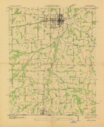
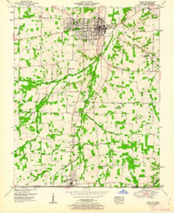
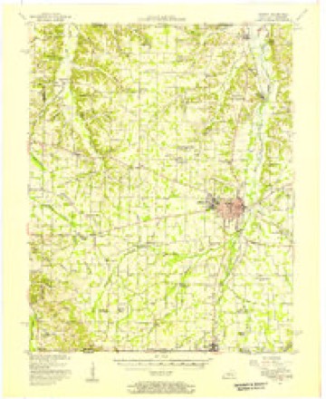
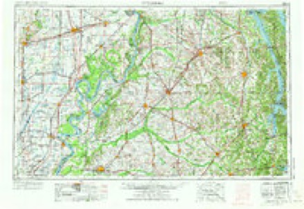
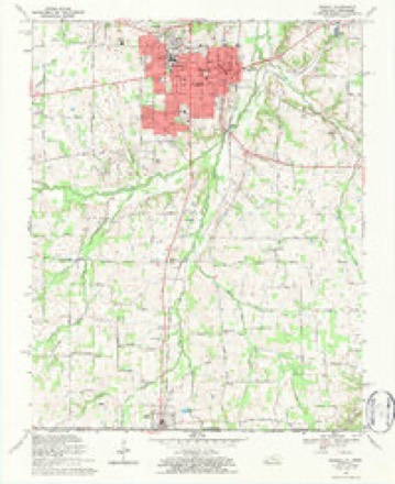
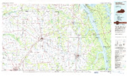
13 topographic sheets cover this place, the earliest surveyed in 1936 and the latest in 1986. It stands in the Hazel-Lynn Grove census division. It lies in ZIP code area 42049. It stands on White Oak Creek. The Survey maps it on the Murray quadrangle. It stands 554 feet above sea level.
Topographic sheets covering this place
6 surveys from 13 printed sheetsMatched by testing this settlement's coordinate against the published boundary of every sheet in the United States Geological Survey's historical collection. Each opens the scanned sheet at the Survey.
- 1936 USGS Hazel quadrangle1:24000
- 1951 USGS Hazel quadrangle1:24000, 2 printings
- 1951 USGS Murray quadrangle1:62500
- 1956 USGS Dyersburg quadrangle1:250000, 4 printings
- 1969 USGS Murray quadrangle1:24000, 3 printings
- 1986 USGS Murray quadrangle1:100000, 2 printings
Fires near this place
17 since 1998Regional context, not property-specific evidence. The federal wildfire occurrence database lists 17 fires within 5 miles of Midway between 1998 and 2012, burning about 60 acres in total. 1 started naturally. None was recorded as arson. Distance is straight-line from the map coordinates, so a fire counted here may appear on a neighbouring settlement's page as well.
| Reported cause | Fires |
|---|---|
| Missing data/not specified/undetermined | 8 |
| Debris and open burning | 2 |
| Railroad operations and maintenance | 2 |
| Recreation and ceremony | 2 |
| Other causes | 1 |
| Misuse of fire by a minor | 1 |
| Natural | 1 |
The most recent of them, most recent first, with the day each was reported and the service that recorded it.
| Date | Cause | Size | Reported by | Name on the report |
|---|---|---|---|---|
| 7 September 2012 | Natural | 1.0 acres | Kentucky Division of Forestry | TAYLOR TRA |
| 31 August 2007 | Railroad operations and maintenance | 4.0 acres | Kentucky Division of Forestry | not named |
| 4 March 2006 | Missing data/not specified/undetermined | under an acre | Kentucky Division of Forestry | not named |
| 28 March 2004 | Missing data/not specified/undetermined | under an acre | Kentucky Division of Forestry | not named |
| 23 March 2004 | Missing data/not specified/undetermined | 1.0 acres | Kentucky Division of Forestry | not named |
| 9 February 2008 | Debris and open burning | 1.0 acres | Tennessee Division of Forestry | not named |
| 21 February 2004 | Missing data/not specified/undetermined | 2.0 acres | Kentucky Division of Forestry | not named |
| 1 February 1998 | Misuse of fire by a minor | 1.0 acres | Kentucky Division of Forestry | not named |
Settlements close enough to share some of these fires:
Mines and quarries near this place
4 within 5 milesRegional context, not property-specific evidence. The federal mineral resources record lists 4 workings within 5 miles of Midway: 2 past producers, 1 unknown, 1 producer. 1 still produces. What was taken out: Clay, Sand and Gravel, Construction. Distance is straight-line from the map coordinates, so a quarry counted here may appear on a neighbouring settlement's page as well.
| Where | Site | Commodity | Status | Recorded |
|---|---|---|---|---|
| Murray Mine | Sand and Gravel, Construction | Producer | ||
| Clay Pit | Clay | Past Producer | ||
| Spinks Clay Number 10 Pit | Clay | Past Producer | Sedimentary | |
| Spinks Clay Number 10 Pit | Clay | Unknown |
Storms near this place
11 since 1996Regional context, not property-specific evidence. The National Weather Service names Midway in 11 storm reports between 1996 and 2025: 6 thunderstorm wind, 2 tornado, 2 flood, 1 flash flood. The reports record 4 injuries. Each account below is quoted exactly as the forecast office filed it, from the NOAA Storm Events Database, and each date opens the federal record of that event.
| When | Event | Place named | Harm | What the report says |
|---|---|---|---|---|
| May 2000 | Tornado (F2) | Midway | 4 hurt, $250,000 | The peak intensity of the tornado was rated F-2, with estimated maximum winds near 125 MPH. Although the tornado was only on the ground for a mile or two, it struck the small community of Midway directly, causing extensive damage. Two mobile homes housing migrant workers were destroyed. One of the persons in a mobile home was seriously injured. Three others sustained relatively minor injuries. A used car dealership and a grocery store sustained major damage to roofs and walls. Several additional homes, mobile homes, and barns received moderate to major damage. Numerous trees in the area were downed or uprooted. U.S. Highway 641 was closed for about 18 hours south of Murray due to debris and power lines across the road. The owner of the grocery and an attached home estimated his losses at just under 100,000 dollars. |
| August 2021 | Flash Flood | Midway | $75,000 | Highway 121 south of New Concord was closed due to flooding. In the New Concord area, a bridge on Highway 280 at Panther Creek was closed due to pavement washed away. Rainfall reports of up to 7 inches were received from this event in Calloway County. A co-operative observer in Murray measured a storm total rainfall of 3.45 inches over the past 24 hours. |
| March 2016 | Tornado (EF0) | Midway | $30,000 | A National Weather Service damage survey revealed a brief EF-0 tornado struck the west side of the community of Midway. The tornado occurred along Highway 1828 and traveled about one-quarter mile northeast across U.S. Highway 641. On Highway 1828, approximately half of the roof was ripped off a single family residence, including the decking and some rafters. Small tree limbs were broken, and the underpinning was blown from a mobile home. Power lines were brought down. Peak winds were estimated near 85 mph. |
| May 2011 | Thunderstorm Wind | Midway | $20,000 | Several trees were snapped. Pieces of tin metal roofing were thrown up to one-half mile. Barn roofs were damaged. TV antennas were broken. |
| July 2012 | Thunderstorm Wind | Midway | $5,000 | Parts of a tobacco barn roof were blown off. Part of the metal roof of a second tobacco barn was lifted. Two large oak trees were blown down. Corn plants were blown over. |
| June 1996 | Thunderstorm Wind | Midway | $5,000 | no account filed |
| June 2001 | Thunderstorm Wind | Midway | $3,000 | A utility company reported trees down on Highway 641. |
| May 2025 | Thunderstorm Wind | Midway | $1,000 | A large tree was blown down in Midway. |
| March 2022 | Thunderstorm Wind | Midway | - | Due to a combination of heavy rain and strong winds, a semi-trailer carrying logs overturned on U.S. Highway 641 south of Murray. The driver was ejected from the cab and died (indirect). Highway 641 was closed for several hours. |
| March 2014 | Flood | Midway | - | The middle fork of the Clarks River flooded a secondary road just south of the Murray city limits. Eight to twelve inches of water were flowing over the road. |
| April 2013 | Flood | Midway | - | Kentucky Highway 1828 was closed due to flooding. A trained spotter in the area measured 1.40 inches of rain in about 24 hours. |
Nearest settlements
The eight closest, with where each one stands in the county. Distances are straight-line, computed from the Geographic Names Information System coordinates.
| Map | Place | Distance | Sheets |
|---|---|---|---|
| Halfway (historical) | 1.1 miles | 13 | |
| Steeleville (historical) | 1.7 miles | 13 | |
| Bakers Crossroads | 1.8 miles | 13 | |
| Locust Grove (historical) | 2.2 miles | 13 | |
| South Murray | 2.3 miles | 13 | |
| Hickory Grove (historical) | 2.6 miles | 13 | |
| West Murray | 3.1 miles | 13 | |
| Stone (historical) | 3.2 miles | 13 |
Elsewhere
Matched on this settlement's Geographic Names Information System number rather than its name, so it cannot be a different place of the same name in another state.
| Wikipedia article on Midway | An encyclopaedic summary. Its text is share-alike, so it is linked here rather than copied. |
| Wikidata item Q38249587 | The structured record the population and elevation above come from. Public domain (CC0). |
Provenance
This settlement is recorded in the Geographic Names Information System as feature 508600. The sheet list is computed by point-in-boundary test against the United States Geological Survey's historical topographic inventory. Both are works of the United States government and carry no copyright under 17 U.S.C. 105.
Wildfire. Short, Karen C. 2022. Spatial wildfire occurrence data for the United States, 1992-2020 [FPA_FOD_20221014]. 6th Edition. Fort Collins, CO: Forest Service Research Data Archive. https://doi.org/10.2737/RDS-2013-0009.6 Collected with United States Government funding and usable without additional permissions or fees.
Mines and quarries. USGS Mineral Resources Data System (MRDS) https://mrdata.usgs.gov/mrds/ A work of the United States government, no copyright under 17 U.S.C. 105.
Storms. NOAA National Centers for Environmental Information, Storm Events Database https://www.ncei.noaa.gov/stormevents/ A work of the United States government, no copyright under 17 U.S.C. 105. Narratives are quoted verbatim from the National Weather Service report and are not edited or summarised.