 Block
Oak Grove, Kentucky
10 topographic sheets cover this place, the earliest surveyed in 1944 and the latest in 1980. It stands in the Oak Grove-Pembroke census division. It lies in ZIP code area 42262. The Survey maps it on the Oak Grove quadrangle. 7,931 people lived here at the 2020 count. It stands 541 feet above sea level.
On record in Oak Grove
Buildings and businesses the archive holds for this place. Each opens its own page, with the source record it came from.
On the National Register 1 record
- Cedar Grovelisted 1977
Population over time
2 figuresOak Grove grew from 7,489 to 7,931 between 2010 and 2020. These are the recorded population figures Wikidata holds for this place, reached through the Geographic Names Information System number this page is keyed on rather than by name, so they belong to this place and not to another of the same name. Most are census counts, but not all are: an early figure may be a founding or settlement estimate, and an estimate published within five years of a census is left out. The change column is computed, and is left blank where more than 20 years separate a figure from the one before it, because a gap that long is not a change between two counts.
| Year | People | Change |
|---|---|---|
| 2010 | 7,489 | |
| 2020 | 7,931 | +442 (+6%) |
Topographic sheets covering this place
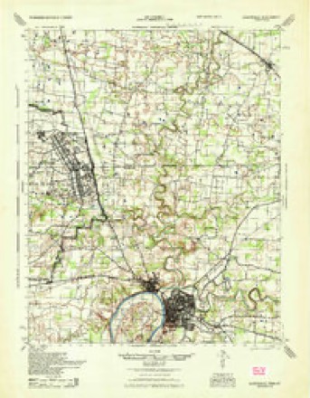
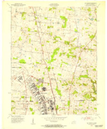
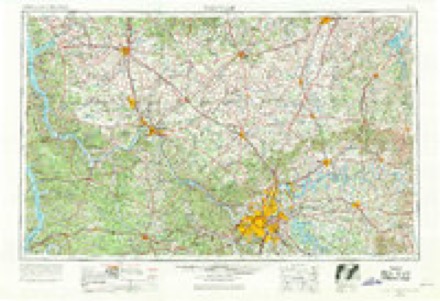
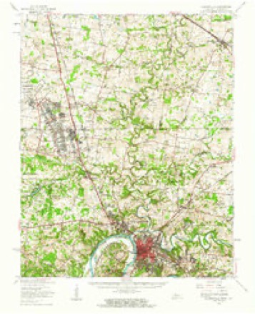
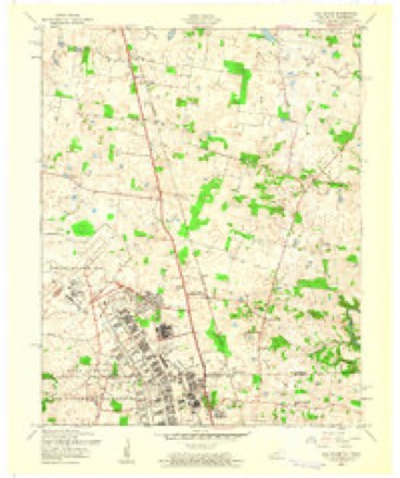
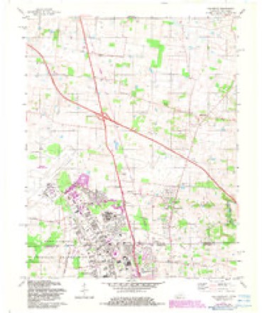
8 surveys from 10 printed sheetsMatched by testing this settlement's coordinate against the published boundary of every sheet in the United States Geological Survey's historical collection. Each opens the scanned sheet at the Survey.
- 1944 USGS Clarksville quadrangle1:50000
- 1951 USGS Oak Grove quadrangle1:24000
- 1956 USGS Nashville quadrangle1:250000, 2 printings
- 1957 USGS Clarksville quadrangle1:62500
- 1957 USGS Oak Grove quadrangle1:24000
- 1959 USGS Nashville quadrangle1:250000
- 1979 USGS Oak Grove quadrangle1:24000, 2 printings
- 1980 USGS Hopkinsville quadrangle1:100000
Fires near this place
4 since 2005Regional context, not property-specific evidence. The federal wildfire occurrence database lists 4 fires within 5 miles of Oak Grove between 2005 and 2007, burning about 68 acres in total. None started naturally. None was recorded as arson. Distance is straight-line from the map coordinates, so a fire counted here may appear on a neighbouring settlement's page as well.
| Reported cause | Fires |
|---|---|
| Other causes | 1 |
| Missing data/not specified/undetermined | 1 |
| Smoking | 1 |
| Railroad operations and maintenance | 1 |
The most recent of them, most recent first, with the day each was reported and the service that recorded it.
| Date | Cause | Size | Reported by | Name on the report |
|---|---|---|---|---|
| 20 September 2007 | Other causes | under an acre | Tennessee Division of Forestry | DURRETT FIRE |
| 20 August 2007 | Smoking | 2.0 acres | Kentucky Division of Forestry | not named |
| 20 August 2007 | Railroad operations and maintenance | 15 acres | Kentucky Division of Forestry | not named |
| 17 October 2005 | Missing data/not specified/undetermined | 50 acres | Kentucky Division of Forestry | not named |
Settlements close enough to share some of these fires:
Storms near this place
33 since 1995Regional context, not property-specific evidence. The National Weather Service names Oak Grove in 33 storm reports between 1995 and 2025: 15 thunderstorm wind, 13 hail, 2 funnel cloud, 1 tornado. The reports record 5 injuries. Each account below is quoted exactly as the forecast office filed it, from the NOAA Storm Events Database, and each date opens the federal record of that event.
| When | Event | Place named | Harm | What the report says |
|---|---|---|---|---|
| January 1999 | Thunderstorm Wind | Oak Grove | 3 hurt, $250,000 | A thunderstorm along a squall line produced a microburst at Oak Grove, at and near the Fort Campbell military installation. Several mobile homes were damaged. Numerous trees were down, and the roof was damaged on a church on Kentucky 115. A store at the entrance to Fort Campbell suffered damage to the roof and windows. A van was blown off the road and overturned in the parking lot of the store. A guard shack at the entrance to the post was picked up and moved with guards in it. At least one of the guards was injured. A total of three people were treated for cuts from flying glass. The roof of a 95-room guesthouse on the army base was ripped off, causing the dislocation of its residents. |
| June 1997 | Tornado (F1) | Oak Grove | 2 hurt, $200,000 | Several eyewitnesses including at least a half dozen policemen or firemen had nearly identical reports of very narrow rope shaped vortices descending to the ground briefly. There were at least two separate occurrences in the Oak Grove area with another occurring adjacent to the Fort Campbell air field. A 52 MPH wind was reported at the air field, although it was not thought to be in the direct path of the funnel cloud. Some descriptions sounded like the funnel clouds formed in conjunction with towering cumulus clouds instead of cumulonimbus clouds (thunderstorms). Nobody remembered hearing any thunder although a minority reported some rain. A television station in Hopkinsville obtained videotape of the Oak Grove tornado. The primary damage was in a mobile home park, where a mobile home was overturned and destroyed. Two occupants of the mobile home were slightly injured, but did not require treatment at any hospital. Other mobile homes in the park were slightly damaged. An estimated 130,000 dollars damage occurred at the Fort Campbell Army Post due to a brief funnel touchdown. Most of the damage at the base occurred in the shop area of the Directorate of Logistics building, where it tore off the roof, exposing expensive test equipment. The upper part of a wall in an adjacent building was damaged. |
| May 1995 | Thunderstorm Wind | Oak Grove | $330,000 | Numerous trees were toppled from thunderstorm winds in the vicinity of Oak Grove. Six cars and nine mobile homes were destroyed, and mobile homes in four mobile home parks sustained extensive damage from falling trees. |
| February 2008 | Thunderstorm Wind | Oak Grove | $320,000 | Several dozen homes received minor wind damage, mostly to shingles. Additional damage occurred to fewer than ten homes. Two barns were damaged. A deck was blown off a home near exit 86 on Interstate 24. Dozens of large trees and signs were blown over. The microburst was about 1.5 miles wide. |
| October 2009 | Lightning | Oak Grove | $70,000 | A lightning strike caused considerable damage at the Oak Grove City Hall. Computer equipment used by the police department and city workers was damaged. Lightning struck the communications antenna on the side of the building. The main radio terminal used by emergency dispatchers was destroyed. |
| May 2008 | Thunderstorm Wind | Oak Grove | $35,000 | Several trees were blown down, along with power lines. Two roofs were damaged. A few roadways were partially blocked. |
| June 2009 | Thunderstorm Wind | Oak Grove | $25,000 | A tree fell on a truck. A storage barn roof and doors were blown off. |
| February 2014 | Thunderstorm Wind | Oak Grove | $20,000 | The roof was blown off a barn. There was roof damage to a building. |
| June 2019 | Thunderstorm Wind | Oak Grove | $5,000 | Siding was peeled back from a house. |
| September 2013 | Thunderstorm Wind | Oak Grove | $5,000 | Several trees and limbs were blown down. |
| August 2012 | Thunderstorm Wind | Oak Grove | $5,000 | A couple of trees were blown down. Both trees landed across roads, causing traffic problems. One of the trees was 20 feet tall. |
| May 2005 | Thunderstorm Wind | Oak Grove | $4,000 | Along Interstate 24, speed limit signs and informational signs were blown down between mile markers 86 and 89. A large sign was blown across U.S. Highway 41A near Oak Grove, and a billboard was blown down. Near Pembroke, winds estimated near 60 MPH by a trained spotter blew down several trees on Highway 115. The peak wind gust measured at Fort Campbell was 55 MPH. |
| March 2022 | Thunderstorm Wind | Oak Grove | $2,000 | Large tree limbs were blown down at Fort Campbell North. |
| May 2025 | Hail | Oak Grove | - | Hail estimated to quarter size fell in Oak Grove. |
| May 2023 | Hail | Oak Grove | - | The hail was reported at the welcome center rest stop along Interstate 24. |
| May 2015 | Funnel Cloud | Oak Grove | - | A funnel cloud was videotaped over open farmland in the vicinity of Oak Grove, near exit 86 of Interstate 24. |
| August 2014 | Thunderstorm Wind | Oak Grove | - | A wind gust to 63 mph was measured by automated observing equipment at the Fort Campbell airfield. |
| July 2014 | Funnel Cloud | Oak Grove | - | There were two reports of rotation and a funnel cloud, including one from a storm chaser and one from a trained spotter. |
| May 2010 | Thunderstorm Wind | Oak Grove | - | An amateur radio operator on the northeast side of Fort Campbell estimated a wind gust to 60 mph. |
| February 2009 | Hail | Oak Grove | - | Penny size hail was reported along Interstate 24. |
| July 2004 | Thunderstorm Wind | Oak Grove | - | Several large trees were blown down in the southern part of the county. |
| June 1997 | Flash Flood | Oak Grove | - | Radar indicated between 2 and 2.5 inches of rain fell within 3 hours time across southern Christian County between Oak Grove and Hopkinsville. Some road flooding occurred. |
| April 2020 | Hail | Oak Grove | - | no account filed |
| July 2012 | Hail | Oak Grove | - | no account filed |
| March 2012 | Thunderstorm Wind | Oak Grove | - | no account filed |
| April 2009 | Hail | Oak Grove | - | no account filed |
| June 2009 | Hail | Oak Grove | - | no account filed |
| April 2006 | Hail | Oak Grove | - | no account filed |
| May 2003 | Hail | Oak Grove | - | no account filed |
| May 2000 | Hail | Oak Grove | - | no account filed |
| May 1999 | Hail | Oak Grove | - | no account filed |
| April 1997 | Hail | Oak Grove | - | no account filed |
| February 1996 | Hail | Oak Grove | - | no account filed |
Nearest settlements
The eight closest, with where each one stands in the county. Distances are straight-line, computed from the Geographic Names Information System coordinates.
| Map | Place | Distance | Sheets |
|---|---|---|---|
| Hensleytown | 1.7 miles | 10 | |
| Kennedy | 1.9 miles | 10 | |
| Edgoten | 1.9 miles | 10 | |
| Saint Elmo | 3.7 miles | 10 | |
| Douglas (historical) | 4.3 miles | 9 | |
| Fidelio | 4.8 miles | 10 | |
| Barkers Mill | 5.0 miles | 9 | |
| Garrettsburg | 5.3 miles | 9 |
Elsewhere
Matched on this settlement's Geographic Names Information System number rather than its name, so it cannot be a different place of the same name in another state.
| Wikipedia article on Oak Grove | An encyclopaedic summary. Its text is share-alike, so it is linked here rather than copied. |
| Wikidata item Q2549668 | The structured record the population and elevation above come from. Public domain (CC0). |
Provenance
This settlement is recorded in the Geographic Names Information System as feature 499655. The sheet list is computed by point-in-boundary test against the United States Geological Survey's historical topographic inventory. Both are works of the United States government and carry no copyright under 17 U.S.C. 105.
Wildfire. Short, Karen C. 2022. Spatial wildfire occurrence data for the United States, 1992-2020 [FPA_FOD_20221014]. 6th Edition. Fort Collins, CO: Forest Service Research Data Archive. https://doi.org/10.2737/RDS-2013-0009.6 Collected with United States Government funding and usable without additional permissions or fees.
Storms. NOAA National Centers for Environmental Information, Storm Events Database https://www.ncei.noaa.gov/stormevents/ A work of the United States government, no copyright under 17 U.S.C. 105. Narratives are quoted verbatim from the National Weather Service report and are not edited or summarised.