 Block
Oak Hill, Kentucky
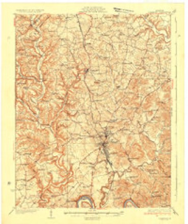
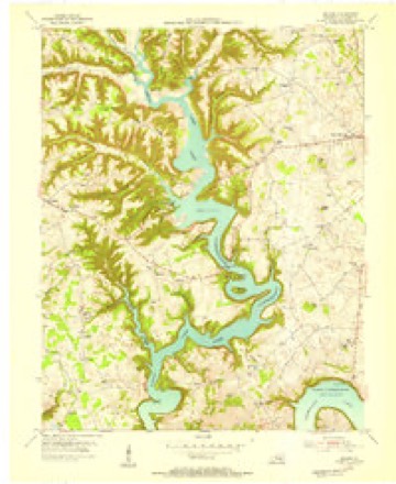
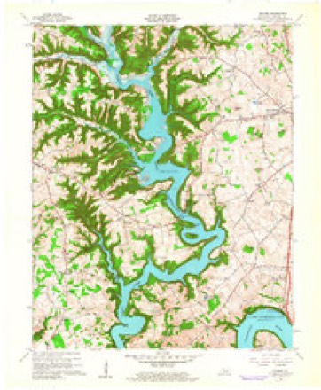
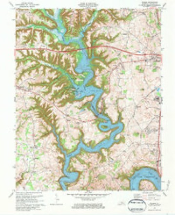
10 topographic sheets cover this place, the earliest surveyed in 1935 and the latest in 1982. It stands in the Somerset census division. It lies in ZIP code area 42503. It lies near Bogle Knob. The Survey maps it on the Delmer quadrangle.
Topographic sheets covering this place
7 surveys from 10 printed sheetsMatched by testing this settlement's coordinate against the published boundary of every sheet in the United States Geological Survey's historical collection. Each opens the scanned sheet at the Survey.
- 1935 USGS Somerset quadrangle1:62500
- 1954 USGS Delmer quadrangle1:24000
- 1957 USGS Winchester quadrangle1:250000, 3 printings
- 1960 USGS Winchester quadrangle1:250000
- 1961 USGS Delmer quadrangle1:24000
- 1973 USGS Delmer quadrangle1:24000, 2 printings
- 1982 USGS Somerset quadrangle1:100000


Fires near this place
37 since 1998Regional context, not property-specific evidence. The federal wildfire occurrence database lists 37 fires within 5 miles of Oak Hill between 1998 and 2020, burning about 275 acres in total. None started naturally. 5 were recorded as arson. Distance is straight-line from the map coordinates, so a fire counted here may appear on a neighbouring settlement's page as well.
| Reported cause | Fires |
|---|---|
| Debris and open burning | 20 |
| Recreation and ceremony | 6 |
| Arson/incendiarism | 5 |
| Railroad operations and maintenance | 3 |
| Missing data/not specified/undetermined | 2 |
| Smoking | 1 |
The most recent of them, most recent first, with the day each was reported and the service that recorded it.
| Date | Cause | Size | Reported by | Name on the report |
|---|---|---|---|---|
| 16 September 1999 | Smoking | 2.0 acres | Kentucky Division of Forestry | not named |
| 16 August 2007 | Debris and open burning | 2.0 acres | Kentucky Division of Forestry | not named |
| 15 August 2007 | Debris and open burning | 5.0 acres | Kentucky Division of Forestry | not named |
| 30 June 2012 | Debris and open burning | 40 acres | Kentucky Division of Forestry | RADIO TOWE |
| 29 June 2012 | Debris and open burning | 6.0 acres | Kentucky Division of Forestry | RADIO TOWE |
| 17 June 2007 | Railroad operations and maintenance | 5.0 acres | Kentucky Division of Forestry | not named |
| 6 April 2013 | Debris and open burning | under an acre | Kentucky Division of Forestry | LISA |
| 27 April 2001 | Railroad operations and maintenance | 5.0 acres | Kentucky Division of Forestry | not named |
Settlements close enough to share some of these fires:
Mines and quarries near this place
2 within 5 milesRegional context, not property-specific evidence. The federal mineral resources record lists 2 workings within 5 miles of Oak Hill: 1 prospect, 1 producer. 1 still produces. What was taken out: Clay, Stone, Crushed/Broken. Distance is straight-line from the map coordinates, so a quarry counted here may appear on a neighbouring settlement's page as well.
| Where | Site | Commodity | Status | Recorded |
|---|---|---|---|---|
| Fishing Creek Shale | Clay | Prospect | ||
| Somerset Quarry | Stone, Crushed/Broken | Producer |
Storms near this place
21 since 2004Regional context, not property-specific evidence. The National Weather Service names Oak Hill in 21 storm reports between 2004 and 2024: 11 thunderstorm wind, 4 flash flood, 4 flood, 2 hail. No death or injury is recorded in these reports. Each account below is quoted exactly as the forecast office filed it, from the NOAA Storm Events Database, and each date opens the federal record of that event.
| When | Event | Place named | Harm | What the report says |
|---|---|---|---|---|
| June 2019 | Thunderstorm Wind | Oak Hill | $80,000 | Dispatch reported that a tree was blown down on Danny Drive south of Burnside, while a large oak tree was blown down onto a house south of Somerset. |
| February 2011 | Thunderstorm Wind | Oak Hill | $25,000 | An employee of Alton Blakely Ford south of Somerset reported that extensive damage occurred to numerous vehicles on the car lot, the dealership sign, the showroom roof, and the buildings HVAC system. The paint, windshields, and headlights of numerous vehicles had been damaged to varying degrees by flying debris. The thunderstorms winds blew a piece of the damaged fiberglass sign through the windshield of one of the cars on the dealership lot. |
| June 2023 | Thunderstorm Wind | Oak Hill | $20,000 | A tree was reported down on a house along Patterson Branch Road. The extent of the damage is unknown. |
| February 2019 | Flood | Oak Hill | $20,000 | Local media reported standing water over Slate Branch Road at Madira Drive in southern Somerset, causing a man to have to be rescued from his car as he bypassed a road closure sign and drove into the water. |
| April 2023 | Thunderstorm Wind | Oak Hill | $1,000 | A powerline was blown down near the intersection of Winding Ridge Road and Oak Hill Road. |
| May 2020 | Flash Flood | Oak Hill | $100 | A trained spotter observed water of 4 to 6 inches deep flowing over the intersection of Slate Branch Road and Oak Hill Road southwest of Somerset. |
| May 2020 | Flash Flood | Oak Hill | $100 | A trained spotter observed 4 to 6 inches of flowing water over West Bourbon Road on the southwest side of Somerset. |
| July 2024 | Thunderstorm Wind | Oak Hill | - | A tree was reported to have been downed onto Southridge Drive in the Oak Hill community, on the south side of Somerset. |
| April 2023 | Thunderstorm Wind | Oak Hill | - | A tree was blown down onto Slate Branch Road south of Somerset. |
| June 2023 | Thunderstorm Wind | Oak Hill | - | Trees were blown down and blocking the roadway at Oak Hill Baptist Church in Somerset, making the road impassable. |
| June 2023 | Thunderstorm Wind | Oak Hill | - | Large branches were reported in the roadway on Grand Central Blvd, near the intersection with Grand Circle, southwest of Somerset. |
| June 2022 | Thunderstorm Wind | Oak Hill | - | Trees were blown down along Bourbon Road near Somerset. |
| February 2021 | Flood | Oak Hill | - | Water was reported over the roadway about 2 SSW of Somerset, making the road impassable. The specific road was not defined. |
| July 2019 | Flash Flood | Oak Hill | - | Dispatch reported that Patterson Branch Road was inundated with flowing water southwest of Somerset. |
| February 2019 | Flood | Oak Hill | - | A trained spotter reported flooding south of Somerset near Waitsboro. |
| August 2016 | Thunderstorm Wind | Oak Hill | - | Local emergency management relayed a report of a tree down southwest of Somerset. Shingles were also blown off of a roof nearby. |
| July 2015 | Thunderstorm Wind | Oak Hill | - | A tree was blown down on Oak Hill Rd. on Hwy 1577. |
| April 2014 | Flood | Oak Hill | - | Eight inches of water was reported over the road at Slate Branch and Madira Road. The road was closed. |
| May 2010 | Flash Flood | Oak Hill | - | Oak Hill Road 1 mile north northwest of the Somerset-Pulaski County airport was closed due to flooding. |
| April 2005 | Hail | Oak Hill | - | no account filed |
| June 2004 | Hail | Oak Hill | - | no account filed |
Nearest settlements
The eight closest, with where each one stands in the county. Distances are straight-line, computed from the Geographic Names Information System coordinates.
| Map | Place | Distance | Sheets |
|---|---|---|---|
| Crockett (historical) | 1.1 miles | 10 | |
| Bourbon | 1.3 miles | 11 | |
| Prater (historical) | 1.6 miles | 11 | |
| Waite (historical) | 1.9 miles | 10 | |
| Ferguson | 2.5 miles | 11 | |
| Sardis | 2.8 miles | 10 | |
| Durham (historical) | 2.9 miles | 11 | |
| Elihu | 3.0 miles | 11 |
Provenance
This settlement is recorded in the Geographic Names Information System as feature 499700. The sheet list is computed by point-in-boundary test against the United States Geological Survey's historical topographic inventory. Both are works of the United States government and carry no copyright under 17 U.S.C. 105.
Wildfire. Short, Karen C. 2022. Spatial wildfire occurrence data for the United States, 1992-2020 [FPA_FOD_20221014]. 6th Edition. Fort Collins, CO: Forest Service Research Data Archive. https://doi.org/10.2737/RDS-2013-0009.6 Collected with United States Government funding and usable without additional permissions or fees.
Mines and quarries. USGS Mineral Resources Data System (MRDS) https://mrdata.usgs.gov/mrds/ A work of the United States government, no copyright under 17 U.S.C. 105.
Storms. NOAA National Centers for Environmental Information, Storm Events Database https://www.ncei.noaa.gov/stormevents/ A work of the United States government, no copyright under 17 U.S.C. 105. Narratives are quoted verbatim from the National Weather Service report and are not edited or summarised.