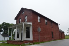
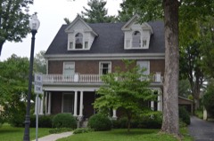
Block
From the record
43 National Register listings published here, 1 of them a National Historic Landmark.
Sources: the National Register database, National Park Service
86 topographic sheets and 13 fire insurance atlases across 2 places.
43 National Register listings published here, 1 of them a National Historic Landmark.
Sources: the National Register database, National Park Service
Taken for the Office of War Information and the Farm Security Administration, who photographed the country between 1935 and 1944. Works of United States government photographers, with no known restriction on use. Each opens its catalogue record.
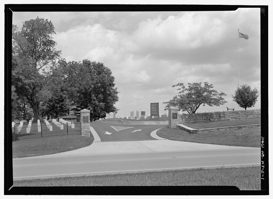
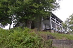
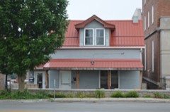
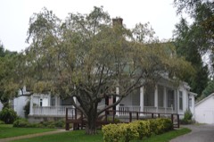
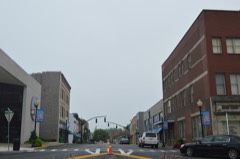
Every property in this county listed on the National Register of Historic Places, with the year it was listed and the federal nomination document.
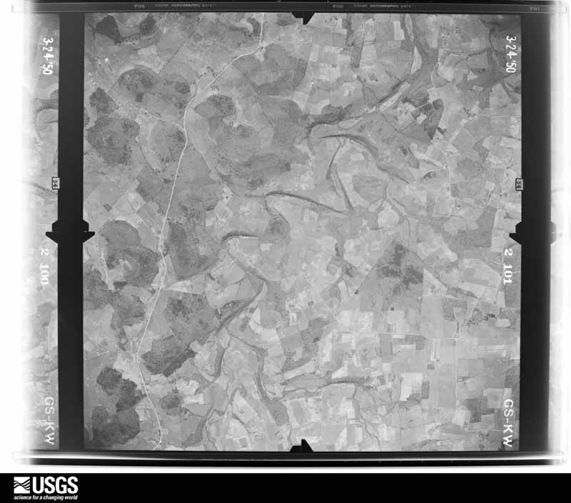
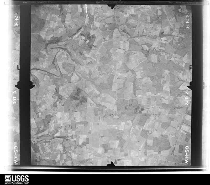
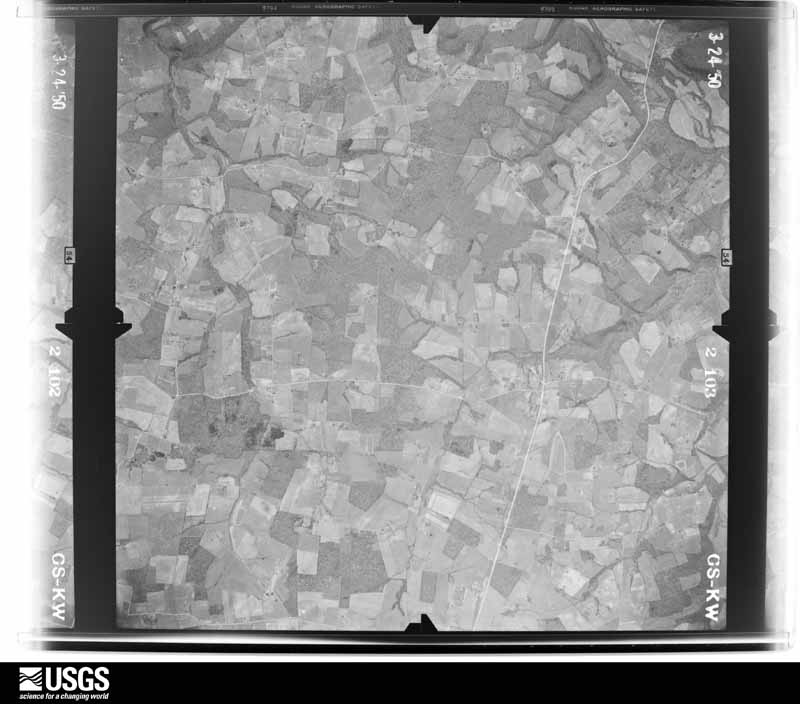
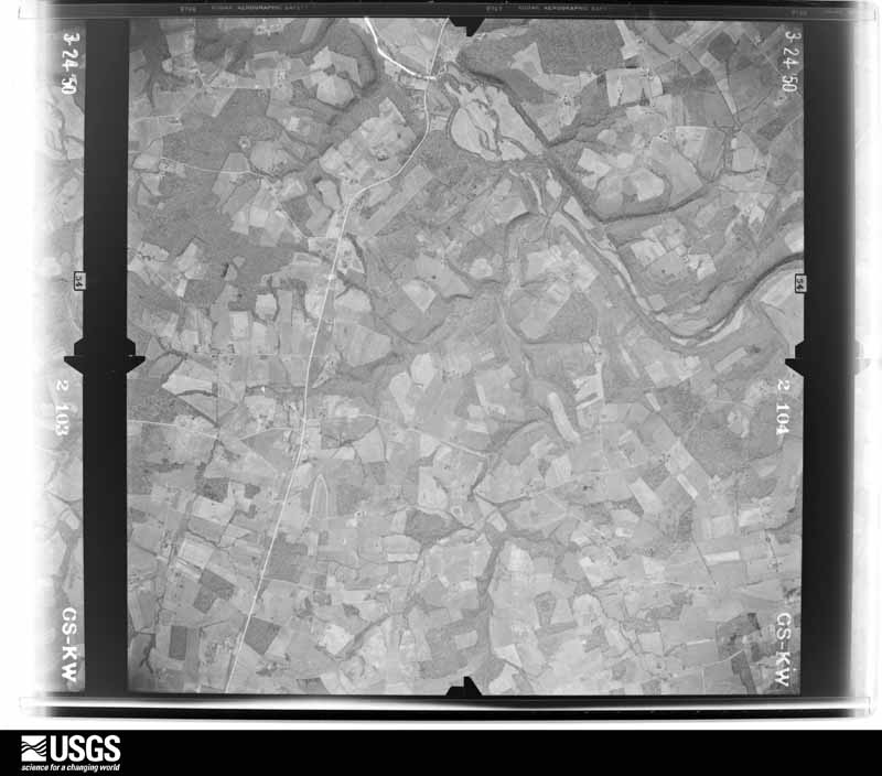
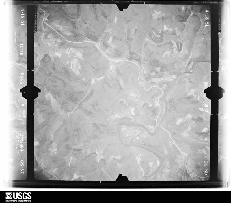
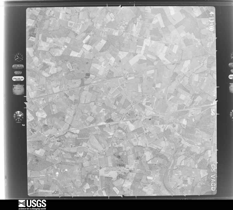
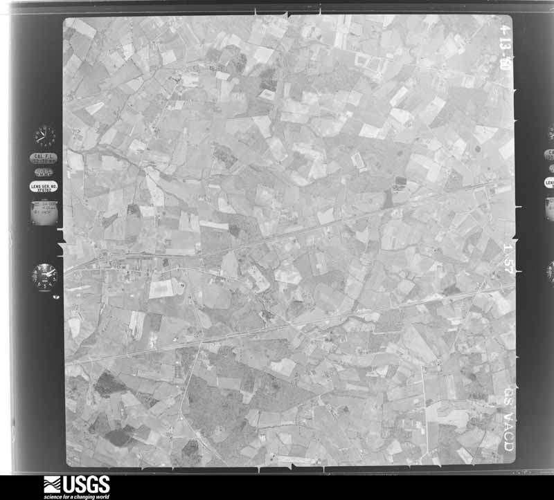
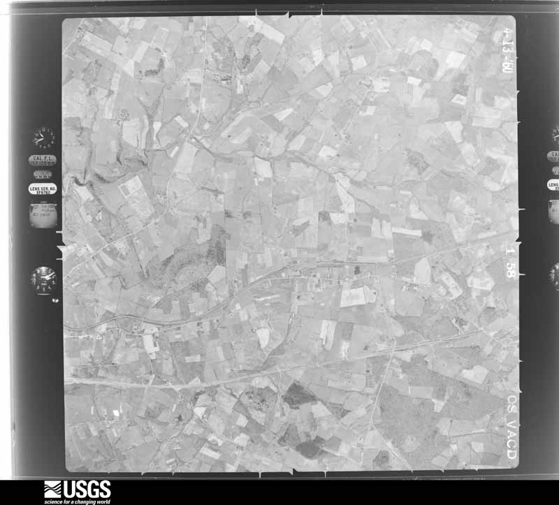
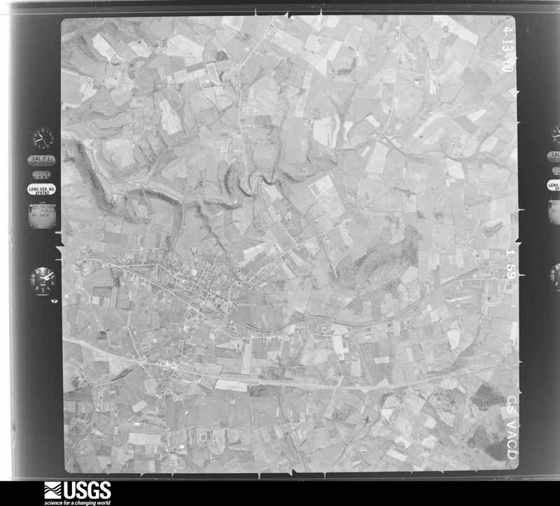
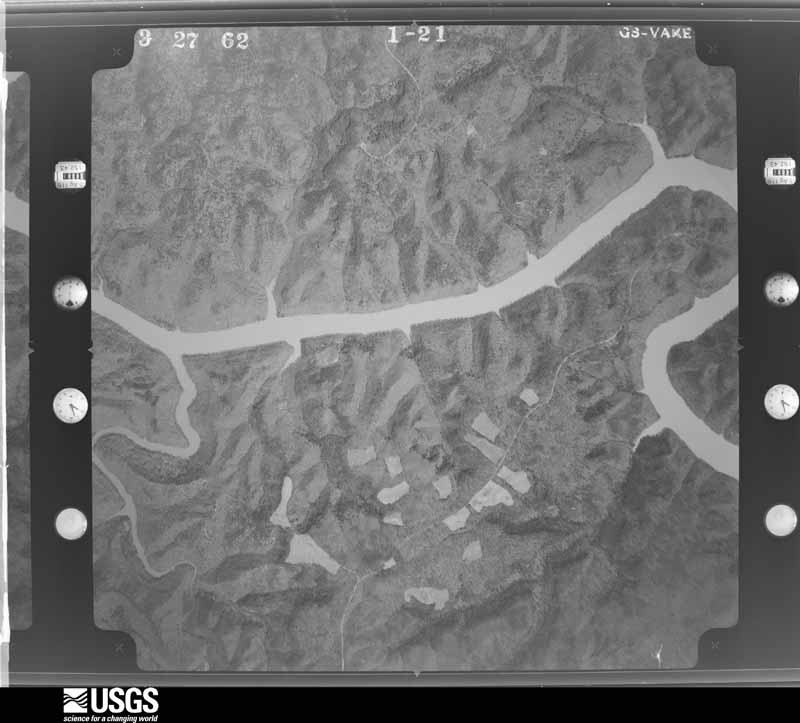
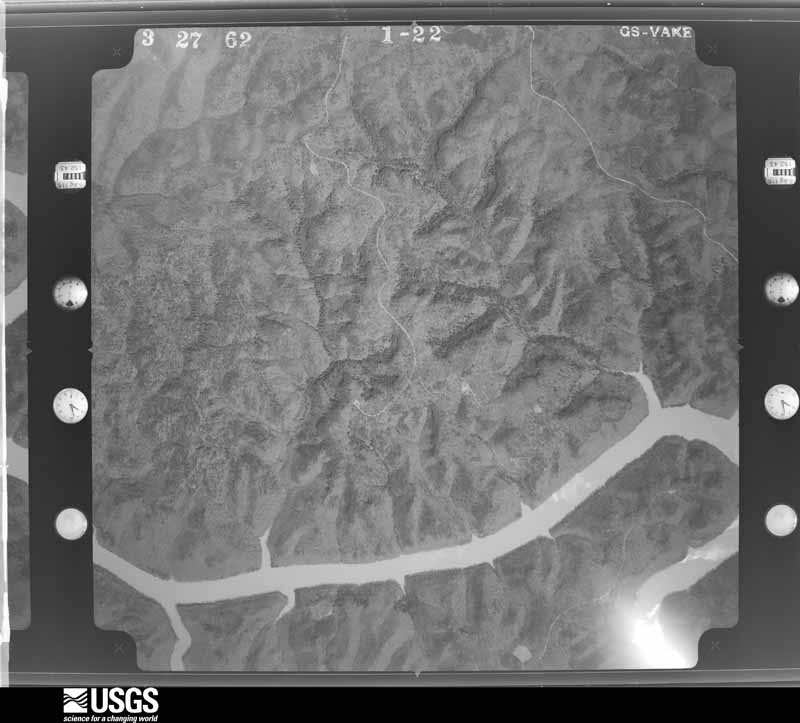
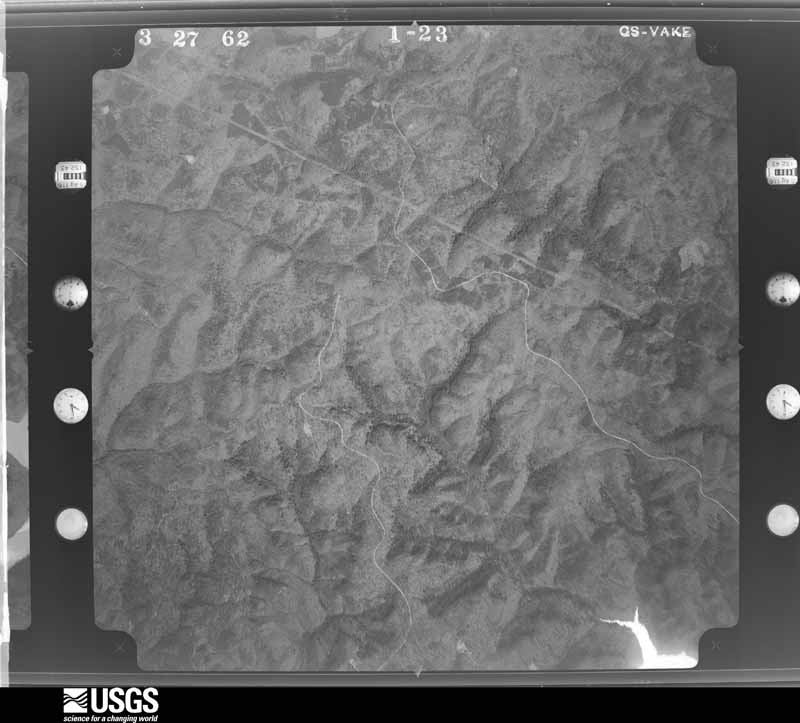
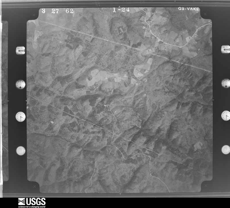
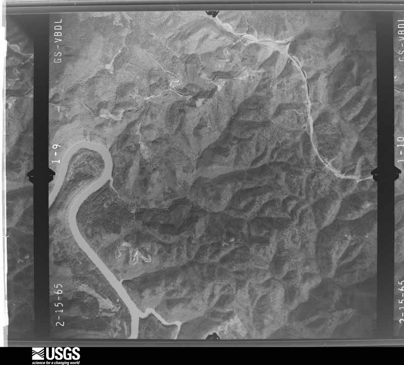
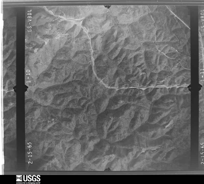
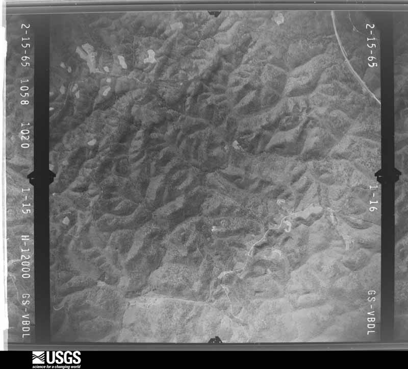
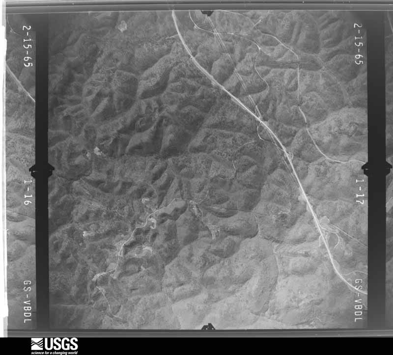
Flown by the U.S. Geological Survey between 1937 and 1989, the Aerial Photo Single Frames collection is the definitive mid-century view of the land: fields, roads and rivers as the camera saw them. The Survey holds 1,070 frames inside the rectangle that bounds this county; the 32 frames below were taken over the county itself, chosen across the decades of flights (at most four a year from that rectangle), so one flight cannot crowd out the rest. The full set is free to browse and download at EarthExplorer under the dataset Aerial Photo Single Frames.















The thermometers that kept this county's weather, and the gages that measured the flow of its streams, as the federal records hold them. The extremes below are measured values from those records, not estimates.
Who lived here in 1950, one enumeration district at a time, as the Census Bureau described each district. Each row opens its official National Archives result, with Population Schedules and ED Maps available there.
Every wildfire the federal occurrence database records inside this county: 248 of them, burning about 8,294 acres. 1 started naturally and 69 were recorded as arson. Each settlement page carries the fires within five miles of it.
| Reported cause | Fires |
|---|---|
| Debris and open burning | 90 |
| Arson/incendiarism | 69 |
| Missing data/not specified/undetermined | 39 |
| Recreation and ceremony | 37 |
| Railroad operations and maintenance | 5 |
| Smoking | 5 |
| Power generation/transmission/distribution | 1 |
| Equipment and vehicle use | 1 |
| Natural | 1 |
The five largest, by the area the report gives. Three of them were set deliberately.
| Date | Cause | Size | Reported by | Name on the report |
|---|---|---|---|---|
| 13 November 2005 | Arson/incendiarism | 2,537 acres | Daniel Boone National Forest | GILBERTS CREEK |
| 26 November 2016 | Missing data/not specified/undetermined | 643 acres | Daniel Boone National Forest | ADDISON |
| 9 November 2001 | Arson/incendiarism | 500 acres | Kentucky Division of Forestry | not named |
| 30 September 2019 | Missing data/not specified/undetermined | 484 acres | Daniel Boone National Forest | ROCKCASTLE FIRE |
| 17 April 2008 | Missing data/not specified/undetermined | 205 acres | Kentucky Division of Forestry | KING TOWN# 2 |
| 29 April 2001 | Arson/incendiarism | 204 acres | Daniel Boone National Forest | BILLOWS |
| 12 November 2005 | Missing data/not specified/undetermined | 165 acres | Kentucky Division of Forestry | HAYNES CEMETERY |
| 18 June 2007 | Missing data/not specified/undetermined | 165 acres | Kentucky Division of Forestry | BELL FIRE |
Every settlement page carries the fires within five miles of it - see the settlement index below.
The NOAA Storm Events Database holds 761 reports for this county, causing 7 deaths, 65 injuries and about $16,192,750 in recorded property damage. Each settlement page carries the reports that name it.
| Kind of event | Reports |
|---|---|
| Thunderstorm Wind | 459 |
| Hail | 150 |
| Flash Flood | 57 |
| Flood | 33 |
| Tornado | 27 |
| Heavy Rain | 20 |
| Funnel Cloud | 8 |
| Lightning | 7 |
The most serious of them, by death, then injury, then recorded damage. The accounts are quoted exactly as the forecast office filed them.
| When | Event | Place named | Harm | What the report says |
|---|---|---|---|---|
| April 1974 | Tornado (F3) | not stated | 6 killed, 30 hurt, $2,500,000 | no account filed |
| May 2025 | Tornado (EF4) | Ingle | 1 killed | NWS survey teams dispatched on Saturday morning to Russell and |Pulaski Counties, where they were able to confirm a touchdown |along KY-619, about 2.5 miles northeast of Jamestown. Upon |touchdown it caused damage to a garage, two antenna towers, and |several trees. Sporadic damage east of KY-619 seems to suggest |that the tornado may have briefly lifted for a few hundred yards |after its initial touchdown point, before touching back down in a |grove of trees between KY-619 and John Streat Road. EF-1 damage |was observed in this area, with winds estimated between 95 and 100|mph. The tornado caused roofing damage to a house along John |Streat Road as it continued east, also producing a swath of |uprooted trees as it crossed a finger of Lake Cumberland. The |tornado gradually intensified as it crossed Parks Ridge and |continued through the community of Eli and points eastward. The|damage in this area was consistent with high-end EF-1 and EF-2 |winds, between 100 and 130 mph. ||The tornado then continued across the Pulaski County line, where |it caused considerable damage near the Faubush and Nancy |communities, before making it's way to the south side of Somerset.|Here it strengthened as it came down a steep hillside into the |city. Some residences and numerous businesses were affected, with |survey results showing high end EF-2 damage along Parkers Mill |Way and S Hwy 27. On the eastern edge of the city it affected the |South Kentucky RECC, causing catastrophic damage to all buildings,|as well as surrounding businesses. Damage in this region shows a|likely strengthening to low-end EF-3 winds.||The damage path continued on eastward towards the Daniel Boone |National Forest, where additional EF-3 damage was incurred. This|includes the lifting, twisting, and throwing of a high tension |power pole eastward several hundred yards downwind in a nearby |field off of Rush Branch Road, and destroying multiple residences.|High-resolution satellite imagery shows the tornado plowing |through the Daniel Boone Forest, with complete destruction of |trees through the middle of the path. It also reveals a path width|of nearly a mile wide during this time, including the strongest |inflow into the storm. This was also confirmed by the survey crew |on Monday. ||The tornado then exited the forest and moved towards the south|side of London between 11:35 and 11:45 EDT. It is at this point |that it started impacting large residential areas as it set sites |on the London-Corbin Airport. Two teams surveyed the damage in |southern London for several days. The survey results showed that |the tornado continued to strengthen just west of the I-75 |corridor, as it started towards the Sunshine Hills subdivision. It|was here that some of the heaviest damage occurred, with the |tornado taking a direct path through the subdivision. Many homes |were wiped clean from their foundations, with vehicles thrown and |trees debarked with only stubs of the largest limbs left. It is in|this subdivision where the majority of casualties occurred. |Survey teams and subject- matter experts all looked at the damage |that had occurred in this location and agreed that the tornado had|increased again to around 170mph based on the damage, making it |an EF-4 rated tornado. ||After the tornado passed over I-75 around 11:45 EDT, it headed |for the airport, continuing to cause high end EF-3 damage to both |the airport and residential communities adjacent to the west along|the center of it's path. After exiting the airport, it caused |extensive damage at Levi Jackson Park, the Laurel County |Fairgrounds, Crooked Creek Golf Course, and neighboring |subdivisions. The tornado began to lose considerable strength |after this point, with generally EF-0 damage reported as it |neared East Laurel Road (Hwy-80) and Mt. Salem Rd (KY-488). The |tornado appears to have lifted just east of KY-488, based on NWS |ground surveys, satellite, and aerial video. NWS survey teams |followed the circulation path eastward through Clay and Leslie, |but were unable to find any reports that the tornado touched back |down in these counties. ||By the time it lifted, just a few minutes before midnight, the |tornado had carved out a damage path of just shy of 60 miles over|the course of 3 counties. One death was reported in Russell and |another in Pulaski County. Sadly, 17 lives were lost in Laurel |County. |
| April 1974 | Tornado (F3) | not stated | 5 hurt, $2,500,000 | no account filed |
| April 1991 | Thunderstorm Wind | not stated | 5 hurt | no account filed |
| April 1991 | Thunderstorm Wind | not stated | 5 hurt | no account filed |
| April 1974 | Tornado (F3) | not stated | 5 hurt | no account filed |
| May 2004 | Tornado (F1) | Somerset | 4 hurt, $300,000 | A storm survey conducted by the National Weather Service in Jackson, KY confirmed that an F1 tornado touched down near White Oak Gap around 2 am. Maximum wind was determined to be near 100 mph. Five mobile homes were completely destroyed and many were significantly damaged. Four people suffered significant injuries as mobile homes were tossed, and rolled into each other. |
| August 2003 | Lightning | Somerset | 3 hurt, $40,000 | Lightning strikes took out power lines, and left about 450 customers without power for about four or five hours. A bolt of lightning hit a restaurant on United States Route 27 and knocked a 3 by 5 inch hole in the chimney and also damaged electrical equipment. Several motorists witnessed a bolt of lightning hit the pavement along Grand Central Boulevard with one person saying that "it knocked a piece of blacktop up in the air and it fell on the other lane in the street". A Pulaski County teenager was struck by lightning while in a ski boat on Lake Cumberland, and was in serious condition. Two others in the boat were treated for minor injuries. |
| May 2022 | Tornado (EF1) | Bronston | 2 hurt | NWS verified an EF-1 tornado that touched down on Hardwick Road in Bronston, and moved northeast, lifting in the community of Antioch. Two injuries were sustained when a mobile home was flipped on Hardwick Road. The tornado had maximum winds of 110 mph with a path length of just over 3 miles and a path width of 100 yards. A video of the tornado 1 mile NNW of Tateville was also posted on social media. |
| April 1971 | Tornado (F4) | not stated | 2 hurt | no account filed |
| July 2024 | Thunderstorm Wind | Willailla | 1 hurt | The county emergency manager reported one person was injured due to a falling tree on the north side of Lake Cumberland. |
| May 2022 | Thunderstorm Wind | Burnside | 1 hurt | A person was injured by thunderstorm wind gusts in Burnside. |
| August 2003 | Lightning | Burnside | 1 hurt | One man was injured when he was struck by lightning. |
| July 2001 | Lightning | Somerset | 1 hurt | Lightning from a thunderstorm struck a man in the Somerset area. The man survived the strike and received only minor injuries. |
| May 2002 | Hail | Countywide | $5,000,000 | During the evening of May 1st, a severe thunderstorm moved southeast across much of Pulaski county. A large swath of golfball to softball size hail pounded much of the county causing considerable damage to numerous homes and automobiles. Downed trees due to strong winds were reported in Eubank. |
| January 1999 | Thunderstorm Wind | Somerset | $1,000,000 | Thunderstorm winds damaged many homes throughout the southern and central portion of the county. Especially hard hit was the Parkers Mill area where 50 to 70 homes received structural damage according to the Public Safety Officer of the county. Winds were estimated to be 80 to 100 miles an hour. Also trees and power lines were down througout the county. |
| May 2003 | Tornado (F1) | Science Hill | $500,000 | Over 20 homes and 4 barns were damaged or destroyed. Children were in a mobile home which had blown over on Kentucky Highway 1247, but were able to get out before emergency workers arrived. Damage extended from Kentucky Highway 635 near the northwestern county line to Price and Cave Springs roads, east of Science Hill. The tornado also knocked down numerous trees and power lines. |
| June 1994 | Tornado (F1) | not stated | $500,000 | A small tornado in Mount Victory caused minor damage to three mobile homes and two houses and extensive damage to a grocery store, part of its roof was ripped off. County Sheriff reported seven vehicles and several trees and power lines were damaged. |
| April 1993 | Thunderstorm Wind | not stated | $500,000 | Several buildings were damaged by high winds. One radio station reported a wind gust of 60 mph. In addition many trees and power lines were blown down. |
| July 2001 | Tornado (F1) | Somerset | $350,000 | On the afternoon of July 4th, severe thunderstorms developed over portions of south central and southeastern Kentucky. One of the storms spawned a multi-segmented tornado which first touched down northwest of downtown Somerset. The damage began along Old Salts Road where a mobile home was destroyed. Three barns were severely damaged and one barn was destroyed. Many trees were snapped off at the base. The tornado lifted and touched down again in the Norwood Subdivision. Roof damage to framed homes and snapped trees resulted. The tornado skipped along its east southeast path and produced damage again at Highway 27 where two businesses were damaged. Several homes in the Camelot Subdivision received roof damage. The tornado also hit northern Pulaski Middle school where a portion of the school roof blew off then water pipes broke and produced flooding in the building. The last mention of damage occurred near Mount Victory where tree damage was experienced and an outbuilding was blown 18 inches off of its foundation. This tornado skipped continued to skip along a path east southeast into Laurel County. |
| April 1963 | Tornado (F1) | not stated | $250,000 | no account filed |
| August 2010 | Thunderstorm Wind | Somerset | $125,000 | Trees and power lines were blown down mainly in the Somerset area. Areas that received tree and power line damage included Slate Branch Rd south of Somerset, Hwy 1643 east of Somerset, Ferguson, and Bourbon Rd in Oakhill. |
| March 2013 | Tornado (EF1) | Ferguson | $100,000 | A storm damage survey team consisting of officials from the National Weather Service in Jackson, KY and the Ferguson Fire Department confirmed damage from an EF-1 tornado in the Ferguson community. Touchdown occurred at a warehouse building on Waddle Street. The tornado traveled approximately 700 yards, destroying the warehouse, damaging the roofs of several homes and downing multiple trees along it's path. The warehouse building destroyed in this tornado received roof damage from the January 30th tornado as the two tornado tracks overlapped for a short distance. |
| July 2010 | Thunderstorm Wind | Somerset | $100,000 | Numerous trees and power lines were blown down in and around the city of Somerset. |
| March 2008 | Thunderstorm Wind | Somerset | $100,000 | Several trailers were blown over by thunderstorm wind gusts. A trailer in the Science Hill Area on highway 635 was destroyed. Trees and power lines were also blown down both the southern and southwestern portions of the county. |
| April 2007 | Thunderstorm Wind | Somerset | $100,000 | Numerous trees and powerlines down. Several trailers overturned. Damage occurred mainly in the western, northern, and eastern ends of the county. |
| June 2004 | Flash Flood | Tateville | $100,000 | Trailers and automobiles were inundated with water from flash flooding in Tateville. Four to five feet of water was over Highway 90 near Burnside. |
| June 2019 | Thunderstorm Wind | Oak Hill | $80,000 | Dispatch reported that a tree was blown down on Danny Drive south of Burnside, while a large oak tree was blown down onto a house south of Somerset. |
| October 2009 | Thunderstorm Wind | Somerset | $79,000 | Multiple instances of wind damage occurred countywide between 330 pm and 415 pm. |
| April 2009 | Thunderstorm Wind | Eubank | $75,000 | A trailer was blown over. Several trees and power lines were also blown down near Eubank and Woodstock. |
| February 1997 | Thunderstorm Wind | Somerset | $60,000 | no account filed |
| May 2018 | Lightning | West Somerset | $50,000 | Local media relayed a report of a hay barn set on fire by a lightning strike near Somerset. |
| February 2012 | Tornado (EF1) | Science Hill | $50,000 | A storm damage survey team from the National Weather Service office in Louisville, Kentucky confirmed that an EF-1 tornado touched down in Pulaski County on February 29, 2012. Touchdown occurred about 3 miles east northeast of Science Hill and lifted or dissipated near the community of Dabney 1.5 miles to the east. Winds were estimated to have reached 110 mph. Damage included the total destruction of one barn and major damage to several others. The top of a silo was taken out and major damage occurred to the roofs of a few homes towards the end of the tornadoes path. |
| February 2011 | Thunderstorm Wind | Somerset | $50,000 | The Pulaski county EM received numerous reports of downed trees and structural damage from around the county. Reports were received of shingles being blown off of roofs and of a carport being blown into a street and causing damage to an occupied car. |
| July 2008 | Thunderstorm Wind | Mt Victory | $50,000 | A barn roof was blown off near Pea Ridge Road on Highway 1003. Numerous trees and power lines were blown down on Highway 192 13 miles east of Somerset. |
| January 2008 | Thunderstorm Wind | Somerset | $50,000 | Trees and power lines blown down county wide by wind gusts estimated at 63 mph. |
| January 2008 | Thunderstorm Wind | Mt Victory | $50,000 | Winds blew half of a tin roof off of a shed. Numerous trees and power lines down county wide. Damage caused by winds estimated at 63 mph. |
| March 2002 | Flash Flood | Somerset | $50,000 | Heavy rains caused a wall of an abandoned store to collapse, a tree to fall, and sewers to back up. |
| May 1995 | Thunderstorm Wind | not stated | $50,000 | Wind damage reported, roads blocked by trees. A tree was thrown through a mobile home, and funnel clouds spotted. |
| May 1995 | Tornado (F1) | Near Science Hill | $50,000 | Numerous trees and power lines blown down. Also, a few roofs blown off and barns destroyed reported by fire department. The damage path was from East Todd Road to Old Bull Road. |
| April 2009 | Tornado (EF0) | Eubank | $40,000 | A storm survey team consisting of NWS employees has confirmed that an EF-0 tornado touched down in Pulaski County Friday afternoon near Eubank. The tornado first touched down on Ellison Pulaski Road near Highway 70 and traveled northeast a half mile before exiting into Lincoln County. Maximum winds were determined to be up to 85 mph based on the damage surveyed. There was light structural damage to a barn roof and numerous pine trees were uprooted and snapped off. The tornado was 50 yards wide at its widest point and had an exact path length of 0.55 miles. The time of touchdown in Pulaski County was determined by radar and eyewitness reports to be at 3:14 pm. The tornado traveled northeast and exited the county at 3:17 pm. Most of the damage caused by the tornado was to trees with a couple of shingles also peeled off of a barn roof. |
| April 2002 | Thunderstorm Wind | Bronston | $40,000 | Baseball size hail (2.75 inch diameter) damaged vehicles and homes. Trees were also down due to severe thunderstorm winds. |
| July 2008 | Thunderstorm Wind | Somerset | $35,000 | Numerous trees were blown down county wide by thunderstorm wind gusts. |
| April 2007 | Tornado (EF1) | Mangum | $35,000 | AN EF1 tornado which moved out of Casey county into Pulaski county partially tore a well built pole barn roof off near the county line. The path length inside Pulaski county was approximately 0.3 miles and the path width was 75 yards. |
| May 2024 | Thunderstorm Wind | Somerset | $30,000 | Numerous reports and photos via social media of trees down and property damage in and around Somerset. A few minutes later, at 1:20PM EDT, a mPING report came in of large limbs blown down in Somerset as well. |
| July 2012 | Thunderstorm Wind | Mt Victory | $30,000 | Multiple trees were blown down and the roofs of several buildings were blown off in Mount Victory. |
| May 2009 | Thunderstorm Wind | Mt Victory | $30,000 | Several trees were blown down in Mount Victory and White Lilly. Roofs were blown off barns on Piney Grove Rd and Hwy 192 in White Lilly. |
| May 2008 | Thunderstorm Wind | Somerset | $30,000 | Numerous trees were blown down countywide by thunderstorm wind gusts. |
| June 2020 | Thunderstorm Wind | Woodstock | $25,000 | A trained spotter and dispatch reported trees downed along Kentucky Highway 39 between Woodstock and Bandy. Near Bandy, Kentucky Highway 70 had a tree downed near it while another tree was blown down onto a trailer with a barn being knocked down as well. |
| August 2016 | Flash Flood | Mt Zion | $25,000 | Dispatch relayed a report of water swiftly flowing over a bridge on Norwood Mount Zion Road where it crosses over Big Clifty Creek outside of Science Hill. A father and daughter were rescued by a state trooper after their vehicle became stranded in these flood waters. |
| February 2011 | Thunderstorm Wind | Oak Hill | $25,000 | An employee of Alton Blakely Ford south of Somerset reported that extensive damage occurred to numerous vehicles on the car lot, the dealership sign, the showroom roof, and the buildings HVAC system. The paint, windshields, and headlights of numerous vehicles had been damaged to varying degrees by flying debris. The thunderstorms winds blew a piece of the damaged fiberglass sign through the windshield of one of the cars on the dealership lot. |
| June 2009 | Thunderstorm Wind | Science Hill | $25,000 | Trees and power lines were blown down. |
| June 2009 | Thunderstorm Wind | Somerset | $25,000 | Trees and power poles were blown down. |
| June 2004 | Thunderstorm Wind | Bandy | $25,000 | A roof was blown off of a barn. There were also several trees blown down. |
| August 2001 | Thunderstorm Wind | Nancy | $25,000 | Thunderstorm winds blew over a mobile home. A roof was blown off a garage and several 30 inch diameter trees were blown down. |
| May 1967 | Tornado (F2) | not stated | $25,000 | no account filed |
| April 1965 | Tornado (F2) | not stated | $25,000 | no account filed |
| May 2024 | Thunderstorm Wind | Shafter | $20,000 | A shed was displaced and a roof was damaged on a mobile home by thunderstorm winds southwest of Somerset near KY-1642. |
| June 2023 | Thunderstorm Wind | Oak Hill | $20,000 | A tree was reported down on a house along Patterson Branch Road. The extent of the damage is unknown. |
| June 2023 | Thunderstorm Wind | Somerset | $20,000 | A tree was reported to have been blown down onto a residence somewhere in the Somerset vicinity. |
The Survey's mineral resources record lists 6 workings inside this county. 5 still produce and 1 is closed or unrecorded. Each settlement page carries the workings within five miles of it.
| Commodity | Workings |
|---|---|
| Stone, Crushed/Broken | 5 |
| Clay | 1 |
The least common of them first, because a county's hundredth gravel pit says nothing its first ten did not.
| Where | Site | Commodity | Status | Recorded |
|---|---|---|---|---|
| Fishing Creek Shale | Clay | Prospect | ||
| American Concrete Stone Co. | Stone, Crushed/Broken | Producer | ||
| Price Valley Quarry | Stone, Crushed/Broken | Producer | ||
| Pulaski Plant | Stone, Crushed/Broken | Producer | ||
| Somerset Quarry | Stone, Crushed/Broken | Producer | ||
| Tateville Mine | Stone, Crushed/Broken | Producer |
Named settlements recorded in the Geographic Names Information System, each with the topographic sheets covering it. Villages, hamlets and abandoned places alike. Each is shown with the nearest named watercourse or landform and the survey quadrangle it falls on. The 2 places that were also surveyed for fire insurance come first, with the number of atlases and photographs held for them.
Burnside census division · 42519 · On Big South Fork Cumberland River · Burnside quadrangle
12 sheets, 1932 to 1981
Fire insurance: 5 atlases
Somerset census division · 42501 · Near Reservoir Knob · Somerset quadrangle
11 sheets, 1935 to 1997
Fire insurance: 8 atlases
Shopville census division · 42501 · Near Pea Ridge · Shopville quadrangle
13 sheets, 1893 to 1982
Somerset census division · 42501 · Near Waddle Hollow · Somerset quadrangle
11 sheets, 1935 to 1997
Burnside census division · 42519 · On Neelys Creek · Burnside quadrangle
12 sheets, 1932 to 1981
Science Hill census division · 42553 · On Buncombe Branch · Science Hill quadrangle
9 sheets, 1935 to 1982
Eubank census division · 42567 · On Warren Branch · Woodstock quadrangle
7 sheets, 1952 to 1982
Somerset census division · 42503 · Near Big Knob · Bobtown quadrangle
9 sheets, 1935 to 1982
Mount Victory census division · 42501 · Near Sugar Tree Hollow · Dykes quadrangle
14 sheets, 1893 to 1982
Burnside census division · 42519 · Near North Cave Hollow · Hail quadrangle
17 sheets, 1890 to 1981
Eubank census division · 42567 · Near Bergin Knob · Bobtown quadrangle
9 sheets, 1935 to 1982
Somerset census division · 42501 · On Allen Branch · Somerset quadrangle
11 sheets, 1935 to 1997
Burnside census division · 42518 · On Pitman Creek · Burnside quadrangle
12 sheets, 1932 to 1981
Nancy census division · 42544 · Near Wildcat Ridge · Faubush quadrangle
8 sheets, 1954 to 1982
Somerset census division · 42501 · On Dry Branch · Somerset quadrangle
11 sheets, 1935 to 1997
Eubank census division · 42567 · Near Warren Knob · Woodstock quadrangle
7 sheets, 1952 to 1982
Somerset census division · 42501 · Near Happy Hollow · Dykes quadrangle
14 sheets, 1893 to 1982
Shopville census division · 42503 · On Dyer Branch · Billows quadrangle
14 sheets, 1893 to 1982
Nancy census division · 42544 · On Timmy Branch · Delmer quadrangle
10 sheets, 1935 to 1982
No longer a settlement
Somerset census division · 42503 · Near Bogle Knob · Delmer quadrangle
10 sheets, 1935 to 1982
No longer a settlement
Shopville census division · 42503 · Near Coal Pit Knob · Shopville quadrangle
13 sheets, 1893 to 1982
Mount Victory census division · 42501 · Near Peter Cave Hollow · Dykes quadrangle
14 sheets, 1893 to 1982
Eubank census division · 42503 · On Rock Lick Branch · Shopville quadrangle
13 sheets, 1893 to 1982
No longer a settlement
Somerset census division · 42501 · On Sinking Creek · Somerset quadrangle
11 sheets, 1935 to 1997
No longer a settlement
Mount Victory census division · 42501 · Near Malvin Hill · Dykes quadrangle
14 sheets, 1893 to 1982
Somerset census division · 42501 · On Sinking Creek · Somerset quadrangle
11 sheets, 1935 to 1997
Eubank census division · 42503 · On Clifty Creek · Shopville quadrangle
13 sheets, 1893 to 1982
Eubank census division · 42567 · Near Smithern Knob · Woodstock quadrangle
7 sheets, 1952 to 1982
Nancy census division · 42544 · Near Barker Knob · Faubush quadrangle
8 sheets, 1954 to 1982
Somerset census division · 42533 · On Allen Branch · Somerset quadrangle
11 sheets, 1935 to 1997
Eubank census division · 42567 · Near Bear Den Hollow · Woodstock quadrangle
7 sheets, 1952 to 1982
Mount Victory census division · 42501 · Near Stepping Rock Ridge · Ano quadrangle
16 sheets, 1893 to 1982
Shopville census division · 42501 · Near Cedar Bluff Knob · Bobtown quadrangle
9 sheets, 1935 to 1982
Mount Victory census division · 42501 · Near Pond Ridge · Hail quadrangle
17 sheets, 1890 to 1981
Science Hill census division · 42553 · On Rock Lick Creek · Science Hill quadrangle
9 sheets, 1935 to 1982
Nancy census division · 42544 · On Rainwater Branch · Faubush quadrangle
8 sheets, 1954 to 1982
Burnside census division · 42519 · Near Thatch Hollow · Burnside quadrangle
12 sheets, 1932 to 1981
Science Hill census division · 42553 · Near Mofield Ridge · Science Hill quadrangle
9 sheets, 1935 to 1982
Nancy census division · 42553 · Near Shady Grove Ridge · Mintonville quadrangle
8 sheets, 1953 to 1982
Somerset census division · 42503 · On Big Spring Branch · Bobtown quadrangle
9 sheets, 1935 to 1982
Somerset census division · 42501 · Near Haynes Knob · Somerset quadrangle
11 sheets, 1935 to 1997
Mount Victory census division · 42501 · Near Big Flat · Dykes quadrangle
14 sheets, 1893 to 1982
Science Hill census division · 42553 · Near Beech Grove Ridge · Science Hill quadrangle
9 sheets, 1935 to 1982
Somerset census division · 42501 · Near Pond Ridge · Somerset quadrangle
11 sheets, 1935 to 1997
Science Hill census division · 42553 · Near Holtzclaw Knob · Science Hill quadrangle
9 sheets, 1935 to 1982
Somerset census division · 42503 · Near Bogle Knob · Delmer quadrangle
10 sheets, 1935 to 1982
Somerset census division · 42553 · On Coldweather Creek · Delmer quadrangle
10 sheets, 1935 to 1982
Somerset census division · 42501 · On Lick Branch · Burnside quadrangle
12 sheets, 1932 to 1981
Mount Victory census division · 42501 · Near Peter Cave Hollow · Dykes quadrangle
14 sheets, 1893 to 1982
Shopville census division · 42503 · Near Wildcat Hollow · Shopville quadrangle
13 sheets, 1893 to 1982
Nancy census division · 42544 · On Little Pointer Creek · Mintonville quadrangle
8 sheets, 1953 to 1982
Mount Victory census division · 42501 · Near Merritt Hollow · Dykes quadrangle
14 sheets, 1893 to 1982
Somerset census division · 42501 · On Allen Branch · Somerset quadrangle
11 sheets, 1935 to 1997
No longer a settlement
Science Hill census division · 42567 · Near Dungan Knob · Science Hill quadrangle
9 sheets, 1935 to 1982
Burnside census division · 42518 · Near Possum Knob · Frazer quadrangle
11 sheets, 1932 to 1981
Somerset census division · 42503 · Near Denham Knob · Delmer quadrangle
10 sheets, 1935 to 1982
Mount Victory census division · 42501 · Near Calhoun Hollow · Somerset quadrangle
11 sheets, 1935 to 1997
Science Hill census division · 42553 · Near Pumpkin Hollow · Science Hill quadrangle
9 sheets, 1935 to 1982
Somerset census division · 42503 · On Clifty Creek · Delmer quadrangle
10 sheets, 1935 to 1982
Shopville census division · 42503 · On Stewart Branch · Shopville quadrangle
13 sheets, 1893 to 1982
Shopville census division · 42503 · Near Liney Hollow · Shopville quadrangle
13 sheets, 1893 to 1982
Burnside census division · 42519 · Near Minton Hollow · Burnside quadrangle
12 sheets, 1932 to 1981
Shopville census division · 42501 · On Sugar Camp Branch · Billows quadrangle
14 sheets, 1893 to 1982
Shopville census division · 42501 · On Short Creek · Shopville quadrangle
13 sheets, 1893 to 1982
Somerset census division · 42503 · On Sugar Hill Knob · Bobtown quadrangle
9 sheets, 1935 to 1982
Burnside census division · 42519 · Near Bunker Hill · Burnside quadrangle
12 sheets, 1932 to 1981
Nancy census division · 42544 · On Burton Branch · Delmer quadrangle
10 sheets, 1935 to 1982
Mount Victory census division · 42501 · On Big Branch · Dykes quadrangle
14 sheets, 1893 to 1982
Eubank census division · 42503 · Near Flat Lick Knob · Shopville quadrangle
13 sheets, 1893 to 1982
Shopville census division · 42503 · Near Logan Ridge · Shopville quadrangle
13 sheets, 1893 to 1982
Somerset census division · 42503 · Near Wait Knob · Delmer quadrangle
10 sheets, 1935 to 1982
No longer a settlement
Eubank census division · 42503 · On Bee Lick Creek · Maretburg quadrangle
15 sheets, 1893 to 1993
Eubank census division · 42503 · Near Jones Knob · Shopville quadrangle
13 sheets, 1893 to 1982
Shopville census division · 42501 · On Vanhook Branch · Dykes quadrangle
14 sheets, 1893 to 1982
Eubank census division · 42567 · On Cowpen Branch · Woodstock quadrangle
7 sheets, 1952 to 1982
The vanished settlements of Pulaski County: the places named above that are no longer on the map.
11 topographic sheets and 8 fire insurance atlases, 1886 to 1950
12 topographic sheets and 5 fire insurance atlases, 1908 to 1953
The complete index, with nothing left out. Each of these is a separate record with its own page: a federal survey report, or the case file that argued a property on to the National Register. Both are public domain and reproduced word for word.
The vanished settlements of Pulaski County, the places these records name that are no longer on the map.