 Block
Prices Mill, Kentucky
9 topographic sheets cover this place, the earliest surveyed in 1942 and the latest in 1985. It stands in the Franklin census division. It lies in ZIP code area 42134. It stands on Sulphur Spring Creek. The Survey maps it on the Prices Mill quadrangle. It stands 574 feet above sea level.
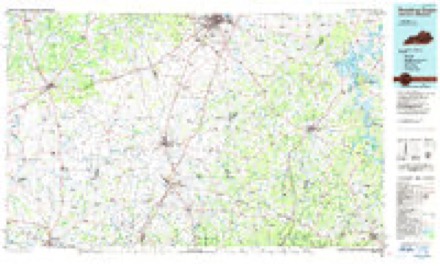
Topographic sheets covering this place
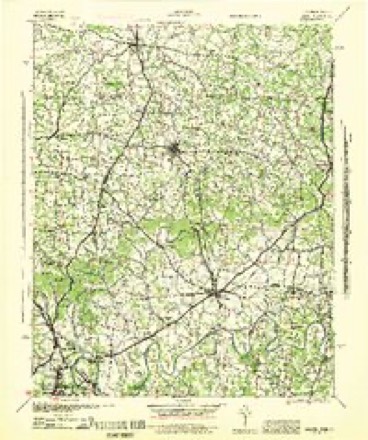
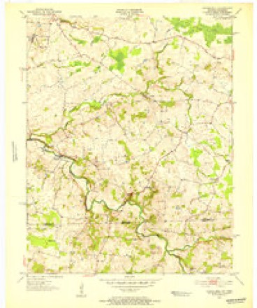
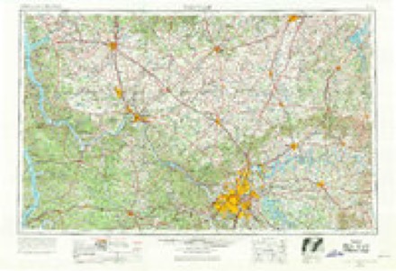
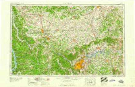
5 surveys from 9 printed sheetsMatched by testing this settlement's coordinate against the published boundary of every sheet in the United States Geological Survey's historical collection. Each opens the scanned sheet at the Survey.
- 1942 USGS Gallatin quadrangle1:100000
- 1951 USGS Prices Mill quadrangle1:24000, 2 printings
- 1956 USGS Nashville quadrangle1:250000, 2 printings
- 1959 USGS Nashville quadrangle1:250000
- 1985 USGS Bowling Green quadrangle1:100000, 3 printings
Fires near this place
1 since 1999Regional context, not property-specific evidence. The federal wildfire occurrence database lists 1 fire within 5 miles of Prices Mill in 1999, burning about 6 acres in total. None started naturally. 1 was recorded as arson. Distance is straight-line from the map coordinates, so a fire counted here may appear on a neighbouring settlement's page as well.
| Reported cause | Fires |
|---|---|
| Arson/incendiarism | 1 |
The most recent of them, most recent first, with the day each was reported and the service that recorded it.
| Date | Cause | Size | Reported by | Name on the report |
|---|---|---|---|---|
| 3 December 1999 | Arson/incendiarism | 6.0 acres | Tennessee Division of Forestry | not named |
Settlements close enough to share some of these fires:
Storms near this place
4 since 2013Regional context, not property-specific evidence. The National Weather Service names Prices Mill in 4 storm reports between 2013 and 2025: 2 tornado, 1 thunderstorm wind, 1 flash flood. No death or injury is recorded in these reports. Each account below is quoted exactly as the forecast office filed it, from the NOAA Storm Events Database, and each date opens the federal record of that event.
| When | Event | Place named | Harm | What the report says |
|---|---|---|---|---|
| June 2013 | Tornado (EF1) | Prices Mill | $2,000 | A strong, long tracked tornado, which first touched down in Logan County, continued in Simpson County. The complete track of this twister was just over 14 miles, with the last 4.8 miles in Simpson County. Earlier, EF-2 damage was surveyed in Logan County, but, by the time it crossed into Simpson County near the intersection of Conn and Reames-Dixon roads, it had weakened to an EF-1. Several outbuildings and trees were damaged in Simpson County before the tornado lifted along Russelville-Gallatin Road. Overall, 5 homes in both Logan and Simpson Counties sustained extensive damage, with two other residences suffering minor damage. Five grain bins were destroyed. |
| February 2025 | Tornado (EF1) | Prices Mill | - | The National Weather Service in Louisville confirmed an|EF1 tornado in Simpson County, approximately 6 miles west of|Franklin.||The tornado touched down on a large farm at 2495 Neosheo|Prices Mill Road, destroying an older garage. Sheet metal from|the garage was thrown in the trees and wrapped around branches|near the farmhouse. More metal sheeting was thrown several|hundred yards from the north northeast to the easterly direction.|Some cardboard boxes and lawn furniture near the destroyed|garage did not move. Winds were 90 mph, EF1, with a width of|75 yards. There was very sporadic tree damage along Neosheo|Prices Mill Road.||Near the intersection of Sulphur Spring Church Road and Forshee |Road there were three barns with substantial roof damage. The |largest barn, approximately 50 feet by 70 feet, had its wood |anchors lifted out and pushed to the north northwest. All the |metal sheeting from the three barns was thrown from a few hundred |yards, to as far away as one quarter of a mile to the east |northeast, wrapping around fences and trees. Winds were 90 mph, EF1,|with a width of 120 yards.||There were dozens of topped trees along Sulphur Spring Creek and Neosheo|Road. Winds were 87 mph, EF1, with a width of 100 yards. Drone |photography showed trees damaged off to the east along farm land.||The most substantial damage was at 1600 Harris School Road where a horse|arena at Sundown Stables was thrown into a large barn housing the|horses. The barn took considerable side and structural roofing|damage. Some of the boards and other debris hit a concrete house|where relatives were staying. Fortunately no people or farm|animals were injured. Surprisingly, there was less tree damage|near the barn and house. Winds were 90 mph, EF1, with a width of|90 yards. The tornado lifted about 100 yards east of Harris|School Road. |
| June 2023 | Flash Flood | Prices Mill | - | There was a vehicle stranded in flash flood waters. |
| June 2020 | Thunderstorm Wind | Prices Mill | - | Dispatch reported a tree down near Prices Mill. |
Nearest settlements
The eight closest, with where each one stands in the county. Distances are straight-line, computed from the Geographic Names Information System coordinates.
| Map | Place | Distance | Sheets |
|---|---|---|---|
| Providence | 3.0 miles | 9 | |
| Neosheo | 3.4 miles | 9 | |
| Middleton | 4.8 miles | 9 | |
| Schweizer | 5.1 miles | 9 | |
| Bethel Grove (historical) | 6.0 miles | 9 | |
| Locust Grove (historical) | 6.7 miles | 9 | |
| Turnertown | 7.6 miles | 9 | |
| Lake Spring (historical) | 7.7 miles | 13 |
Elsewhere
Matched on this settlement's Geographic Names Information System number rather than its name, so it cannot be a different place of the same name in another state.
| Wikipedia article on Prices Mill | An encyclopaedic summary. Its text is share-alike, so it is linked here rather than copied. |
| Wikidata item Q7242658 | The structured record the population and elevation above come from. Public domain (CC0). |
Provenance
This settlement is recorded in the Geographic Names Information System as feature 501328. The sheet list is computed by point-in-boundary test against the United States Geological Survey's historical topographic inventory. Both are works of the United States government and carry no copyright under 17 U.S.C. 105.
Wildfire. Short, Karen C. 2022. Spatial wildfire occurrence data for the United States, 1992-2020 [FPA_FOD_20221014]. 6th Edition. Fort Collins, CO: Forest Service Research Data Archive. https://doi.org/10.2737/RDS-2013-0009.6 Collected with United States Government funding and usable without additional permissions or fees.
Storms. NOAA National Centers for Environmental Information, Storm Events Database https://www.ncei.noaa.gov/stormevents/ A work of the United States government, no copyright under 17 U.S.C. 105. Narratives are quoted verbatim from the National Weather Service report and are not edited or summarised.