 Block
From the record
14 National Register listings published here.
Sources: the National Register database, National Park Service
34 topographic sheets and 8 fire insurance atlases across 1 place.
14 National Register listings published here.
Sources: the National Register database, National Park Service
Taken for the Office of War Information and the Farm Security Administration, who photographed the country between 1935 and 1944. Works of United States government photographers, with no known restriction on use. Each opens its catalogue record.



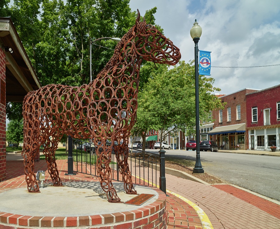


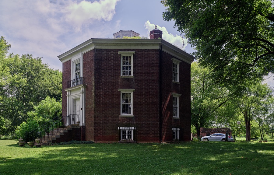


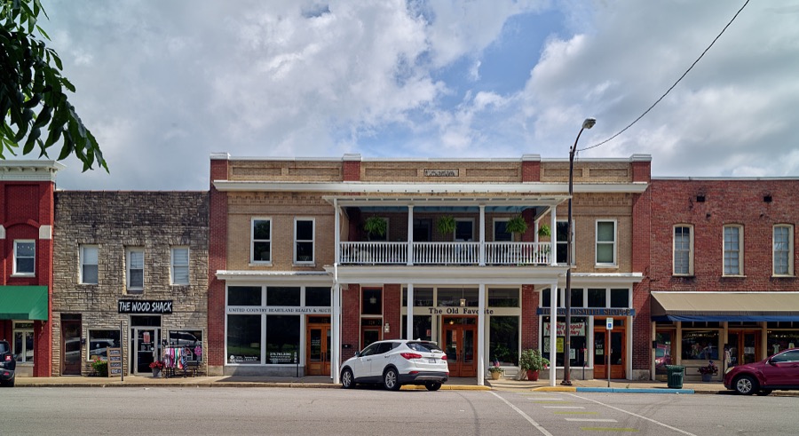

Every property in this county listed on the National Register of Historic Places, with the year it was listed and the federal nomination document.
| Photograph | Property | Type | Listed | Reference |
|---|---|---|---|---|
 | Cedars, The | district | 1996 | 95001516 |
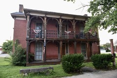 | Duncan House | building | 1982 | 82001576 |
 | Franklin Downtown Commercial District | district | 1983 | 83002873 |
 | Franklin Downtown Commercial District (Boundary Increase) | district | 1983 | 83002874 |
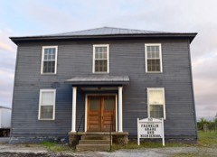 | Franklin Grade and High School | building | 2010 | 09001312 |
 | Goodnight House | building | 1977 | 77000647 |
| Hampton Hall | district | 1996 | 95001519 | |
 | Hargis House | building | 1996 | 95001518 |
| Harristown Historic District | district | 1996 | 95001515 | |
 | Randolph Gilbert Moore House | building | 1996 | 95001517 |
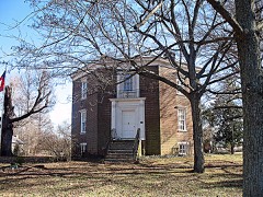 | Octagon Hall | building | 1980 | 80001667 |
| Simpson County Courthouse | building | 1980 | 80001668 | |
| Triple Pine Farm | site | 1996 | 95001520 | |
| West Cedar Street Historic District | district | 1996 | 95001514 |
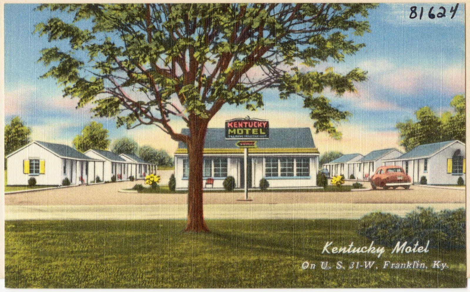
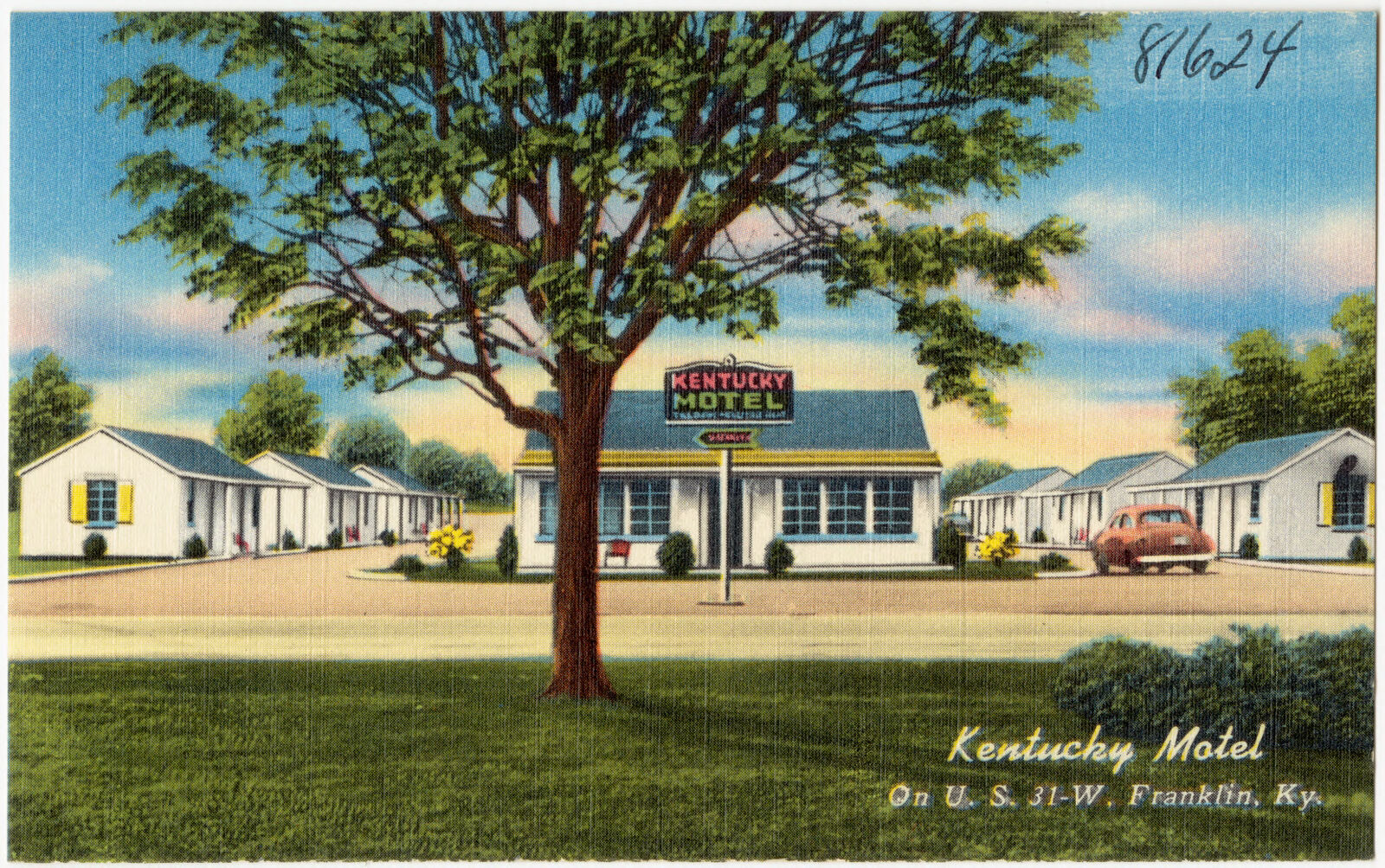
Selected from the Digital Public Library of America's 2 image records catalogued for this county. Every one shown here carries a public-domain status or a licence that permits reuse on a site that carries advertising; non-commercial, share-alike and restricted images are excluded. The selection is spread across the county's towns (at most eight per town), so no single institution's bulk upload crowds out the rest. Each opens the holding library's record, and the complete set at the Digital Public Library of America is one click away.
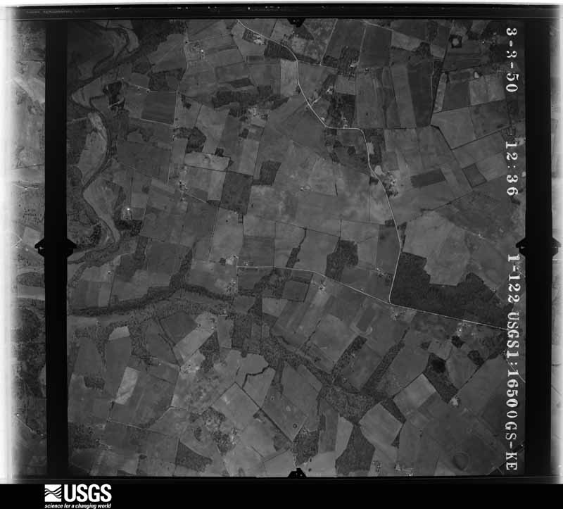
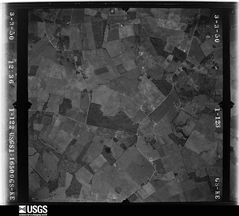
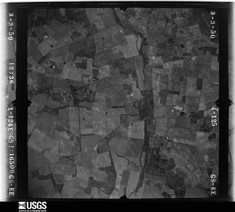
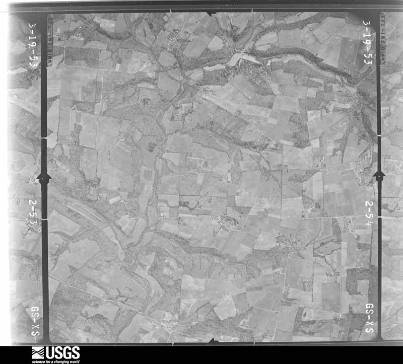
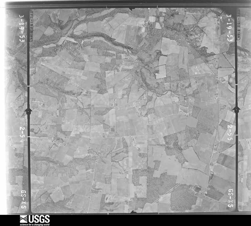
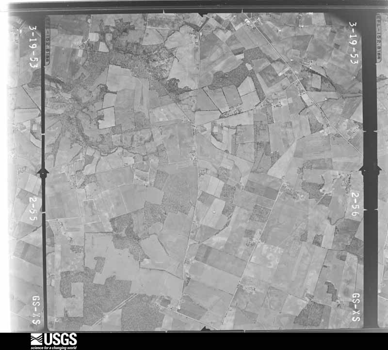
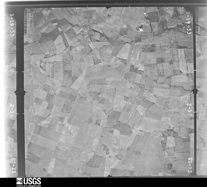
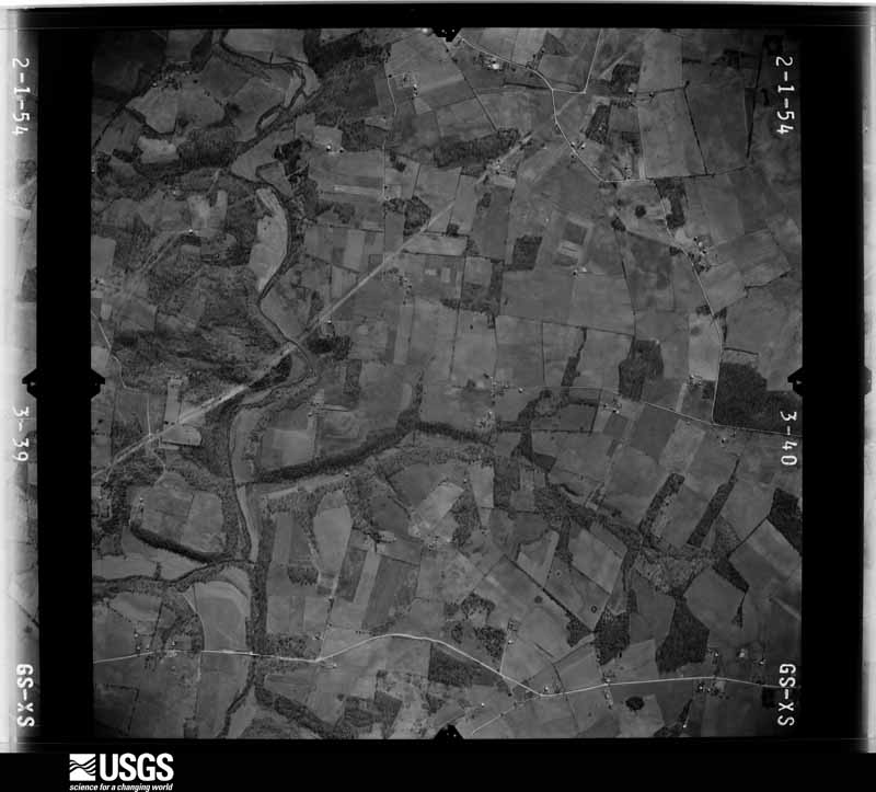
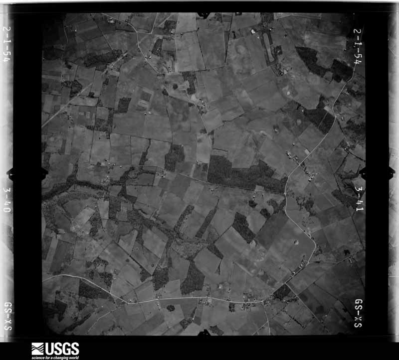
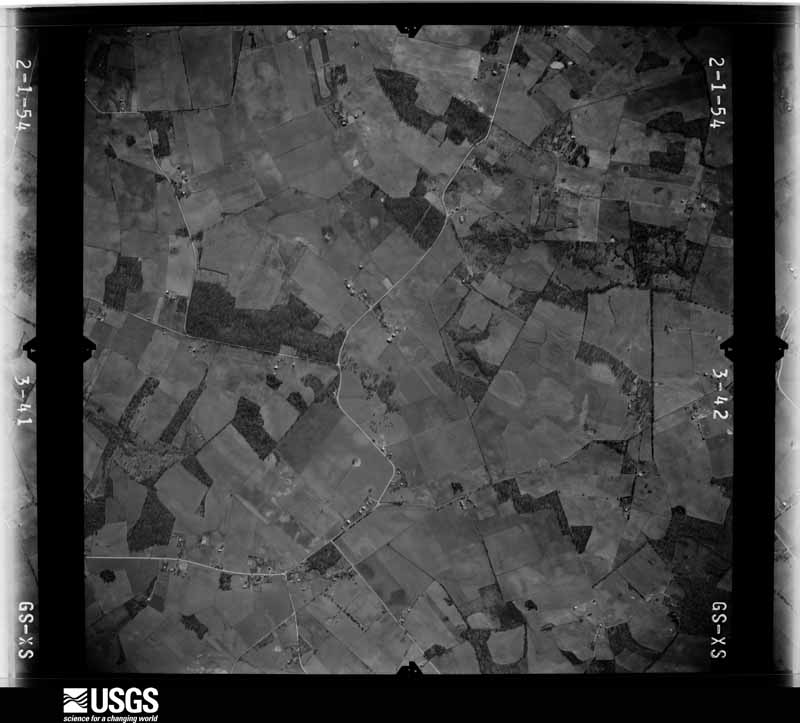
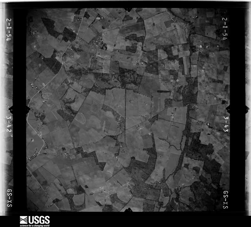
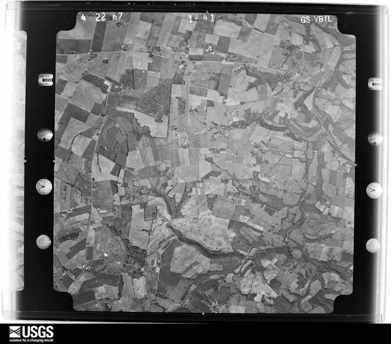
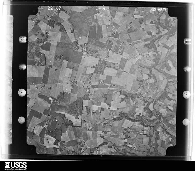
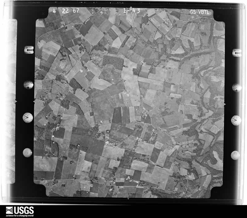
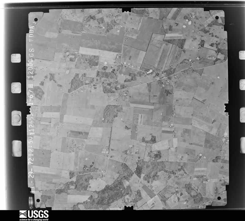
Flown by the U.S. Geological Survey between 1937 and 1989, the Aerial Photo Single Frames collection is the definitive mid-century view of the land: fields, roads and rivers as the camera saw them. The Survey holds 504 frames inside the rectangle that bounds this county; the 18 frames below were taken over the county itself, chosen across the decades of flights (at most four a year from that rectangle), so one flight cannot crowd out the rest. The full set is free to browse and download at EarthExplorer under the dataset Aerial Photo Single Frames.



The thermometers that kept this county's weather, and the gages that measured the flow of its streams, as the federal records hold them. The extremes below are measured values from those records, not estimates.
Who lived here in 1950, one enumeration district at a time, as the Census Bureau described each district. Each row opens its official National Archives result, with Population Schedules and ED Maps available there.
Every wildfire the federal occurrence database records inside this county: 10 of them, burning about 73 acres. None started naturally and none was recorded as arson. Each settlement page carries the fires within five miles of it.
| Reported cause | Fires |
|---|---|
| Missing data/not specified/undetermined | 5 |
| Recreation and ceremony | 3 |
| Equipment and vehicle use | 1 |
| Debris and open burning | 1 |
The five largest, by the area the report gives. None of them was recorded as arson.
| Date | Cause | Size | Reported by | Name on the report |
|---|---|---|---|---|
| 13 October 2007 | Missing data/not specified/undetermined | 30 acres | Kentucky Division of Forestry | not named |
| 18 March 2010 | Recreation and ceremony | 21 acres | Kentucky Division of Forestry | not named |
| 2 October 2019 | Equipment and vehicle use | 8.0 acres | Kentucky Division of Forestry | HARDISON ROAD |
| 12 November 2005 | Missing data/not specified/undetermined | 6.0 acres | Kentucky Division of Forestry | not named |
| 9 March 2007 | Recreation and ceremony | 2.0 acres | Kentucky Division of Forestry | not named |
| 9 April 2007 | Missing data/not specified/undetermined | 2.0 acres | Kentucky Division of Forestry | not named |
| 25 November 2012 | Recreation and ceremony | 1.0 acres | Kentucky Division of Forestry | WILL PAYNE |
| 17 April 2007 | Missing data/not specified/undetermined | 1.0 acres | Kentucky Division of Forestry | not named |
Every settlement page carries the fires within five miles of it - see the settlement index below.
The NOAA Storm Events Database holds 258 reports for this county, causing 5 deaths, 25 injuries and about $9,208,500 in recorded property damage. Each settlement page carries the reports that name it.
| Kind of event | Reports |
|---|---|
| Thunderstorm Wind | 151 |
| Flash Flood | 53 |
| Hail | 26 |
| Tornado | 17 |
| Flood | 9 |
| Lightning | 2 |
The most serious of them, by death, then injury, then recorded damage. The accounts are quoted exactly as the forecast office filed them.
| When | Event | Place named | Harm | What the report says |
|---|---|---|---|---|
| April 1974 | Tornado (F3) | not stated | 1 killed, 12 hurt, $2,500,000 | no account filed |
| February 2018 | Flood | Flat Rock | 1 killed, $30,000 | A man drowned in a submerged vehicle near Flat Bridge on Kenny Perry Drive. High water covered the road and the bridge was closed. The man went around the barricades blocking the road. His car was found downstream. |
| March 2019 | Flood | Schweizer | 1 killed, $5,000 | At approximately 9:00 pm CST on March 4, a male driver drove around a barricade before driving his car into standing water over the roadway. He called his girlfriend frantically stating he was in a river. That was the last anyone heard from him. His cell phone last pinged at 9:00 pm CST at a location just west of Interstate 65 north of the Tennessee border. The air temperature at the time was 19 degrees Fahrenheit.||His vehicle was found the next morning, and his body was found on Thursday March 7 a short distance from where his vehicle was found. |
| April 2022 | Flood | Hillsdale | 1 killed | At approximately 7:55 PM CDT, Kentucky State Police received a call from a 41 year old male. He stated he was trying to drive over Saddler Ford Bridge, but his 2013 Ford pick-up was being swept off the bridge. The emergency manager later stated that the driver disregarded warning signs and barricades that were set up before the bridge warning drivers of the flowing water over the bridge. The man's body was found around a mile downstream the following day. |
| May 2009 | Flood | Franklin | 1 killed | A 49-year old male drove a pickup truck around barriers and attempted to cross Dittmore Ford over Drakes Creek, which was covered by four to five feet of water. He called 911 from his cell phone, but drowned in his vehicle. |
| May 2015 | Thunderstorm Wind | Franklin | 6 hurt, $1,000 | A report was received by the public of a tree down at the Simpson County courthouse during a Relay for Life event. Six people experienced minor injuries and the nearby Kentucky Mesonet site measured a 54 mph wind gust. |
| September 2013 | Lightning | Franklin | 5 hurt, $15,000 | Broadcast media reported 5 injuries from a lightning strike that ended the afternoon racing card at the Kentucky Downs racetrack. Lightning hit a tin pole and traveled down to the ground, shocking 5 people sheltering within a tent. One was transported to a hospital. The racing board was shorted out with racing cancelled for the rest of the afternoon. |
| May 1989 | Tornado (F1) | not stated | 1 hurt, $250,000 | no account filed |
| January 1989 | Thunderstorm Wind | not stated | 1 hurt | no account filed |
| May 1989 | Tornado (F2) | not stated | $2,500,000 | no account filed |
| May 1971 | Tornado (F2) | not stated | $2,500,000 | no account filed |
| May 1989 | Tornado (F1) | not stated | $250,000 | no account filed |
| January 2010 | Thunderstorm Wind | Franklin Whak Arpt | $100,000 | Three houses were damaged in the 800 block of West Cedar. The roof was blown off one, while the other two sustained shingle damage. Several businesses had minor damage in the 500 block of West Madison, and an old warehouse building was destroyed in the 10000 block of West Cedar. |
| November 2005 | Tornado (F2) | Turnertown | $100,000 | A supercell thunderstorm developed over northern Tennessee and moved into south central Kentucky during the early evening hours of November 15. It produced multiple, short-lived tornado touchdowns along its path, which stretched for nearly 25 miles across three counties. The second touchdown from this supercell was in Simpson County near Pilot Knob. The weak F2 tornado damaged trailers and downed many trees along a path of roughly a mile. |
| June 2019 | Thunderstorm Wind | Neosheo | $75,000 | Several Trees were down across the county along with 4 broken power poles on WRECC lines. |
| March 2017 | Thunderstorm Wind | Flat Rock | $75,000 | The Simpson County emergency manager reported power outages to the city of Franklin. Power lines and poles were down. |
| January 2012 | Tornado (EF0) | Hickory Flat | $75,000 | This long tracked EF-2 tornado had a path length of over 8 miles, touching down in Simpson County and continuing through a portion of Allen County. The twister moved from west to east, traveling 3 miles in Simpson County and 5 1/4 miles in Allen County. This tornado touched down near Hickory Flat Road just south of its intersection with Hickory Flat-Rapids Road. A dozen trees were uprooted near its touchdown. The most significant damage occurred near the intersection of McKendree Church Road and Highway 100 where a well constructed brick house completely lost its roof. Multiple barns, garages, and outbuildings were destroyed here as well. Nearby, a complete roof of one outbuilding was thrown one half mile to the east. Other significant damage was surveyed at the intersection of Highway 100 and Reeder School Road near the Simpson Allen County line. One house had severe roof damage and an exterior wall blown out. A jeep in the driveway was blown into the house. A camper was blown from the driveway across the road with other debris scattered through the field beyond. |
| July 2012 | Thunderstorm Wind | Rapids | $75,000 | Two large grain bins were damaged near the intersection of Rapids and Hickory Flat Roads. Several trees also fell in the area, one damaged a mobile home. |
| May 1995 | Hail | Pilot Knob | $75,000 | no account filed |
| March 2019 | Thunderstorm Wind | Flat Rock | $50,000 | There was structural and tree damage reported along Cal Harris and Lake Springs Roads. |
| June 2019 | Thunderstorm Wind | Hillsdale | $50,000 | Social media reported that a roof had been blown off a home on Blackjack Road near Whiteside Ford Road. |
| February 2018 | Tornado (EF0) | Schweizer | $50,000 | The National Weather Service conducted a storm survey across Simpson County. The tornado began just southwest of Lake Spring Road where a couple of trees were snapped or uprooted and a large 24 x 36 barn experienced extensive roof panel damage. Maximum winds were estimated at 80 mph with a width between 75 and 100 yards.||The tornado contnued to cross farmland before striking another barn near the 31W intersection. The tornado threw metal sheeting from the barn in various directions with much of it suspended up in the trees. There were a couple twisted trees on both sides of Highway 31W. Maximum winds at this location were 75 mph with a width of 75 yards. The tornado lifted on the northeast side of the highway. |
| March 2017 | Thunderstorm Wind | Flat Rock | $50,000 | The Simpson County emergency manager reported multiple power poles down along Tyree Chapel Road at Hendricks Road. |
| June 1994 | Thunderstorm Wind | Franklin | $50,000 | Trees and power lines were blown down in Franklin and surrounding area. |
| March 2017 | Thunderstorm Wind | Flat Rock | $45,000 | The Simpson County Emergency Manager reported multiple power poles down around Tyree Chapel Road at Hendricks Road. |
| March 2012 | Thunderstorm Wind | Salmon | $40,000 | Scattered wind and hail damage was surveyed along the path of a supercell that traveled from north of Franklin to the county line just south of Alvaton. It brought widespread hail that damaged siding and destroyed a tool barn on Evans Road. Many hard and softwood tree damage was noted along the damage path. |
| July 2016 | Thunderstorm Wind | Franklin | $35,000 | State officials reported trees down on a truck and house at 421 Hendricks Street. |
| June 2023 | Lightning | Rapids | $30,000 | Lightning started a barn fire. Damage cost unknown. |
| April 2008 | Thunderstorm Wind | Stowers | $25,000 | A couple of barns blown were down and a roof damaged southeast of Shakertown in Northern Simpson County. One barn was on Hardison Road 1/2 mile south of the Warren/Logan/Simpson County line. |
| July 1973 | Tornado (F1) | not stated | $25,000 | no account filed |
| May 1965 | Tornado (F2) | not stated | $25,000 | no account filed |
| June 2019 | Thunderstorm Wind | Franklin | $15,000 | Multiple trees and power lines came down around Franklin, KY. |
| February 2025 | Flash Flood | Franklin Whak Arpt | $10,000 | A vehicle was stuck sideways in water at Hatter and Russellville Roads. Fire and law enforcement responded to the scene. |
| March 2019 | Thunderstorm Wind | Franklin | $10,000 | The emergency manager reported siding had been stripped off of a garage and blown in to a nearby field. |
| June 2019 | Tornado (EF1) | Hillsdale | $10,000 | Brief EF1 tornado touched down near I-65. The survey crew found a mixture of straight line winds and a small area of a tornado embedded within. The tornado hit the Salem Rd area hard with extensive tree damage. A wheat field had distinct circulations quite visible. |
| June 2015 | Hail | Geddes | $10,000 | The public reported hail 1.5 inches in diameter at a truckstop at exit 2 on Interstate 65. |
| July 2015 | Flash Flood | Franklin | $10,000 | A law enforcement official reported that a water rescue from a flooded car occurred. |
| August 2012 | Thunderstorm Wind | Geddes | $10,000 | Thunderstorms removed a portion of a resident's roof. She mentioned that several trees were toppled in her yard. |
| November 2000 | Thunderstorm Wind | Franklin | $10,000 | no account filed |
| May 2005 | Thunderstorm Wind | Franklin | $5,000 | There was unspecified structural damage to a mobile home. |
| November 2005 | Thunderstorm Wind | Franklin | $5,000 | A carport was blown down. Trees and power lines were downed. |
| January 1999 | Thunderstorm Wind | Franklin | $3,000 | Porches blown off homes, water tower barn blown down, several trees and power lines down |
| July 1972 | Tornado (F1) | not stated | $2,500 | no account filed |
| December 2013 | Thunderstorm Wind | Franklin | $2,000 | The Simpson County emergency manager reported several trees down in Franklin, including one that blocked Gold City Road. A storm front window was broken on Main Street. Power outages were reported as well. |
| June 2013 | Tornado (EF1) | Prices Mill | $2,000 | A strong, long tracked tornado, which first touched down in Logan County, continued in Simpson County. The complete track of this twister was just over 14 miles, with the last 4.8 miles in Simpson County. Earlier, EF-2 damage was surveyed in Logan County, but, by the time it crossed into Simpson County near the intersection of Conn and Reames-Dixon roads, it had weakened to an EF-1. Several outbuildings and trees were damaged in Simpson County before the tornado lifted along Russelville-Gallatin Road. Overall, 5 homes in both Logan and Simpson Counties sustained extensive damage, with two other residences suffering minor damage. Five grain bins were destroyed. |
| June 2012 | Thunderstorm Wind | Franklin | $1,000 | The Simpson County emergency manager reported a fallen tree that downed a power line in Franklin on Pepper Street. |
| June 2012 | Thunderstorm Wind | Franklin | $1,000 | Local broadcast media reported two trees down. Some shingles were blown off the roof of a resident near the intersection of Highway 31 and Patton Road. |
| May 1995 | Hail | not stated | $1,000 | no account filed |
| April 2026 | Flash Flood | Franklin | - | North College Street was impassable due to high water. |
| April 2026 | Thunderstorm Wind | Franklin | - | A very large tree was down over the 900 block of Rapids Road. |
| April 2026 | Thunderstorm Wind | Flat Rock | - | A tree was down at the intersection of Rapids Road and Grace Road. |
| April 2026 | Thunderstorm Wind | Salmon | - | A large tree was down over the 3000 block of Sportsman Lake Road. |
| May 2025 | Thunderstorm Wind | Franklin | - | A large tree limb was blown down behind a home in Franklin. |
| June 2025 | Flash Flood | Hickory Flat | - | A vehicle was trapped in flood waters, with water rising to around the height of the car's bumper. |
| June 2025 | Flash Flood | Rapids | - | Flash flooding was observed along Rapids Road and Hickory Flat Rapids Road. |
| June 2025 | Flash Flood | Black Jack | - | Gold City Road flooded just past Loving Chapel Road. |
| June 2025 | Flash Flood | Temperance | - | Gold City Road bridge was flooded over the Middle Fork of Drakes Creek. |
| April 2025 | Thunderstorm Wind | Black Jack | - | A tree snapped in half at an unknown location in Simpson County. |
| February 2025 | Flash Flood | Franklin | - | Flood waters submerged portions of US Route 31W on the north side of Franklin. |
| February 2025 | Tornado (EF1) | Prices Mill | - | The National Weather Service in Louisville confirmed an|EF1 tornado in Simpson County, approximately 6 miles west of|Franklin.||The tornado touched down on a large farm at 2495 Neosheo|Prices Mill Road, destroying an older garage. Sheet metal from|the garage was thrown in the trees and wrapped around branches|near the farmhouse. More metal sheeting was thrown several|hundred yards from the north northeast to the easterly direction.|Some cardboard boxes and lawn furniture near the destroyed|garage did not move. Winds were 90 mph, EF1, with a width of|75 yards. There was very sporadic tree damage along Neosheo|Prices Mill Road.||Near the intersection of Sulphur Spring Church Road and Forshee |Road there were three barns with substantial roof damage. The |largest barn, approximately 50 feet by 70 feet, had its wood |anchors lifted out and pushed to the north northwest. All the |metal sheeting from the three barns was thrown from a few hundred |yards, to as far away as one quarter of a mile to the east |northeast, wrapping around fences and trees. Winds were 90 mph, EF1,|with a width of 120 yards.||There were dozens of topped trees along Sulphur Spring Creek and Neosheo|Road. Winds were 87 mph, EF1, with a width of 100 yards. Drone |photography showed trees damaged off to the east along farm land.||The most substantial damage was at 1600 Harris School Road where a horse|arena at Sundown Stables was thrown into a large barn housing the|horses. The barn took considerable side and structural roofing|damage. Some of the boards and other debris hit a concrete house|where relatives were staying. Fortunately no people or farm|animals were injured. Surprisingly, there was less tree damage|near the barn and house. Winds were 90 mph, EF1, with a width of|90 yards. The tornado lifted about 100 yards east of Harris|School Road. |
The Survey's mineral resources record lists 1 working inside this county. It still produces. Each settlement page carries the workings within five miles of it.
| Commodity | Workings |
|---|---|
| Stone, Crushed/Broken | 1 |
The least common of them first, because a county's hundredth gravel pit says nothing its first ten did not.
| Where | Site | Commodity | Status | Recorded |
|---|---|---|---|---|
| Franklin Quarry | Stone, Crushed/Broken | Producer |
Named settlements recorded in the Geographic Names Information System, each with the topographic sheets covering it. Villages, hamlets and abandoned places alike. Each is shown with the nearest named watercourse or landform and the survey quadrangle it falls on. The 1 place that was also surveyed for fire insurance comes first, with the number of atlases and photographs held for them.
Franklin census division · 42134 · Franklin quadrangle
13 sheets, 1942 to 1985
Fire insurance: 8 atlases
Franklin census division · 42206 · Auburn quadrangle
9 sheets, 1951 to 1985
No longer a settlement
Franklin census division · 42134 · Auburn quadrangle
9 sheets, 1951 to 1985
No longer a settlement
Franklin census division · 42134 · Franklin quadrangle
13 sheets, 1942 to 1985
No longer a settlement
Franklin census division · 42134 · On Sharps Branch · Franklin quadrangle
13 sheets, 1942 to 1985
Franklin census division · 42134 · On Jakes Branch · Drake quadrangle
14 sheets, 1921 to 1985
East Simpson census division · 42134 · Hickory Flat quadrangle
12 sheets, 1928 to 1985
No longer a settlement
Franklin census division · 42206 · Near Pilot Knob · Auburn quadrangle
9 sheets, 1951 to 1985
No longer a settlement
Franklin census division · 42134 · Franklin quadrangle
13 sheets, 1942 to 1985
No longer a settlement
Franklin census division · 42134 · On Spring Creek · Auburn quadrangle
9 sheets, 1951 to 1985
No longer a settlement
Franklin census division · 42134 · On Spring Creek · Auburn quadrangle
9 sheets, 1951 to 1985
Franklin census division · 42134 · On Neely Branch · Prices Mill quadrangle
9 sheets, 1942 to 1985
Franklin census division · 42134 · Near Prospect Hill · Auburn quadrangle
9 sheets, 1951 to 1985
No longer a settlement
Franklin census division · 42134 · Franklin quadrangle
13 sheets, 1942 to 1985
No longer a settlement
Franklin census division · 42134 · Woodburn quadrangle
9 sheets, 1951 to 1985
No longer a settlement
Franklin census division · 42134 · On Lick Creek · Woodburn quadrangle
9 sheets, 1951 to 1985
No longer a settlement
East Simpson census division · 42134 · On Dry Branch · Franklin quadrangle
13 sheets, 1942 to 1985
Franklin census division · 42134 · On Sulphur Spring Creek · Prices Mill quadrangle
9 sheets, 1942 to 1985
Franklin census division · 42134 · On Prospect Hill · Auburn quadrangle
9 sheets, 1951 to 1985
No longer a settlement
East Simpson census division · 42134 · Hickory Flat quadrangle
12 sheets, 1928 to 1985
No longer a settlement
Franklin census division · 42134 · On Sinking Creek · Woodburn quadrangle
9 sheets, 1951 to 1985
No longer a settlement
Franklin census division · 42134 · Woodburn quadrangle
9 sheets, 1951 to 1985
No longer a settlement
The vanished settlements of Simpson County: the places named above that are no longer on the map.
13 topographic sheets and 8 fire insurance atlases, 1886 to 1940