 Block
Priceville, Kentucky
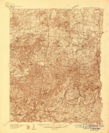
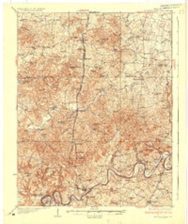
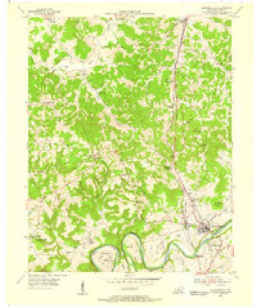
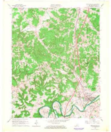
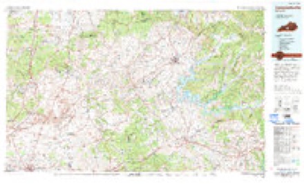
11 topographic sheets cover this place, the earliest surveyed in 1934 and the latest in 1986. It stands in the Bonnieville census division. It lies in ZIP code area 42765. The Survey maps it on the Munfordville quadrangle.
Topographic sheets covering this place
7 surveys from 11 printed sheetsMatched by testing this settlement's coordinate against the published boundary of every sheet in the United States Geological Survey's historical collection. Each opens the scanned sheet at the Survey.
- 1934 USGS Munfordville quadrangle1:48000
- 1937 USGS Munfordville quadrangle1:62500
- 1953 USGS Munfordville quadrangle1:24000, 2 printings
- 1957 USGS Winchester quadrangle1:250000, 3 printings
- 1960 USGS Winchester quadrangle1:250000
- 1966 USGS Munfordville quadrangle1:24000
- 1986 USGS Campbellsville quadrangle1:100000, 2 printings


Fires near this place
23 since 1998Regional context, not property-specific evidence. The federal wildfire occurrence database lists 23 fires within 5 miles of Priceville between 1998 and 2015, burning about 69 acres in total. None started naturally. None was recorded as arson. Distance is straight-line from the map coordinates, so a fire counted here may appear on a neighbouring settlement's page as well.
| Reported cause | Fires |
|---|---|
| Recreation and ceremony | 11 |
| Debris and open burning | 6 |
| Missing data/not specified/undetermined | 4 |
| Railroad operations and maintenance | 1 |
| Smoking | 1 |
The most recent of them, most recent first, with the day each was reported and the service that recorded it.
| Date | Cause | Size | Reported by | Name on the report |
|---|---|---|---|---|
| 9 September 1999 | Smoking | 10 acres | Kentucky Division of Forestry | not named |
| 17 August 2007 | Recreation and ceremony | 1.0 acres | Kentucky Division of Forestry | not named |
| 11 August 2005 | Missing data/not specified/undetermined | 1.0 acres | Kentucky Division of Forestry | not named |
| 6 April 2000 | Debris and open burning | 10 acres | Kentucky Division of Forestry | not named |
| 12 April 2014 | Debris and open burning | 5.0 acres | Kentucky Division of Forestry | PLEASANT HILL CHURCH |
| 31 March 2015 | Debris and open burning | under an acre | Kentucky Division of Forestry | ROCKY HILL RD. |
| 26 March 2007 | Recreation and ceremony | 1.0 acres | Kentucky Division of Forestry | not named |
| 24 March 2009 | Recreation and ceremony | 1.0 acres | Kentucky Division of Forestry | not named |
Settlements close enough to share some of these fires:
Mines and quarries near this place
2 within 5 milesRegional context, not property-specific evidence. The federal mineral resources record lists 2 workings within 5 miles of Priceville: 2 prospects. None of them still produces. What was taken out: Fire Clay (Refractory). Distance is straight-line from the map coordinates, so a quarry counted here may appear on a neighbouring settlement's page as well.
| Where | Site | Commodity | Status | Recorded |
|---|---|---|---|---|
| Childress Clay Pit | Fire Clay (Refractory) | Prospect | ||
| Murray Clay Pit | Fire Clay (Refractory) | Prospect |
Storms near this place
23 since 2000Regional context, not property-specific evidence. The National Weather Service names Priceville in 23 storm reports between 2000 and 2025: 10 thunderstorm wind, 8 hail, 2 tornado, 2 flash flood. No death or injury is recorded in these reports. Each account below is quoted exactly as the forecast office filed it, from the NOAA Storm Events Database, and each date opens the federal record of that event.
| When | Event | Place named | Harm | What the report says |
|---|---|---|---|---|
| February 2008 | Thunderstorm Wind | Priceville | $100,000 | Thunderstorm winds destroyed two barns near 9758 Highway 1140. |
| July 2012 | Thunderstorm Wind | Priceville | $25,000 | A spotter reported a barn with significant structural damage at 728 Priceville Road. A nearby outbuilding was flattened. Quite a few trees were toppled in the area. |
| August 2011 | Lightning | Priceville | $4,000 | A tree along Kentucky Highway 728 in Priceville was struck by lightning and toppled onto a mobile home, damaging a door and some windows. |
| December 2013 | Thunderstorm Wind | Priceville | $2,000 | The Priceville law enforcement reported that thunderstorms winds removed a barn's roof. Numerous trees were downed across the county. |
| June 2025 | Thunderstorm Wind | Priceville | - | A tree was blown down near the intersection of Mud Branch Road and Priceville Road, blocking one lane of traffic. |
| July 2024 | Flash Flood | Priceville | - | A vehicle had to be rescued along Raider Hollow Road. The vehicle was not on the road at the time of the rescue, but had fallen into a water-filled ditch along the side of the road. |
| February 2023 | Flash Flood | Priceville | - | Raider Hollow Road had to be closed due to flooding. |
| January 2022 | Tornado (EF0) | Priceville | - | NWS Storm Survey Teams found EF-0 tornado damage across northern Hart County. A barn along E Sullivan Rd was damaged where some of the roofing was found 400 yards away. The weak tornado was very elevated and next hit power lines on the east side of the road. The most significant damage was to a 100 x 50ft barn with damage thrown 200-250 yards back to the southwest. The barn foundation moved 18 inches to the east. A 2 x 4 from the barn was thrown 60 yards to the north-northwest and was impaled into the 2nd story of an adjacent house. There was very minor tree damage as much of the tornado was highly elevated. The tornado lifted in a field just northeast of this residence. |
| May 2022 | Thunderstorm Wind | Priceville | - | Hart County dispatch reported trees down along the 9700 block of Raider Hollow Road. |
| April 2011 | Hail | Priceville | - | A trained spotter reported 1 to 1.5 inch hail. |
| April 2011 | Hail | Priceville | - | In addition to the hail wind gusts were estimated to be 60 mph. |
| July 2011 | Thunderstorm Wind | Priceville | - | Law enforcement reported that trees were downed countywide. |
| July 2004 | Thunderstorm Wind | Priceville | - | Trees were blown down. A spotter estimated a 75 mph wind gust. |
| May 2003 | Thunderstorm Wind | Priceville | - | Trees were downed. |
| May 2003 | Hail | Priceville | - | Large hail up to quarter size covered the ground. |
| May 2000 | Tornado (F0) | Priceville | - | The path length and width, along with the intensity are estimates, since no damage was reported with the touchdown. |
| April 2011 | Hail | Priceville | - | no account filed |
| April 2007 | Hail | Priceville | - | no account filed |
| April 2007 | Hail | Priceville | - | no account filed |
| March 2006 | Thunderstorm Wind | Priceville | - | no account filed |
| November 2005 | Thunderstorm Wind | Priceville | - | no account filed |
| August 2002 | Hail | Priceville | - | no account filed |
| May 2000 | Hail | Priceville | - | no account filed |
Nearest settlements
The eight closest, with where each one stands in the county. Distances are straight-line, computed from the Geographic Names Information System coordinates.
| Map | Place | Distance | Sheets |
|---|---|---|---|
| Riders Mill | 2.6 miles | 12 | |
| Lone Star | 3.0 miles | 12 | |
| Lines Mill | 3.1 miles | 13 | |
| Macon | 3.5 miles | 13 | |
| Bonnieville | 4.5 miles | 12 | |
| Kessinger | 4.9 miles | 11 | |
| Roseburg | 5.8 miles | 13 | |
| Mount Beulah | 5.8 miles | 11 |
Provenance
This settlement is recorded in the Geographic Names Information System as feature 501330. The sheet list is computed by point-in-boundary test against the United States Geological Survey's historical topographic inventory. Both are works of the United States government and carry no copyright under 17 U.S.C. 105.
Wildfire. Short, Karen C. 2022. Spatial wildfire occurrence data for the United States, 1992-2020 [FPA_FOD_20221014]. 6th Edition. Fort Collins, CO: Forest Service Research Data Archive. https://doi.org/10.2737/RDS-2013-0009.6 Collected with United States Government funding and usable without additional permissions or fees.
Mines and quarries. USGS Mineral Resources Data System (MRDS) https://mrdata.usgs.gov/mrds/ A work of the United States government, no copyright under 17 U.S.C. 105.
Storms. NOAA National Centers for Environmental Information, Storm Events Database https://www.ncei.noaa.gov/stormevents/ A work of the United States government, no copyright under 17 U.S.C. 105. Narratives are quoted verbatim from the National Weather Service report and are not edited or summarised.