Block
From the record
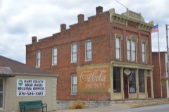
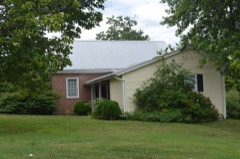
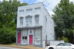
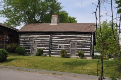
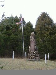
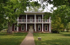
21 National Register listings published here.
Sources: the National Register database, National Park Service
70 topographic sheets and 4 fire insurance atlases across 1 place.
21 National Register listings published here.
Sources: the National Register database, National Park Service
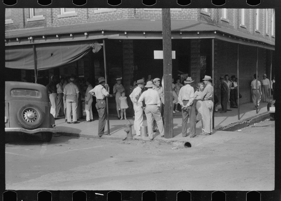
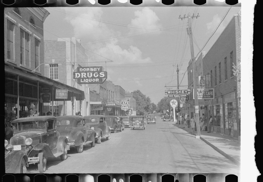
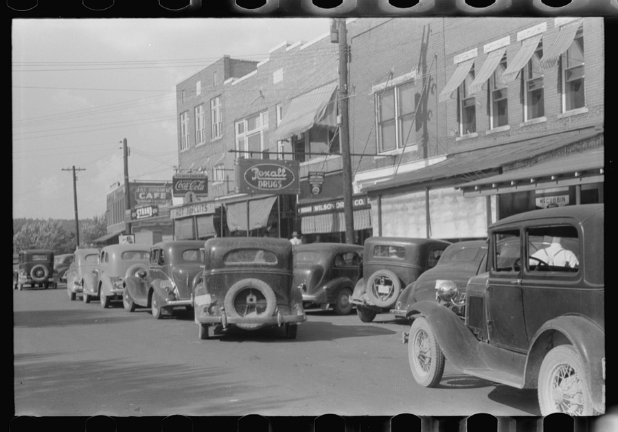
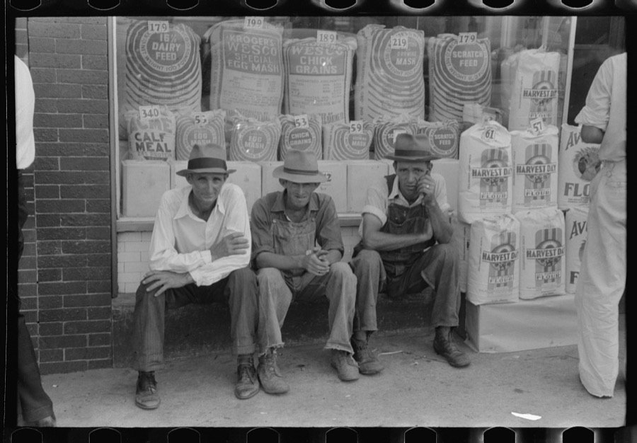
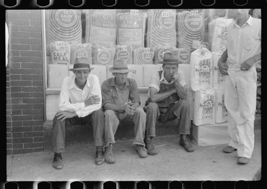
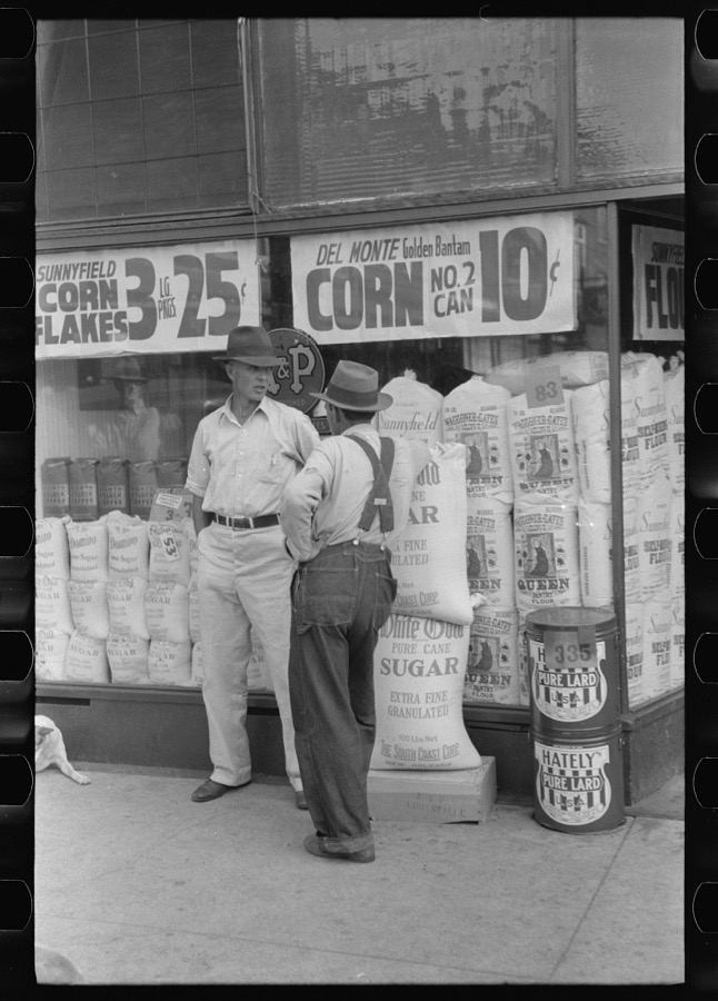
Taken for the Office of War Information and the Farm Security Administration, who photographed the country between 1935 and 1944. Works of United States government photographers, with no known restriction on use. Each opens its catalogue record.
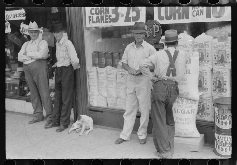
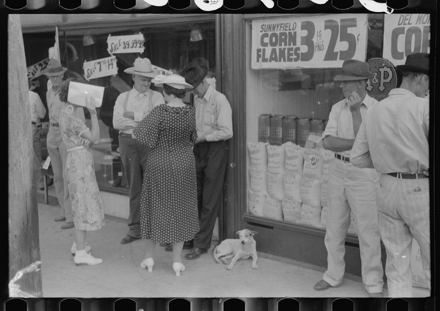
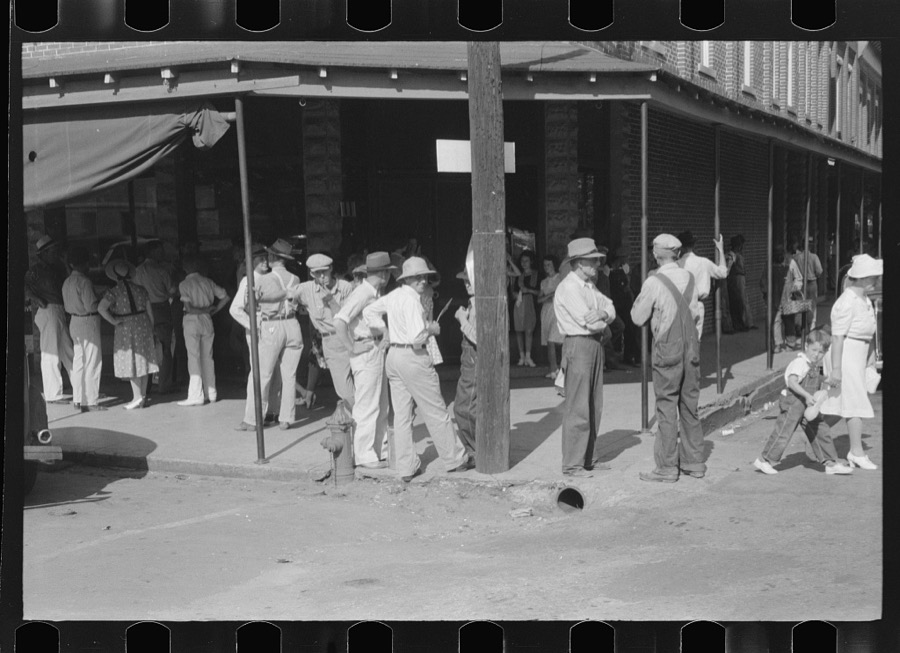
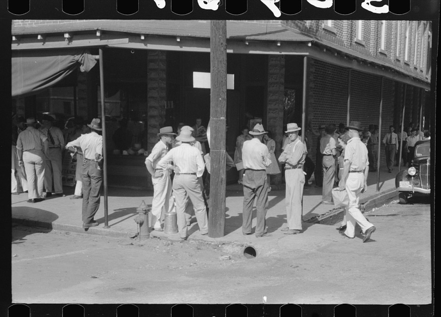
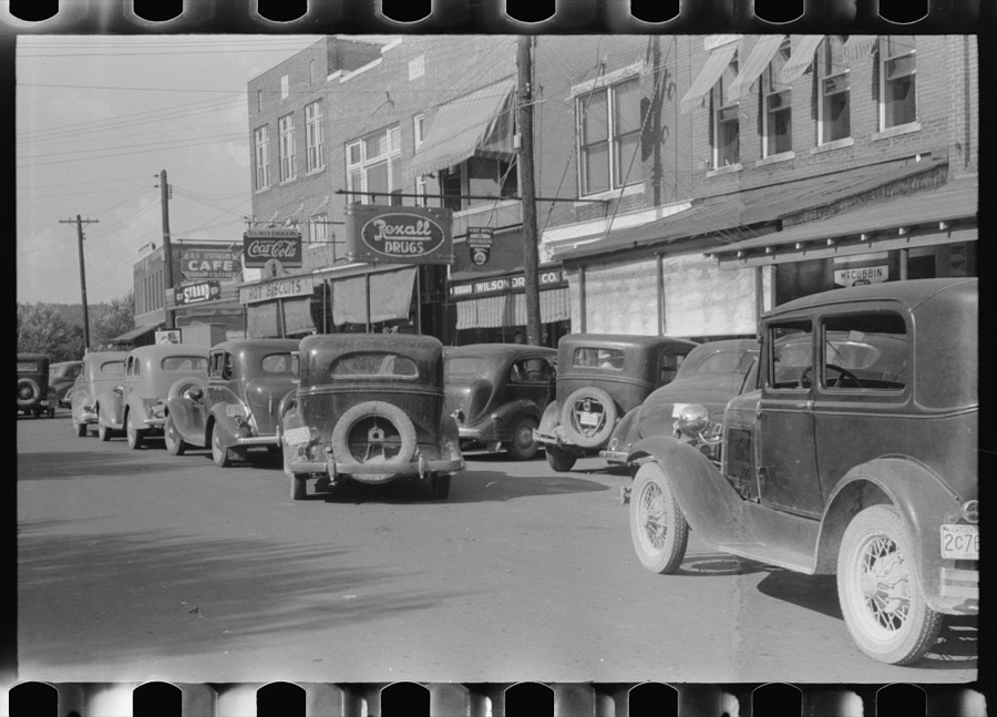
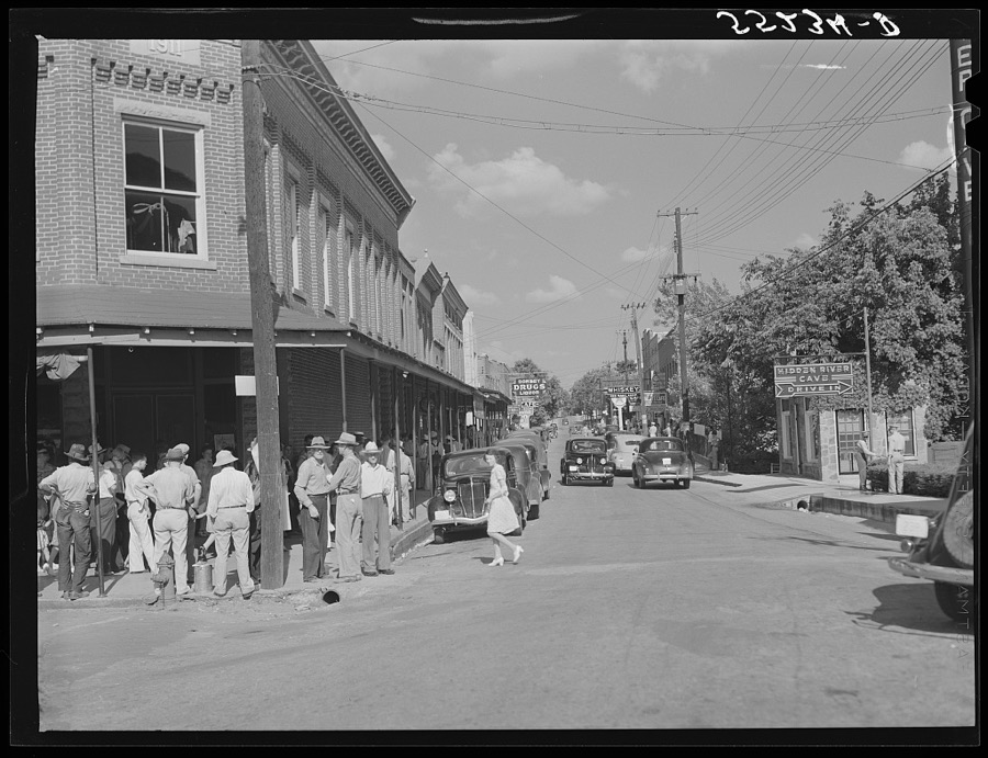
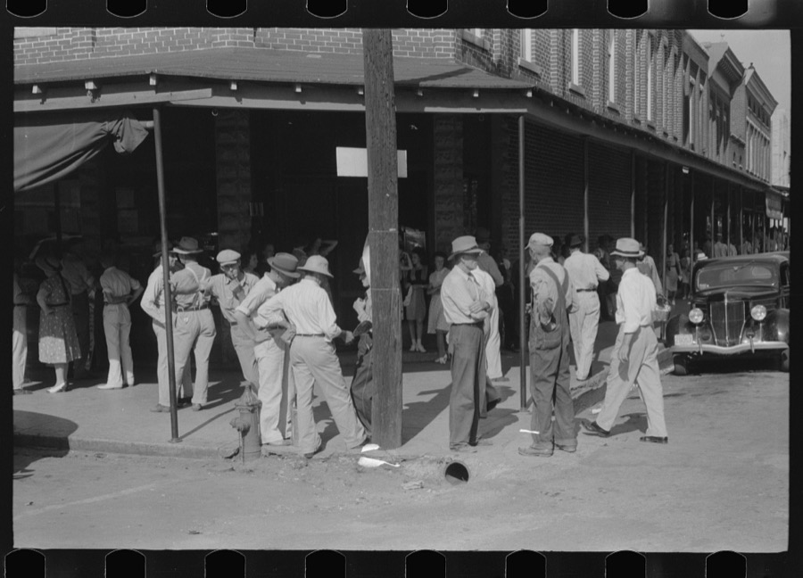
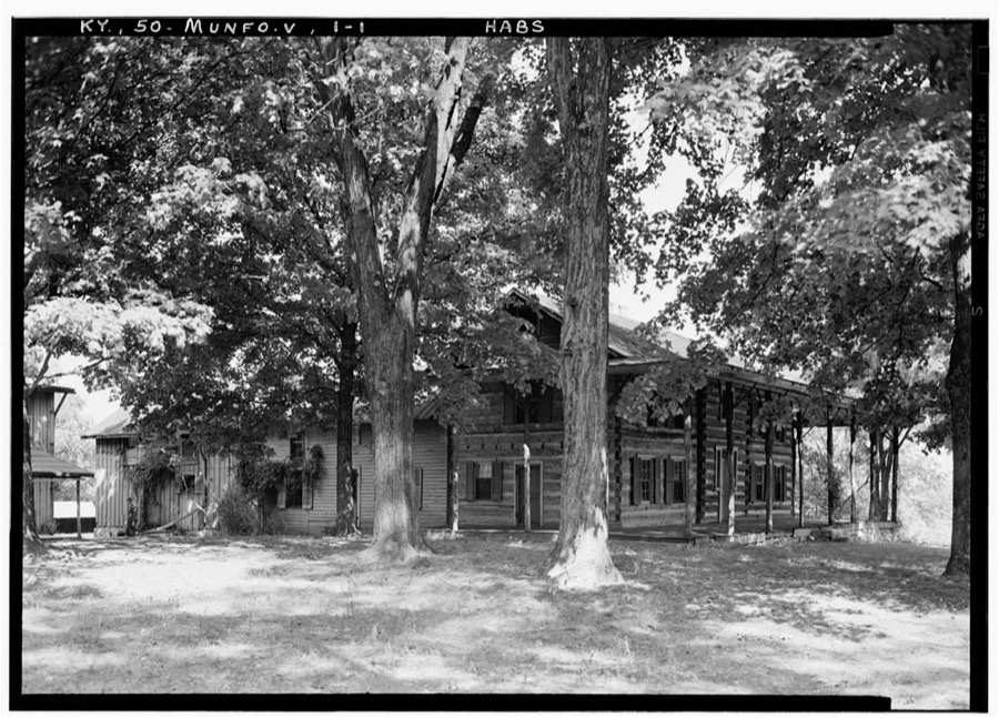
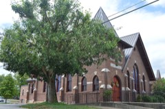
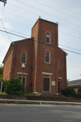
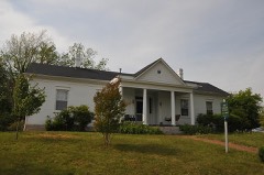
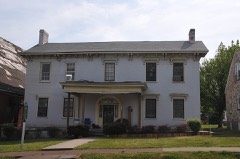
Every property in this county listed on the National Register of Historic Places, with the year it was listed and the federal nomination document.
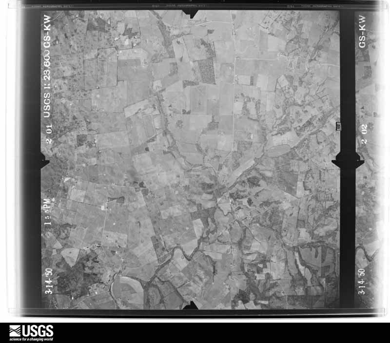
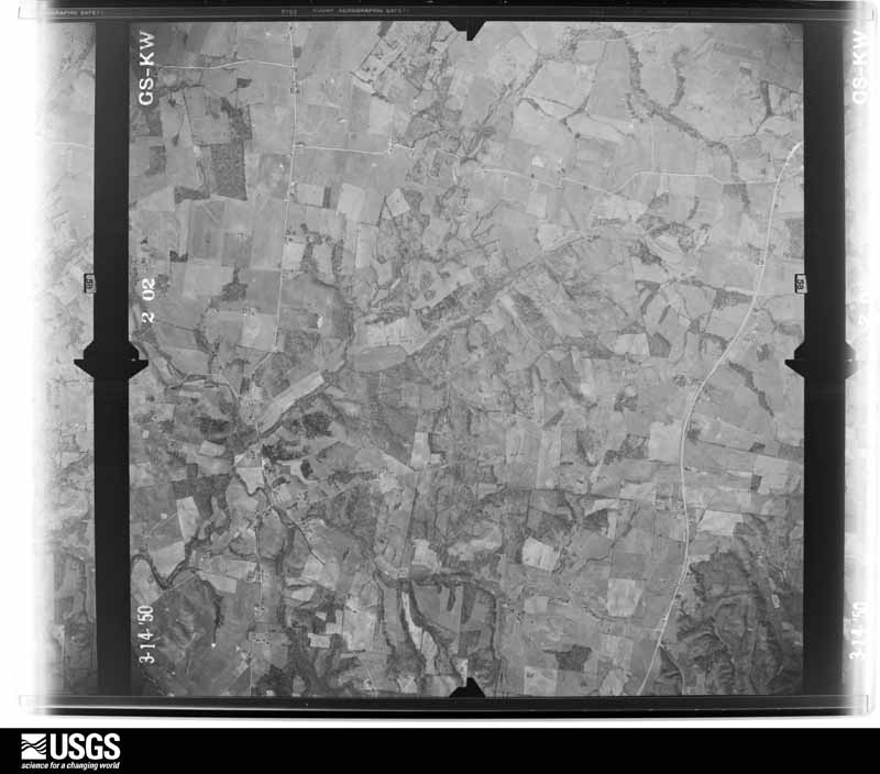
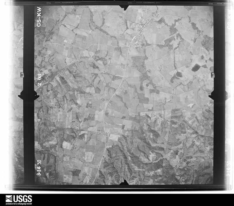
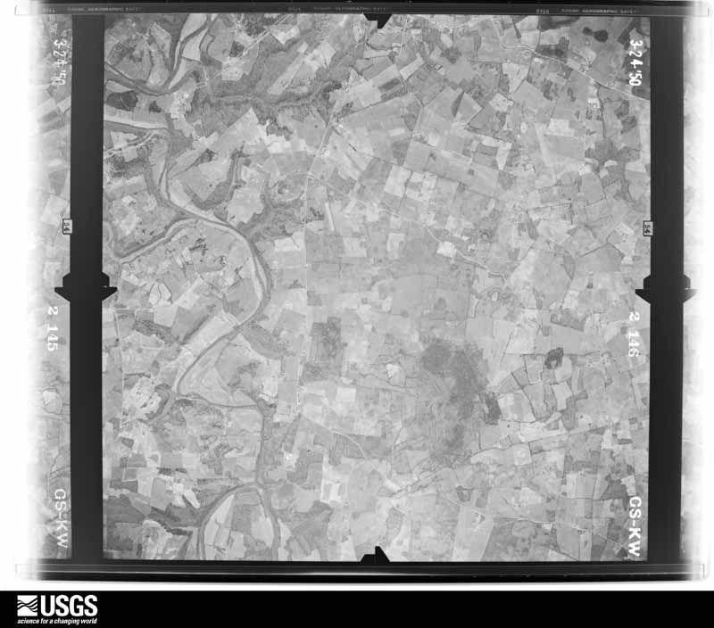
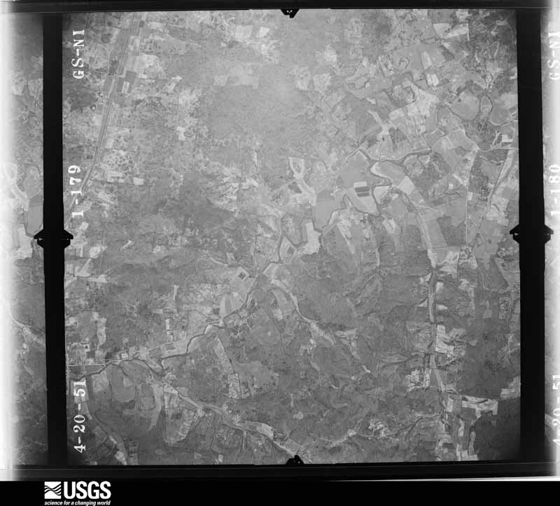
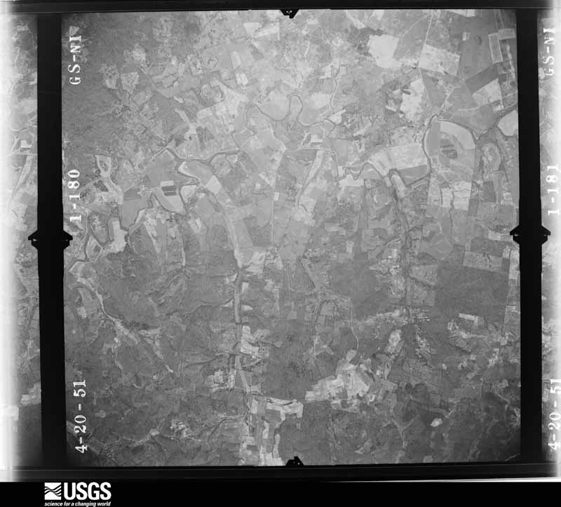
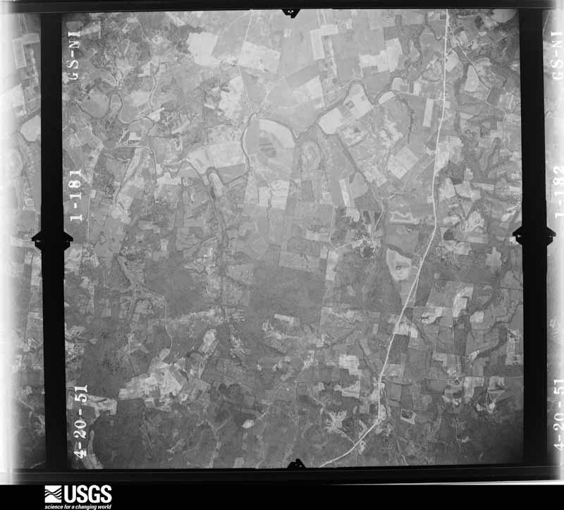
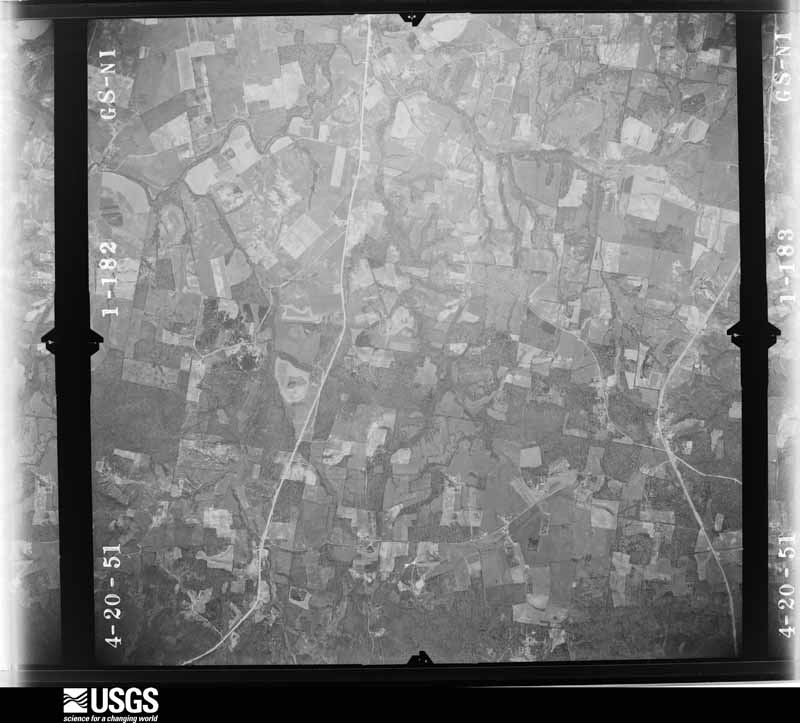
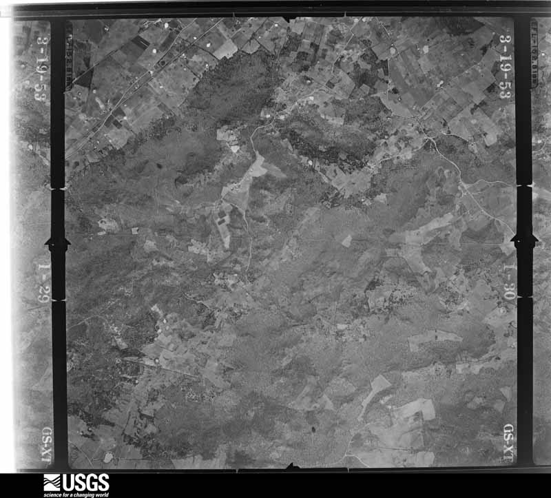
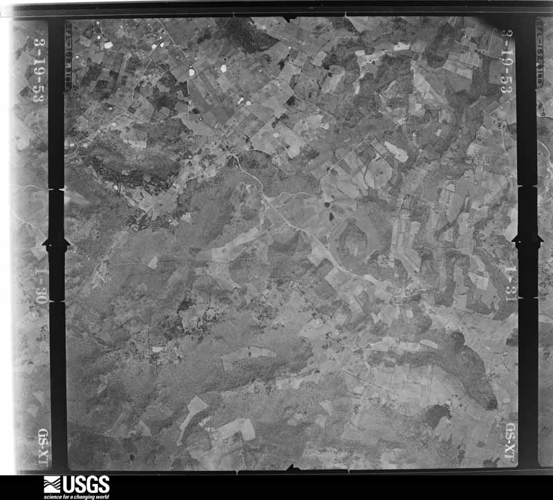
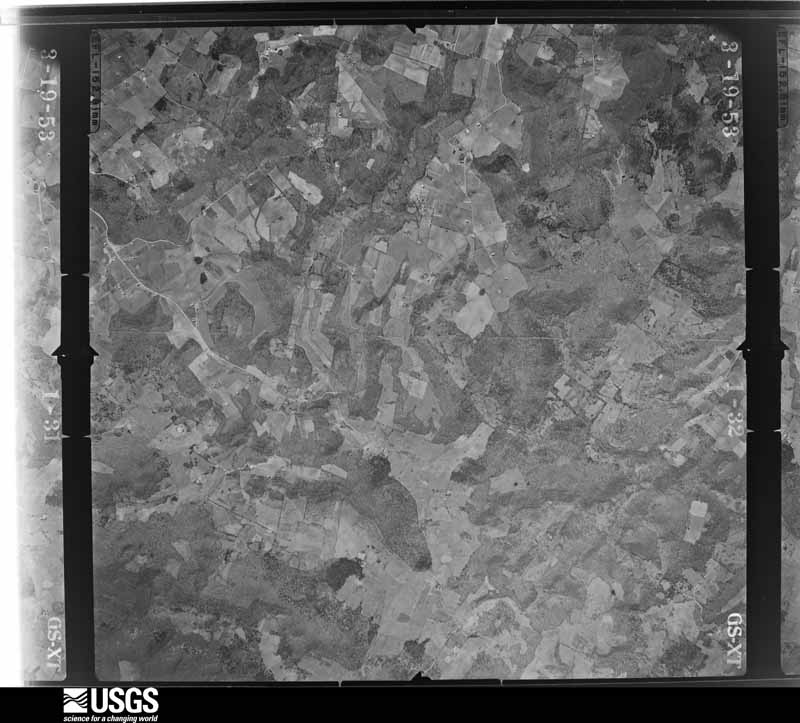
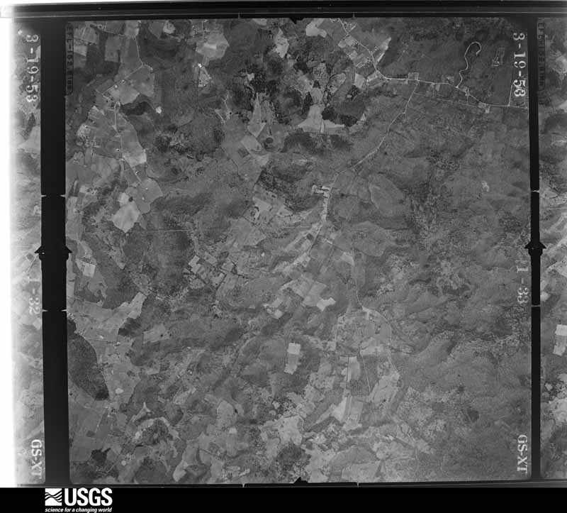
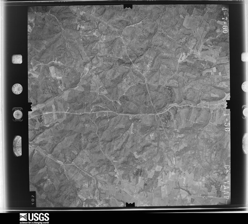
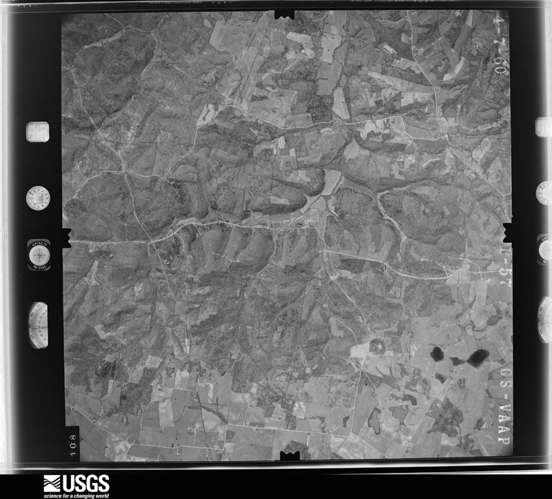
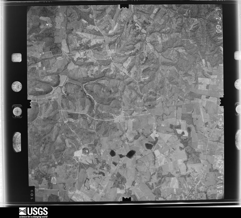
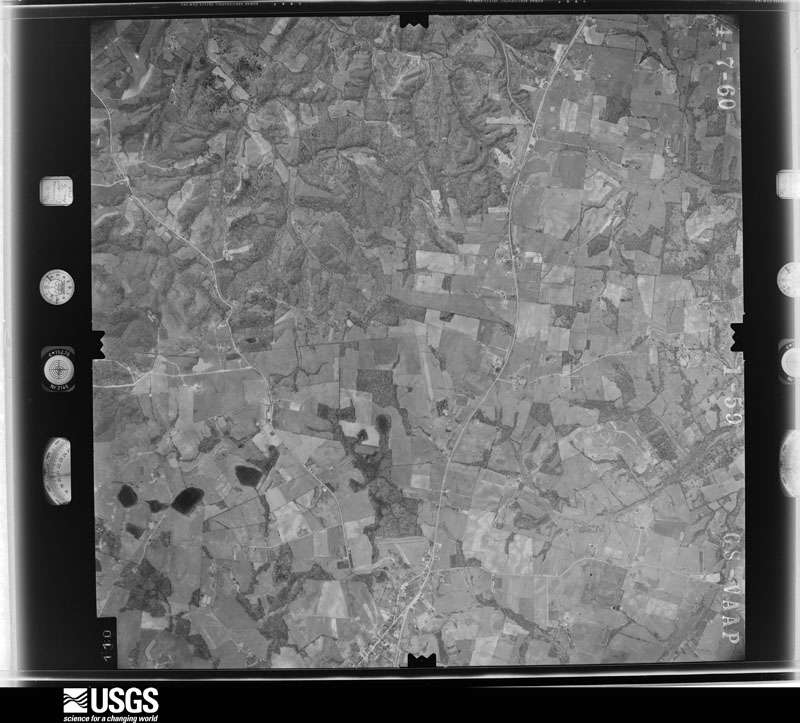
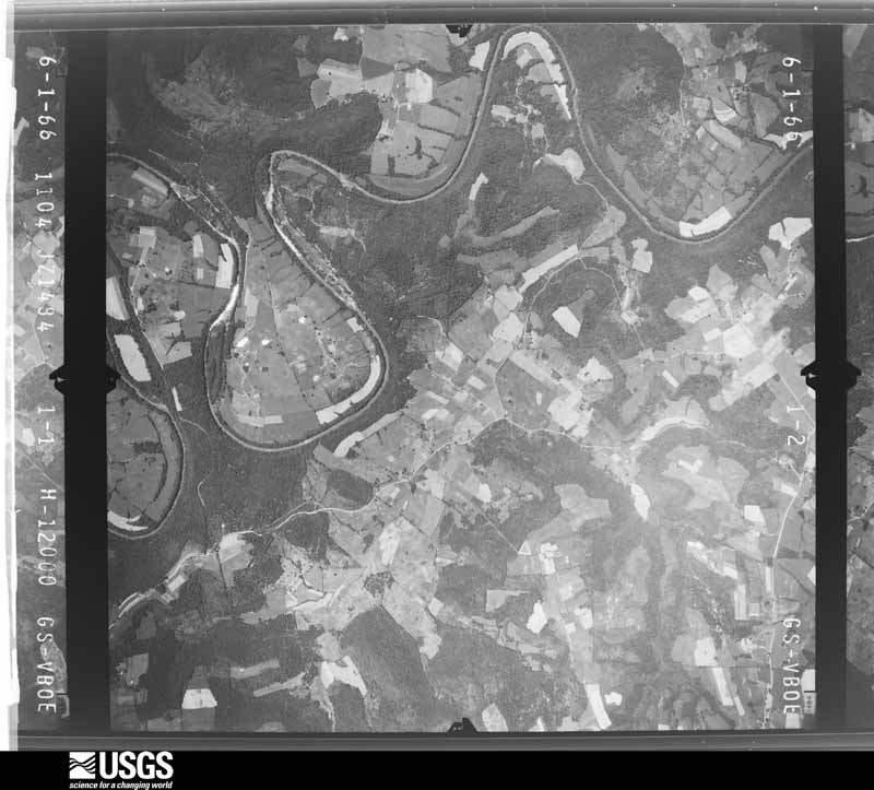
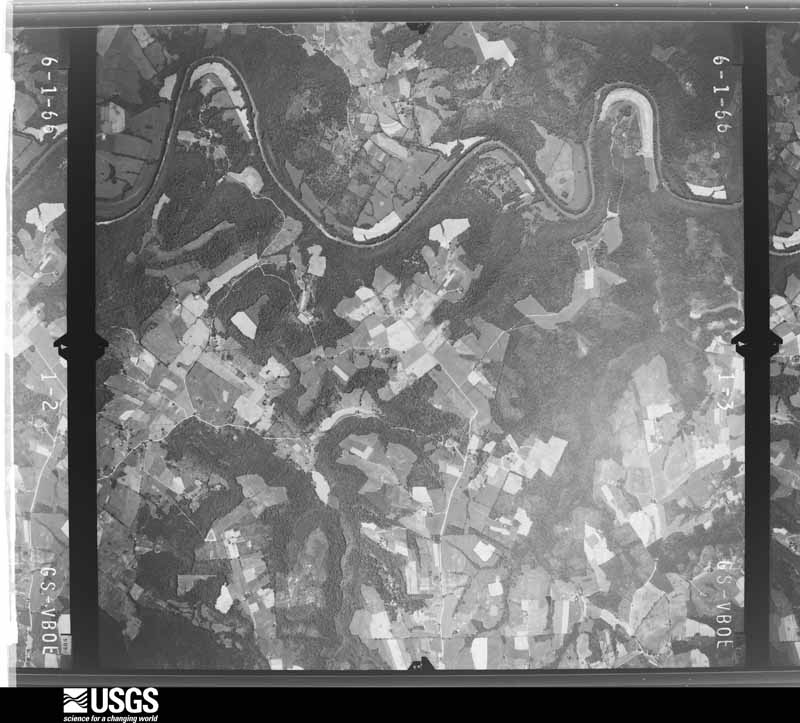
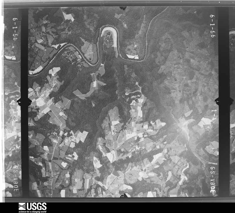
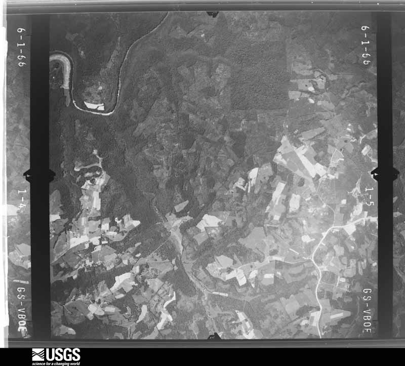
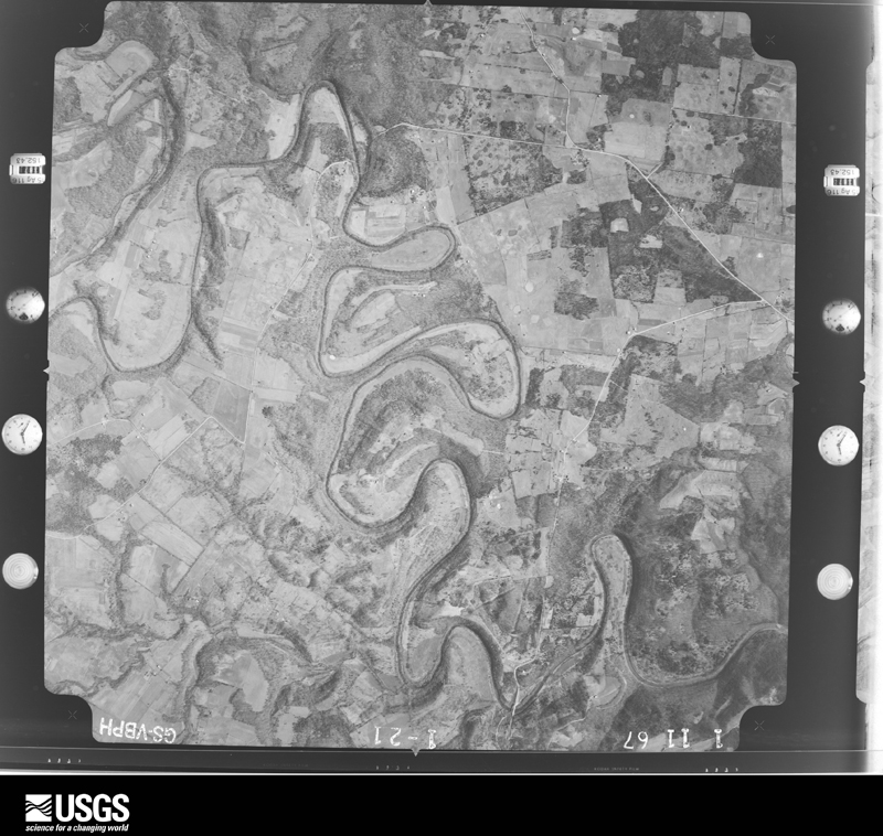
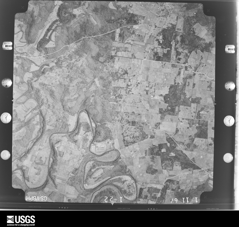
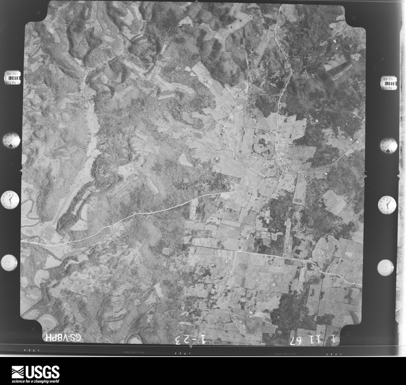
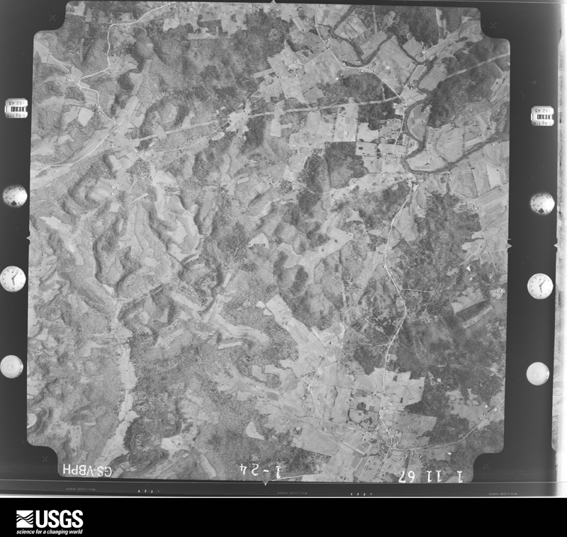
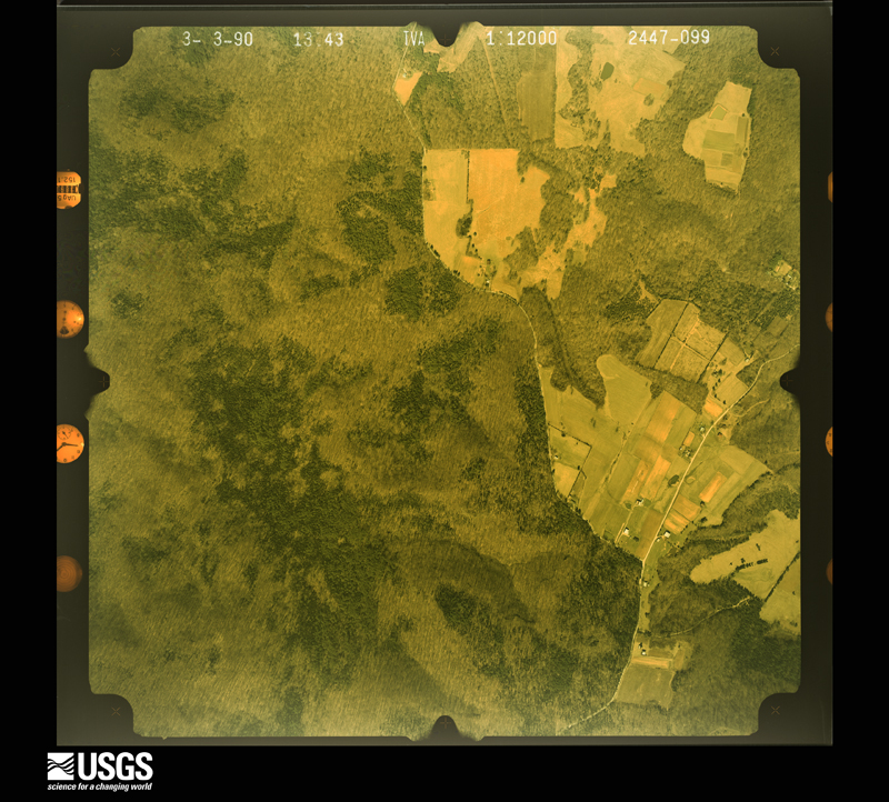
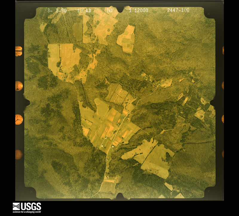
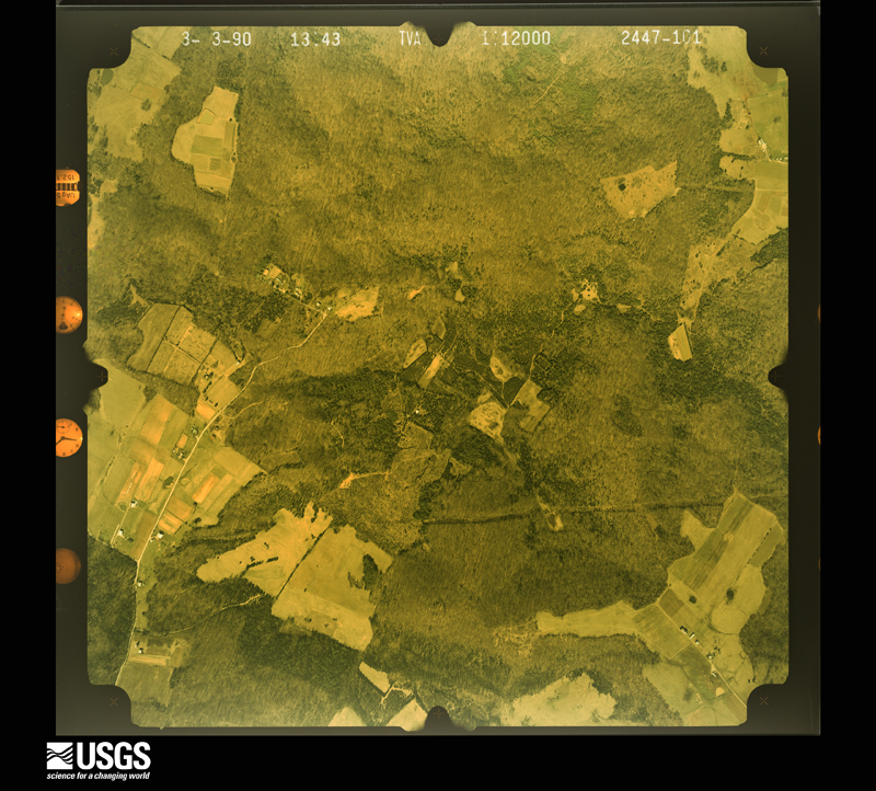
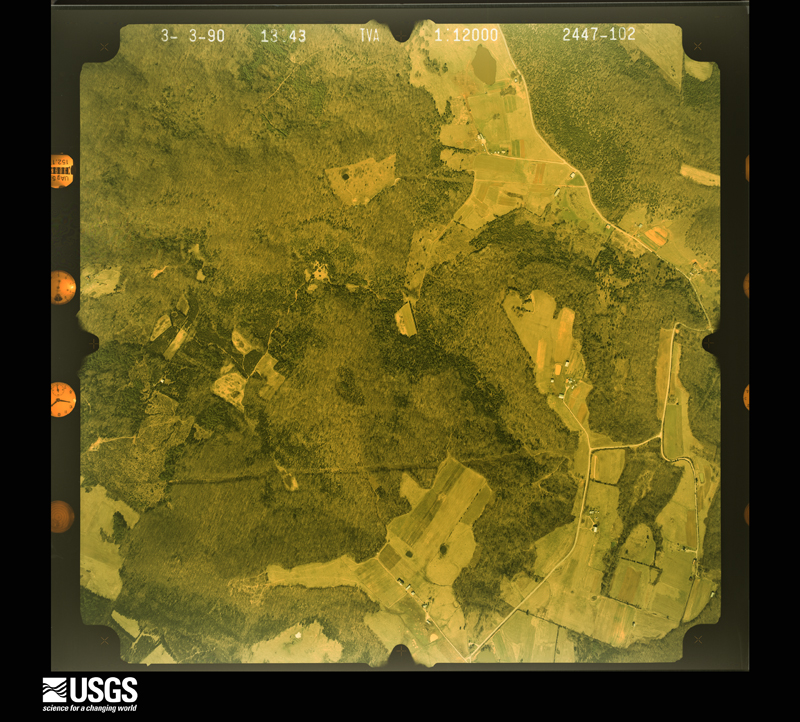
Flown by the U.S. Geological Survey between 1937 and 1989, the Aerial Photo Single Frames collection is the definitive mid-century view of the land: fields, roads and rivers as the camera saw them. The Survey holds 763 frames inside the rectangle that bounds this county; the 28 frames below were taken over the county itself, chosen across the decades of flights (at most four a year from that rectangle), so one flight cannot crowd out the rest. The full set is free to browse and download at EarthExplorer under the dataset Aerial Photo Single Frames.
The thermometers that kept this county's weather, and the gages that measured the flow of its streams, as the federal records hold them. The extremes below are measured values from those records, not estimates.
Who lived here in 1950, one enumeration district at a time, as the Census Bureau described each district. Each row opens its official National Archives result, with Population Schedules and ED Maps available there.
Every wildfire the federal occurrence database records inside this county: 92 of them, burning about 505 acres. None started naturally and 6 were recorded as arson. Each settlement page carries the fires within five miles of it.
| Reported cause | Fires |
|---|---|
| Missing data/not specified/undetermined | 39 |
| Recreation and ceremony | 26 |
| Debris and open burning | 15 |
| Arson/incendiarism | 6 |
| Smoking | 2 |
| Railroad operations and maintenance | 2 |
| Misuse of fire by a minor | 1 |
| Equipment and vehicle use | 1 |
The five largest, by the area the report gives. None of them was recorded as arson.
| Date | Cause | Size | Reported by | Name on the report |
|---|---|---|---|---|
| 11 March 2014 | Missing data/not specified/undetermined | 40 acres | Kentucky Division of Forestry | REYNOLDS LANE |
| 20 March 2010 | Recreation and ceremony | 35 acres | Kentucky Division of Forestry | not named |
| 7 March 2007 | Recreation and ceremony | 31 acres | Kentucky Division of Forestry | not named |
| 8 March 2010 | Recreation and ceremony | 27 acres | Kentucky Division of Forestry | not named |
| 12 September 1999 | Recreation and ceremony | 20 acres | Kentucky Division of Forestry | not named |
| 24 September 1999 | Missing data/not specified/undetermined | 20 acres | Kentucky Division of Forestry | not named |
| 16 December 2017 | Debris and open burning | 20 acres | Kentucky Division of Forestry | WALKER STEWART |
| 3 March 2006 | Missing data/not specified/undetermined | 20 acres | Kentucky Division of Forestry | not named |
Every settlement page carries the fires within five miles of it - see the settlement index below.
The NOAA Storm Events Database holds 293 reports for this county, causing 3 deaths, 27 injuries and about $7,119,600 in recorded property damage. Each settlement page carries the reports that name it.
| Kind of event | Reports |
|---|---|
| Thunderstorm Wind | 166 |
| Hail | 68 |
| Flash Flood | 21 |
| Tornado | 19 |
| Flood | 17 |
| Lightning | 2 |
The most serious of them, by death, then injury, then recorded damage. The accounts are quoted exactly as the forecast office filed them.
| When | Event | Place named | Harm | What the report says |
|---|---|---|---|---|
| February 2025 | Flash Flood | Bonnieville | 2 killed, $10,000 | A woman called 911 after attempting to cross a flooded bridge AT 1900 Campground Road and water began to enter the vehicle. When the Bonnieville Fire Department arrived, they noticed a car partially submerged in high water. They noticed and extradited the driver's daughter from the car, but due to rising water couldn't get extradite the driver until the next day. Both occupants drowned. |
| March 1997 | Tornado (F3) | Bonnieville | 1 killed, 14 hurt, $1,400,000 | no account filed |
| November 1996 | Tornado (F0) | Horse Cave | 5 hurt, $100,000 | no account filed |
| November 1996 | Thunderstorm Wind | Canmer | 2 hurt, $50,000 | no account filed |
| June 1973 | Tornado (F1) | not stated | 2 hurt, $25,000 | no account filed |
| January 1999 | Thunderstorm Wind | Horse Cave | 1 hurt, $110,000 | 5 mobile homes destroyed, 20 barns destroyed, 31 homes damaged, roofs blown off warehouses, trees and power lines down |
| May 1969 | Tornado (F1) | not stated | 1 hurt, $25,000 | no account filed |
| December 2021 | Tornado (EF2) | Rowletts | 1 hurt | This tornado formed approximately 1.6 miles west southwest of Rowletts near L and N Turnpike Road and tracked northeast for approximately 14.2 miles before crossing into western Green County. The tornado continued approximately 9.7 miles into Green County before dissipating at 0215 CST. In Hart County, the same supercell which came from Bowling Green extended another tornado to the ground on the down-sloping side of Fisher Ridge, just east of I-65 on Highway 335. Here, many barns collapsed on tobacco farms and hardwood trees were snapped. The tornado then continued through Rowletts where snapped/uprooted large trees and roof damage was found at the Caveland Country Club. The tornado then encountered terrain on Dawson Knob where little damage was found, however the tornado quickly intensified on the down-sloping side. The tornado continued down Shady Lane Church Rd. where it destroyed many homes, took roofs off structures and homes, collapsed well-built barns, destroyed an Amish schoolhouse, snapped/uprooted many trees, downed many powerlines, and took the lives of many farm animals. The tornado weakened to the northeast of Hardyville where damage was determined to be EF1 and EF0 to the Green County border. |
| March 1991 | Thunderstorm Wind | not stated | 1 hurt | no account filed |
| November 2005 | Tornado (F2) | Munfordville | $2,100,000 | A cold front set off a line of severe thunderstorms during the predawn hours of November 6. One of the thunderstorms spawned an F2 tornado that struck downtown Munfordville in Hart County. The tornado caused major damage to 44 homes and two businesses. Twenty-five homes were declared uninhabitable. Six businesses and 34 homes had minor damage. Munfordville Elementary School had part of the roof removed by the tornado. About 50 vehicles in a car dealership lot were totaled. |
| October 2007 | Thunderstorm Wind | Horse Cave | $1,500,000 | A large section of roof was blown off the Dart Plant building on U.S Highway 31W. Several tobacco barns and warehouses, and other industrial buildings suffered structural damage on east Main Street. |
| February 2008 | Tornado (EF1) | Lone Star | $500,000 | The tornado first touched down near Lone Star, where it destroyed several barns and a mobile home on or near Lone Star Road. The tornado next touched down along U.S. Highway 31W north of Bonnieville, where it heavily damaged or destroyed several more barns or mobile homes. It touched down again near the intersection of Hammonville and Bacon Creek Roads. Here, it caused minor damage to some homes, destroyed a barn, and damaged the roof of another. The tornado continued on eastward, where it damaged several barns near U.S. Highway 31E. |
| July 2018 | Tornado (EF1) | Lone Star | $200,000 | This tornado touched down in a wooded area midway between J Riggs Rd and Copelin Rd north of state highway 728, snapping trees as it moved southeast along a hay field where it destroyed two 1200 lb hay bales and rolled numerous others up to a tenth of a mile into a soybean field and uphill onto a knoll. Snapping trees on the land adjacent to the hay and soybean fields, the tornado took a slight right turn, crossing highway 728, and destroyed a large barn. Large parts of the barn debris were lofted into trees southwest of the structure, snapping their trunks. A 20 x 20 section of the barn was blown 500 feet to the south-southeast. The tornado continued southward for another two-tenths of a mile, downing trees along Campground Rd before lifting. Maximum winds with this tornado were estimated to be 90 to 95 mph. |
| March 2012 | Thunderstorm Wind | Bonnieville | $200,000 | Sporadic wind damage consistent with a microburst was surveyed along the track of a supercell that crossed Hart County. Along Bacon Creek Spur Road, a 30 by 145 greenhouse canopy was lifted. Its supporting poles were bent. A 48 by 70 feet barn had significant roof damage. Quarter sized hail fell at this location. At 5140 State Highway 728, a 32 foot cabin was destroyed. Insulation was thrown 150 yards due east. Just to the east, two tobacco barns were destroyed. A barn canopy was bent and damaged at 11265 Hammondsville Road. The most extensive damage was surveyed along Route 357 South, one mile south of Highway 728. A single-wide mobile home was destroyed, with the roof and most of the exterior siding removed. A nearby barn was also destroyed. |
| June 2006 | Thunderstorm Wind | Three Spgs | $150,000 | no account filed |
| February 2008 | Thunderstorm Wind | Priceville | $100,000 | Thunderstorm winds destroyed two barns near 9758 Highway 1140. |
| May 2003 | Tornado (F1) | Munfordville | $100,000 | Evidence of two brief tornado touchdowns was found embedded in a widespread area of straight line wind damage. The first tornado touchdown was in the Rowlette Street area, and the second was just outside Munfordville on Highway 357. The wind damage event then continued northeast out of town toward Glen Lily. Buildings in a three square block area in downtown Munfordville were damaged, including the Munfordville court house. |
| March 1997 | Tornado (F1) | Hardyville | $85,000 | no account filed |
| November 2000 | Tornado (F1) | Blowing Spgs | $75,000 | Two buildings were lifted up and moved greater than 50 yards. A tractor trailer was deposited on a car. |
| May 1995 | Hail | Mumfordsville | $75,000 | no account filed |
| July 2018 | Lightning | Northtown | $45,000 | It was reported that 25 to 30 heads of livestock were killed in the Northtown area of Hart County when lightning struck during a storm. |
| January 2013 | Thunderstorm Wind | Seymour | $30,000 | Several barns sustained wind damage ranging from peeled metal roof panels to complete collapse along and west of U.S. Highway 31E from the Barren County border to near Hardyville. |
| November 2000 | Tornado (F1) | Horse Cave | $30,000 | A porch roof and several attached columns were ripped off a house. A large pine tree was ripped apart and debris was spread in three directions. A barn was moved three feet away from its foundation, and one of its sides was caved in. |
| March 2019 | Thunderstorm Wind | Horse Cave | $25,000 | A tree was blown down on a house. |
| July 2012 | Thunderstorm Wind | Priceville | $25,000 | A spotter reported a barn with significant structural damage at 728 Priceville Road. A nearby outbuilding was flattened. Quite a few trees were toppled in the area. |
| May 1995 | Hail | Bonnieville | $25,000 | no account filed |
| June 2018 | Thunderstorm Wind | High Hickory | $20,000 | Trees down on power lines in the area. |
| March 2017 | Thunderstorm Wind | Horse Cave | $20,000 | Local broadcast media reported that severe thunderstorm winds tipped over a semi-truck on Interstate 65 near Horse Cave Kentucky. |
| June 2001 | Flash Flood | Horse Cave | $12,000 | Highway 218 was closed due to high water. Three cars had to be pulled from a low lying portion of Highway 218. |
| September 2017 | Flash Flood | Horse Cave | $10,000 | The Hart County Emergency Manager reported that a water rescue was performed in Horse Cave after a vehicle stalled out in flood waters. |
| April 2007 | Thunderstorm Wind | Hammonville | $10,000 | Windows were blown out of a building. |
| April 2006 | Hail | Horse Cave | $10,000 | Hail broke windows and damaged vinyl siding on homes. Damage to vehicles was also reported. |
| May 1995 | Thunderstorm Wind | Mumfordsville | $10,000 | Several trees and a few power lines were blown down in Mumfordsville. |
| December 2023 | Thunderstorm Wind | Woodsonville | $5,000 | A tree fell on a power line. |
| January 2009 | Flood | Woodsonville | $5,000 | Ice melt from a recent ice storm coupled with heavy rain created minor flooding along the Green River near Munfordville. The river crested at 32.73 feet, 4.73 feet above flood stage, on January 30th at 1945 local time. |
| July 2006 | Thunderstorm Wind | Countywide | $5,000 | Trees were downed in Cub Run, Munfordville, and Priceville. In Priceville, a tree was blown on to an unspecified structure. |
| April 2002 | Thunderstorm Wind | Countywide | $5,000 | Trees were downed, and there was isolated structural damage. |
| June 1999 | Thunderstorm Wind | Munfordville | $5,000 | Barn roof blown off |
| March 1997 | Tornado (F0) | Seymour | $5,000 | no account filed |
| August 2011 | Lightning | Priceville | $4,000 | A tree along Kentucky Highway 728 in Priceville was struck by lightning and toppled onto a mobile home, damaging a door and some windows. |
| July 1972 | Tornado (F1) | not stated | $2,500 | no account filed |
| December 2013 | Thunderstorm Wind | Priceville | $2,000 | The Priceville law enforcement reported that thunderstorms winds removed a barn's roof. Numerous trees were downed across the county. |
| February 1999 | Thunderstorm Wind | Munfordville | $2,000 | Trailer damaged in northeastern Hart county |
| April 1995 | Hail | Bonnieville | $1,000 | no account filed |
| March 1995 | Hail | Mumfordsville | $1,000 | no account filed |
| May 1994 | Hail | Linwood | $50 | Large limbs were blown out of trees in Taylorsville and large hail fell at Linwood. |
| May 1994 | Thunderstorm Wind | Taylorsville | $50 | Large limbs were blown out of trees in Taylorsville and large hail fell at Linwood. |
| April 2026 | Thunderstorm Wind | Bonnieville | - | Trees were down on Frenchman knob Road and Locust Grove Road. |
| April 2026 | Thunderstorm Wind | Hinesdale | - | A tree was blocking both lanes on the 1600 block of Omar Chaney Road. |
| April 2026 | Thunderstorm Wind | Defries | - | A tree was blocking the road near the intersection of Defries Road and Davis Bend Road. |
| April 2026 | Thunderstorm Wind | Rio | - | A tree was down Pikeview Road near Powder Mills Road. |
| April 2026 | Thunderstorm Wind | Defries | - | A tree was blocking Sims Cemetery Road. |
| April 2026 | Tornado (EF0) | Cash | - | A brief tornado touched down near Raider Hollow Road. It continued on the ground for roughly one mile, doing mostly tree damage along its one mile path. |
| March 2026 | Thunderstorm Wind | Cash | - | Several trees and power lines were blown down along Raider Hollow Road near Millerstown. |
| February 2025 | Tornado (EF0) | Hammonville | - | A National Weather Service storm damage survey confirmed an EF1 tornado briefly touched down in northeastern Hart County, about one mile south of the LaRue County line. The tornado touched down just west of the intersection of US Route 31 E|and Levi Beams Rd. It topped and uprooted trees on a farm about|0.5 miles west of the 11500 block of North Jackson Highway (31E).|The twister then hit a well built house, damaging the southwest|roof, blowing out windows, and taking a bunch of shingles off. ||A large, well built barn had its doors blown out and about a third |of its roof destroyed. There were large sections of the roofing|structure thrown 200 yards. Several large 2 x 10 joists, each|weighing about 100 pounds, were thrown over 150 yards and|embedded in the ground. Portions of the barn's metal sheeting|were thrown about a third of a mile. There were sporadic roofing|impalements downwind facing north northeast to south southeast.|Winds were 95 mph, EF1, with a width of 100 yards. ||On the east side of 31E, along the rear flank downdraft, a resident |reported heavy wind that caused the house to shake and caused their |ears to pop. ||About 50 yards north of that house, there was topping and snapping |of some older trees and a large section of an older barn|had its roof ripped off. Several power poles were leaning along|31E. Winds were 95 mph, EF1, with a width of 100 yards. ||Along Levi Beams Rd, there were dozens of older and newer trees|snapped, topped and uprooted along with a couple of snapped power|poles. The NWS drone found more tree damage about an eighth of a|mile east of the end of Levi Beams Rd. Winds were 90 mph, EF1,|with a width of 80 yards. ||There was a lot of tree damage along Ernest Chaudoin Rd. The most |concentrated tree damage was in a deep forested area on JD Garner |property. Trees were uprooted, twisted, and leaning. Drone |photography was very helpful to see the tree damage in in the trees. |Winds were 90 mph, EF1, with a width of 100 yards. ||There was a lot of tree damage along Mount Zion Church Road (KY 1079). |Trees were uprooted, twisted, and leaning. One well built home |was hit by the tornado with only minor shingle damage. Winds were |90 mph, EF1, with a width of 100 yards.||Pine and cedar trees were snapped along Carl Benningfield Rd. |Maple and locust trees were uprooted and facing from north northeast |to the southeasterly direction. Drone photography found an old barn, |just east of Carl Benningfield Rd with metal sheeting thrown and |wrapped around some trees and fence. That was the last damage point |about 50 yards east of the barn. Winds were 90 mph, EF1, with a width |of 100 yards. |
| May 2025 | Hail | Horse Cave | - | Quarter sized hail, with some slightly larger hailstones, was reported north of Cave City. |
| May 2025 | Hail | Canmer | - | Ping pong ball sized hail was observed east of Hardyville. |
| June 2025 | Thunderstorm Wind | Priceville | - | A tree was blown down near the intersection of Mud Branch Road and Priceville Road, blocking one lane of traffic. |
| June 2025 | Thunderstorm Wind | Pascal | - | A tree was blown down across Possum Trot Road near Hardyville. |
| April 2025 | Flash Flood | Defries | - | State Road 566 was closed near the Green/Hart County line due to high water. |
The Survey's mineral resources record lists 6 workings inside this county. 3 still produce and 3 are closed or unrecorded. Each settlement page carries the workings within five miles of it.
| Commodity | Workings |
|---|---|
| Fire Clay (Refractory) | 3 |
| Stone, Crushed/Broken | 2 |
| Sand and Gravel, Construction | 1 |
The least common of them first, because a county's hundredth gravel pit says nothing its first ten did not.
| Where | Site | Commodity | Status | Recorded |
|---|---|---|---|---|
| Aetna Mine | Sand and Gravel, Construction | Producer | ||
| Geralds Stone Mine and Mill | Stone, Crushed/Broken | Producer | ||
| Horse Cave Quarry | Stone, Crushed/Broken | Producer | ||
| Bowles Clay Pit | Fire Clay (Refractory) | Prospect | ||
| Childress Clay Pit | Fire Clay (Refractory) | Prospect | ||
| Murray Clay Pit | Fire Clay (Refractory) | Prospect |
Named settlements recorded in the Geographic Names Information System, each with the topographic sheets covering it. Villages, hamlets and abandoned places alike. Each is shown with the nearest named watercourse or landform and the survey quadrangle it falls on. The 1 place that was also surveyed for fire insurance comes first, with the number of atlases and photographs held for them.
Horse Cave census division · 42749 · Near Gossett Knob · Horse Cave quadrangle
12 sheets, 1935 to 1986
Fire insurance: 4 atlases
Hardyville census division · 42722 · Near Watkins Island · Canmer quadrangle
12 sheets, 1934 to 1986
Hardyville census division · 42722 · Near Maxey Knob · Hudgins quadrangle
8 sheets, 1953 to 1986
Munfordville census division · 42729 · On Little Dog Creek · Nolin Lake quadrangle
15 sheets, 1925 to 1981
Hammonville census division · 42765 · Near Buckner Hollow · Canmer quadrangle
12 sheets, 1934 to 1986
Hammonville census division · 42757 · On Martis Branch · Hammonville quadrangle
11 sheets, 1934 to 1986
Hardyville census division · 42746 · Near Allison Knob · Canmer quadrangle
12 sheets, 1934 to 1986
Hammonville census division · 42784 · On Honey Run · Hammonville quadrangle
11 sheets, 1934 to 1986
Hammonville census division · 42765 · Near Buckner Hollow · Canmer quadrangle
12 sheets, 1934 to 1986
Hammonville census division · 42757 · Near Sand Hollow · Hammonville quadrangle
11 sheets, 1934 to 1986
Munfordville census division · 42765 · Near Cove Hollow · Munfordville quadrangle
11 sheets, 1934 to 1986
Munfordville census division · 42765 · Near Tanyard Hollow · Munfordville quadrangle
11 sheets, 1934 to 1986
Munfordville census division · 42729 · On Bacon Creek · Cub Run quadrangle
13 sheets, 1925 to 1981
Hammonville census division · 42765 · Near Grindstone Knob · Canmer quadrangle
12 sheets, 1934 to 1986
Munfordville census division · 42765 · Near Possum Hollow · Munfordville quadrangle
11 sheets, 1934 to 1986
Bonnieville census division · 42713 · On Blue Spring Branch · Upton quadrangle
12 sheets, 1934 to 1986
Hardyville census division · 42722 · On Monroe Branch · Center quadrangle
11 sheets, 1953 to 1986
Munfordville census division · 42765 · Near Skullbone Hollow · Munfordville quadrangle
11 sheets, 1934 to 1986
Munfordville census division · 42765 · Near Town Knob · Munfordville quadrangle
11 sheets, 1934 to 1986
Hammonville census division · Near Grindstone Knob · Canmer quadrangle
12 sheets, 1934 to 1986
No longer a settlement
Munfordville census division · 42765 · Near Town Knob · Munfordville quadrangle
11 sheets, 1934 to 1986
Hammonville census division · 42757 · Near Sand Hollow · Hammonville quadrangle
11 sheets, 1934 to 1986
Hammonville census division · 42782 · Near Puckett Knob · Hudgins quadrangle
8 sheets, 1953 to 1986
Hardyville census division · 42746 · Near Allison Knob · Park quadrangle
11 sheets, 1935 to 1986
Bonnieville census division · 42784 · Near Priddy Hollow · Upton quadrangle
12 sheets, 1934 to 1986
Hammonville census division · 42765 · Near Rocky Hollow · Canmer quadrangle
12 sheets, 1934 to 1986
Munfordville census division · 42729 · On Cane Run · Cub Run quadrangle
13 sheets, 1925 to 1981
Horse Cave census division · 42749 · Near Summer Seat Knob · Horse Cave quadrangle
12 sheets, 1935 to 1986
Hardyville census division · 42746 · On Mouser Branch · Center quadrangle
11 sheets, 1953 to 1986
Munfordville census division · 42765 · On Cub Run · Mammoth Cave quadrangle
22 sheets, 1922 to 1981
Bonnieville census division · 42713 · Near Gardner Knob · Upton quadrangle
12 sheets, 1934 to 1986
Bonnieville census division · 42713 · Near Warren Knob · Hammonville quadrangle
11 sheets, 1934 to 1986
Hardyville census division · 42746 · On Fancher Branch · Center quadrangle
11 sheets, 1953 to 1986
Horse Cave census division · 42749 · Park quadrangle
11 sheets, 1935 to 1986
No longer a settlement
Munfordville census division · 42765 · On Sinking Creek · Cub Run quadrangle
13 sheets, 1925 to 1981
Horse Cave census division · 42765 · Near Town Knob · Munfordville quadrangle
11 sheets, 1934 to 1986
The vanished settlements of Hart County: the places named above that are no longer on the map.
12 topographic sheets and 4 fire insurance atlases, 1916 to 1932
The complete index, with nothing left out. Each of these is a separate record with its own page: a federal survey report, or the case file that argued a property on to the National Register. Both are public domain and reproduced word for word.
The vanished settlements of Hart County, the places these records name that are no longer on the map.