 Block
Renick, Kentucky
7 topographic sheets cover this place, the earliest surveyed in 1952 and the latest in 1986. It stands in the Winchester census division. It lies in ZIP code area 40391. It stands on Hancock Creek. The Survey maps it on the Austerlitz quadrangle.
On record in Renick
Buildings and businesses the archive holds for this place. Each opens its own page, with the source record it came from.
On the National Register within a mile 1 record
The National Register names another town for these. They stand within one mile of this settlement's coordinate.
- Strauder Goff Houselisted 1979 · 0.9 miles away
Topographic sheets covering this place
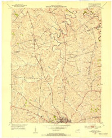
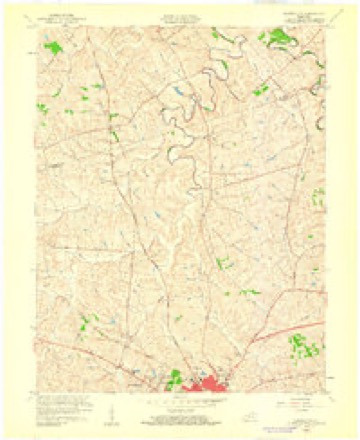
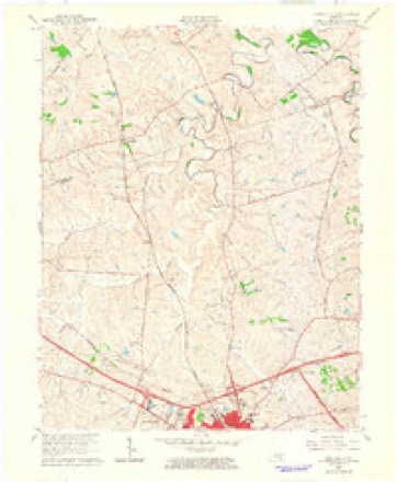
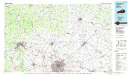
6 surveys from 7 printed sheetsMatched by testing this settlement's coordinate against the published boundary of every sheet in the United States Geological Survey's historical collection. Each opens the scanned sheet at the Survey.
- 1952 USGS Austerlitz quadrangle1:24000
- 1956 USGS Louisville quadrangle1:250000, 2 printings
- 1959 USGS Austerlitz quadrangle1:24000
- 1964 USGS Louisville quadrangle1:250000
- 1965 USGS Austerlitz quadrangle1:24000
- 1986 USGS Lexington quadrangle1:100000


Storms near this place
5 since 2012Regional context, not property-specific evidence. The National Weather Service names Renick in 5 storm reports between 2012 and 2024: 4 thunderstorm wind, 1 tornado. No death or injury is recorded in these reports. Each account below is quoted exactly as the forecast office filed it, from the NOAA Storm Events Database, and each date opens the federal record of that event.
| When | Event | Place named | Harm | What the report says |
|---|---|---|---|---|
| April 2024 | Tornado (EF1) | Renick | - | After exiting Bourbon County, the tornado continued southeast to a large property off the 6700 block of Paris Rd, in far north Clark County. The home had several older healthy trees near the home downed as well as a barn demolished. A very old|stone cabin downwind of the home escaped damage, likely because of the upstream trees and the home structure. Some additional tree damage occurred along Pretty Run Rd. The tornado last caused damage to a large new barn in Wades Mill area before lifting. In total, the EF1 tornado covered 13.44 miles after beginning near Bethlehem Road in Bourbon County and ending in Clark County. |
| June 2022 | Thunderstorm Wind | Renick | - | Roughly 20 trees were reported down in the county. Three transformer fires and numerous power outages were also reported. |
| June 2020 | Thunderstorm Wind | Renick | - | A 77 mph wind gust was recorded at the KYMesonet site in Clark County. |
| June 2017 | Thunderstorm Wind | Renick | - | Local law enforcement reported downed trees blocking portions of Highway 627 near the Bourbon County line. |
| July 2012 | Thunderstorm Wind | Renick | - | A thunderstorm produced a 59 mph wind gust measured by the Kentucky Mesonet 3 miles northwest of Winchester. |
Nearest settlements
The eight closest, with where each one stands in the county. Distances are straight-line, computed from the Geographic Names Information System coordinates.
| Map | Place | Distance | Sheets |
|---|---|---|---|
| Silver Lake (historical) | 2.2 miles | 7 | |
| Constant Station (historical) | 2.3 miles | 7 | |
| Judianne Estates (historical) | 2.5 miles | 7 | |
| Pretty Run (historical) | 2.8 miles | 7 | |
| Rockwell Village (historical) | 2.8 miles | 7 | |
| Shala-Mar Estates (historical) | 3.2 miles | 7 | |
| Forest Retreat (historical) | 3.3 miles | 7 | |
| Wyandotte | 3.5 miles | 11 |
Provenance
This settlement is recorded in the Geographic Names Information System as feature 508922. The sheet list is computed by point-in-boundary test against the United States Geological Survey's historical topographic inventory. Both are works of the United States government and carry no copyright under 17 U.S.C. 105.
Storms. NOAA National Centers for Environmental Information, Storm Events Database https://www.ncei.noaa.gov/stormevents/ A work of the United States government, no copyright under 17 U.S.C. 105. Narratives are quoted verbatim from the National Weather Service report and are not edited or summarised.