 Block
From the record
62 National Register listings published here.
Sources: the National Register database, National Park Service
59 topographic sheets and 8 fire insurance atlases across 1 place.
62 National Register listings published here.
Sources: the National Register database, National Park Service
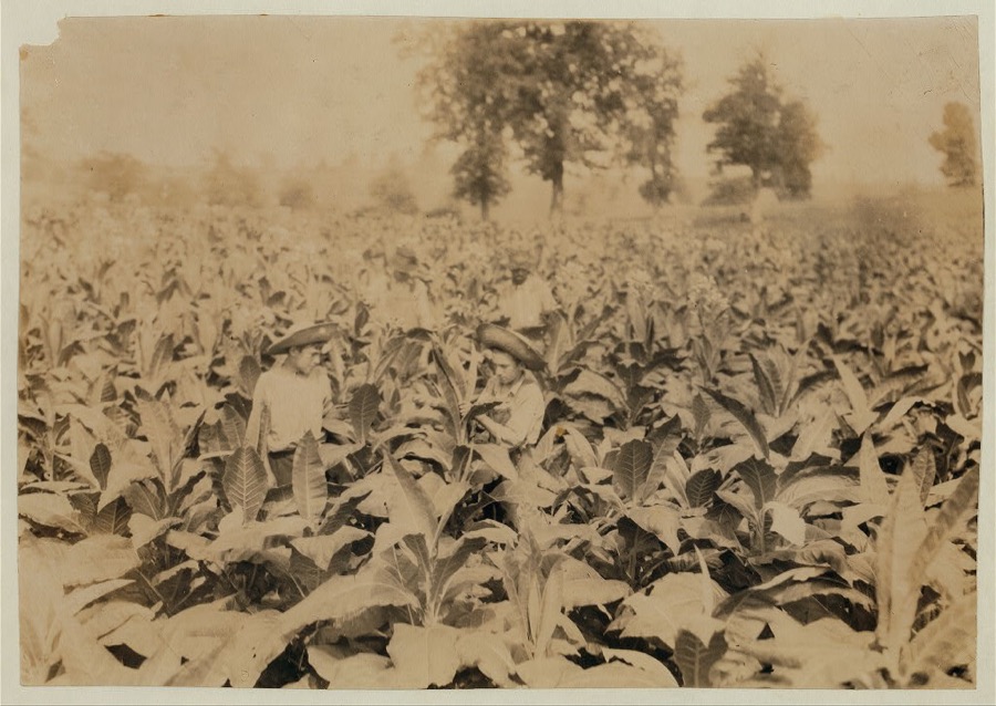
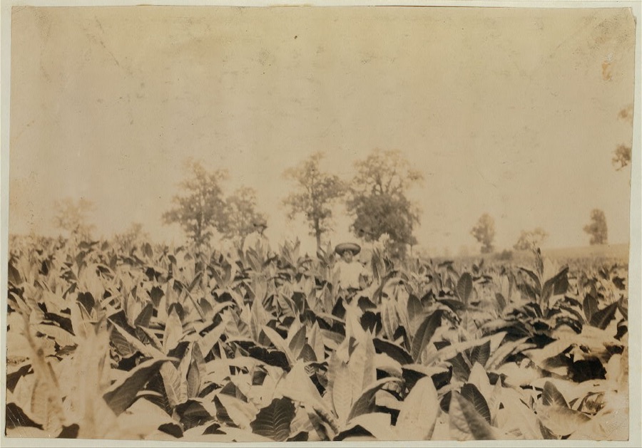
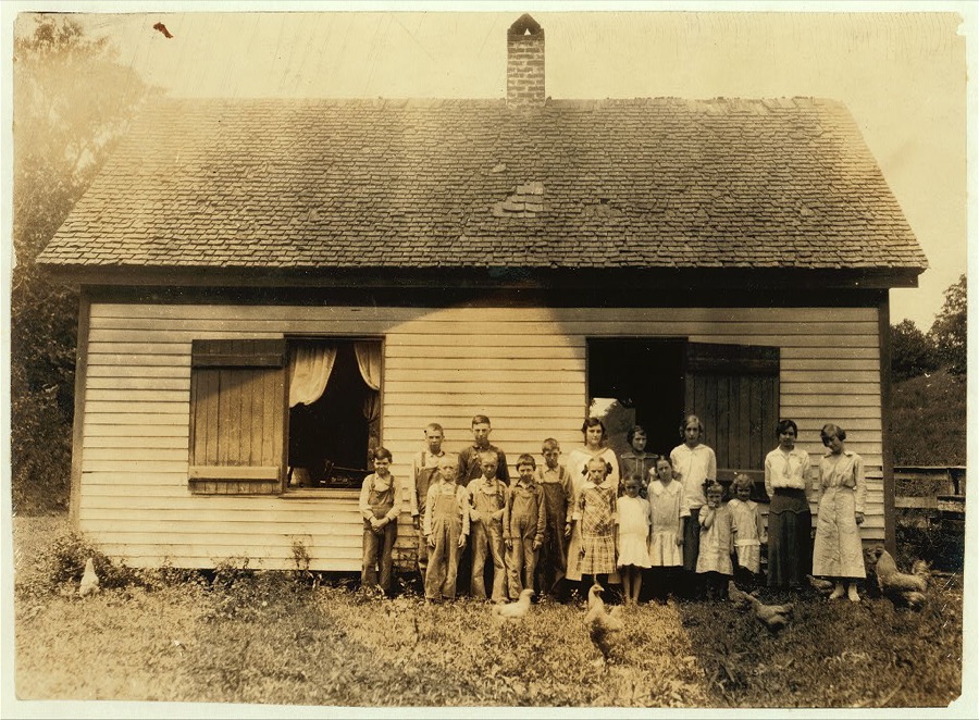
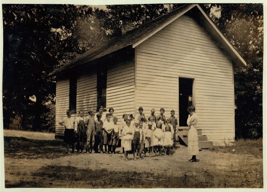
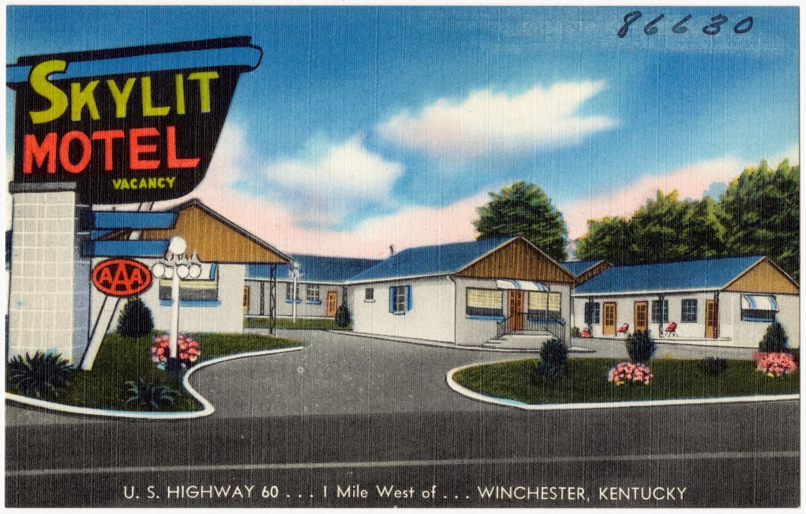
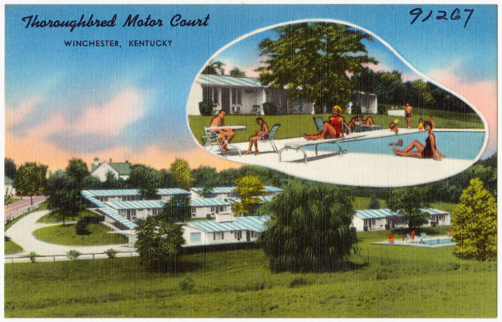
Taken for the Office of War Information and the Farm Security Administration, who photographed the country between 1935 and 1944. Works of United States government photographers, with no known restriction on use. Each opens its catalogue record.
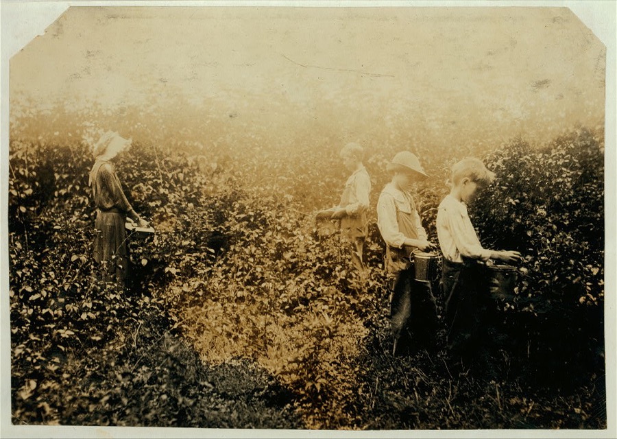
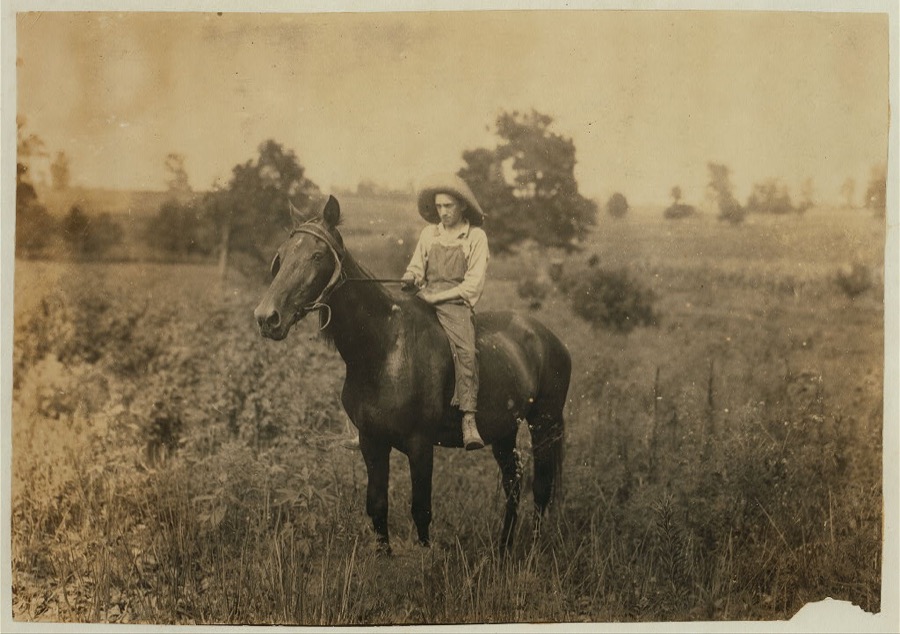
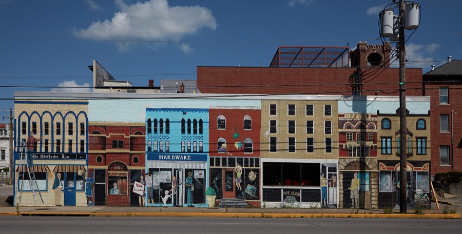
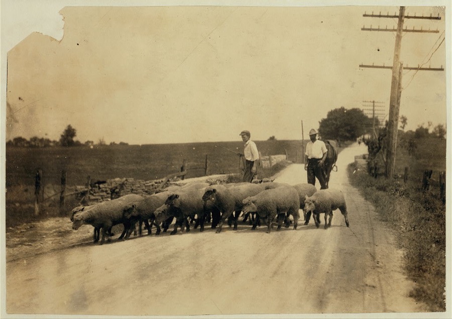
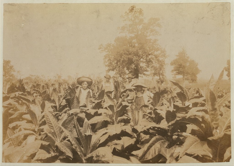
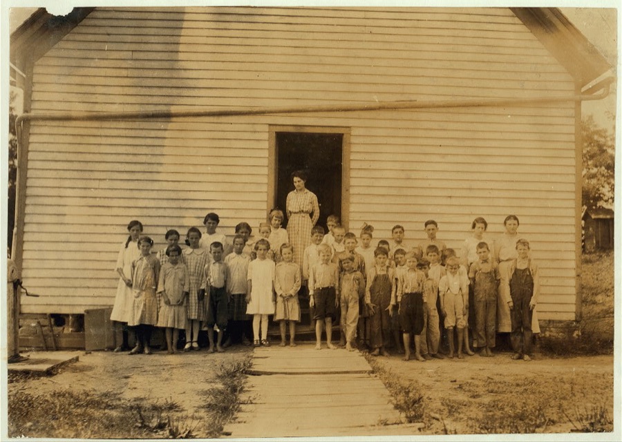
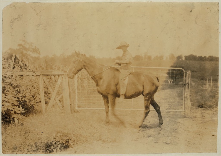
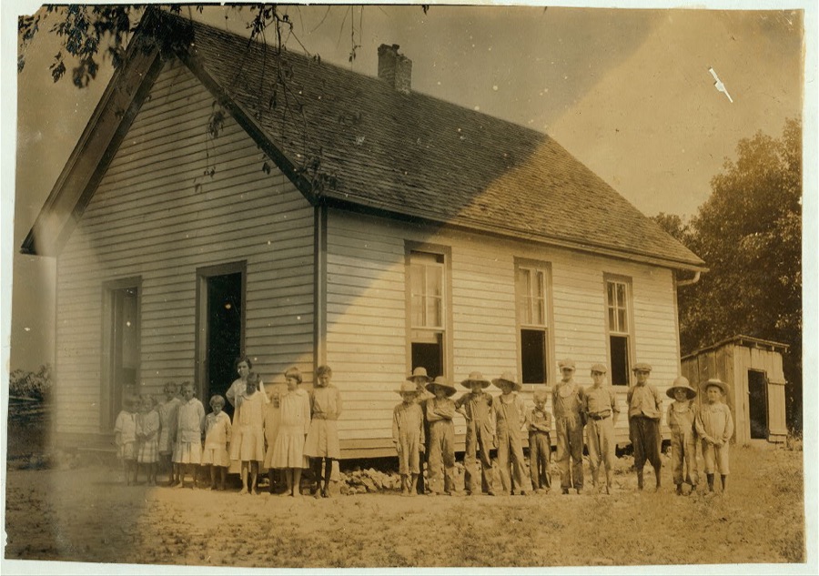
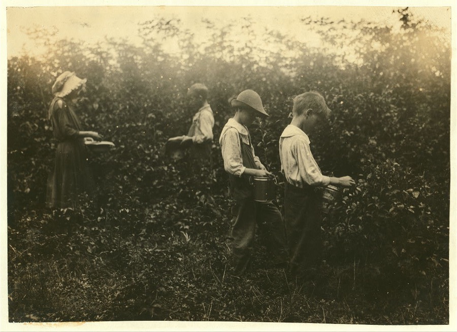
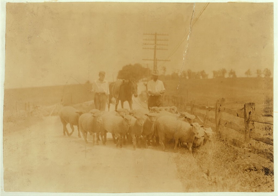
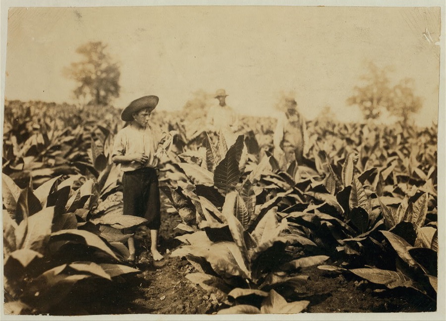
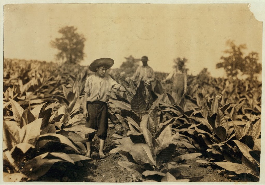
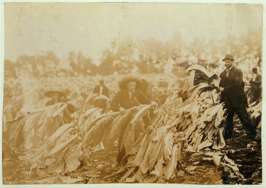
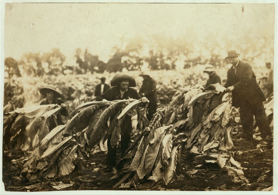

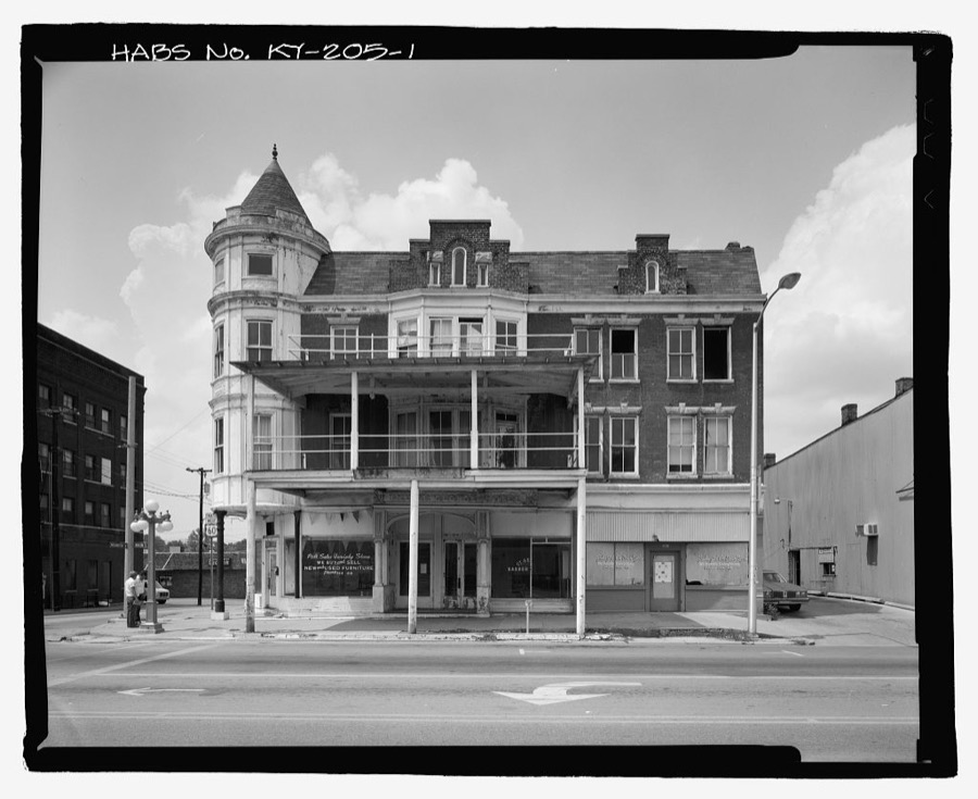
Every property in this county listed on the National Register of Historic Places, with the year it was listed and the federal nomination document.
| Photograph | Property | Type | Listed | Reference |
|---|---|---|---|---|
| Antioch Christian Church | building | 1979 | 79003566 | |
| Boot Hill Farm | building | 1985 | 85000374 | |
| Brock House | building | 1979 | 79003567 | |
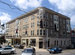 | Brown-Proctoria Hotel | building | 1977 | 77000609 |
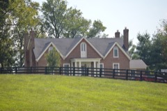 | Capt. Robert V. Bush House | building | 1979 | 79003568 |
| V.W. Bush Warehouse | building | 2017 | 100000737 | |
| W. Bush-Dykes House | building | 1979 | 79003569 | |
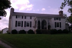 | Bybee House | building | 1979 | 79003570 |
| Henry W. Calmes House | building | 1979 | 79003571 | |
| Tarleton Chiles House | building | 1979 | 79003598 | |
| Civil War Fort at Boonesboro | structure | 2003 | 03000262 | |
 | Clark County Courthouse | building | 1974 | 74000858 |
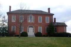 | Gov. James A. Clark Mansion | building | 1974 | 74000859 |
| William Clinkenbeard House | building | 1980 | 80001497 | |
| Colby Tavern | building | 1979 | 79003572 | |
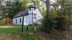 | Corinth Christian Methodist Episcopal Church | building | 2007 | 07000678 |
| Couchman House | building | 1979 | 79003573 | |
| Frances Cullom Jr. House | building | 1979 | 79003574 | |
| Elkin House | building | 1979 | 79003576 | |
| Achilles Eubank House | building | 1979 | 79003577 | |
| Jesse Fishback House | building | 1979 | 79003578 | |
| John Gibbs House | building | 1979 | 79003580 | |
| David Gist House | building | 1979 | 79003581 | |
| Strauder Goff House | building | 1979 | 79003582 | |
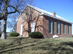 | Goshen Primitive Baptist Church | building | 1979 | 79003583 |
| Nathaniel Haggard House | building | 1979 | 79003584 | |
| Jesse Hampton House | building | 1979 | 79003585 | |
| Gen. Thomas Hart House | building | 1979 | 79003586 | |
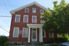 | William Hickman House | building | 1982 | 82001554 |
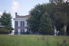 | Hodgkins House | building | 1979 | 79003587 |
| Dailey-Milton Holliday House | building | 1979 | 79003575 | |
| Hollywood Springs | building | 1979 | 79003588 | |
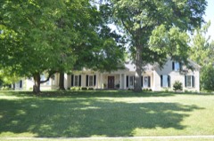 | Hood-Tucker House | building | 2007 | 06001201 |
| Lampton House | building | 1979 | 79003589 | |
| Alpheus Lewis House | building | 1979 | 79003590 | |
| Martin House | building | 1979 | 79003591 | |
| Maj. John Martin House | building | 1982 | 82002680 | |
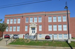 | Oliver School | building | 2004 | 04000795 |
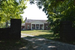 | Owen-Gay Farm | district | 1997 | 97000163 |
| Parrish Place | building | 1979 | 79003592 | |
| Col. Edmund Pendleton House | building | 1979 | 79003593 | |
| Maj. Walter Preston House | building | 1979 | 79003594 | |
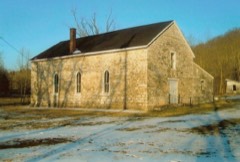 | Providence Baptist Church | building | 1976 | 76000864 |
| W. Pruett House | building | 1980 | 80001499 | |
| J. Quisenberry House | building | 1979 | 79003596 | |
| Joel Quisenberry House | building | 1979 | 79003595 | |
| Redmond House | building | 1979 | 79003597 | |
| Robert Scobee House | building | 1980 | 80001500 | |
| South Park Neighborhood | district | 2008 | 07001253 | |
| Springhill | building | 1978 | 78001309 | |
| Stipp House | building | 1980 | 80001501 | |
| William Taylor House | building | 1979 | 79003600 | |
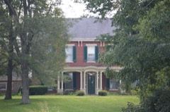 | Stanley F. Tebbs House | building | 1979 | 79003579 |
| Thomson Neighborhood District | district | 1992 | 91001925 | |
| Upper Reaches of Boone Creek Rural Historic District | district | 2009 | 09000569 | |
| Van Meter Distillery | building | 1979 | 79003599 | |
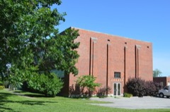 | Victory Heights Elementary School | building | 2004 | 04000796 |
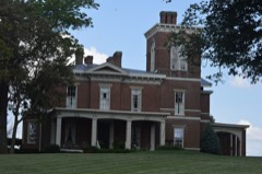 | Vinewood | building | 1977 | 77000610 |
| Wade Farmstead | building | 1979 | 79003601 | |
 | Winchester Downtown Commercial District | district | 1982 | 82002681 |
| Woodford-Fishback-Venable Farm | district | 2008 | 08000655 | |
| Wright-Evans House | building | 2019 | 100003474 |
Sampled issues, machine-read from the Library of Congress scan and published page by page, so every headline and column is searchable text.
Winchester, Ky., 1908 to 19??. Machine-read from the Library of Congress scan.
Drawn when these were printed as single large sheets: the town seen from the air, and the county divided into its farms with every owner named. Each opens the original at the Library of Congress.
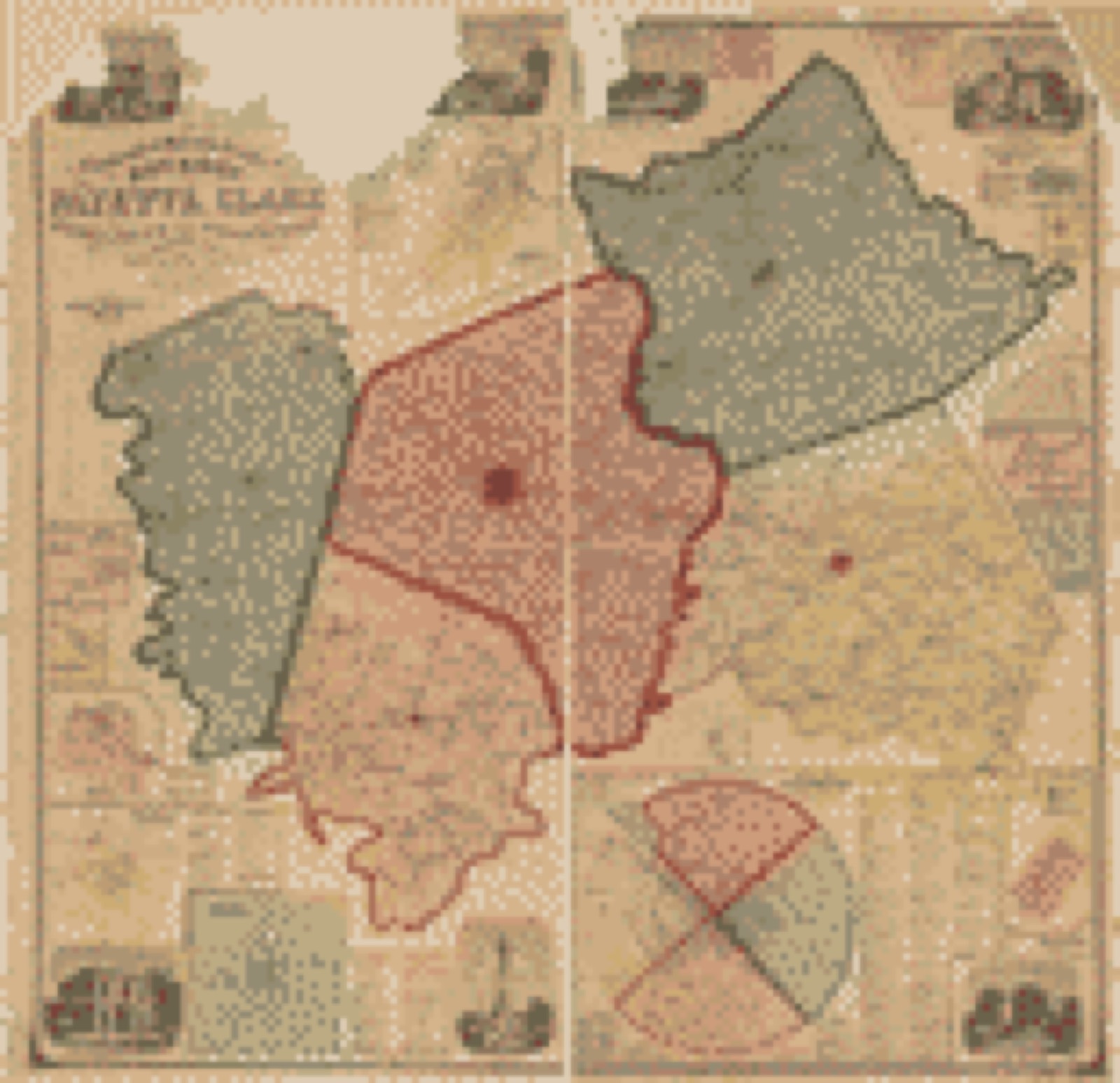
Selected from the Digital Public Library of America's 6 image records catalogued for this county. Every one shown here carries a public-domain status or a licence that permits reuse on a site that carries advertising; non-commercial, share-alike and restricted images are excluded. The selection is spread across the county's towns (at most eight per town), so no single institution's bulk upload crowds out the rest. Each opens the holding library's record, and the complete set at the Digital Public Library of America is one click away.
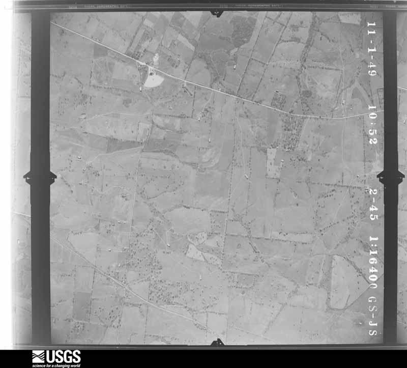
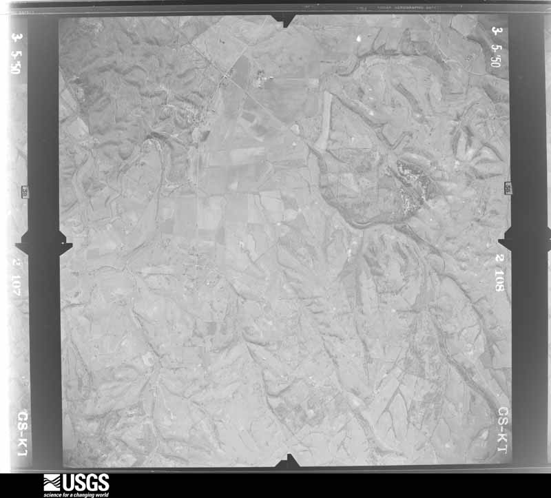
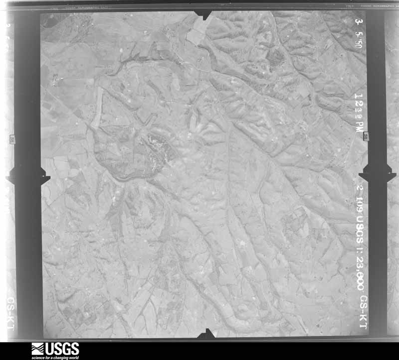
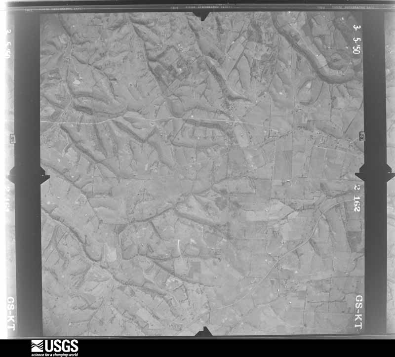
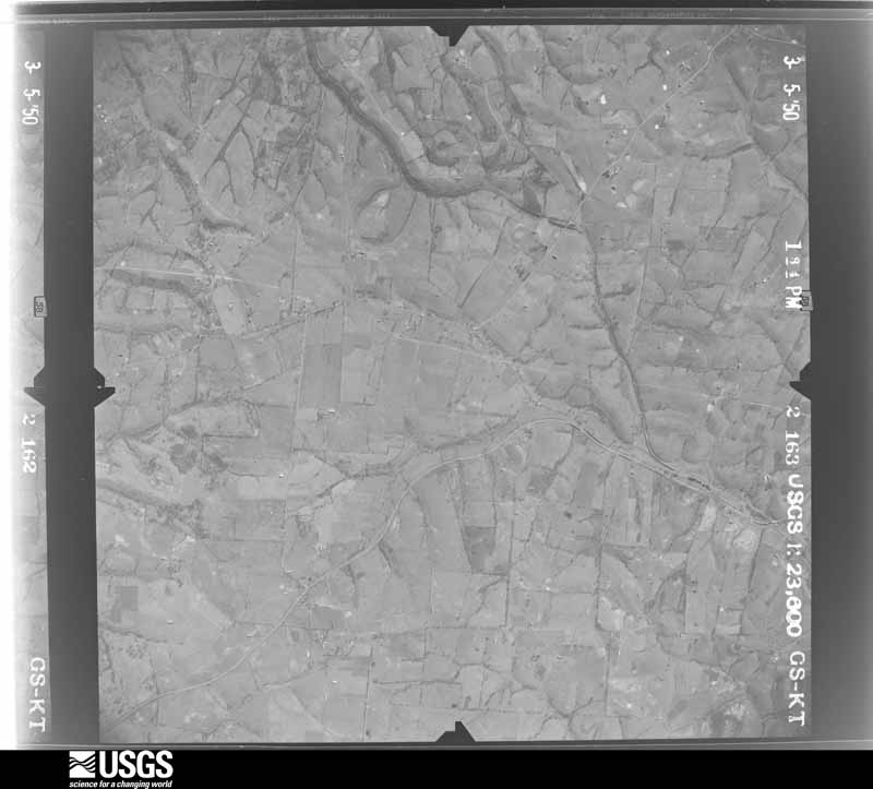
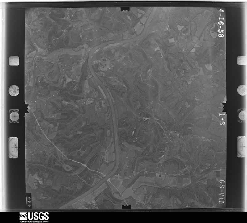
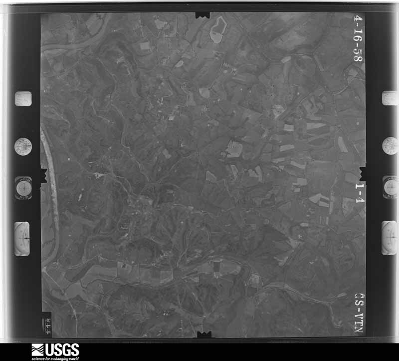
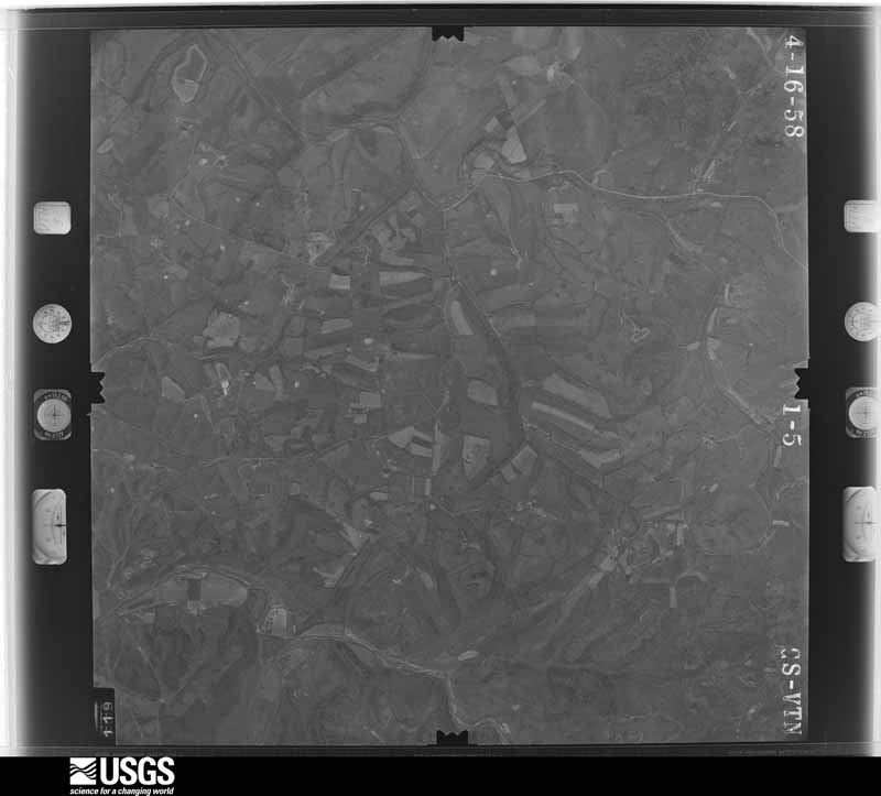
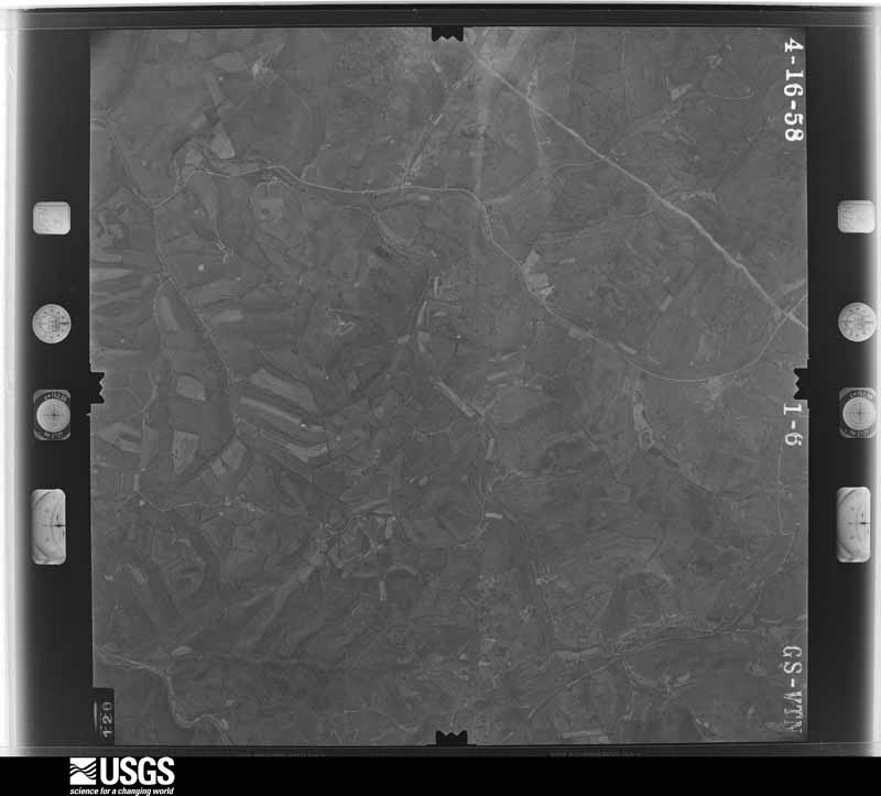
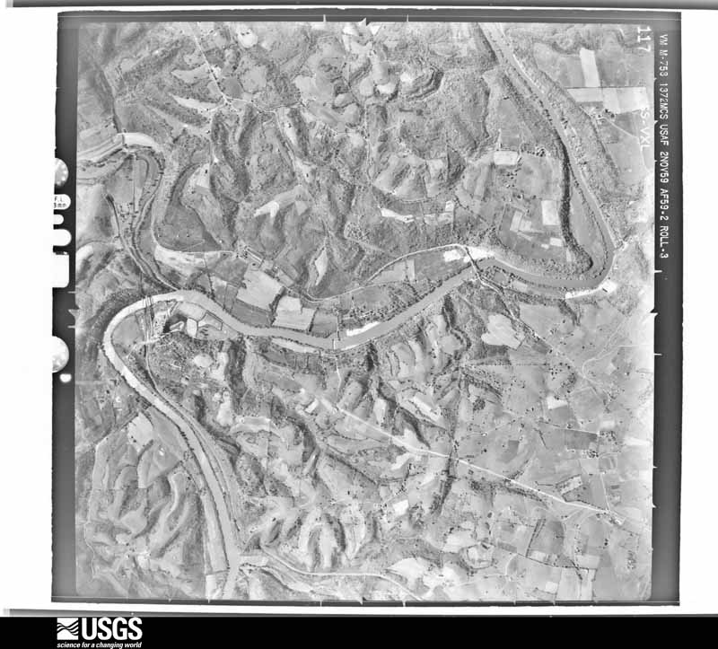
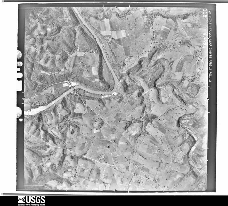
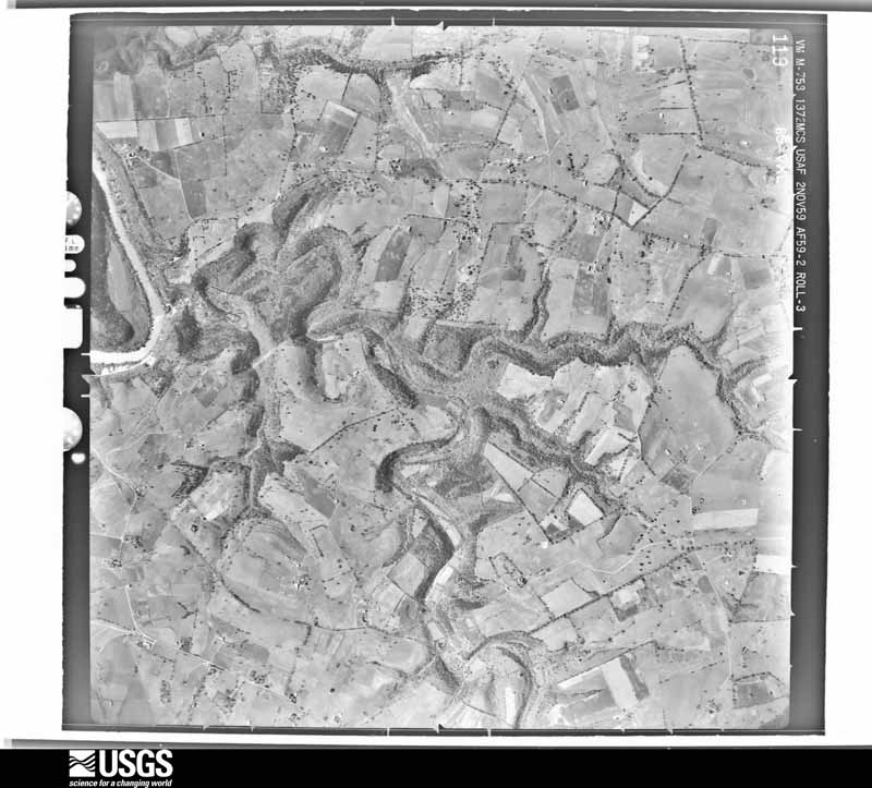
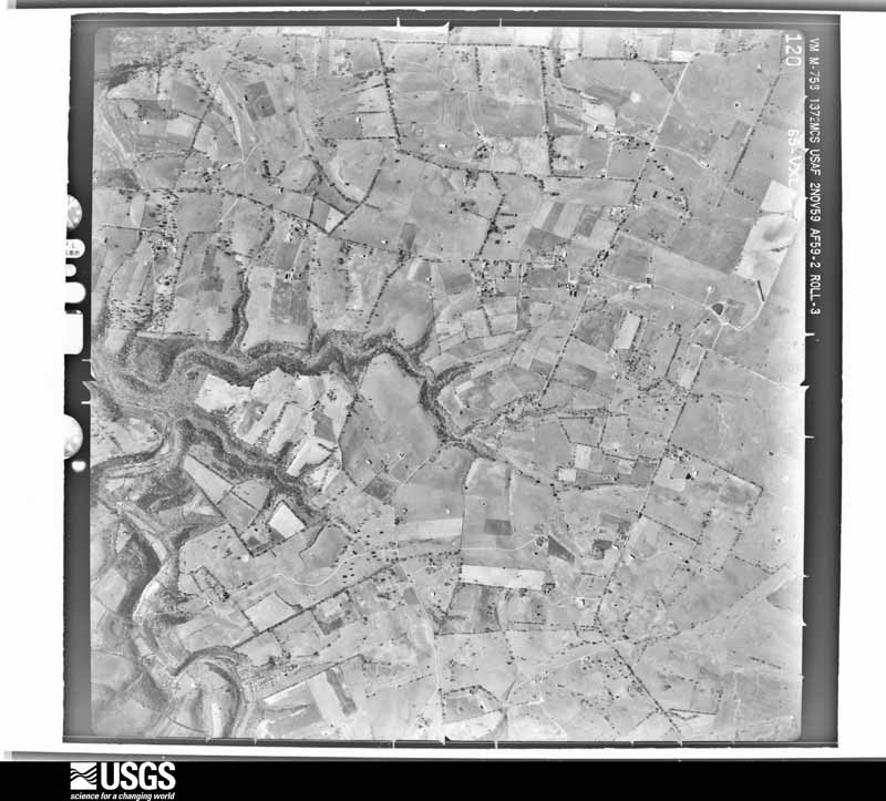
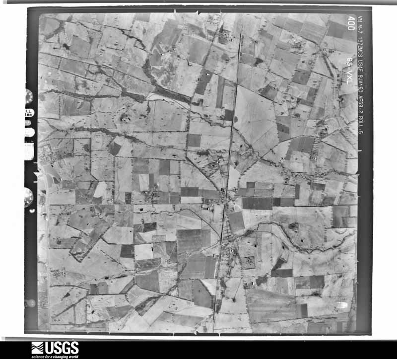
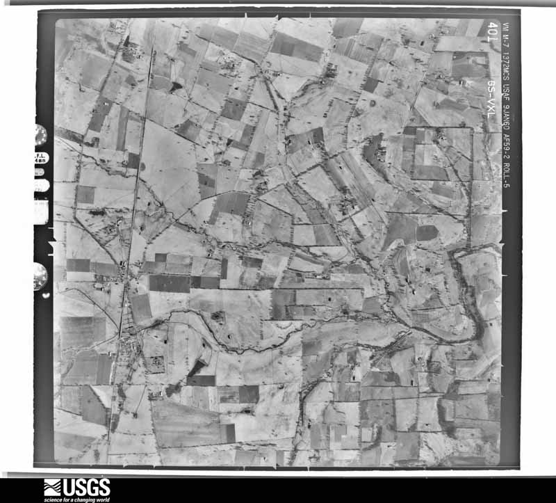
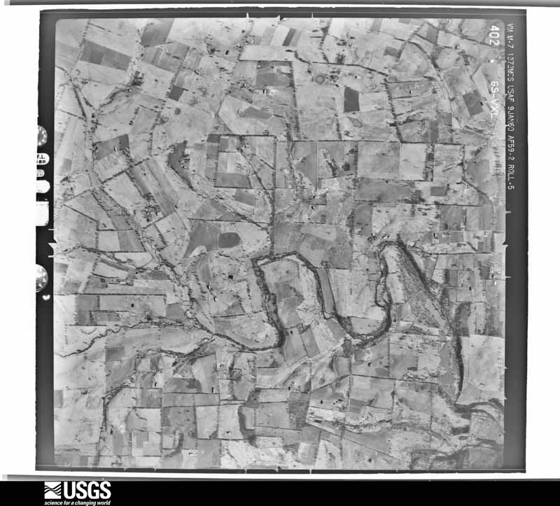
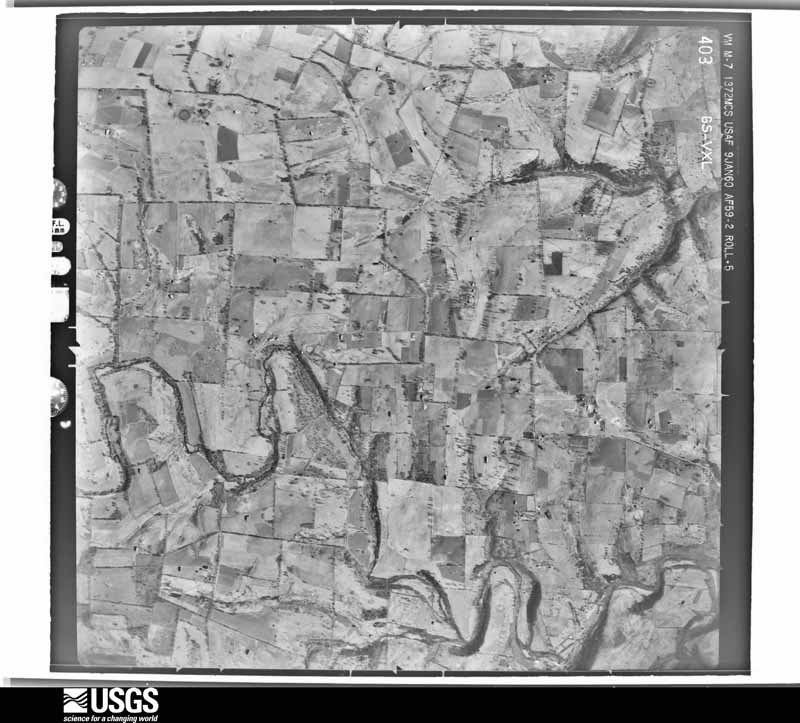
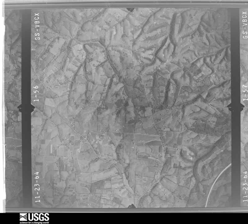
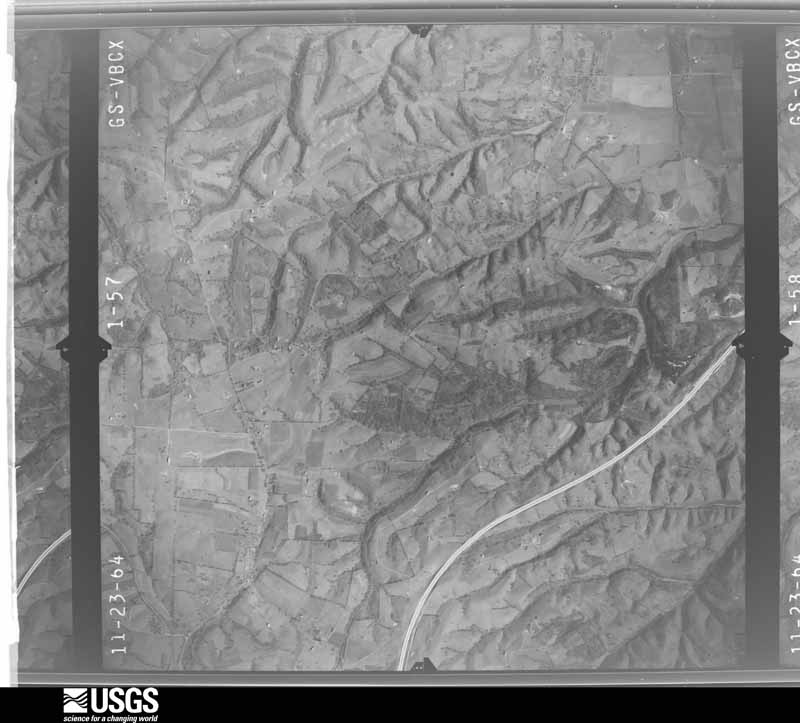
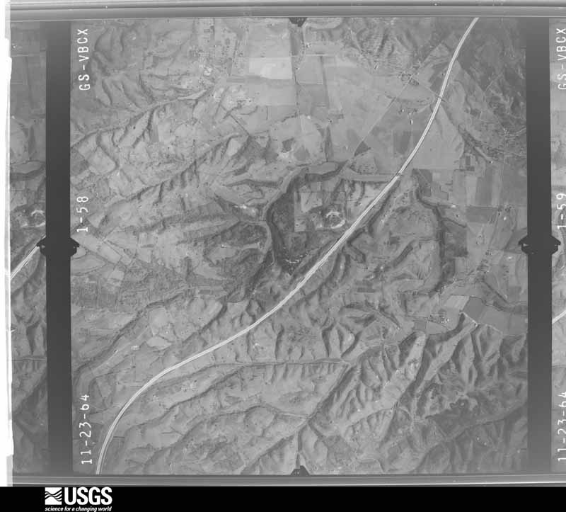
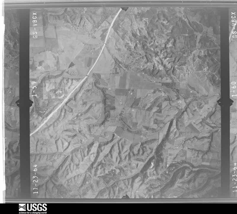
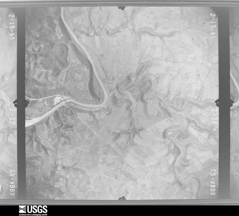
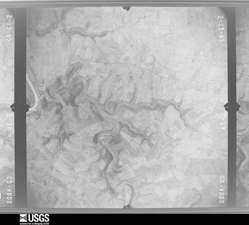
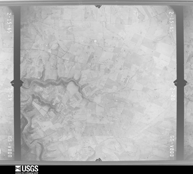
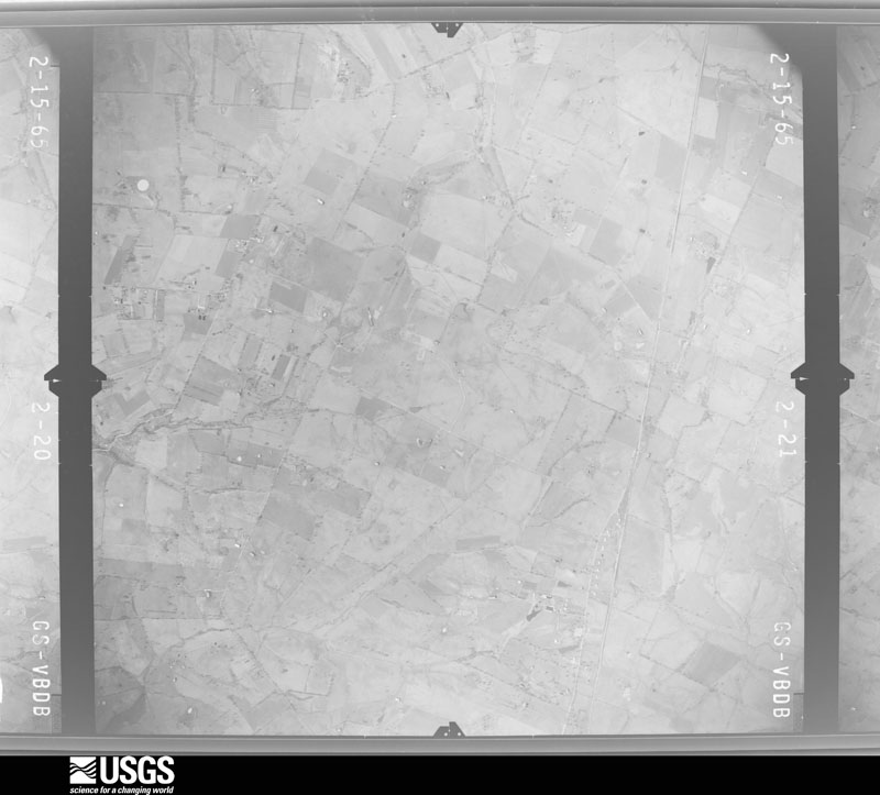
Flown by the U.S. Geological Survey between 1937 and 1989, the Aerial Photo Single Frames collection is the definitive mid-century view of the land: fields, roads and rivers as the camera saw them. The Survey holds 800 frames inside the rectangle that bounds this county; the 25 frames below were taken over the county itself, chosen across the decades of flights (at most four a year from that rectangle), so one flight cannot crowd out the rest. The full set is free to browse and download at EarthExplorer under the dataset Aerial Photo Single Frames.
The thermometers that kept this county's weather, as the federal records hold them. The extremes below are measured values from those records, not estimates.
Who lived here in 1950, one enumeration district at a time, as the Census Bureau described each district. Each row opens its official National Archives result, with Population Schedules and ED Maps available there.
Every wildfire the federal occurrence database records inside this county: 5 of them, burning about 17 acres. None started naturally and none was recorded as arson. Each settlement page carries the fires within five miles of it.
| Reported cause | Fires |
|---|---|
| Missing data/not specified/undetermined | 4 |
| Debris and open burning | 1 |
The five largest, by the area the report gives. None of them was recorded as arson.
| Date | Cause | Size | Reported by | Name on the report |
|---|---|---|---|---|
| 12 November 2005 | Missing data/not specified/undetermined | 6.0 acres | Kentucky Division of Forestry | not named |
| 22 July 2006 | Missing data/not specified/undetermined | 5.0 acres | Kentucky Division of Forestry | not named |
| 13 September 2007 | Missing data/not specified/undetermined | 3.0 acres | Kentucky Division of Forestry | not named |
| 9 November 2001 | Debris and open burning | 3.0 acres | Kentucky Division of Forestry | not named |
| 19 November 2017 | Missing data/not specified/undetermined | under an acre | Kentucky Division of Forestry | MT. MORIAH FIRE |
Every settlement page carries the fires within five miles of it - see the settlement index below.
The NOAA Storm Events Database holds 198 reports for this county, causing no deaths, 17 injuries and about $52,371,030 in recorded property damage. Each settlement page carries the reports that name it.
| Kind of event | Reports |
|---|---|
| Thunderstorm Wind | 131 |
| Flash Flood | 34 |
| Hail | 20 |
| Tornado | 7 |
| Flood | 3 |
| Lightning | 2 |
| Heavy Rain | 1 |
The most serious of them, by death, then injury, then recorded damage. The accounts are quoted exactly as the forecast office filed them.
| When | Event | Place named | Harm | What the report says |
|---|---|---|---|---|
| April 1974 | Tornado (F4) | not stated | 8 hurt | no account filed |
| June 1982 | Tornado (F2) | not stated | 4 hurt, $250,000 | no account filed |
| May 1995 | Thunderstorm Wind | Winchester | 3 hurt, $50,000,000 | The damage path was from Combs Ferry Road Northeast through the county. The roof off the Red Carpet Inn on West Lexington Avenue was blown off. Debris from the roof was thrown on Shoney's Restaurant and Hatfield Chrysler-Plymouth. Three workers at OHI America were injured when the roof collapsed. Three tractor-semitrailers were blown into a building. Also, there was extensive damage to homes and barns. Winds greater than 100 mph estimated. |
| March 1982 | Tornado (F2) | not stated | 1 hurt, $250,000 | no account filed |
| July 1991 | Thunderstorm Wind | not stated | 1 hurt | no account filed |
| April 2015 | Thunderstorm Wind | Winchester | $1,000,000 | Law enforcement reported several trees down in the county. The Clark County KY Mesonet observation recorded a 53 mph wind gust. |
| February 2008 | Tornado (EF0) | Wades Mill | $200,000 | The tornado destroyed two barns and caused substantial damage to three others. A house was damaged, and a corn crib was destroyed. Many trees were uprooted and a few were snapped. |
| February 2008 | Thunderstorm Wind | Right Angle | $150,000 | Thunderstorm winds destroyed several barns. Six cattle were killed. |
| May 2010 | Flood | Wyandotte | $100,000 | Six to eight inches of rain across Clark county May 1-2 led to areal flooding in spots across the county on the 2nd. |
| February 2008 | Thunderstorm Wind | Wades Mill | $100,000 | Thunderstorm winds damaged the roof of a house on Gay Evans Road. A barn was blown down on White Conkwright Road. Winds downed trees and power lines. One tree was downed on a car. |
| March 2008 | Thunderstorm Wind | Winchester Heliport | $100,000 | Thunderstorm winds damaged roofs along Interstate 64 in the western part of town. |
| April 2017 | Thunderstorm Wind | Winchester | $50,000 | The Clark County emergency manager reported power lines down in the area along with a tree on a house. |
| November 1993 | Thunderstorm Wind | not stated | $50,000 | Several outbuildings were damaged near Winchester. |
| July 2016 | Thunderstorm Wind | Winchester | $30,000 | Local law enforcement reported trees and power lines down in the area due to severe thunderstorm winds. |
| May 1996 | Thunderstorm Wind | Winchester | $25,000 | no account filed |
| November 2005 | Thunderstorm Wind | Winchester | $20,000 | The roof was blown off a house that was under construction. |
| May 1998 | Thunderstorm Wind | Winchester | $10,000 | no account filed |
| April 2008 | Flash Flood | Wyandotte | $7,000 | A woman was rescued from a car stranded in high water in the city of Winchester. |
| July 2021 | Flash Flood | Winchester | $5,000 | A vehicle got stuck in flood waters covering North Maple Street. Cost of damage is unknown. |
| February 2009 | Thunderstorm Wind | Winchester | $5,000 | Roof damage to a barn on Crow Ridge Road was reported. |
| January 1999 | Thunderstorm Wind | Countywide | $5,000 | Storage building destroyed, window blown out of pharmacy, trees down |
| May 1998 | Lightning | Winchester | $5,000 | An old opera house in the downtown area caught fire as lightning struck it. The roof and ceiling of the top floor were heavily damaged. |
| October 2001 | Thunderstorm Wind | Winchester | $5,000 | no account filed |
| October 2013 | Thunderstorm Wind | Winchester | $2,000 | A spotter reported that winds associated with a strong line of showers brought damage to his storm doors and his garage. In his neighborhood many large tree limbs were downed, causing power outages. Thirteen minutes earlier, just 3 miles northwest of Winchester, a Kentucky mesonet site recorded a wind gust of 57 mph. |
| May 1998 | Lightning | Winchester | $2,000 | Lightning struck a tree which then fell on a house damaging the roof. |
| August 1983 | Tornado (F0) | not stated | $30 | no account filed |
| April 2025 | Thunderstorm Wind | Winchester | - | There were multiple trees reported down around Winchester. |
| February 2024 | Thunderstorm Wind | Winchester | - | There were large tree limbs down near a home. |
| April 2024 | Tornado (EF1) | Becknerville | - | Tornado damage appeared to have started to a barn and some trees across a field from each other west of Combs Ferry Road. The tornado continued southeast towards homes on a family's property. Trees were downed here with some outfieldings' roofs damaged.|Residents of one home said a set of 2nd story windows popped out and fell to the ground. Another nearby resident said all the interior doors of their home opened up as the tornado passed by. A security camera video showed a white intense area of rainfall|moving across the property in an area where a row of trees ended up getting snapped. The tornado continued east southeastward toward a home near the intersection of Jones Nursery Road and Combs Ferry Road. The resident was in a nearby attached garage when it went through. He witnessed the rains going in one direction before the tornado hit and then switch quickly to a different direction behind it. One section of the main home's roof was completely taken off and thrown east southeast. The wind hit the west-facing garage doors flush, causing both doors to buckle but not collapse. The brick work in between the doors was buckled as well. No further damage was noted southeast of this property, so the tornado appeared to have lifted by this point. There were several trees downed on the south side of the tornado, likely with strong inflow winds. Jones Nursery Road had trees down all along the road, but most of the damage had been cleaned up before the survey occurred. |
| April 2024 | Tornado (EF1) | Renick | - | After exiting Bourbon County, the tornado continued southeast to a large property off the 6700 block of Paris Rd, in far north Clark County. The home had several older healthy trees near the home downed as well as a barn demolished. A very old|stone cabin downwind of the home escaped damage, likely because of the upstream trees and the home structure. Some additional tree damage occurred along Pretty Run Rd. The tornado last caused damage to a large new barn in Wades Mill area before lifting. In total, the EF1 tornado covered 13.44 miles after beginning near Bethlehem Road in Bourbon County and ending in Clark County. |
| May 2024 | Thunderstorm Wind | Winchester | - | Trees were blown down by strong winds onto cars at Winchester Country Club. |
| August 2024 | Thunderstorm Wind | Wyandotte | - | A large tree fell on Clintonville Road at Van Meter Road. |
| August 2024 | Thunderstorm Wind | Winchester | - | Social media reported that power lines were snapped near Taco Bell in Winchester. |
| August 2024 | Thunderstorm Wind | Winchester | - | There were multiple reports of tree damage and limbs down across portions of Clark County, including within the city of Winchester along Meadowbrook Drive. |
| April 2023 | Thunderstorm Wind | Wyandotte | - | A tree fell down on Clintonville Road near the Bourbon County line. |
| May 2023 | Thunderstorm Wind | Wades Mill | - | Trees were blown down by strong winds along Gay Evans Road. |
| July 2023 | Thunderstorm Wind | Wades Mill | - | Trees were blown down by strong winds along White Turley Pike and Wades Mill Road. |
| July 2023 | Thunderstorm Wind | Winchester | - | There were trees down over multiple roads. |
| July 2023 | Thunderstorm Wind | Forest Grove | - | There were multiple trees down. |
| May 2022 | Hail | Winchester Heliport | - | Ping pong ball-sized hail was observed near Winchester. |
| May 2022 | Thunderstorm Wind | Rabbit Town | - | Trees were blown down in rural portions of southeastern Clark County near the Powell County line. |
| May 2022 | Thunderstorm Wind | Trapp | - | Trees were blown down along Log Lick Road in rural portions of southeastern Clark County. |
| July 2022 | Thunderstorm Wind | Winchester | - | There were reports of trees down in Winchester. |
| June 2022 | Thunderstorm Wind | Renick | - | Roughly 20 trees were reported down in the county. Three transformer fires and numerous power outages were also reported. |
| July 2021 | Flash Flood | Winchester | - | There was water over multiple roadways. The 200 block of Shoppers Drive and Old Boonesboro Road were all closed. Two cars stalled in the flood waters. |
| October 2021 | Flash Flood | Winchester | - | The intersection of Broadway and Washington was closed due to flooding. |
| October 2021 | Flash Flood | Winchester Heliport | - | Ecton Road was closed due to flooding. |
| October 2021 | Flash Flood | Winchester | - | The emergency manager reported that roads were closed and water rescues were taking place. |
| October 2021 | Flash Flood | Hunt | - | A layer of asphalt was washed away on Creekside Lane. Four Mile Road was closed due to flood damage. |
| June 2021 | Thunderstorm Wind | Winchester | - | A tree fell down. |
| December 2021 | Thunderstorm Wind | Right Angle | - | A couple of trees had to be removed by the county road department around Trapp. |
| January 2020 | Thunderstorm Wind | Lisletown | - | Broadcast media showed pictures of barns flattened in the Boonesborough area. |
| May 2020 | Flash Flood | Ford | - | Four Mile Road was closed due to high water. |
| May 2020 | Flash Flood | Winchester | - | Boonesboro Road was closed due to high water. |
| May 2020 | Flash Flood | Bloomingdale | - | There were multiple closures along Red River Road due to high water. |
| June 2020 | Thunderstorm Wind | Wades Mill | - | Multiple trees and power lines were down along Pretty Run Road. |
| June 2020 | Thunderstorm Wind | Renick | - | A 77 mph wind gust was recorded at the KYMesonet site in Clark County. |
| June 2019 | Thunderstorm Wind | Winchester | - | Several trees were down across Clark County. |
| May 2018 | Thunderstorm Wind | Ruckerville | - | Trees were reported down on White Conkwright Road. |
| May 2018 | Thunderstorm Wind | Colby | - | Trees were blown down on Colby Road. |
Named settlements recorded in the Geographic Names Information System, each with the topographic sheets covering it. Villages, hamlets and abandoned places alike. Each is shown with the nearest named watercourse or landform and the survey quadrangle it falls on. The 1 place that was also surveyed for fire insurance comes first, with the number of atlases and photographs held for them.
Winchester census division · 40391 · Winchester quadrangle
17 sheets, 1892 to 1991
Fire insurance: 8 atlases
Southeast Clark census division · 40391 · On Dry Fork · Winchester quadrangle
17 sheets, 1892 to 1991
No longer a settlement
Winchester census division · 40391 · On Constant Creek · Austerlitz quadrangle
7 sheets, 1952 to 1986
Southeast Clark census division · 40391 · On Dry Fork · Winchester quadrangle
17 sheets, 1892 to 1991
Winchester census division · 40391 · On Constant Creek · Austerlitz quadrangle
7 sheets, 1952 to 1986
Winchester census division · 40391 · On Georges Branch · Sideview quadrangle
7 sheets, 1952 to 1986
No longer a settlement
Southeast Clark census division · 40391 · On Fourmile Creek · Union City quadrangle
16 sheets, 1892 to 1991
No longer a settlement
Southeast Clark census division · 40391 · On Red River · Palmer quadrangle
15 sheets, 1892 to 1991
No longer a settlement
Winchester census division · 40391 · Near Spring Hill · Ford quadrangle
15 sheets, 1892 to 1991
Winchester census division · 40391 · On Constant Creek · Austerlitz quadrangle
7 sheets, 1952 to 1986
No longer a settlement
Southeast Clark census division · 40391 · On Cotton Creek · Palmer quadrangle
15 sheets, 1892 to 1991
No longer a settlement
Winchester census division · 40391 · Austerlitz quadrangle
7 sheets, 1952 to 1986
No longer a settlement
Southeast Clark census division · 40391 · On Log Lick Creek · Palmer quadrangle
15 sheets, 1892 to 1991
No longer a settlement
Ford-Boonesborough census division · 40391 · On Otter Creek · Ford quadrangle
15 sheets, 1892 to 1991
Ford-Boonesborough census division · 40391 · Winchester quadrangle
17 sheets, 1892 to 1991
Winchester census division · 40391 · On Constant Creek · Austerlitz quadrangle
7 sheets, 1952 to 1986
No longer a settlement
Winchester census division · 40391 · On Constant Creek · Austerlitz quadrangle
7 sheets, 1952 to 1986
40391 · Near Sugar Ridge · Sideview quadrangle
7 sheets, 1952 to 1986
No longer a settlement
Winchester census division · 40391 · Winchester quadrangle
17 sheets, 1892 to 1991
No longer a settlement
Southeast Clark census division · 40391 · Near Crow Ridge · Hedges quadrangle
15 sheets, 1892 to 1991
Winchester census division · 40391 · Winchester quadrangle
17 sheets, 1892 to 1991
Winchester census division · 40391 · Winchester quadrangle
17 sheets, 1892 to 1991
No longer a settlement
Southeast Clark census division · 40391 · Near Pleasant Ridge · Winchester quadrangle
17 sheets, 1892 to 1991
No longer a settlement
Winchester census division · 40391 · On Georges Branch · Hedges quadrangle
15 sheets, 1892 to 1991
Ford-Boonesborough census division · 40391 · Near Bush Hollow · Ford quadrangle
15 sheets, 1892 to 1991
Southeast Clark census division · 40391 · On Long Branch · Winchester quadrangle
17 sheets, 1892 to 1991
Ford-Boonesborough census division · 40391 · On Fourmile Creek · Winchester quadrangle
17 sheets, 1892 to 1991
No longer a settlement
Winchester census division · 40391 · On Constant Creek · Austerlitz quadrangle
7 sheets, 1952 to 1986
No longer a settlement
Winchester census division · 40391 · On Combs Branch · Levee quadrangle
12 sheets, 1892 to 1982
Winchester census division · 40391 · On Georges Branch · Sideview quadrangle
7 sheets, 1952 to 1986
Ford-Boonesborough census division · 40391 · On Lower Howard Creek · Ford quadrangle
15 sheets, 1892 to 1991
Southeast Clark census division · 40391 · On Long Branch · Palmer quadrangle
15 sheets, 1892 to 1991
Winchester census division · 40391 · On Constant Creek · Austerlitz quadrangle
7 sheets, 1952 to 1986
Southeast Clark census division · 40391 · On Kings Fork · Hedges quadrangle
15 sheets, 1892 to 1991
No longer a settlement
Southeast Clark census division · 40391 · Near Dumford Hollow · Palmer quadrangle
15 sheets, 1892 to 1991
Winchester census division · 40391 · On Little Stoner Creek · Sideview quadrangle
7 sheets, 1952 to 1986
Winchester census division · 40391 · On Indian Old Fields Branch · Levee quadrangle
12 sheets, 1892 to 1982
No longer a settlement
Southeast Clark census division · 40391 · On Harris Branch · Winchester quadrangle
17 sheets, 1892 to 1991
No longer a settlement
Southeast Clark census division · 40391 · Near Pleasant Ridge · Hedges quadrangle
15 sheets, 1892 to 1991
Southeast Clark census division · 40391 · On East Fork Fourmile Creek · Winchester quadrangle
17 sheets, 1892 to 1991
Ford-Boonesborough census division · 40391 · Clintonville quadrangle
11 sheets, 1927 to 1986
Southeast Clark census division · 40391 · On Pine Ridge · Palmer quadrangle
15 sheets, 1892 to 1991
No longer a settlement
Winchester census division · 40391 · On Woodruff Creek · Austerlitz quadrangle
7 sheets, 1952 to 1986
No longer a settlement
Ford-Boonesborough census division · 40391 · On West Fork Lower Howard Creek · Winchester quadrangle
17 sheets, 1892 to 1991
No longer a settlement
Southeast Clark census division · 40391 · Near Crow Ridge · Hedges quadrangle
15 sheets, 1892 to 1991
Winchester census division · 40391 · On Hancock Creek · Austerlitz quadrangle
7 sheets, 1952 to 1986
Southeast Clark census division · 40391 · Near Crow Ridge · Hedges quadrangle
15 sheets, 1892 to 1991
Winchester census division · 40391 · Near Spring Hill · Austerlitz quadrangle
7 sheets, 1952 to 1986
No longer a settlement
Southeast Clark census division · 40391 · Near Rose Hill · Hedges quadrangle
15 sheets, 1892 to 1991
Winchester census division · 40391 · Winchester quadrangle
17 sheets, 1892 to 1991
No longer a settlement
Winchester census division · 40391 · Near Sugar Ridge · Sideview quadrangle
7 sheets, 1952 to 1986
Winchester census division · 40391 · On Constant Creek · Austerlitz quadrangle
7 sheets, 1952 to 1986
No longer a settlement
Winchester census division · 40391 · Austerlitz quadrangle
7 sheets, 1952 to 1986
No longer a settlement
Southeast Clark census division · 40391 · On Kings Fork · Hedges quadrangle
15 sheets, 1892 to 1991
No longer a settlement
Winchester census division · 40391 · Near Sugar Ridge · Sideview quadrangle
7 sheets, 1952 to 1986
Southeast Clark census division · 40391 · On Kings Fork · Hedges quadrangle
15 sheets, 1892 to 1991
Winchester census division · 40391 · Clintonville quadrangle
11 sheets, 1927 to 1986
No longer a settlement
Southeast Clark census division · 40391 · On Log Lick Creek · Palmer quadrangle
15 sheets, 1892 to 1991
Winchester census division · 40391 · On Constant Creek · Austerlitz quadrangle
7 sheets, 1952 to 1986
No longer a settlement
Winchester census division · 40391 · Clintonville quadrangle
11 sheets, 1927 to 1986
No longer a settlement
Winchester census division · 40391 · Clintonville quadrangle
11 sheets, 1927 to 1986
No longer a settlement
The vanished settlements of Clark County: the places named above that are no longer on the map.
17 topographic sheets and 8 fire insurance atlases, 1886 to 1946
The complete index, with nothing left out. Each of these is a separate record with its own page: a federal survey report, or the case file that argued a property on to the National Register. Both are public domain and reproduced word for word.
The vanished settlements of Clark County, the places these records name that are no longer on the map.