 Block
Riverside Gardens, Kentucky
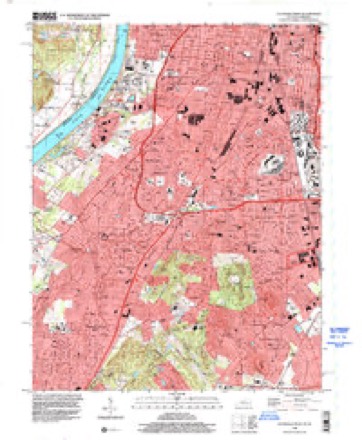
18 topographic sheets cover this place, the earliest surveyed in 1909 and the latest in 1998. It stands in the North Dixie census division. It lies in ZIP code area 40216. It stands on Mill Creek Cutoff. The Survey maps it on the Louisville West quadrangle.
Topographic sheets covering this place
11 surveys from 18 printed sheetsMatched by testing this settlement's coordinate against the published boundary of every sheet in the United States Geological Survey's historical collection. Each opens the scanned sheet at the Survey.
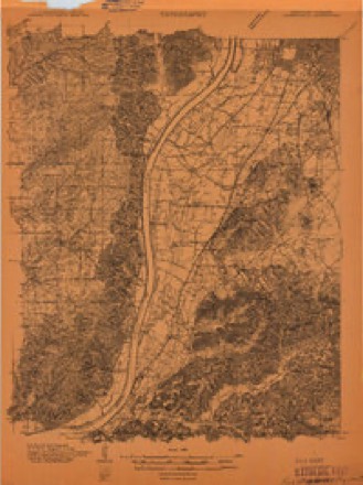
- 1909 USGS Kosmosdale quadrangle1:48000
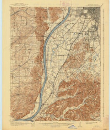
- 1912 USGS Kosmosdale quadrangle1:62500, 4 printings
- 1950 USGS Kosmosdale quadrangle1:62500
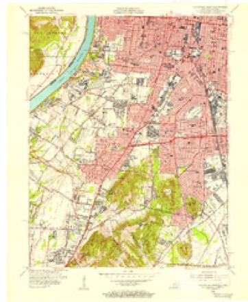
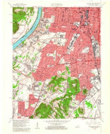
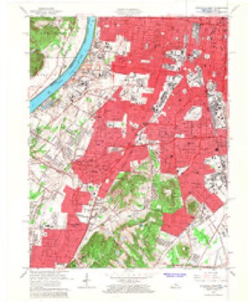
- 1955 USGS Louisville West quadrangle1:24000
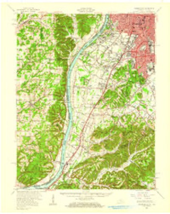
- 1956 USGS Louisville quadrangle1:250000, 2 printings
- 1960 USGS Louisville West quadrangle1:24000
- 1964 USGS Louisville quadrangle1:250000
- 1965 USGS Louisville West quadrangle1:24000
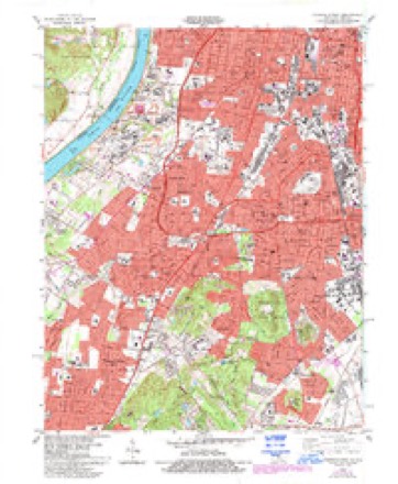
- 1983 USGS Louisville West quadrangle1:24000, 3 printings
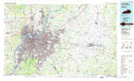
- 1986 USGS Louisville quadrangle1:100000, 2 printings
- 1998 USGS Louisville West quadrangle1:24000


Mines and quarries near this place
1 within 5 milesRegional context, not property-specific evidence. The federal mineral resources record lists 1 working within 5 miles of Riverside Gardens: 1 producer. All of them still produce. What was taken out: Sand and Gravel, Construction. Distance is straight-line from the map coordinates, so a quarry counted here may appear on a neighbouring settlement's page as well.
| Where | Site | Commodity | Status | Recorded |
|---|---|---|---|---|
| Neely Pit No. 2 | Sand and Gravel, Construction | Producer |
Storms near this place
6 since 2008Regional context, not property-specific evidence. The National Weather Service names Riverside Gardens in 6 storm reports between 2008 and 2023: 3 thunderstorm wind, 2 flood, 1 tornado. No death or injury is recorded in these reports. Each account below is quoted exactly as the forecast office filed it, from the NOAA Storm Events Database, and each date opens the federal record of that event.
| When | Event | Place named | Harm | What the report says |
|---|---|---|---|---|
| May 2023 | Tornado (EF0) | Riverside Gardens | - | The tornado touched down at the Sporting Club at the Farm in Floyd County, Indiana before it traveled a short distance and cross the river into Kentucky. The tornado entered Kentucky in the Lake Dreamland area of West Louisville in western Jefferson County. Significant tree damage was observed along River Front Drive and continued along Kale Dreamland Road where several hardwood trees were snapped or uprooted, along with many large branches down. | The tornado continued along Kramers Lane toward Van Winkle Drive, where damage appeared to be sparser with large branches down in some isolated areas. Very isolated areas of large branches down continued through the Heatherfield and St. Dennis neighborhoods (and across I-264 Watterson Expressway) and toward the Louisville |Memorial Gardens. Along Lynn Lea Road, the tornado regained strength and continued through homes along Kendall Lane west of 31W Dixie Highway. Trees were snapped heading on the east side of Hunters Trace neighborhood. Significant tree damage was observed along Malcolm Road just north of Gagel Avenue. Several hardwood trees were uprooted or snapped with damage consistent with 94 mph winds in this location. No visible damage was observed to the southeast beyond Gagel Avenue where the tornado ended. |
| June 2019 | Thunderstorm Wind | Riverside Gardens | - | ASOS reported a 56 mph wind gust at Louisville International Airport. |
| February 2018 | Flood | Riverside Gardens | - | State Road 111 flooded in several areas. |
| July 2014 | Thunderstorm Wind | Riverside Gardens | - | The Jefferson County emergency manager relayed a report of a couple of trees toppled in western Louisville near the Ohio River. |
| May 2011 | Flood | Riverside Gardens | - | The Ohio River below Louisville had crested around 62.9 feet on April 27. |
| February 2008 | Thunderstorm Wind | Riverside Gardens | - | Thunderstorm winds downed power lines along Cane Run Road at New Lynview. |
Nearest settlements
The eight closest, with where each one stands in the county. Distances are straight-line, computed from the Geographic Names Information System coordinates.
| Map | Place | Distance | Sheets |
|---|---|---|---|
| Mill Creek | 1.0 miles | 18 | |
| Saint Dennis | 1.4 miles | 18 | |
| Saint Denis | 2.2 miles | 18 | |
| Sylvania | 2.4 miles | 18 | |
| Heatherfield | 2.5 miles | 18 | |
| Shively | 2.7 miles | 18 | |
| Hunters Trace | 2.8 miles | 18 | |
| Pleasure Ridge Park | 3.3 miles | 18 |
Provenance
This settlement is recorded in the Geographic Names Information System as feature 501993. The sheet list is computed by point-in-boundary test against the United States Geological Survey's historical topographic inventory. Both are works of the United States government and carry no copyright under 17 U.S.C. 105.
Mines and quarries. USGS Mineral Resources Data System (MRDS) https://mrdata.usgs.gov/mrds/ A work of the United States government, no copyright under 17 U.S.C. 105.
Storms. NOAA National Centers for Environmental Information, Storm Events Database https://www.ncei.noaa.gov/stormevents/ A work of the United States government, no copyright under 17 U.S.C. 105. Narratives are quoted verbatim from the National Weather Service report and are not edited or summarised.