 Block
Sharkey, Kentucky
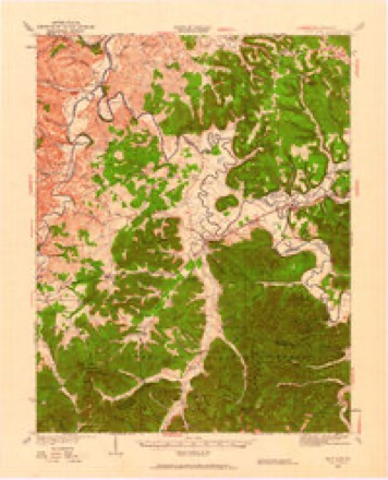
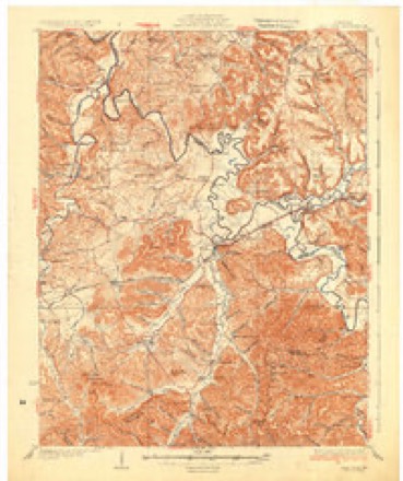
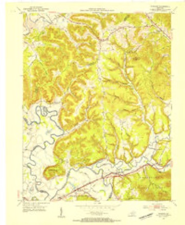
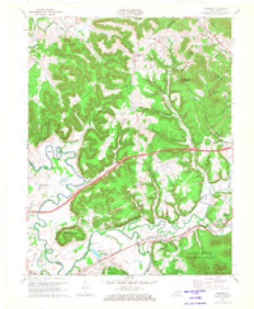
11 topographic sheets cover this place, the earliest surveyed in 1929 and the latest in 1982. It lies in ZIP code area 40351. It lies near Boone Hollow. The Survey maps it on the Farmers quadrangle.
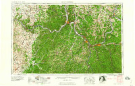
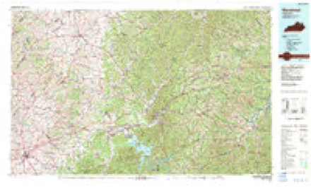
Topographic sheets covering this place
7 surveys from 11 printed sheetsMatched by testing this settlement's coordinate against the published boundary of every sheet in the United States Geological Survey's historical collection. Each opens the scanned sheet at the Survey.
- 1929 USGS Salt Lick quadrangle1:62500
- 1934 USGS Salt Lick quadrangle1:62500
- 1953 USGS Farmers quadrangle1:24000, 2 printings
- 1957 USGS Huntington quadrangle1:250000, 3 printings
- 1960 USGS Huntington quadrangle1:250000
- 1970 USGS Farmers quadrangle1:24000, 2 printings
- 1982 USGS Morehead quadrangle1:100000
Fires near this place
61 since 1995Regional context, not property-specific evidence. The federal wildfire occurrence database lists 61 fires within 5 miles of Sharkey between 1995 and 2020, burning about 451 acres in total. None started naturally. 6 were recorded as arson. Distance is straight-line from the map coordinates, so a fire counted here may appear on a neighbouring settlement's page as well.
| Reported cause | Fires |
|---|---|
| Debris and open burning | 23 |
| Missing data/not specified/undetermined | 22 |
| Recreation and ceremony | 7 |
| Arson/incendiarism | 6 |
| Misuse of fire by a minor | 2 |
| Smoking | 1 |
The most recent of them, most recent first, with the day each was reported and the service that recorded it.
| Date | Cause | Size | Reported by | Name on the report |
|---|---|---|---|---|
| 22 September 2019 | Debris and open burning | 1.0 acres | Kentucky Division of Forestry | BRATTON BRANCH |
| 7 August 1999 | Recreation and ceremony | 5.0 acres | Kentucky Division of Forestry | not named |
| 22 August 1999 | Arson/incendiarism | 1.0 acres | Kentucky Division of Forestry | not named |
| 11 August 2002 | Debris and open burning | 2.0 acres | Kentucky Division of Forestry | not named |
| 9 April 1999 | Debris and open burning | 1.0 acres | Kentucky Division of Forestry | not named |
| 5 April 2013 | Missing data/not specified/undetermined | under an acre | Kentucky Division of Forestry | EXIT 133 |
| 3 April 2013 | Debris and open burning | 3.5 acres | Kentucky Division of Forestry | COLFAX RD |
| 3 April 2010 | Misuse of fire by a minor | 1.0 acres | Kentucky Division of Forestry | not named |
Settlements close enough to share some of these fires:
Mines and quarries near this place
2 within 5 milesRegional context, not property-specific evidence. The federal mineral resources record lists 2 workings within 5 miles of Sharkey: 2 prospects. None of them still produces. What was taken out: Clay. Distance is straight-line from the map coordinates, so a quarry counted here may appear on a neighbouring settlement's page as well.
| Where | Site | Commodity | Status | Recorded |
|---|---|---|---|---|
| Eastside Roadcut Clay Bed | Clay | Prospect | ||
| Ellitoville Gully | Clay | Prospect |
Storms near this place
10 since 2004Regional context, not property-specific evidence. The National Weather Service names Sharkey in 10 storm reports between 2004 and 2024: 7 thunderstorm wind, 1 hail, 1 flood, 1 flash flood. The reports record 1 death. Each account below is quoted exactly as the forecast office filed it, from the NOAA Storm Events Database, and each date opens the federal record of that event.
| When | Event | Place named | Harm | What the report says |
|---|---|---|---|---|
| May 2022 | Flash Flood | Sharkey | 1 killed | According to an article from LEX18 news in Lexington: Kentucky State Police say they were first called out in reference to a drowning on Bullfork Road in Rowan County. They say an 80-year-old man tried to cross a swollen tributary in a utility vehicle. He got out of the vehicle and tried to get to the other side of the tributary. While crossing, troops say he was swept away in the current. He was rescued and taken to the regional medical center, where he was pronounced dead. |
| April 2024 | Thunderstorm Wind | Sharkey | $25,000 | A house on the west side of Shawnee Drive, near the intersection with KY-158, sustained considerable damage when strong easterly winds struck the chimney on the southwest side. The chimney collapsed into the roof structure, losing it's stone faade. In addition, a metal garage (located on the north side of the house) sustained damage to the east facing large garage door. The garage door had been removed at time of survey. Meanwhile, the house next door (north of above-mentioned house/west side of the street) received siding damage to the south-facing side of the house, and had it's AC unit flipped over on the same side. The house across the street also sustained a broken window, and missing shingles/flashing. |
| April 2024 | Thunderstorm Wind | Sharkey | $10,000 | Several points of damage located along KY-158 just past Shawnee Drive. A wooden barn had it's barn door broken, along with peeling roof panels. A large hardwood tree was also uprooted on the property. Across the street, to the south, a house lost it's downspout. The County EM also informed that another house in this vicinity lost a front porch column in the storm, but it had since been put back in place. |
| April 2024 | Thunderstorm Wind | Sharkey | $10,000 | A metal barn/garage located on KY-158 near Flemingsburg Road sustained wind damage. Metal sheets from the barn were throw eastward, including roofing, flashing, and side panels. |
| April 2024 | Thunderstorm Wind | Sharkey | $10,000 | A metal barn behind a house on Shawnee Drive had a door and panels blown out on the north side. The team was unable to see the remainder of the back of the barn from their location. It also appeared as though the house, located east of the barn, had some windows blown out on the garage doors, however it is unclear if the damage occurred from the storm. |
| July 2004 | Thunderstorm Wind | Sharkey | $5,000 | A tin roof blew off of a horse barn. Several trees were down on Highway 158. |
| April 2024 | Thunderstorm Wind | Sharkey | $2,000 | A house on the east side of Shawnee Drive sustained minor damage, with the flashing being removed from the front westward facing side, as well as the south side of a house. The team was unable to see the backside of the house for any additional damage. |
| April 2024 | Thunderstorm Wind | Sharkey | - | Multiple trees were downed along KY-58, between Derrickson Road and Parker Lane, facing eastward. |
| May 2010 | Flood | Sharkey | - | Streams were over roads and bridges in Morehead. |
| July 2007 | Hail | Sharkey | - | Quarter size hail reported on Highway 801 near the Rowan/Fleming county line. |
Nearest settlements
The eight closest, with where each one stands in the county. Distances are straight-line, computed from the Geographic Names Information System coordinates.
| Map | Place | Distance | Sheets |
|---|---|---|---|
| Hilda | 2.8 miles | 11 | |
| Ramey | 3.6 miles | 11 | |
| Smile | 4.1 miles | 8 | |
| Big Brushy (historical) | 4.2 miles | 8 | |
| Slatey (historical) | 6.1 miles | 11 | |
| Farmers | 6.1 miles | 11 | |
| Bluestone | 6.2 miles | 11 | |
| Lakeview Heights | 6.2 miles | 11 |
Elsewhere
Matched on this settlement's Geographic Names Information System number rather than its name, so it cannot be a different place of the same name in another state.
| Wikipedia article on Sharkey | An encyclopaedic summary. Its text is share-alike, so it is linked here rather than copied. |
| Wikidata item Q7489846 | The structured record the population and elevation above come from. Public domain (CC0). |
Provenance
This settlement is recorded in the Geographic Names Information System as feature 515337. The sheet list is computed by point-in-boundary test against the United States Geological Survey's historical topographic inventory. Both are works of the United States government and carry no copyright under 17 U.S.C. 105.
Wildfire. Short, Karen C. 2022. Spatial wildfire occurrence data for the United States, 1992-2020 [FPA_FOD_20221014]. 6th Edition. Fort Collins, CO: Forest Service Research Data Archive. https://doi.org/10.2737/RDS-2013-0009.6 Collected with United States Government funding and usable without additional permissions or fees.
Mines and quarries. USGS Mineral Resources Data System (MRDS) https://mrdata.usgs.gov/mrds/ A work of the United States government, no copyright under 17 U.S.C. 105.
Storms. NOAA National Centers for Environmental Information, Storm Events Database https://www.ncei.noaa.gov/stormevents/ A work of the United States government, no copyright under 17 U.S.C. 105. Narratives are quoted verbatim from the National Weather Service report and are not edited or summarised.