 Block
From the record
14 National Register listings published here.
Sources: the National Register database, National Park Service
34 topographic sheets and 4 fire insurance atlases across 1 place.
14 National Register listings published here.
Sources: the National Register database, National Park Service
Taken for the Office of War Information and the Farm Security Administration, who photographed the country between 1935 and 1944. Works of United States government photographers, with no known restriction on use. Each opens its catalogue record.


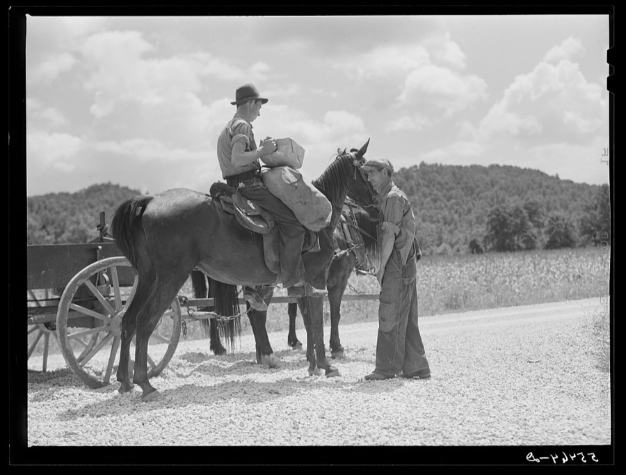
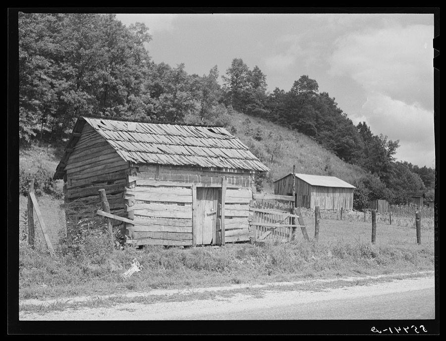










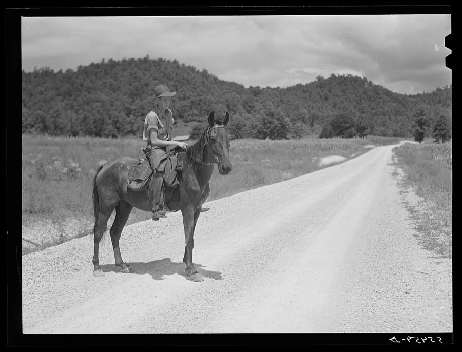
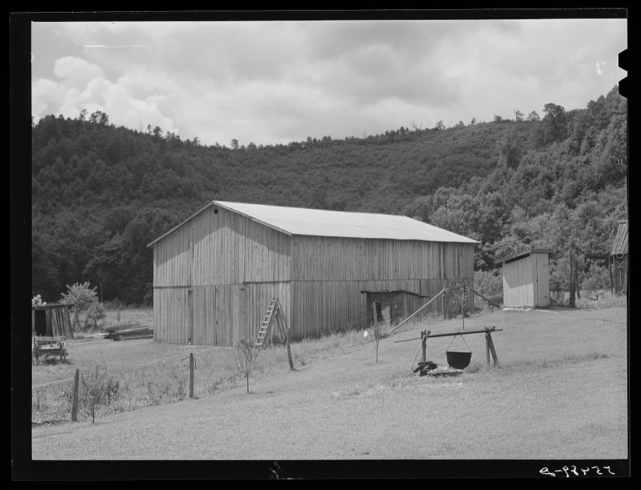


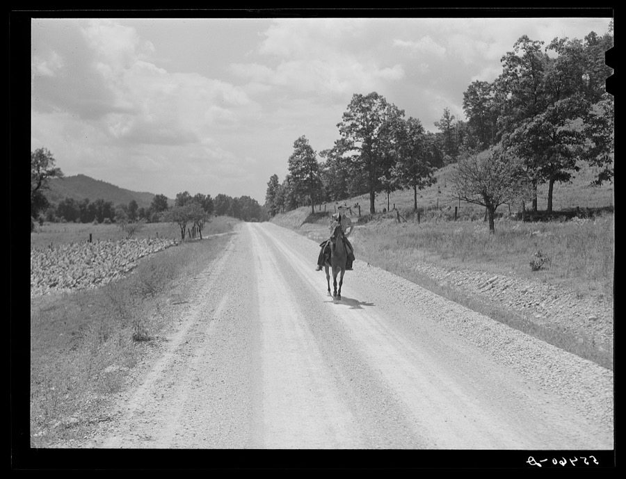

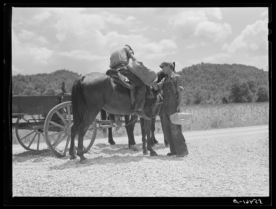
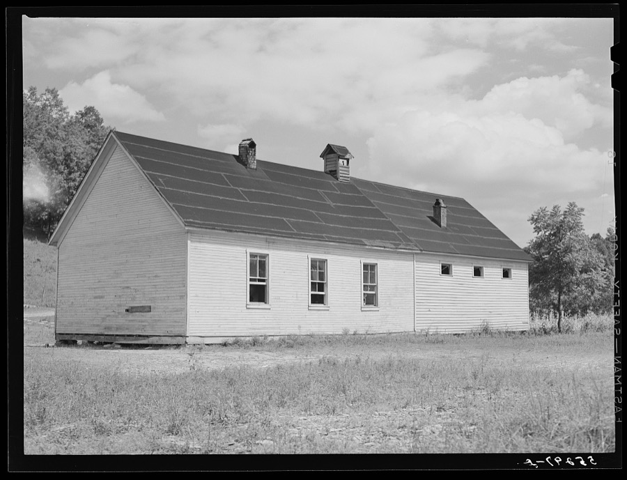

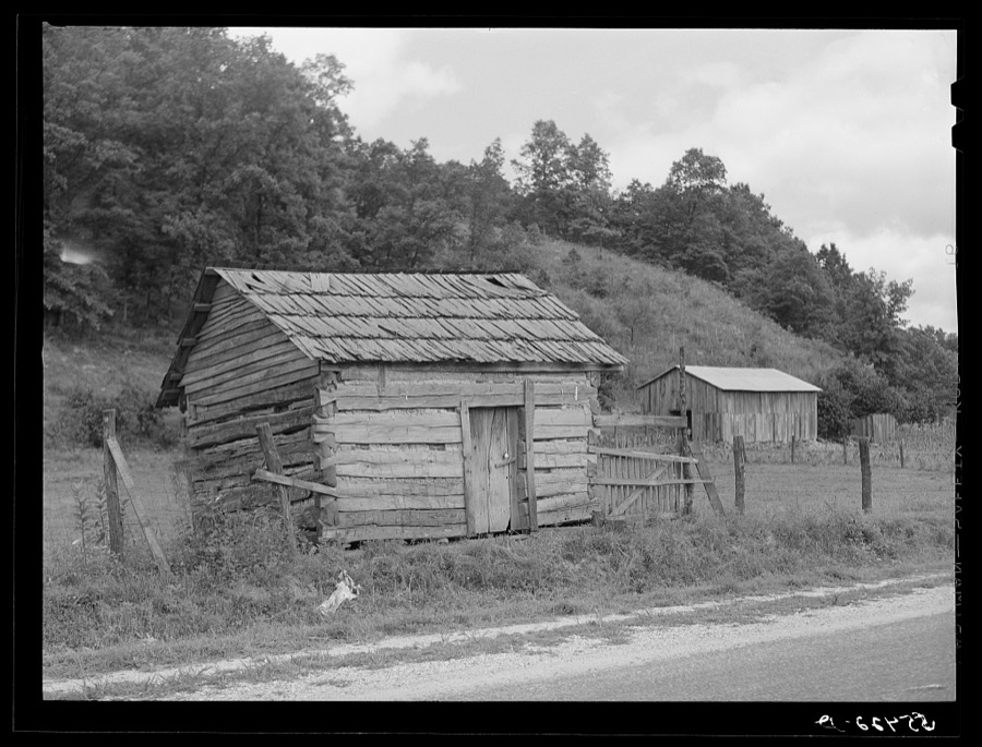
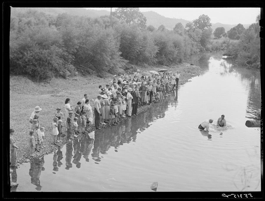
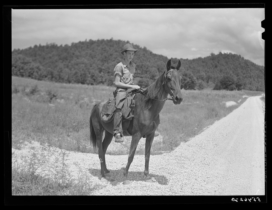


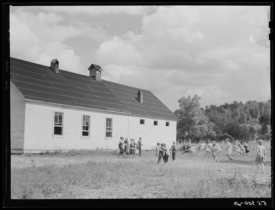
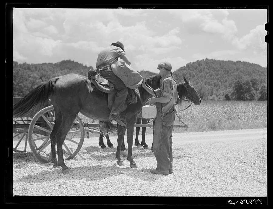

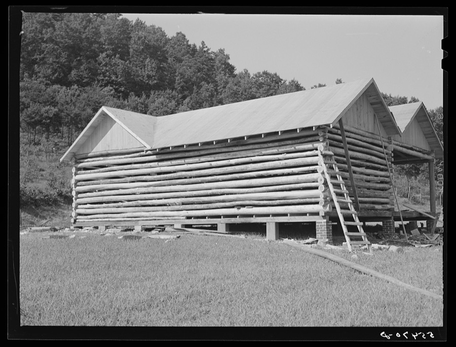



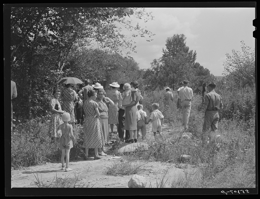
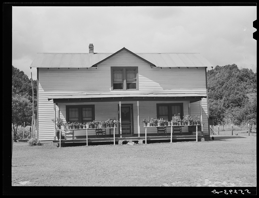

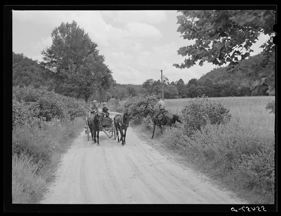
Every property in this county listed on the National Register of Historic Places, with the year it was listed and the federal nomination document.
| Photograph | Property | Type | Listed | Reference |
|---|---|---|---|---|
| Brushy Voting House No. 6 | building | 1998 | 98000340 | |
| Cranston Voting House No. 12 | building | 1998 | 98000344 | |
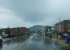 | Downtown Morehead Historic District | district | 2022 | 100006264 |
| Farmers Voting House No. 2 | building | 1998 | 98000337 | |
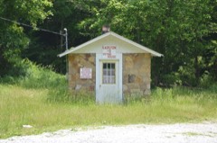 | Haldeman Voting House No. 8 | building | 1998 | 98000342 |
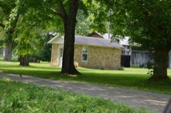 | Hayes Voting House No. 16 | building | 1998 | 98000346 |
| Hogtown Voting House No. 4 | building | 1998 | 98000338 | |
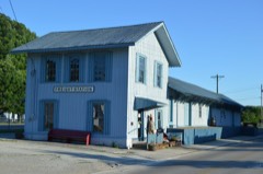 | Morehead Chesapeake and Ohio Railway Freight Depot | building | 2016 | 16000013 |
 | Morehead State University | district | 1994 | 94001381 |
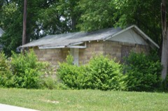 | Morehead Voting House No. 10 | building | 1998 | 98000343 |
| Morehead Voting House No. 7 | building | 1998 | 98000341 | |
| Pine Grove Voting House No. 5 | building | 1998 | 98000339 | |
| Plank Voting House No. 15 | building | 1998 | 98000345 | |
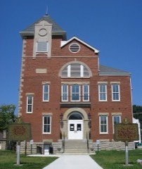 | Rowan County Courthouse | building | 2017 | 83002862 |
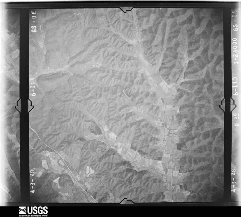
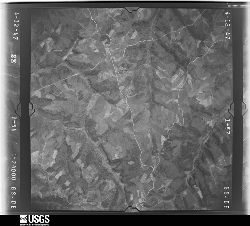
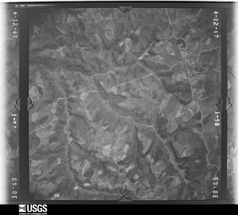
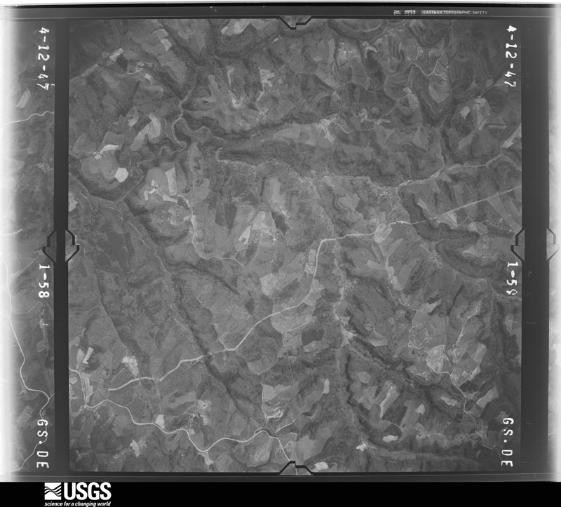
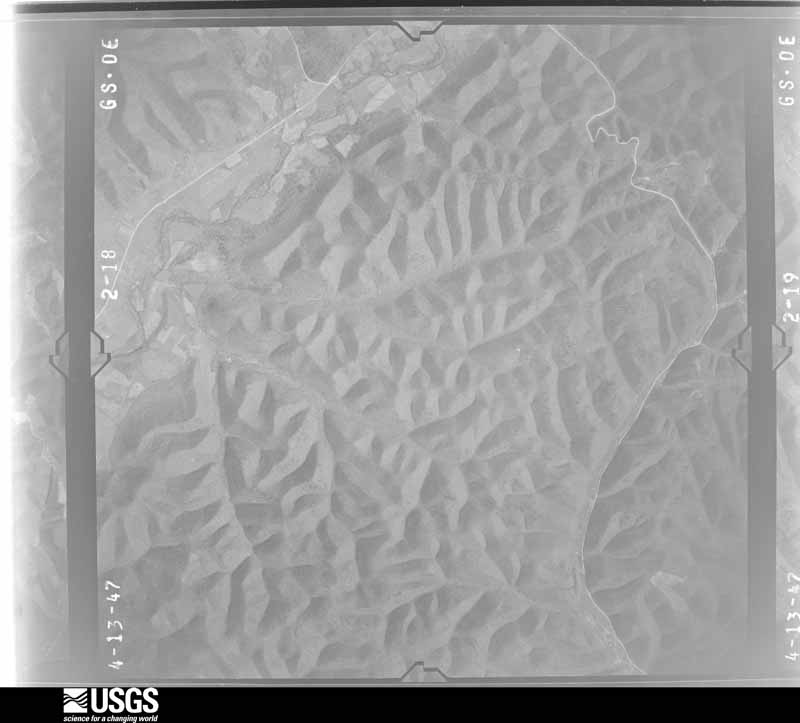
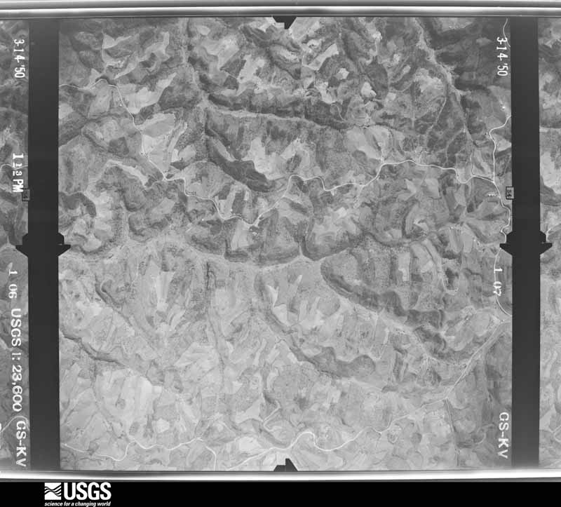
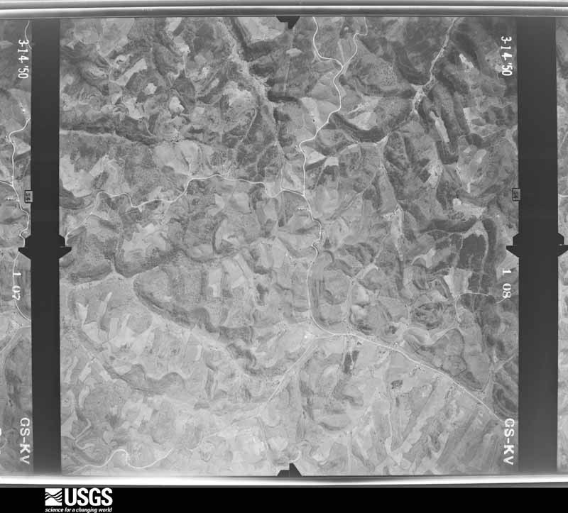
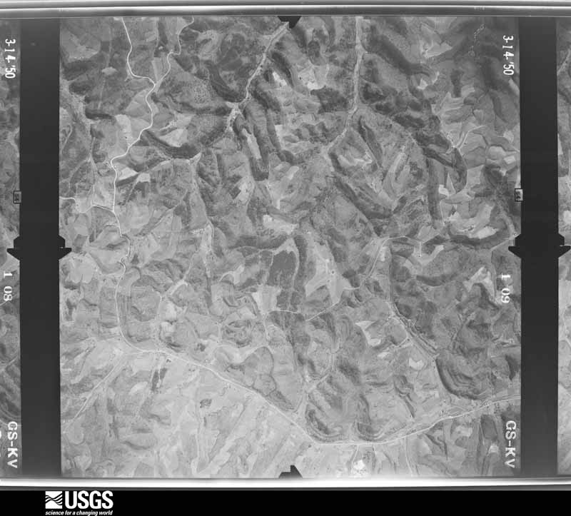
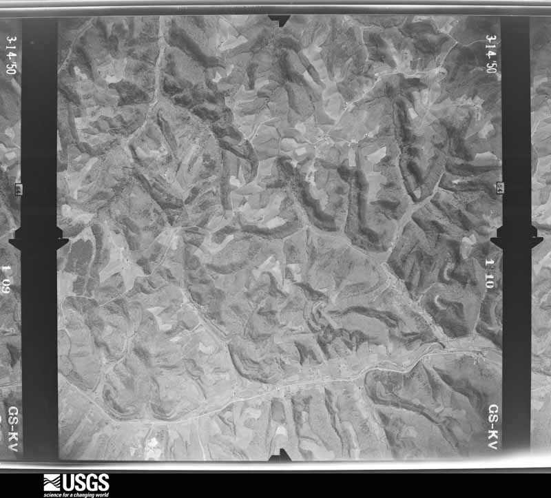
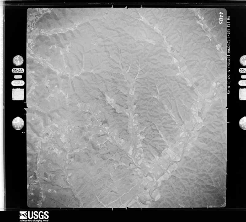
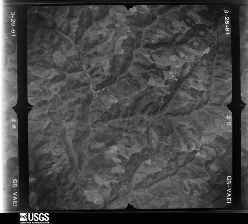
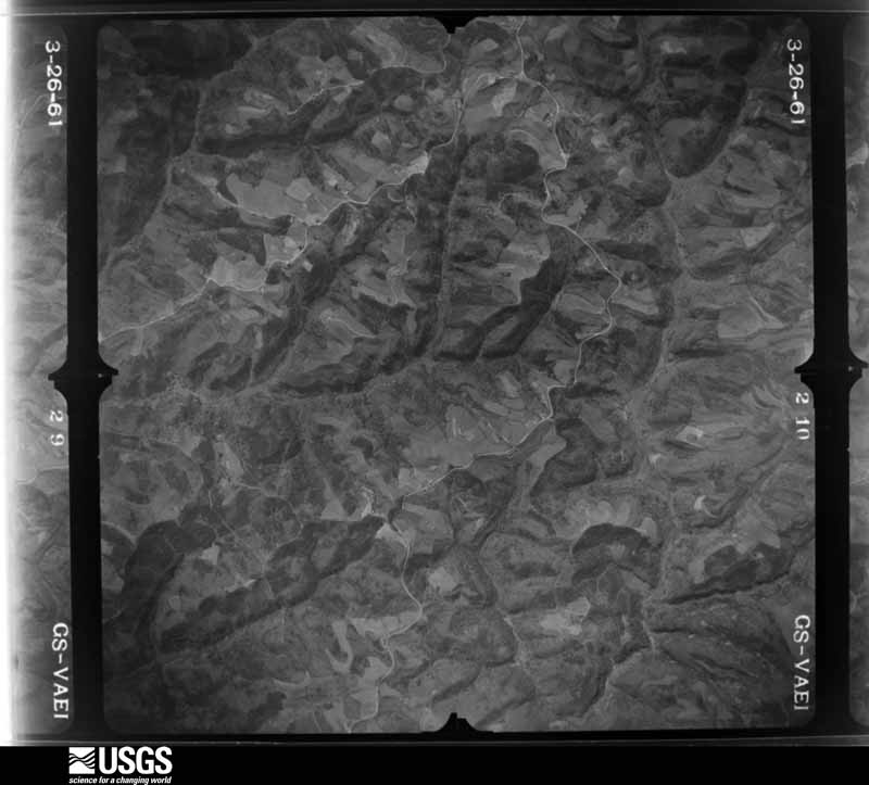
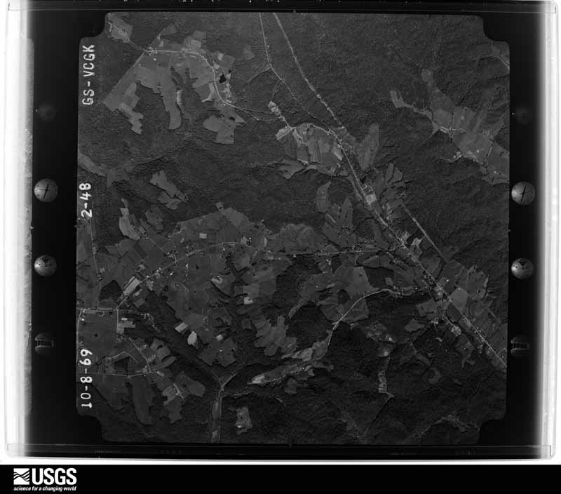
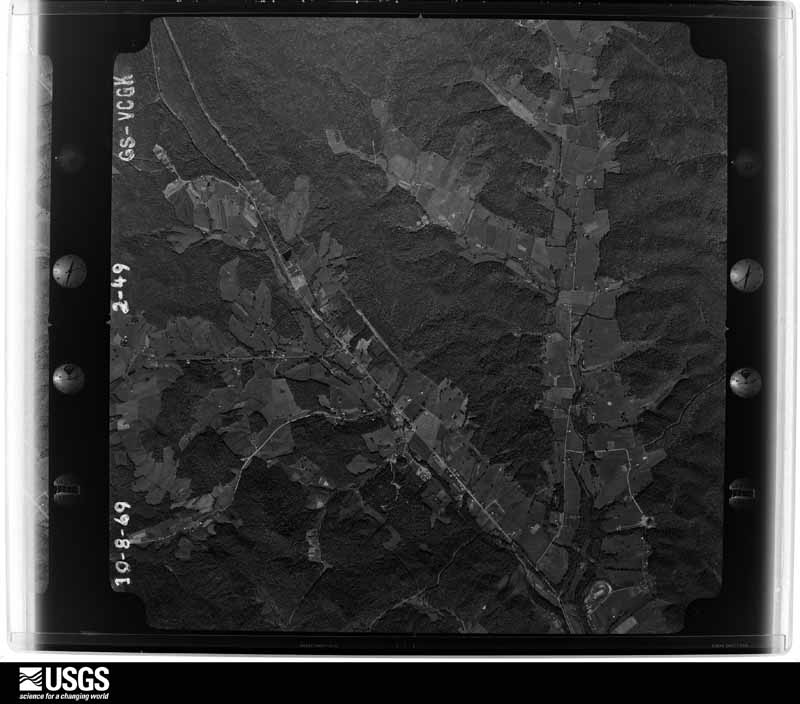
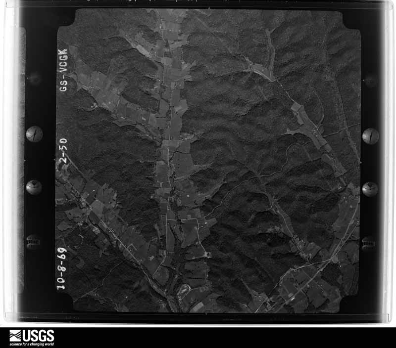
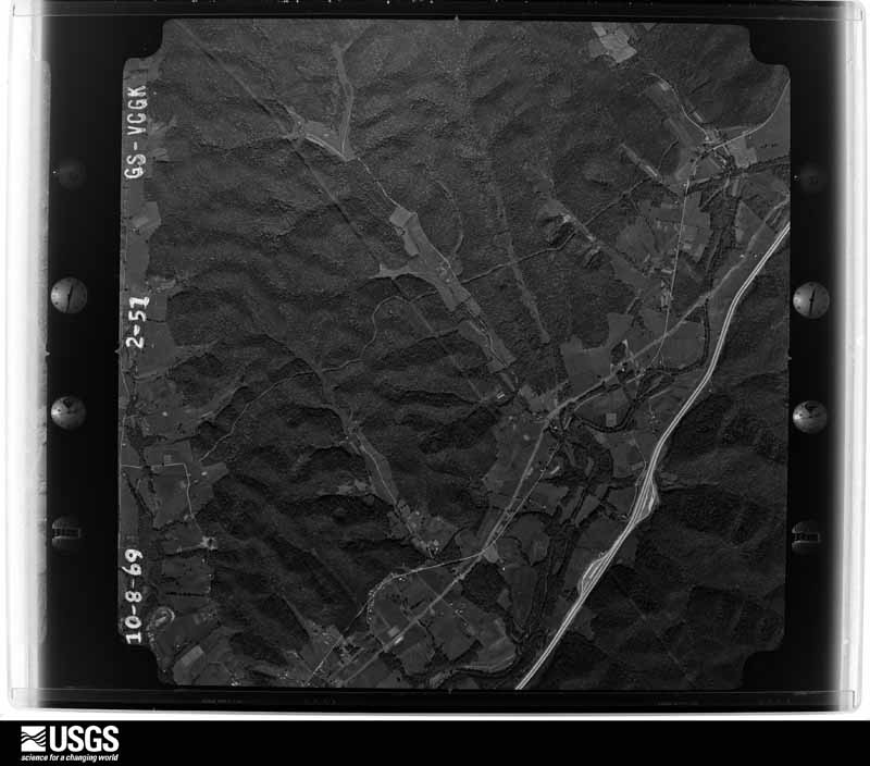
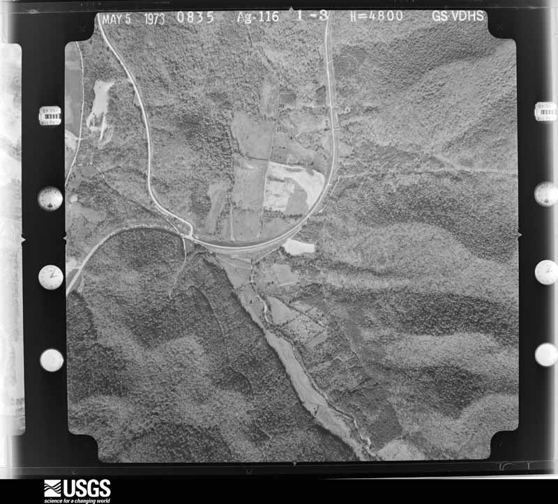
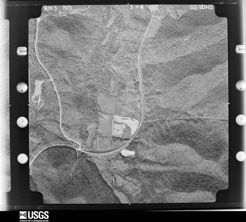
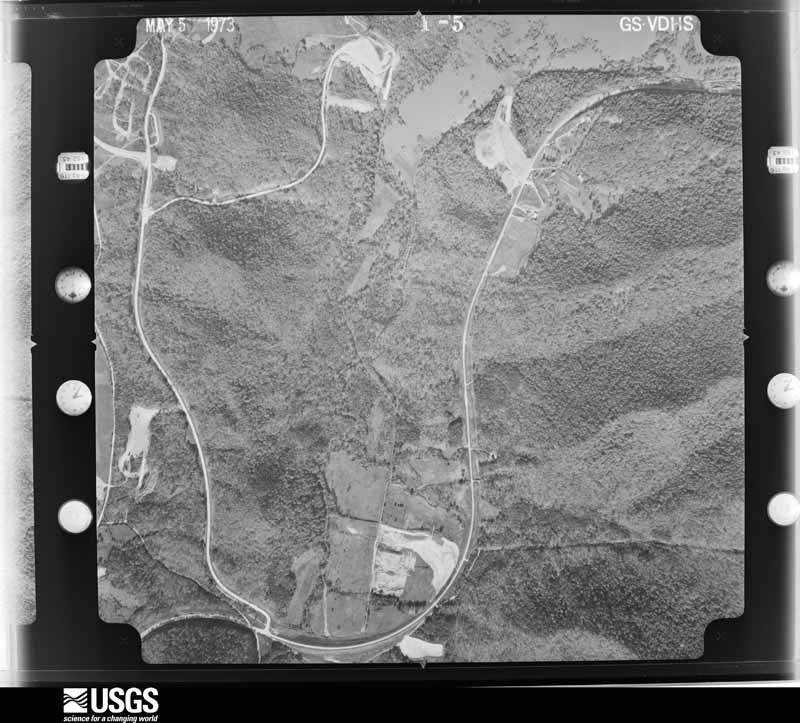
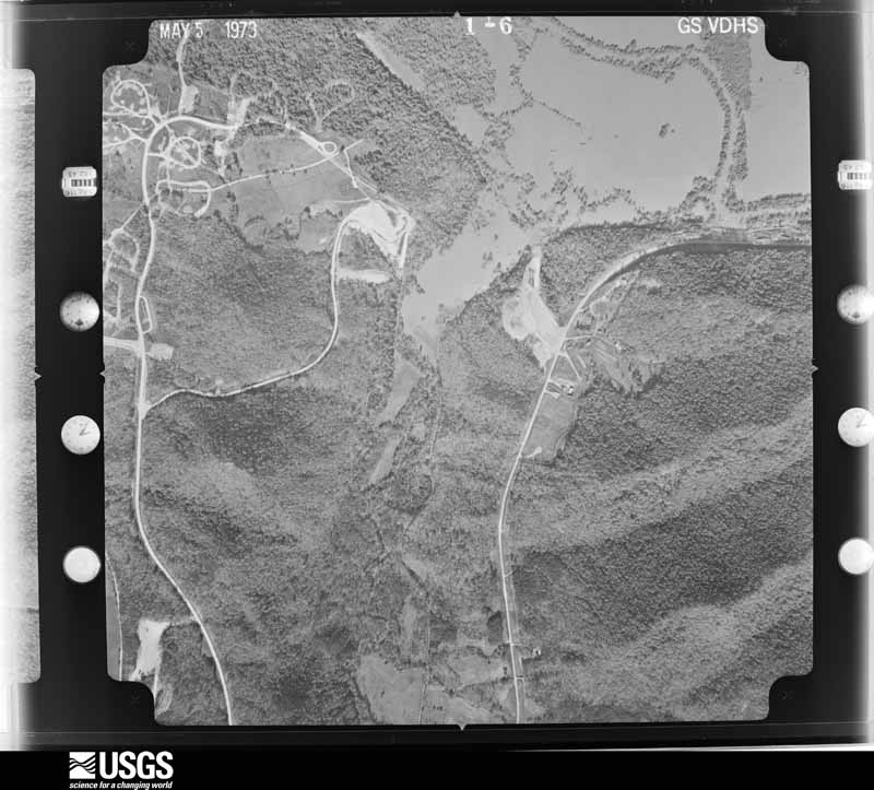
Flown by the U.S. Geological Survey between 1937 and 1989, the Aerial Photo Single Frames collection is the definitive mid-century view of the land: fields, roads and rivers as the camera saw them. The Survey holds 1,025 frames inside the rectangle that bounds this county; the 27 frames below were taken over the county itself, chosen across the decades of flights (at most four a year from that rectangle), so one flight cannot crowd out the rest. The full set is free to browse and download at EarthExplorer under the dataset Aerial Photo Single Frames.







The thermometers that kept this county's weather, and the gages that measured the flow of its streams, as the federal records hold them. The extremes below are measured values from those records, not estimates.
Who lived here in 1950, one enumeration district at a time, as the Census Bureau described each district. Each row opens its official National Archives result, with Population Schedules and ED Maps available there.
Every wildfire the federal occurrence database records inside this county: 270 of them, burning about 4,061 acres. 3 started naturally and 49 were recorded as arson. Each settlement page carries the fires within five miles of it.
| Reported cause | Fires |
|---|---|
| Debris and open burning | 86 |
| Missing data/not specified/undetermined | 62 |
| Arson/incendiarism | 49 |
| Recreation and ceremony | 41 |
| Railroad operations and maintenance | 8 |
| Equipment and vehicle use | 6 |
| Power generation/transmission/distribution | 6 |
| Misuse of fire by a minor | 5 |
| Fireworks | 3 |
| Natural | 3 |
| Smoking | 1 |
The five largest, by the area the report gives. One of them was set deliberately.
| Date | Cause | Size | Reported by | Name on the report |
|---|---|---|---|---|
| 16 April 2010 | Power generation/transmission/distribution | 1,102 acres | Daniel Boone National Forest | CLAYLICK |
| 6 April 2010 | Recreation and ceremony | 304 acres | Kentucky Division of Forestry | SEAS BRANCH |
| 16 April 2001 | Power generation/transmission/distribution | 152 acres | Daniel Boone National Forest | LAKEVIEW |
| 6 April 1999 | Missing data/not specified/undetermined | 146 acres | Daniel Boone National Forest | ISLAND FORK |
| 31 March 2015 | Arson/incendiarism | 127 acres | Daniel Boone National Forest | RODBURN HOLLOW |
| 12 April 2001 | Missing data/not specified/undetermined | 110 acres | Kentucky Division of Forestry | not named |
| 18 March 2019 | Equipment and vehicle use | 108 acres | Daniel Boone National Forest | LOCKEGEE |
| 21 September 2007 | Fireworks | 95 acres | Daniel Boone National Forest | DARK HOLLOW |
Every settlement page carries the fires within five miles of it - see the settlement index below.
The NOAA Storm Events Database holds 283 reports for this county, causing 3 deaths, 14 injuries and about $3,127,400 in recorded property damage. Each settlement page carries the reports that name it.
| Kind of event | Reports |
|---|---|
| Thunderstorm Wind | 165 |
| Flash Flood | 48 |
| Hail | 43 |
| Flood | 14 |
| Heavy Rain | 5 |
| Funnel Cloud | 4 |
| Tornado | 2 |
| Lightning | 2 |
The most serious of them, by death, then injury, then recorded damage. The accounts are quoted exactly as the forecast office filed them.
| When | Event | Place named | Harm | What the report says |
|---|---|---|---|---|
| August 2000 | Lightning | Farmers | 1 killed, 1 hurt | A family of three including the mother, father, and infant daughter lived in a mobile home and had gone to their relatives' home to seek shelter in the basement. The family was struck by lightning outside between the car and home when the father died. The 2 month old infant received a minor head contusion and scratches after her father was struck and killed by lightning with the infant in his arms. The mother was not injured. |
| September 2018 | Flood | Morehead | 1 killed, $200,000 | Several vehicles were submerged in water in Morehead, including police cruisers. Several roads were closed due to water covering them from overflowing creeks and streams. Additionally, a nine year old boy was swept into a culvert by flood waters near Morehead. His body was found a week later in the Triplett Creek area. |
| May 2022 | Flash Flood | Sharkey | 1 killed | According to an article from LEX18 news in Lexington: Kentucky State Police say they were first called out in reference to a drowning on Bullfork Road in Rowan County. They say an 80-year-old man tried to cross a swollen tributary in a utility vehicle. He got out of the vehicle and tried to get to the other side of the tributary. While crossing, troops say he was swept away in the current. He was rescued and taken to the regional medical center, where he was pronounced dead. |
| May 1995 | Thunderstorm Wind | Clearfield | 12 hurt, $500,000 | Considerable damage East through town. Buildings and homes were damaged. Twelve people received minor injuries across the county. |
| April 1991 | Thunderstorm Wind | not stated | 1 hurt | no account filed |
| May 1995 | Thunderstorm Wind | Farmers | $500,000 | Several barns leveled. The True Value and Dollar General stores received extensive damage. |
| February 2000 | Flash Flood | Countywide | $350,000 | Training effects from thunderstorms brought several hours of very heavy rains to the county. A home was severly damaged by a mud and rock slide. A furniture store had extensive damage due to flooding on Triplett Creek. Several roads received damage due to flooding across the county as well. |
| March 1997 | Flash Flood | Morehead | $350,000 | no account filed |
| May 1990 | Tornado (F1) | not stated | $250,000 | no account filed |
| July 2015 | Flash Flood | Haldeman | $160,000 | Severe flash flooding occurred on Hayes Branch of Triplett Creek in Rowan County along US 60E northeast of Morehead where a CoCoRaHS observer measured 2.02 of rain in 30 minutes. This caused extensive flooding of around 150 residences. Swift water rescues were performed to rescue two individuals from their vehicle which stalled in flood waters on US 60E. |
| July 2017 | Flood | Hays Crossing | $75,000 | Law enforcement reported the continuation of numerous water rescues and stranded motorists as heavy rains came to an end. Water also continued to infiltrate homes prior to the flood waters receding later in the night. |
| July 2017 | Flash Flood | Waltz | $50,000 | Dispatch reported over 30 water rescues, mainly due to motorists becoming stranded by quickly rising flood waters over roadways. Buffalo Branch overflowed its banks, causing water to enter homes along Buffalo Branch Road northeast of Morehead. |
| June 2009 | Thunderstorm Wind | Morehead | $50,000 | Numerous trees and power lines were blown down in Morehead. |
| August 2003 | Flash Flood | Morehead | $50,000 | Numerous homes were inundated with water in Coppers Hollow and a nearby road was impassable due to high water. |
| June 1996 | Flash Flood | Morehead | $50,000 | no account filed |
| April 2024 | Thunderstorm Wind | Ramey | $45,000 | A large and empty farm silo along KY-1722, near the intersection with KY-211, sustained wind damage to the west side. The wind hit the silo and indented it, making it look like it took a punch. No other debris or damage was noted in the area. |
| April 2024 | Thunderstorm Wind | Sharkey | $25,000 | A house on the west side of Shawnee Drive, near the intersection with KY-158, sustained considerable damage when strong easterly winds struck the chimney on the southwest side. The chimney collapsed into the roof structure, losing it's stone faade. In addition, a metal garage (located on the north side of the house) sustained damage to the east facing large garage door. The garage door had been removed at time of survey. Meanwhile, the house next door (north of above-mentioned house/west side of the street) received siding damage to the south-facing side of the house, and had it's AC unit flipped over on the same side. The house across the street also sustained a broken window, and missing shingles/flashing. |
| May 2020 | Flash Flood | Morehead | $25,000 | Rowan County Dispatch reported numerous instances of flash flooding south of Morehead. This includes near the Lockegee Rock area where a tree was downed due to flowing water. This caused a vehicle to become trapped by water prior to all occupants being rescued. Additionally, a tree downed by flowing water fell onto power lines, subsequently leading to an apartment fire closer to Morehead. |
| July 2021 | Thunderstorm Wind | Haldeman | $20,000 | A well constructed barn was destroyed by what was determined to be straight line wind damage just north of the community of Haldeman. The barn was on a knob and in an exposed location. The roof was blown off, and the sides then collapsed. |
| June 2004 | Flash Flood | Morehead | $20,000 | Tripplett Creek was flowing into several houses. Kentucky Highway 519 was closed due to high water about six miles south of Morehead. |
| April 2024 | Thunderstorm Wind | Ramey | $15,000 | A large pine tree was uprooted in front of a house on Bluebank Road, just north of the intersection with Ramey Ridge Road. The tree fell southward, hitting the front porch of the house. The extent of the damage is unknown. |
| April 2024 | Thunderstorm Wind | Ramey | $15,000 | Numerous trees were broken or snapped along KY-211 just SE of Linville Road. In addition, an older mobile home (possibly vacant) on the east side of the road sustained visible damage. |
| April 2024 | Thunderstorm Wind | Ramey | $15,000 | The side and top of a barn was blown off along KY-1722 near the Licking River. Most of the debris was blown eastward across the road and into the trees across the street. In addition, numerous trees behind the barn and along the river received broken limbs as the wind came through. |
| July 2019 | Flash Flood | Hays Crossing | $15,000 | Dispatch reported several streets in Morehead becoming inundated with flowing flood waters, including Kentucky Highways 32 and 1167, forcing their closure. St. Claire Regional Medical Center and the Morehead Police Station had water move into them, but medical and 911 services went uninterrupted. Rainfall amounts for the day totaled 3 to 4 inches, with the majority of this occurring within a couple of hours during the late afternoon. |
| March 2012 | Thunderstorm Wind | Morehead | $15,000 | Extensive damage occurred to trees and residential structures 1 mile west of Morehead due to thunderstorm wind gusts. |
| March 2012 | Thunderstorm Wind | Triplett | $15,000 | A barn was destroyed by thunderstorm wind gusts in Triplett. |
| May 2008 | Thunderstorm Wind | Morehead | $15,000 | Numerous trees were blown down on Highway 377. |
| June 2008 | Thunderstorm Wind | Morehead | $15,000 | Several trees were blown down by thunderstorm wind gusts. One tree fell onto a home and another onto a powerline. |
| July 2000 | Thunderstorm Wind | Morehead | $15,000 | Strong winds flipped over a recreational vehicle and moved a building off of its foundation. |
| May 2020 | Flash Flood | Farmers | $11,000 | Local media and dispatch relayed reports of flowing water on several roads in Farmers, with some of this nearing homes. Farther northeast near Bluestone, Hungry Hollow Road was reported to have been closed due to flowing flood waters. |
| April 2024 | Thunderstorm Wind | Sharkey | $10,000 | Several points of damage located along KY-158 just past Shawnee Drive. A wooden barn had it's barn door broken, along with peeling roof panels. A large hardwood tree was also uprooted on the property. Across the street, to the south, a house lost it's downspout. The County EM also informed that another house in this vicinity lost a front porch column in the storm, but it had since been put back in place. |
| April 2024 | Thunderstorm Wind | Sharkey | $10,000 | A metal barn/garage located on KY-158 near Flemingsburg Road sustained wind damage. Metal sheets from the barn were throw eastward, including roofing, flashing, and side panels. |
| April 2024 | Thunderstorm Wind | Sharkey | $10,000 | A metal barn behind a house on Shawnee Drive had a door and panels blown out on the north side. The team was unable to see the remainder of the back of the barn from their location. It also appeared as though the house, located east of the barn, had some windows blown out on the garage doors, however it is unclear if the damage occurred from the storm. |
| April 2024 | Thunderstorm Wind | Hilda | $10,000 | A roof was blown off a storage building near the community of Hilda. |
| August 2010 | Thunderstorm Wind | Haldeman | $10,000 | Trees were blown down in Haldeman. |
| July 2000 | Flash Flood | Morehead | $10,000 | Flash flooding washed out road at Nickel's Branch. Residents of two trailers evacuated by rescue squad, no injuries reported. First floor of city office building flooded. |
| March 1997 | Flash Flood | Morehead | $10,000 | no account filed |
| July 2012 | Thunderstorm Wind | Morehead | $8,000 | An 18 to 24 inch diameter red oak was snapped off and lying on some fiber optic line, causing a telephone pole to break. |
| April 2011 | Thunderstorm Wind | Morehead | $8,000 | Downed power lines were reported. |
| April 2011 | Thunderstorm Wind | Morehead | $8,000 | Downed power lines were reported. |
| June 2011 | Thunderstorm Wind | Morehead | $6,000 | Trees were blown down and onto Nichols Branch and Riddle Fork Roads in the Dry Creek community. |
| June 2012 | Thunderstorm Wind | Cranston | $5,000 | Numerous trees were blown down on Rock Fork Road and Highway 377. |
| April 2012 | Flash Flood | Gates | $5,000 | Up to a foot of water was flowing over portions of Hwy 60 due to Triplett Creek being out of its banks. There were also evacuations in the Gates community and water flooded a home off Tunnel Cut Loop Road in Haldeman. |
| August 2010 | Thunderstorm Wind | Morehead | $5,000 | Power lines were blown down in Morehead. |
| August 2010 | Thunderstorm Wind | Elliottville | $5,000 | Trees were reported to have been blown down in the Dry Creek community. |
| June 2009 | Thunderstorm Wind | Cranston | $5,000 | Trees were blown down on State Route 377 at Pond Lick Road. |
| June 2009 | Thunderstorm Wind | Triplett | $5,000 | A couple of 8 inch diameter locust trees and several large limbs were blown down. |
| January 2008 | Thunderstorm Wind | Lick Fork | $5,000 | Trees were blown down onto Highway 801 at Cave Run Lake by wind gusts estimated at 61 mph. |
| January 2008 | Thunderstorm Wind | Elliottville | $5,000 | Trees were blown down onto Highway 32 by wind gusts estimated at 61 mph. |
| January 2008 | Thunderstorm Wind | Hamm | $5,000 | Highway 1167 was blocked by fallen trees that were blown down by winds estimated at 61 mph. |
| June 2007 | Thunderstorm Wind | Morehead | $5,000 | Large 10000 to 12000 cinder block wall blown over at a Wal Mart construction site. |
| November 2007 | Thunderstorm Wind | Morehead | $5,000 | A few trees were blown down in the southern half of the county. |
| May 2004 | Thunderstorm Wind | Morehead | $5,000 | Trees and power lines were down. |
| July 2004 | Thunderstorm Wind | Sharkey | $5,000 | A tin roof blew off of a horse barn. Several trees were down on Highway 158. |
| May 1997 | Flash Flood | Elliottville | $5,000 | Flash flooding occurred along Christy Creek in eastern Rowan County. People had to be evacuated in the Elliotville area. |
| December 2019 | Flood | Bluestone | $4,000 | Local media and dispatch reported water on Bluestone Road near Lakeview Heights, as well as flooding on Kentucky Highway 1722 near old U.S. Highway 60 close to Farmers. |
| July 2011 | Thunderstorm Wind | Cranston | $4,000 | Trees were blown down northwest of Cranston. |
| July 2011 | Thunderstorm Wind | Farmers | $4,000 | Trees were blown down. |
| July 2000 | Thunderstorm Wind | Morehead | $4,000 | Trees and power poles down across northern part of county. |
| December 2019 | Flood | Hilda | $3,500 | The county Emergency Manager reported flooding on Kentucky Highway 377 near Munson and on Big Woods Road near Hilda. |
The Survey's mineral resources record lists 9 workings inside this county. None of them still produces: all are closed or unrecorded. Each settlement page carries the workings within five miles of it.
| Commodity | Workings |
|---|---|
| Clay | 7 |
| Stone, Crushed/Broken | 2 |
The least common of them first, because a county's hundredth gravel pit says nothing its first ten did not.
| Where | Site | Commodity | Status | Recorded |
|---|---|---|---|---|
| Plant C Mine | Stone, Crushed/Broken | Past Producer | ||
| Plant K Mine | Stone, Crushed/Broken | Past Producer | ||
| Clay Heirs Mine | Clay | Past Producer | ||
| Cogswell-Fultz Mine | Clay | Past Producer | ||
| Eastside Roadcut Clay Bed | Clay | Prospect | ||
| Ellitoville Gully | Clay | Prospect | ||
| Patties Lick Strip Mine | Clay | Unknown | ||
| Sweetnam Mine | Clay | Past Producer | ||
| W.T. Caudill Strip Mine | Clay | Unknown |
Named settlements recorded in the Geographic Names Information System, each with the topographic sheets covering it. Villages, hamlets and abandoned places alike. Each is shown with the nearest named watercourse or landform and the survey quadrangle it falls on. The 1 place that was also surveyed for fire insurance comes first, with the number of atlases and photographs held for them.
Morehead census division · 40351 · On Evans Branch · Morehead quadrangle
11 sheets, 1929 to 1982
Fire insurance: 4 atlases
Morehead census division · 40351 · On Carpenter Branch · Bangor quadrangle
11 sheets, 1929 to 1982
Hilda-Triplett census division · 40351 · On Murray Branch · Cranston quadrangle
8 sheets, 1951 to 1982
No longer a settlement
Morehead census division · 40351 · On North Fork Triplett Creek · Farmers quadrangle
11 sheets, 1929 to 1982
Morehead census division · 40351 · On Morgan Fork · Morehead quadrangle
11 sheets, 1929 to 1982
Morehead census division · 40351 · On Christy Creek · Morehead quadrangle
11 sheets, 1929 to 1982
Morehead census division · 40313 · On Dry Creek · Morehead quadrangle
11 sheets, 1929 to 1982
Morehead census division · 40351 · On Billy Branch · Bangor quadrangle
11 sheets, 1929 to 1982
Morehead census division · 40313 · On Lick Branch · Wrigley quadrangle
11 sheets, 1929 to 1982
Hilda-Triplett census division · 40351 · On Clear Fork · Cranston quadrangle
8 sheets, 1951 to 1982
Morehead census division · 40351 · On Andy White Branch · Haldeman quadrangle
10 sheets, 1929 to 1982
Morehead census division · 40351 · On Murphy Branch · Farmers quadrangle
11 sheets, 1929 to 1982
Morehead census division · 40351 · On Perry Branch · Haldeman quadrangle
10 sheets, 1929 to 1982
Morehead census division · 40351 · On Bearskin Branch · Soldier quadrangle
8 sheets, 1951 to 1982
Morehead census division · 40351 · On Wagner Fork · Haldeman quadrangle
10 sheets, 1929 to 1982
Morehead census division · 40351 · On Hays Branch · Haldeman quadrangle
10 sheets, 1929 to 1982
Hilda-Triplett census division · 40351 · On Jane Branch · Farmers quadrangle
11 sheets, 1929 to 1982
Morehead census division · 40351 · Near Dane Greer Hill · Farmers quadrangle
11 sheets, 1929 to 1982
Morehead census division · 40351 · On Thomas Cave Branch · Bangor quadrangle
11 sheets, 1929 to 1982
Morehead census division · 40351 · On Brown Fork · Haldeman quadrangle
10 sheets, 1929 to 1982
Morehead census division · 40351 · On Carpenter Branch · Bangor quadrangle
11 sheets, 1929 to 1982
No longer a settlement
Morehead census division · 40351 · Near Poppin Hill · Bangor quadrangle
11 sheets, 1929 to 1982
Hilda-Triplett census division · 40351 · On Bluebank Branch · Farmers quadrangle
11 sheets, 1929 to 1982
Morehead census division · 40351 · On Martin Branch · Morehead quadrangle
11 sheets, 1929 to 1982
Morehead census division · 40351 · Near Green Mountain · Farmers quadrangle
11 sheets, 1929 to 1982
No longer a settlement
Hilda-Triplett census division · 40351 · On Murray Branch · Cranston quadrangle
8 sheets, 1951 to 1982
Hilda-Triplett census division · 40351 · On Nickell Branch · Cranston quadrangle
8 sheets, 1951 to 1982
Hilda-Triplett census division · 40351 · On Island Fork · Cranston quadrangle
8 sheets, 1951 to 1982
The vanished settlements of Rowan County: the places named above that are no longer on the map.
11 topographic sheets and 4 fire insurance atlases, 1908 to 1941