 Block
Smith Mills, Kentucky
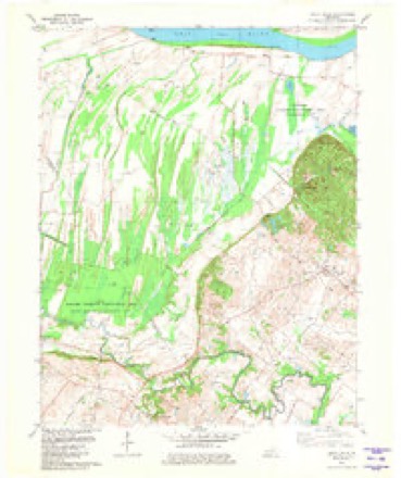
17 topographic sheets cover this place, the earliest surveyed in 1917 and the latest in 1991. It stands in the Corydon census division. It lies in ZIP code area 42420. The Survey maps it on the Smith Mills quadrangle. It stands 410 feet above sea level.
Topographic sheets covering this place
8 surveys from 17 printed sheetsMatched by testing this settlement's coordinate against the published boundary of every sheet in the United States Geological Survey's historical collection. Each opens the scanned sheet at the Survey.
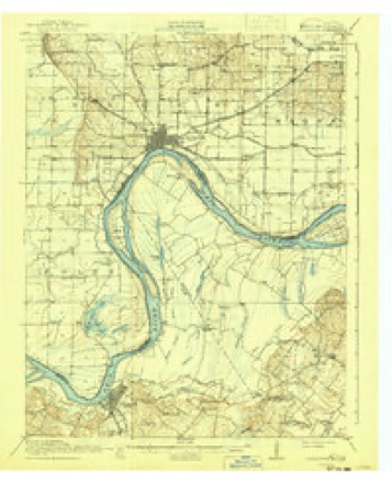
- 1917 USGS Uniontown quadrangle1:62500, 6 printings
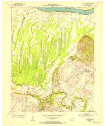
- 1952 USGS Smith Mills quadrangle1:24000, 2 printings
- 1954 USGS Evansville quadrangle1:250000
- 1957 USGS Evansville quadrangle1:250000, 3 printings
- 1961 USGS Evansville quadrangle1:250000, 2 printings
- 1981 USGS Smith Mills quadrangle1:24000
- 1986 USGS Evansville quadrangle1:100000
- 1991 USGS Evansville quadrangle1:100000



Fires near this place
6 since 2010Regional context, not property-specific evidence. The federal wildfire occurrence database lists 6 fires within 5 miles of Smith Mills between 2010 and 2017, burning about 145 acres in total. None started naturally. 1 was recorded as arson. Distance is straight-line from the map coordinates, so a fire counted here may appear on a neighbouring settlement's page as well.
| Reported cause | Fires |
|---|---|
| Recreation and ceremony | 2 |
| Missing data/not specified/undetermined | 2 |
| Arson/incendiarism | 1 |
| Debris and open burning | 1 |
The most recent of them, most recent first, with the day each was reported and the service that recorded it.
| Date | Cause | Size | Reported by | Name on the report |
|---|---|---|---|---|
| 9 September 2013 | Recreation and ceremony | 65 acres | Kentucky Division of Forestry | KLONDIKE RD. |
| 4 May 2015 | Debris and open burning | 25 acres | Kentucky Division of Forestry | KLONDIKE FIRE |
| 5 March 2017 | Arson/incendiarism | 5.0 acres | Kentucky Division of Forestry | KLONDIKE ROAD |
| 11 December 2017 | Missing data/not specified/undetermined | 17 acres | Kentucky Division of Forestry | KLONDIKE |
| 10 November 2012 | Recreation and ceremony | 8.0 acres | Kentucky Division of Forestry | TIN CITY |
| 23 October 2010 | Missing data/not specified/undetermined | 25 acres | Kentucky Division of Forestry | POWERLINE FIRE |
Settlements close enough to share some of these fires:
Storms near this place
11 since 2001Regional context, not property-specific evidence. The National Weather Service names Smith Mills in 11 storm reports between 2001 and 2023: 4 thunderstorm wind, 3 tornado, 3 flood, 1 hail. The reports record 1 injury. Each account below is quoted exactly as the forecast office filed it, from the NOAA Storm Events Database, and each date opens the federal record of that event.
| When | Event | Place named | Harm | What the report says |
|---|---|---|---|---|
| April 2015 | Thunderstorm Wind | Smith Mills | 1 hurt, $210,000 | Destructive thunderstorm winds swept across a 16-mile swath of Henderson County that crossed directly through the Corydon area. Two mobile homes were destroyed. Two other mobile homes received major damage. At least a dozen houses sustained minor damage, primarily loss of shingles and fascia. Approximately a dozen barns, sheds, or garages received roof or siding damage. Dozens of trees were uprooted. About ten power poles were snapped or blown down. Transformers were damaged at a power substation. One person received minor injuries. An elderly woman was transported to the hospital after her mobile home was flipped over and destroyed. The damage area was up to 1.25 miles wide. Peak winds were estimated near 100 mph. |
| March 2008 | Flood | Smith Mills | $300,000 | Creeks and low-lying areas experienced major flooding. Voluntary evacuations were in effect for several neighborhoods in Henderson that were flooded. At least one family was evacuated from their flooded home by boat. Several animals were rescued from the flooded area. A Henderson church was flooded. Flooding of Canoe Creek was responsible for many of the problems. Near Audubon State Park, a mudslide pushed several trees toward U.S. Highway 41 on the north side of Henderson. Elsewhere in the county, U.S. Highway 60 was closed at the Union County line. |
| July 2012 | Thunderstorm Wind | Smith Mills | $100,000 | A number of structures were damaged. Several homes and a closed store sustained roof damage. Many tree limbs were blown down. Temporary structures such as car ports were damaged. All roads were open and most power was restored by the next morning. The damage appeared to be caused by a microburst. |
| November 2005 | Tornado (F3) | Smith Mills | $100,000 | The tornado first touched down in northwest Henderson County and moved rapidly east-northeast across Ohio River bottomland. This fertile bottomland, used primarily for farming, was sparsely populated. A well-defined swath of snapped and uprooted trees was visible by air. An isolated farm house a few miles northeast of Smith Mills was destroyed. A pickup truck at the house was thrown into a field and destroyed. Due to the winding course of the Ohio River, which forms much of the Kentucky/Indiana border, the tornado crossed the river three times. The first crossing was into a peninsular section of Vanderburgh County, Indiana. |
| May 2004 | Thunderstorm Wind | Smith Mills | $25,000 | An exterior wall of a convenience store was blown down. The wall was part of the storage area of an older part of the building. Numerous tree limbs and several trees were down, including some across roads. |
| March 2023 | Tornado (EF1) | Smith Mills | $20,000 | An EF-1 tornado passed just to the west of the Smith Mills community in Henderson County. The tornado developed along JJ Utley Road. Traveling north-northeast along Greenlick Baptist Church Road, the tornado destroyed a farm outbuilding. The tornado crossed Kentucky Highway 359 just south of Smith Mills where several trees suffered extensive large limb damage. Continuing north-northeast, the tornado passed through a cemetery along Grandpa Jones Road where several large trees were snapped. The tornado diminished as it reached Kentucky Highway 136 just west of Smith Mills. Peak winds were estimated near 95 mph. |
| March 2019 | Tornado (EF0) | Smith Mills | $4,000 | Several small to medium size trees were uprooted or lost branches. Peak winds were estimated near 75 mph. |
| May 2005 | Thunderstorm Wind | Smith Mills | $2,000 | Power lines were blown down. |
| October 2009 | Flood | Smith Mills | - | The following highways in Henderson County were closed due to high water: Kentucky 812 between the 4 and 5 mile markers, Kentucky 2183 between the 0 and 3 mile markers, Kentucky 1539 between the 1 and 2 mile markers, and Kentucky 1557 between the 2 and 3 mile markers. |
| March 2006 | Flood | Smith Mills | - | no account filed |
| August 2001 | Hail | Smith Mills | - | no account filed |
Nearest settlements
The eight closest, with where each one stands in the county. Distances are straight-line, computed from the Geographic Names Information System coordinates.
| Map | Place | Distance | Sheets |
|---|---|---|---|
| Geneva | 3.8 miles | 17 | |
| Corydon | 4.9 miles | 14 | |
| Jonesburg | 5.4 miles | 14 | |
| Wilson | 5.6 miles | 17 | |
| Finley Addition | 7.5 miles | 18 | |
| Rock Springs | 7.6 miles | 14 | |
| Cairo | 8.8 miles | 14 | |
| Dixie | 9.1 miles | 14 |
Elsewhere
Matched on this settlement's Geographic Names Information System number rather than its name, so it cannot be a different place of the same name in another state.
| Wikipedia article on Smith Mills | An encyclopaedic summary. Its text is share-alike, so it is linked here rather than copied. |
| Wikidata item Q14691249 | The structured record the population and elevation above come from. Public domain (CC0). |
Provenance
This settlement is recorded in the Geographic Names Information System as feature 503801. The sheet list is computed by point-in-boundary test against the United States Geological Survey's historical topographic inventory. Both are works of the United States government and carry no copyright under 17 U.S.C. 105.
Wildfire. Short, Karen C. 2022. Spatial wildfire occurrence data for the United States, 1992-2020 [FPA_FOD_20221014]. 6th Edition. Fort Collins, CO: Forest Service Research Data Archive. https://doi.org/10.2737/RDS-2013-0009.6 Collected with United States Government funding and usable without additional permissions or fees.
Storms. NOAA National Centers for Environmental Information, Storm Events Database https://www.ncei.noaa.gov/stormevents/ A work of the United States government, no copyright under 17 U.S.C. 105. Narratives are quoted verbatim from the National Weather Service report and are not edited or summarised.