 Block
Southville, Kentucky
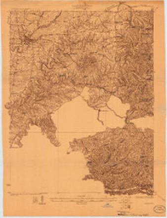
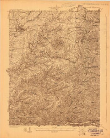
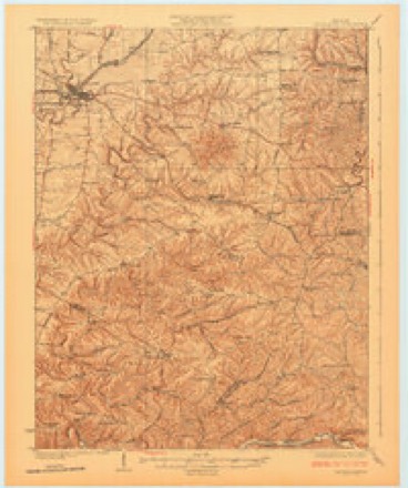
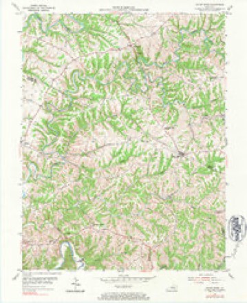
12 topographic sheets cover this place, the earliest surveyed in 1923 and the latest in 1986. It stands in the Harrisonville census division. It lies in ZIP code area 40065. The Survey maps it on the Mount Eden quadrangle.
On record in Southville
Buildings and businesses the archive holds for this place. Each opens its own page, with the source record it came from.
On the National Register 8 records
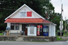 Carriss's Feed Storelisted 1988
- Carriss's Storelisted 1988
- Froman Fry Farmlisted 1988
- C. E. Frye Farmlisted 1988
- Dr. William Morris Office and Houselisted 1988
- Pugh Houselisted 1988
- Ramsey Houselisted 1988
- Salem Baptist Churchlisted 1988
Topographic sheets covering this place
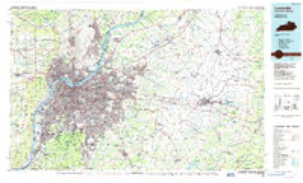
7 surveys from 12 printed sheetsMatched by testing this settlement's coordinate against the published boundary of every sheet in the United States Geological Survey's historical collection. Each opens the scanned sheet at the Survey.
- 1923 USGS Waddy quadrangle1:48000
- 1925 USGS Mount Eden quadrangle1:48000
- 1927 USGS Mount Eden quadrangle1:62500
- 1954 USGS Mount Eden quadrangle1:24000, 4 printings
- 1956 USGS Louisville quadrangle1:250000, 2 printings
- 1964 USGS Louisville quadrangle1:250000
- 1986 USGS Louisville quadrangle1:100000, 2 printings


Fires near this place
3 since 2003Regional context, not property-specific evidence. The federal wildfire occurrence database lists 3 fires within 5 miles of Southville between 2003 and 2009, burning about 41 acres in total. None started naturally. None was recorded as arson. Distance is straight-line from the map coordinates, so a fire counted here may appear on a neighbouring settlement's page as well.
| Reported cause | Fires |
|---|---|
| Missing data/not specified/undetermined | 2 |
| Recreation and ceremony | 1 |
The most recent of them, most recent first, with the day each was reported and the service that recorded it.
| Date | Cause | Size | Reported by | Name on the report |
|---|---|---|---|---|
| 11 March 2003 | Missing data/not specified/undetermined | 26 acres | Kentucky Division of Forestry | not named |
| 16 February 2009 | Recreation and ceremony | 12 acres | Kentucky Division of Forestry | not named |
| 12 November 2005 | Missing data/not specified/undetermined | 3.0 acres | Kentucky Division of Forestry | not named |
Settlements close enough to share some of these fires:
Storms near this place
3 since 2013Regional context, not property-specific evidence. The National Weather Service names Southville in 3 storm reports between 2013 and 2022: 2 tornado, 1 flash flood. No death or injury is recorded in these reports. Each account below is quoted exactly as the forecast office filed it, from the NOAA Storm Events Database, and each date opens the federal record of that event.
| When | Event | Place named | Harm | What the report says |
|---|---|---|---|---|
| April 2022 | Tornado (EF0) | Southville | - | A narrow tornado touched down along Tatum Road in Central Shelby County, Wednesday evening. The tornado topped some trees initially, and then picked up a dog house and uprooting some cedar and maple trees. There was shingle damage to a small home, and residents heard intense wind and felt a strong pressure change. Wind speeds in this area where 80 mph, and 50 yards wide.||The tornado caused the most significant damage to a large older barn, removing and twisting a lot of metal sheeting and roof panels. Another 15 by 10 foot metal outbuilding had its roof removed. Drone video show the debris pattern twisting up into the trees up to 150 yards to the east northeast.||The rope tornado quickly lifted in a grove of trees just east of the metal outbuilding along Tatum Road. |
| April 2022 | Tornado (EF1) | Southville | - | The National Weather Service in Louisville confirmed an EF-1 tornado in South Central Shelby County. The tornado touched down along Rockbridge Road, about 3 miles east southeast of Interstate 64 at exit 35. Three barns had significant roof and panel damage. The wood debris from the barns impaled the ground, and insulation and metal sheeting went up into the trees and twisted. Trees were facing from a northerly direction, to an east southeasterly direction. This is consistent with a tornado of 90 mph strength.||Drone footage showed several different types of trees twisted and sheared off at the very top. The tornado lifted just past the third barn approximately 200 yards eastward in a grove of trees. Residents of the two homes affected heard a distinct roaring sound, and strong pressure around the sinuses and ears. |
| August 2013 | Flash Flood | Southville | - | The 4500 block of Rockbridge Road had to be closed due to flash flooding. |
Nearest settlements
The eight closest, with where each one stands in the county. Distances are straight-line, computed from the Geographic Names Information System coordinates.
| Map | Place | Distance | Sheets |
|---|---|---|---|
| Sunnyside (historical) | 3.1 miles | 12 | |
| Hemp Ridge | 4.3 miles | 13 | |
| Olive Branch | 4.5 miles | 11 | |
| Hooper | 4.7 miles | 14 | |
| Figgs | 4.8 miles | 11 | |
| Junte | 4.9 miles | 9 | |
| Waddy | 6.0 miles | 13 | |
| Harrisonville | 6.3 miles | 9 |
Elsewhere
Matched on this settlement's Geographic Names Information System number rather than its name, so it cannot be a different place of the same name in another state.
| Wikipedia article on Southville | An encyclopaedic summary. Its text is share-alike, so it is linked here rather than copied. |
| Wikidata item Q7571102 | The structured record the population and elevation above come from. Public domain (CC0). |
Provenance
This settlement is recorded in the Geographic Names Information System as feature 504010. The sheet list is computed by point-in-boundary test against the United States Geological Survey's historical topographic inventory. Both are works of the United States government and carry no copyright under 17 U.S.C. 105.
Wildfire. Short, Karen C. 2022. Spatial wildfire occurrence data for the United States, 1992-2020 [FPA_FOD_20221014]. 6th Edition. Fort Collins, CO: Forest Service Research Data Archive. https://doi.org/10.2737/RDS-2013-0009.6 Collected with United States Government funding and usable without additional permissions or fees.
Storms. NOAA National Centers for Environmental Information, Storm Events Database https://www.ncei.noaa.gov/stormevents/ A work of the United States government, no copyright under 17 U.S.C. 105. Narratives are quoted verbatim from the National Weather Service report and are not edited or summarised.