 Block
Talley, Kentucky
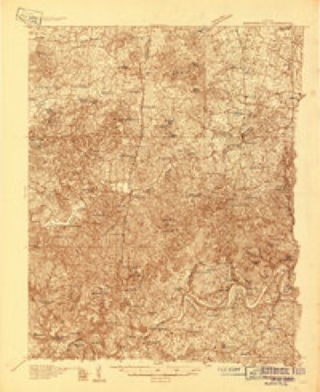
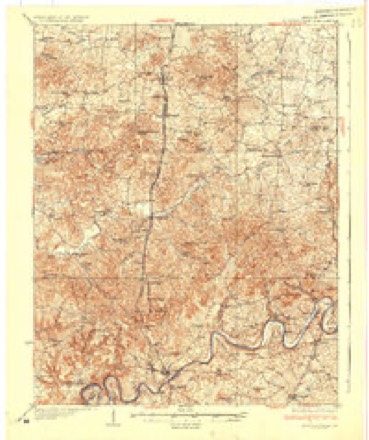
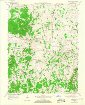
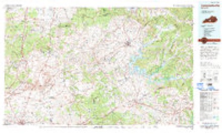
11 topographic sheets cover this place, the earliest surveyed in 1934 and the latest in 1986. It stands in the Magnolia-Upton census division. It lies in ZIP code area 42784. It lies near Barefoot Hollow. The Survey maps it on the Hammonville quadrangle.
Topographic sheets covering this place
6 surveys from 11 printed sheetsMatched by testing this settlement's coordinate against the published boundary of every sheet in the United States Geological Survey's historical collection. Each opens the scanned sheet at the Survey.
- 1934 USGS Munfordville quadrangle1:48000
- 1937 USGS Munfordville quadrangle1:62500
- 1954 USGS Hammonville quadrangle1:24000, 3 printings
- 1957 USGS Winchester quadrangle1:250000, 3 printings
- 1960 USGS Winchester quadrangle1:250000
- 1986 USGS Campbellsville quadrangle1:100000, 2 printings


Fires near this place
22 since 1997Regional context, not property-specific evidence. The federal wildfire occurrence database lists 22 fires within 5 miles of Talley between 1997 and 2019, burning about 250 acres in total. None started naturally. 2 were recorded as arson. Distance is straight-line from the map coordinates, so a fire counted here may appear on a neighbouring settlement's page as well.
| Reported cause | Fires |
|---|---|
| Missing data/not specified/undetermined | 9 |
| Recreation and ceremony | 4 |
| Debris and open burning | 3 |
| Railroad operations and maintenance | 2 |
| Arson/incendiarism | 2 |
| Smoking | 2 |
The most recent of them, most recent first, with the day each was reported and the service that recorded it.
| Date | Cause | Size | Reported by | Name on the report |
|---|---|---|---|---|
| 7 September 2010 | Recreation and ceremony | 1.0 acres | Kentucky Division of Forestry | WONDERLAND RD. |
| 26 September 1999 | Smoking | 6.0 acres | Kentucky Division of Forestry | not named |
| 25 September 2008 | Railroad operations and maintenance | 1.0 acres | Kentucky Division of Forestry | not named |
| 25 September 2008 | Debris and open burning | 9.0 acres | Kentucky Division of Forestry | not named |
| 9 April 1997 | Debris and open burning | 2.0 acres | Kentucky Division of Forestry | not named |
| 30 April 2018 | Arson/incendiarism | 20 acres | Kentucky Division of Forestry | UPTON |
| 3 April 2003 | Missing data/not specified/undetermined | under an acre | Kentucky Division of Forestry | not named |
| 11 April 2010 | Debris and open burning | 2.0 acres | Kentucky Division of Forestry | not named |
Settlements close enough to share some of these fires:
Mines and quarries near this place
1 within 5 milesRegional context, not property-specific evidence. The federal mineral resources record lists 1 working within 5 miles of Talley: 1 producer. All of them still produce. What was taken out: Stone, Crushed/Broken. Distance is straight-line from the map coordinates, so a quarry counted here may appear on a neighbouring settlement's page as well.
| Where | Site | Commodity | Status | Recorded |
|---|---|---|---|---|
| Upton Quarry | Stone, Crushed/Broken | Producer |
Storms near this place
2 since 2006Regional context, not property-specific evidence. The National Weather Service names Talley in 2 storm reports between 2006 and 2022: 2 tornado. No death or injury is recorded in these reports. Each account below is quoted exactly as the forecast office filed it, from the NOAA Storm Events Database, and each date opens the federal record of that event.
| When | Event | Place named | Harm | What the report says |
|---|---|---|---|---|
| January 2006 | Tornado (F1) | Talley | $500,000 | no account filed |
| April 2022 | Tornado (EF1) | Talley | - | A National Weather Service storm survey team in coordination with Larue County Emergency Management surveyed damage in southern Larue County from storms that occurred on Wednesday evening. It was determined that a brief EF-1 tornado that was embedded within a larger area of straight-line winds touched down 1.3 miles southeast of Upton, traveled east for just over 2.5 miles, and then lifted 3 miles east-southeast of Upton. The EF-1 tornado had a max wind of around 100 mph, and a max path width of around 200 yards.||The tornado touched down at solid EF-1 strength just northwest of the intersection of Weldon Loop Road and Watkins Alvey Road where a small barn was completely destroyed, and debris was scattered in many directions almost a half mile to the northeast. In addition, a small lean-to section of another barn was thrown back to the northwest, clear evidence of cyclonic rotation. Hardwood trees just downstream from the barn were also snapped and laying in a convergent pattern, offering more support for tornadic winds.||The tornado continued roughly eastward along Weldon Loop Road where it did some light damage to a barn roof and brought down large limbs from a hardwood tree. This damage occurred near the intersection of Johnson Road and Weldon Loop Road, and was in the EF-0 strength range. The tornado continued to the ENE along Weldon Loop Road at EF- 0 strength as it caused minor roof damage to a house, and damaged a greenhouse near the intersection of Wheeler and Wheldon Loop Roads. The tornado finished the last half mile of its path along Upton Talley Road where it uprooted or snapped softwood trees, damaged barns, and did minor fascia and shingle damage to a couple of homes. The tornado lifted about a quarter mile past the Upton Talley and Lanny Heath Roads intersection.||It should be noted that this brief tornado occurred within a larger area of straight-line wind damage where some older barns were destroyed and numerous softwood and hardwood trees were snapped or uprooted. However, the damage was mainly laying in an east-northeast direction consistent with overall storm motion and a straight-line wind signature. It was considered to make this damage part of the overall tornado, however the path width would have been over a half mile wide, which is unlikely for brief spin-up tornadoes embedded in a QLCS.||It should also be noted that more sporadic, and overall weaker, straight-line wind damage continued eastward along a consistent path across southern Larue county. Most of this damage was consistent with winds between 60 and 70 mph toward and just north of the Magnolia community and points eastward. |
Nearest settlements
The eight closest, with where each one stands in the county. Distances are straight-line, computed from the Geographic Names Information System coordinates.
| Map | Place | Distance | Sheets |
|---|---|---|---|
| In The Bark of Wonderland (historical) | 1.6 miles | 11 | |
| Maxine | 2.7 miles | 11 | |
| Tanner | 5.1 miles | 15 | |
| Magnolia | 5.3 miles | 9 | |
| Keith (historical) | 5.5 miles | 11 | |
| Mathers Mill | 7.3 miles | 15 | |
| Boundary Oak | 7.9 miles | 8 | |
| South Buffalo | 8.4 miles | 8 |
Provenance
This settlement is recorded in the Geographic Names Information System as feature 509182. The sheet list is computed by point-in-boundary test against the United States Geological Survey's historical topographic inventory. Both are works of the United States government and carry no copyright under 17 U.S.C. 105.
Wildfire. Short, Karen C. 2022. Spatial wildfire occurrence data for the United States, 1992-2020 [FPA_FOD_20221014]. 6th Edition. Fort Collins, CO: Forest Service Research Data Archive. https://doi.org/10.2737/RDS-2013-0009.6 Collected with United States Government funding and usable without additional permissions or fees.
Mines and quarries. USGS Mineral Resources Data System (MRDS) https://mrdata.usgs.gov/mrds/ A work of the United States government, no copyright under 17 U.S.C. 105.
Storms. NOAA National Centers for Environmental Information, Storm Events Database https://www.ncei.noaa.gov/stormevents/ A work of the United States government, no copyright under 17 U.S.C. 105. Narratives are quoted verbatim from the National Weather Service report and are not edited or summarised.