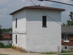
Block
From the record
32 National Register listings published here.
Sources: the National Register database, National Park Service
52 topographic sheets and 7 fire insurance atlases across 1 place.
32 National Register listings published here.
Sources: the National Register database, National Park Service
Taken for the Office of War Information and the Farm Security Administration, who photographed the country between 1935 and 1944. Works of United States government photographers, with no known restriction on use. Each opens its catalogue record.

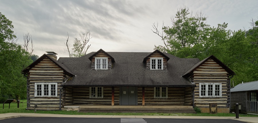


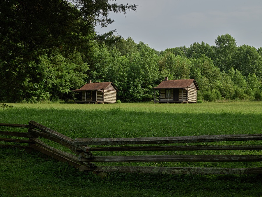

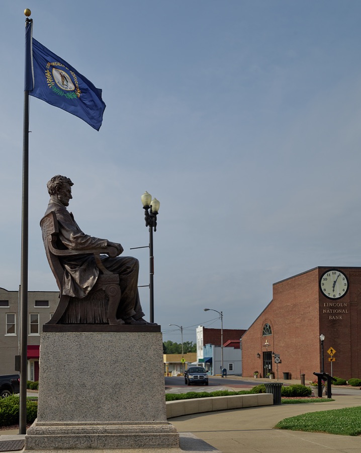
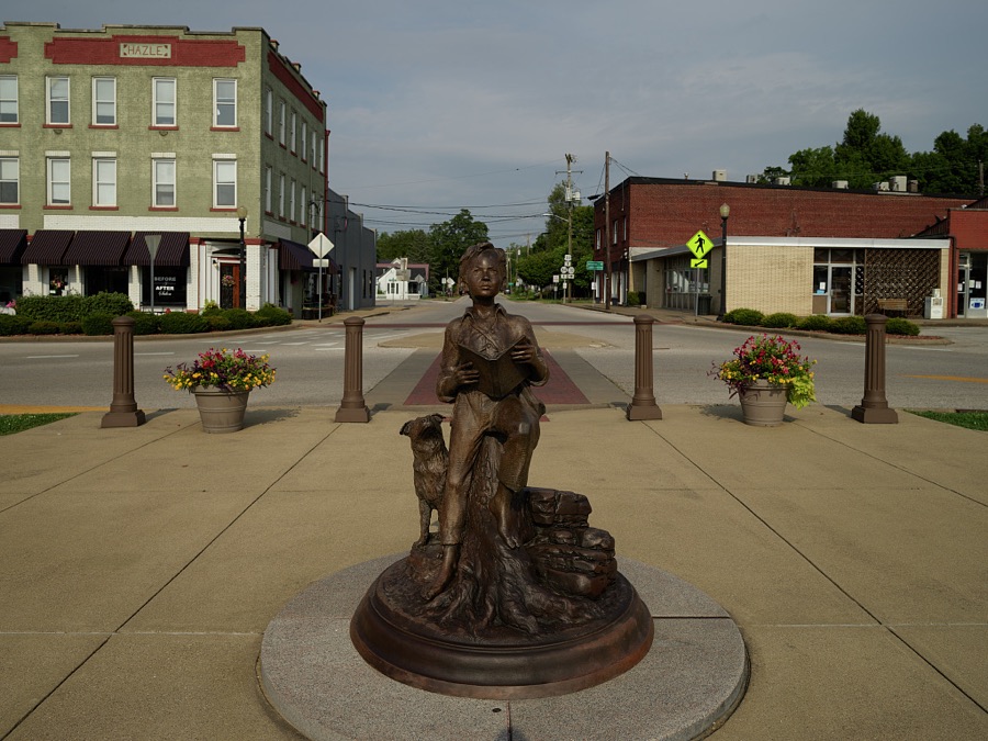
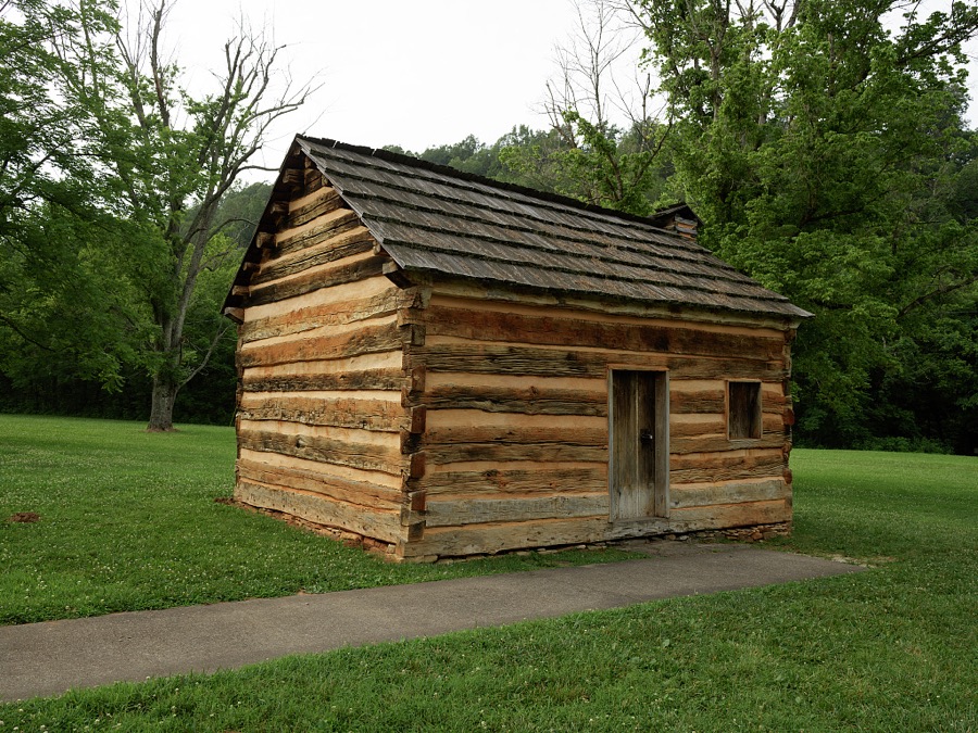


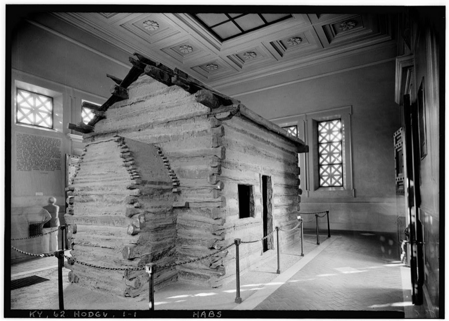
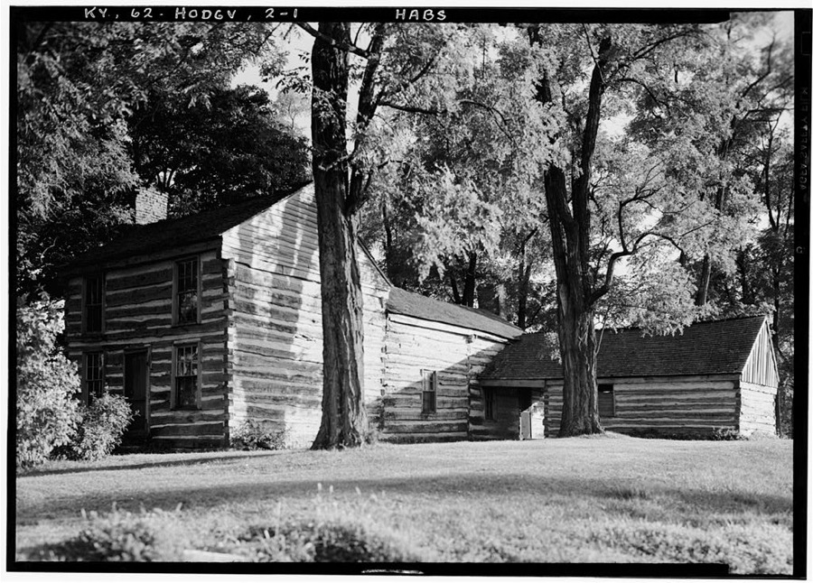
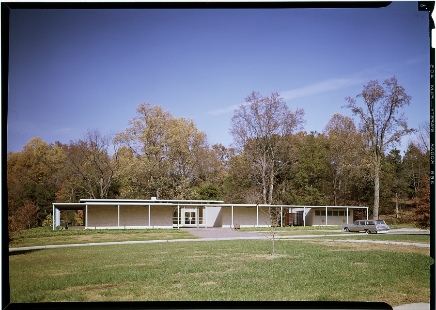
Every property in this county listed on the National Register of Historic Places, with the year it was listed and the federal nomination document.
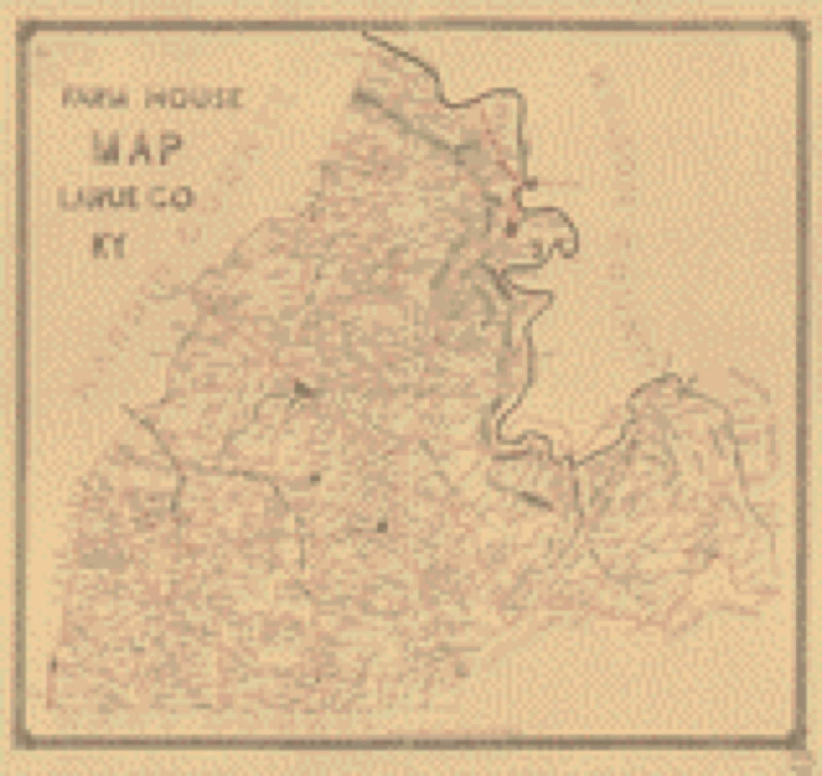
Drawn when these were printed as single large sheets: the town seen from the air, and the county divided into its farms with every owner named. Each opens the original at the Library of Congress.
Selected from the Digital Public Library of America's 2 image records catalogued for this county. Every one shown here carries a public-domain status or a licence that permits reuse on a site that carries advertising; non-commercial, share-alike and restricted images are excluded. The selection is spread across the county's towns (at most eight per town), so no single institution's bulk upload crowds out the rest. Each opens the holding library's record, and the complete set at the Digital Public Library of America is one click away.

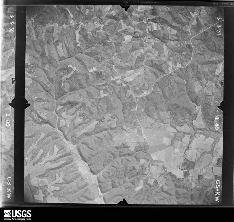
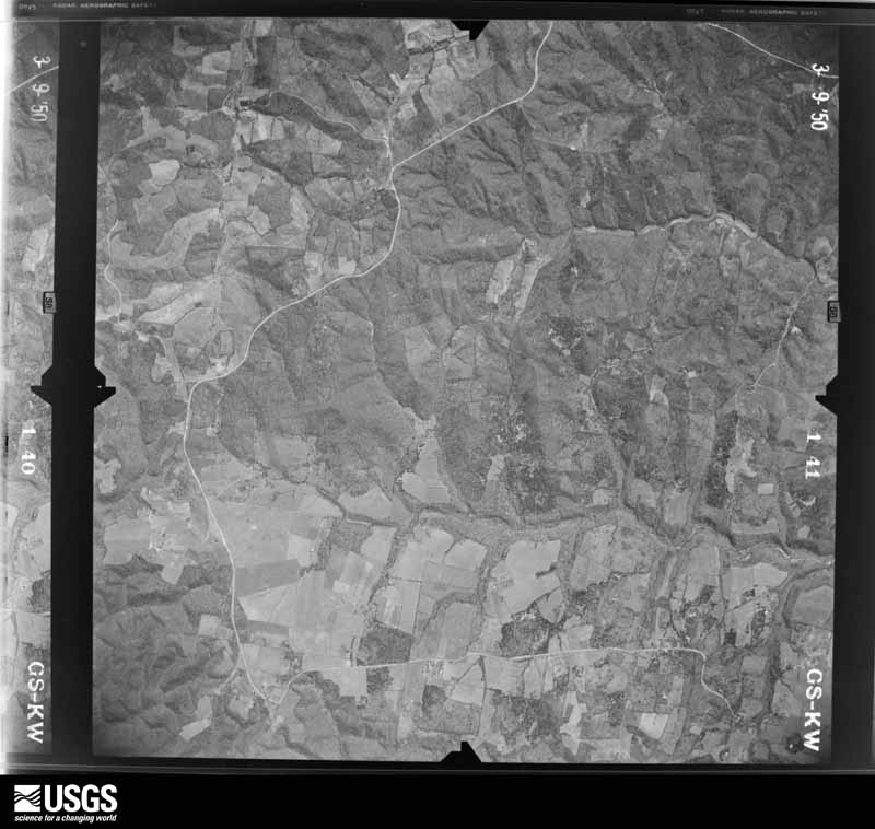
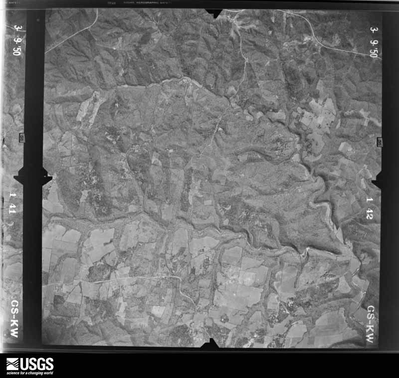
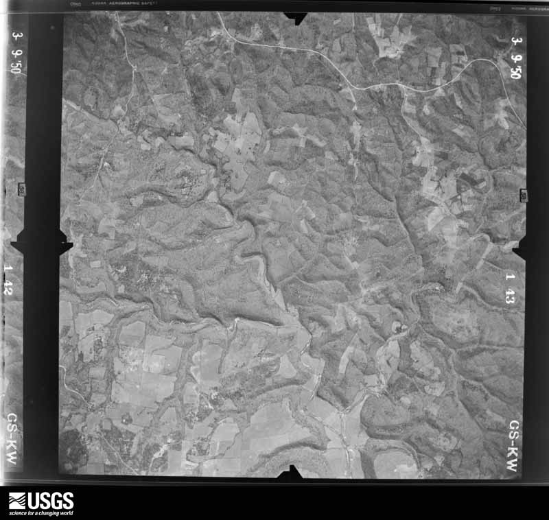
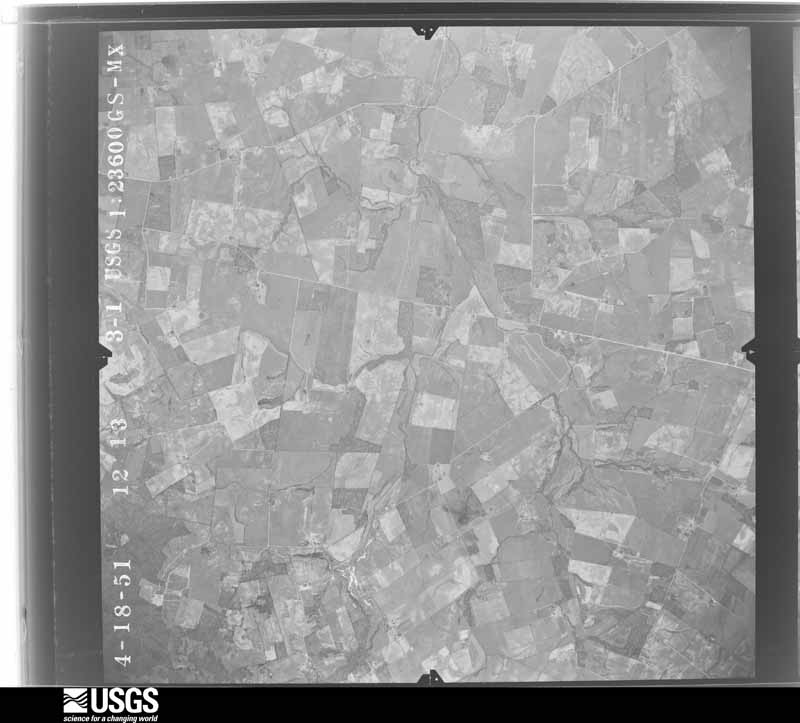
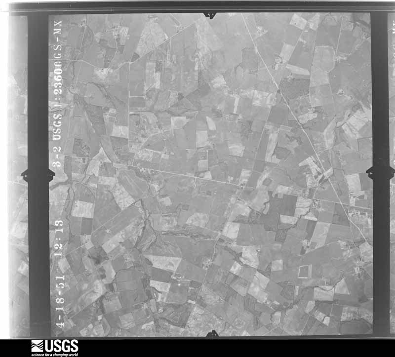
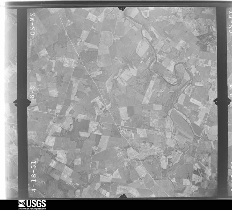
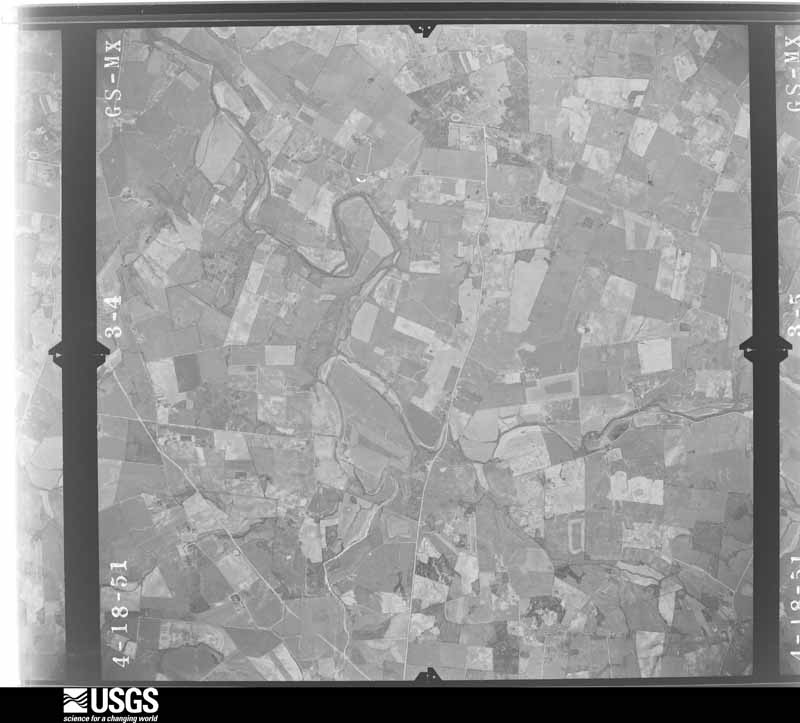
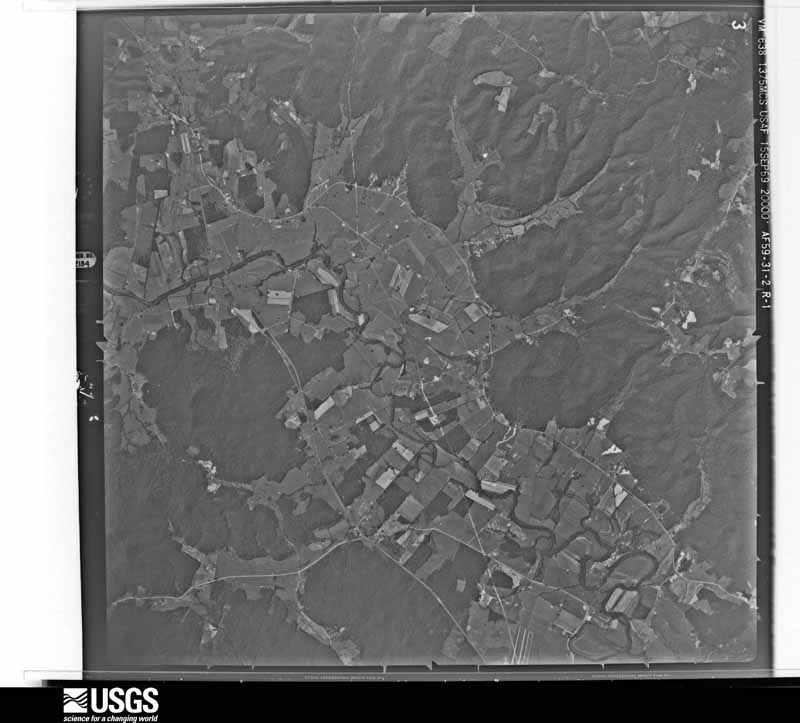
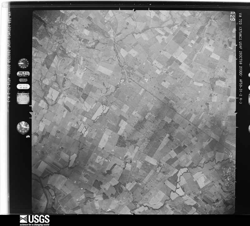
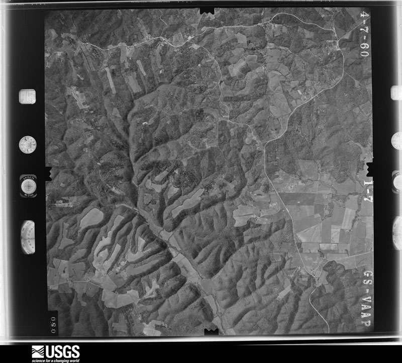
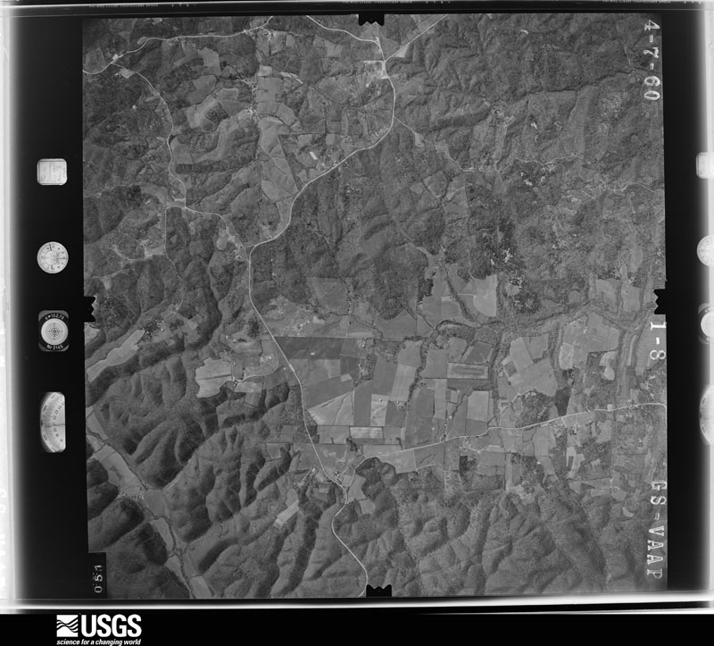
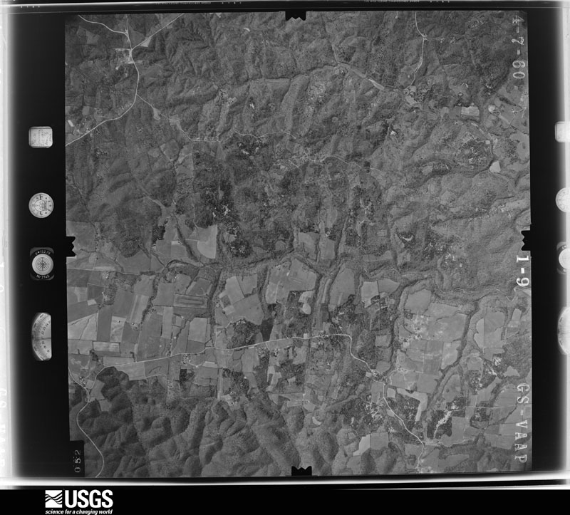
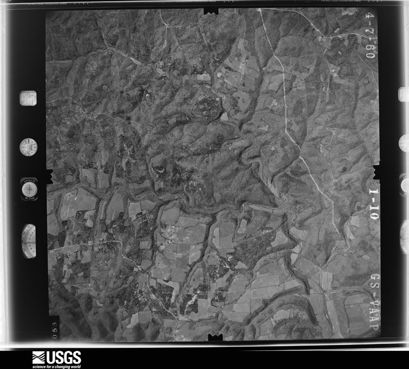
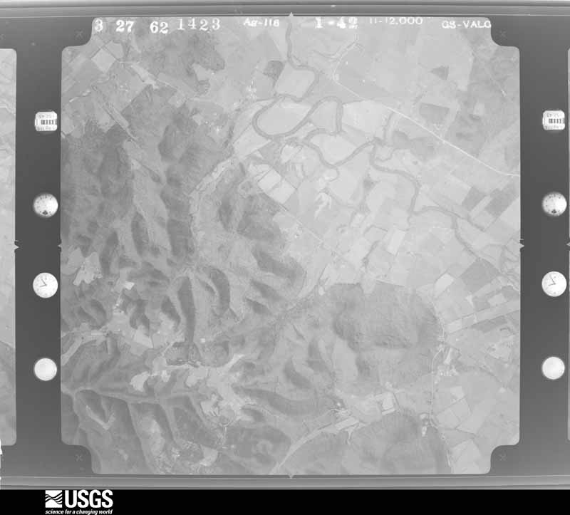
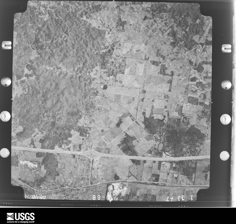
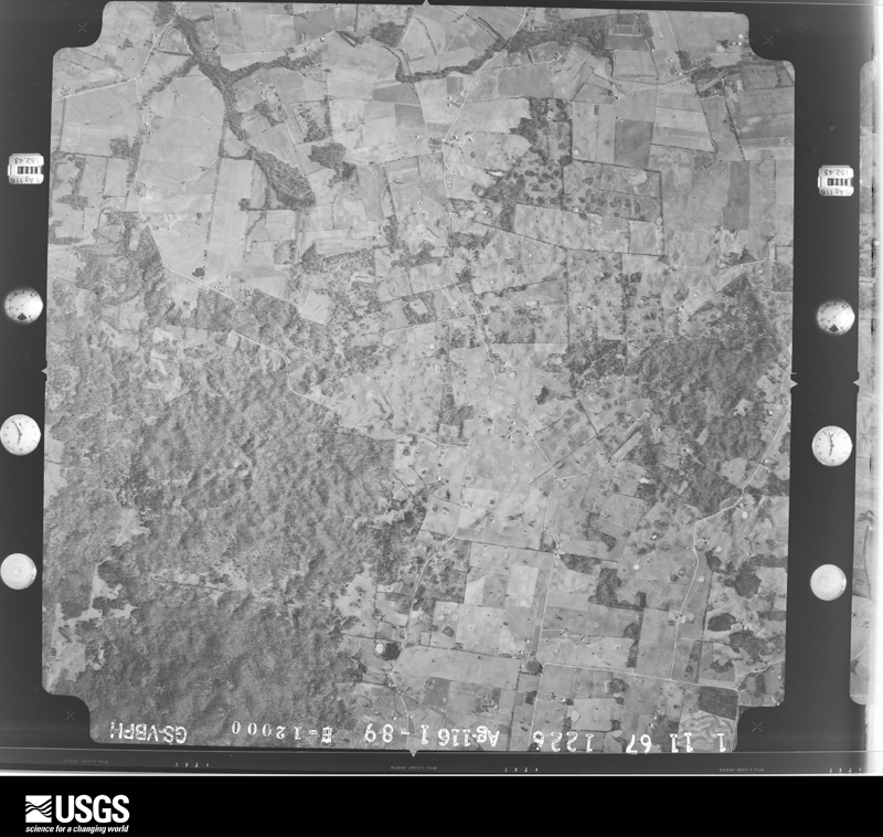
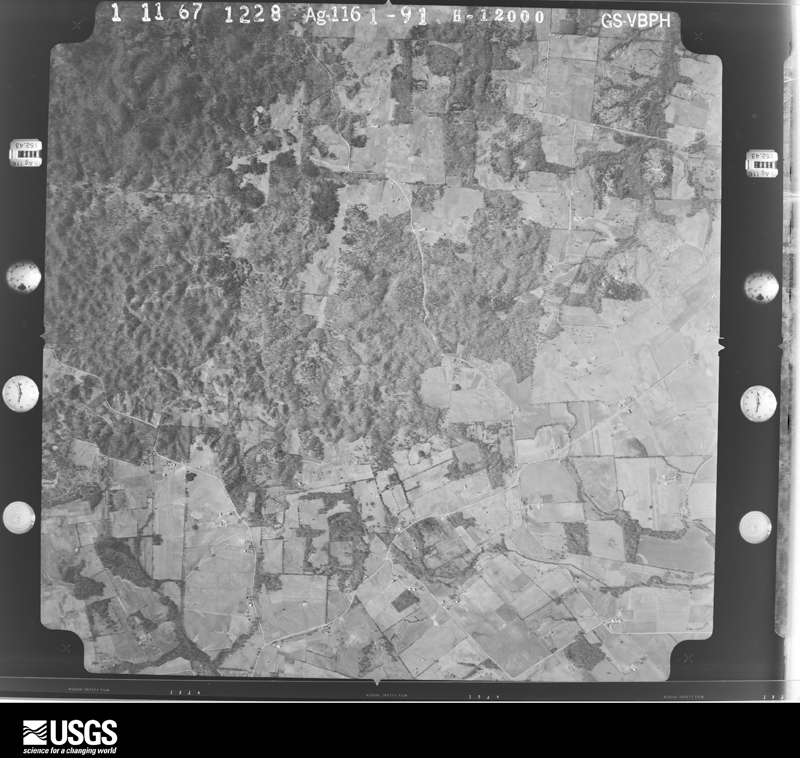
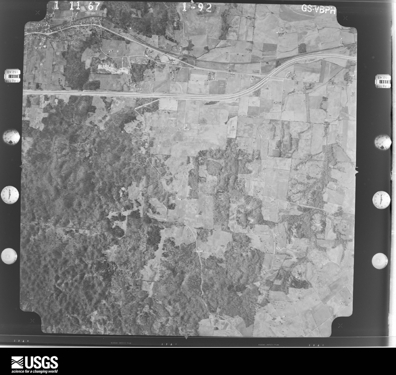
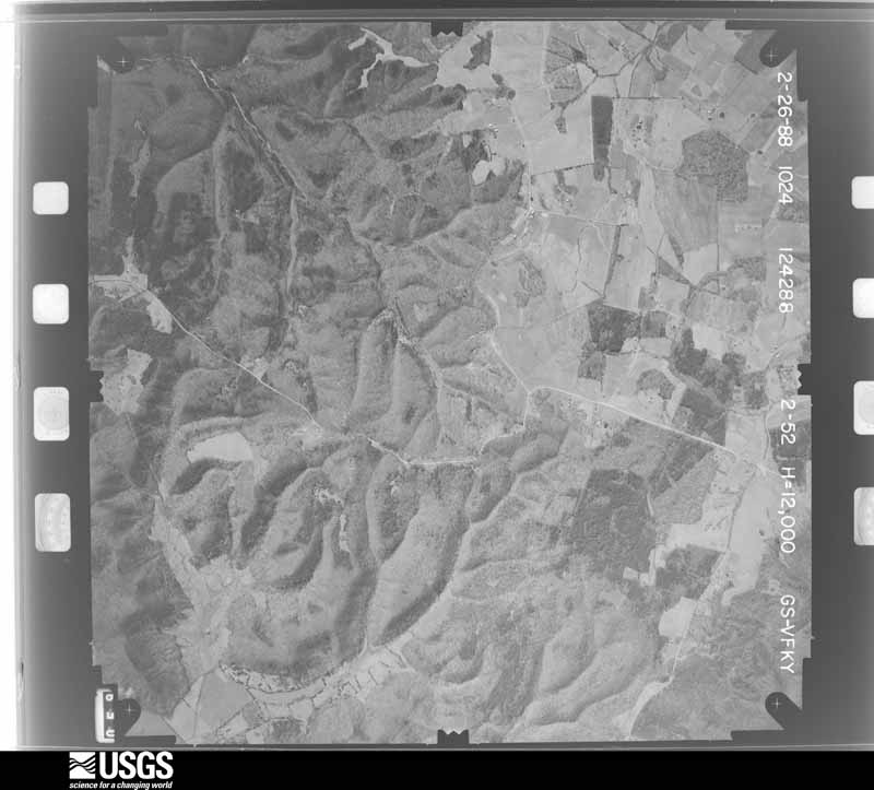
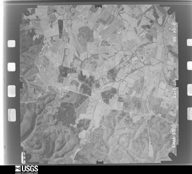
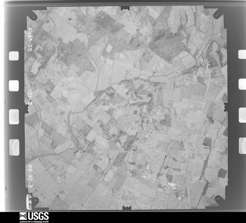
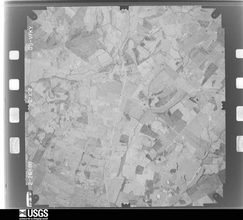
Flown by the U.S. Geological Survey between 1937 and 1989, the Aerial Photo Single Frames collection is the definitive mid-century view of the land: fields, roads and rivers as the camera saw them. The Survey holds 665 frames inside the rectangle that bounds this county; the 25 frames below were taken over the county itself, chosen across the decades of flights (at most four a year from that rectangle), so one flight cannot crowd out the rest. The full set is free to browse and download at EarthExplorer under the dataset Aerial Photo Single Frames.


The thermometers that kept this county's weather, and the gages that measured the flow of its streams, as the federal records hold them. The extremes below are measured values from those records, not estimates.
Who lived here in 1950, one enumeration district at a time, as the Census Bureau described each district. Each row opens its official National Archives result, with Population Schedules and ED Maps available there.
Every wildfire the federal occurrence database records inside this county: 50 of them, burning about 784 acres. None started naturally and 2 were recorded as arson. Each settlement page carries the fires within five miles of it.
| Reported cause | Fires |
|---|---|
| Missing data/not specified/undetermined | 18 |
| Debris and open burning | 13 |
| Recreation and ceremony | 10 |
| Railroad operations and maintenance | 5 |
| Arson/incendiarism | 2 |
| Smoking | 2 |
The five largest, by the area the report gives. None of them was recorded as arson.
| Date | Cause | Size | Reported by | Name on the report |
|---|---|---|---|---|
| 21 October 2010 | Railroad operations and maintenance | 215 acres | Kentucky Division of Forestry | SONORA FIRE |
| 8 January 2006 | Missing data/not specified/undetermined | 80 acres | Kentucky Division of Forestry | not named |
| 15 November 1999 | Missing data/not specified/undetermined | 75 acres | Kentucky Division of Forestry | not named |
| 25 February 2004 | Missing data/not specified/undetermined | 65 acres | Kentucky Division of Forestry | not named |
| 21 February 2000 | Debris and open burning | 53 acres | Kentucky Division of Forestry | not named |
| 29 February 2004 | Missing data/not specified/undetermined | 40 acres | Kentucky Division of Forestry | not named |
| 22 February 2014 | Recreation and ceremony | 40 acres | Kentucky Division of Forestry | STILES FORD ROAD |
| 22 February 2014 | Railroad operations and maintenance | 26 acres | Kentucky Division of Forestry | BROWN ROAD |
Every settlement page carries the fires within five miles of it - see the settlement index below.
The NOAA Storm Events Database holds 207 reports for this county, causing no deaths, 28 injuries and about $5,660,500 in recorded property damage. Each settlement page carries the reports that name it.
| Kind of event | Reports |
|---|---|
| Thunderstorm Wind | 123 |
| Hail | 39 |
| Flash Flood | 22 |
| Tornado | 15 |
| Flood | 6 |
| Heavy Rain | 2 |
The most serious of them, by death, then injury, then recorded damage. The accounts are quoted exactly as the forecast office filed them.
| When | Event | Place named | Harm | What the report says |
|---|---|---|---|---|
| March 1952 | Tornado (F3) | not stated | 18 hurt, $250,000 | no account filed |
| November 1989 | Thunderstorm Wind | not stated | 6 hurt | no account filed |
| March 1997 | Tornado (F3) | Magnolia | 1 hurt, $3,000,000 | no account filed |
| February 1993 | Thunderstorm Wind | not stated | 1 hurt, $50,000 | One person was injured when a barn was blown over near Mount Sherman. |
| April 2023 | Thunderstorm Wind | Roanoke | 1 hurt | One person sustained a neck injury from storm debris that was blown through a window at their residence. |
| August 1987 | Thunderstorm Wind | not stated | 1 hurt | no account filed |
| June 2013 | Tornado (EF2) | Tonieville | $500,000 | During the late evening hours, a bowing segment embedded within a lengthy line of storms parallel to and south of the Ohio River began to surge southeast. On the northeast section of this segment, a reflectivity notch became apparent. A circulation developed and quickly spawned an EF-2 tornado across northern LaRue County. ||The tornado touched down near the Hardin-LaRue county line between Routes 210 and 61 just northeast of Tonieville. On Castleman Road, just northeast of the Castleman-Carter Brother's Road intersection, a metal shop had its metal sheeting roof removed and thrown downwind around 100 yards. Its garage door was bent and insulation was scattered about. Several trees were uprooted near this location. Damage was estimated as EF-1. ||Downstream, on Carter Brother's Road, a large RV was blown on its side within a mostly destroyed shed. A two story pole tobacco barn was destroyed. Many Red and White Oak trees were either sheared off or had lost many large limbs. Across the road a metal livestock building was destroyed with chaotic damage around a house. Winds here were estimated at around 115 mph, or EF-2.| |Along State Road 1607, not far from the intersection of Salem Church and Dan Dunn Roads, a silo was caved in and a portion of a corn field flattened. ||Considerable damage was surveyed along portions of Slack Road. A one-room schoolhouse was destroyed. A dairy farm had several buildings destroyed, along with many trees uprooted. Based on damage to this dairy farm, tornadic winds up to 130 mph were estimated, near the high end of the EF-2 scale. Also along Slack Road, a two-story house has its entire roof removed. Blown-in insulation was caked on the entire side of a house. A shed was destroyed along with a few trees. The tornado lifted around one fifth of a mile northeast of Nuff Cemetery, near the intersection of Trumbull and Roanoke Roads. |
| January 2006 | Tornado (F1) | Talley | $500,000 | no account filed |
| April 2018 | Thunderstorm Wind | Mathers Mill | $200,000 | Two miles SW on Hodgenville on Old Sonora Road a large 36x30 foot well built metal barn sustained significant structural damage when the barn broke free from the foundation. Portions of the trusses and 6x6 poles were found 100 yards to the east. Several large pieces of metal roofing and siding were blown eastward up to 1/2 mile and several splintered sections of the roof were impaled in the ground nearby. There was sporadic wind damage eastward from this point and then a concentrated area of damage at Larue County Middle School. Wind gusts lifted a section of the cafeteria roof and threw it about 25 feet downwind to the east. About 100 yards further east from the school, a small storage shed was pushed into the dugout dislodging several concrete blocks. Winds around the school area were estimated to be around 65 mph. Northeast of Hodgenville in Ovsen Heights, a concentrated area of wind brought down several power poles and trees knocking down a few outbuildings and back deck areas. Winds were estimated to be 65 to 70 mph at this location. |
| February 2012 | Tornado (EF2) | Hodgenville | $200,000 | A tornado touched down near Kyle Street around 2 miles west of Hodgenville. It began as a very narrow 80 yard tornado that did minor roof and shingle damage. It uprooted some cedar trees and damaged some fencing. This tornado then crossed Tanner Road and briefly lifted just west of downtown Hodgenville after staying on the ground for just less than one mile. The tornado then touched down again on the east side of Main Street near the State Farm Insurance Company and Citizen's Union Bank. At this point the tornado strengthened to an EF-2. Two cars were rotated and one was flipped onto the other in the State Farm parking lot. On Wobegone Way, the tornado widened to 200 yards and significantly damaged 3 homes, removing the roof and collapsing the exterior walls of one. After entering a wooded area near Miami Court, it narrowed and became more elevated. It damaged many roofs with the heaviest damage occurring to a day care center. As the tornado crossed State Highway 210, it uprooted numerous trees and damaged several additional buildings. It finally lifted around 80 yards east of Highway 210. The length of this second touchdown was 0.8 miles. |
| January 2008 | Thunderstorm Wind | Buffalo | $150,000 | Thunderstorm winds blew a tree on to a home. Other homes in the Buffalo area had shingle damage. Several trees were downed in the area. |
| June 2017 | Tornado (EF1) | Mathers Mill | $100,000 | The tornado first downed a large tree on McDowell Rd 2.8 miles south of Hodgenville. It damaged tree tops at the Lincoln Birthplace National Historical Park as it moved northeast. At the end of Earl Jones Road, the tornado destroyed one cinder block and wood barn and damaged the roof of another, scattering debris several hundred yards. The tornado then skipped intermittently over primarily open farmland for several miles before uprooting and snapping several trees along Leafdale Road west of Highway 470. |
| May 2014 | Thunderstorm Wind | Hodgenville | $100,000 | A storm survey confirmed widespread straight line wind damage in Hodgenville. A compact but fast moving bow echo that earlier damaged Radcliff brought a measured wind gust of 68 mph to a Kentucky Mesonet site just west of Hodgenville. Numerous soft and hardwood trees had either toppled or had had branches stripped and thrown in a southeasterly direction. A concentrated area of damage consistent with 70 mph winds was surveyed just east of downtown Hodgenville. Awnings and some roof siding were stripped from several buildings. Widespread tree damage was noted near the Red Hill Cemetery. The cemetery's large flag pole was bent at a nearly 45 degree angle. Hail up to half dollar size fell for an estimated 20 minutes. |
| July 2004 | Thunderstorm Wind | Countywide | $100,000 | Trees and power lines were blown down. Unspecified structural damage was reported. |
| March 1997 | Tornado (F2) | Creal | $100,000 | no account filed |
| July 2007 | Thunderstorm Wind | Jericho | $75,000 | A barn was blown down. |
| November 2000 | Thunderstorm Wind | Mt Sherman | $60,000 | no account filed |
| May 1997 | Thunderstorm Wind | Hodgenville | $40,000 | no account filed |
| May 2014 | Thunderstorm Wind | Maxine | $30,000 | A new barn, with its doors open to its east, was destroyed when thunderstorm winds entered the structure. |
| August 2006 | Thunderstorm Wind | Buffalo | $30,000 | A barn was blown down. |
| April 2018 | Thunderstorm Wind | White City | $25,000 | NWS Employee reported structural damage east of Hodgenville with roofing and insulation material scattered across road. |
| March 2017 | Thunderstorm Wind | Upton | $25,000 | Local broadcast media reported that severe thunderstorm winds damaged a metal roof. |
| June 1985 | Tornado (F0) | not stated | $25,000 | no account filed |
| April 1972 | Tornado (F1) | not stated | $25,000 | no account filed |
| February 2012 | Tornado (EF2) | Hodgenville | $20,000 | Based upon several witnesses interviewed by a NWS Damage Survey Team, who reported seeing two different tornadoes near the Miami Court and Wobegona Way area, this tornado was determined to have developed just before an earlier one lifted to its northeast. It touched down just south of Miami Court and moved east through a wooded area. Initially, this second tornado damaged only some treetops along a path 50 yards wide. After crossing State Highway 210, it widened to 100 yards and increased in strength, damaging a working garage and two homes off of Highway 916. One well constructed home had significant damage to its exterior walls. A dumpster was thrown 75 yards and snapped a tree along its path. The tornado was rated an EF-2 at this location. |
| June 1998 | Thunderstorm Wind | Buffalo | $20,000 | no account filed |
| July 2012 | Thunderstorm Wind | Hodgenville | $10,000 | The public reported the some siding and a portion of a roof were stripped from a home in Hodgenville. Numerous trees and power lines were downed in Hodgenville and across the rest of the county. |
| May 2004 | Thunderstorm Wind | Countywide | $10,000 | A vehicle was struck by a falling tree and power line in Magnolia. Other trees were downed countywide. |
| May 1998 | Thunderstorm Wind | Buffalo | $10,000 | no account filed |
| March 2020 | Thunderstorm Wind | Mathers Mill | $5,000 | A roof was blown off of a workshop, and several trees were downed. |
| June 1994 | Thunderstorm Wind | not stated | $500 | Hodgensville police reported trees down. |
| April 2026 | Tornado (EF0) | Roanoke | - | After the radar tornado debris signature (TDS) left Hardin County it moved into Laru County. This EF0 tornado likely skipped several times along its 2.2 mile track. Damage indicators were hard to come by, but a playground at Union Christian Church was damaged. No damage was found along Kerrick Lane where the track of the rotation passed, but then some tree damage was noted on Dan Dunn Rd and then ended on Spencer School Rd. |
| May 2025 | Thunderstorm Wind | Barren Run | - | A large tree was blown down across Sonora Road. |
| May 2025 | Thunderstorm Wind | Jericho | - | Multiple trees were blown down in the eastern part of LaRue County. |
| May 2025 | Thunderstorm Wind | Upton | - | A tree was blown down in Upton on the LaRue County side. |
| December 2025 | Tornado (EF0) | Buffalo | - | A National Weather Service damage survey determined that a brief EF0 tornado touched down about 1.5 miles east-northeast of Buffalo in LaRue County. Peak winds were 85 mph with a path width of 20 yards and a two mile long path. Most of the impacts from the tornado consisted of a mixture of downed trees, collapsed barns, and shingle damage to some homes. |
| May 2024 | Flash Flood | Athertonville | - | Heavy rainfall caused Knob Creek to overflow its banks near Abraham Lincoln's boyhood home in northern LaRue County. Debris from flood waters washed into Bardstown Road (U.S. Route 31E), blocking it for a short time. |
| May 2024 | Thunderstorm Wind | Hodgenville | - | Trees were blown down by strong winds across LaRue County. |
| September 2024 | Thunderstorm Wind | Magnolia | - | A few trees were blown down along U.S. Route 31 just north of Magnolia. |
| September 2024 | Thunderstorm Wind | Gatton | - | Strong winds produced scattered tree damage across eastern and southeastern LaRue County. |
| September 2024 | Thunderstorm Wind | Mt Sherman | - | Strong winds resulted in scattered tree damage east of Magnolia in southeastern LaRue County. |
| September 2024 | Thunderstorm Wind | Buffalo | - | A couple trees were blown down along Greensburg Road. |
| September 2024 | Thunderstorm Wind | Hodgenville | - | Power poles and lines were damaged by strong winds in Hodgenville. |
| September 2024 | Thunderstorm Wind | Hodgenville | - | A few trees were downed in Hodgenville. |
| March 2024 | Thunderstorm Wind | Mathers Mill | - | A large tree blew down on Miller Road. |
| July 2024 | Thunderstorm Wind | Hodgenville | - | Trees were downed by strong winds on Cox Lane in Hodgenville. |
| July 2024 | Thunderstorm Wind | Hodgenville | - | Strong winds caused roof damage to a house on Shawnee Drive in Hodgenville. |
| January 2023 | Thunderstorm Wind | Barren Run | - | Trees were knocked over on Jenkins Road. |
| January 2023 | Thunderstorm Wind | Mathers Mill | - | Trees were reported down on State Route 84 near the intersection with State Route 357. |
| January 2023 | Thunderstorm Wind | Mathers Mill | - | Trees were blown down on Sonora Road and Tanner Road. |
| January 2023 | Thunderstorm Wind | Tonieville | - | Trees were blown down on Old Elizabethtown Road. |
| February 2023 | Flash Flood | Buffalo | - | Five roads across LaRue County had to be closed due to a combination of flowing and standing water. |
| June 2023 | Thunderstorm Wind | Hodgenville | - | A video showed scattered tree damage around a house in Hodgenville. |
| June 2023 | Thunderstorm Wind | Roanoke | - | Pictures showed a few uprooted trees. |
| June 2023 | Thunderstorm Wind | Hodgenville | - | The National Weather Service conducted a storm assessment survey with Larue County Emergency Management for the storms on Sunday evening June 25. There was a concentrated area of straight line winds of 70 mph around Hodgenville. Trees were topped and snapped and a few shallower trees were uprooted. All of the damage was facing from the west northwest to the east southeast. There was no indication of tornadic rotation. |
| July 2023 | Thunderstorm Wind | Roanoke | - | Trees were blown down by strong winds in northern Larue County. |
| July 2023 | Flood | Roanoke | - | Flooding on Dan Dunn Road was observed. |
| May 2022 | Thunderstorm Wind | Buffalo | - | Trees were knocked down on Greensburg Road near Buffalo. |
| May 2022 | Thunderstorm Wind | Buffalo | - | A portion of a metal roof was blown off an outbuilding at the LaRue County Country Club. |
| April 2022 | Tornado (EF1) | Talley | - | A National Weather Service storm survey team in coordination with Larue County Emergency Management surveyed damage in southern Larue County from storms that occurred on Wednesday evening. It was determined that a brief EF-1 tornado that was embedded within a larger area of straight-line winds touched down 1.3 miles southeast of Upton, traveled east for just over 2.5 miles, and then lifted 3 miles east-southeast of Upton. The EF-1 tornado had a max wind of around 100 mph, and a max path width of around 200 yards.||The tornado touched down at solid EF-1 strength just northwest of the intersection of Weldon Loop Road and Watkins Alvey Road where a small barn was completely destroyed, and debris was scattered in many directions almost a half mile to the northeast. In addition, a small lean-to section of another barn was thrown back to the northwest, clear evidence of cyclonic rotation. Hardwood trees just downstream from the barn were also snapped and laying in a convergent pattern, offering more support for tornadic winds.||The tornado continued roughly eastward along Weldon Loop Road where it did some light damage to a barn roof and brought down large limbs from a hardwood tree. This damage occurred near the intersection of Johnson Road and Weldon Loop Road, and was in the EF-0 strength range. The tornado continued to the ENE along Weldon Loop Road at EF- 0 strength as it caused minor roof damage to a house, and damaged a greenhouse near the intersection of Wheeler and Wheldon Loop Roads. The tornado finished the last half mile of its path along Upton Talley Road where it uprooted or snapped softwood trees, damaged barns, and did minor fascia and shingle damage to a couple of homes. The tornado lifted about a quarter mile past the Upton Talley and Lanny Heath Roads intersection.||It should be noted that this brief tornado occurred within a larger area of straight-line wind damage where some older barns were destroyed and numerous softwood and hardwood trees were snapped or uprooted. However, the damage was mainly laying in an east-northeast direction consistent with overall storm motion and a straight-line wind signature. It was considered to make this damage part of the overall tornado, however the path width would have been over a half mile wide, which is unlikely for brief spin-up tornadoes embedded in a QLCS.||It should also be noted that more sporadic, and overall weaker, straight-line wind damage continued eastward along a consistent path across southern Larue county. Most of this damage was consistent with winds between 60 and 70 mph toward and just north of the Magnolia community and points eastward. |
The Survey's mineral resources record lists 2 workings inside this county. None of them still produces: all are closed or unrecorded. Each settlement page carries the workings within five miles of it.
| Commodity | Workings |
|---|---|
| Clay | 2 |
The least common of them first, because a county's hundredth gravel pit says nothing its first ten did not.
| Where | Site | Commodity | Status | Recorded |
|---|---|---|---|---|
| Highway 84 Roadcut | Clay | Prospect | ||
| Rolling Fork Roadcut | Clay | Prospect |
Named settlements recorded in the Geographic Names Information System, each with the topographic sheets covering it. Villages, hamlets and abandoned places alike. Each is shown with the nearest named watercourse or landform and the survey quadrangle it falls on. The 1 place that was also surveyed for fire insurance comes first, with the number of atlases and photographs held for them.
Hodgenville census division · 42748 · On McDougal Creek · Hodgenville quadrangle
8 sheets, 1953 to 1981
Fire insurance: 7 atlases
Hodgenville census division · 42748 · On Knob Creek · New Haven quadrangle
9 sheets, 1953 to 1981
Hodgenville census division · 42748 · On Walters Creek · Hodgenville quadrangle
8 sheets, 1953 to 1981
Buffalo census division · 42716 · On Beaver Dam Creek · Hodgenville quadrangle
8 sheets, 1953 to 1981
Hodgenville census division · 42748 · Elizabethtown quadrangle
18 sheets, 1935 to 1991
No longer a settlement
Buffalo census division · 42748 · On West Fork Otter Creek · Howardstown quadrangle
9 sheets, 1953 to 1981
Buffalo census division · 40052 · On Salt Lick Creek · Howardstown quadrangle
9 sheets, 1953 to 1981
Magnolia-Upton census division · 42784 · Near Barefoot Hollow · Hammonville quadrangle
11 sheets, 1934 to 1986
No longer a settlement
Magnolia-Upton census division · 42748 · On Dye Branch · Hammonville quadrangle
11 sheets, 1934 to 1986
No longer a settlement
Hodgenville census division · 40051 · On Murphy Creek · New Haven quadrangle
9 sheets, 1953 to 1981
Buffalo census division · 42748 · On Ball Hollow Prong · Hibernia quadrangle
9 sheets, 1953 to 1986
No longer a settlement
Magnolia-Upton census division · 42748 · On Morrison Branch · Tonieville quadrangle
15 sheets, 1935 to 1992
Magnolia-Upton census division · 42776 · On Tucker Creek · Hammonville quadrangle
11 sheets, 1934 to 1986
Magnolia-Upton census division · 42764 · On Wathen Creek · Magnolia quadrangle
9 sheets, 1953 to 1986
Hodgenville census division · 42748 · Near Cecil Ridge · Nelsonville quadrangle
10 sheets, 1953 to 1981
Buffalo census division · 42716 · On South Fork Branch · Hodgenville quadrangle
8 sheets, 1953 to 1981
Magnolia-Upton census division · 42784 · Near Barefoot Hollow · Hammonville quadrangle
11 sheets, 1934 to 1986
Magnolia-Upton census division · 42776 · On Chestnut Fork · Tonieville quadrangle
15 sheets, 1935 to 1992
Hodgenville census division · 42748 · On Craddy Creek · Hodgenville quadrangle
8 sheets, 1953 to 1981
No longer a settlement
The vanished settlements of Larue County: the places named above that are no longer on the map.
8 topographic sheets and 7 fire insurance atlases, 1886 to 1944
The complete index, with nothing left out. Each of these is a separate record with its own page: a federal survey report, or the case file that argued a property on to the National Register. Both are public domain and reproduced word for word.
The vanished settlements of Larue County, the places these records name that are no longer on the map.