 Block
Transylvania Beach, Kentucky
21 topographic sheets cover this place, the earliest surveyed in 1905 and the latest in 1993. It stands in the East Jefferson census division. It lies in ZIP code area 40059. It stands on Harrods Creek. The Survey maps it on the Jeffersonville quadrangle.
On record in Transylvania Beach
Buildings and businesses the archive holds for this place. Each opens its own page, with the source record it came from.
On the National Register within a mile 4 records
The National Register names another town for these. They stand within one mile of this settlement's coordinate.
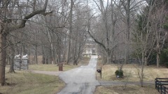 Barber-Barbour Houselisted 1980 · 0.4 miles away
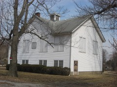 Jefferson Jacob Schoollisted 2012 · 0.9 miles away
- Belleviewlisted 1992 · 0.6 miles away
- McBride's Harrods Creek Landinglisted 2011 · 1.0 miles away
Topographic sheets covering this place
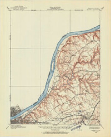
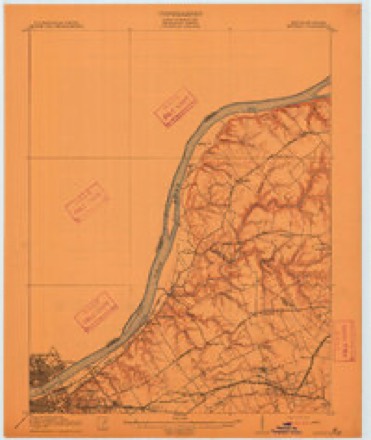
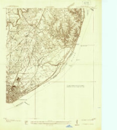
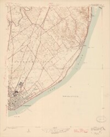
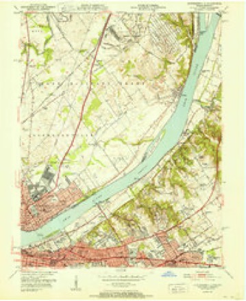
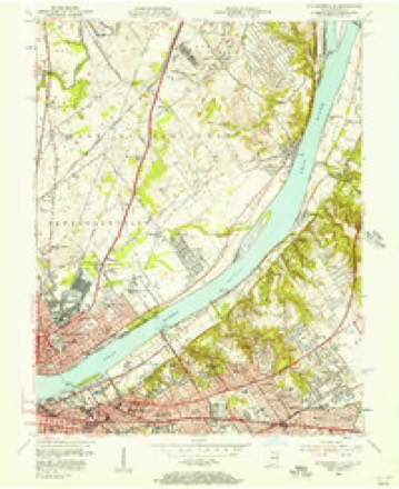
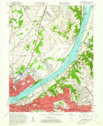
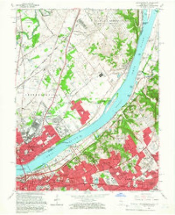
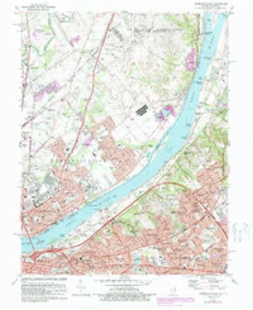
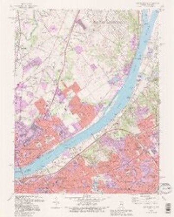
13 surveys from 21 printed sheetsMatched by testing this settlement's coordinate against the published boundary of every sheet in the United States Geological Survey's historical collection. Each opens the scanned sheet at the Survey.
- 1905 USGS Prospect quadrangle1:62500
- 1912 USGS Prospect quadrangle1:62500, 3 printings
- 1937 USGS Jeffersonville quadrangle1:24000
- 1946 USGS Jeffersonville quadrangle1:24000, 2 printings
- 1951 USGS Jeffersonville quadrangle1:24000
- 1955 USGS Jeffersonville quadrangle1:24000
- 1956 USGS Louisville quadrangle1:250000, 2 printings
- 1960 USGS Jeffersonville quadrangle1:24000
- 1964 USGS Louisville quadrangle1:250000
- 1965 USGS Jeffersonville quadrangle1:24000, 2 printings
- 1982 USGS Jeffersonville quadrangle1:24000, 2 printings
- 1986 USGS Louisville quadrangle1:100000, 2 printings
- 1993 USGS Jeffersonville quadrangle1:24000, 2 printings


Mines and quarries near this place
6 within 5 milesRegional context, not property-specific evidence. The federal mineral resources record lists 6 workings within 5 miles of Transylvania Beach: 3 past producers, 3 producers. 3 still produce. What was taken out: Sand and Gravel, Construction, Stone, Crushed/Broken. Distance is straight-line from the map coordinates, so a quarry counted here may appear on a neighbouring settlement's page as well.
| Where | Site | Commodity | Status | Recorded |
|---|---|---|---|---|
| Jeffersonville Plant | Stone, Crushed/Broken | Producer | ||
| Utica Quarry | Stone, Crushed/Broken | Past Producer | ||
| Alert Dredge | Sand and Gravel, Construction | Producer | ||
| Martha E. Green Dredge | Sand and Gravel, Construction | Past Producer | ||
| Utica Sand Plant | Sand and Gravel, Construction | Past Producer | ||
| Utica Sand and Gravel Pit | Sand and Gravel, Construction | Producer |
Storms near this place
2 since 2018Regional context, not property-specific evidence. The National Weather Service names Transylvania Beach in 2 storm reports between 2018 and 2024: 1 flood, 1 tornado. The reports record 22 injuries. Each account below is quoted exactly as the forecast office filed it, from the NOAA Storm Events Database, and each date opens the federal record of that event.
| When | Event | Place named | Harm | What the report says |
|---|---|---|---|---|
| April 2024 | Tornado (EF2) | Transylvania Beach | 22 hurt | The National Weather Service in Louisville surveyed storm damage in southeast Clark County IN, through far northeast Jefferson KY, and into western Oldham County. Specifically the tornado traveled just southeast of the Clark County Indiana Airport, east through Utica, crossing the Ohio River into Prospect, and lifting just east of the Sleepy Hollow Golf Course in Oldham County. The tornado was its strongest in Jefferson County, KY where it was an EF2 with 120 mph winds and 450 yards wide.||Jefferson County KY... As the tornado crossed the Ohio River, it strengthened and widened in Prospect KY. The Beechland Beach neighborhood had multiple homes with extensive damage. Three 2 stories well built homes had significant roof sections pulled|away, along with broken windows, air conditions twisted and torn off from side of homes. Three large pin oak trees were snapped and uprooted. One home had a collapsed back wall that faces against the path of the tornado. Damage in this neighborhood indicated that the tornado was an EF2 with 120 mph winds, and a|width of 400 yards. All homeowners heeded the tornado warning and sought shelter in a safe place.||From here, the tornado crossed through Hays Kennedy Park and into the northwest Prospect community and The Sutherlands neighborhood. Many homes incurred an array of roof damage, downed power lines, snapped power poles, uprooted trees, and trees |falling on homes. The tornado in this area was 110 mph, EF1, with maximum width of 450 yards. One homeowner on Shirley Avenue was trapped in his basement after a tree fell on his home. Surrounding neighbors worked to free the homeowner. Nearby a 7 foot large section of a locust tree was pulled away and thrown 20 yards and impaled in the ground some 4 feet. ||As the tornado cut through the Hunting Creek neighborhood, it strengthened to an EF2 with a maximum of 115 mph winds, with a width of 250 yards. Many trees had been uprooted or snapped, few homes had roof structures peeled back and two homes lost there entire roof. There was also mostly broken windows, inverted garage doors, blown mud and insulation around all 4 sides of the homes, and extensive shingle, gutter, and soffit damage. After passing through the neighborhood, the tornado exited Jefferson County into Oldham County. |
| February 2018 | Flood | Transylvania Beach | - | Mayfair Avenue at River Road closed due to high water and flooding. |
Nearest settlements
The eight closest, with where each one stands in the county. Distances are straight-line, computed from the Geographic Names Information System coordinates.
| Map | Place | Distance | Sheets |
|---|---|---|---|
| Gulthrie Beach | 0.8 miles | 21 | |
| Beechland Beach | 0.9 miles | 21 | |
| Riverside Beach | 1.0 miles | 21 | |
| Harrods Creek | 1.1 miles | 21 | |
| Juniper Beach | 1.5 miles | 21 | |
| Goose Creek | 1.8 miles | 21 | |
| Green Spring | 2.2 miles | 16 | |
| Prospect | 2.2 miles | 16 |
Provenance
This settlement is recorded in the Geographic Names Information System as feature 505466. The sheet list is computed by point-in-boundary test against the United States Geological Survey's historical topographic inventory. Both are works of the United States government and carry no copyright under 17 U.S.C. 105.
Mines and quarries. USGS Mineral Resources Data System (MRDS) https://mrdata.usgs.gov/mrds/ A work of the United States government, no copyright under 17 U.S.C. 105.
Storms. NOAA National Centers for Environmental Information, Storm Events Database https://www.ncei.noaa.gov/stormevents/ A work of the United States government, no copyright under 17 U.S.C. 105. Narratives are quoted verbatim from the National Weather Service report and are not edited or summarised.